Storm Chase Details
Miles Logged: 737
States Chased: TX
Tornadoes Witnessed: 1
Spotter Network Reports: 1

Severe Risks: SPC Outlooks
Severe Reports: Storm Reports
A down and back marathon chase to Northeast Texas to chase a moderate risk in the jungles of east Texas. We managed to score the Clarksville Texas Tornado in a nice open spot with minimal trees for that area. The tornado was quite photogenic.
Forecast
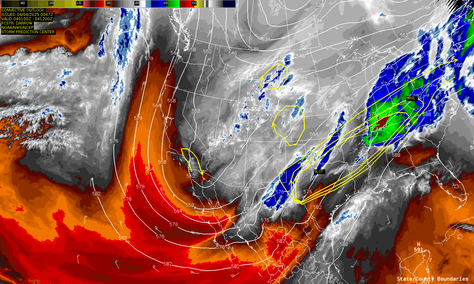
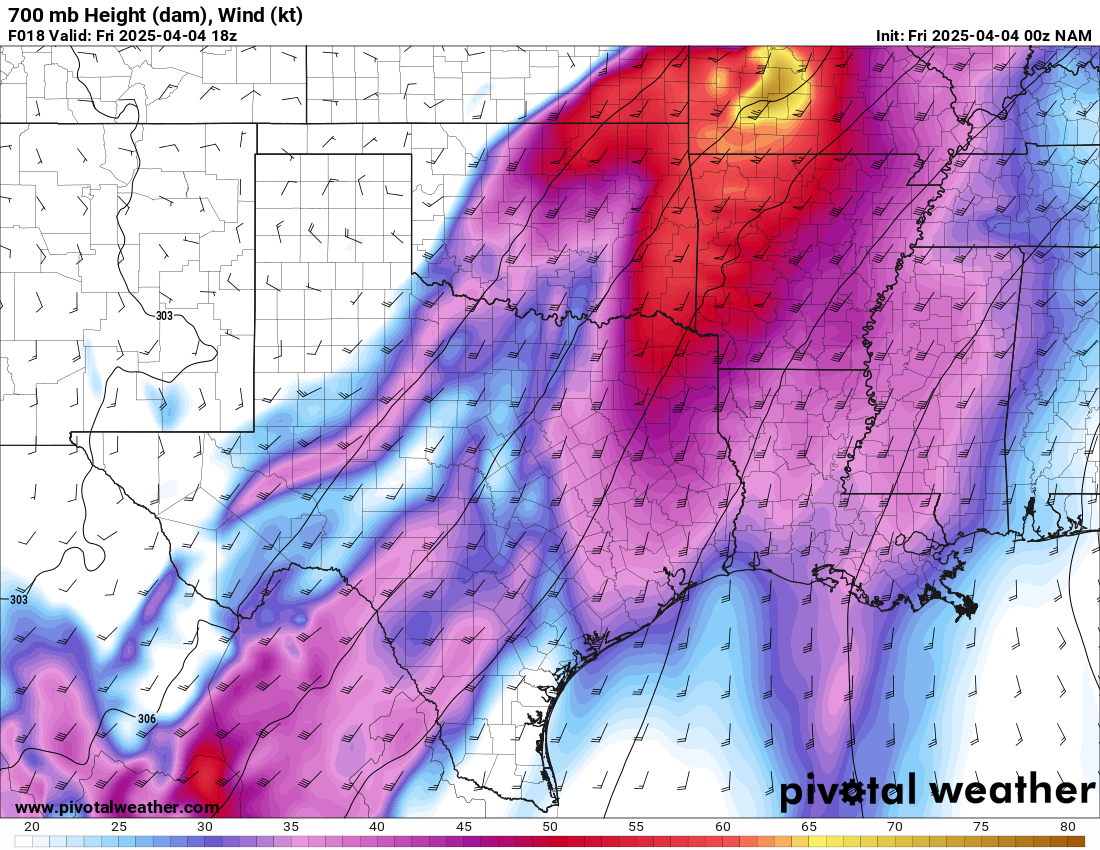
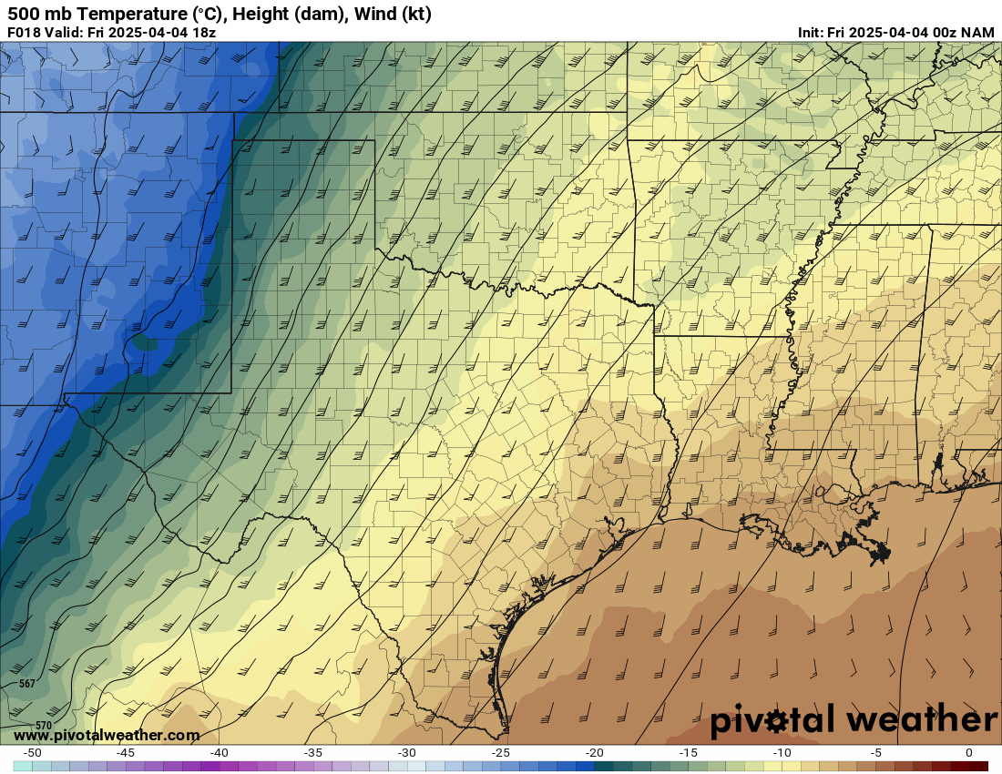
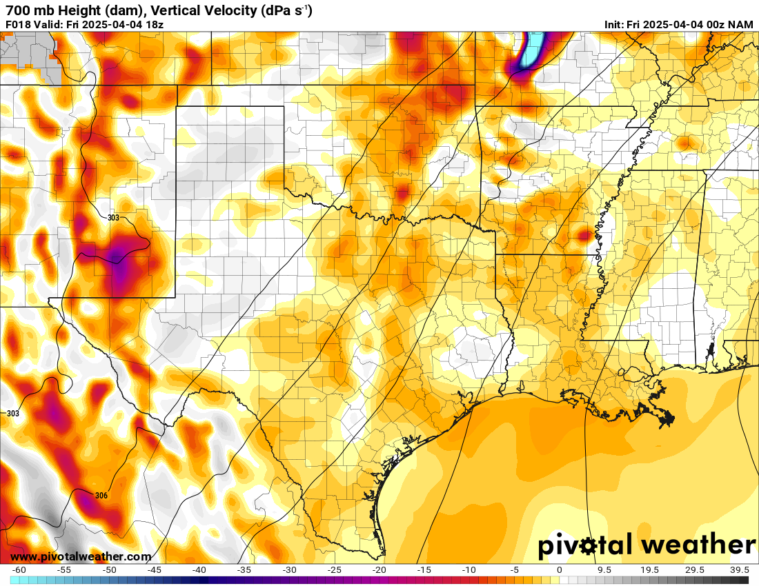
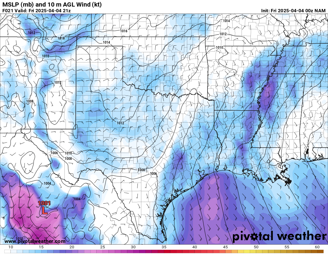
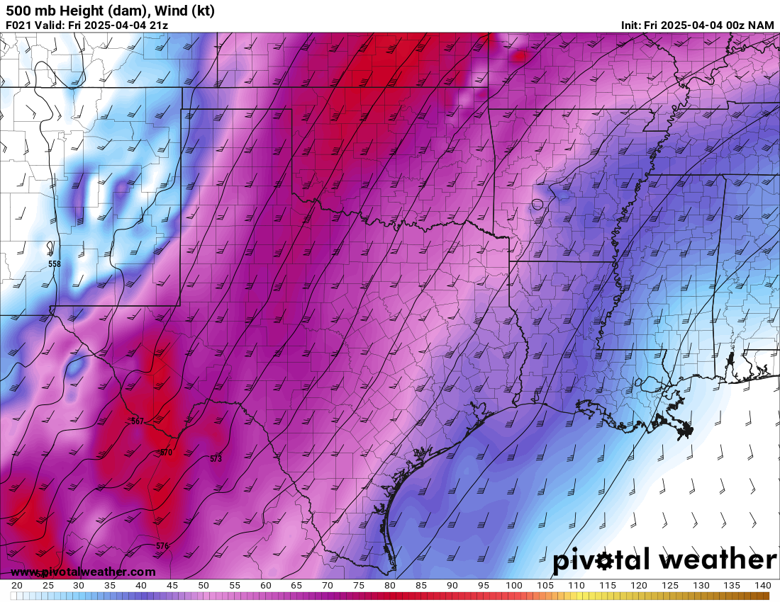
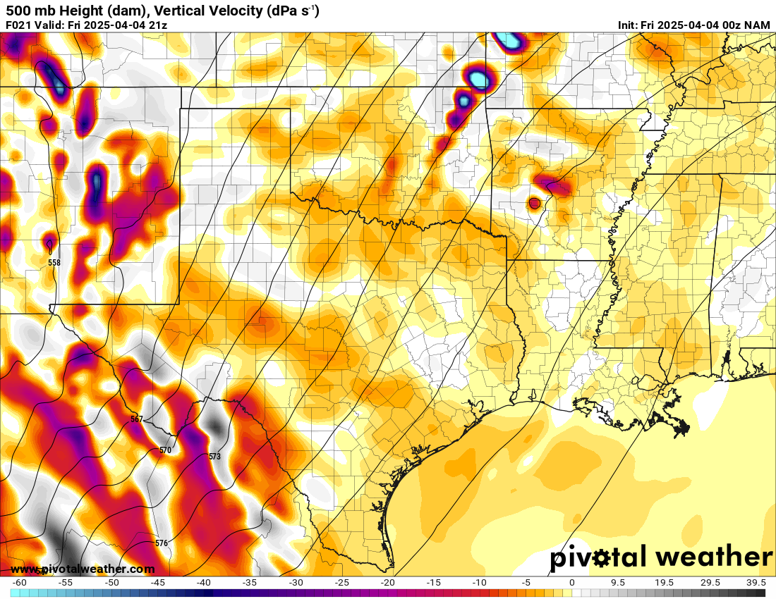
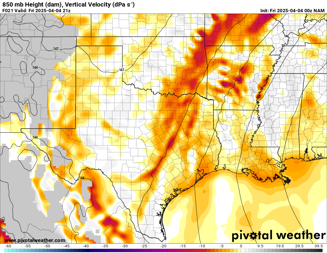
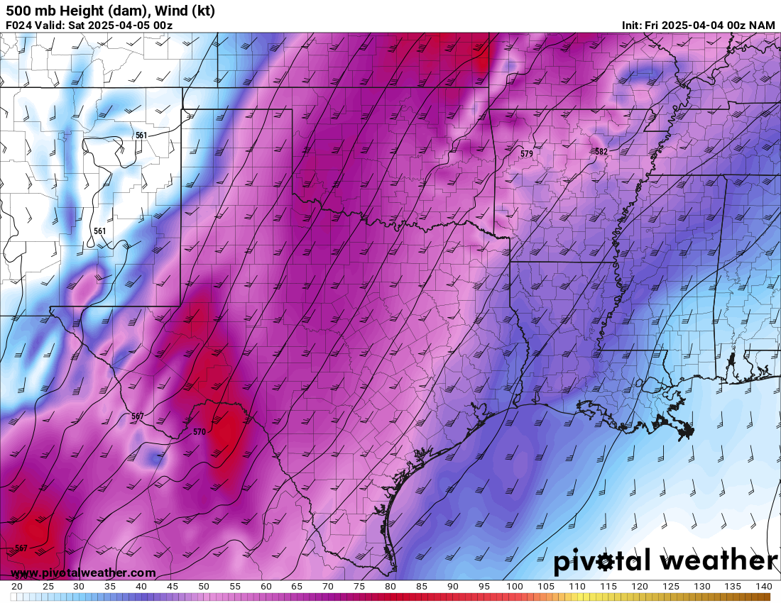
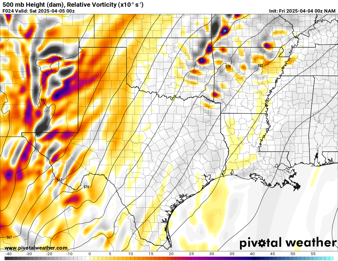
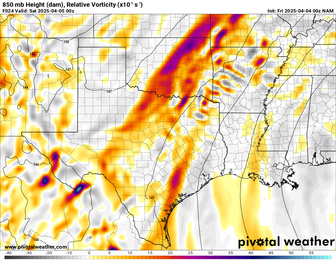
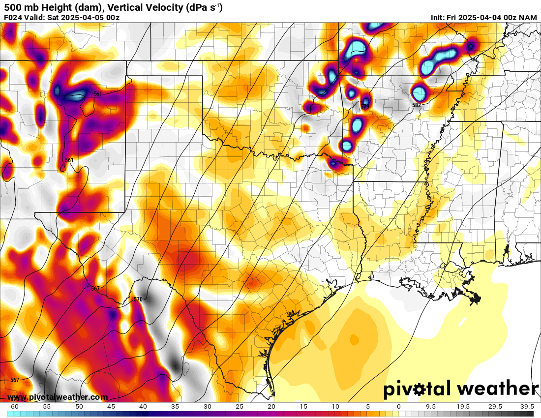
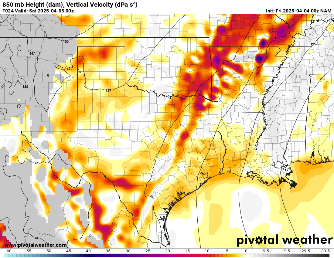
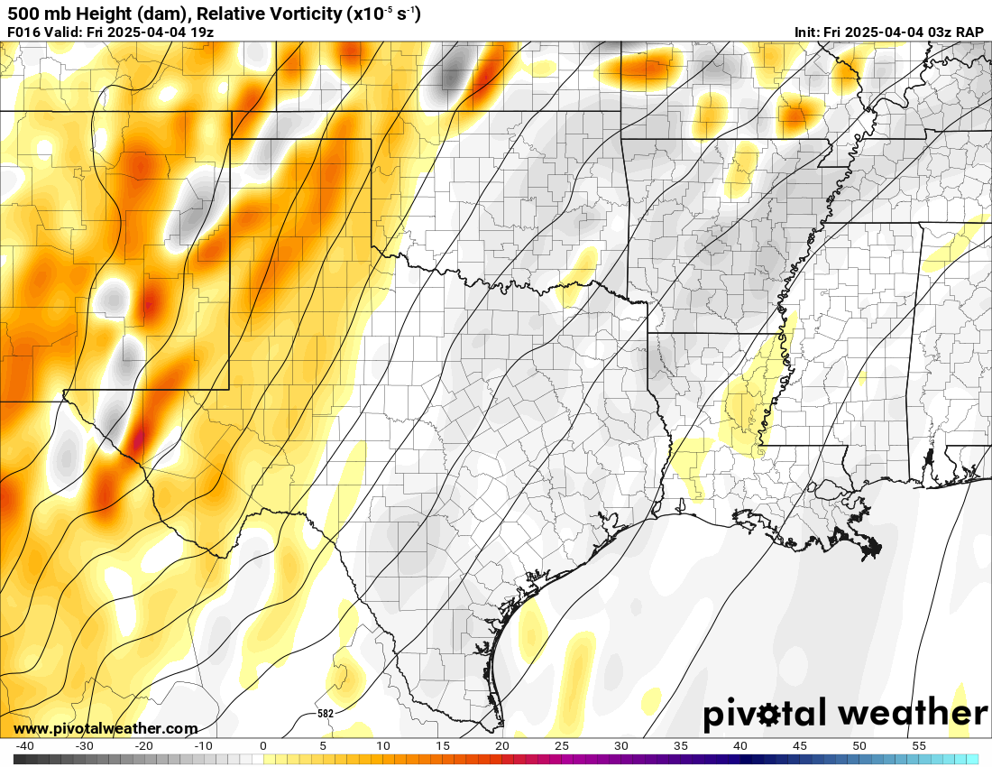
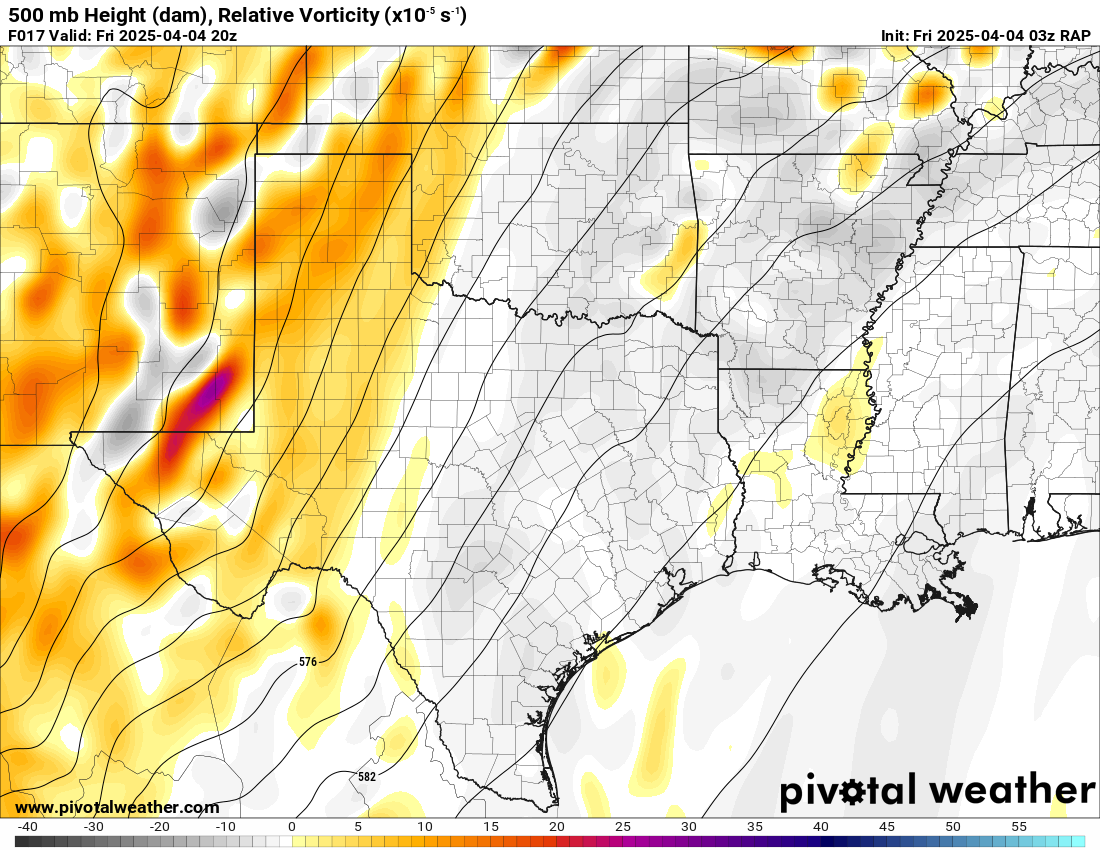
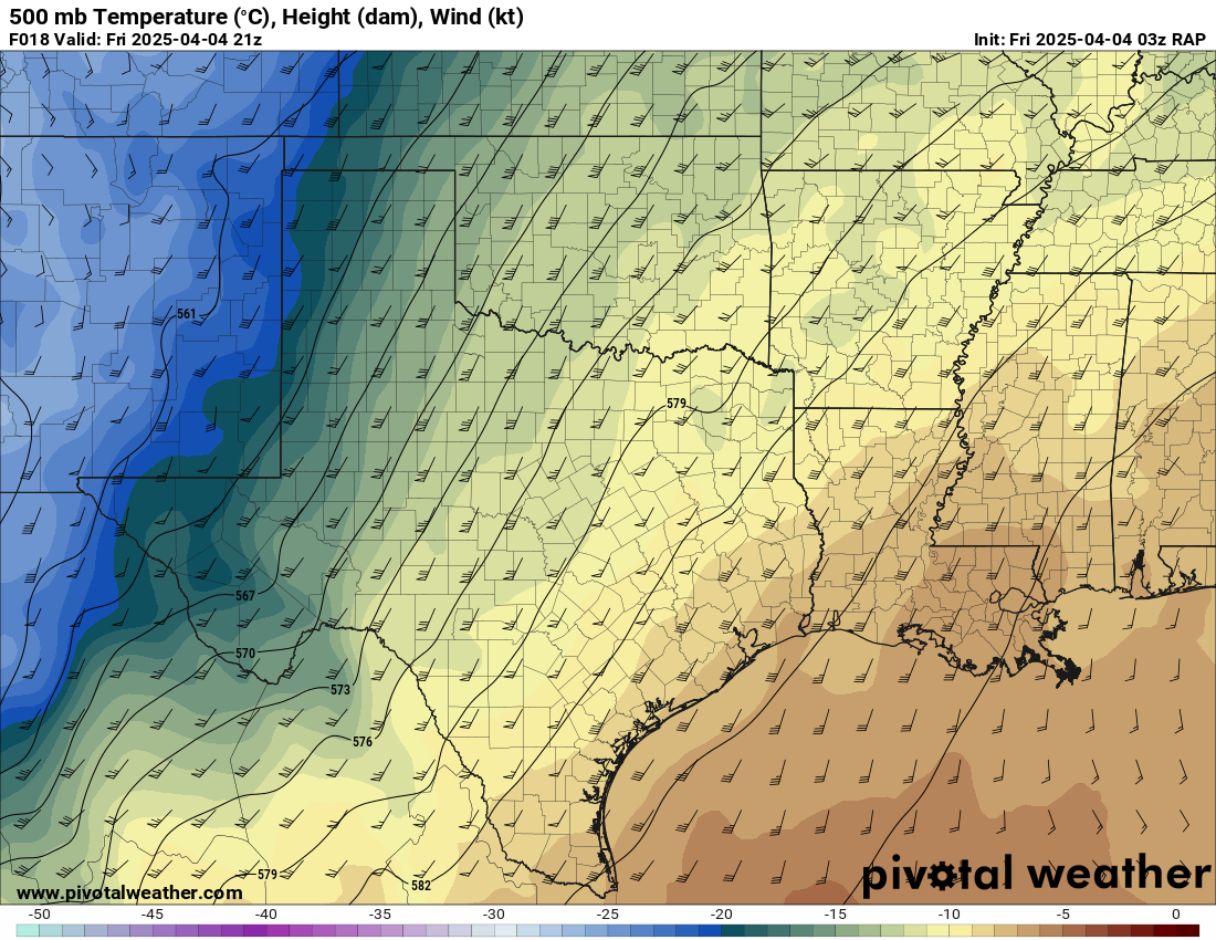
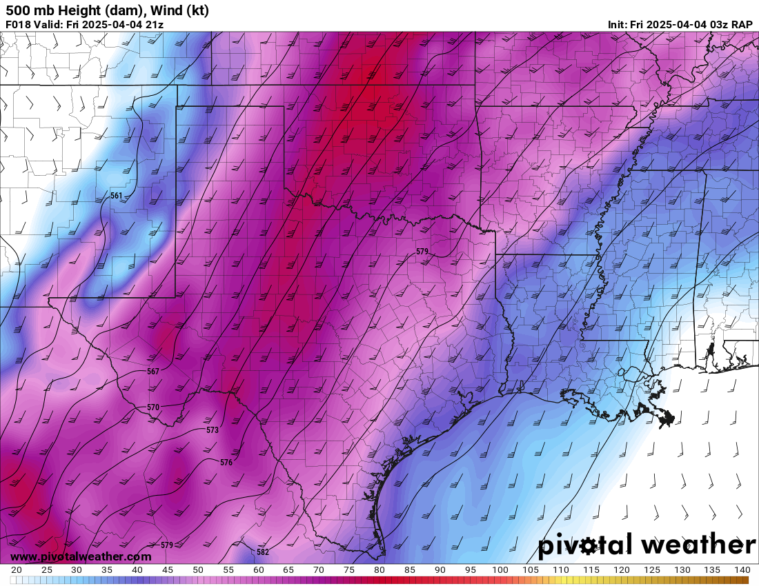
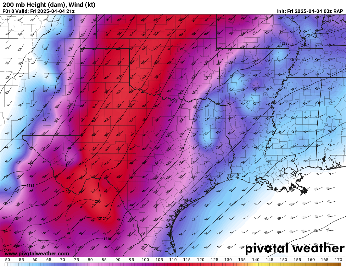
A large trough in the west with very moist/unstable airmass in place, it would come down to front placement. Storms would be initiating early, I estimated 2-3 pm. We’d need to get out of Norman early and get down there to have a chance of seeing anything.
00Z NAM Thursday Night
03Z RAP Thursday Night


Strategy
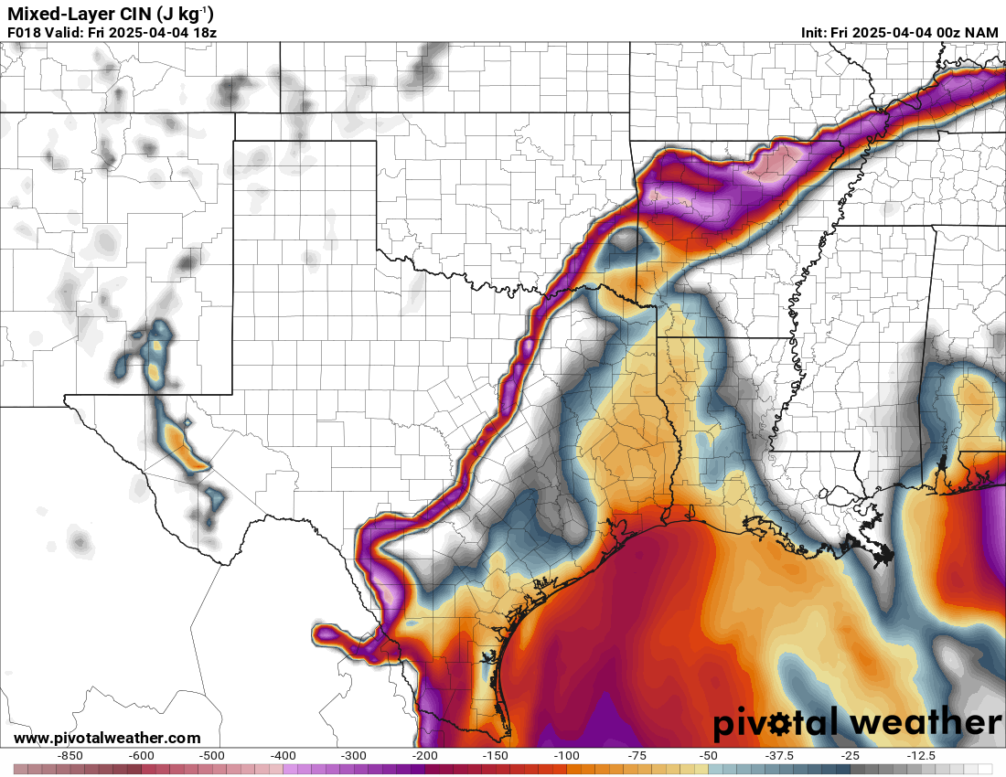
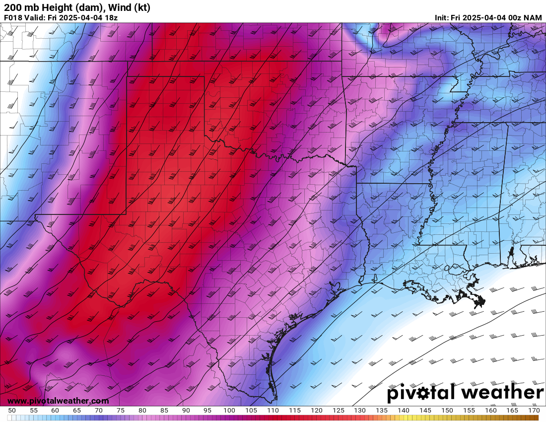
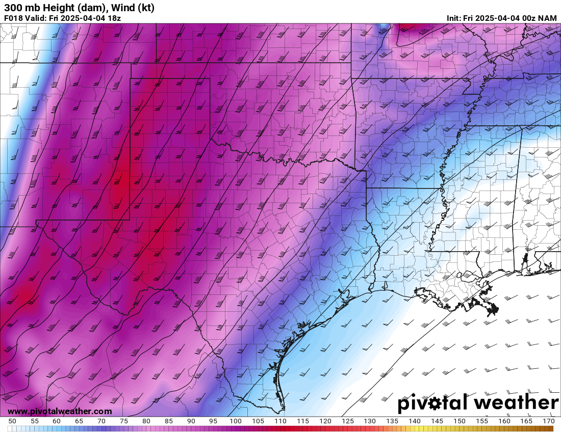
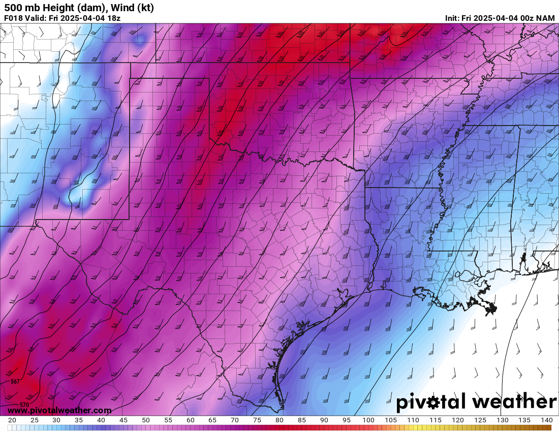
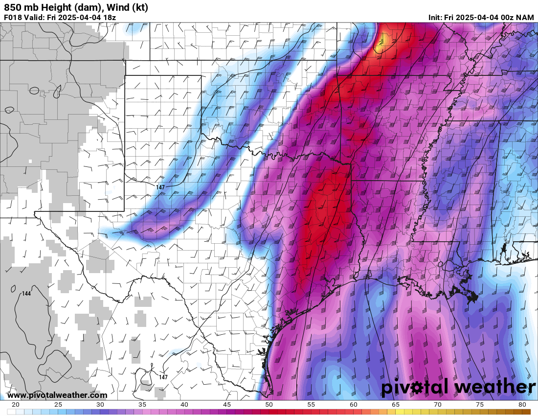
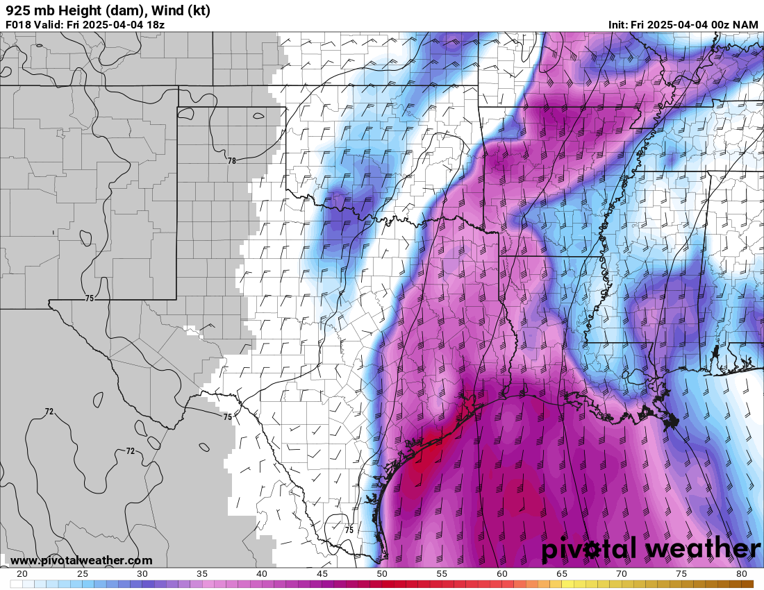
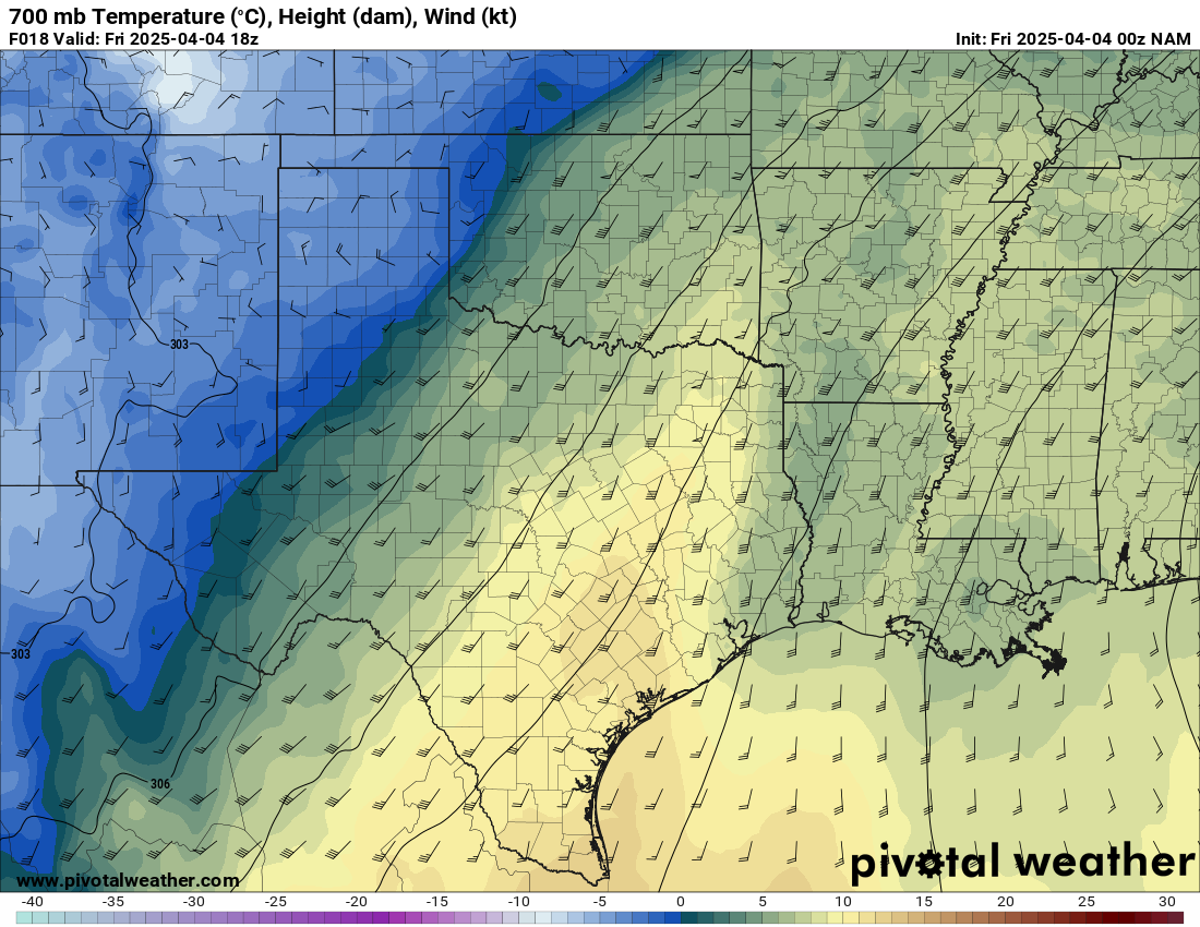
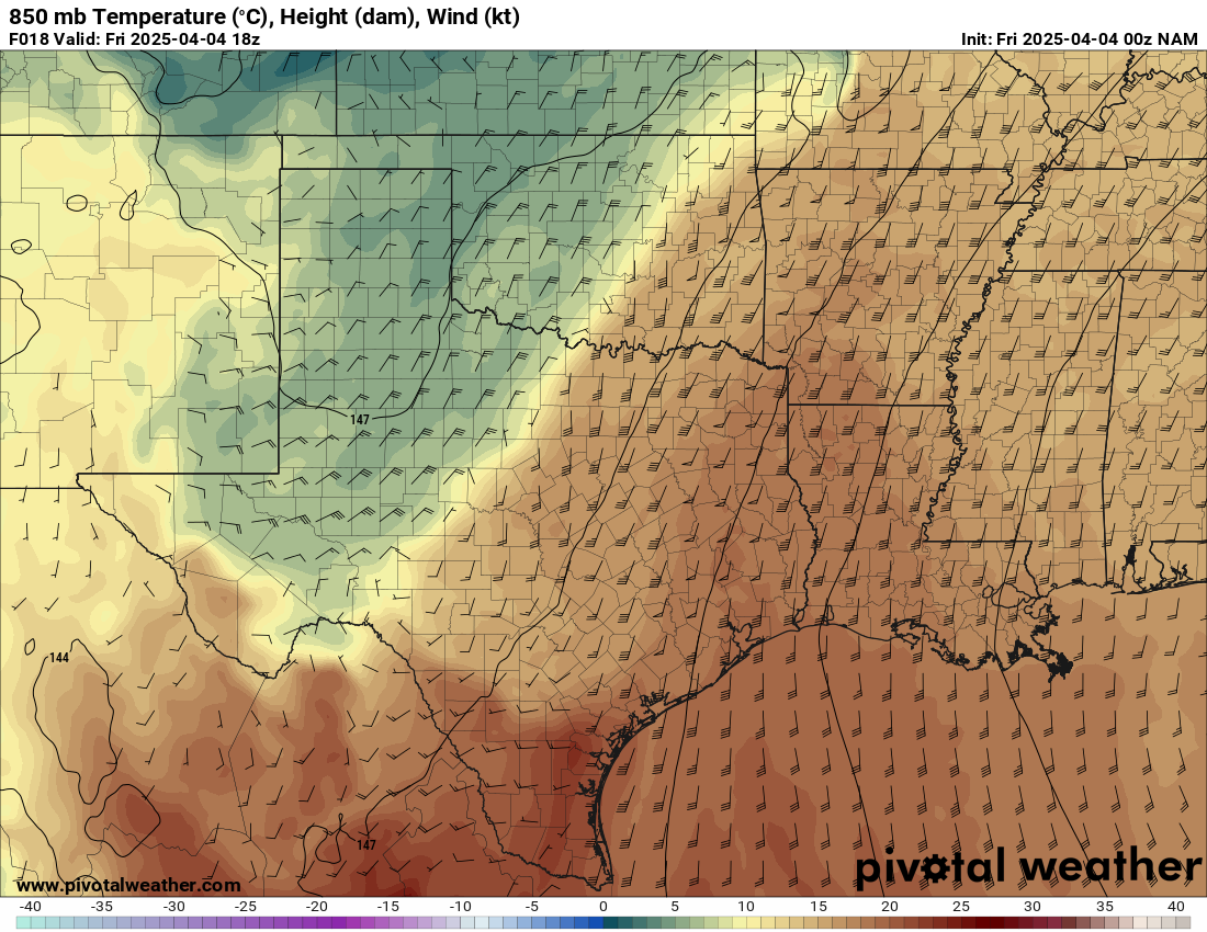
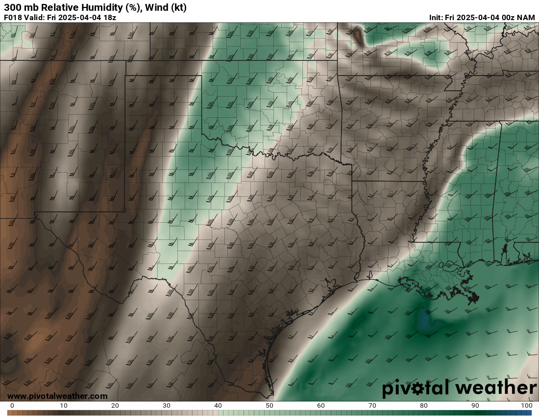
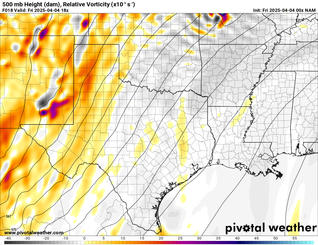
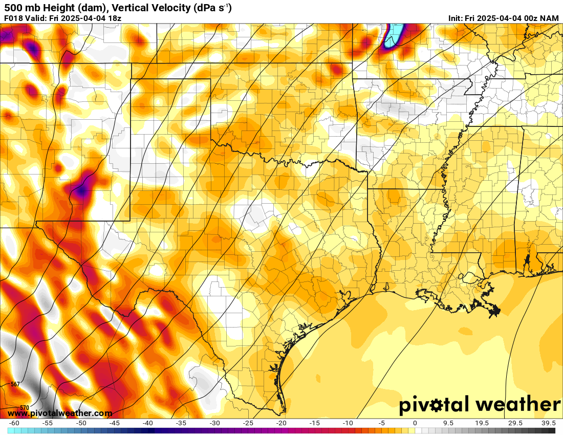
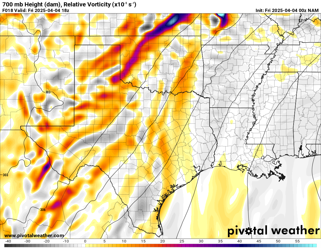
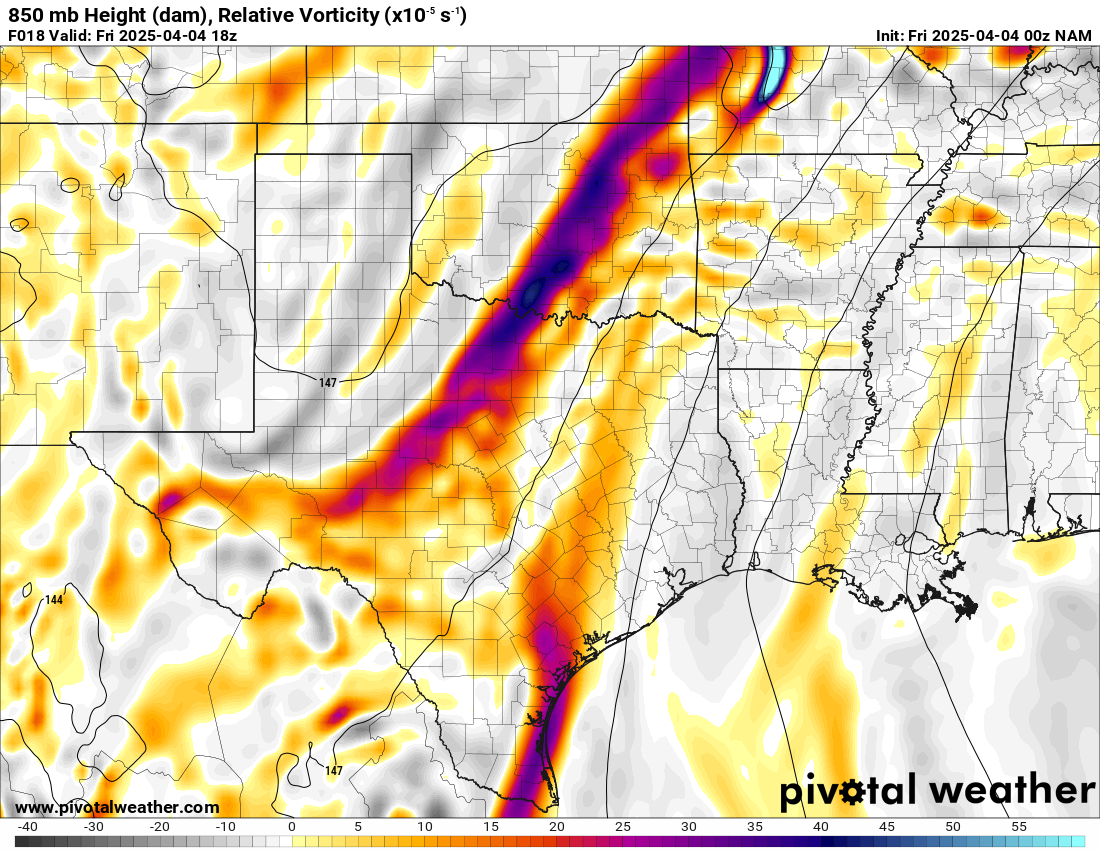
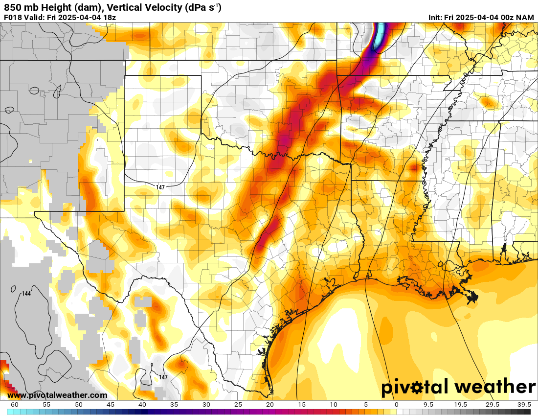
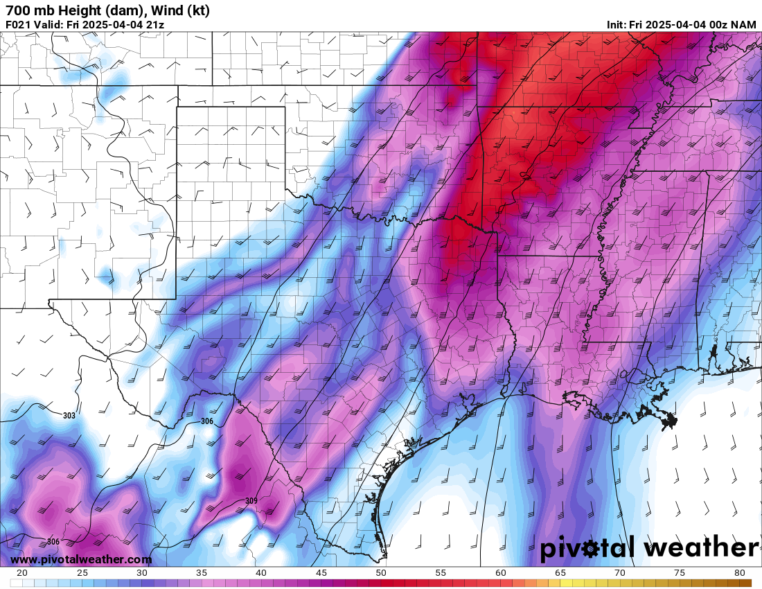
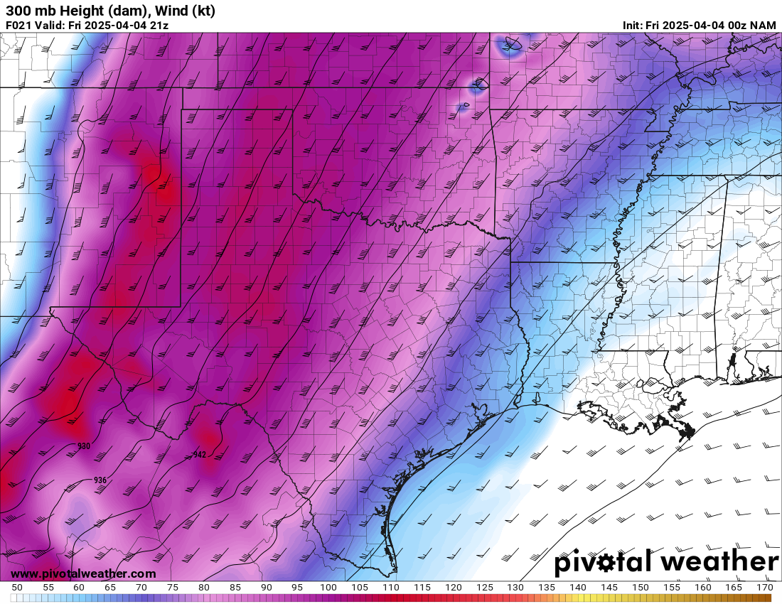
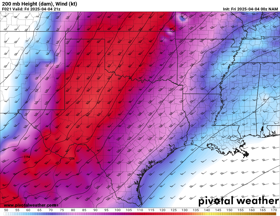
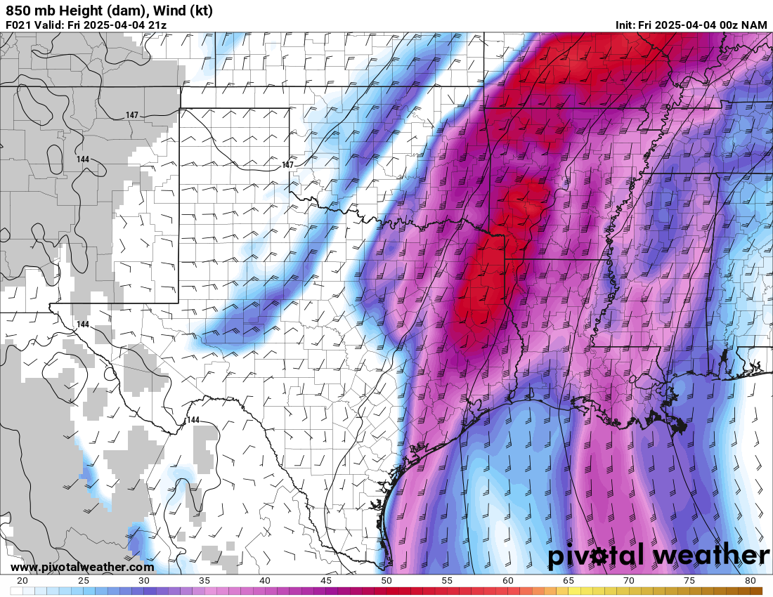
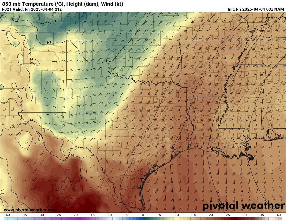
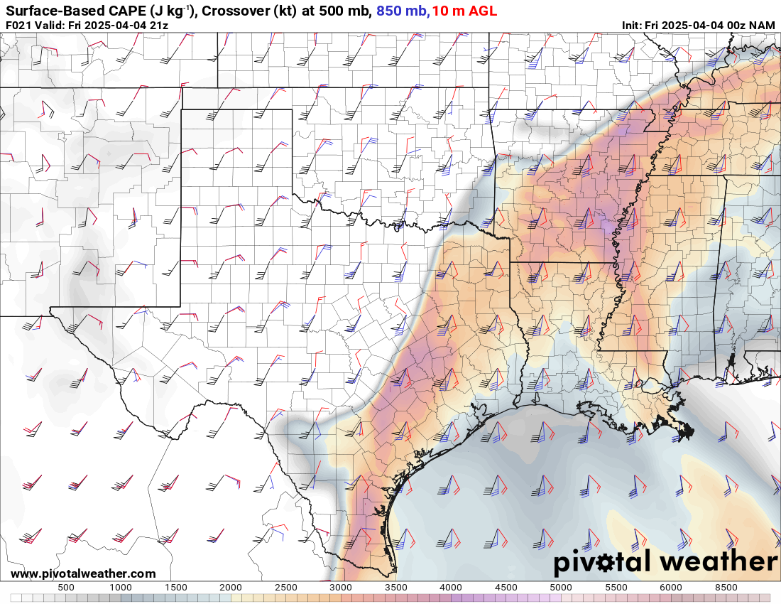
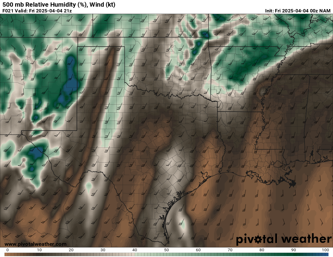
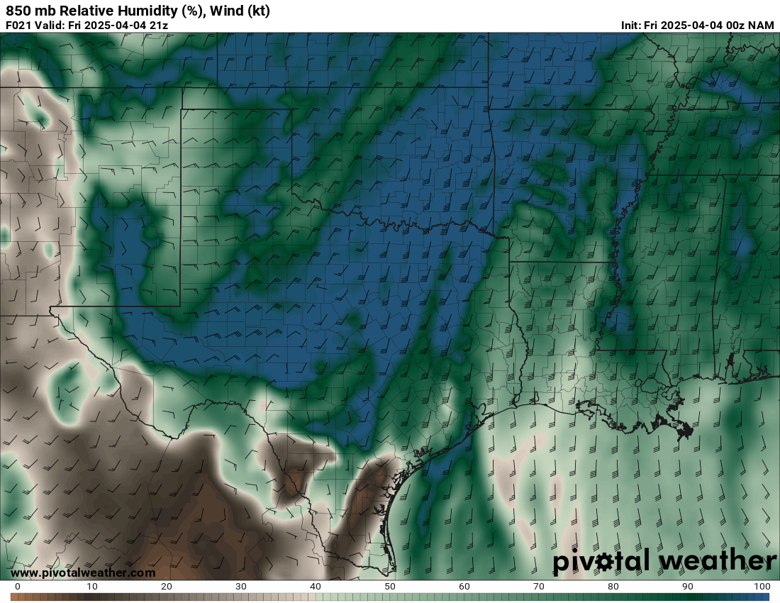
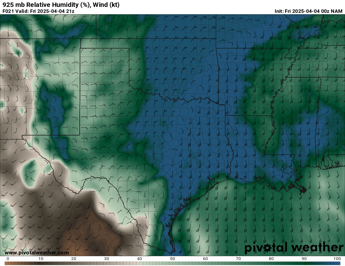
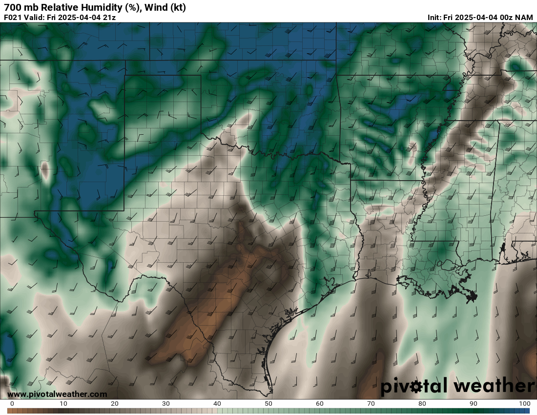
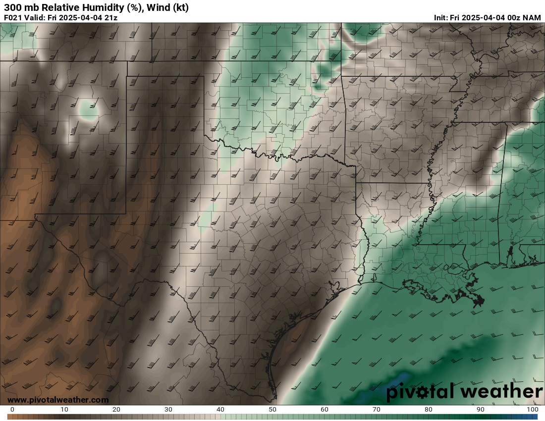
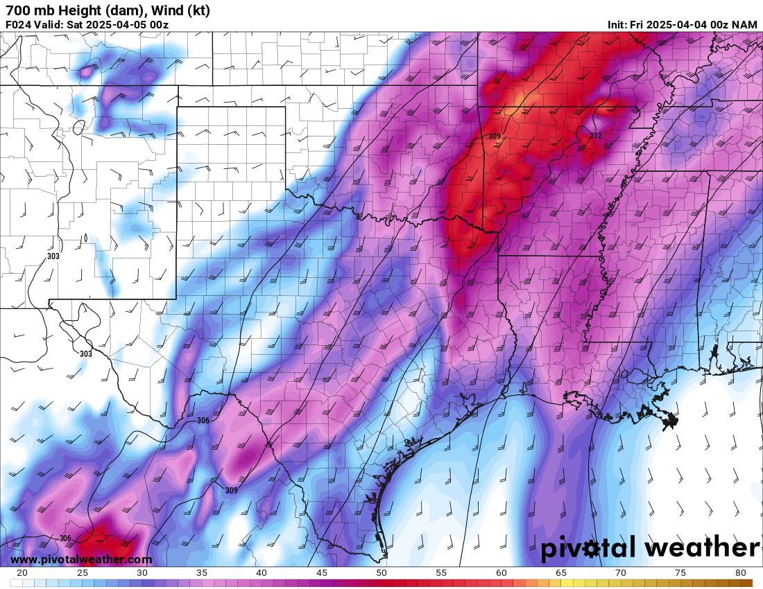
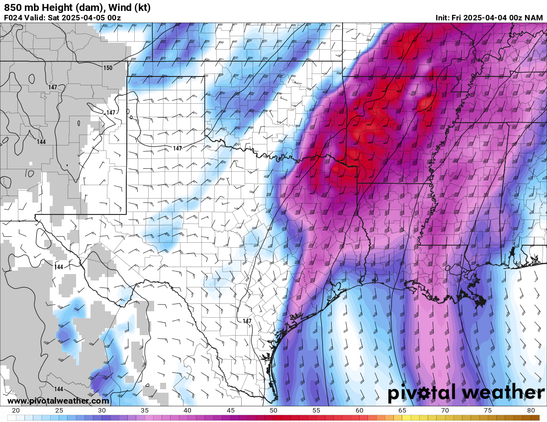
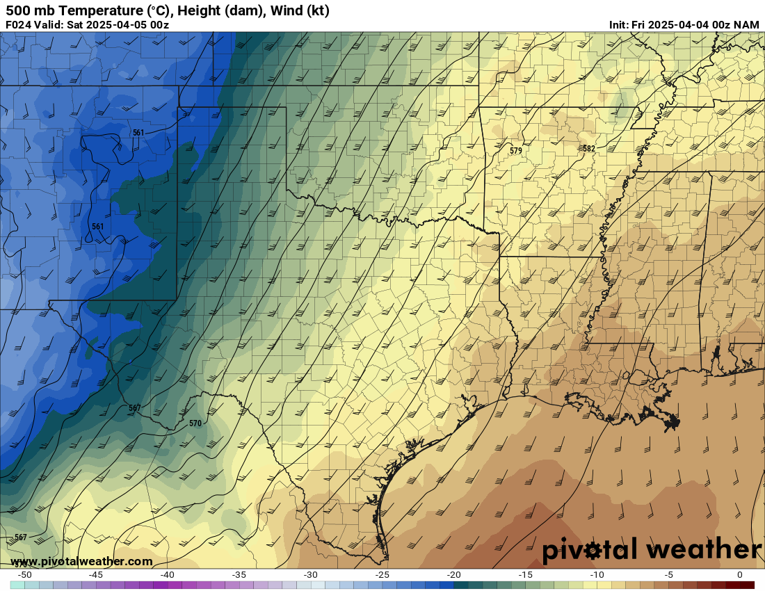
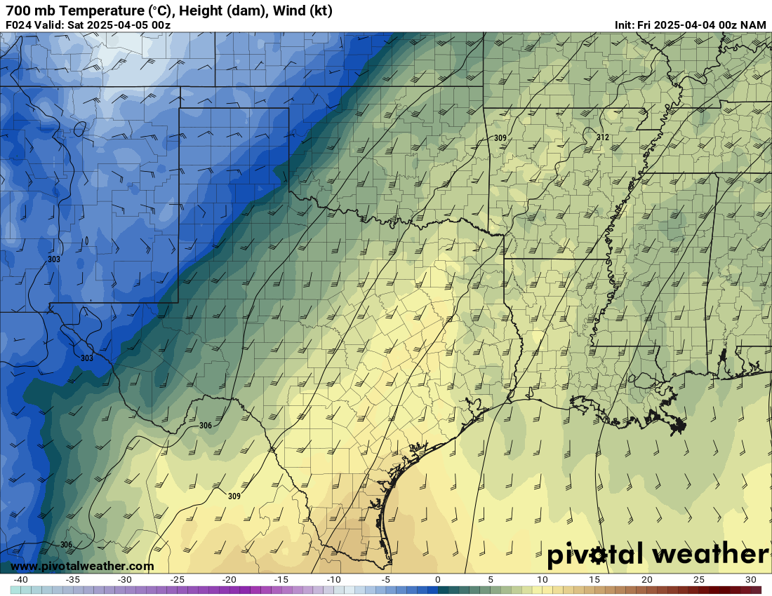
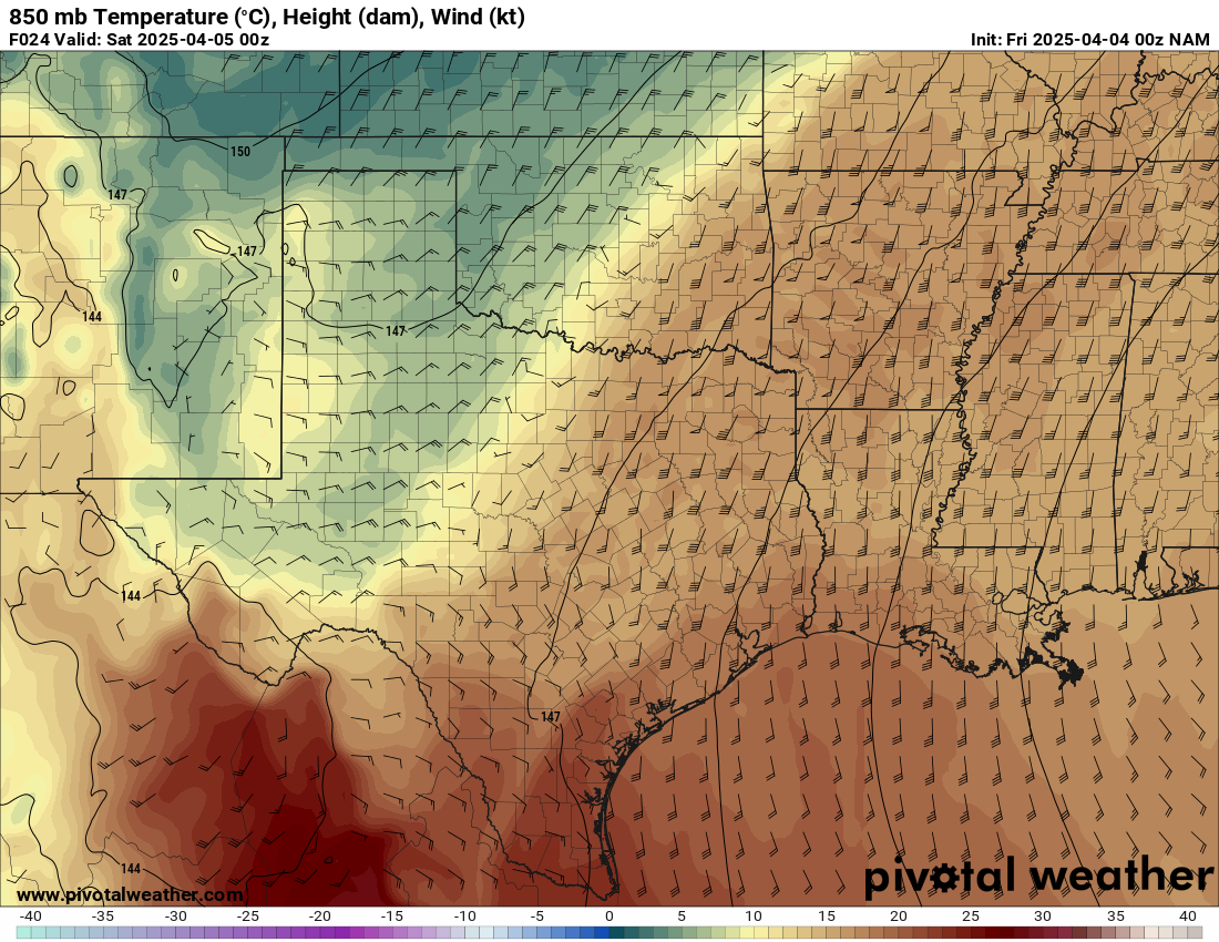
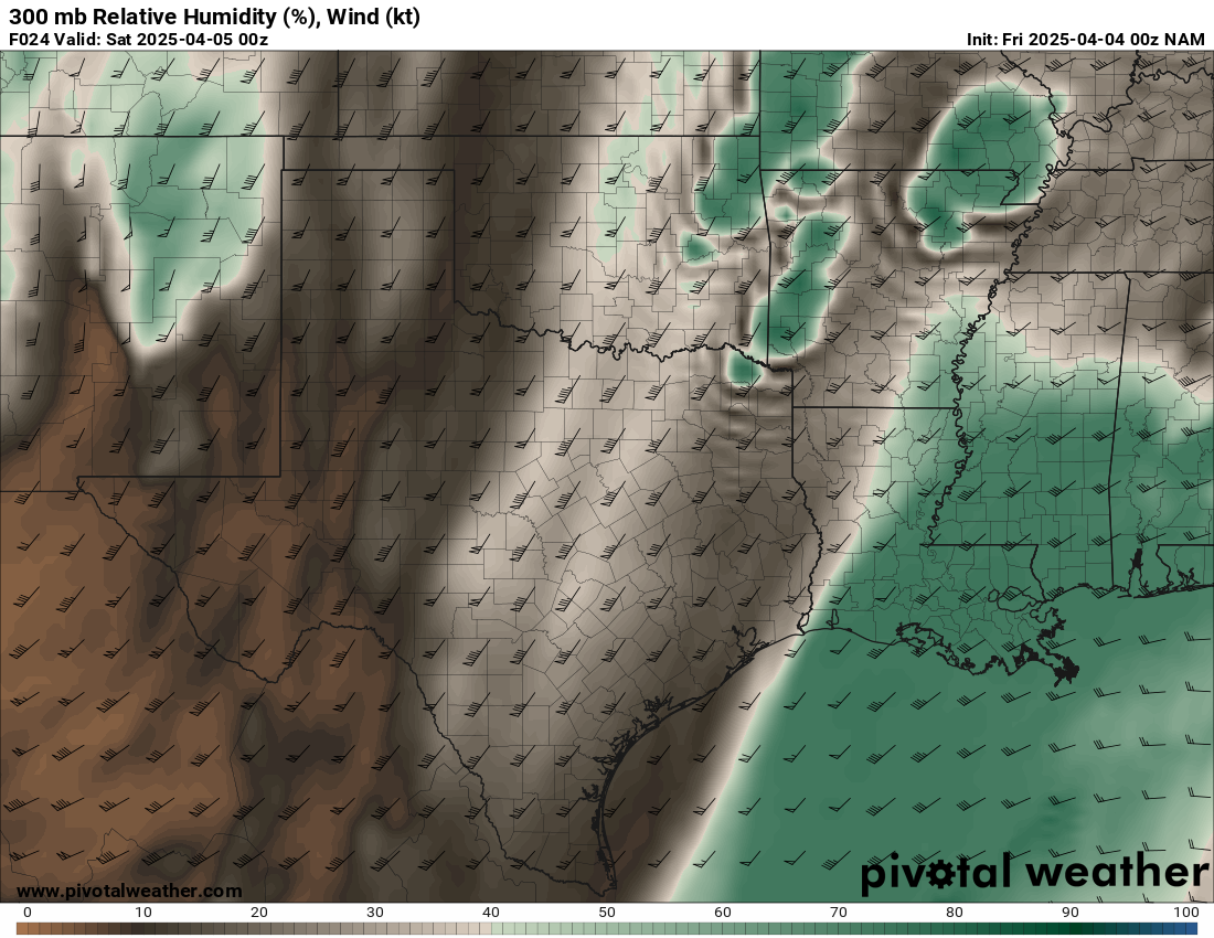
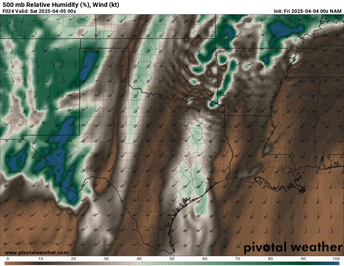
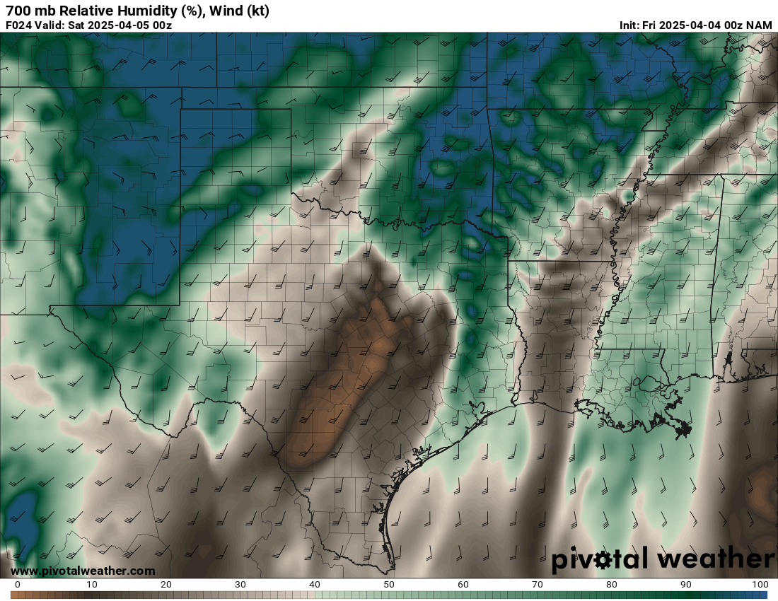
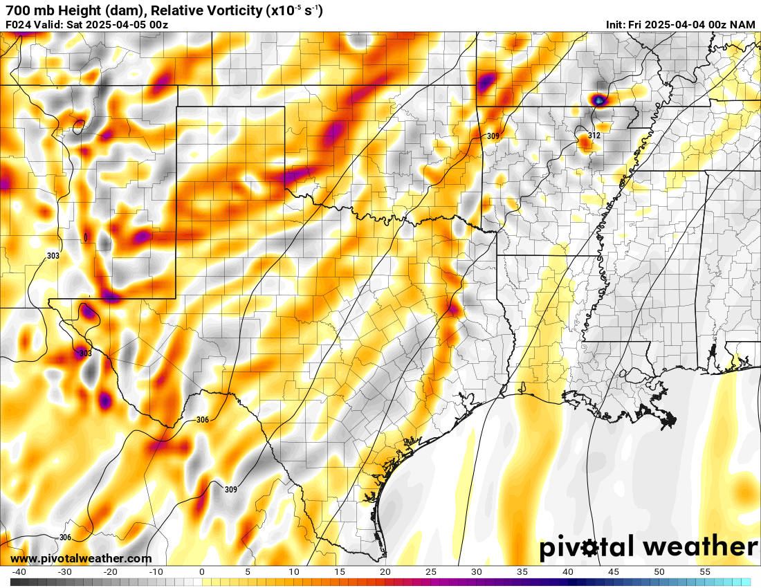
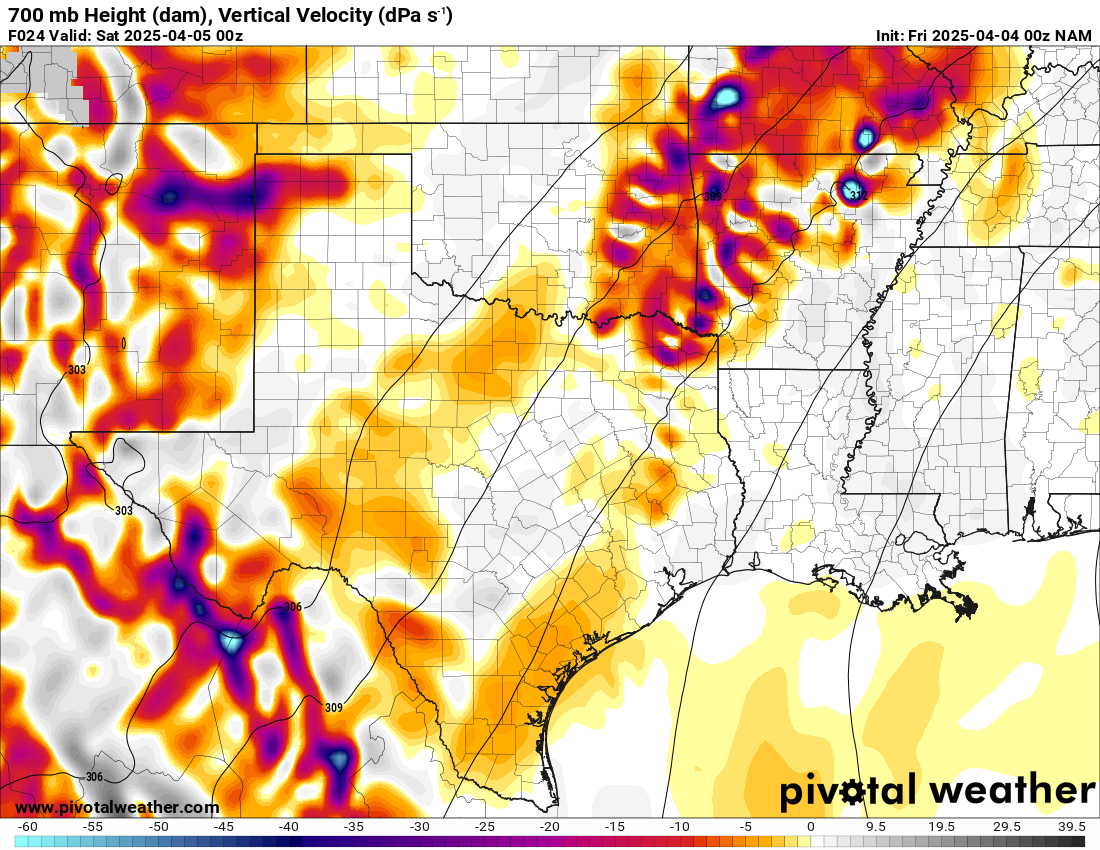
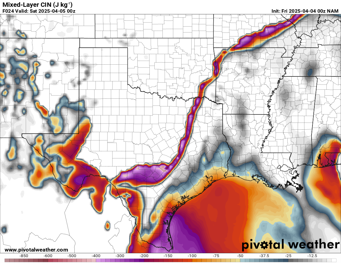
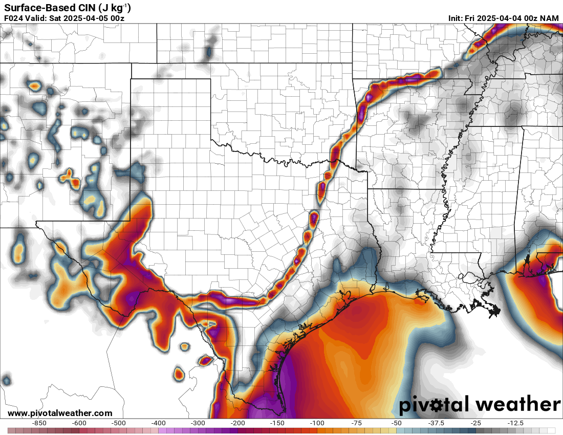
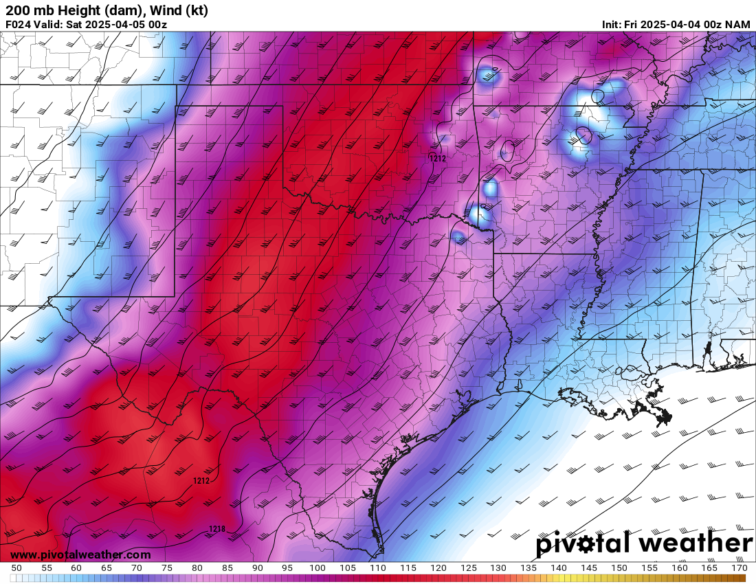
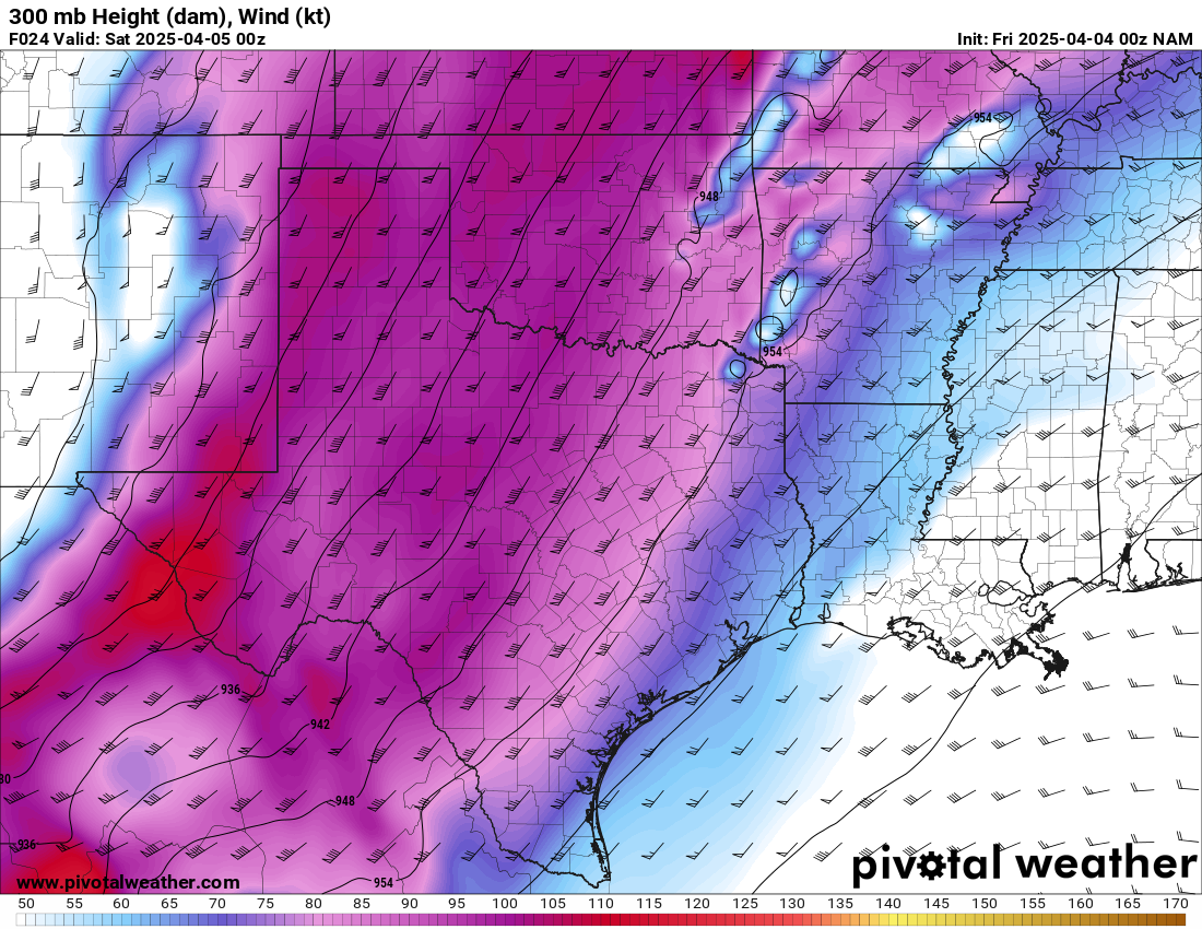
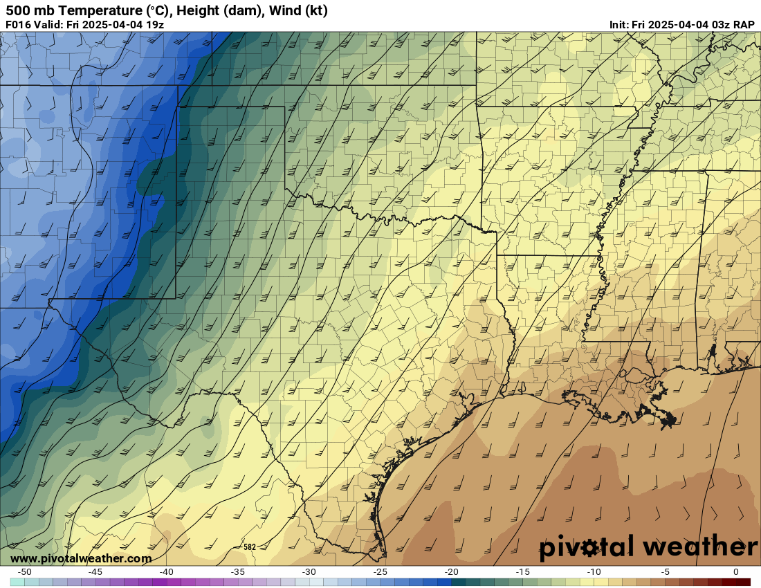
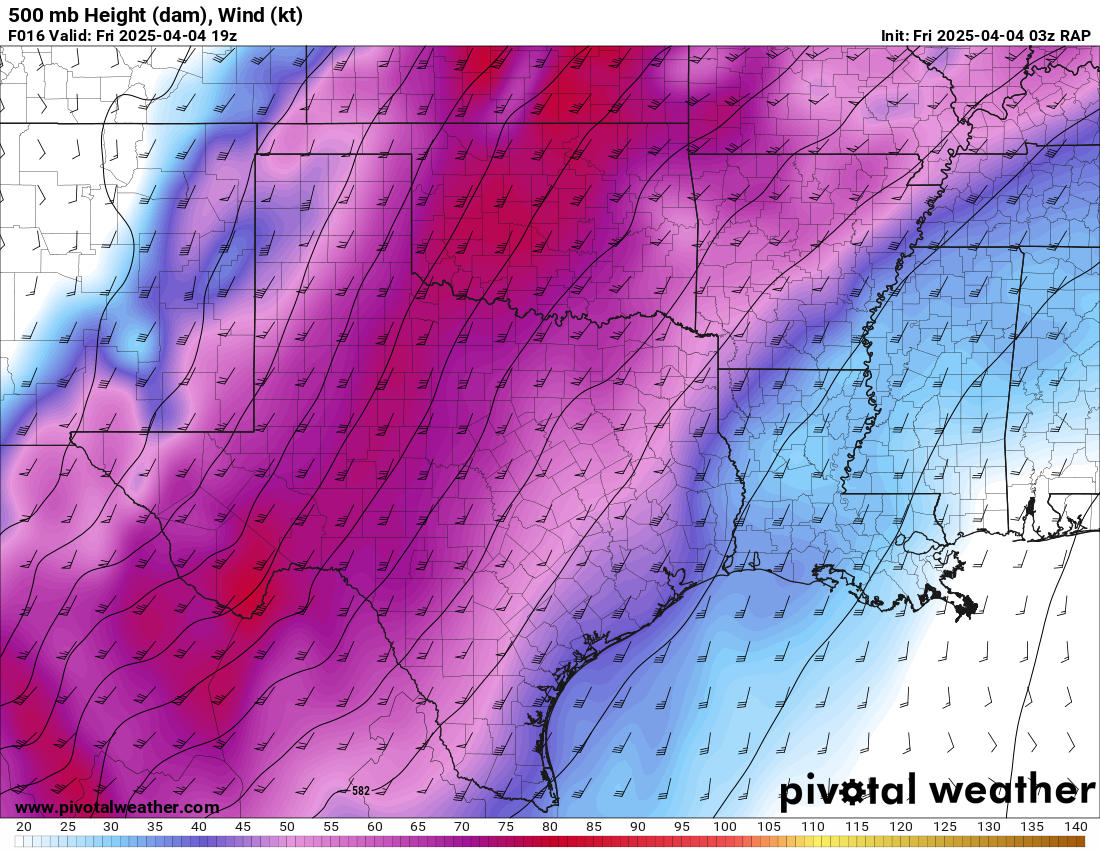
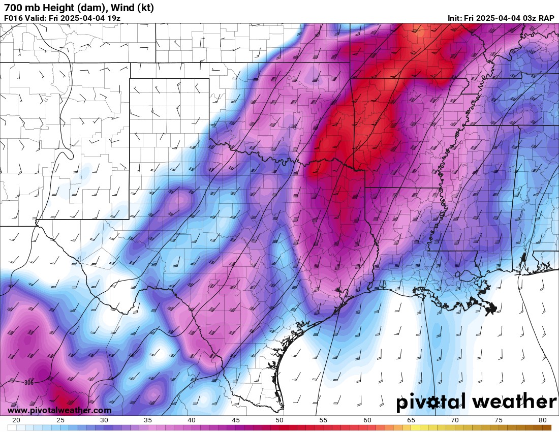
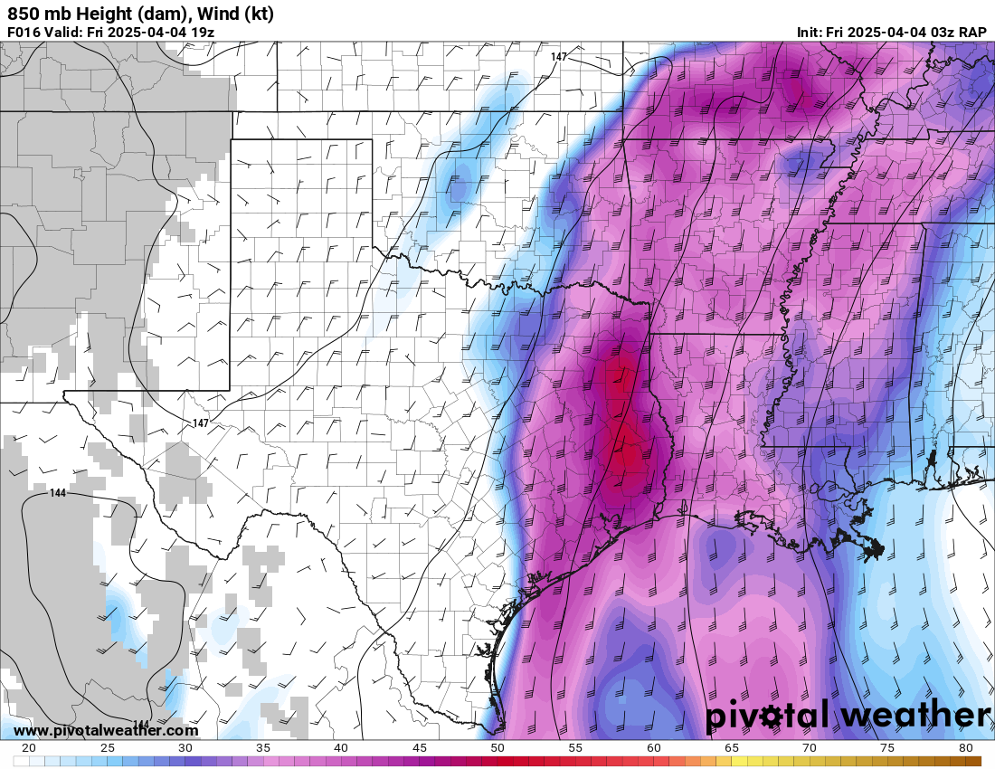
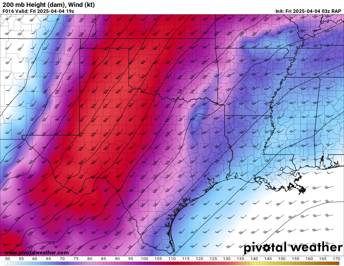
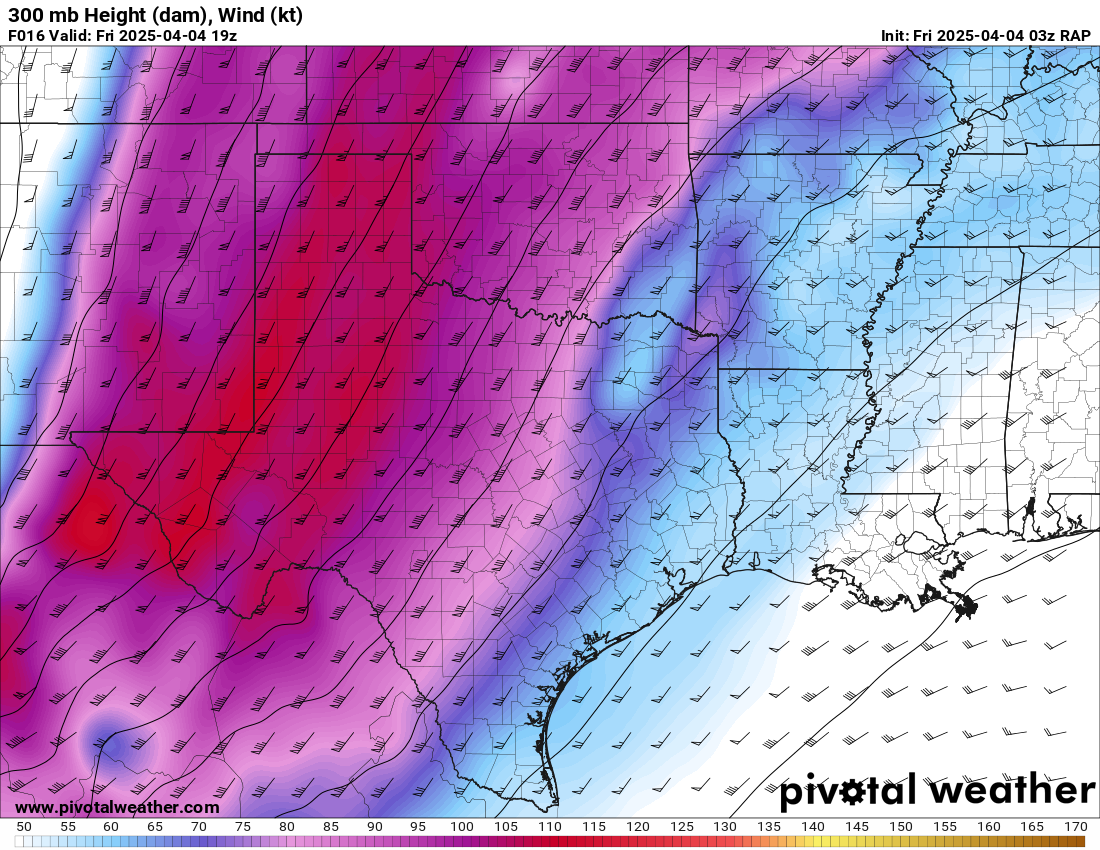
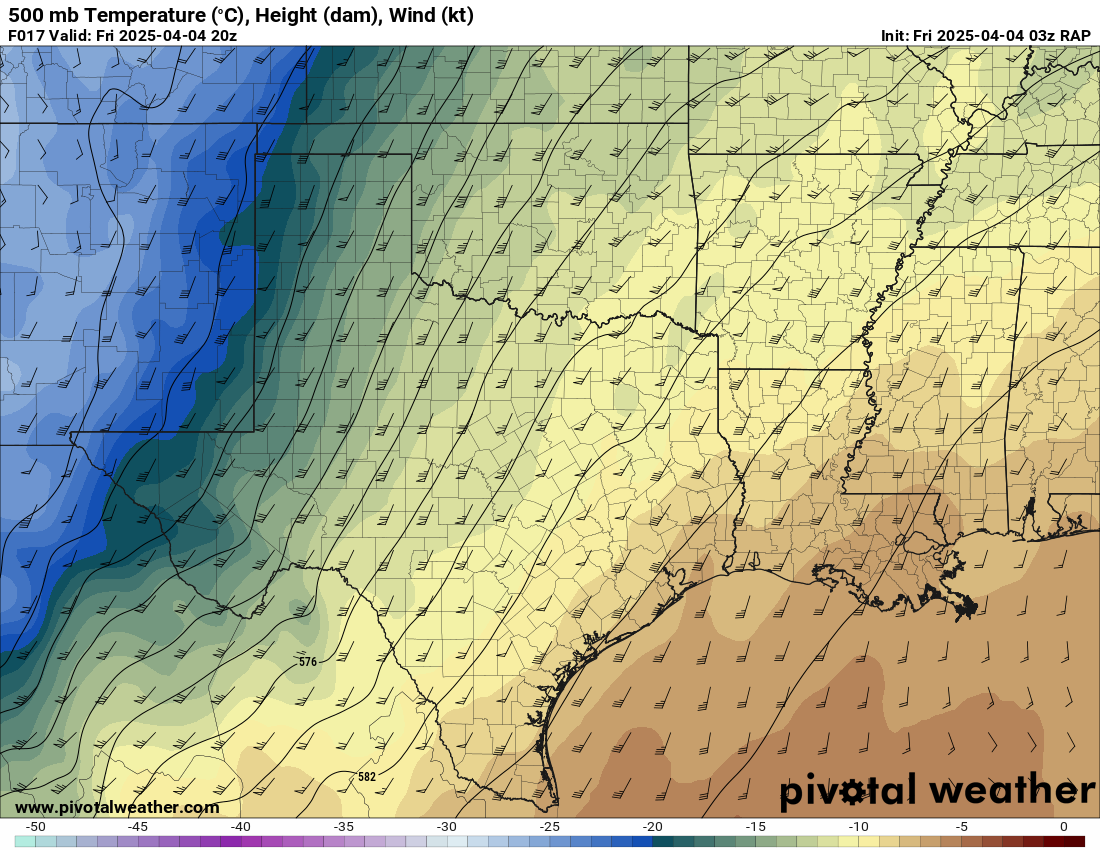
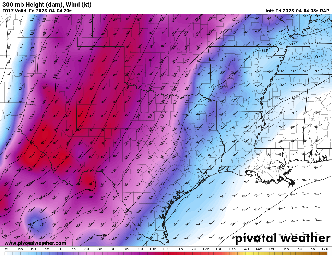
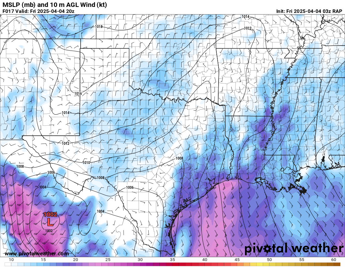
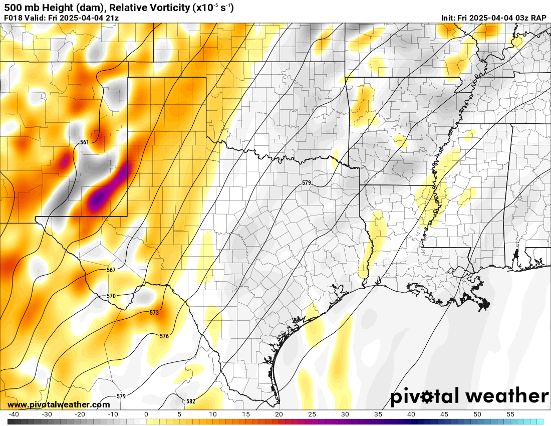
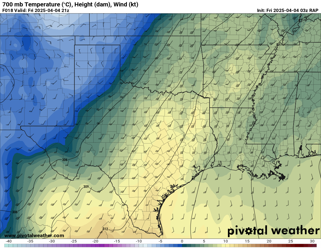
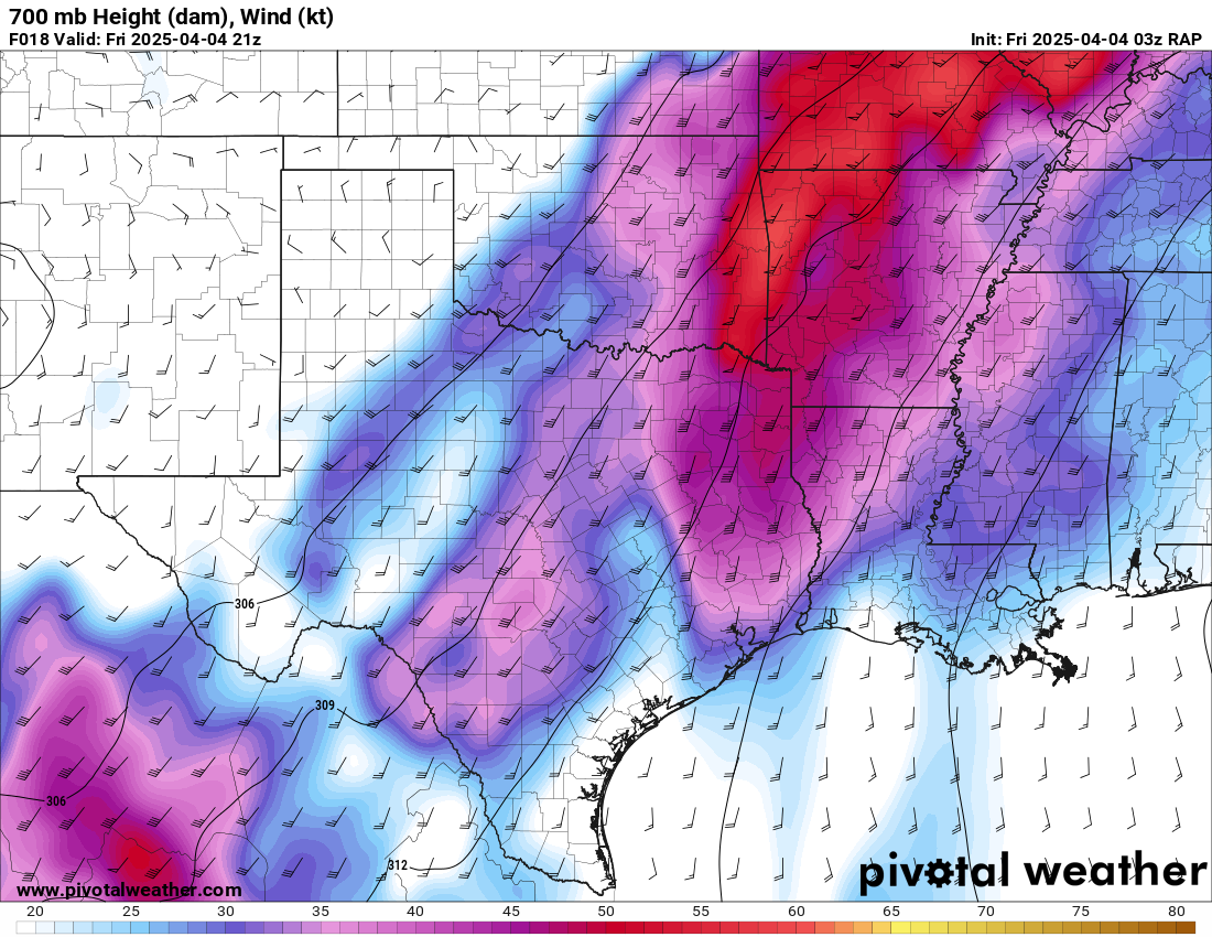
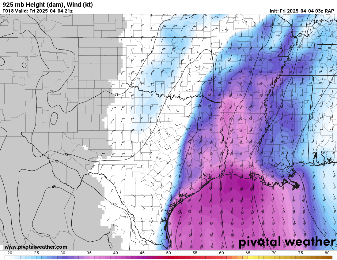
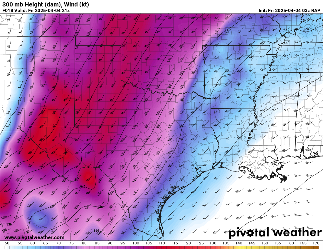
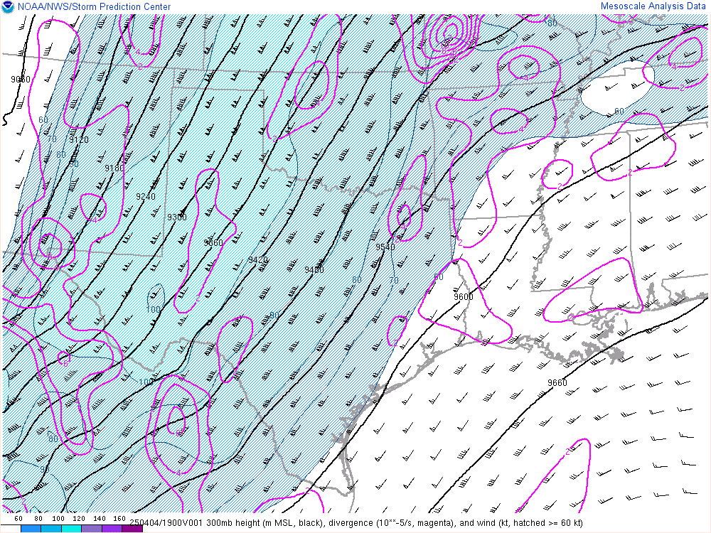
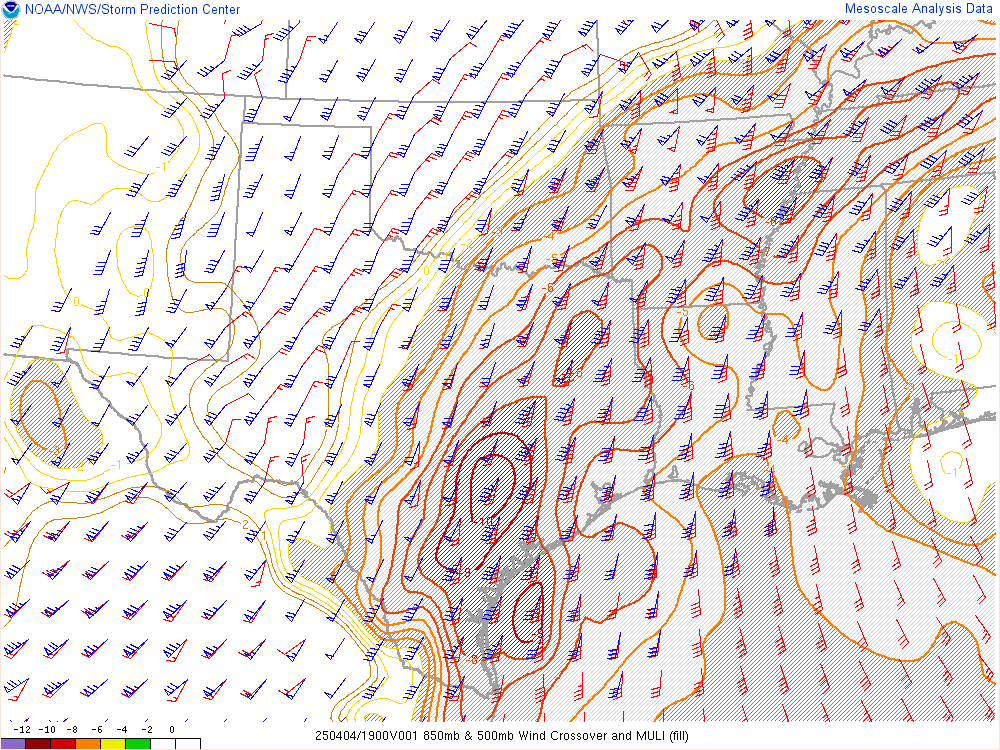
After looking through the models on Thursday evening, the game plan would be to get into the open warm sector in southeast Oklahoma or Northeast Texas. Placement of the boundary was important and monitoring satellite trends would be important. Moisture would be too plentiful as well, leading to HP modes with a possible veer-backing around 700mb. The system however was strong and would be driven by a strong 300mb jet overhead.
12Z Morning Soundings
Departure
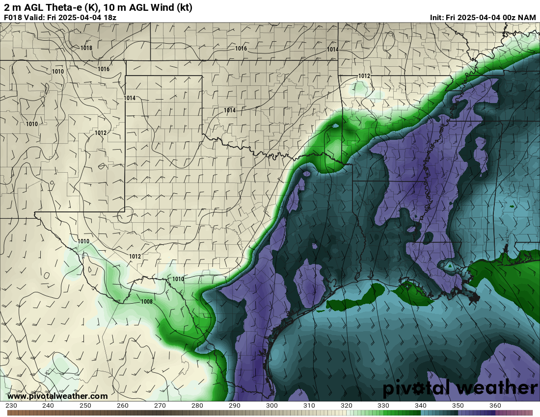
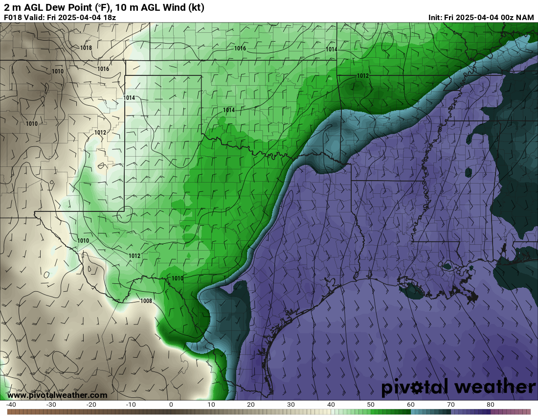
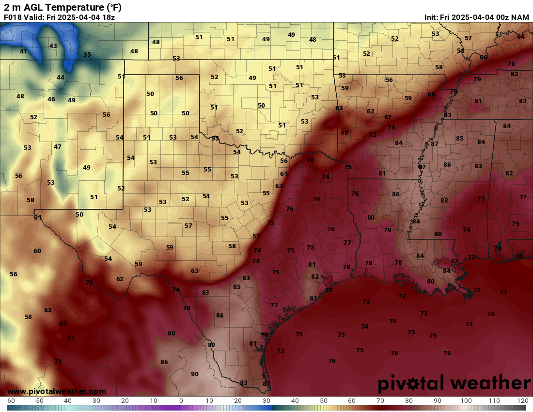
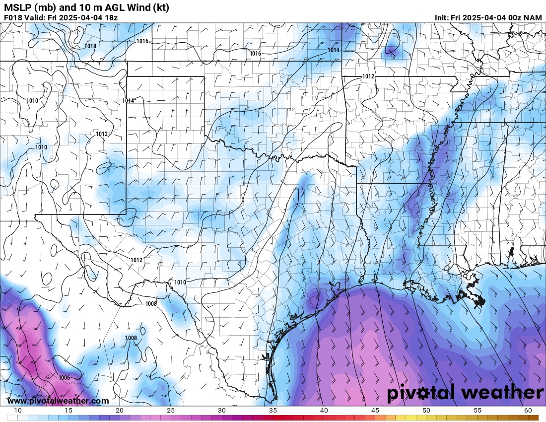
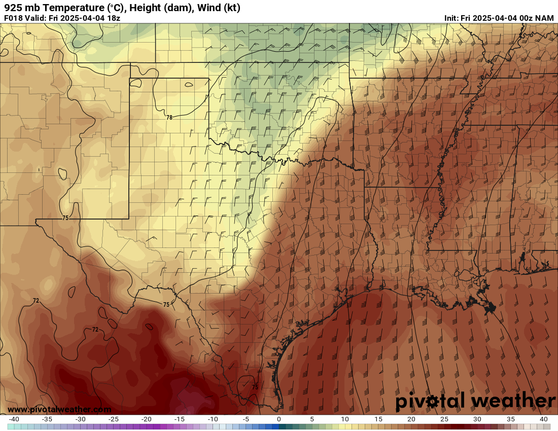
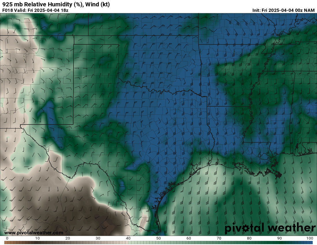
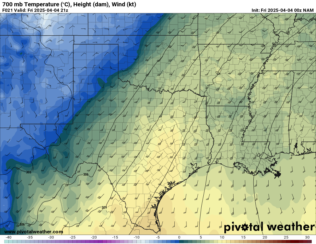
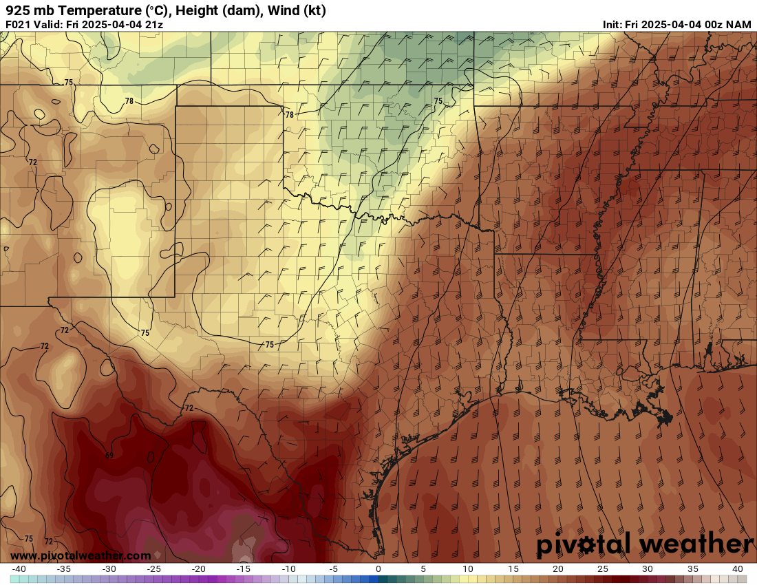
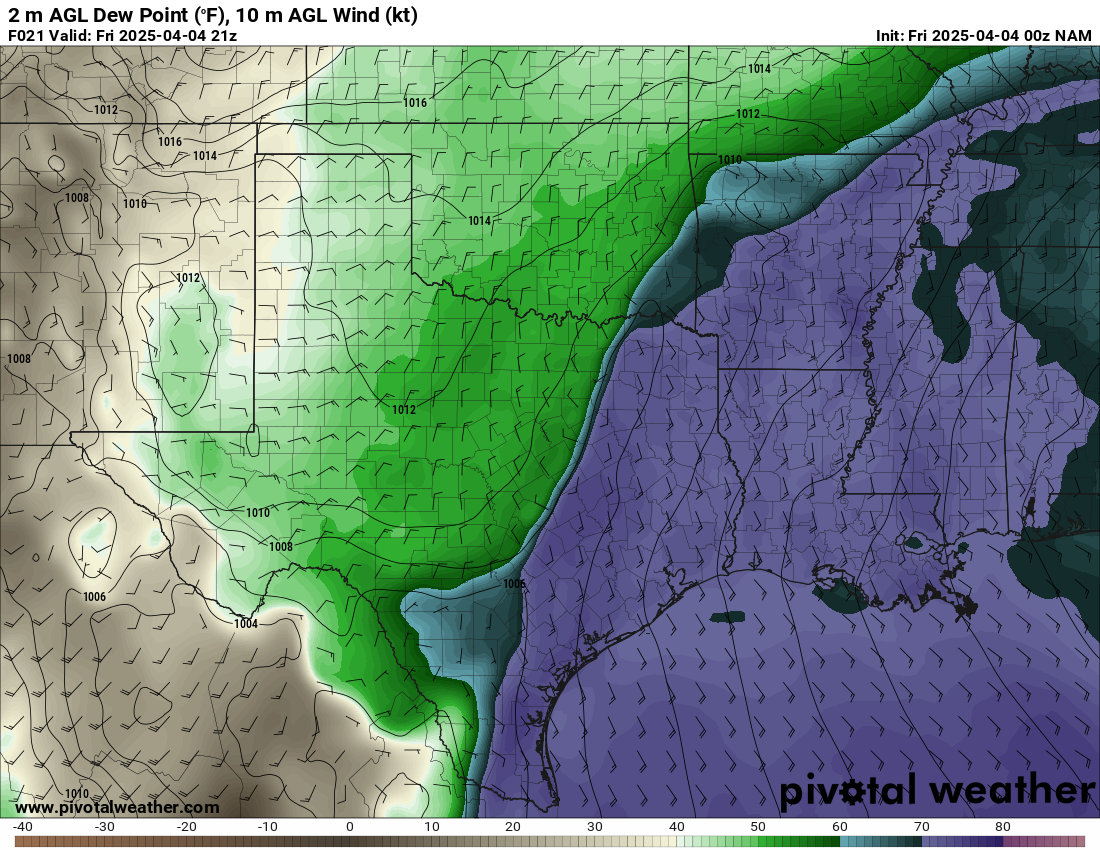
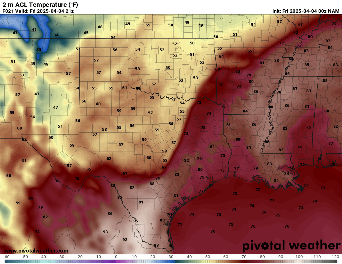
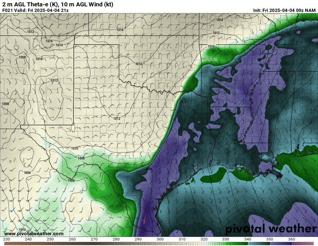
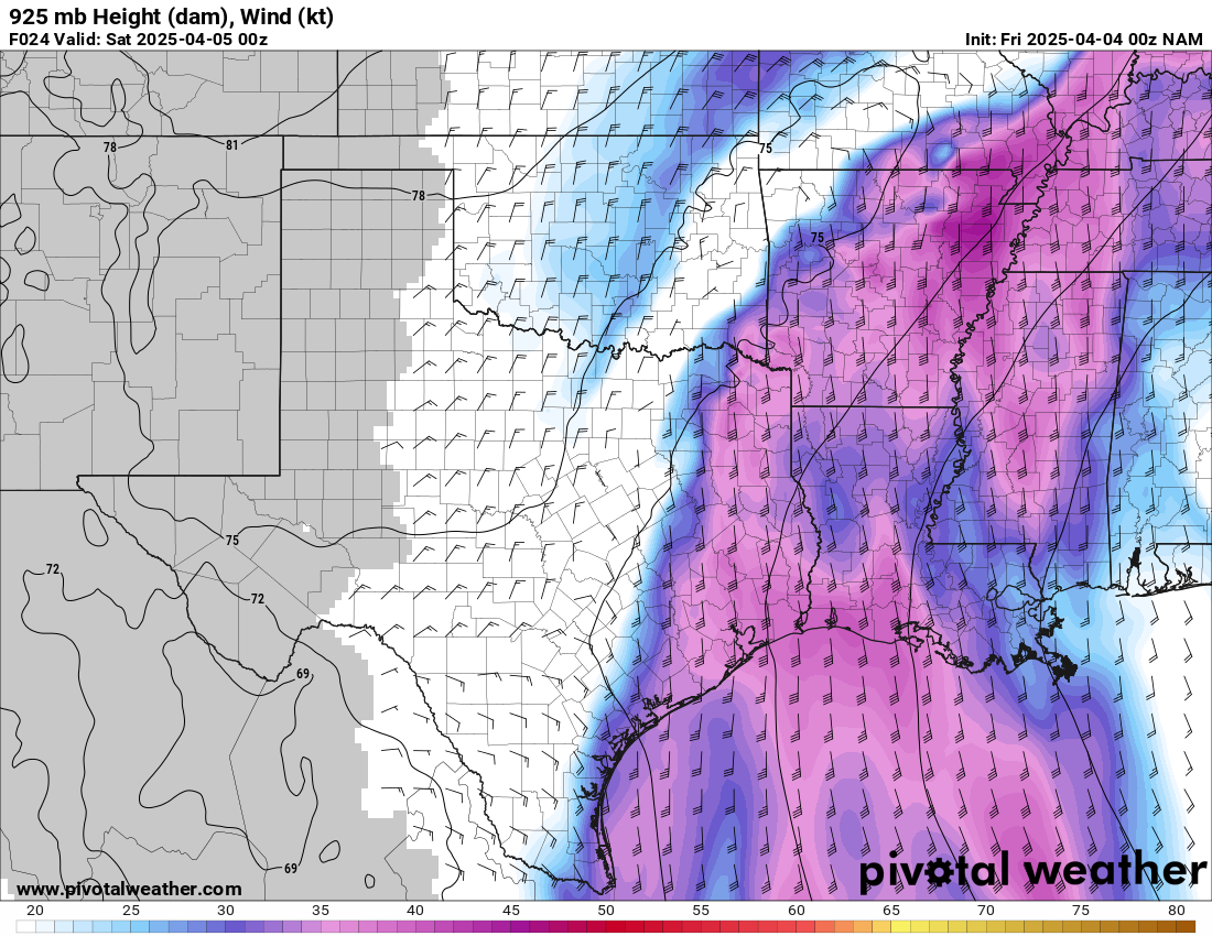
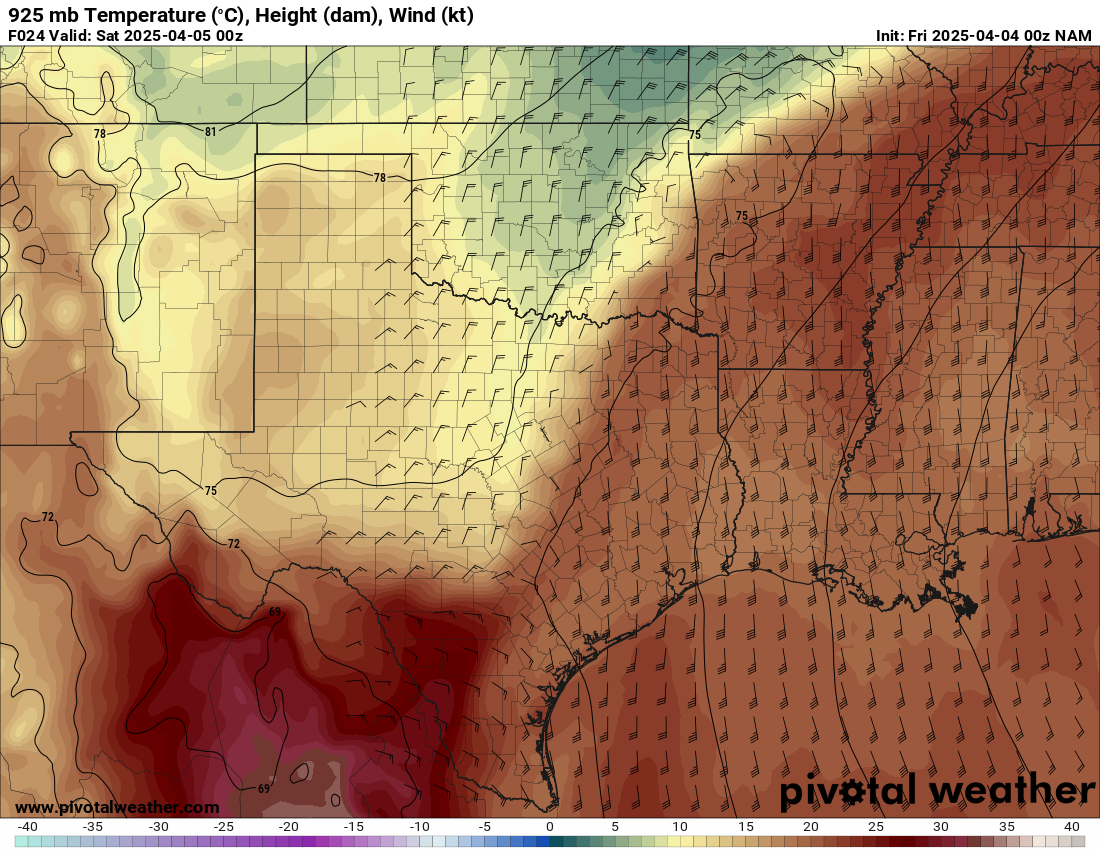
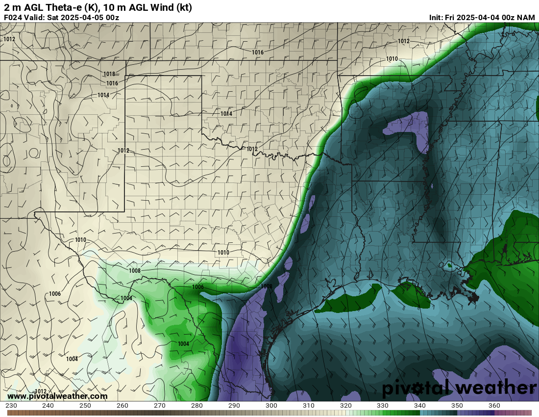
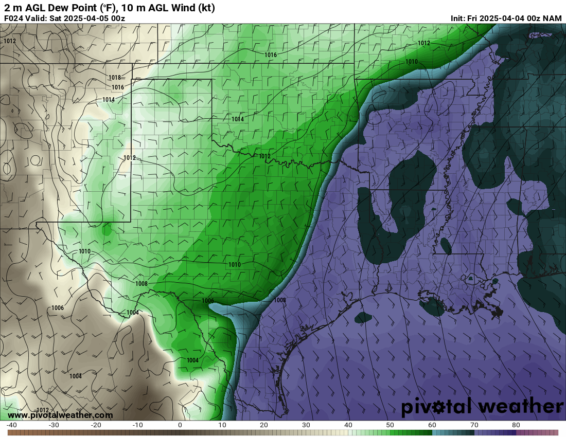
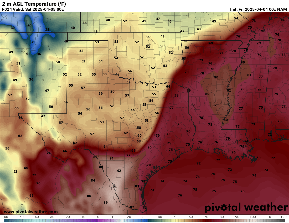
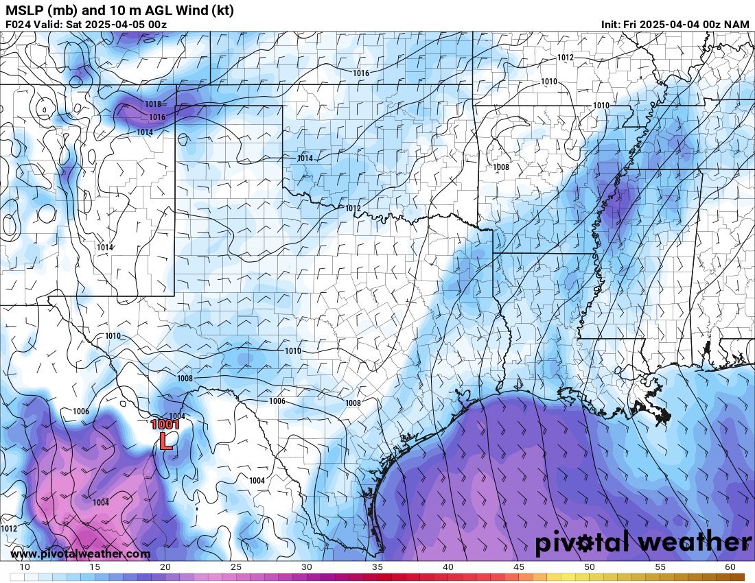
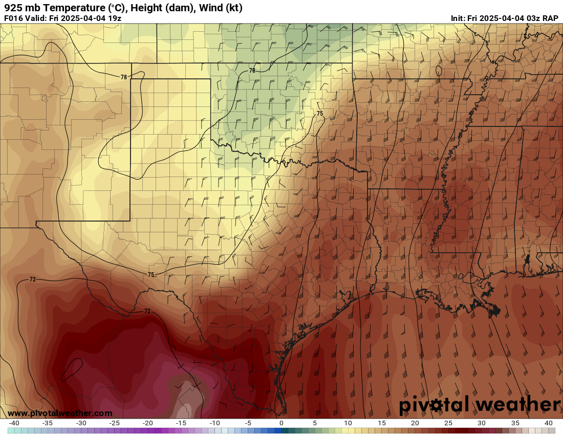
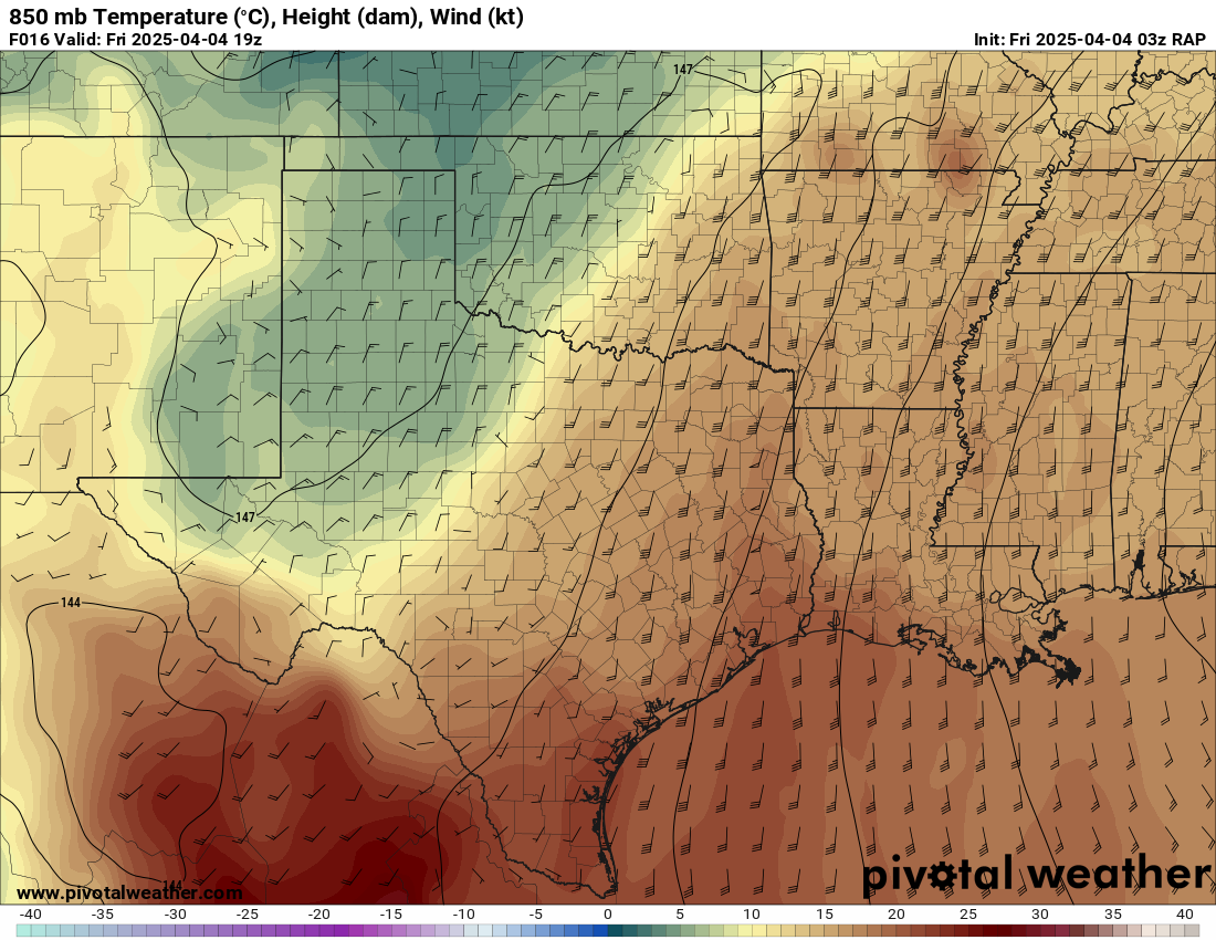
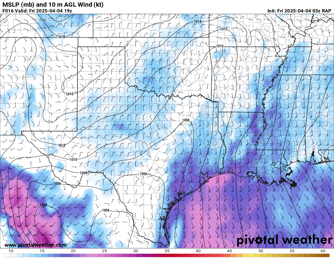
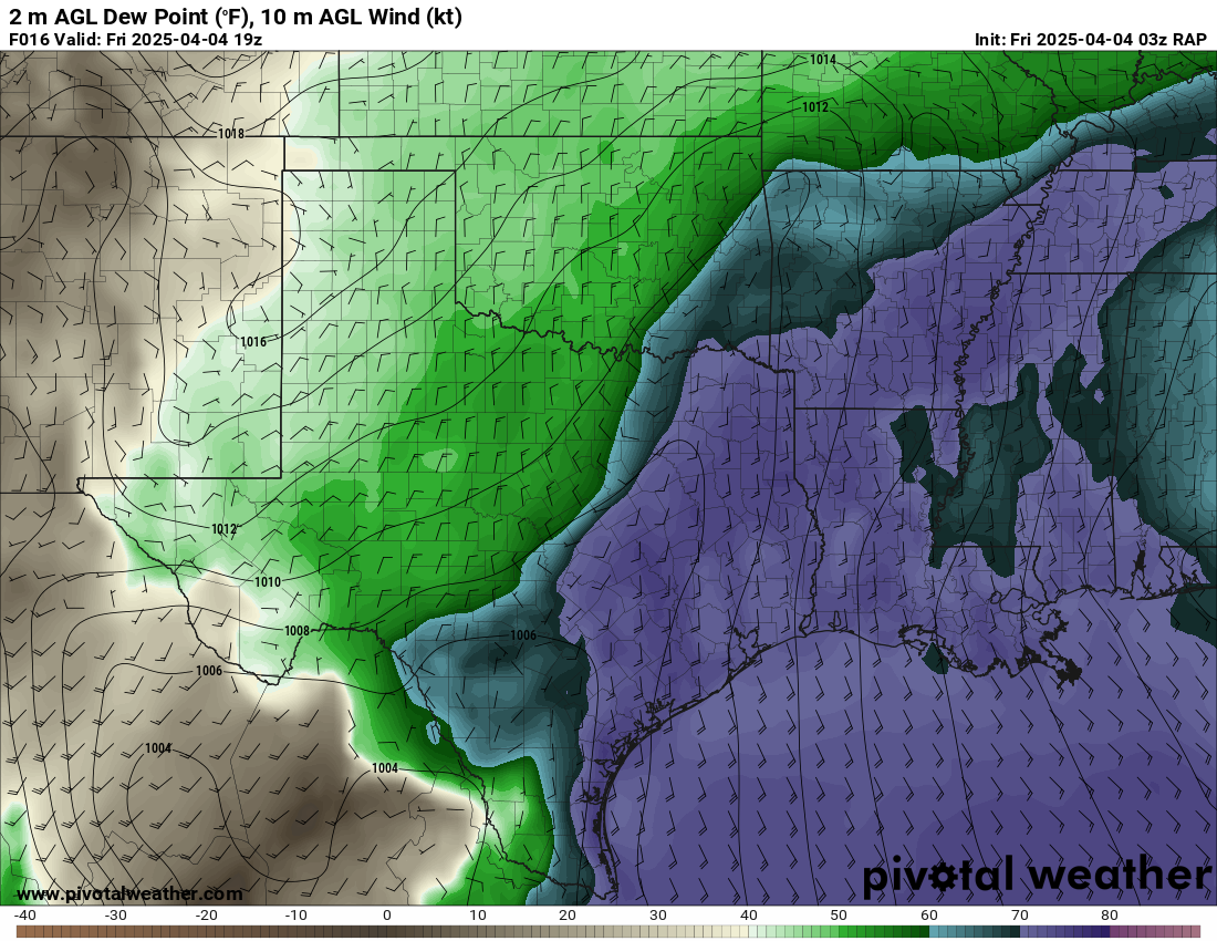
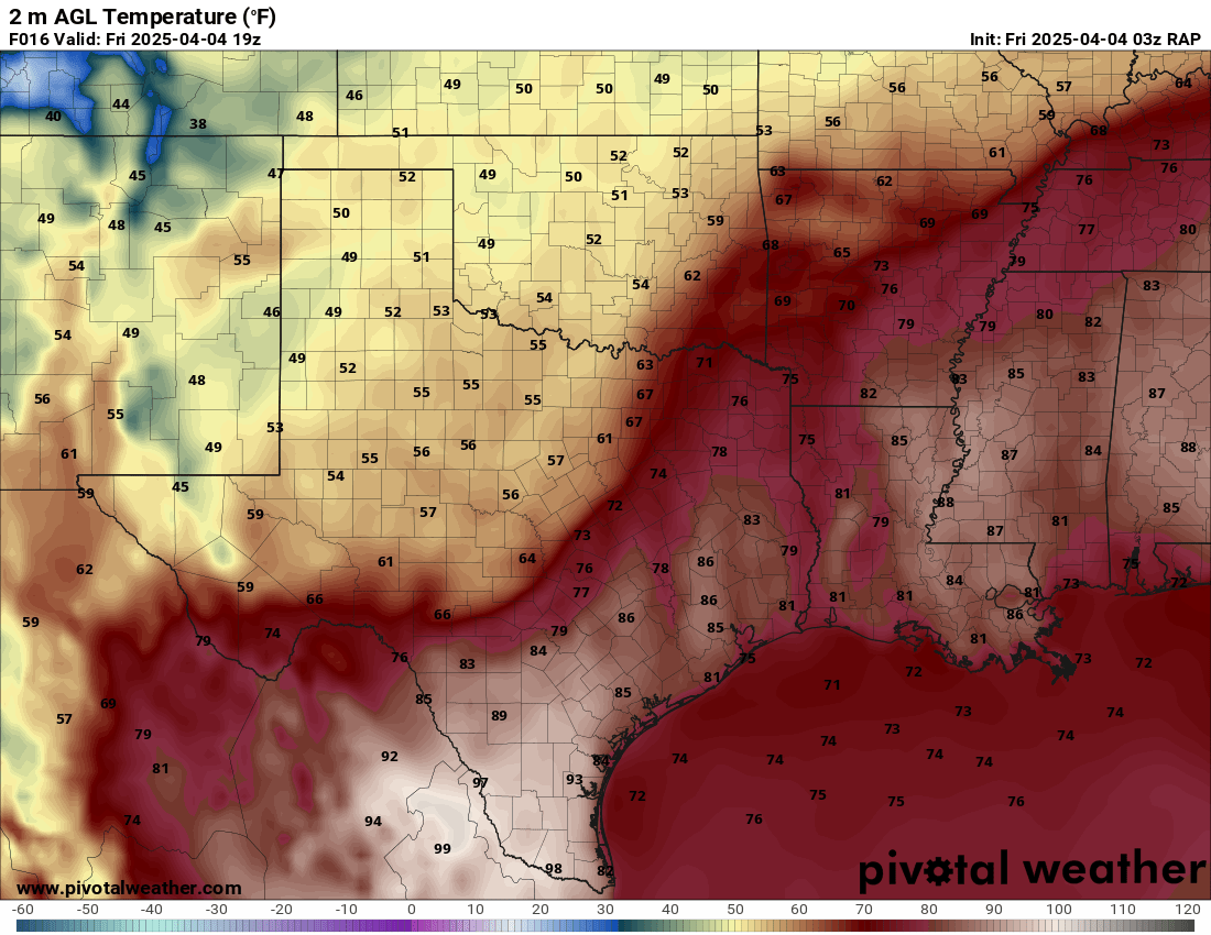
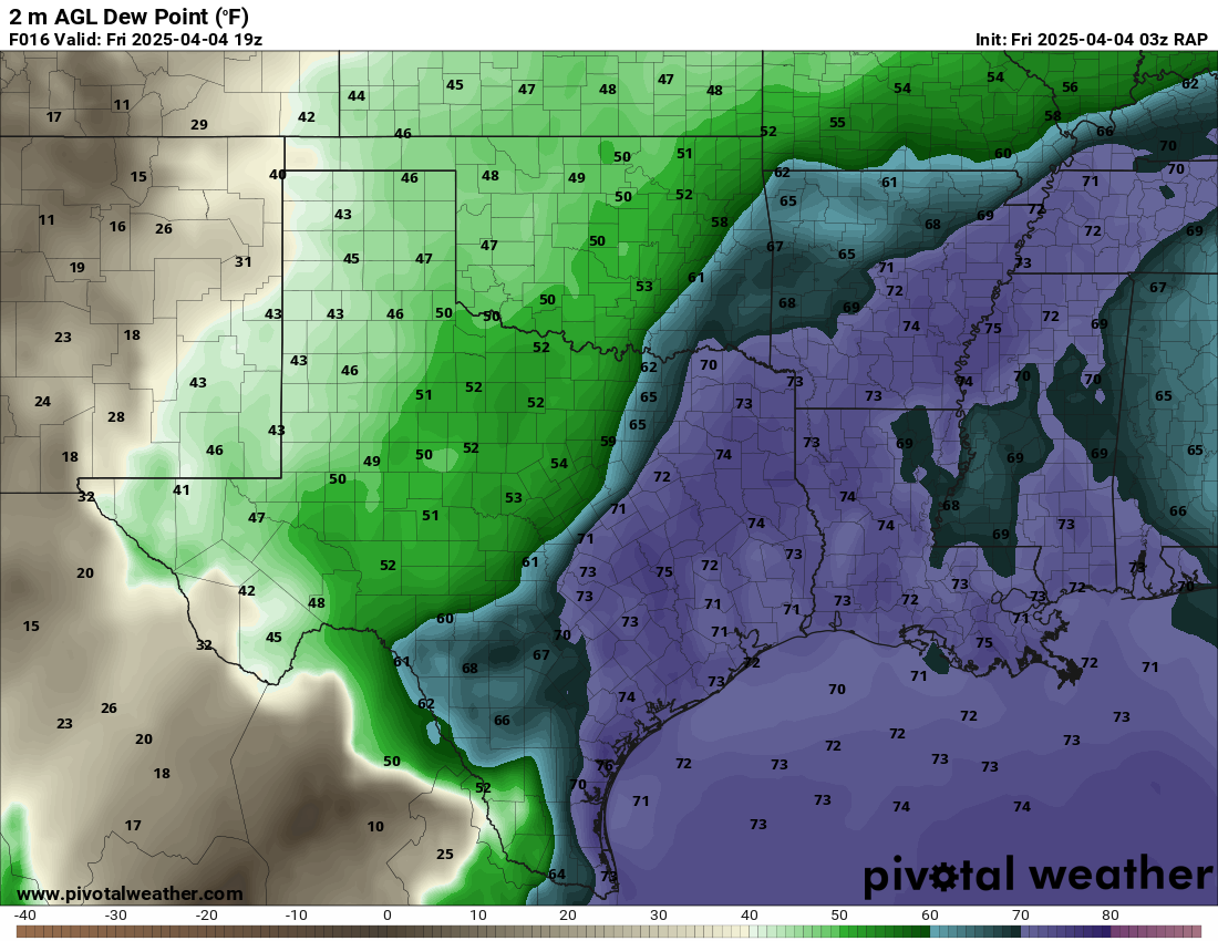
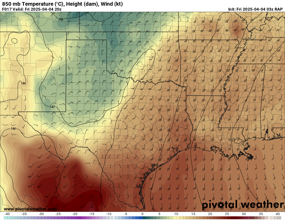
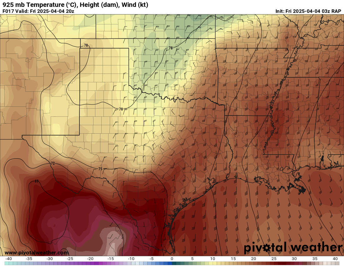
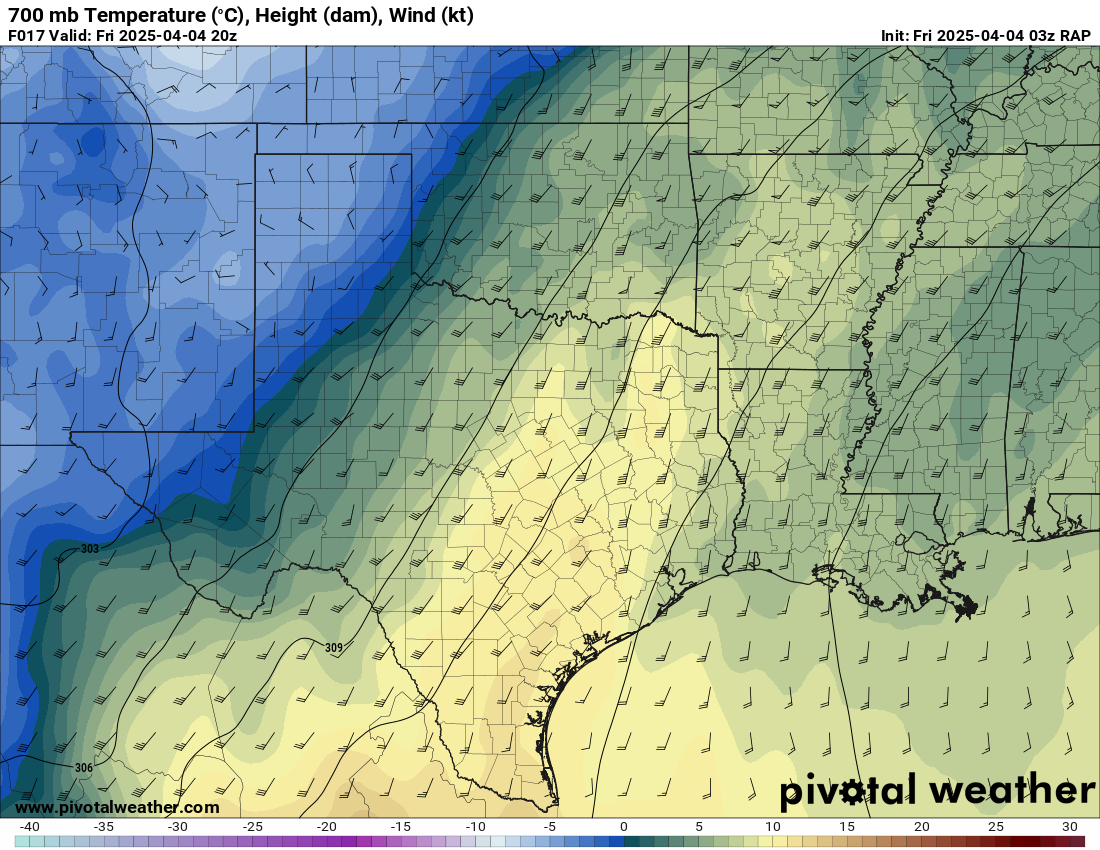
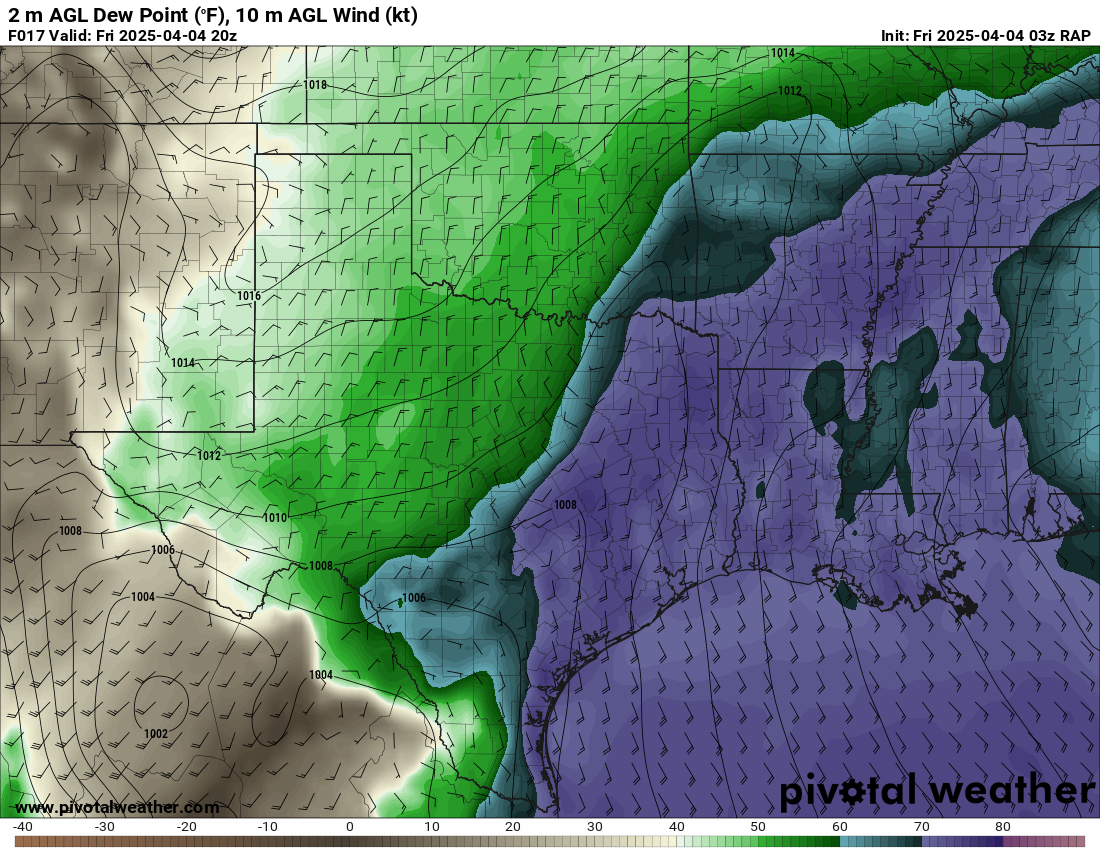
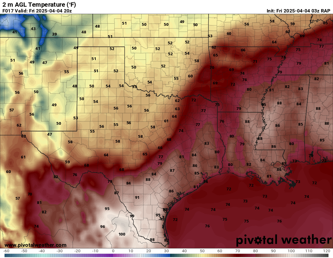
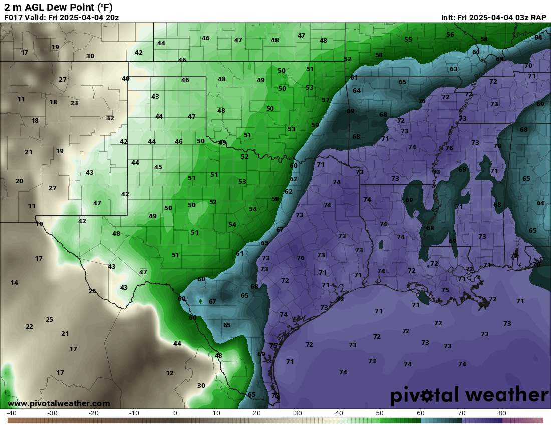
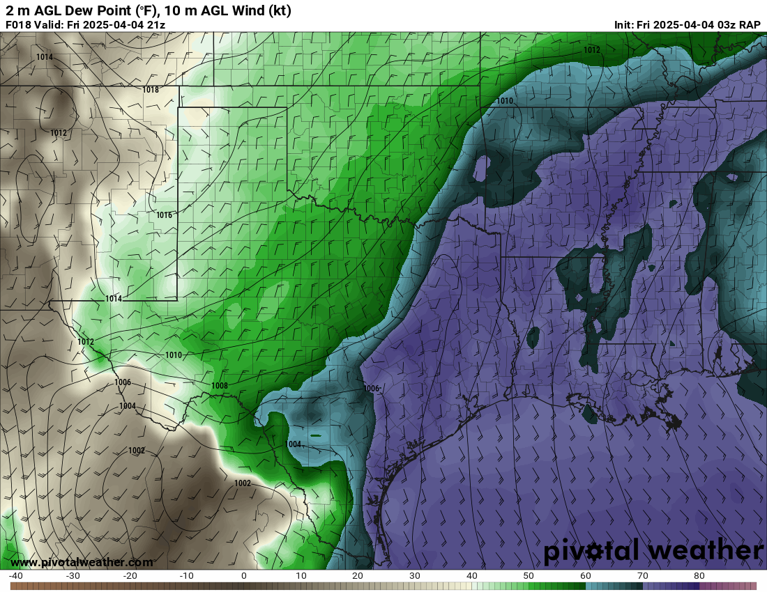
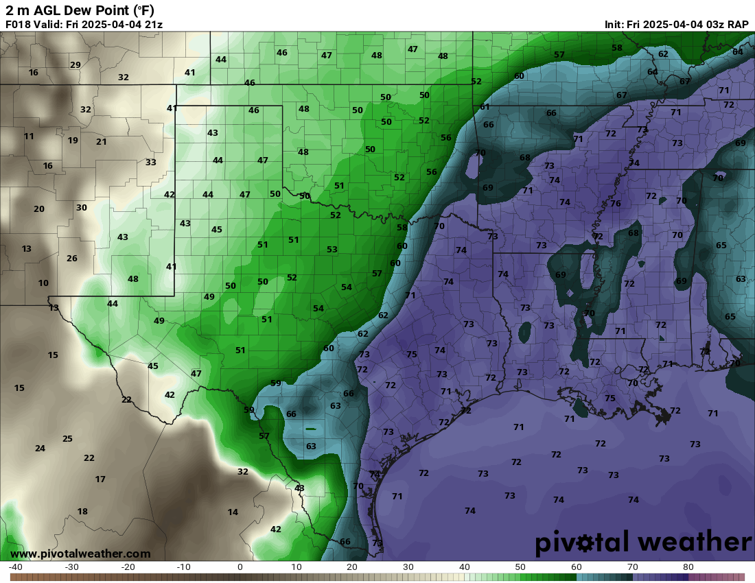
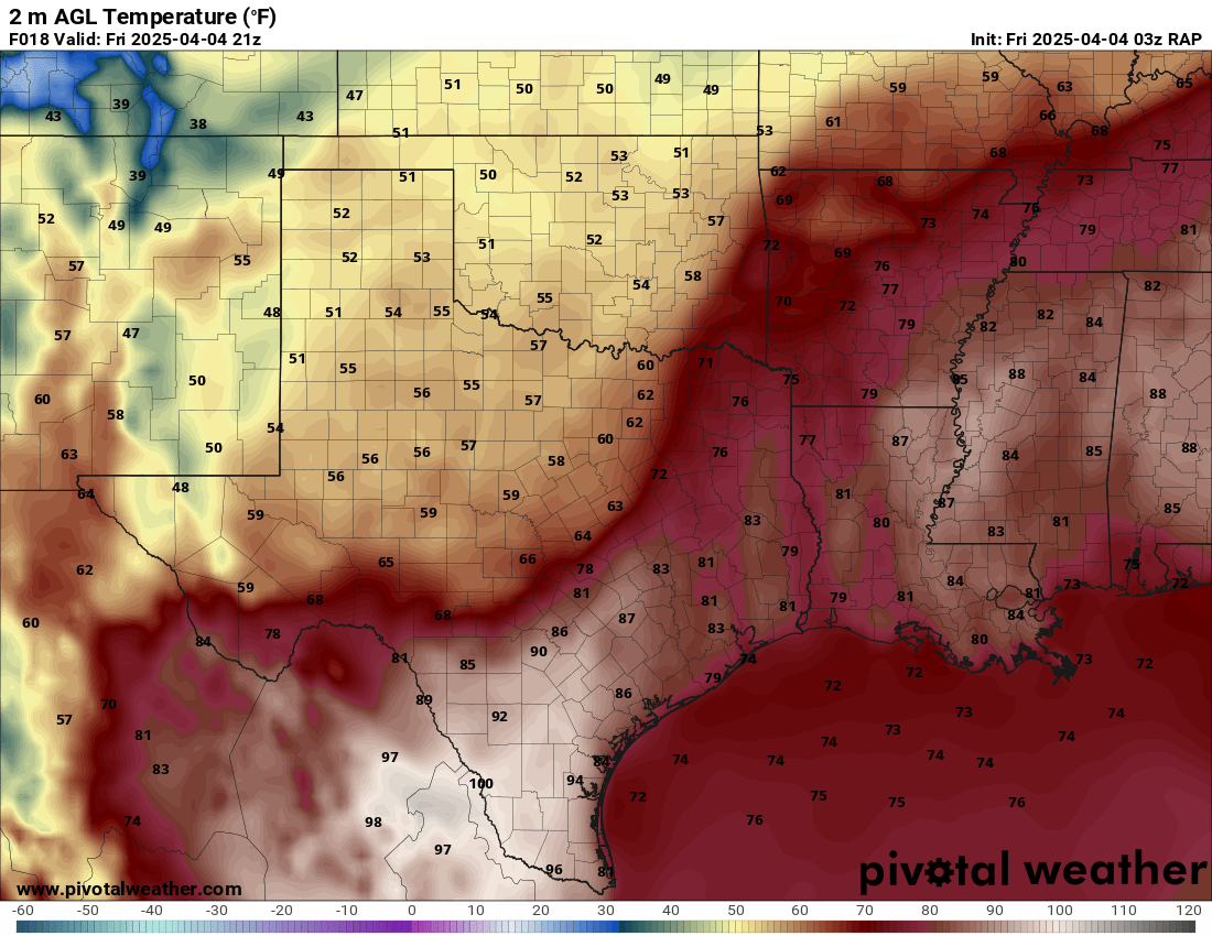
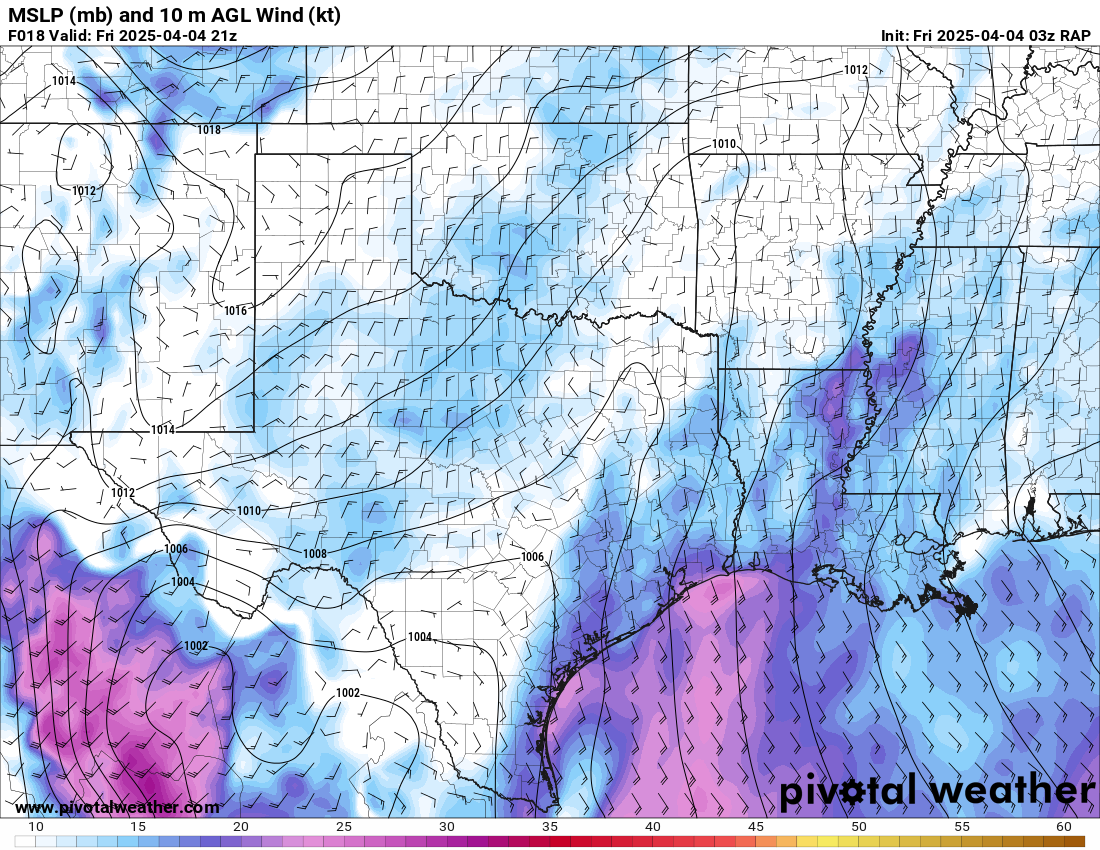
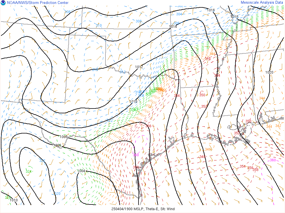
We departed Norman around 9am and took off down I-35 with a trip across on US70. The traffic on 70 was semi annoying, but I was worried about needing to be north and west of Texarkana. As we headed east on US70, I really dug into the weather data. The front placement was evident near a line from Idabel to Paris and southwest towards Sulphur Springs and Corsicana. On one side, we were seeing very cold 50 degree temperatures and on the moist side we were seeing 70s with dewpoints right around 70ºF.
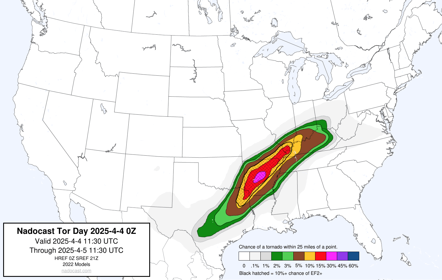
Nadocast
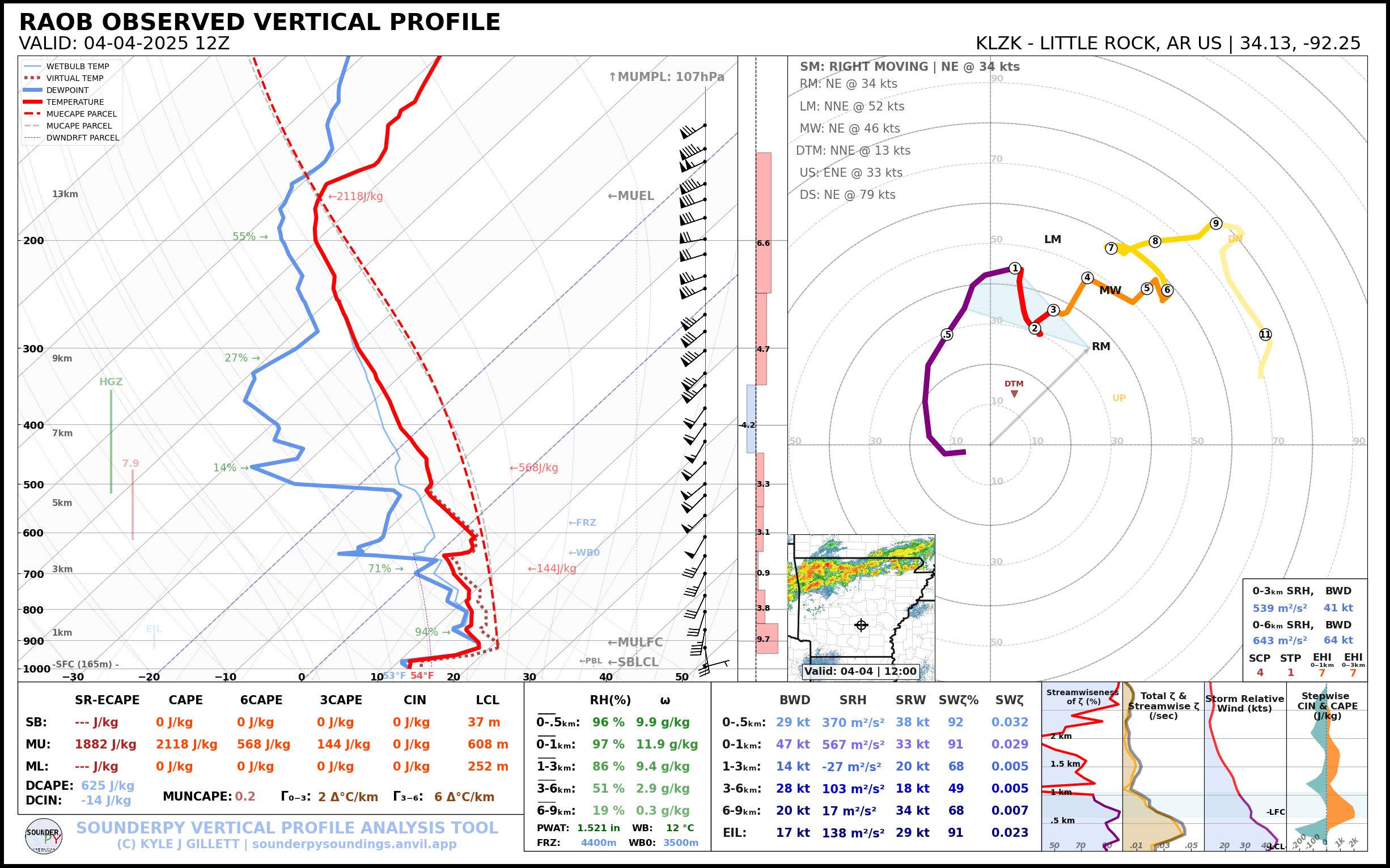
The Nadocast did not really catch onto the threat in Texas on most of the runs. It was highlighting the Little Rock metro area more heavily.
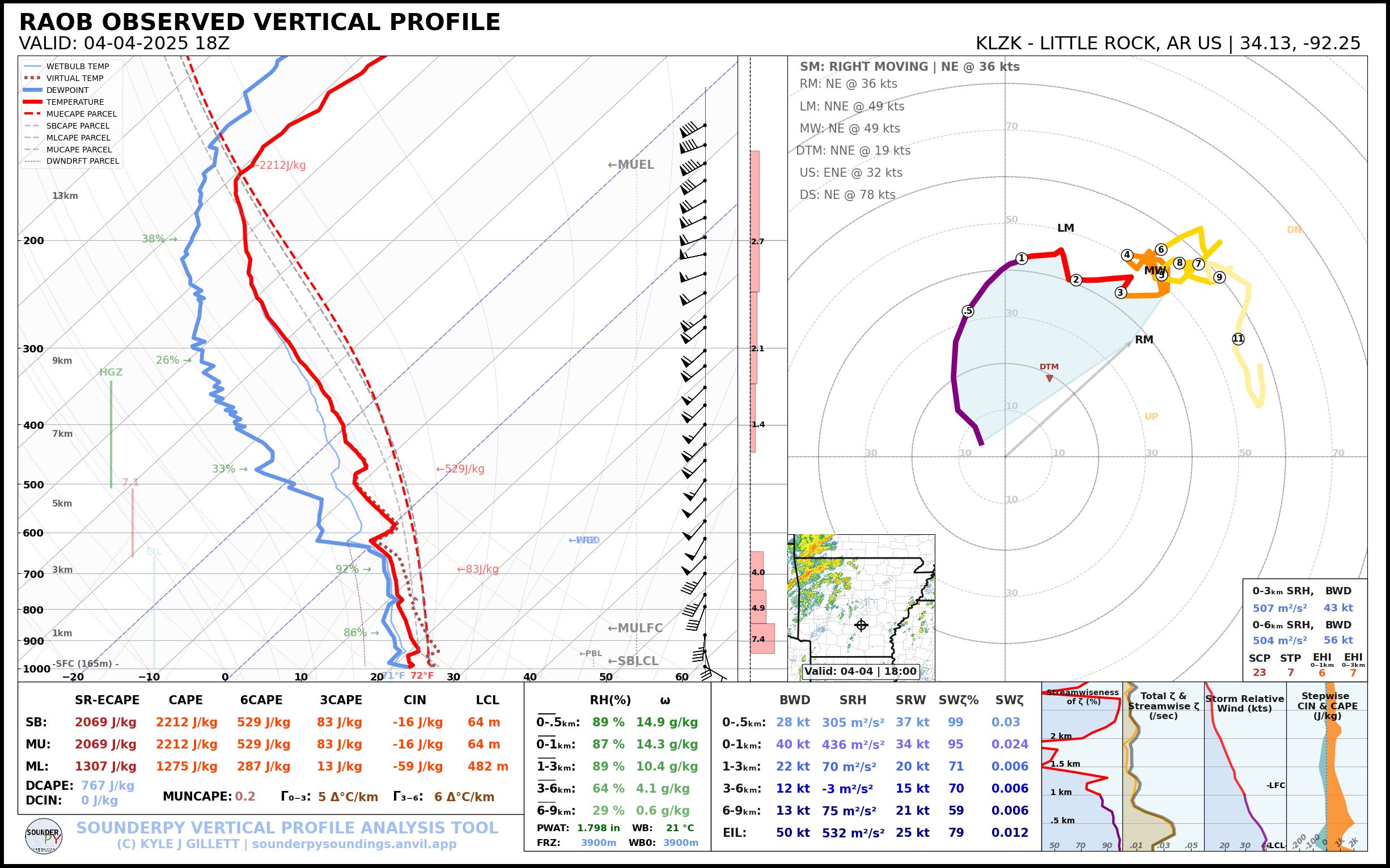
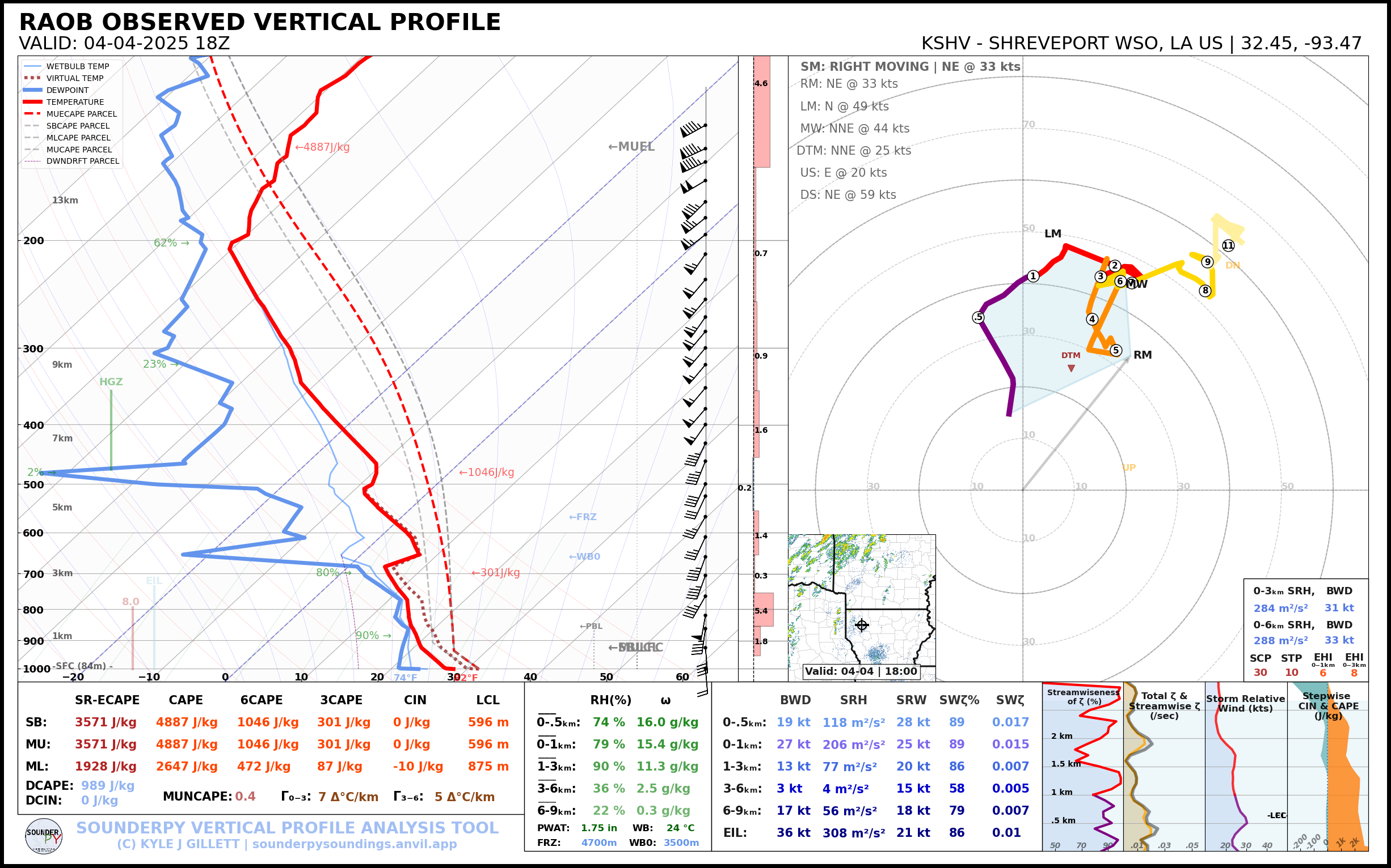
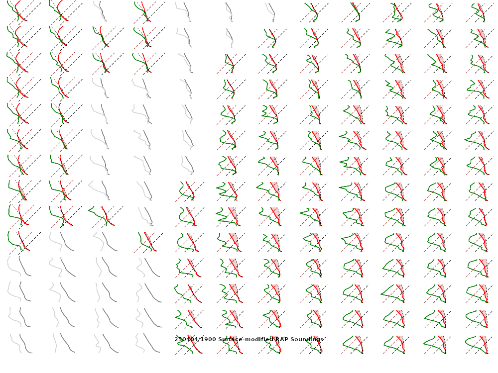
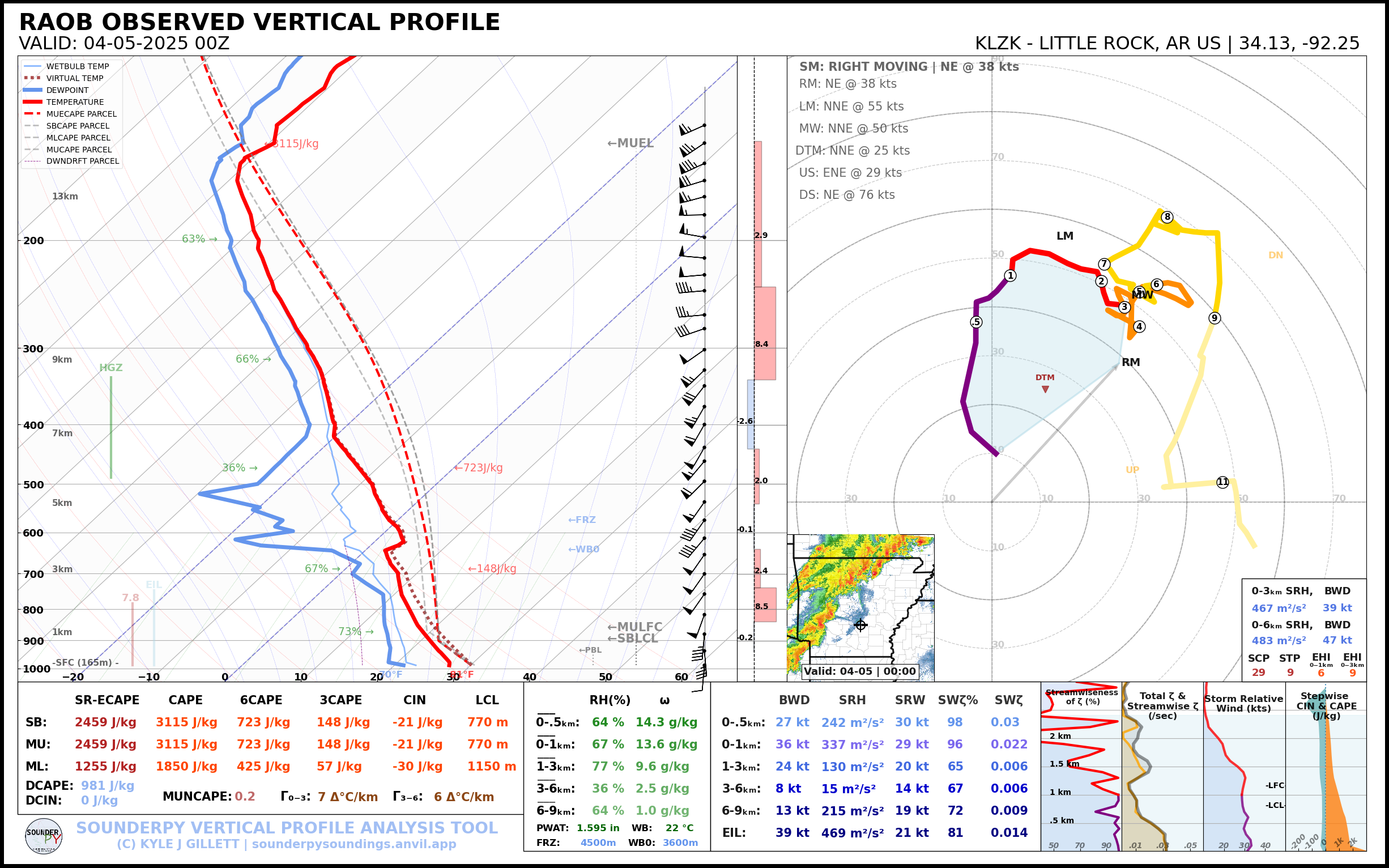
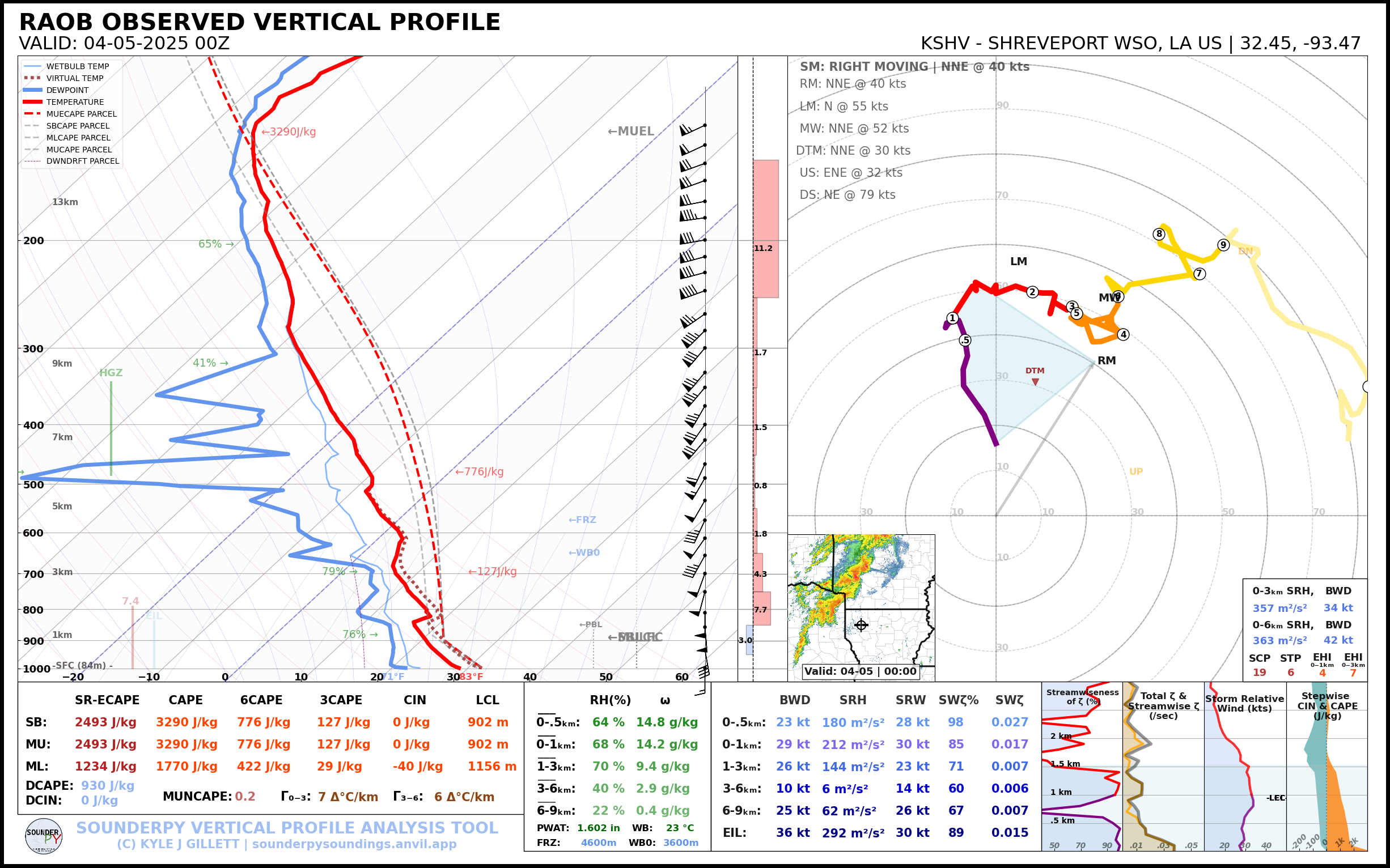
18Z Special Soundings
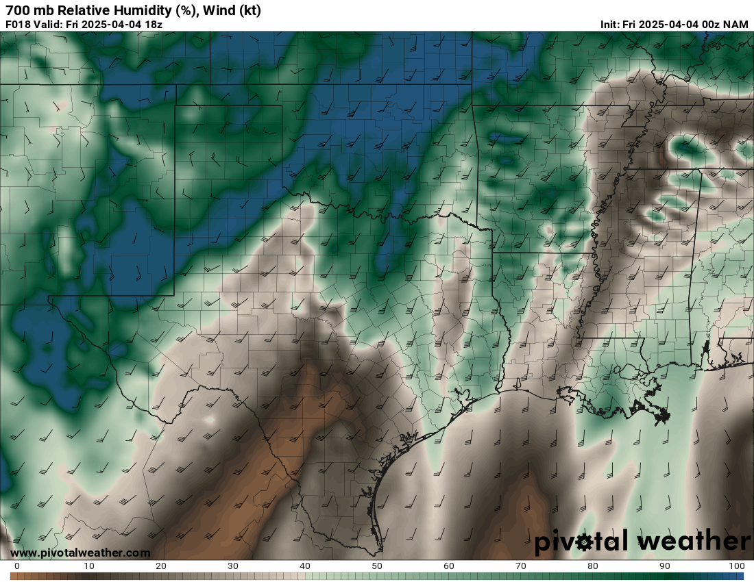
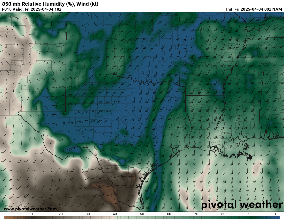
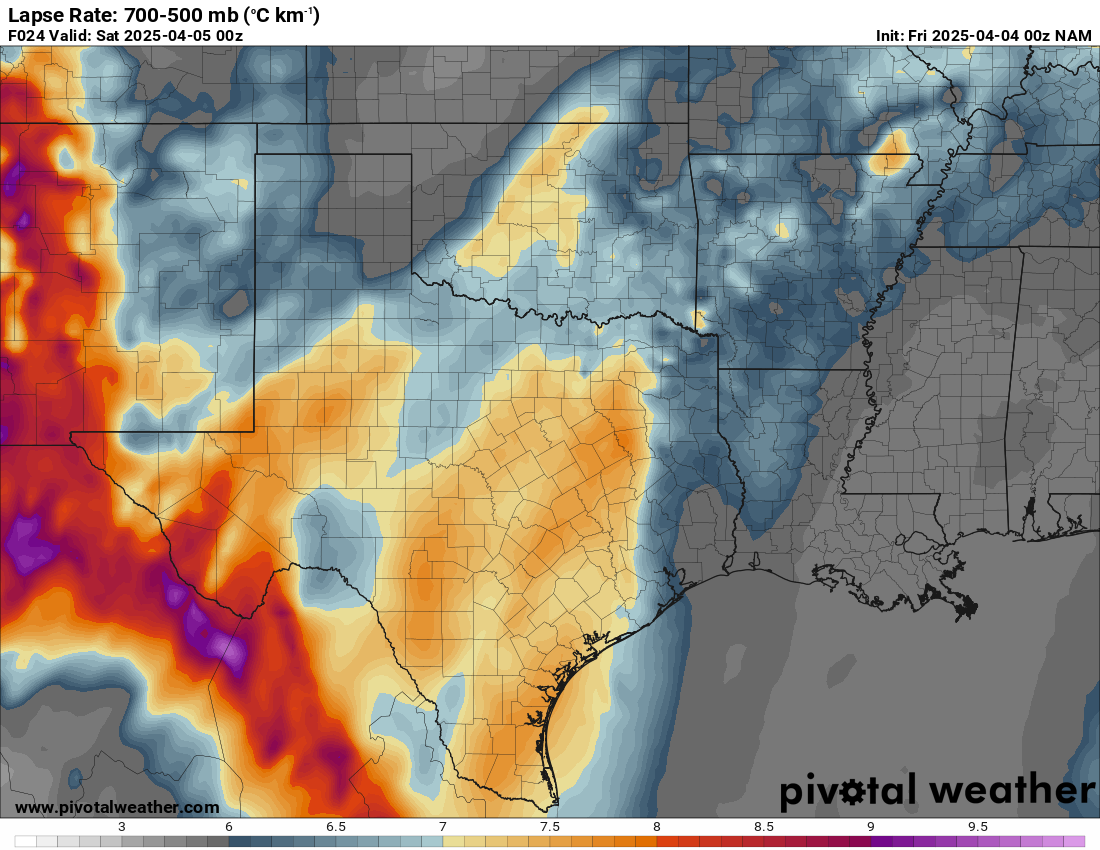
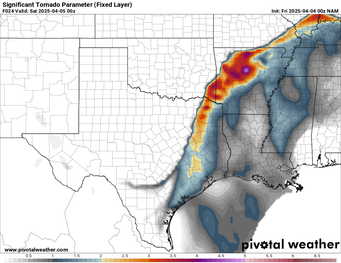
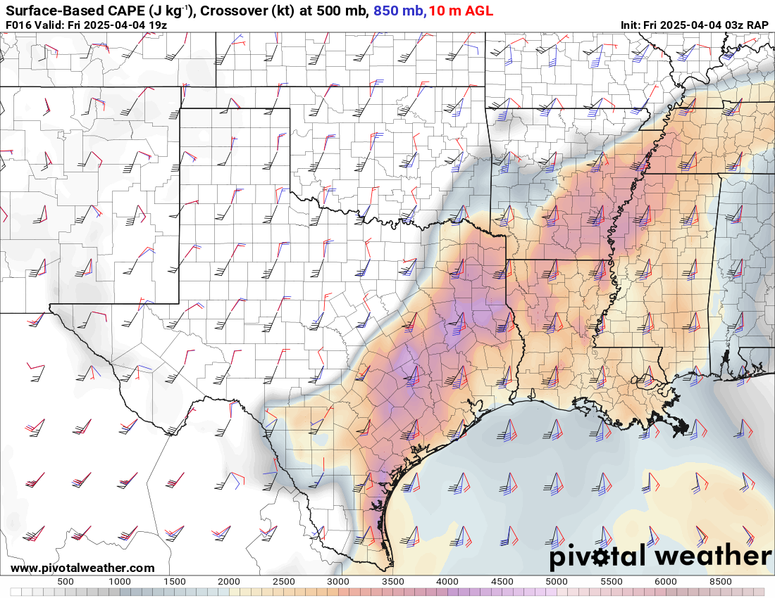
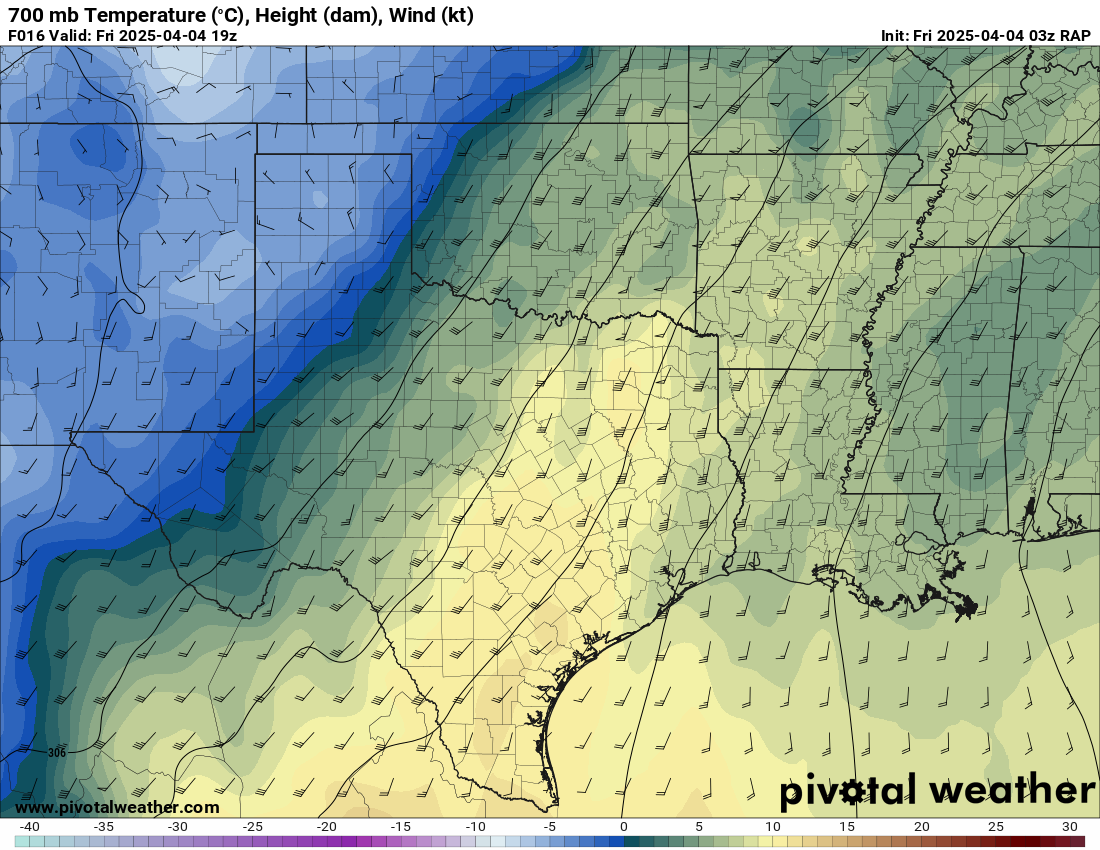
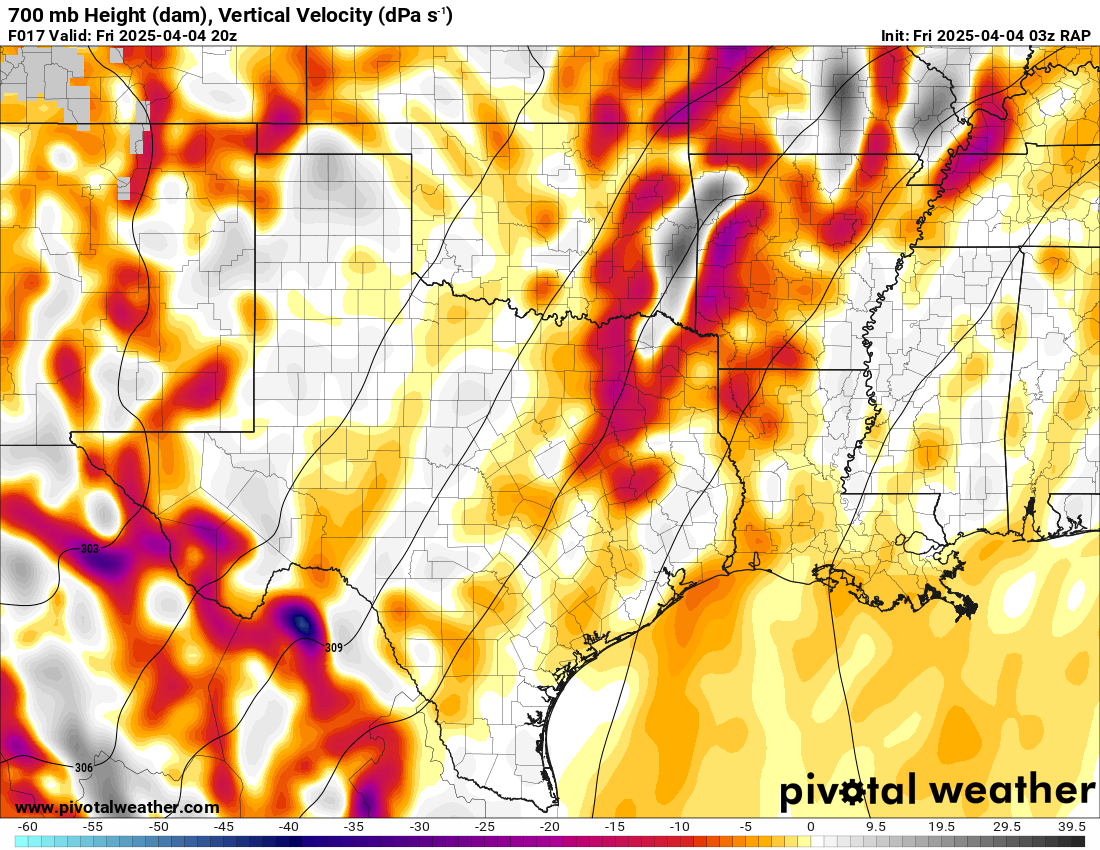
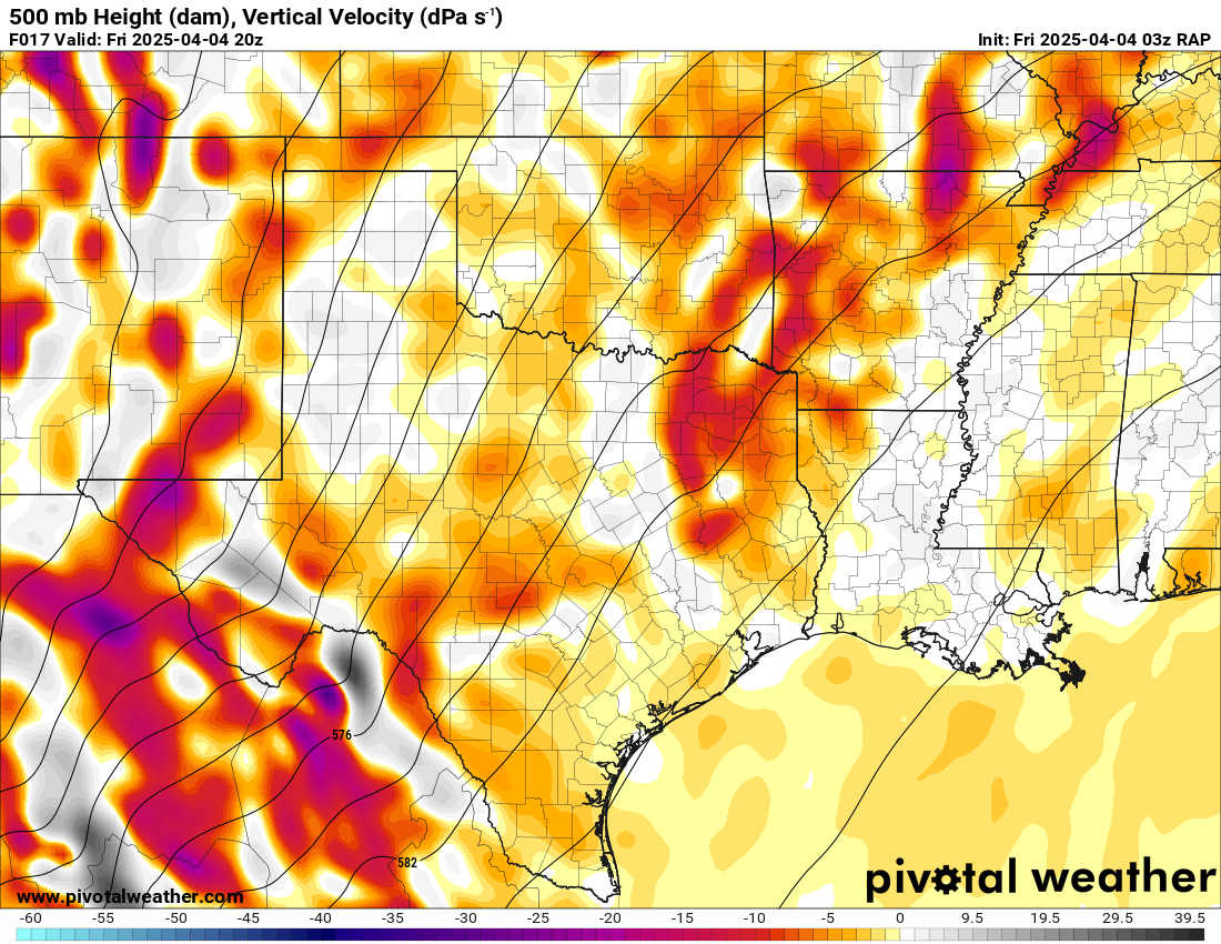
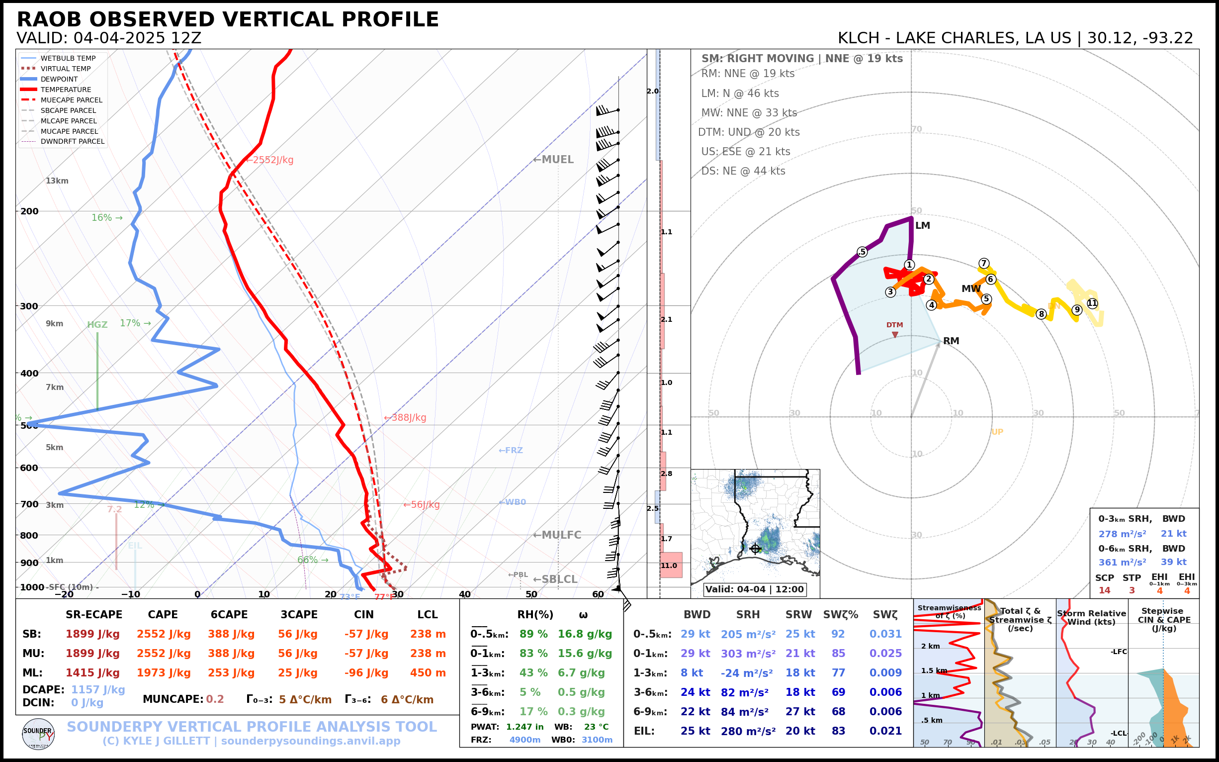
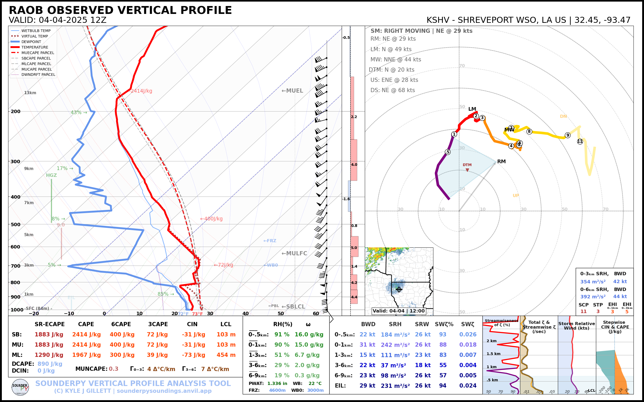
18Z brought us special soundings from Shreveport and Little Rock. Shreveport’s sounding showed minimal capping with a very moist and unstable air mass. A weakness on the hodo in the mid levels, but otherwise a solid sounding for a tornado day.
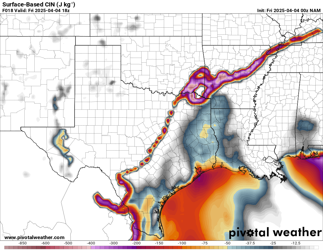
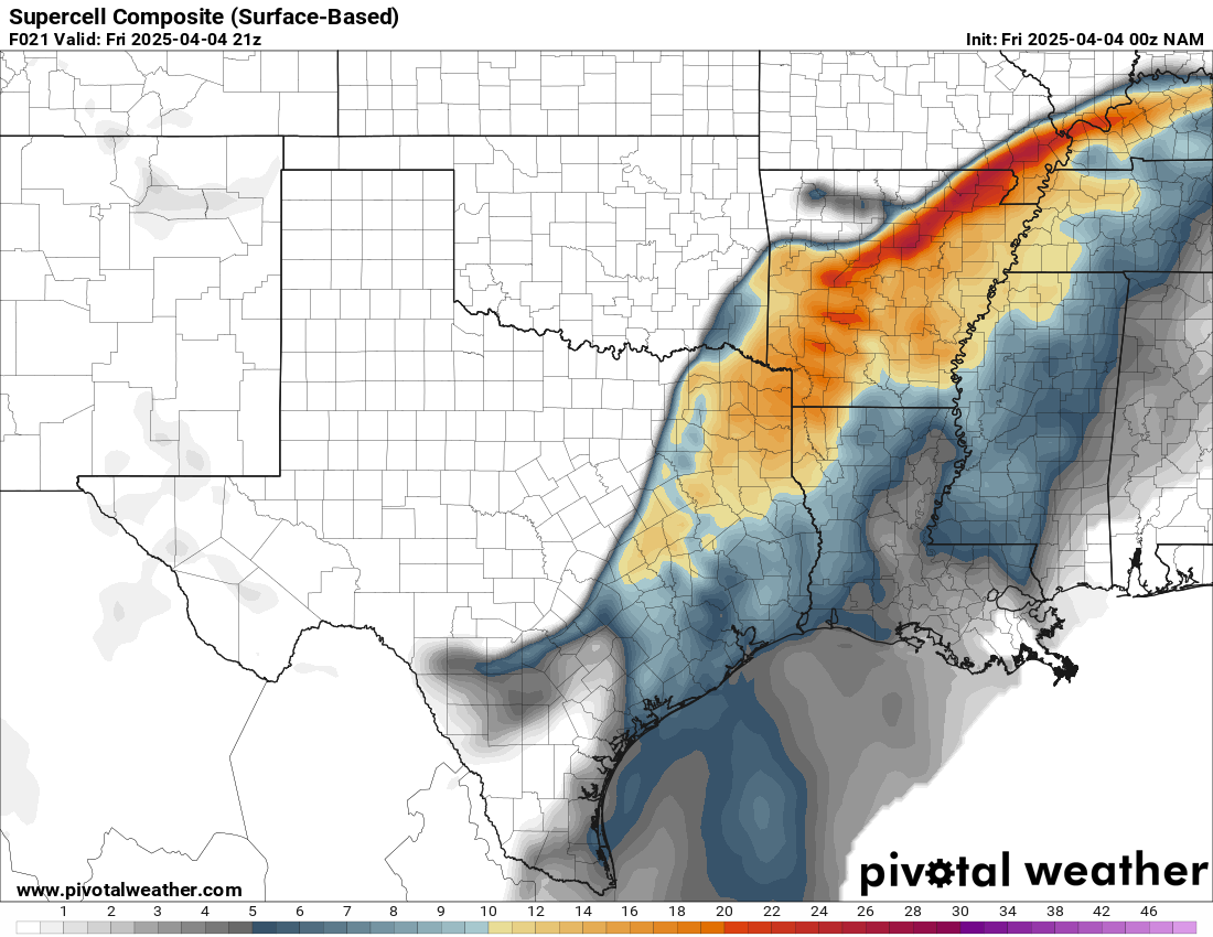
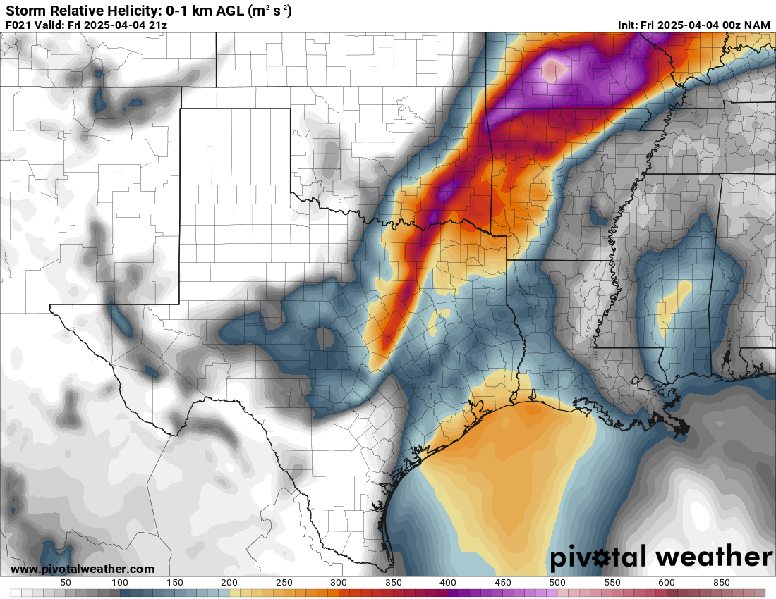
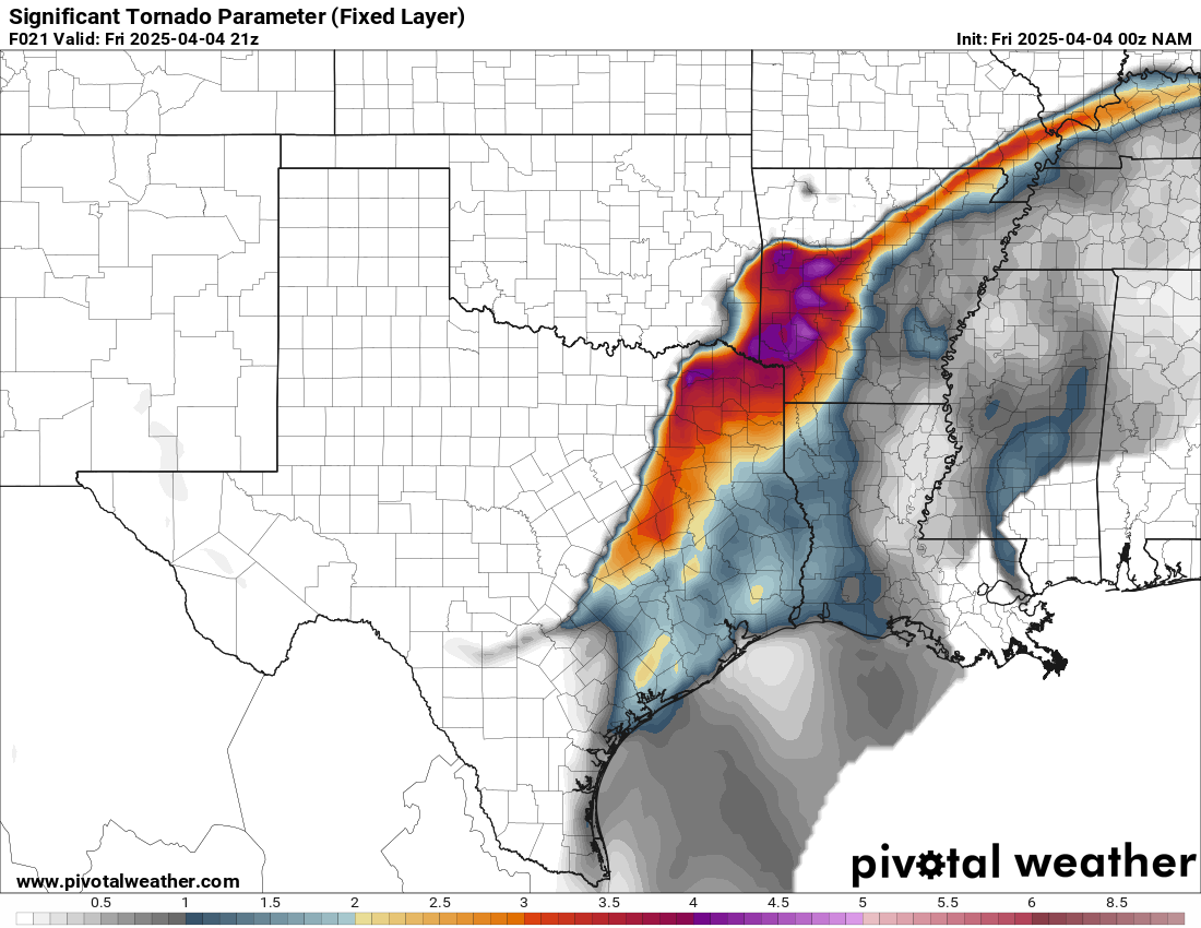
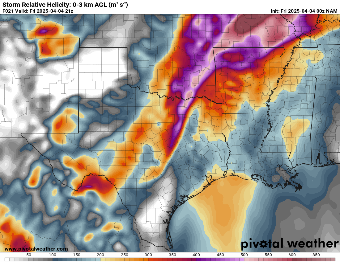
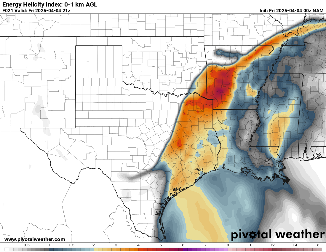
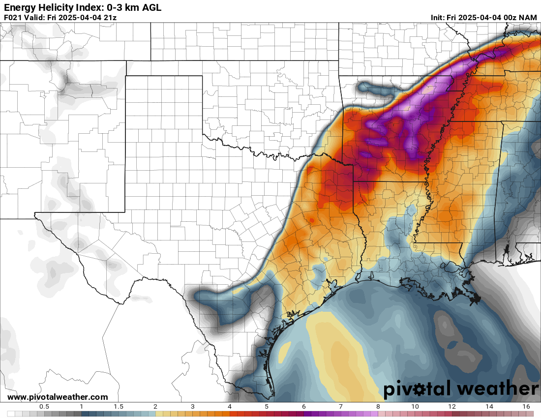
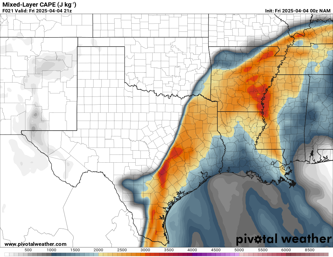
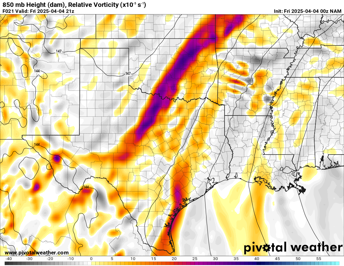
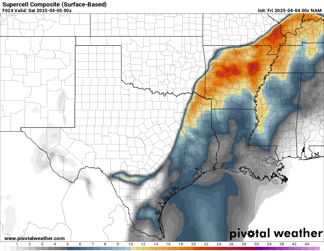
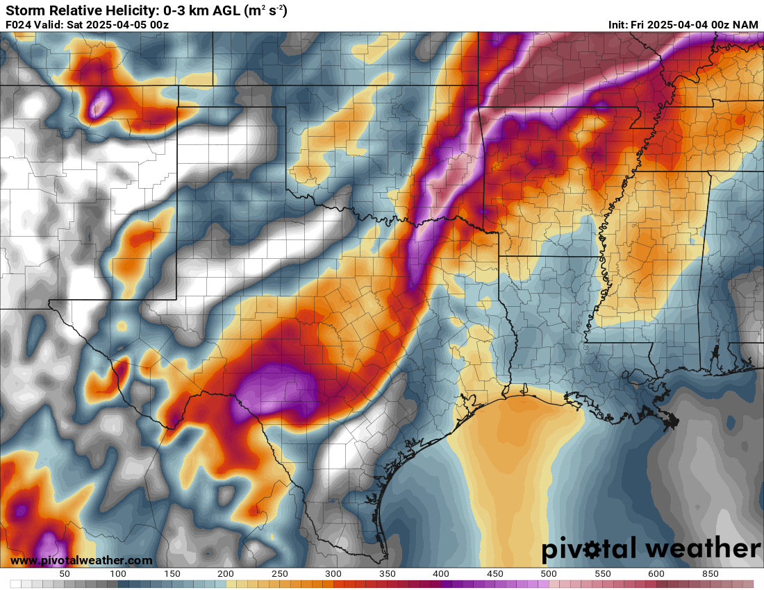
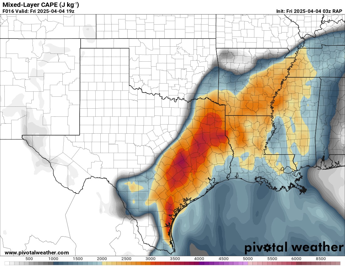
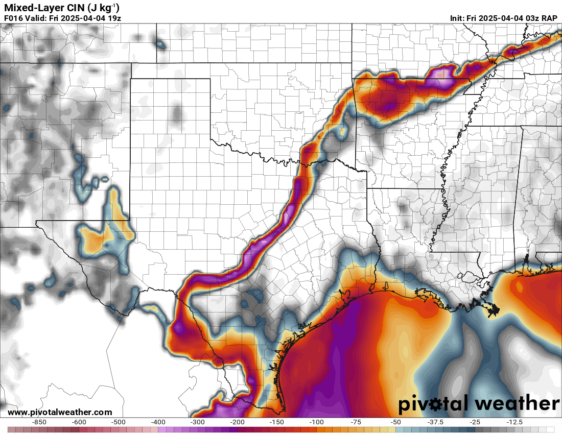
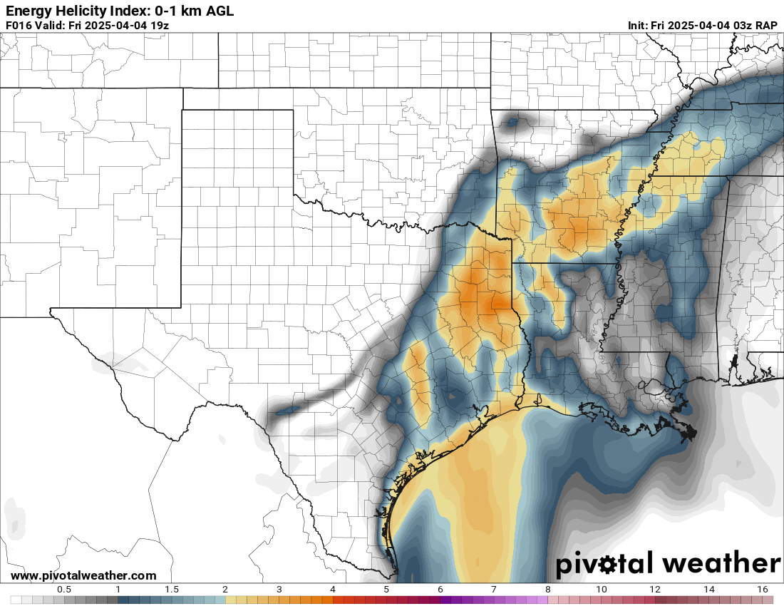
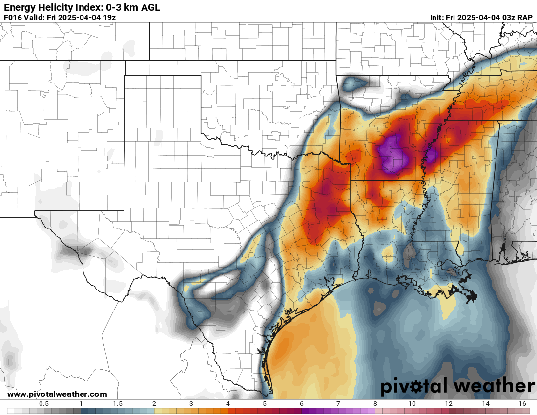
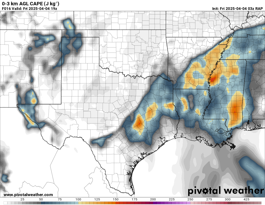
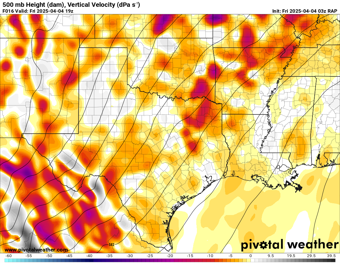
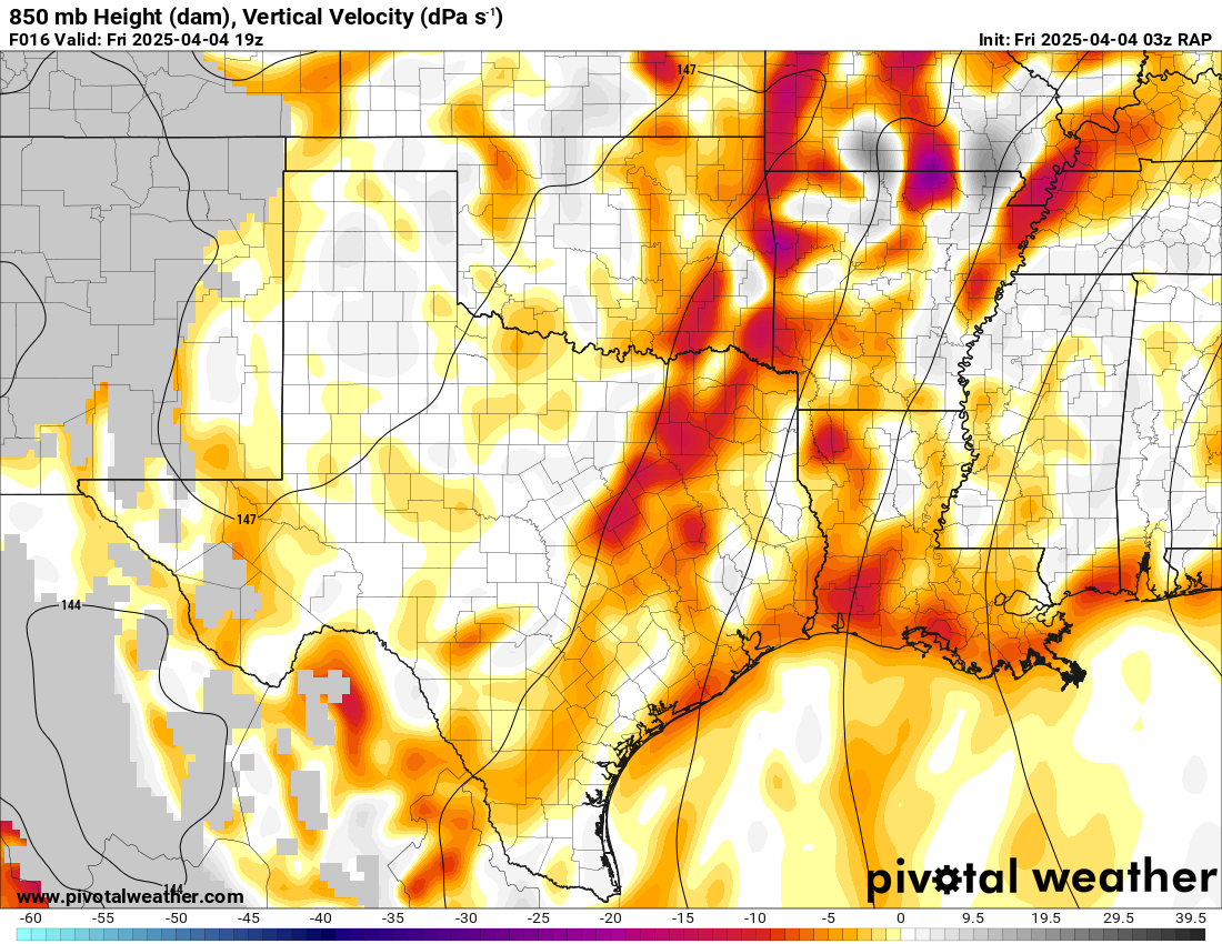
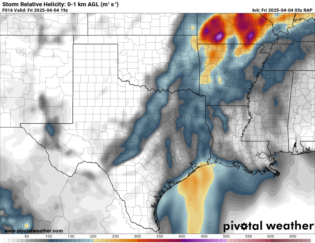
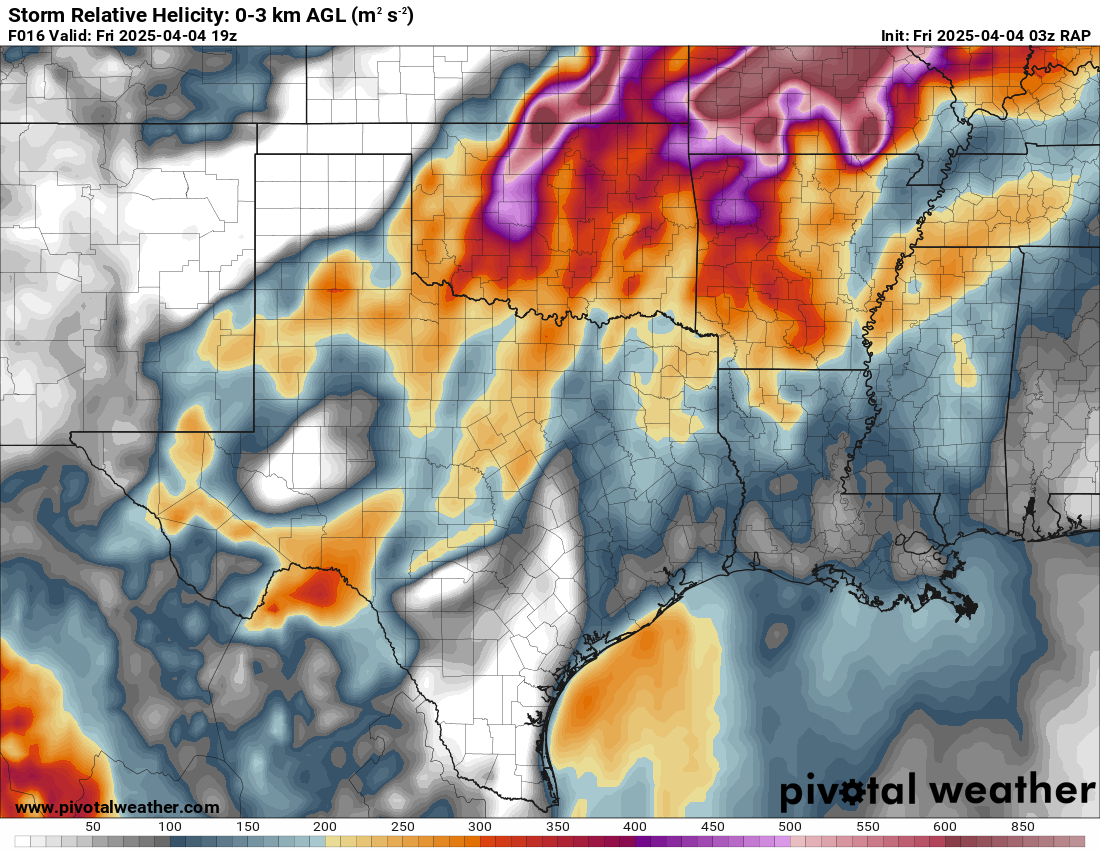
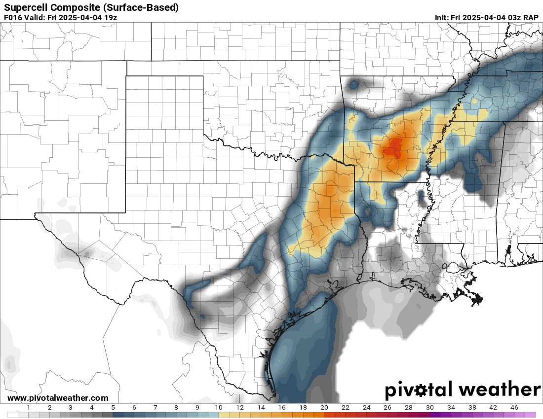
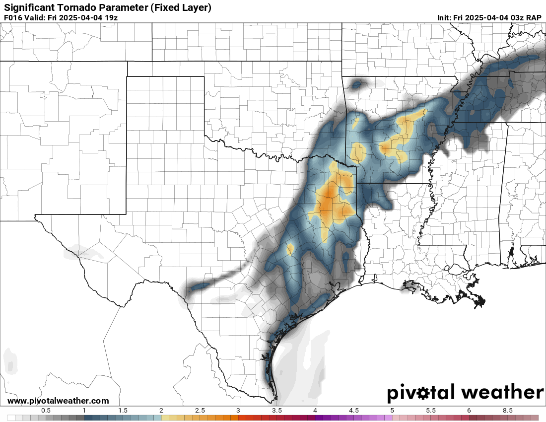
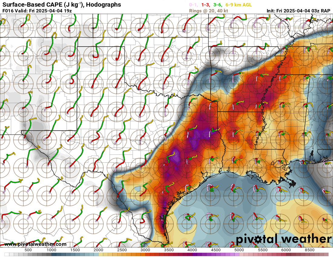
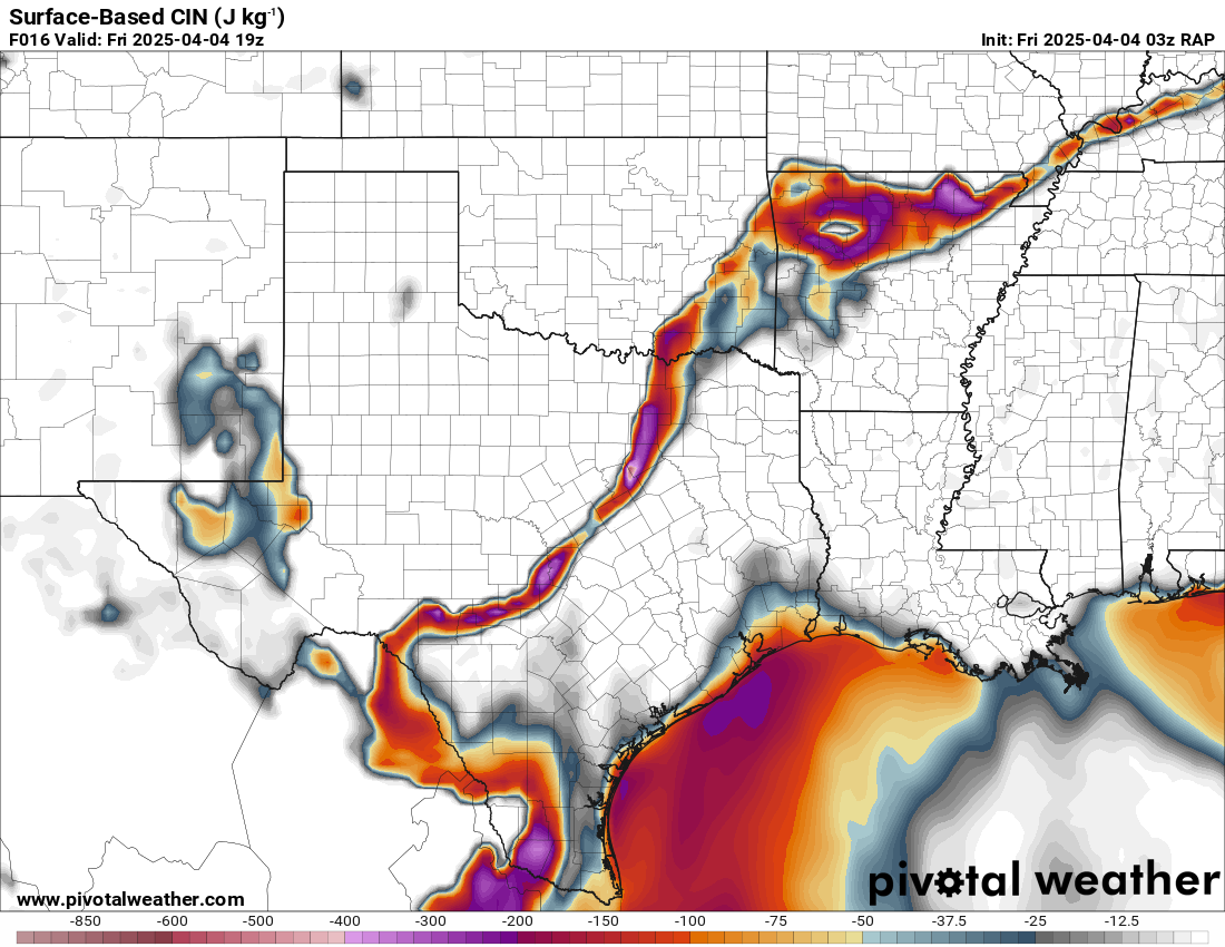
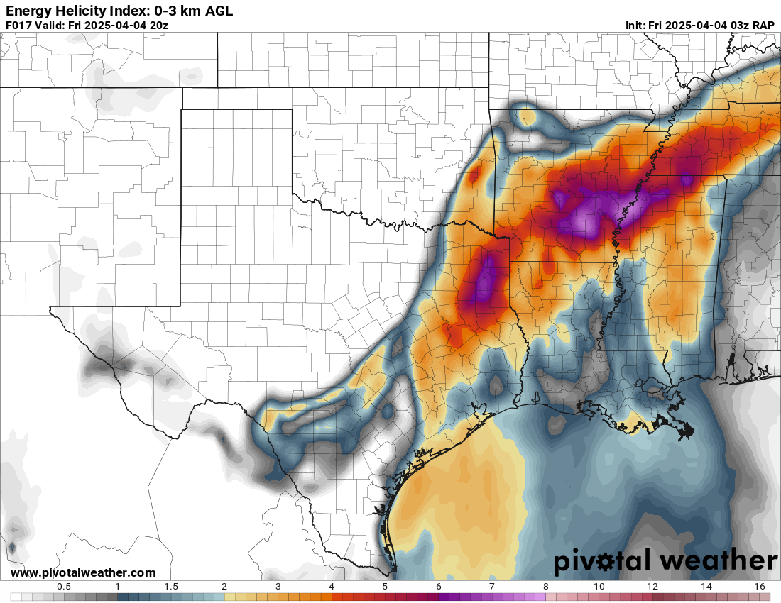
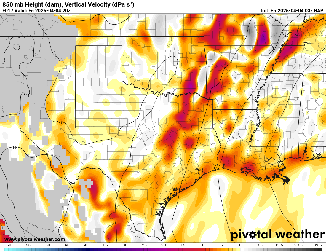
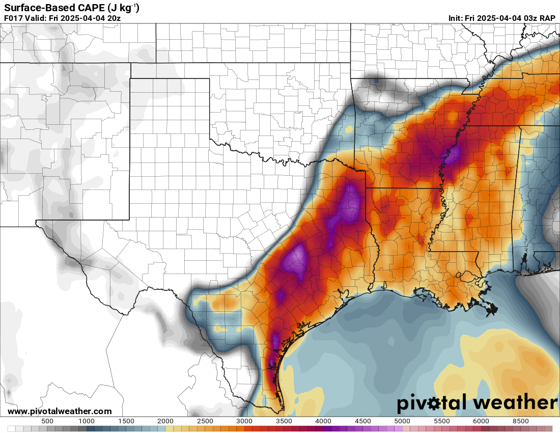
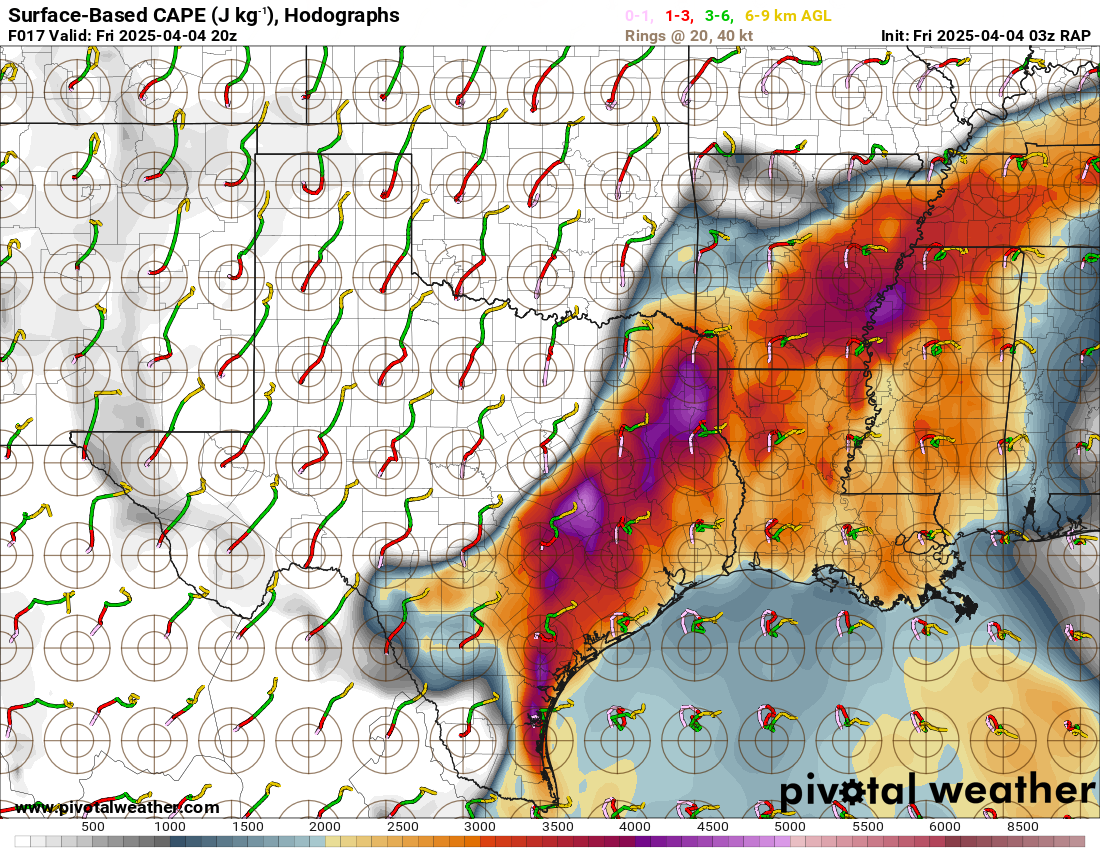
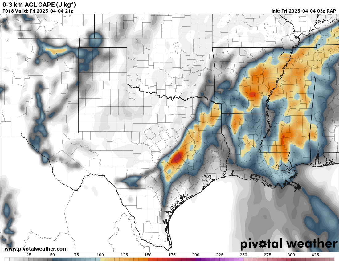
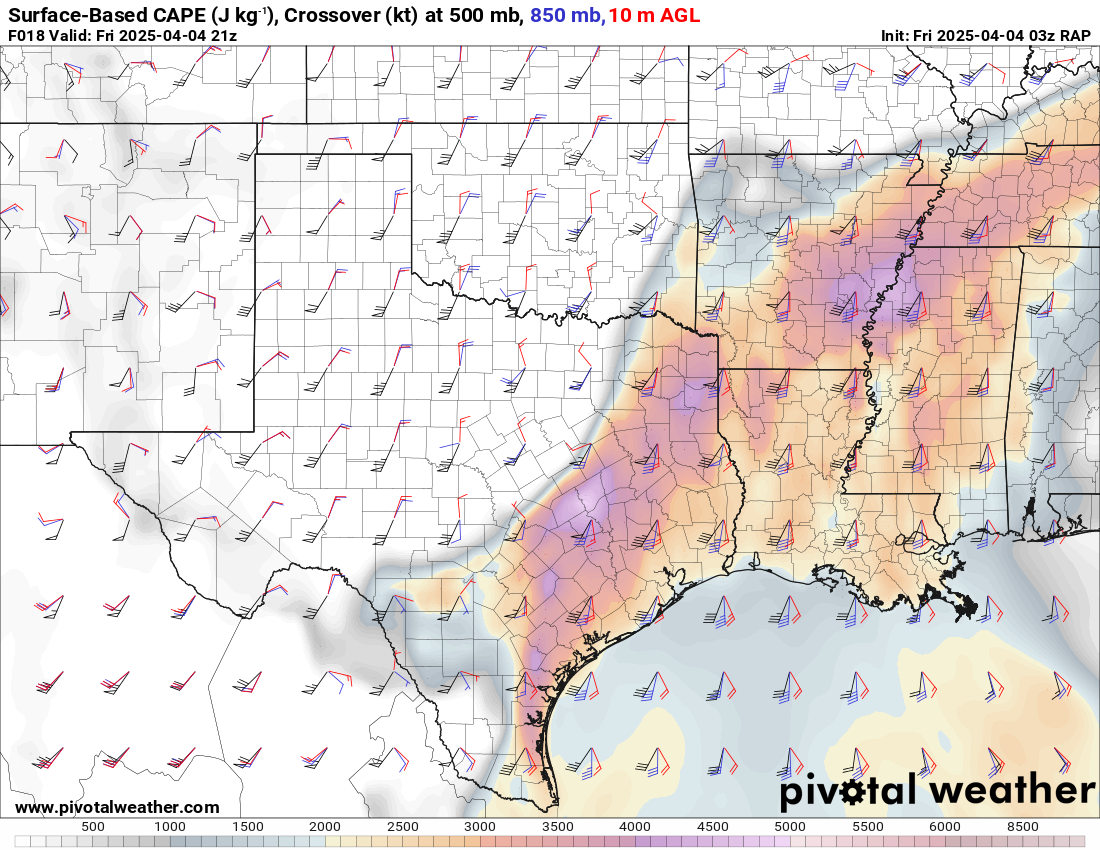
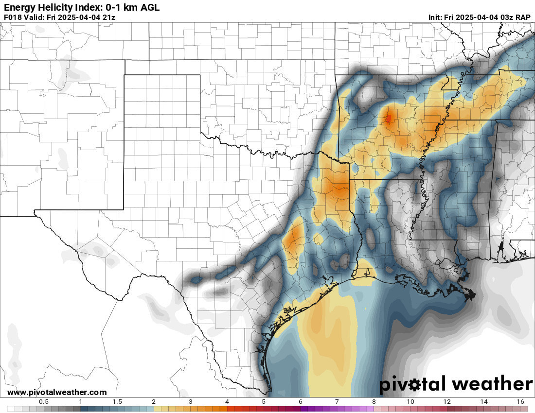
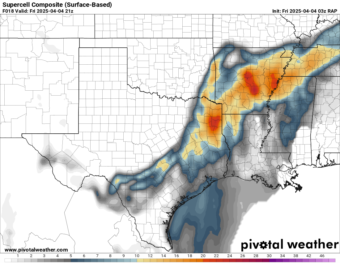
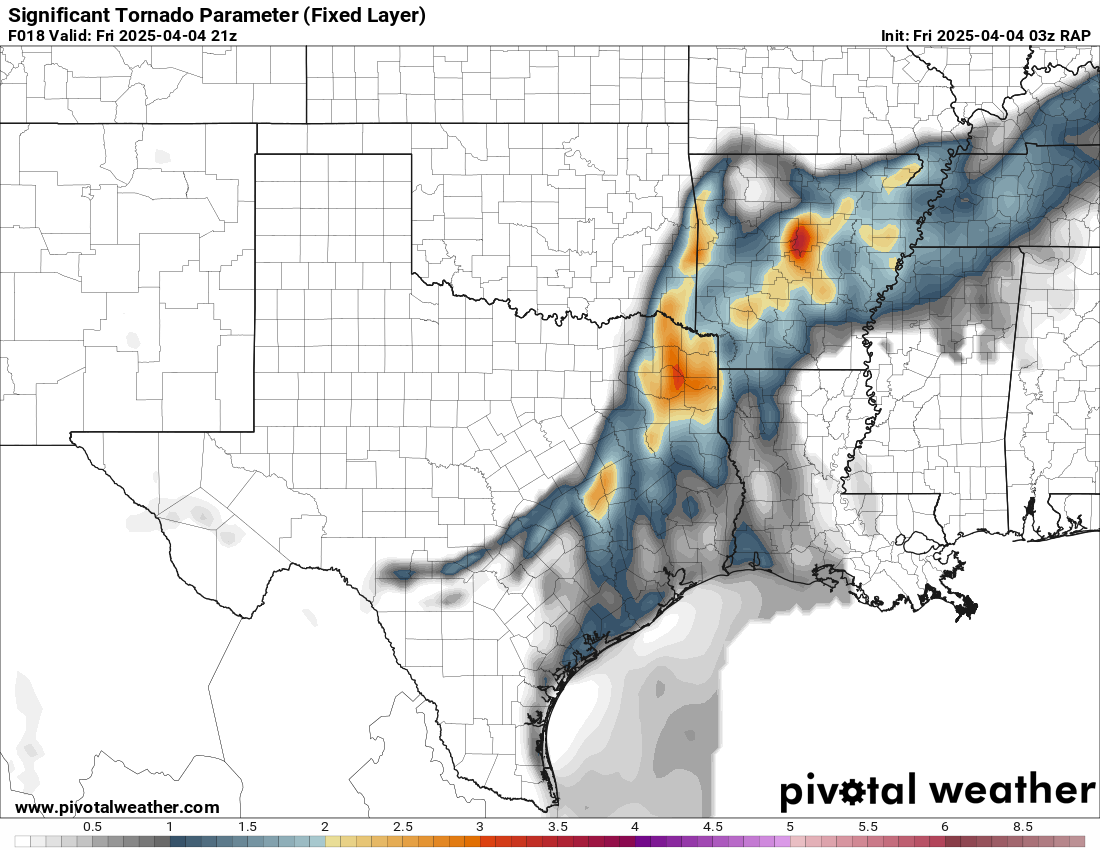
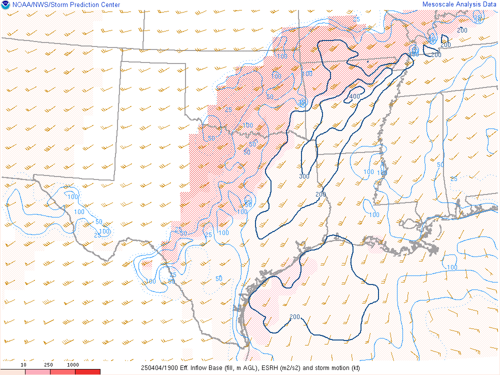
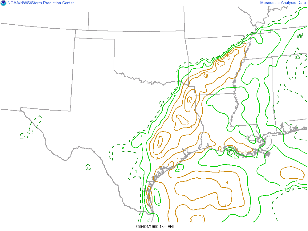
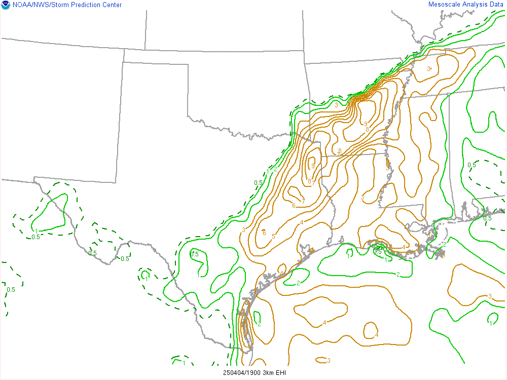
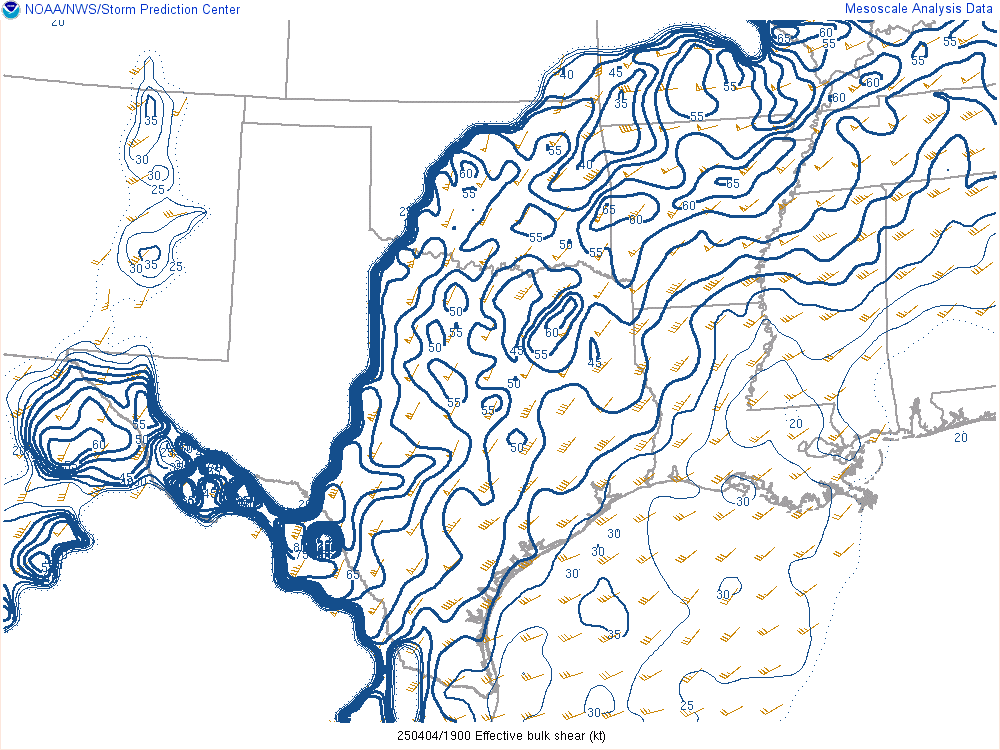
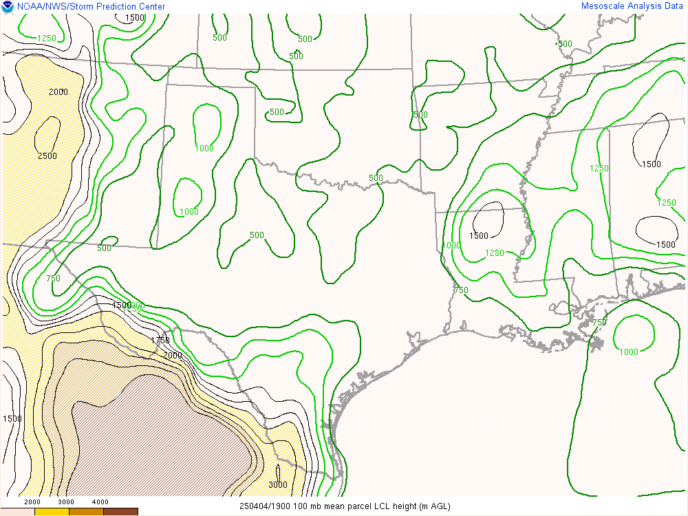
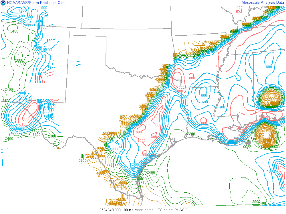
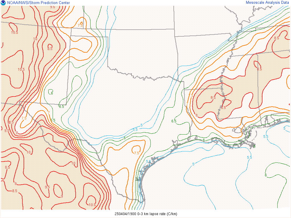
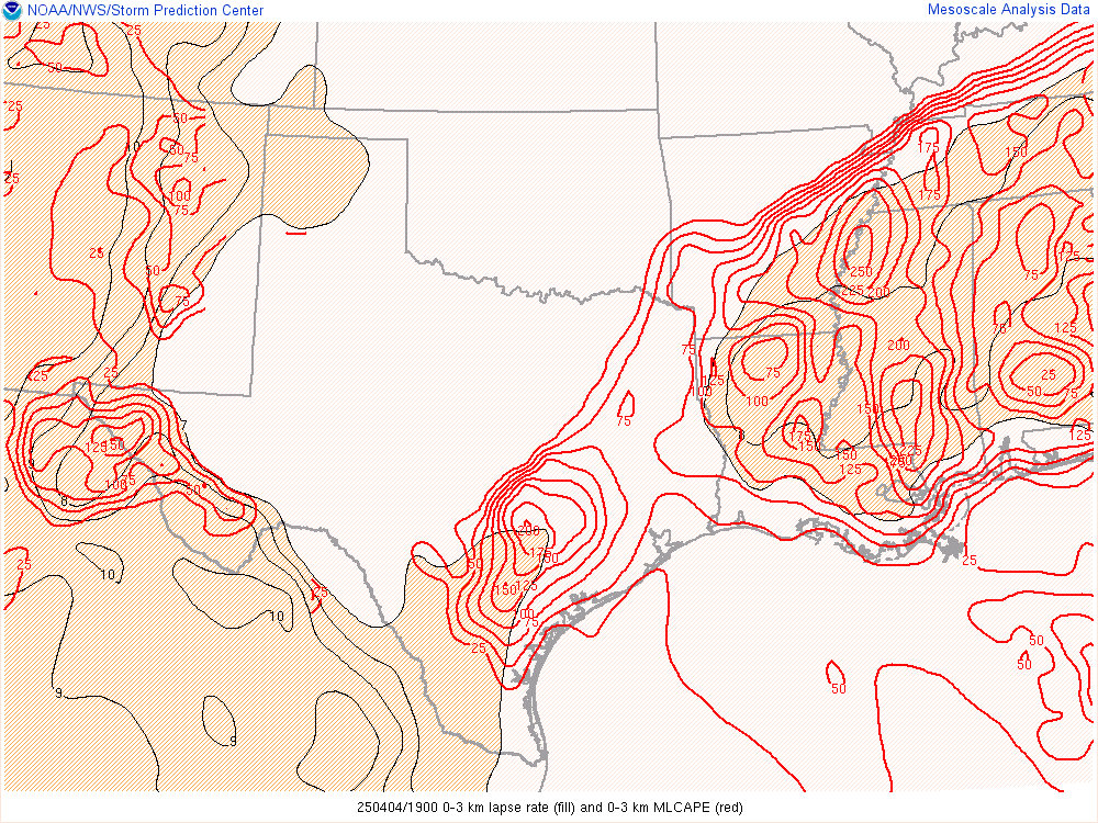
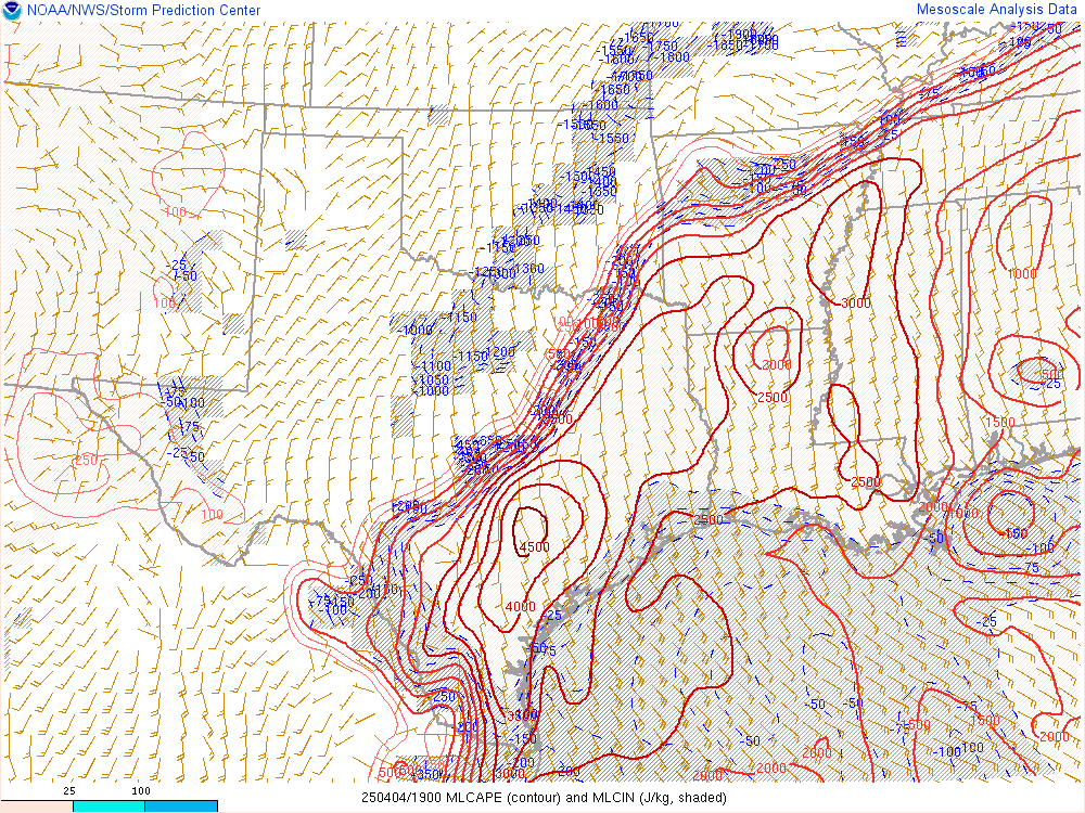
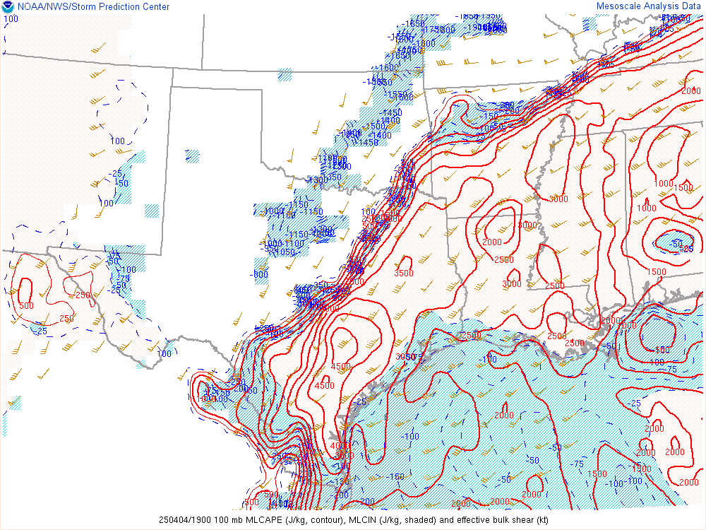
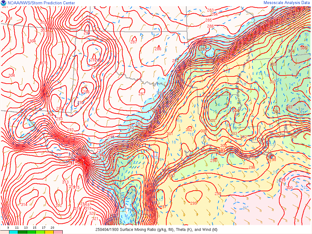
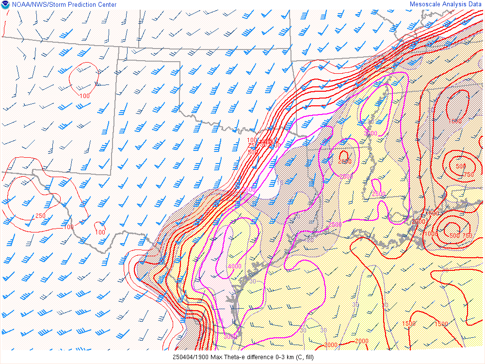
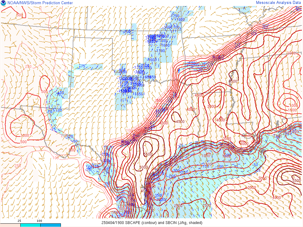
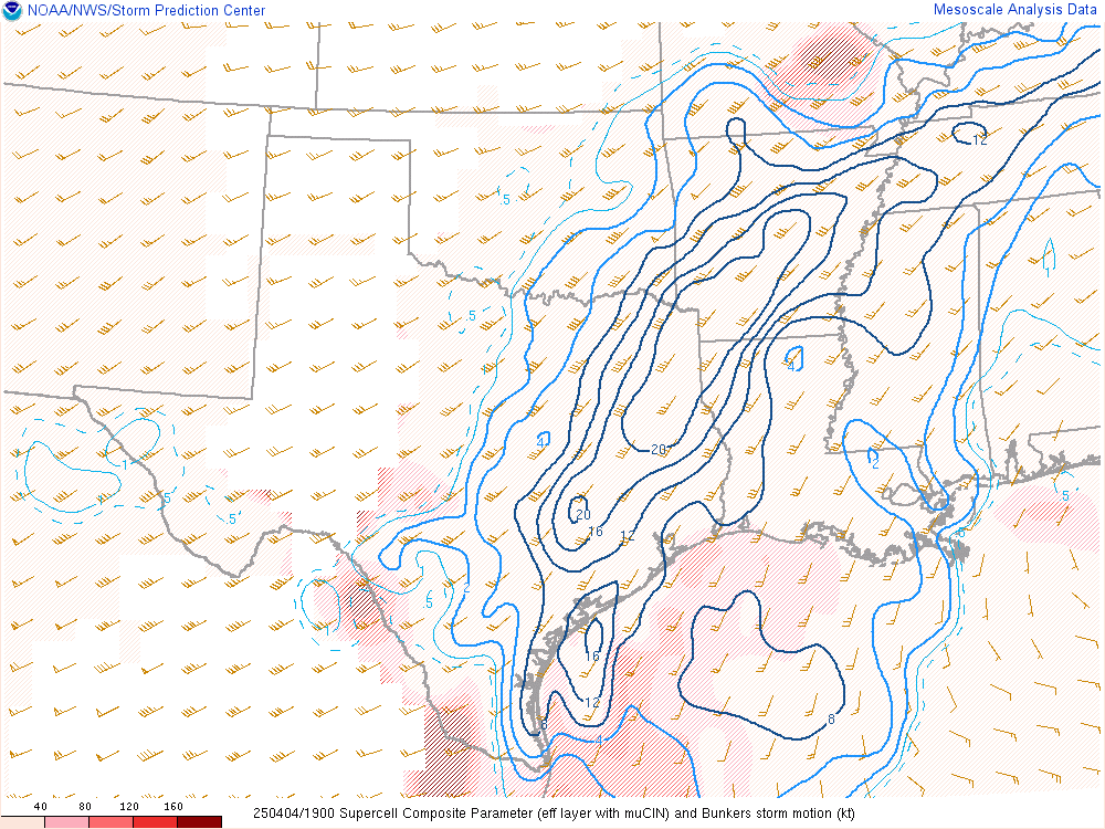
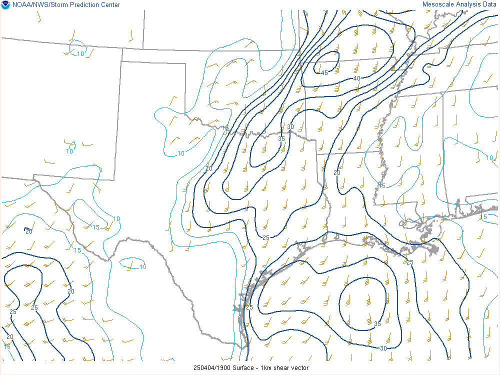
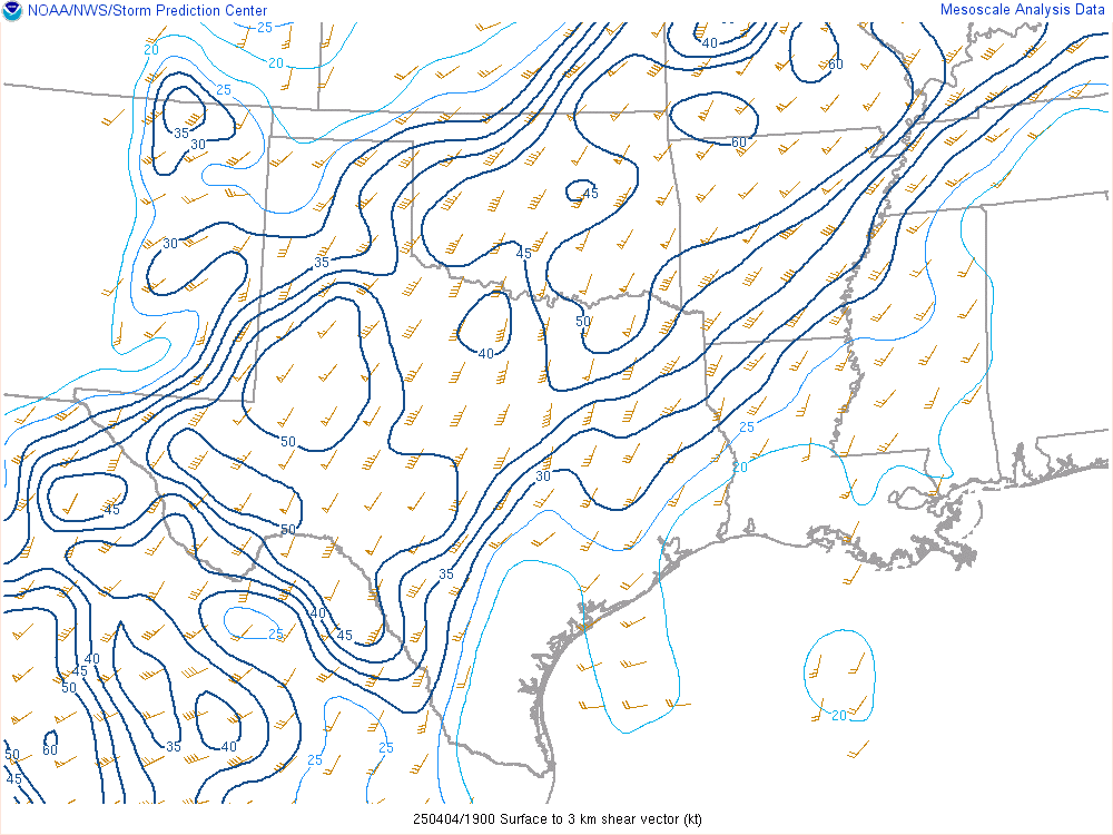
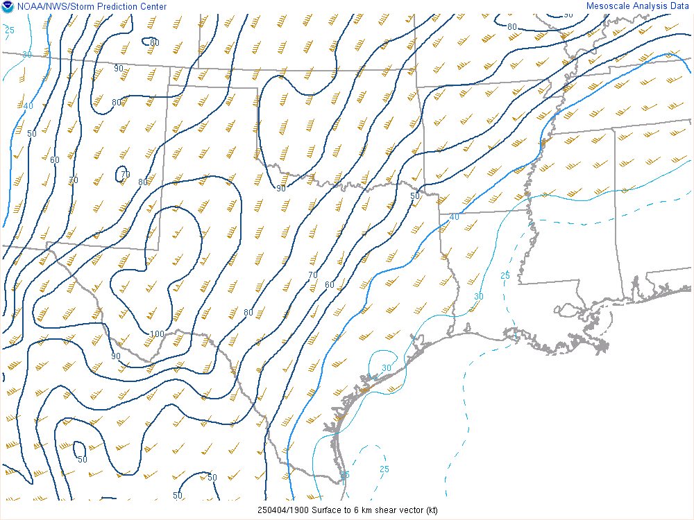
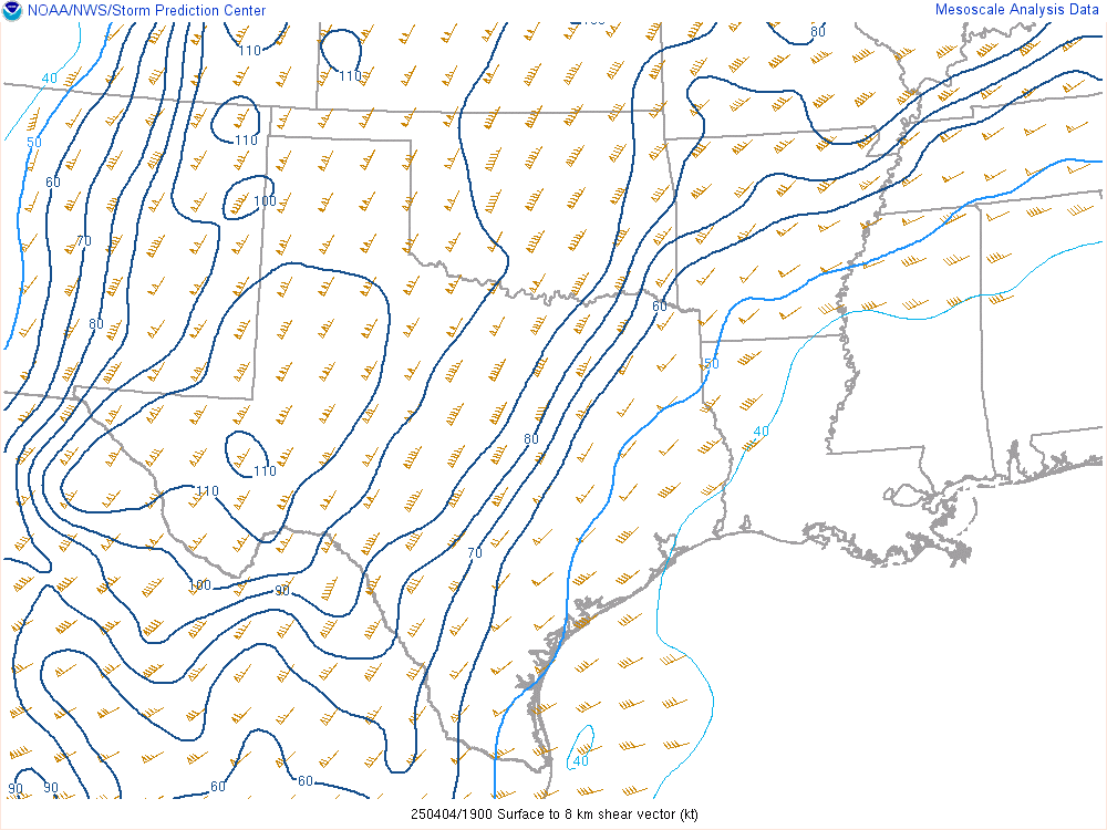
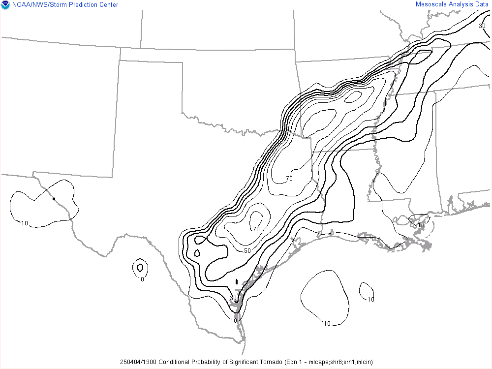
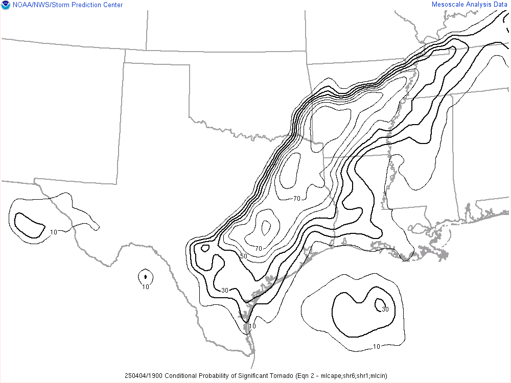
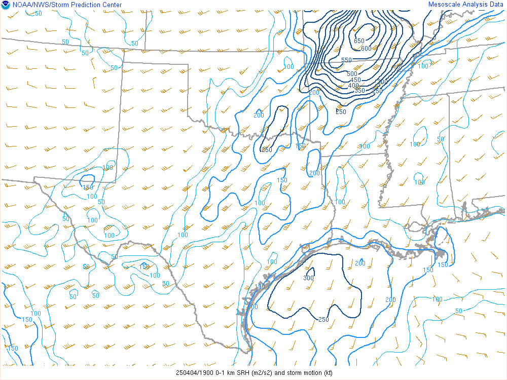
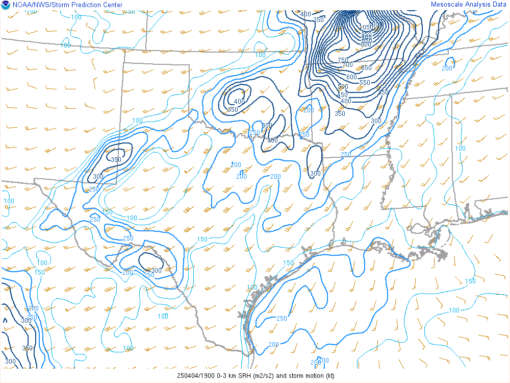
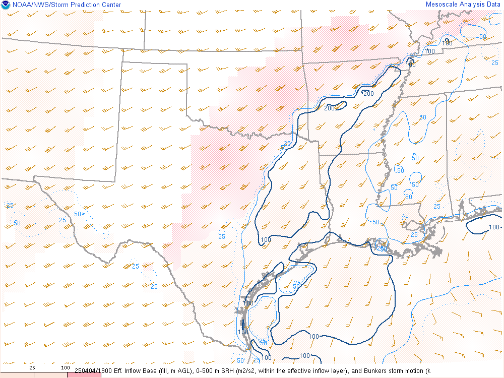
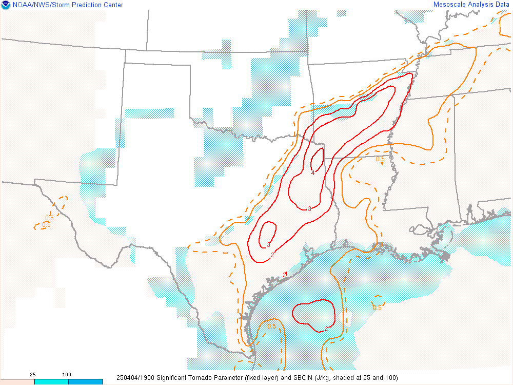
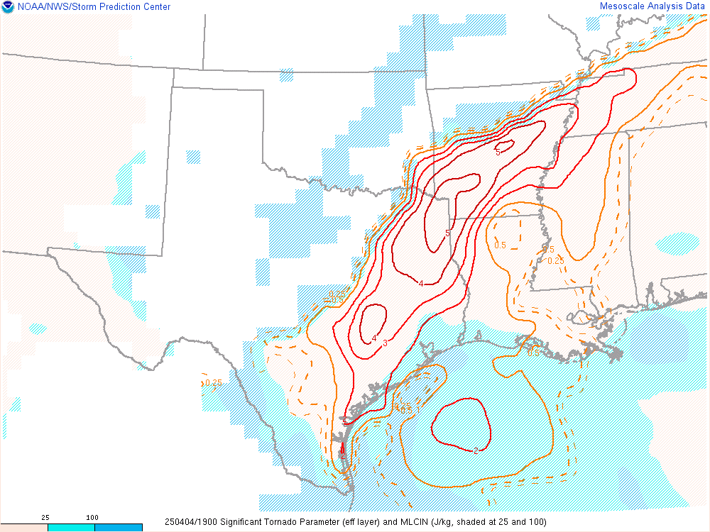
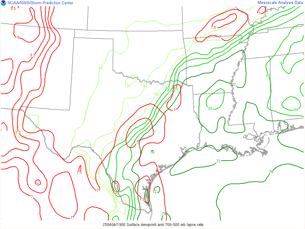
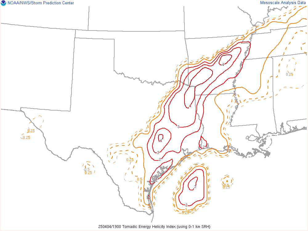
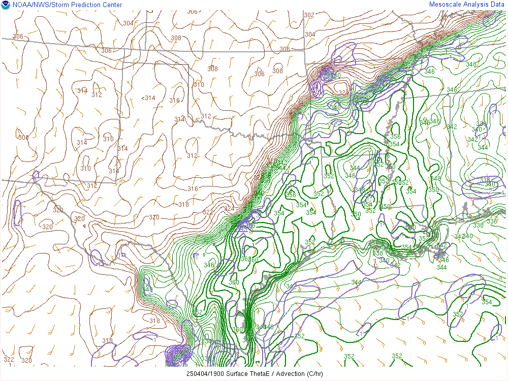
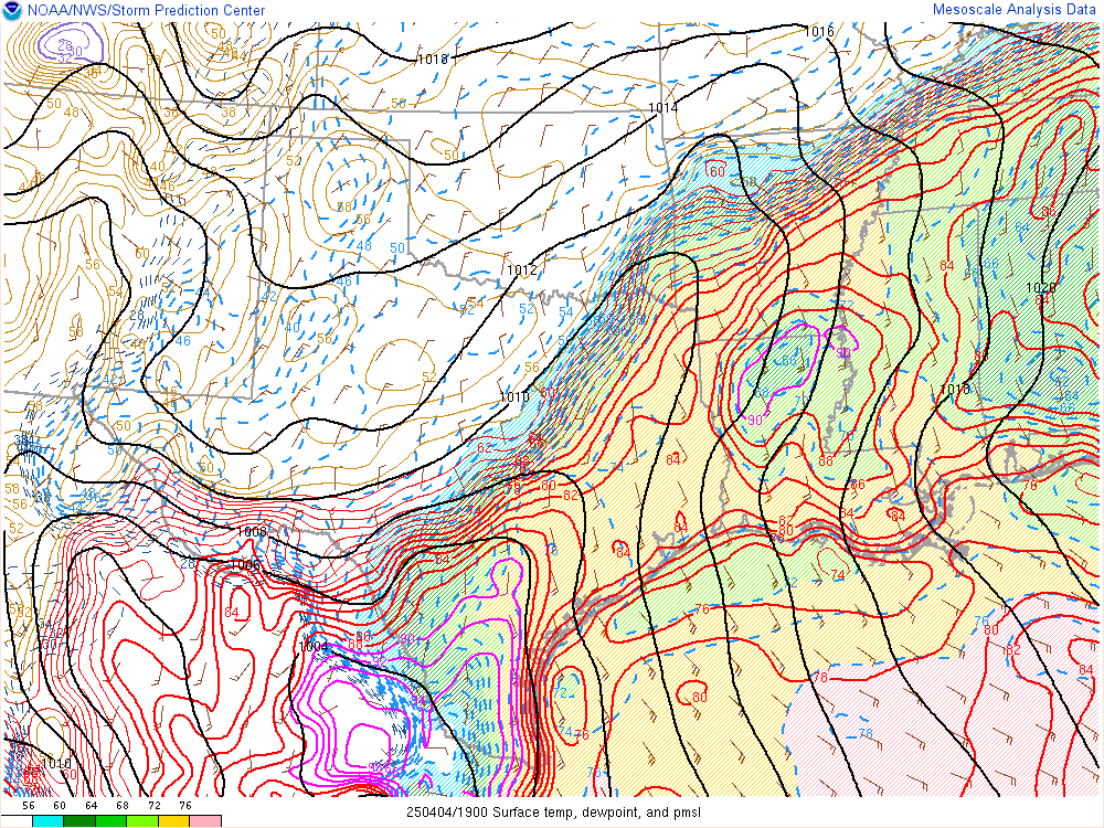
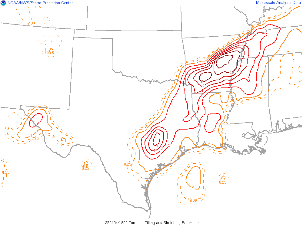
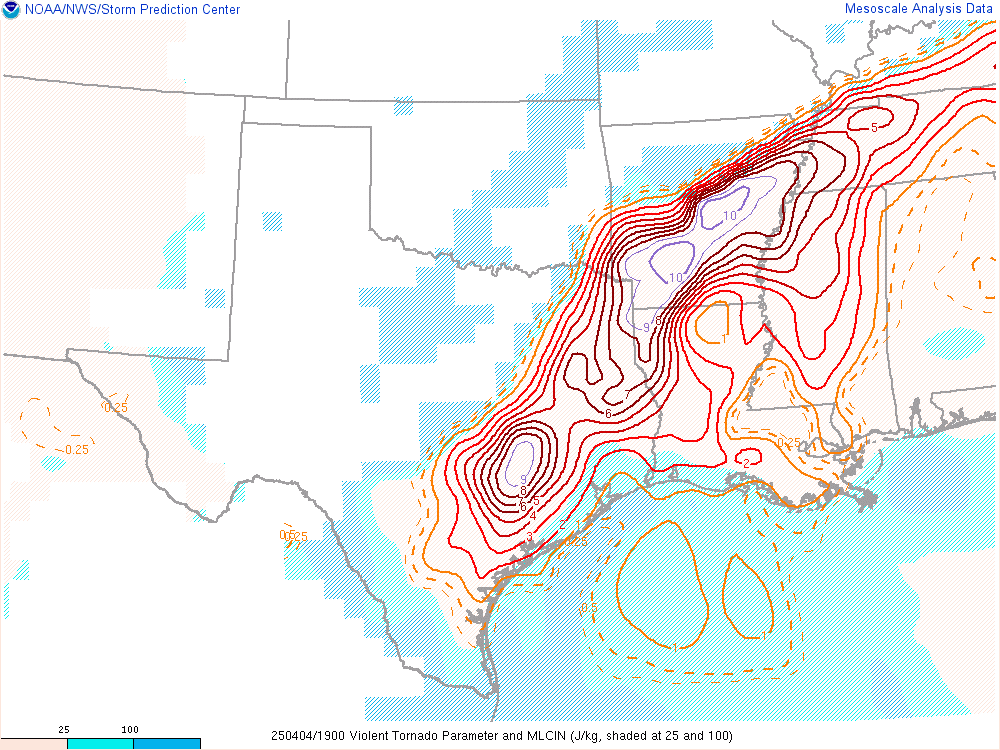
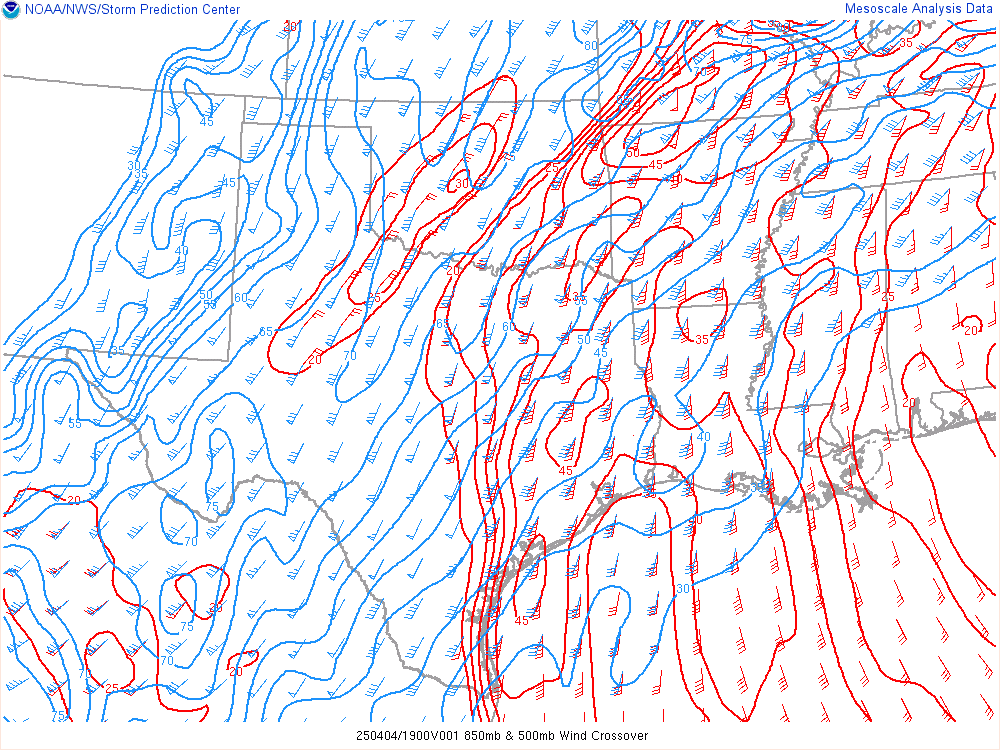
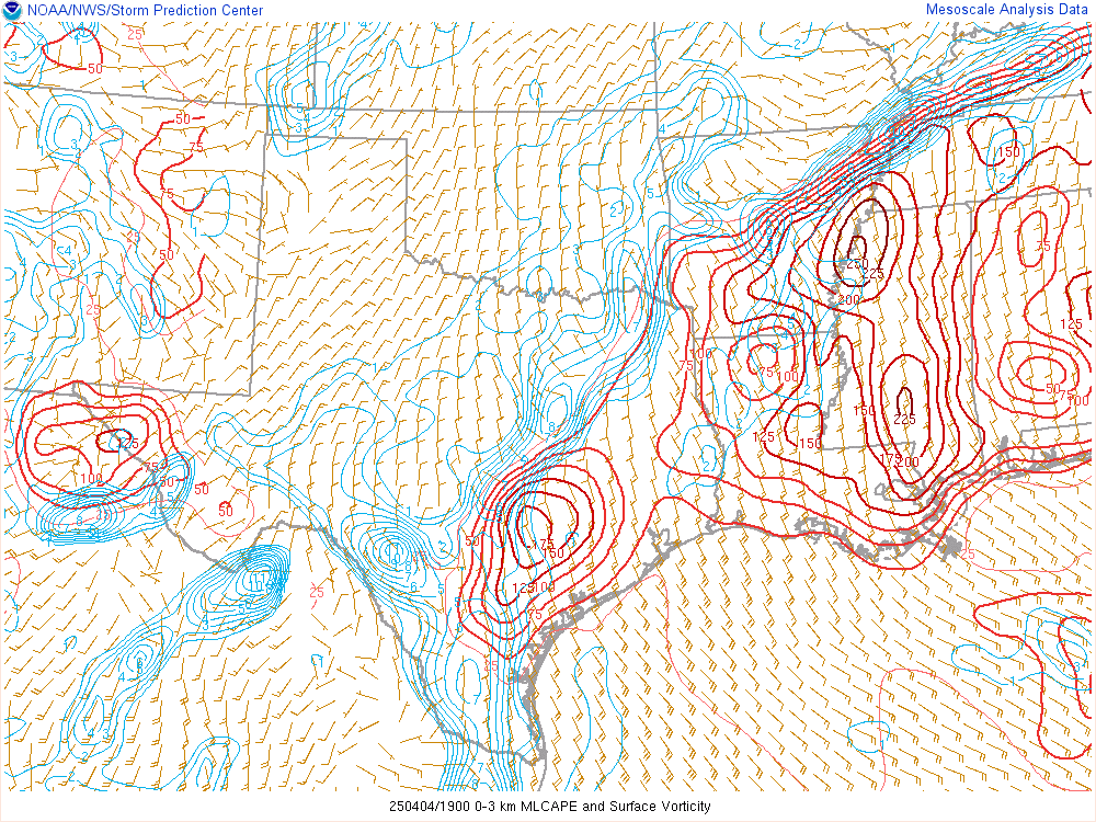
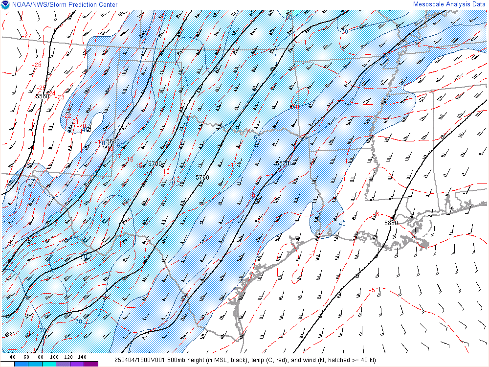
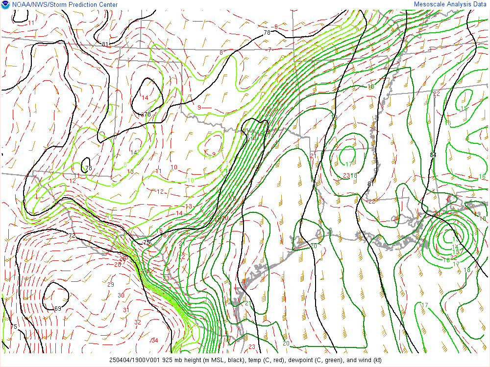
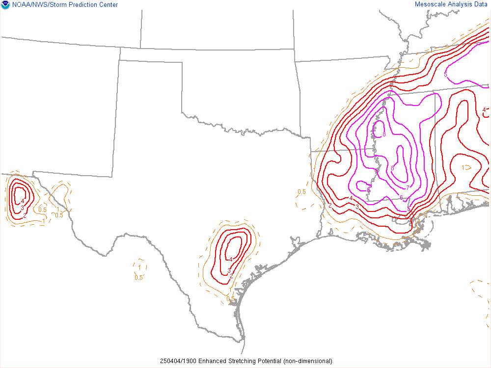
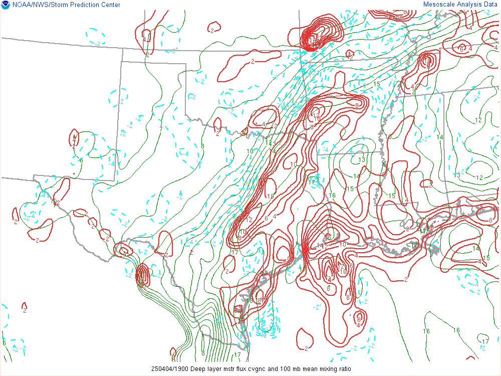
SPC 19Z Mesoanalysis
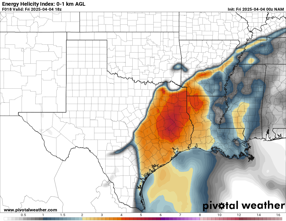
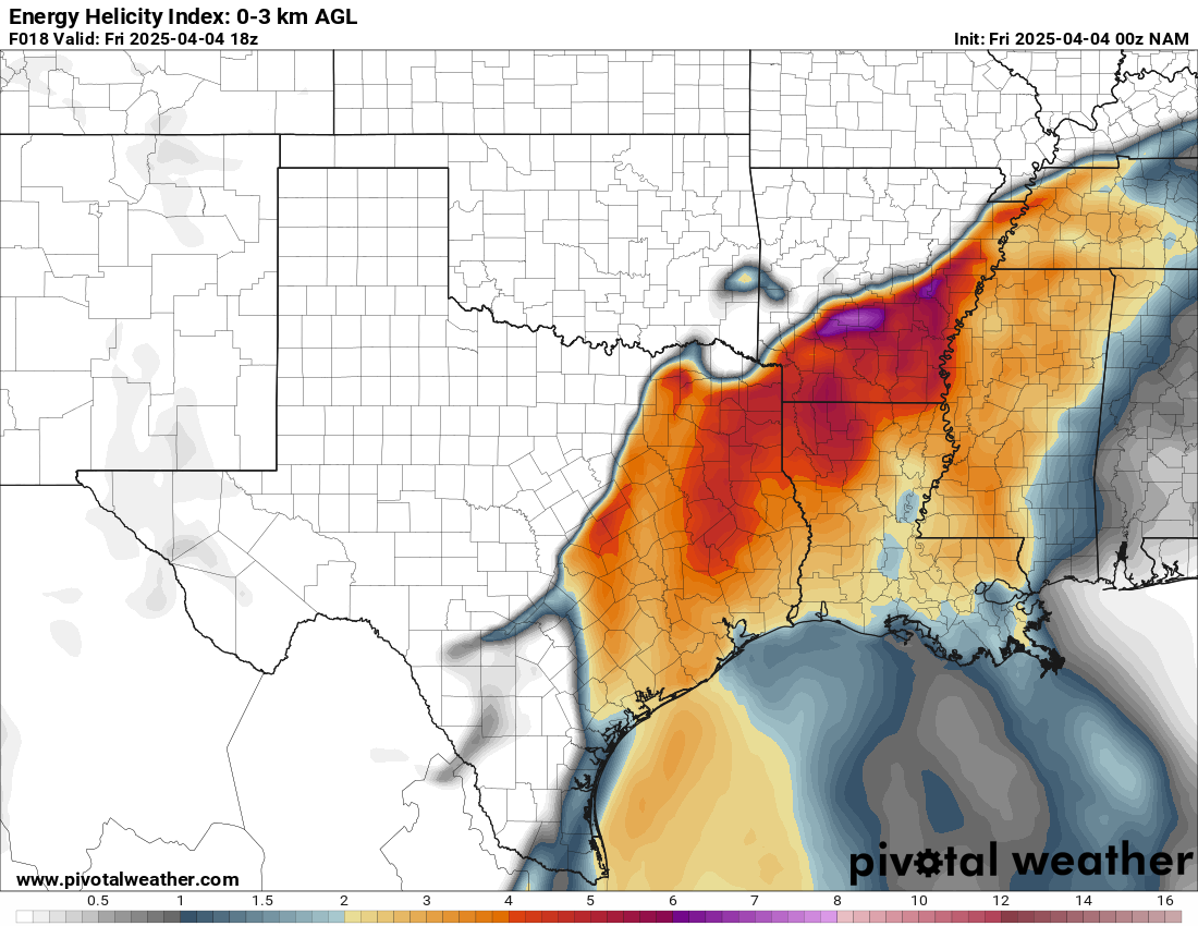
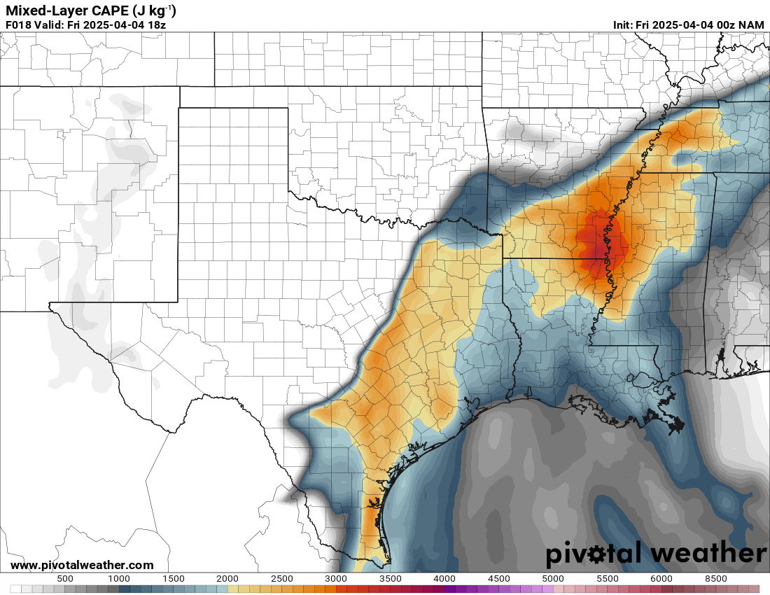
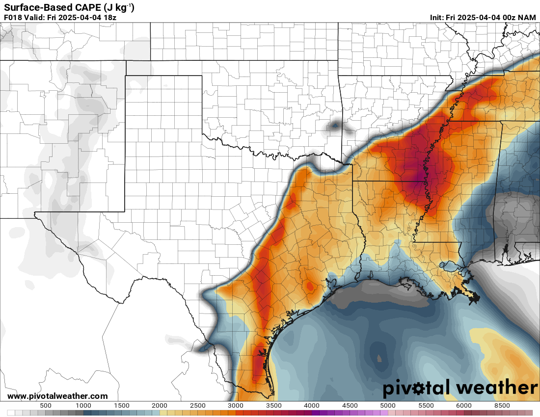
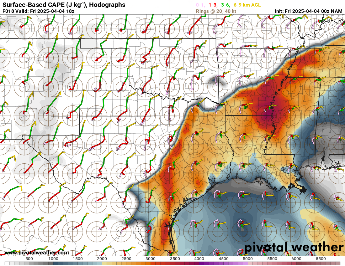
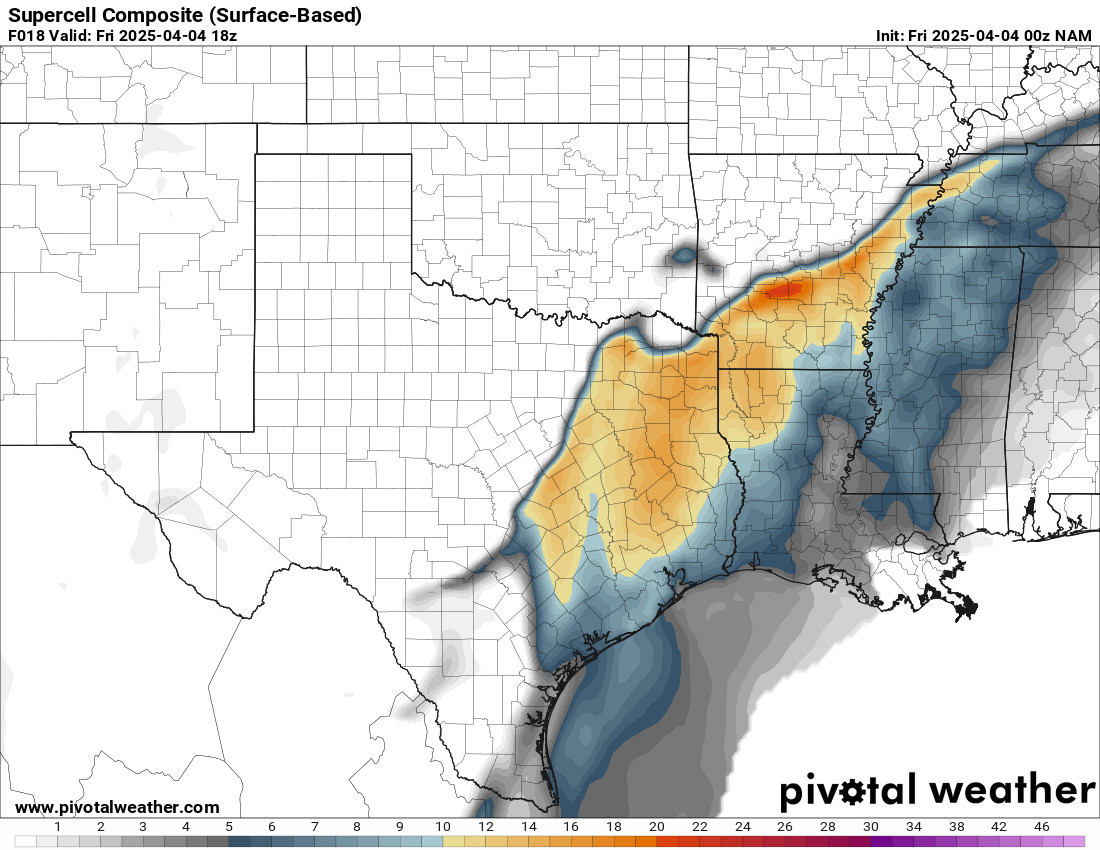
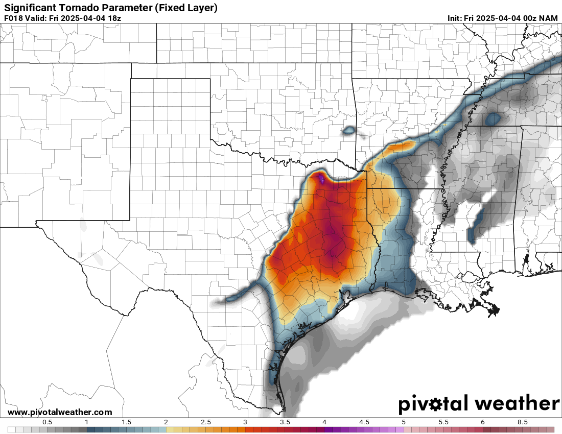
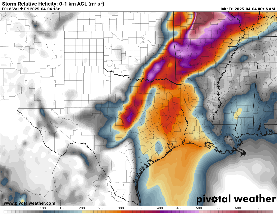
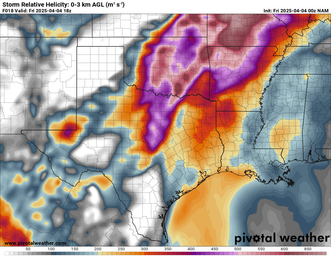
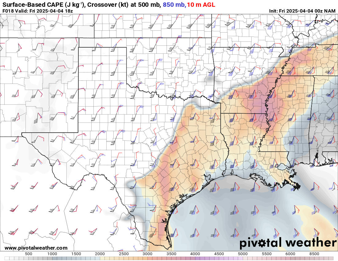
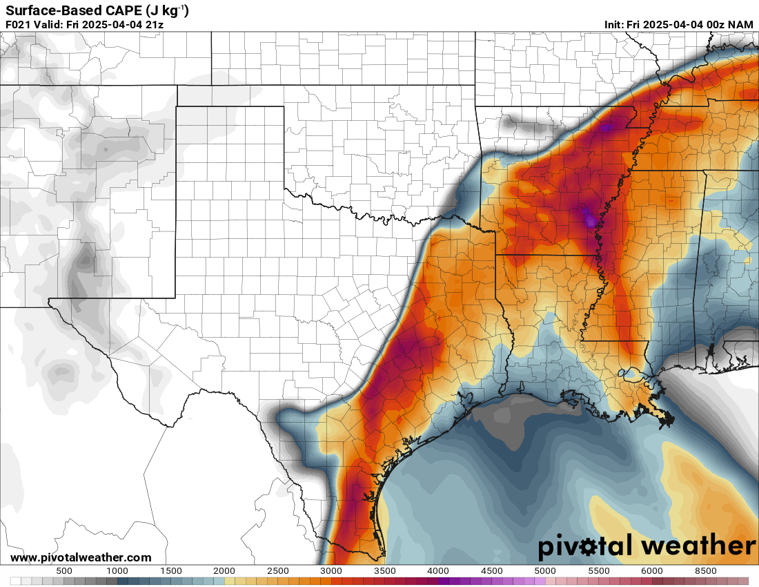
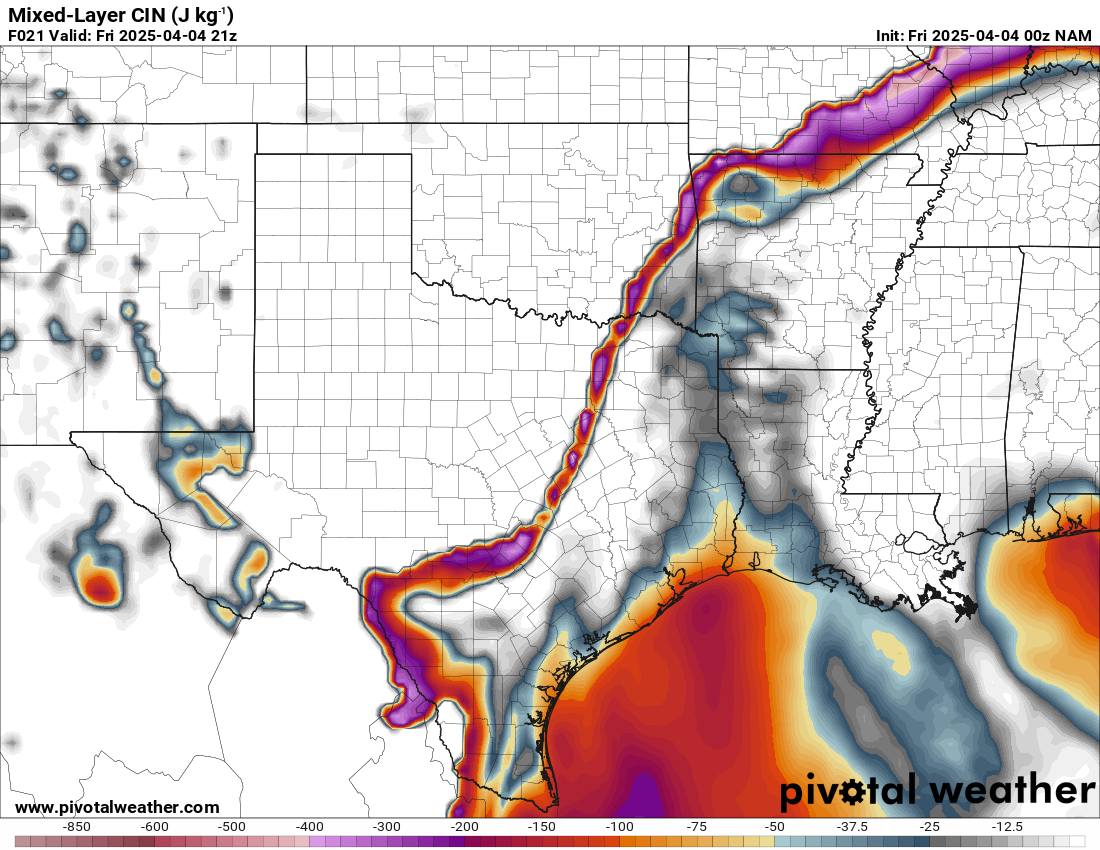
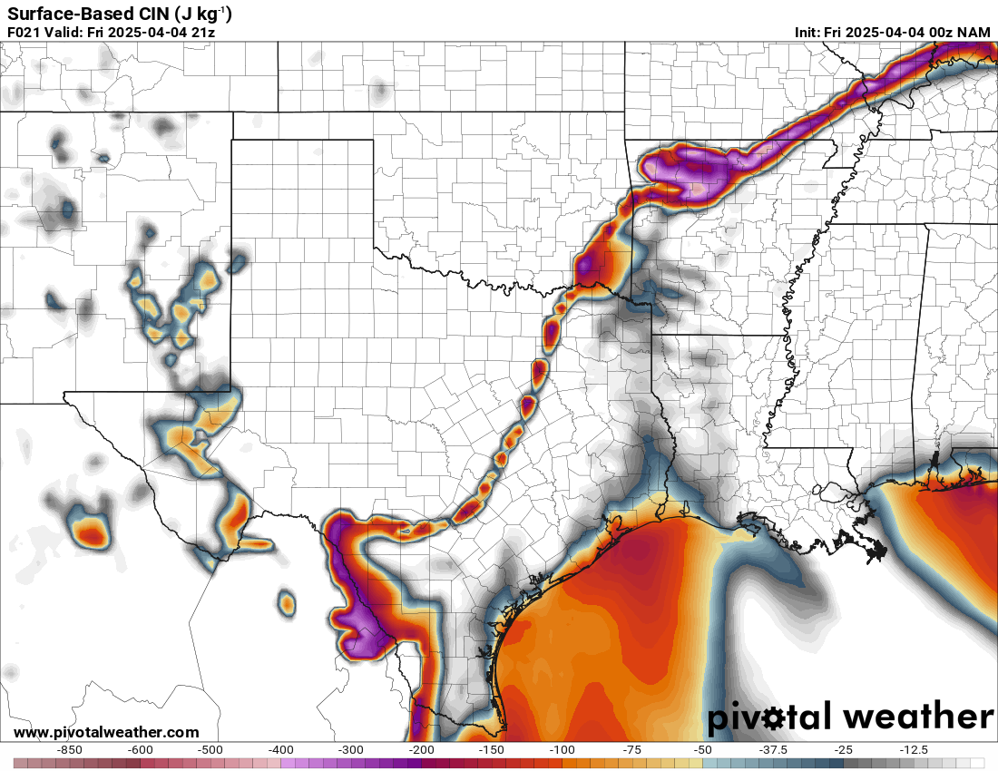
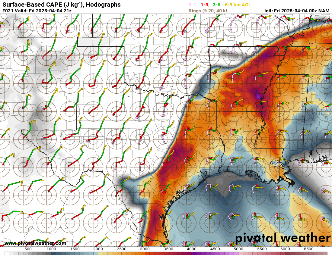
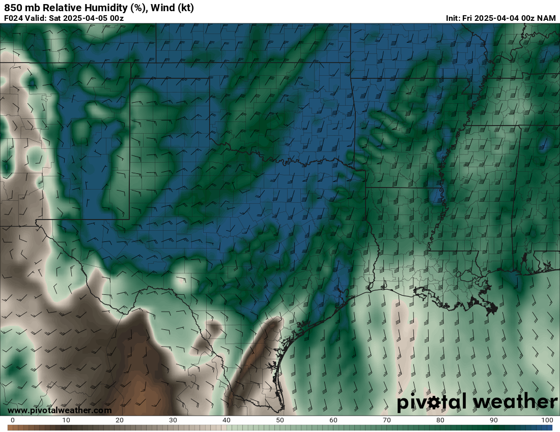
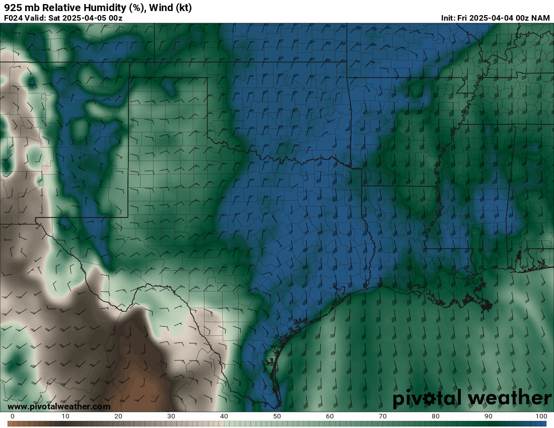
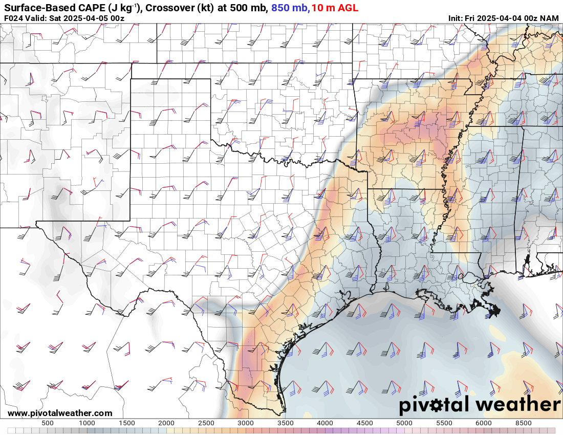
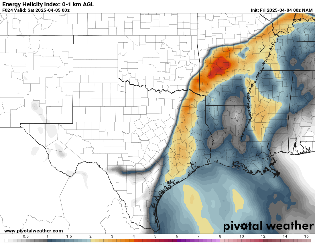
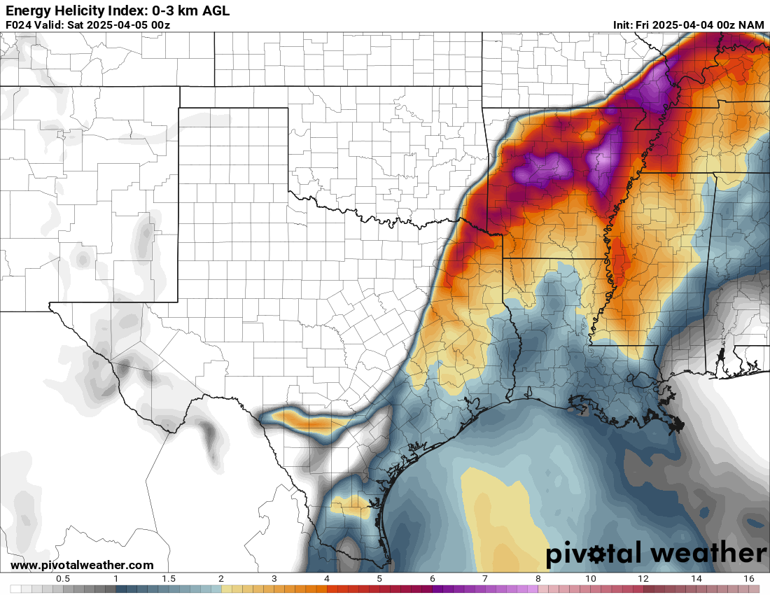
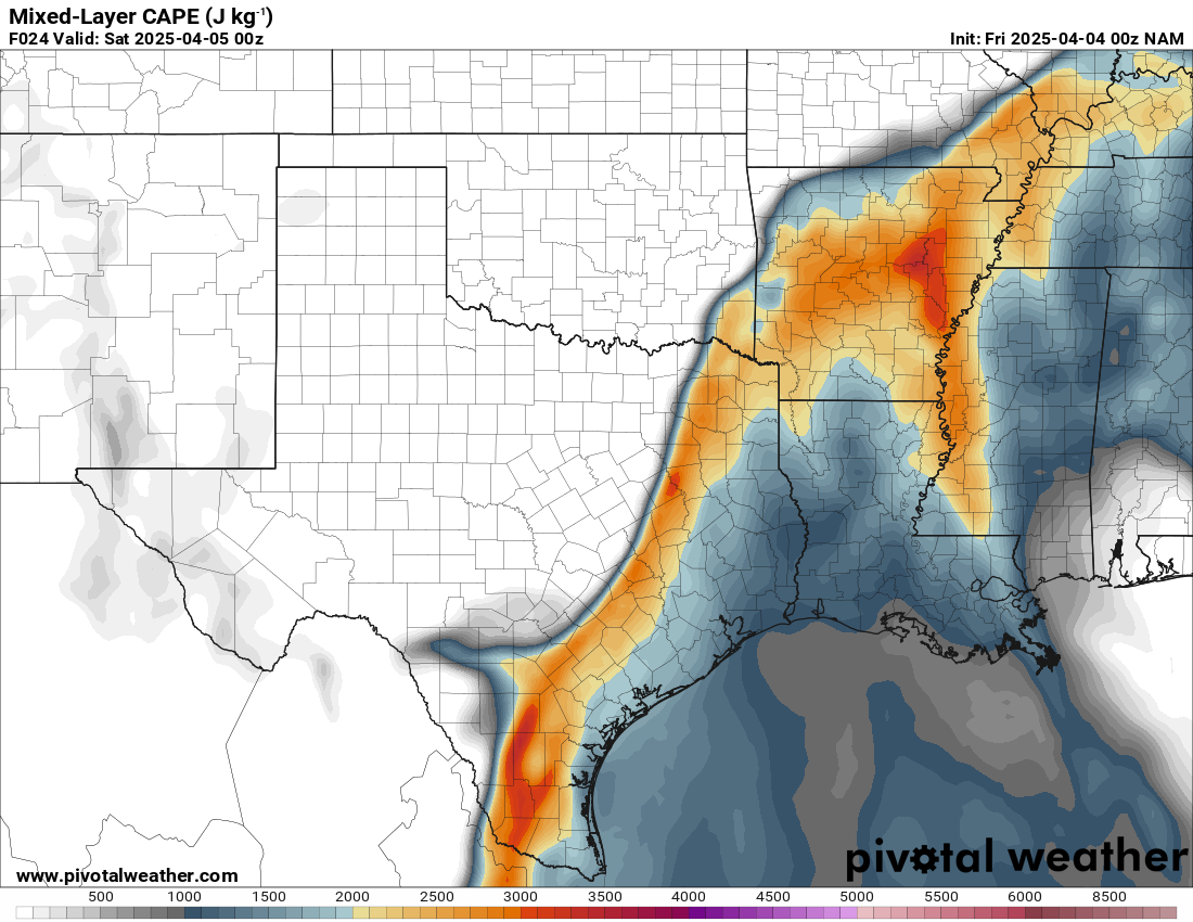
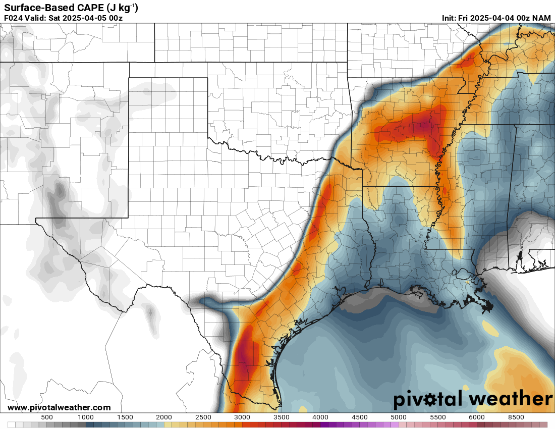
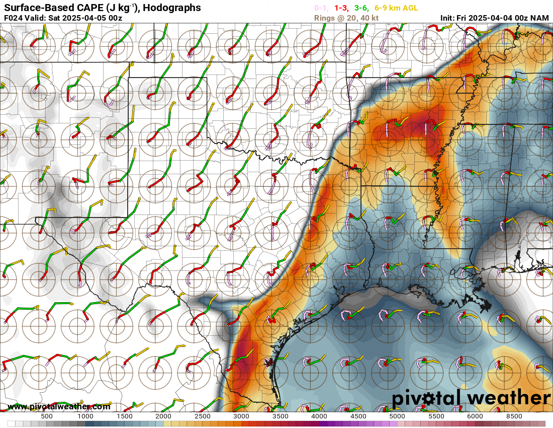
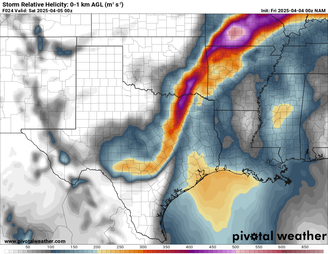
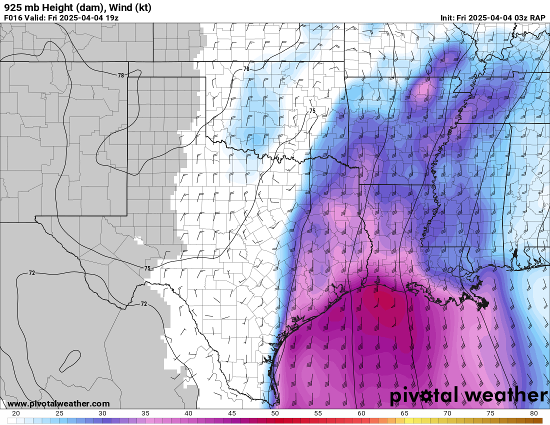
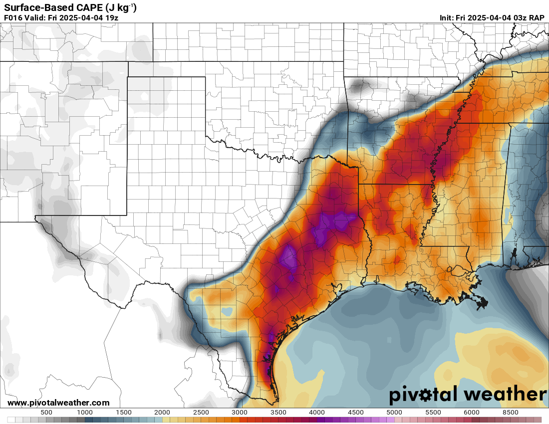
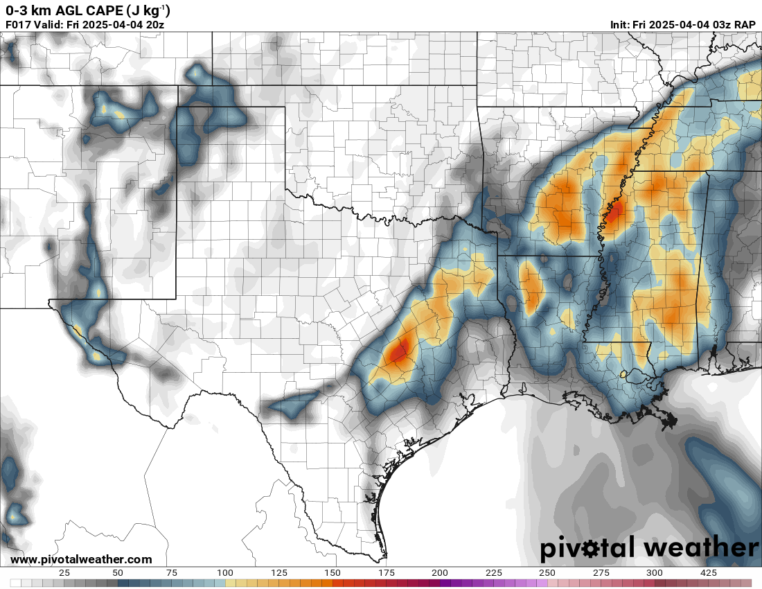
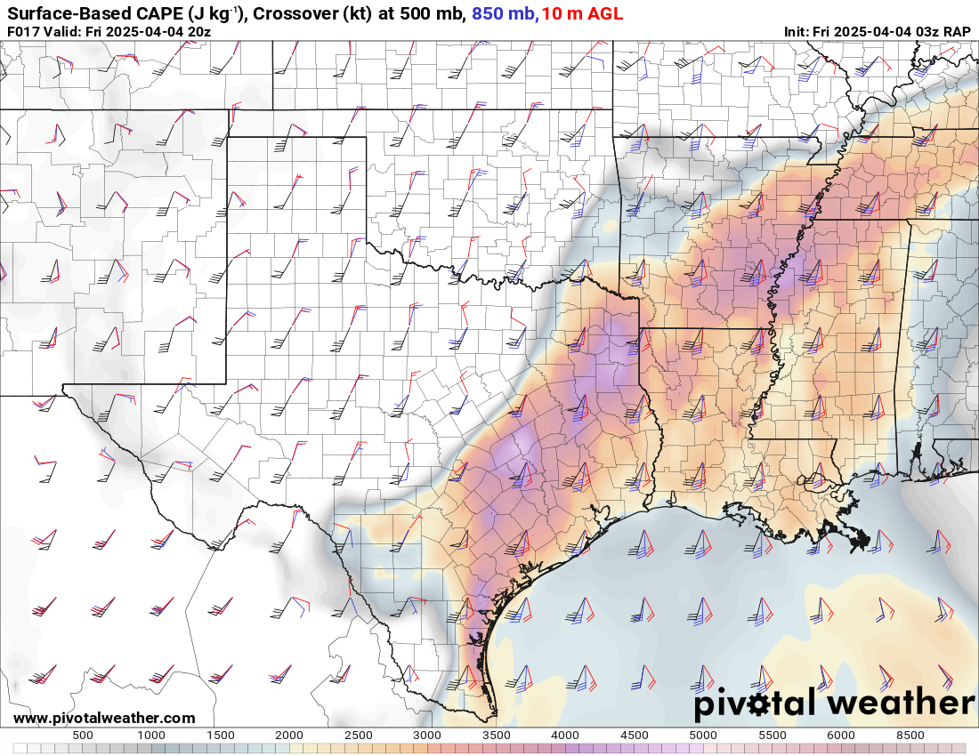
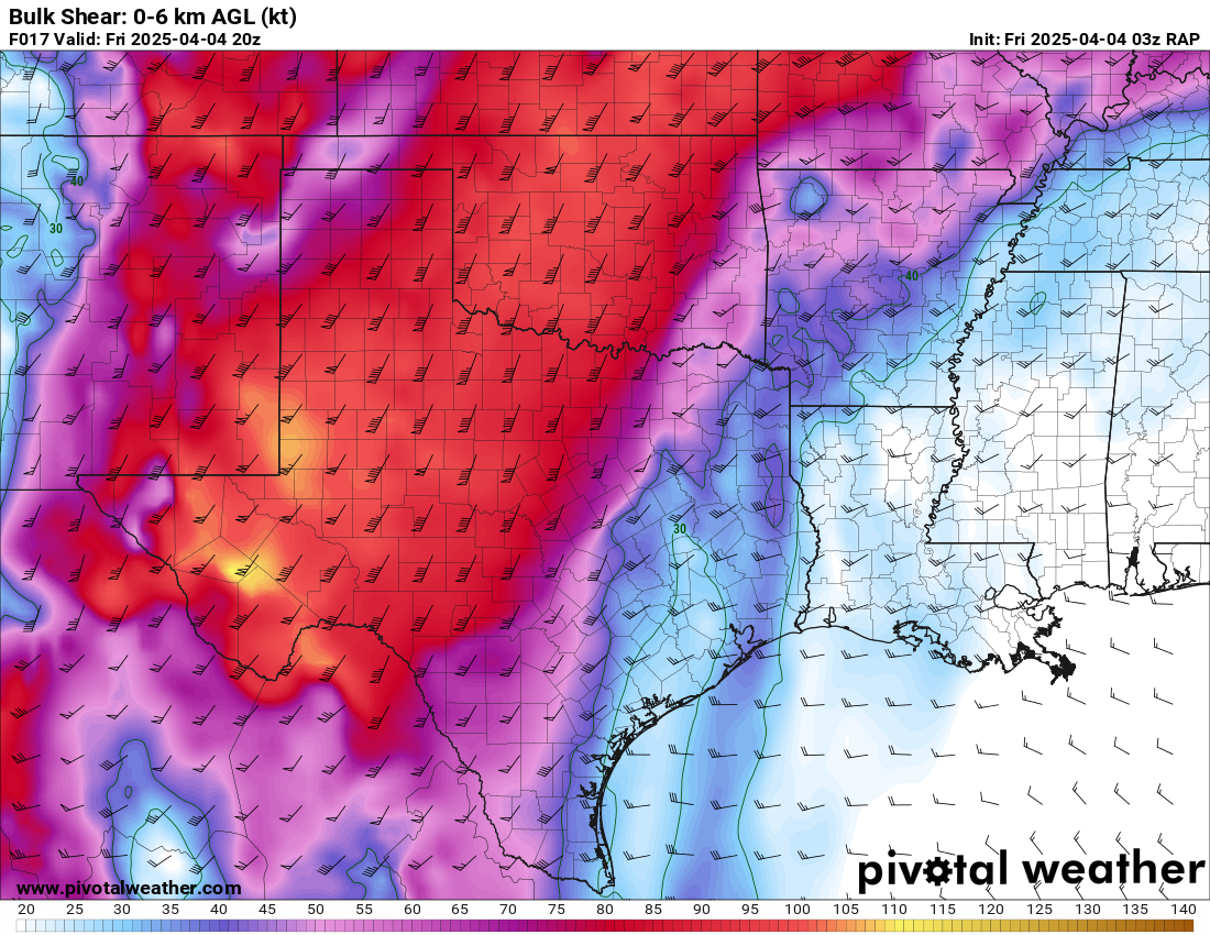
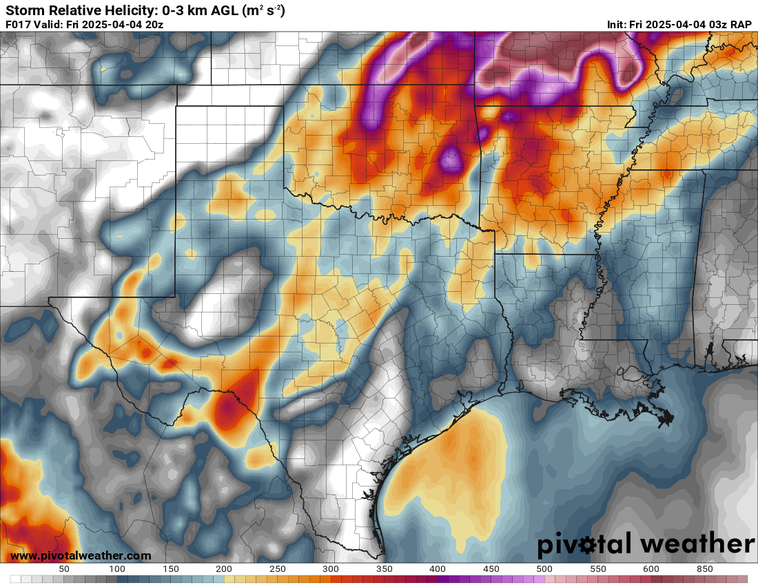
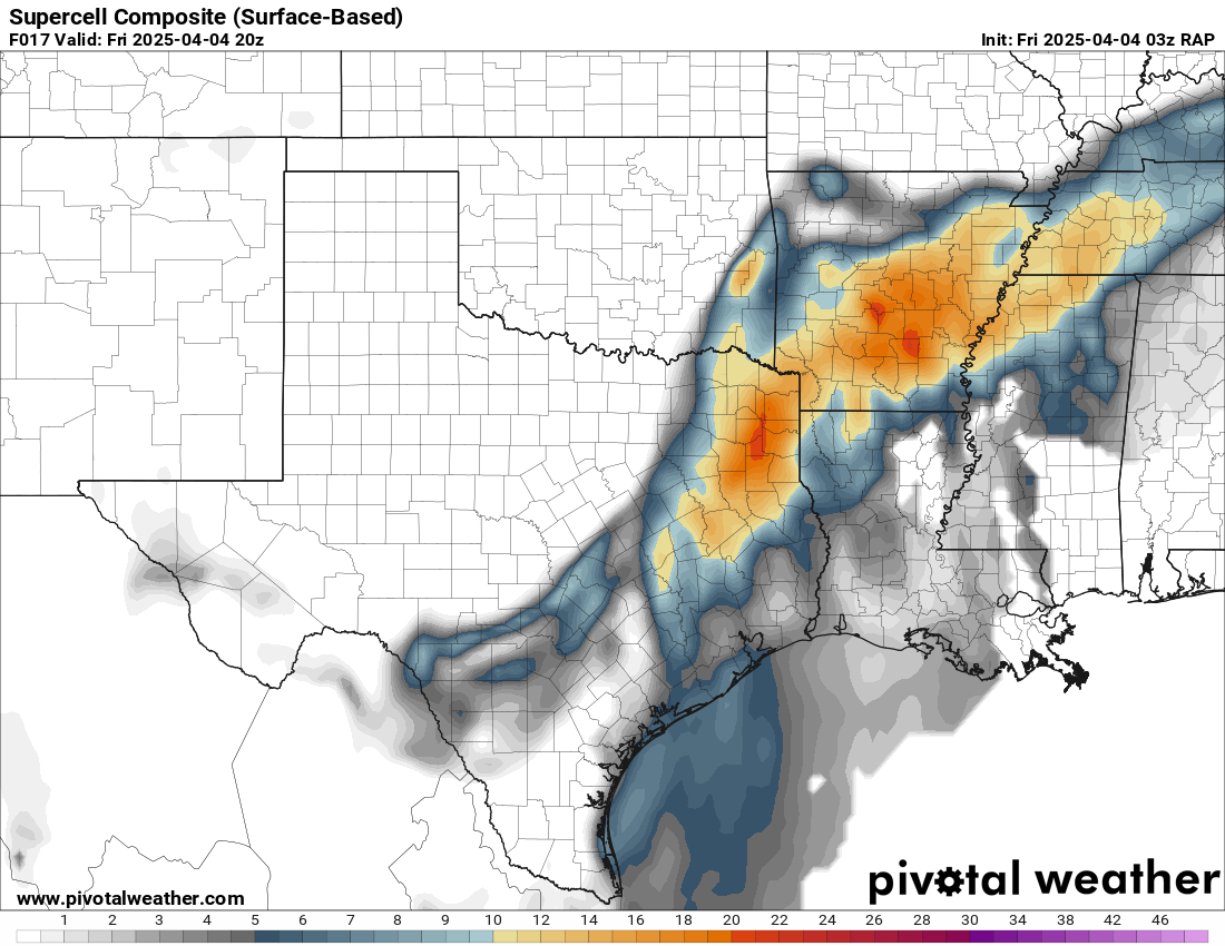
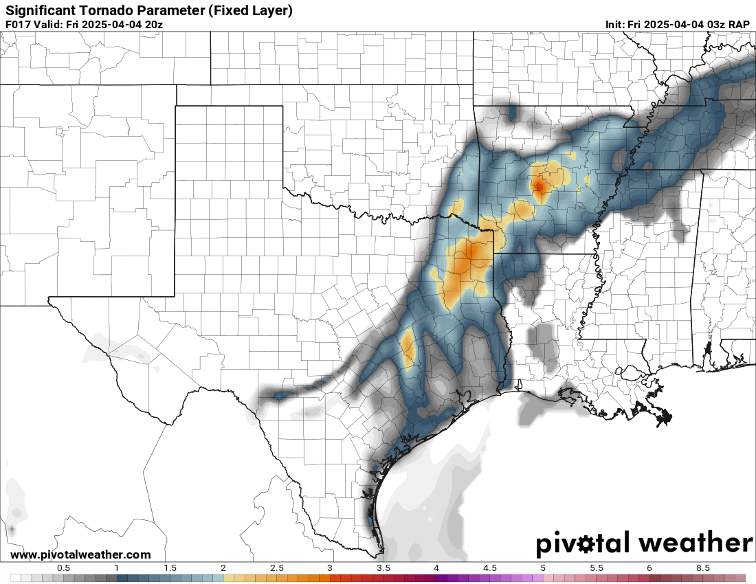
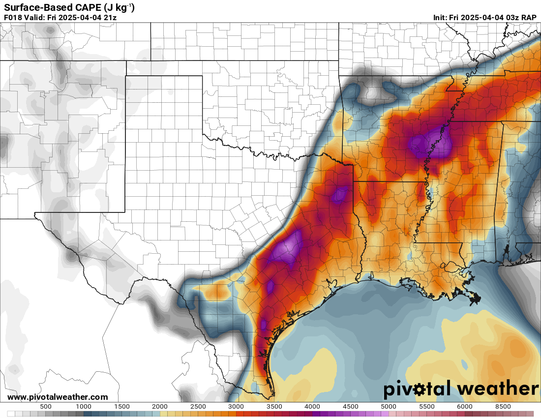
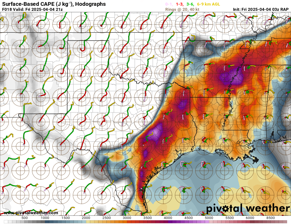
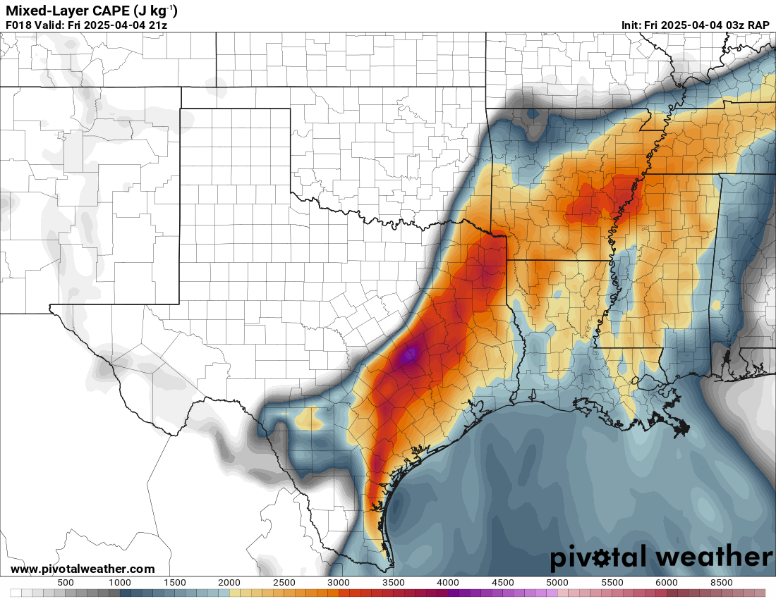
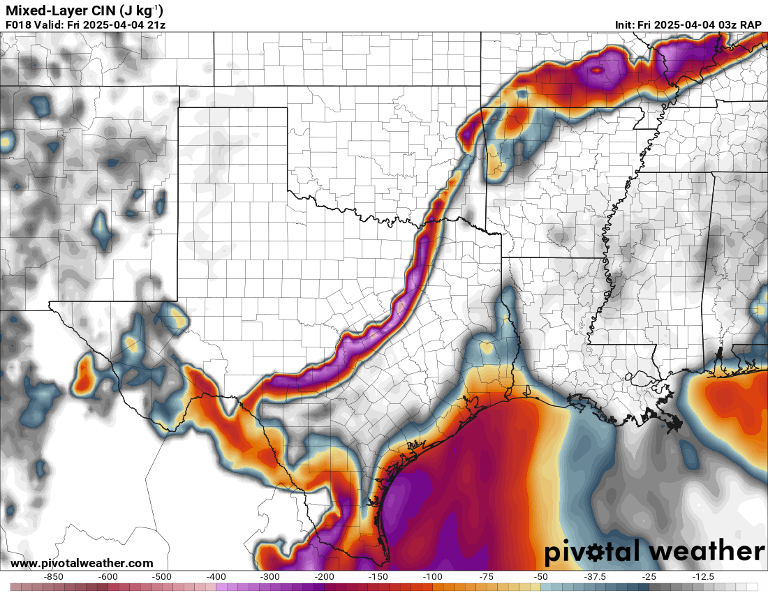
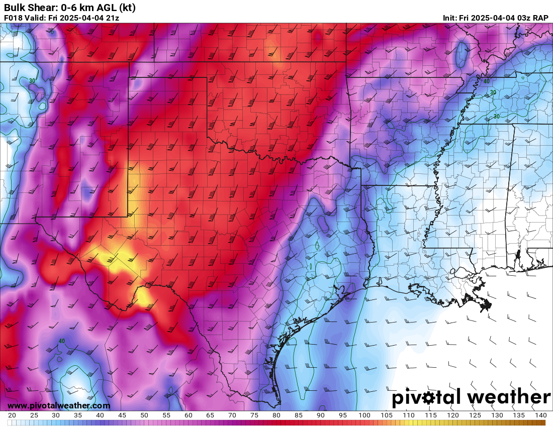
19Z Mesoanalysis data showed a largely uncapped environment southeast of the front characterized by 3000 MLCAPE and over 50kts of bulk shear with very large SRH values. Moisture on the 18Z Shreveport sounding was quite deep with preciptable water value (PWAT) of 1.74in

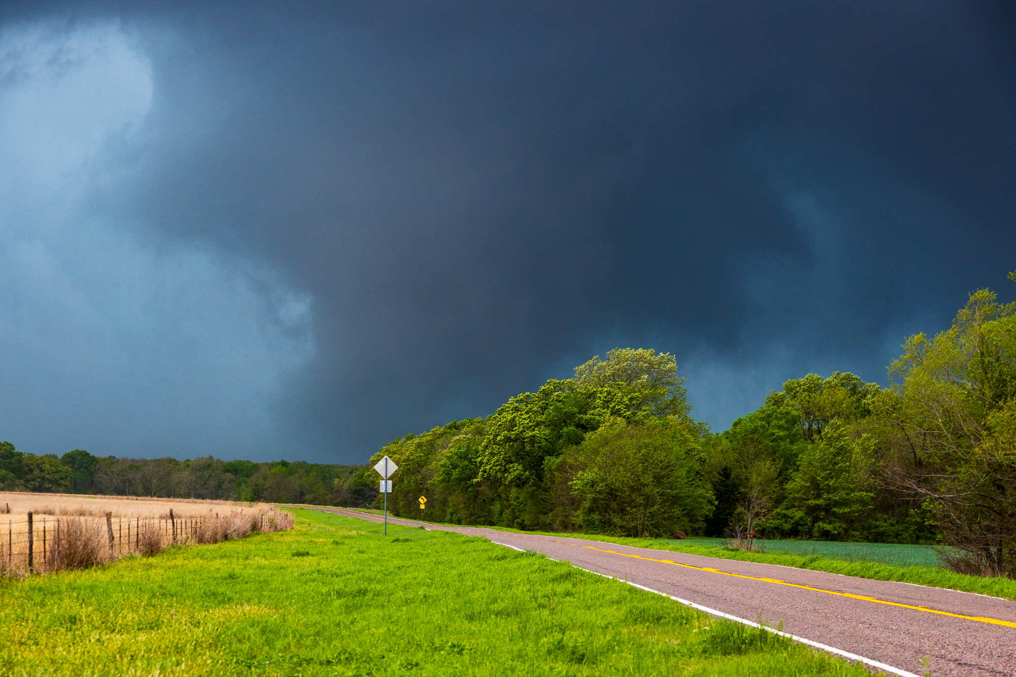
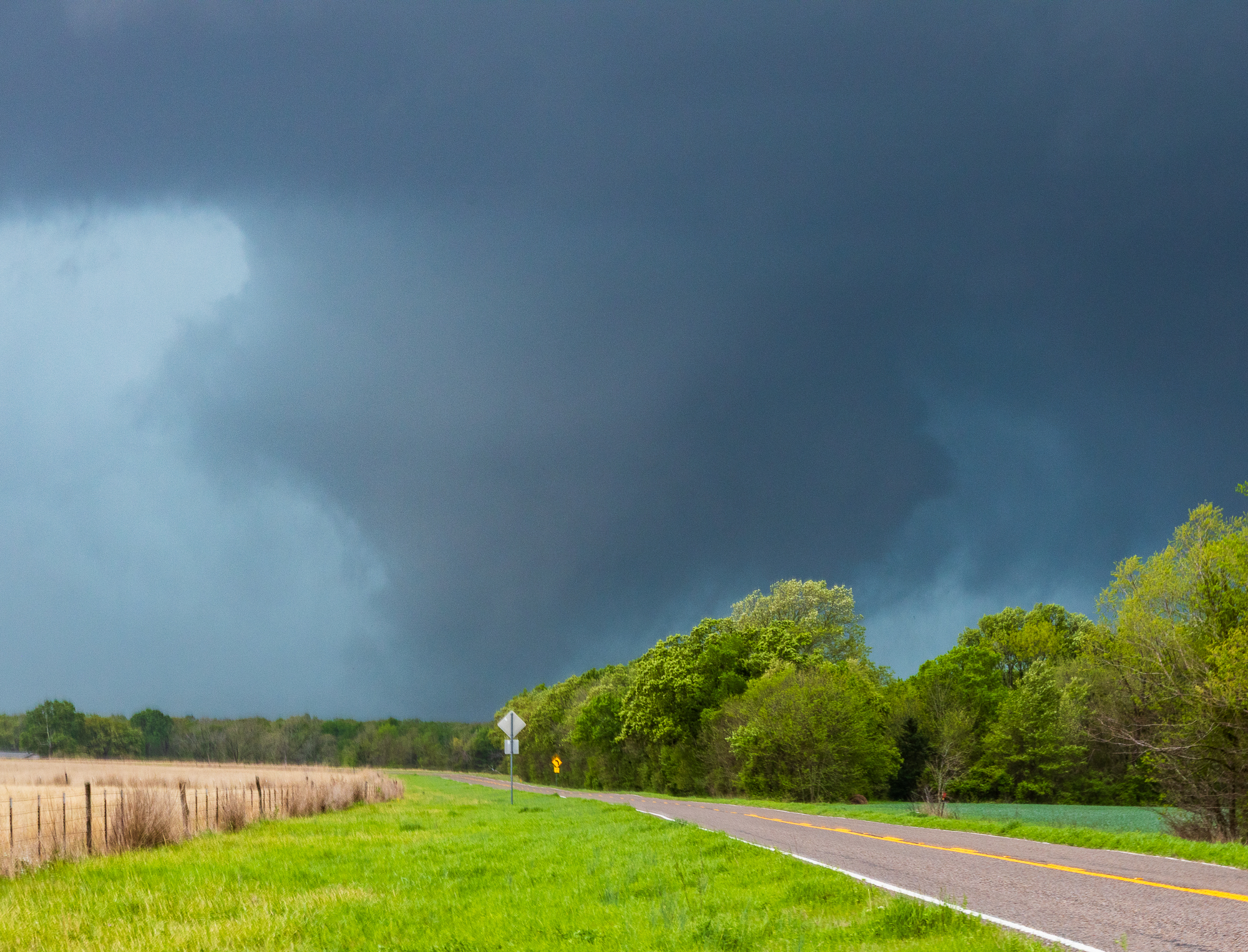
RFD Surge in Bogata
We took FM909 south towards Bogata. I made a specific note in the car about a clear spot we passed, remembering it for later. We managed to see the storm through the trees, but our view was highly obstructed. We were able to make out a strong inflow band from the northeast into the highly HP cage.
As we were observing the storm in Bogata, we found ourselves inside of the RFD surge on the south side of town. Expecting an impact, we decided to head back up the road we originally came down, FM 909. This would put us in a better position in regards to the path of the storm.
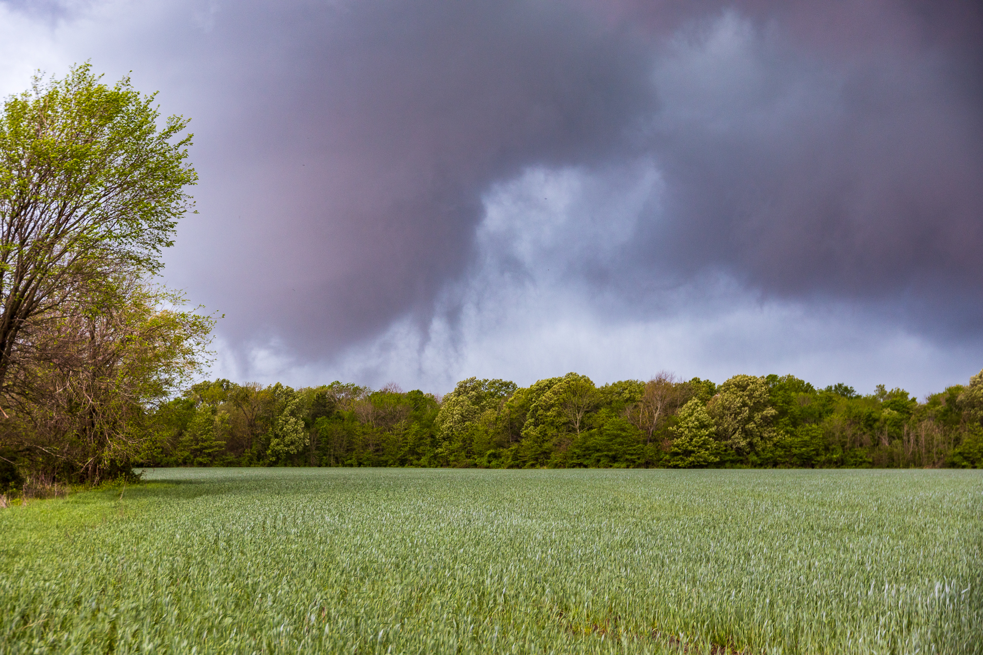
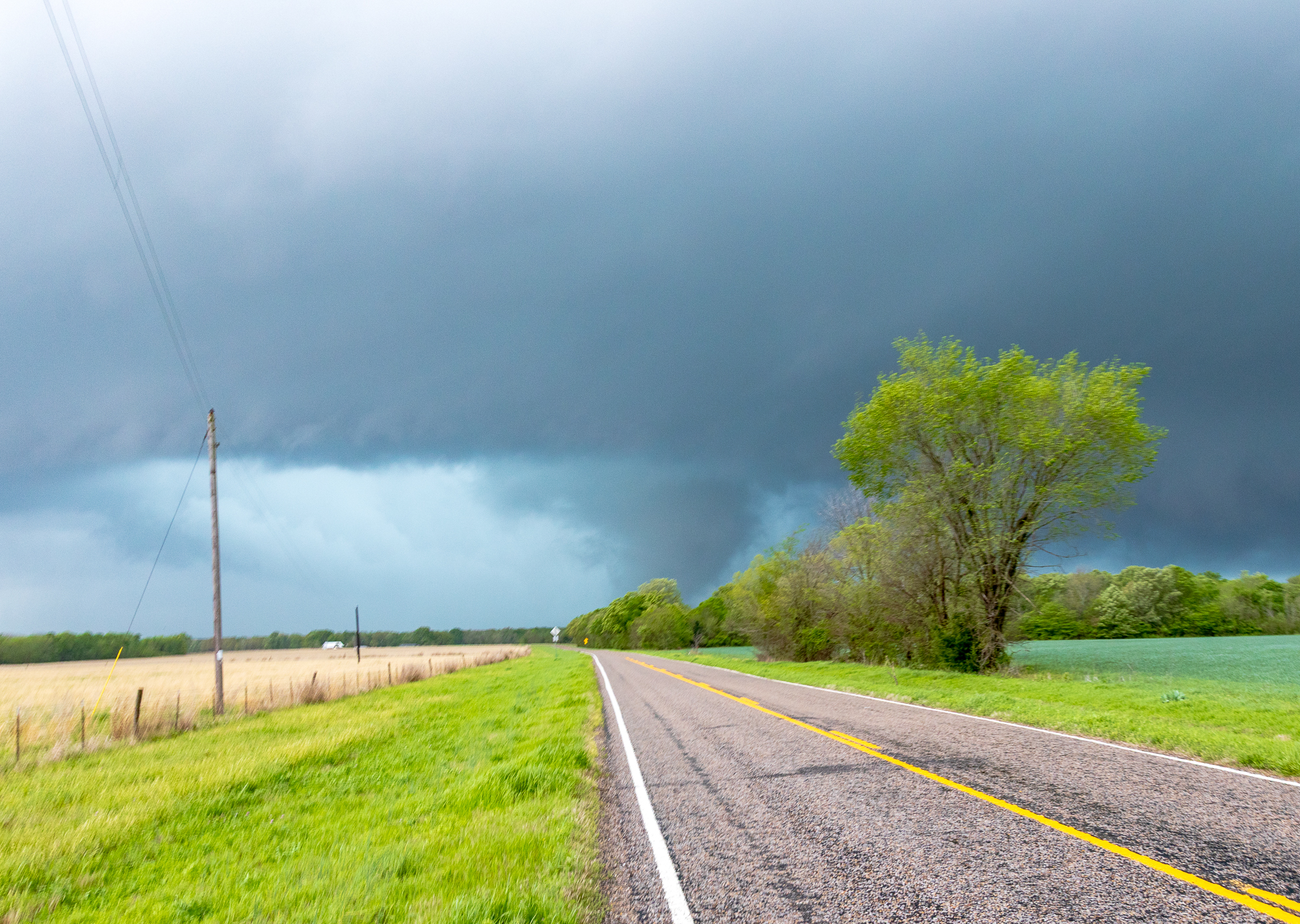
Clarksville Texas Tornado
As we found ourselves in the opening that I had previously made a note of, I noticed a cone in the rear view mirror. We turned around and could see the cone down. The cone grew in size as it got closer to us, eventually passing right by us to the north in the field. The RFD behind it was wet and we got smacked by it, but had turned the truck around in anticipation of our exit.
The Clarksville Texas tornado grew into a large, wide cone or barrel shape as it came right at us. The tornado would pass to the north of us in the field, giving us a perfect vantage point.

Falling in a mud puddle
As we were observing the tornado, I jumped out to grab some still images from my Canon EOS R camera. The settings weren’t right and my first few were blurry. I was able to snap a few good pictures before having to cross back to the other side of the road to get the tornado as it came by us. When it came time to jump into the truck, I turned around and inadvertently tripped. We were in a field ditch next to the road full of water and I fell onto my shoulder. I had mud on my arm and was soaked. I also had mud on both my still and video camera. Miraculously, no damage to the cameras or myself and I was able to get back into the truck.
Stopping in Annona
I needed to change into something dry so we stopped in a parking lot so I could quickly get into something dry. Amazingly, I packed a pair of clean clothes “just in case”. Movie level foreshadowing for the mud puddle incident.
As we spent some time in Annona, the storm that produced the tornado sped away from us into Oklahoma. We were waiting to get on the next storm down, which had a good looking couplet near Talco. We dropped south on FM44 looking for a vantage point, but had a hard time finding any clearing in the trees. FM1701 was our east option, and we took that over to DeKalb before deciding to drop south another storm. The storm in DeKalb was outflowy with a whales mouth feature.
Dropping south
We continued south across I-30 to the next storm near Daingerfield. We’d have to adjust east to Hughes Springs as the storm came at us. With a significant couplet over Lone Star, I was expecting we may see another tornado. That was not to be, with a very high precipitation supercell coming at us.
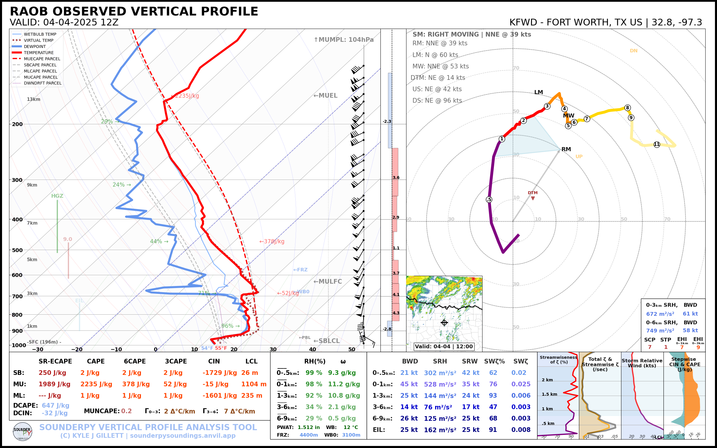
00Z Observed Soundings
Calling it in Hughes Springs
As we waited for the storm in Hughes Springs, it appeared to have very good rotation from radar. The base of the storm was obscured by the HP RFD wrap around. Another chaser was nearby with a drone and we got a look at the storm. Very good inflow into the notch, but completely shrouded in rain.
We let the storm overcome us in Hughes Springs before making a run east out of town. We gave up shortly after that, heading back home. All of the storms had seemingly become outflow dominant. We arrived back in Norman a little after 11pm.


