Storm Chase Details
Miles Logged: 451
States Chased: OK
Tornadoes Witnessed: 3
Highest Wind Encountered: 80 MPH


Spotter Network Reports: 4
- Tornado 3 miles W of BRIDGEPORT, OK
- Tornado 3 miles W of BRIDGEPORT, OK
- Other 7 miles NE of CEDAR LAKE, OK
- Tornado 6 miles NE of UNION CITY, OK
Severe Reports: Storm Reports
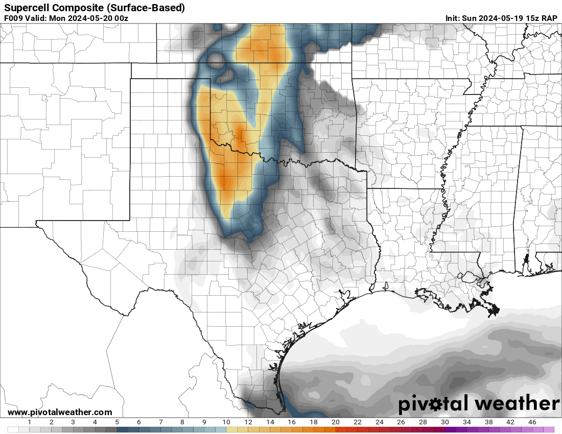
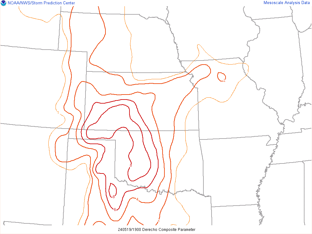
Expectations were not very high. It looked like we’d see a derecho up in Kansas and possibly a storm or two dropping hail in Oklahoma. However, this would be a top tier supercell, dropping gigantic hail and multiple photogenic tornadoes. The structure also ranks up there as well.
Forecast
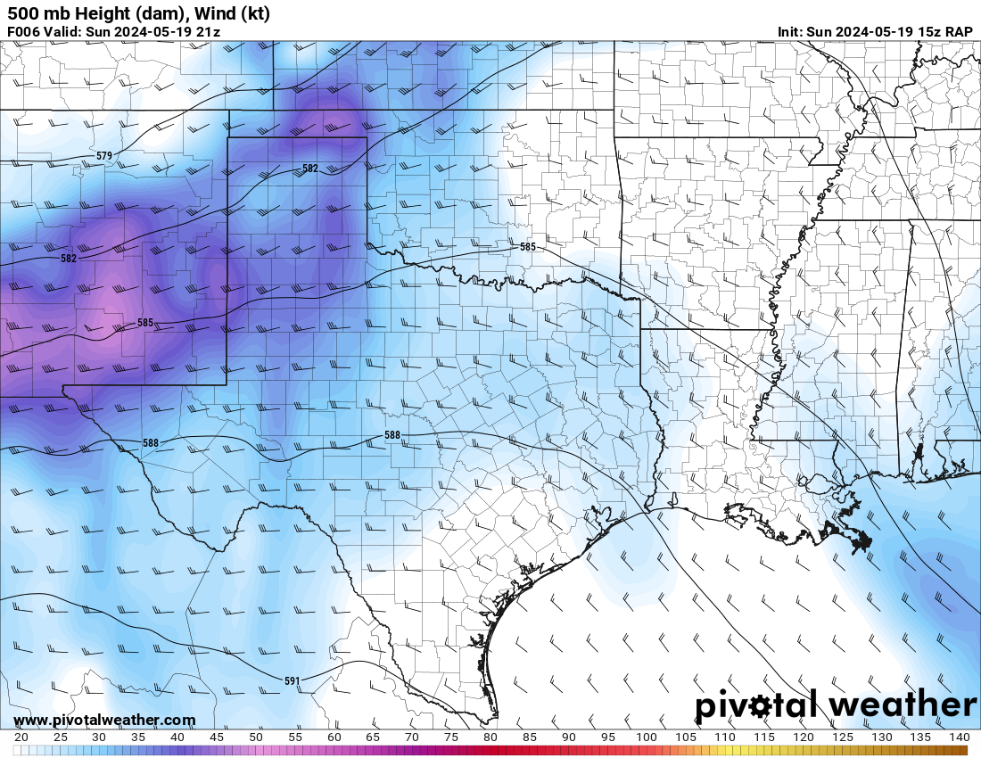
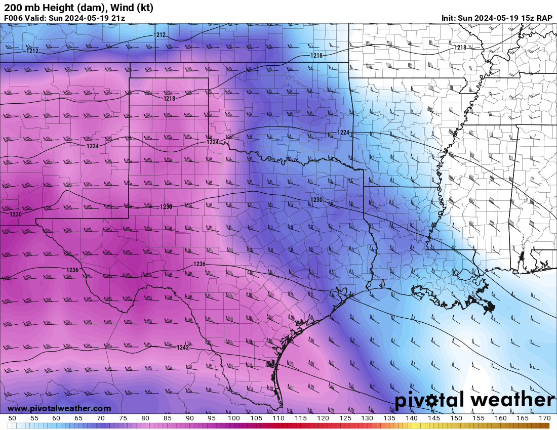
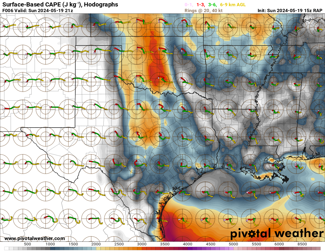
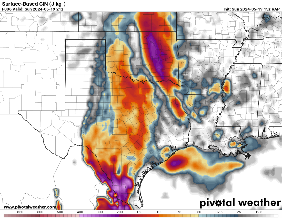
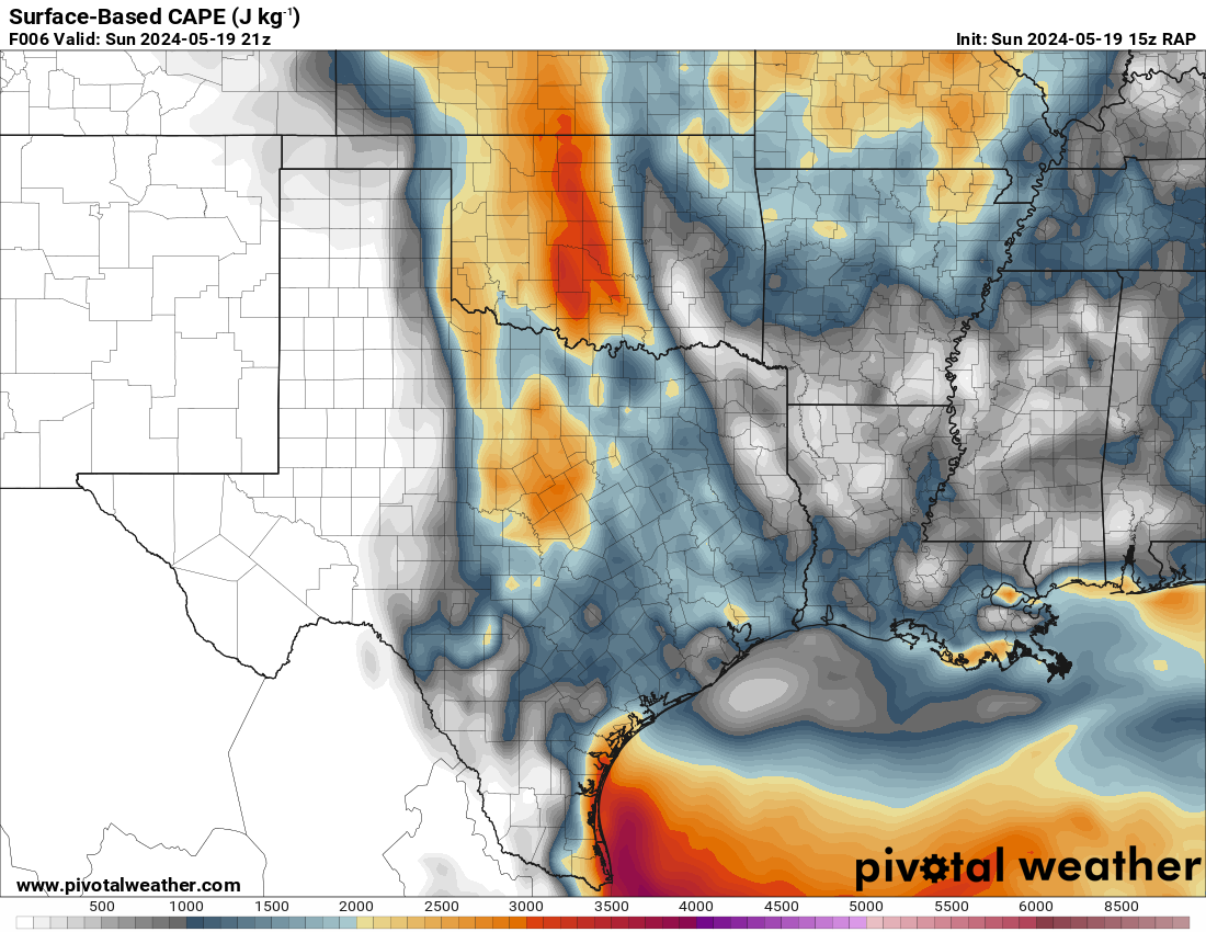
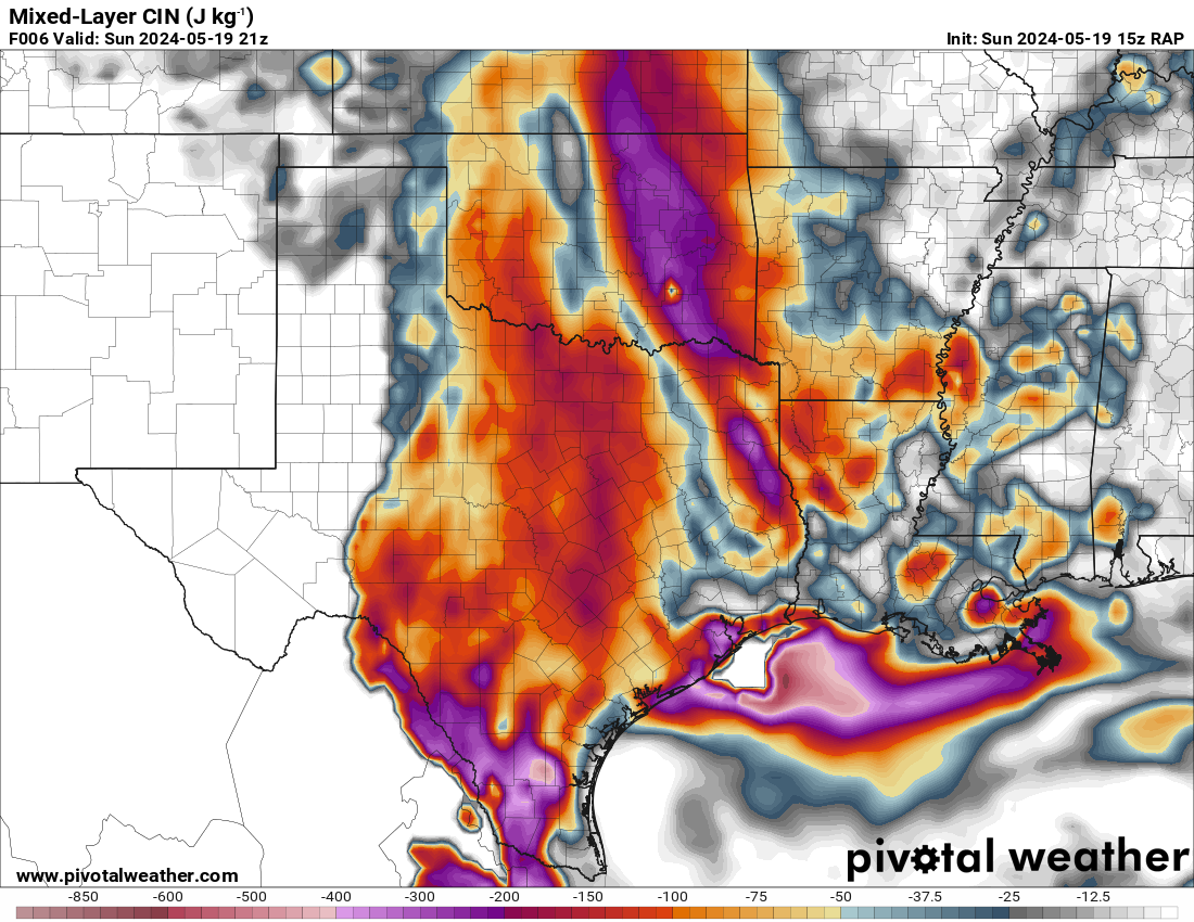
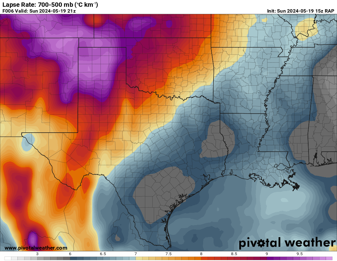
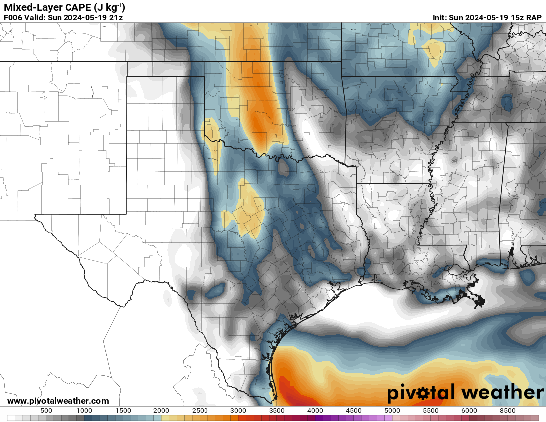
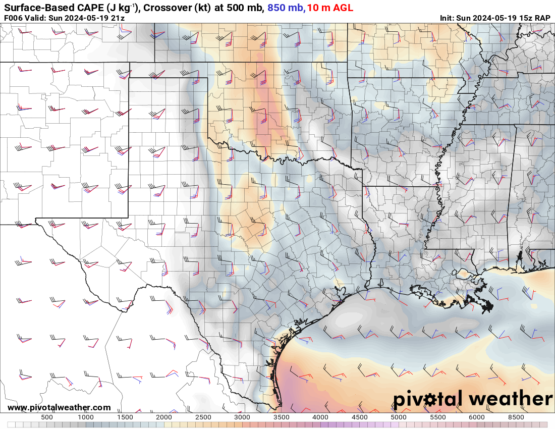
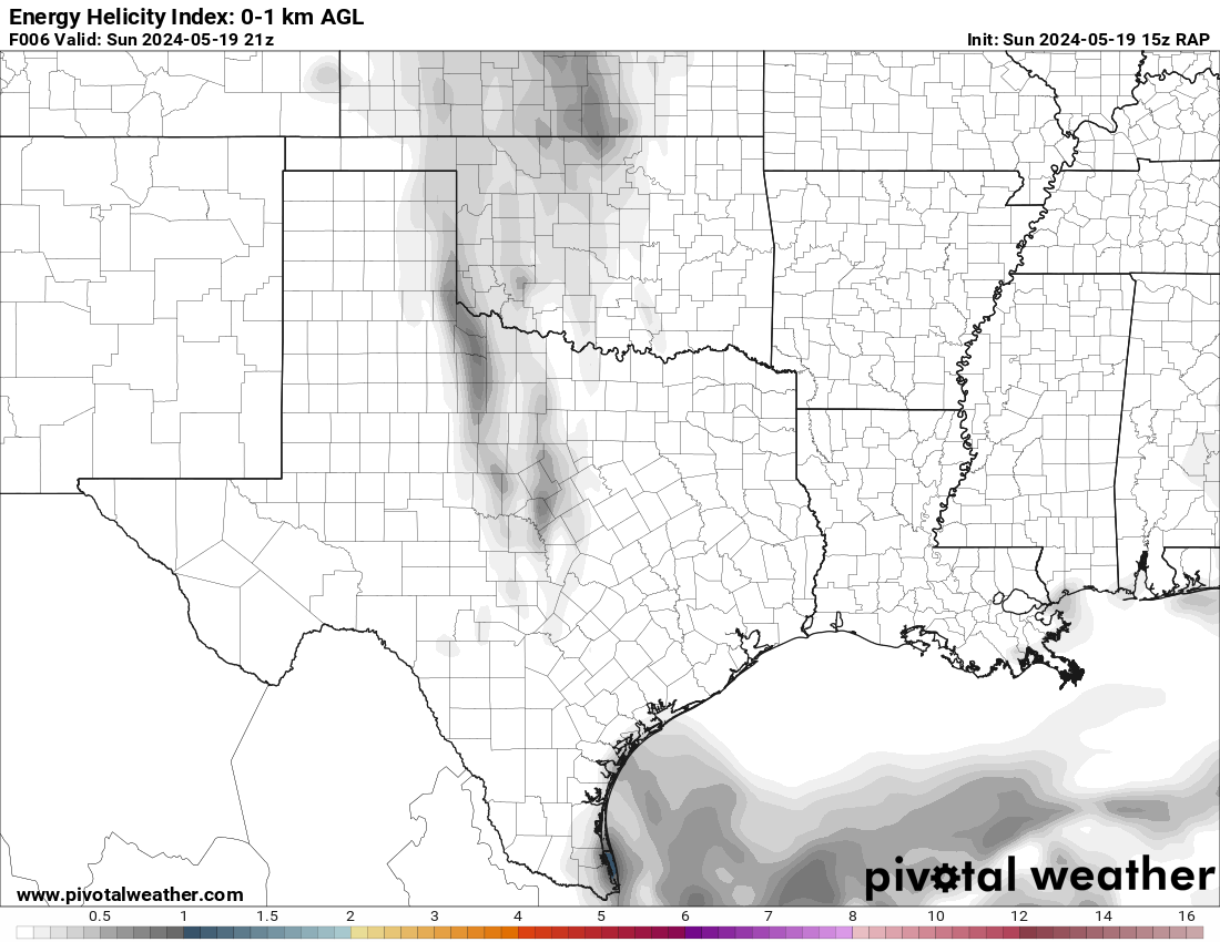
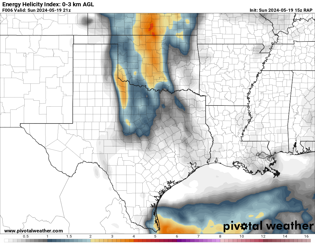
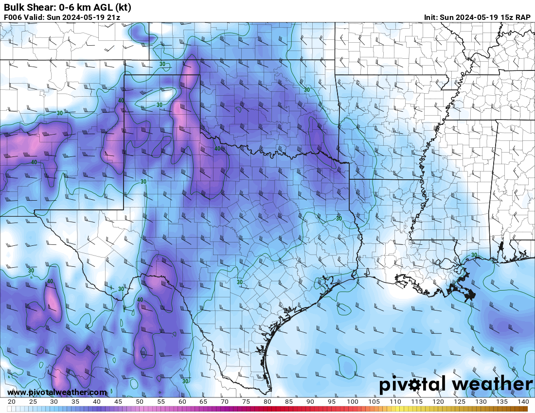
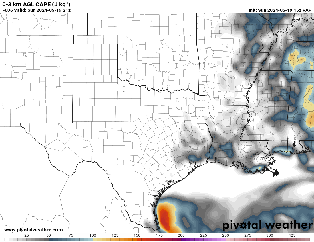
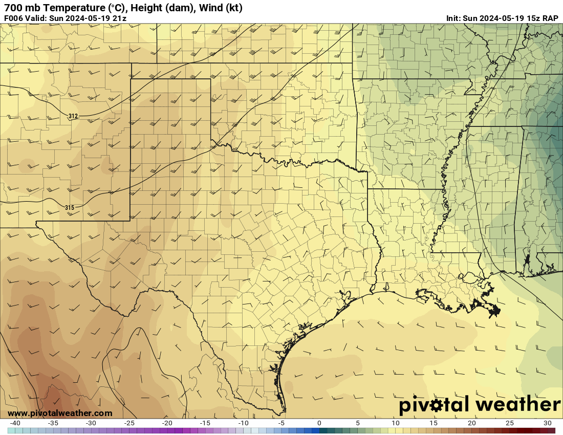
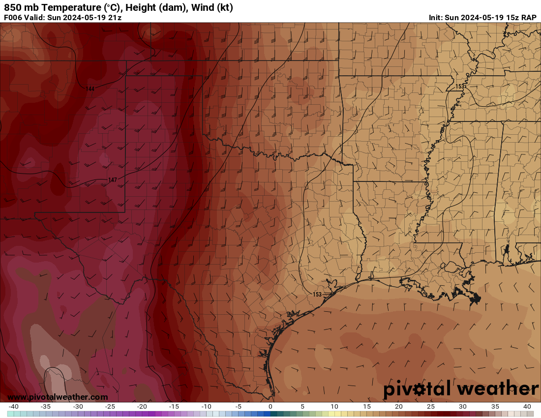
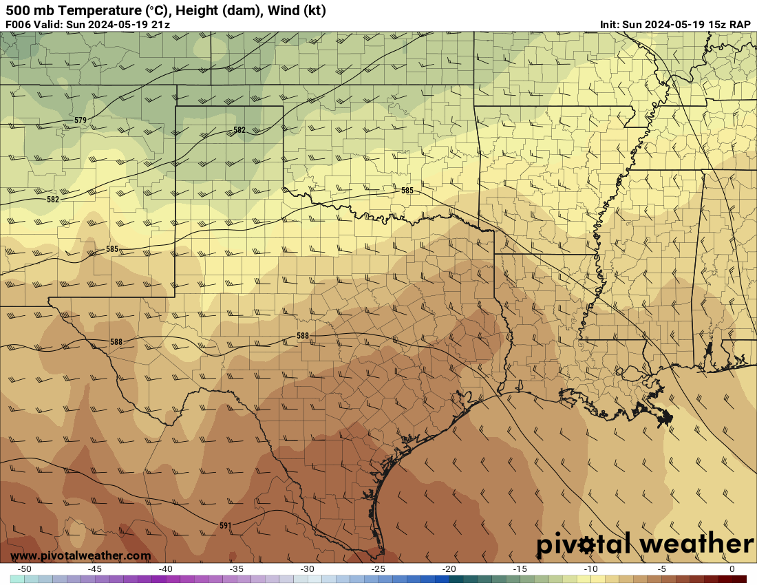
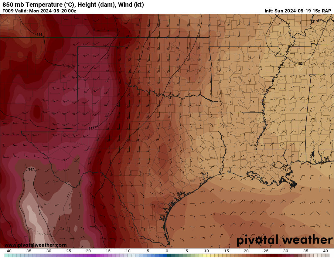
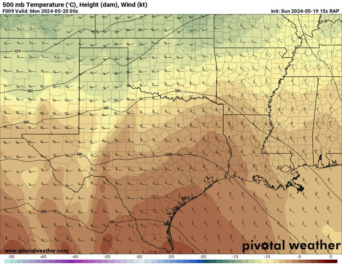
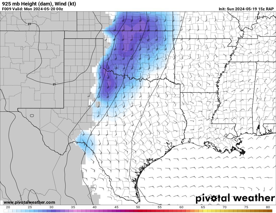
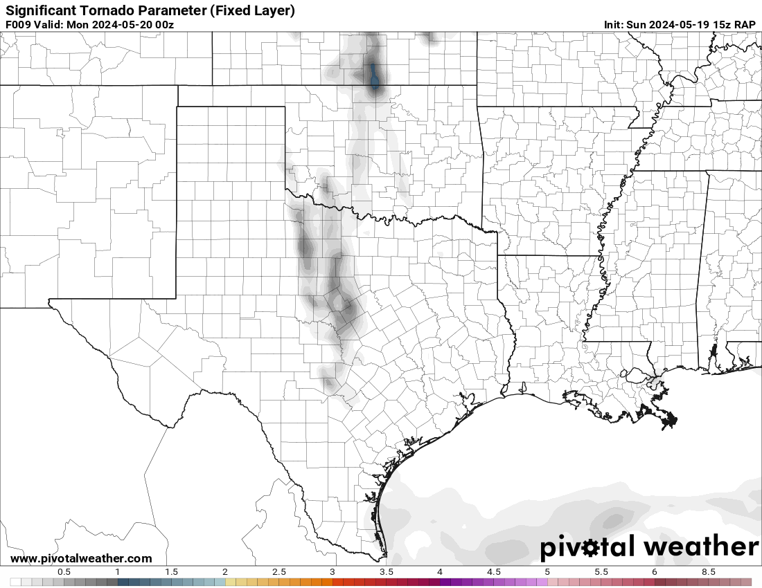
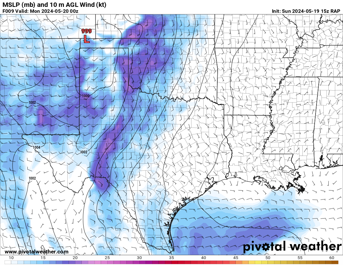
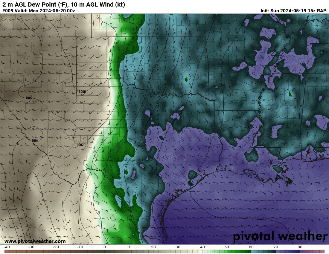
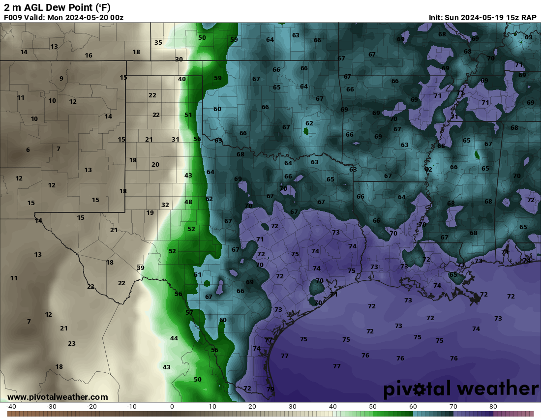
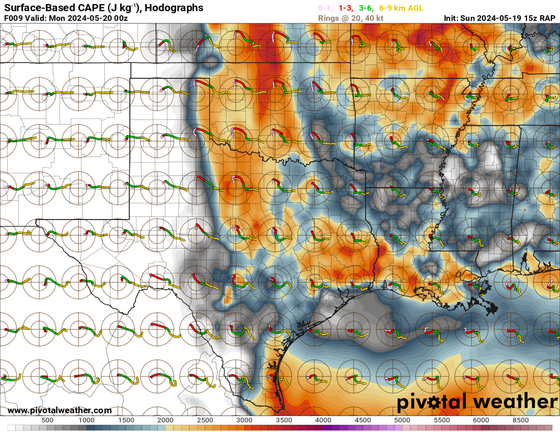
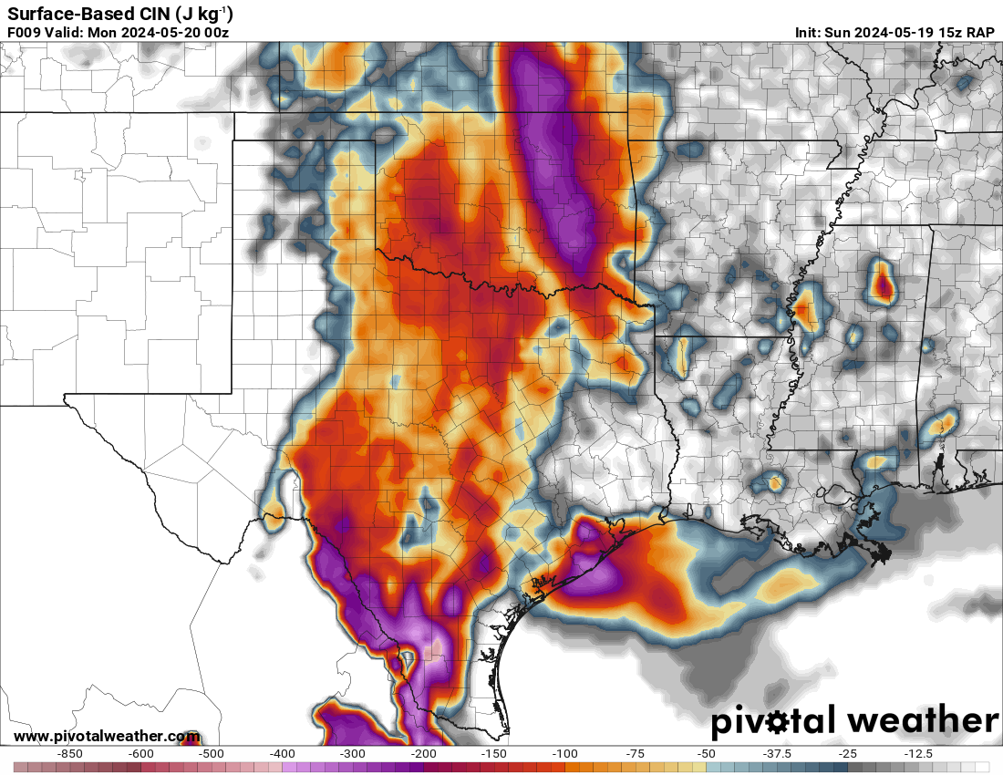
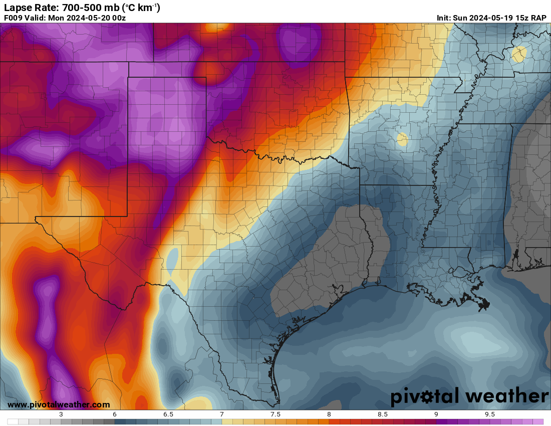
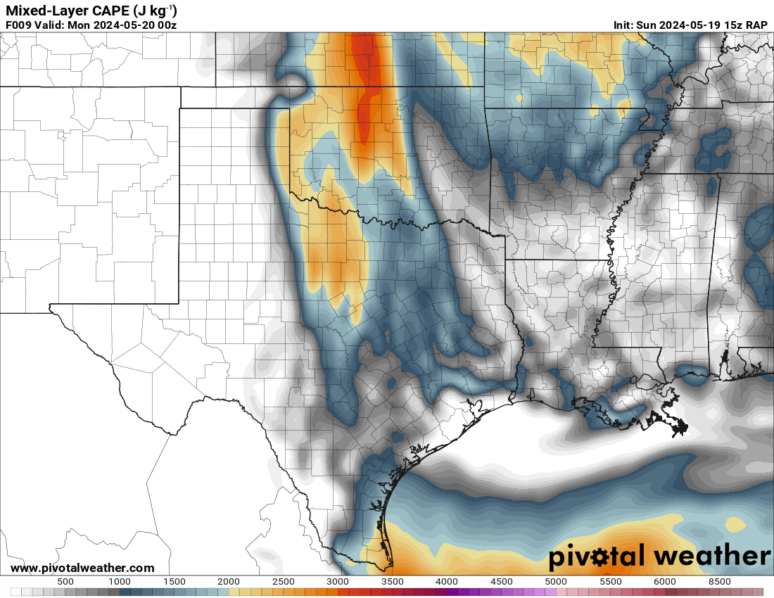
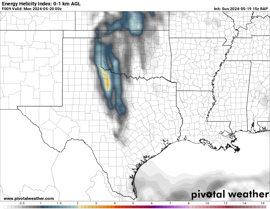
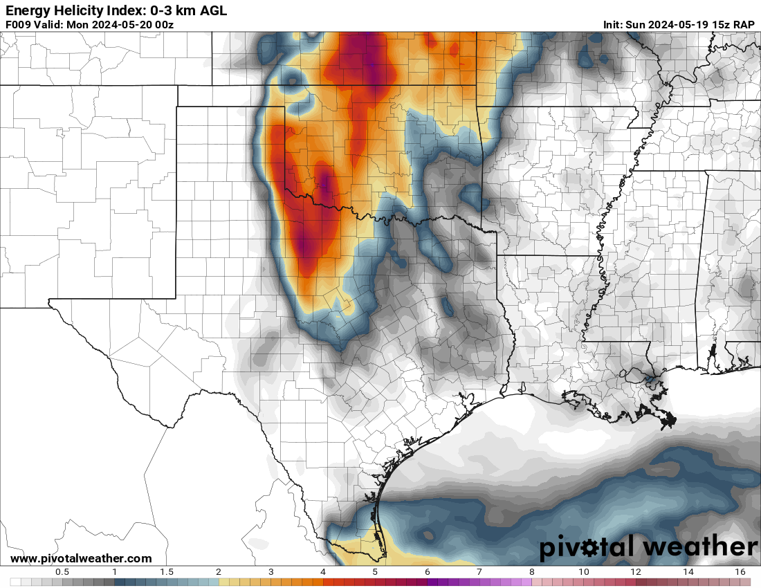
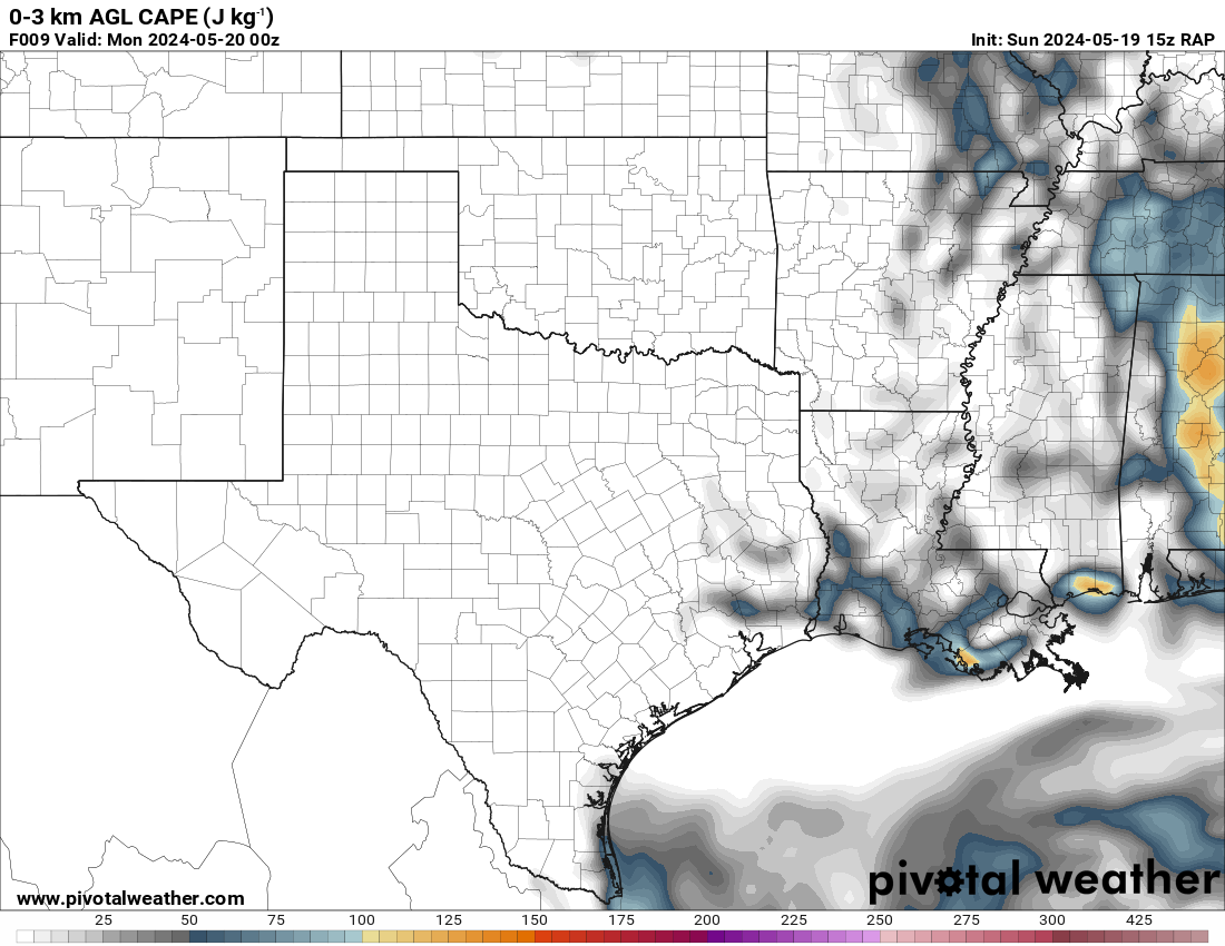
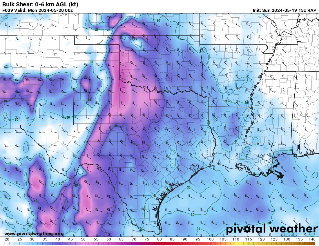
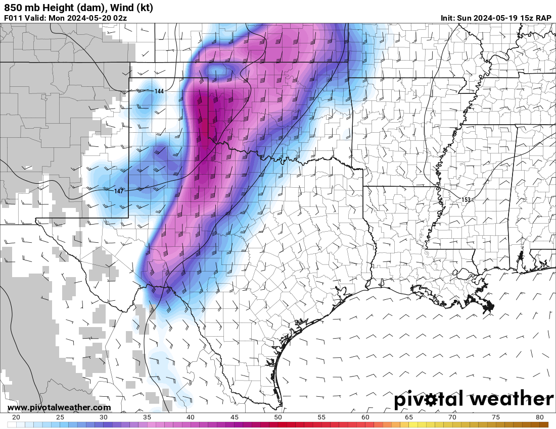
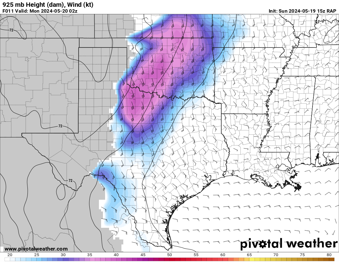
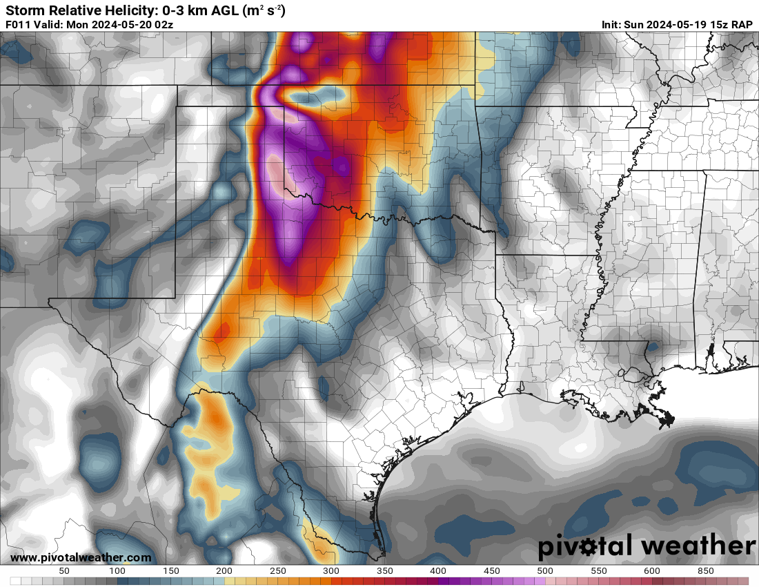
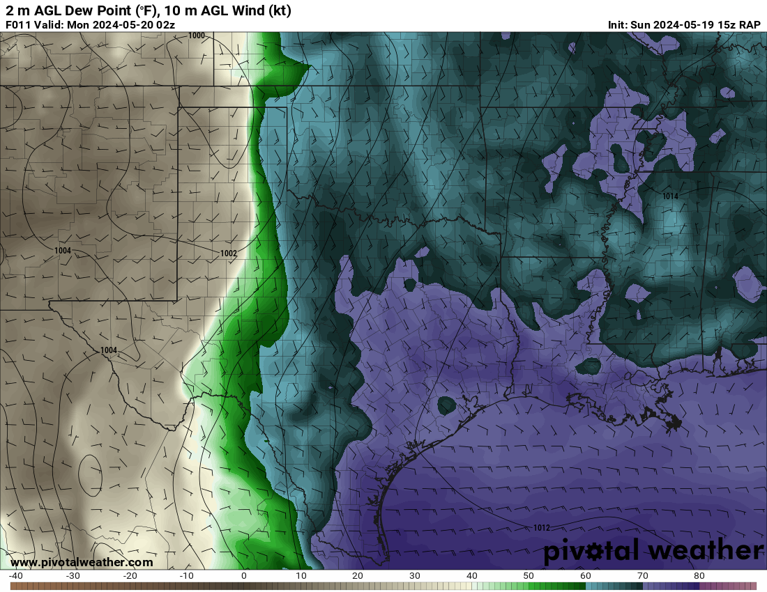
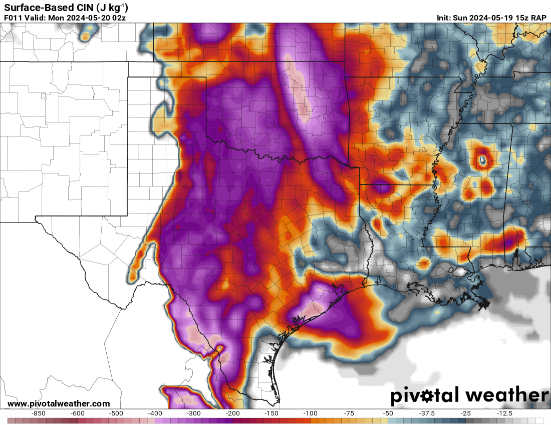
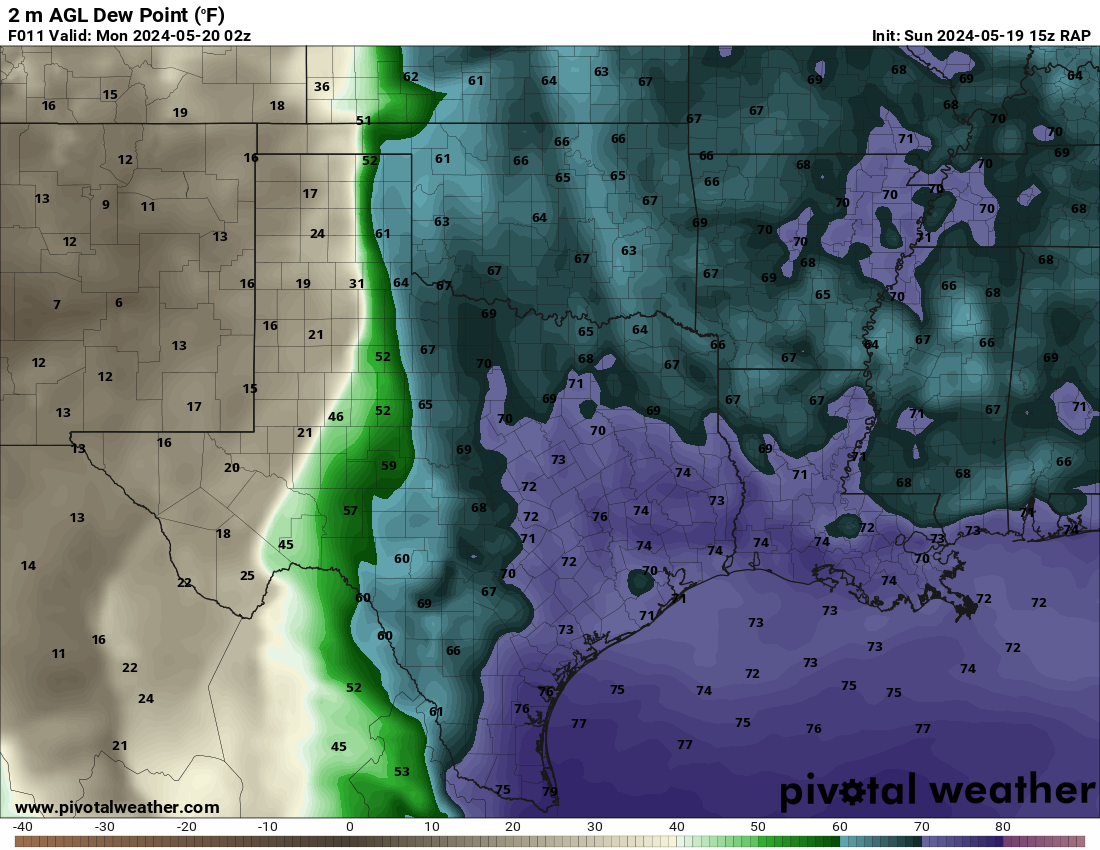
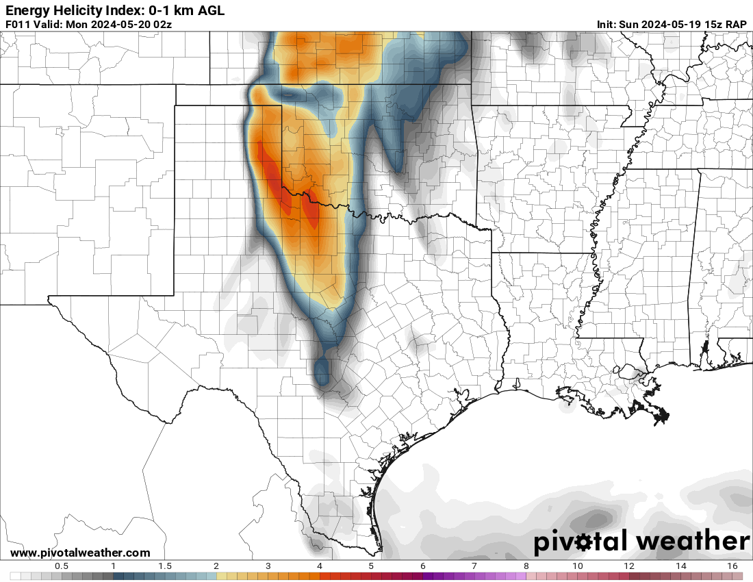
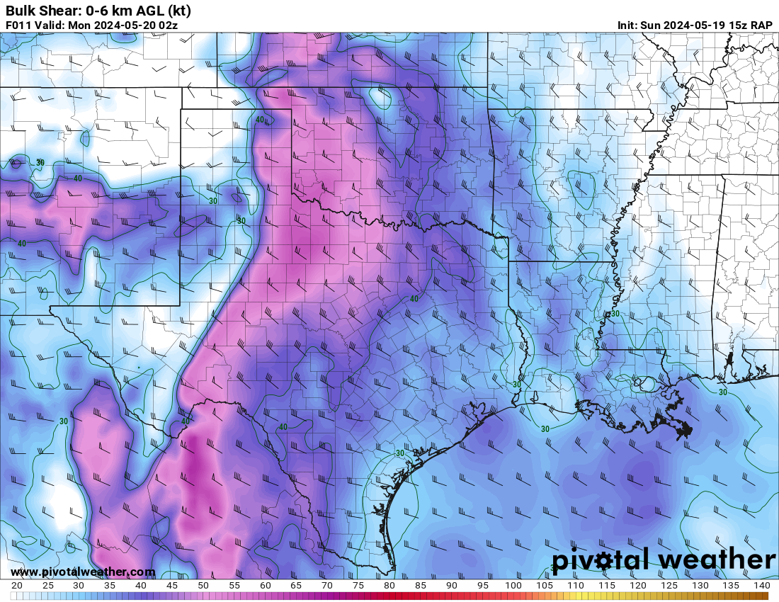
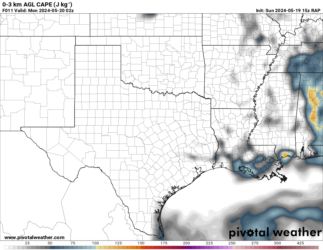
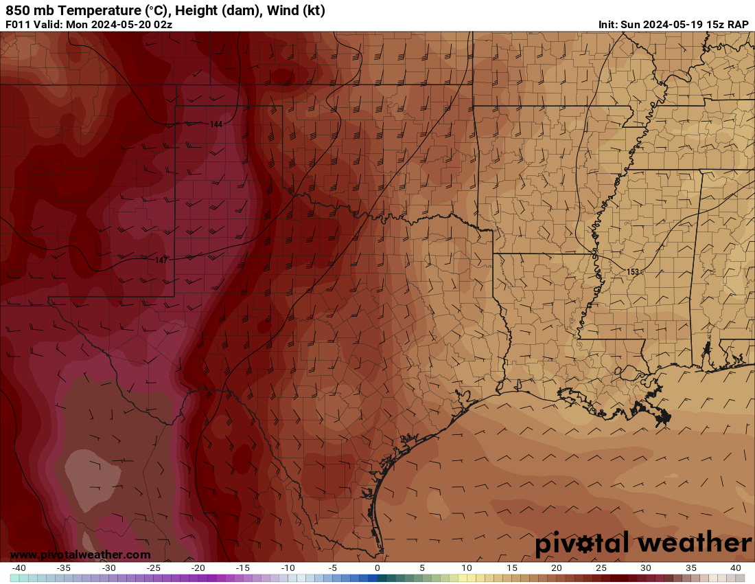
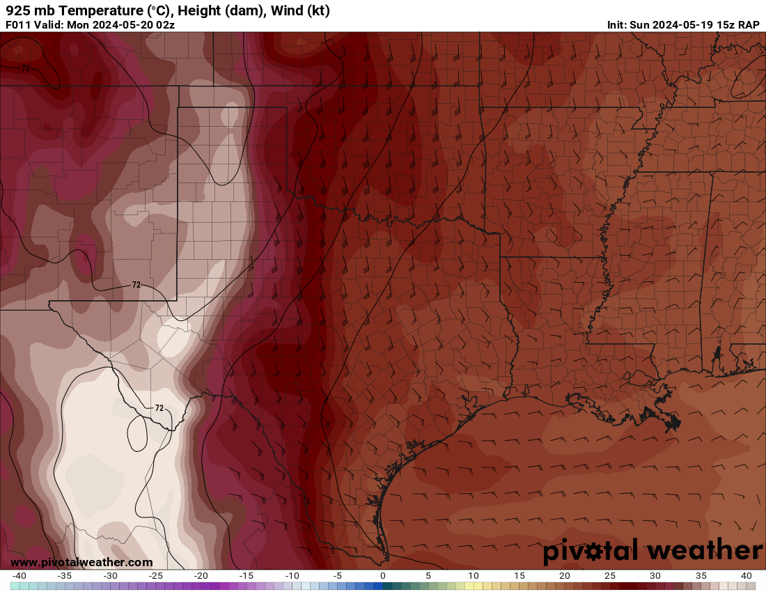
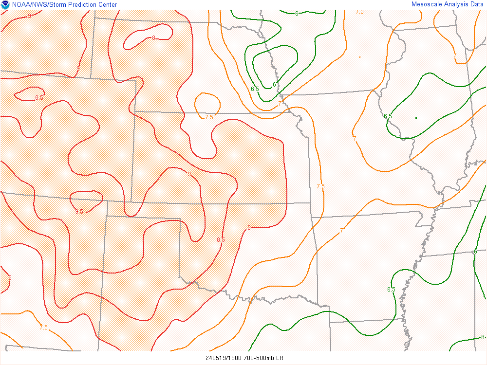
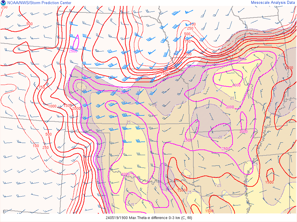
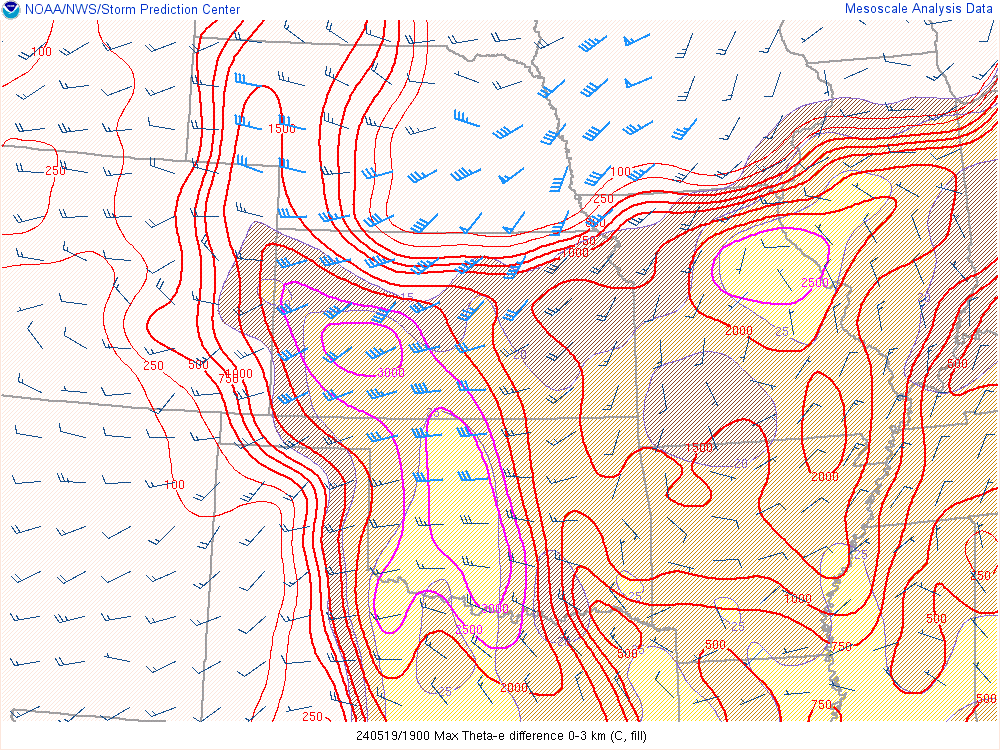
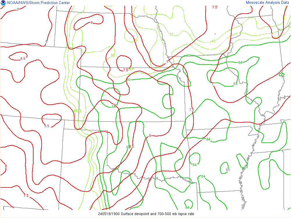
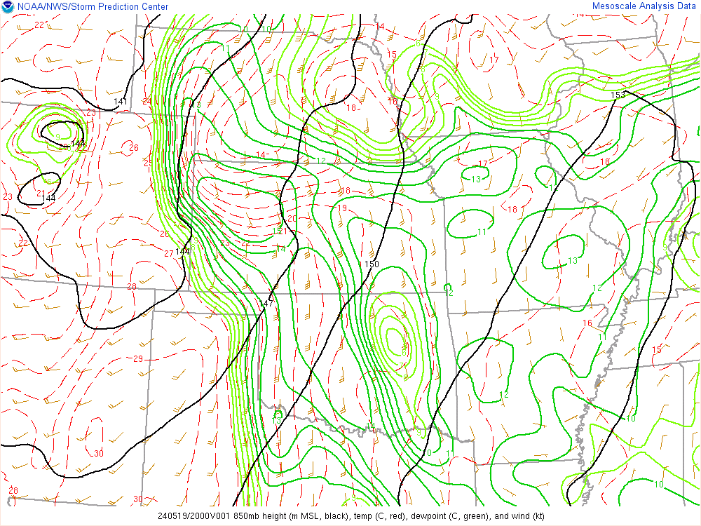
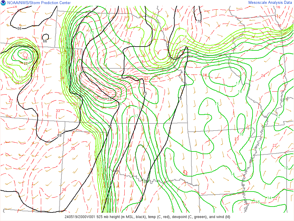
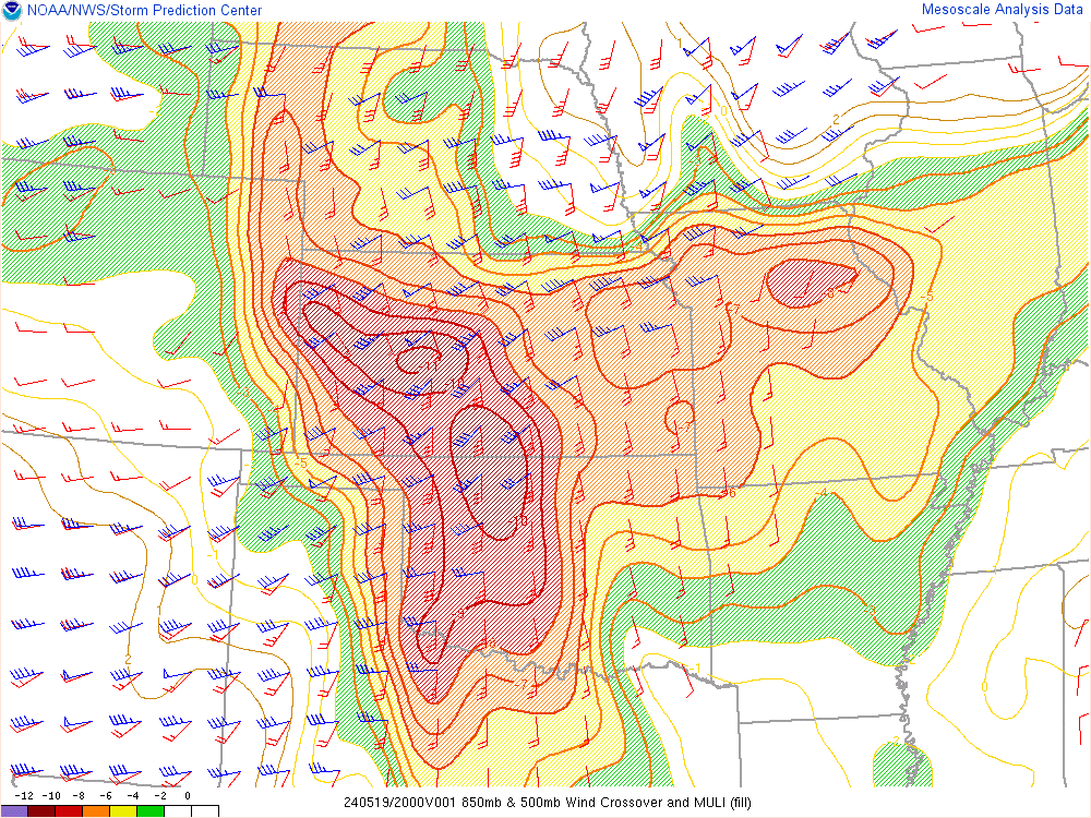
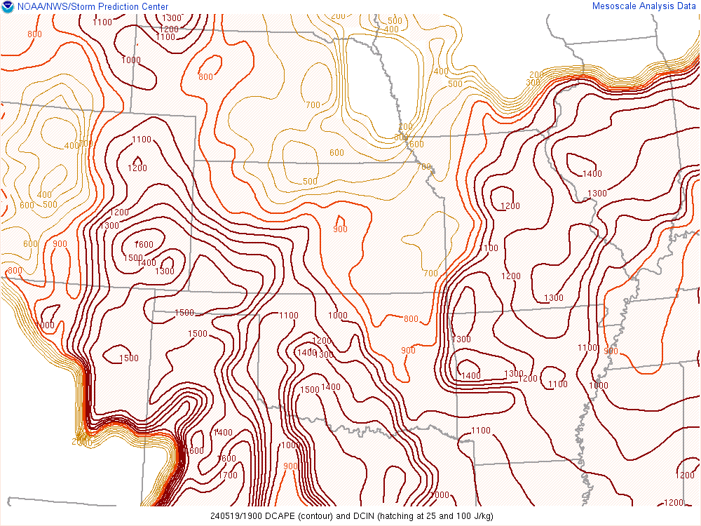
I was not really sure what to expect at first. We had been concerned over DCAPE values of 1200+. That usually leads to cold, outflow-ing storms. Some positives included impressive low level jet, the great venting jet coming in and a strong north/south oriented dryline.
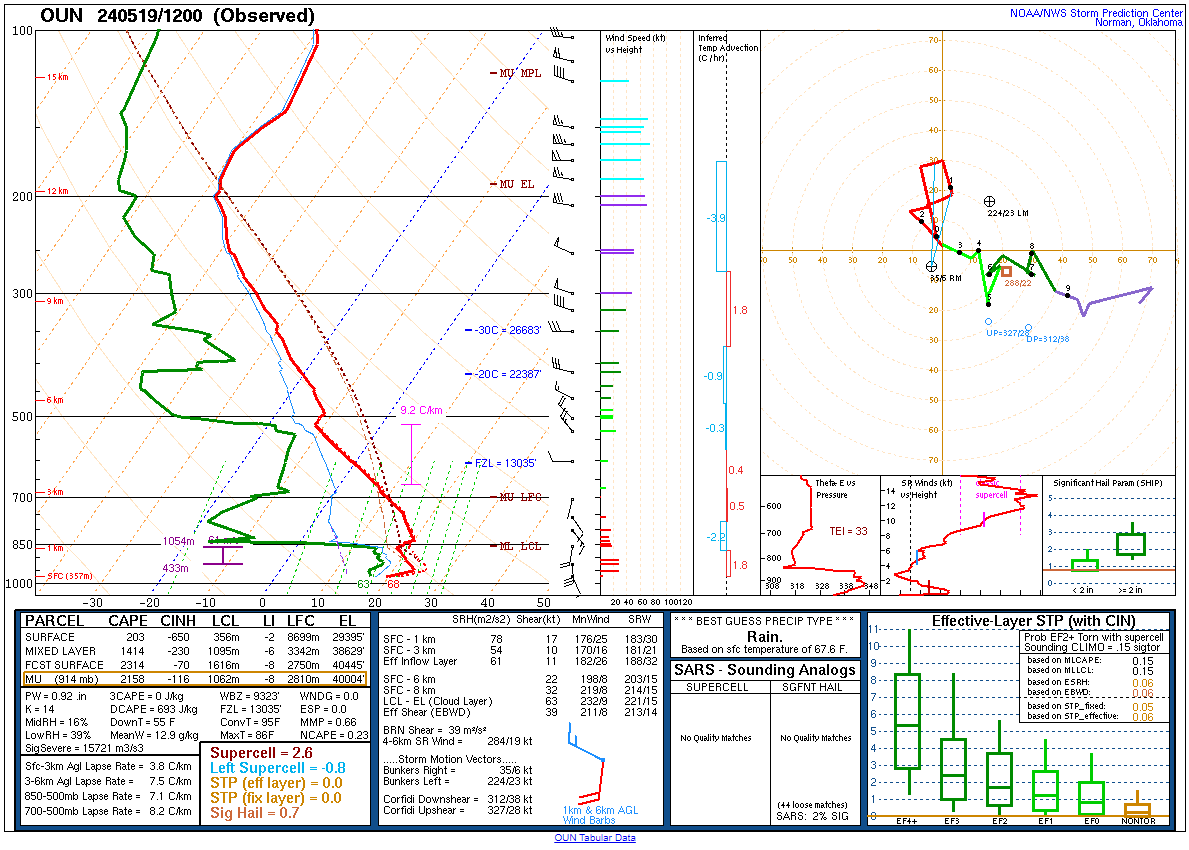
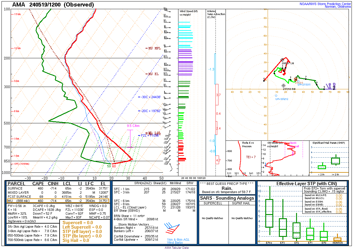
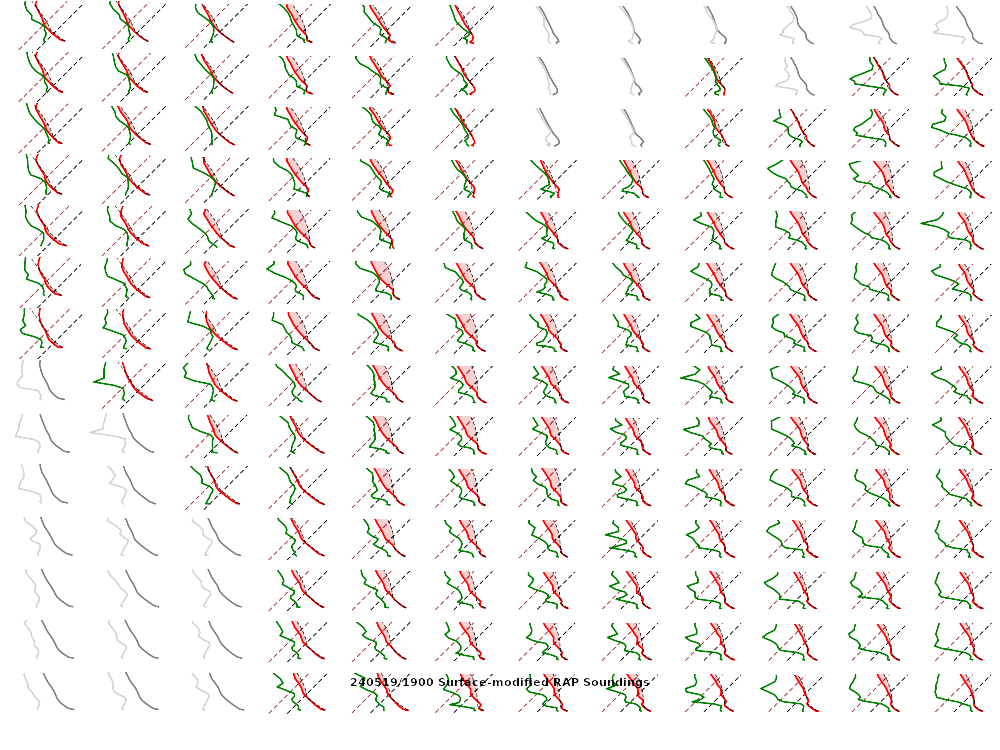
Morning Soundings
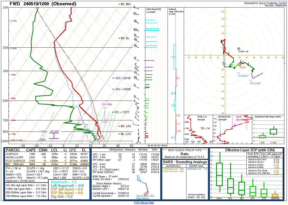
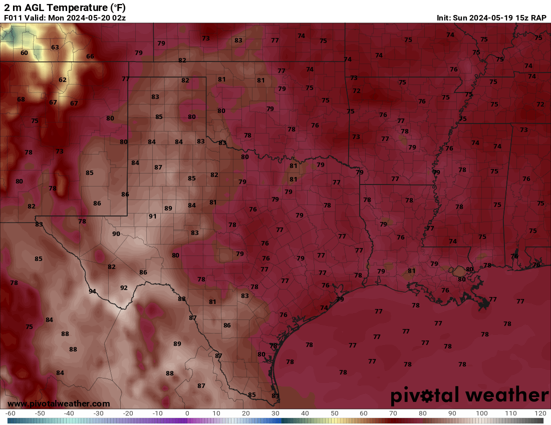
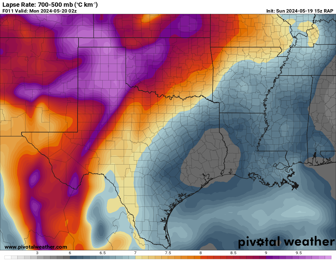
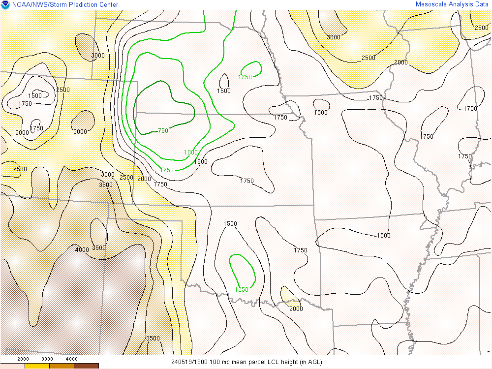
Morning soundings showed very moist environments at Norman and Fort Worth with very steep lapse rates. Amarillo also had some extremely steep lapse rates. This would likely work to keep the storm isolated as well.
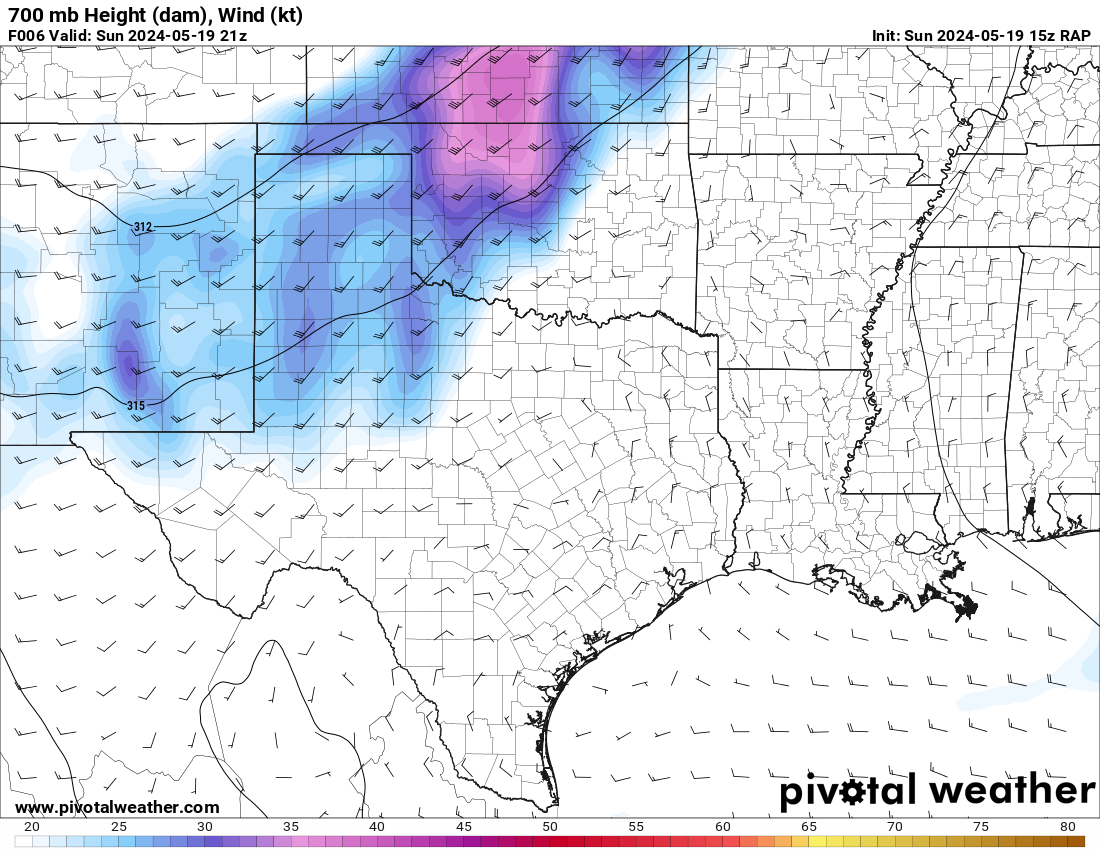
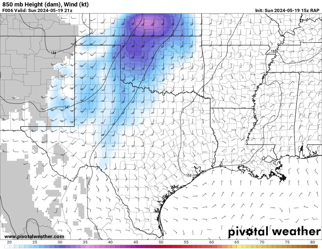
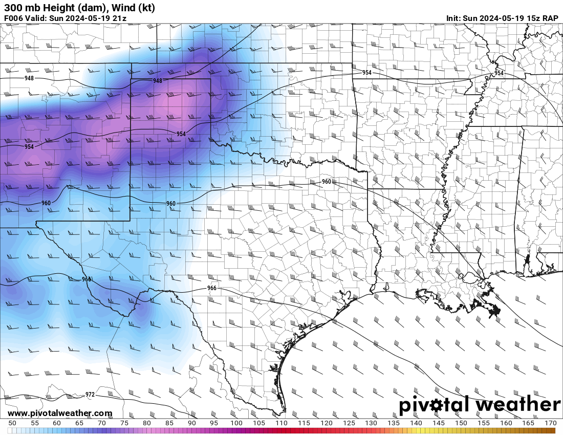
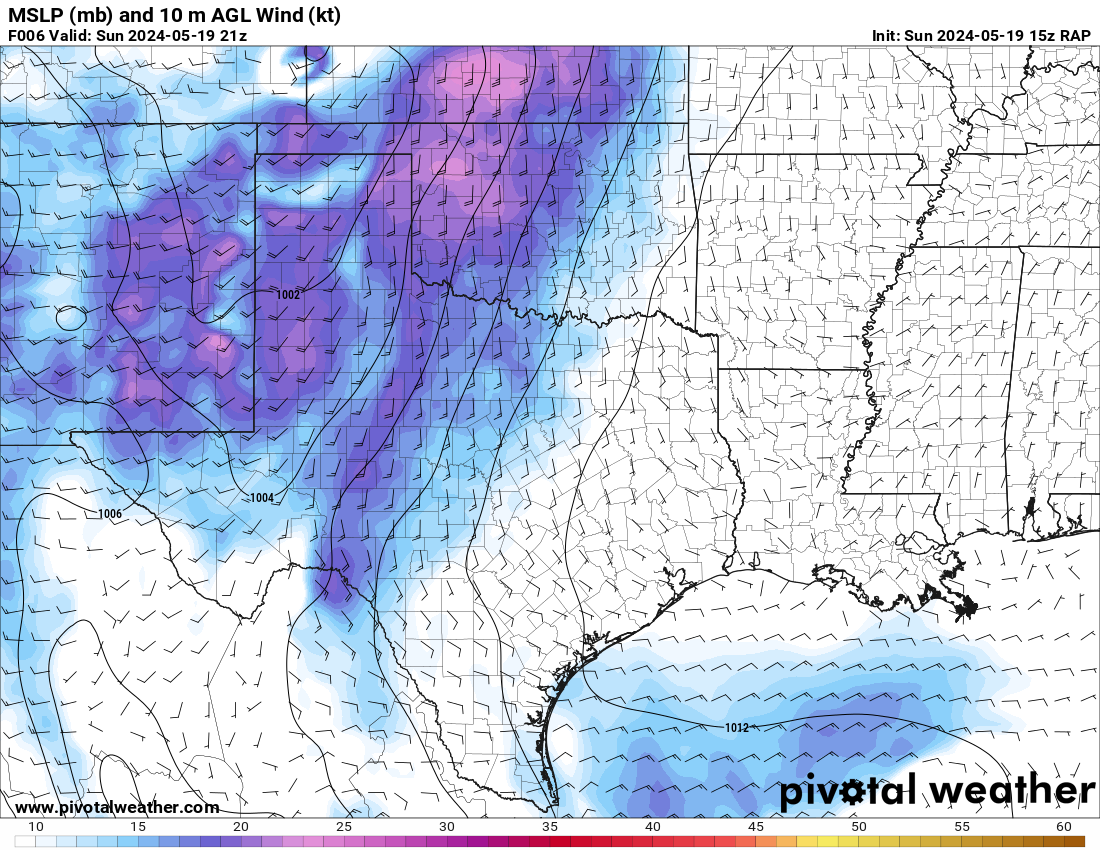
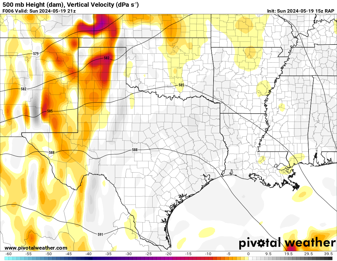
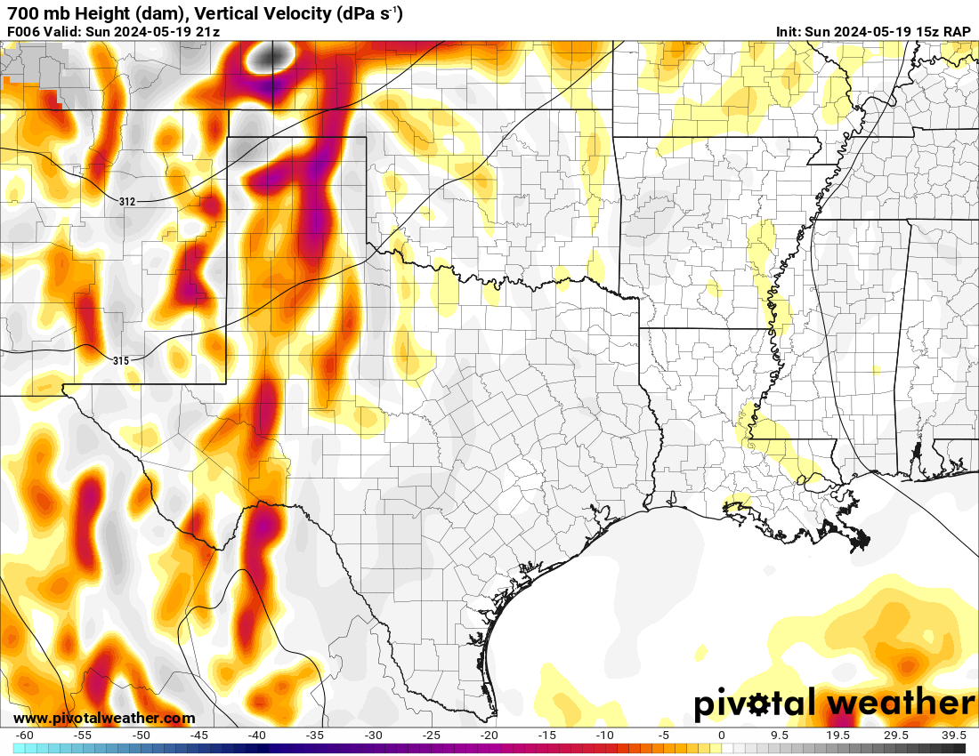
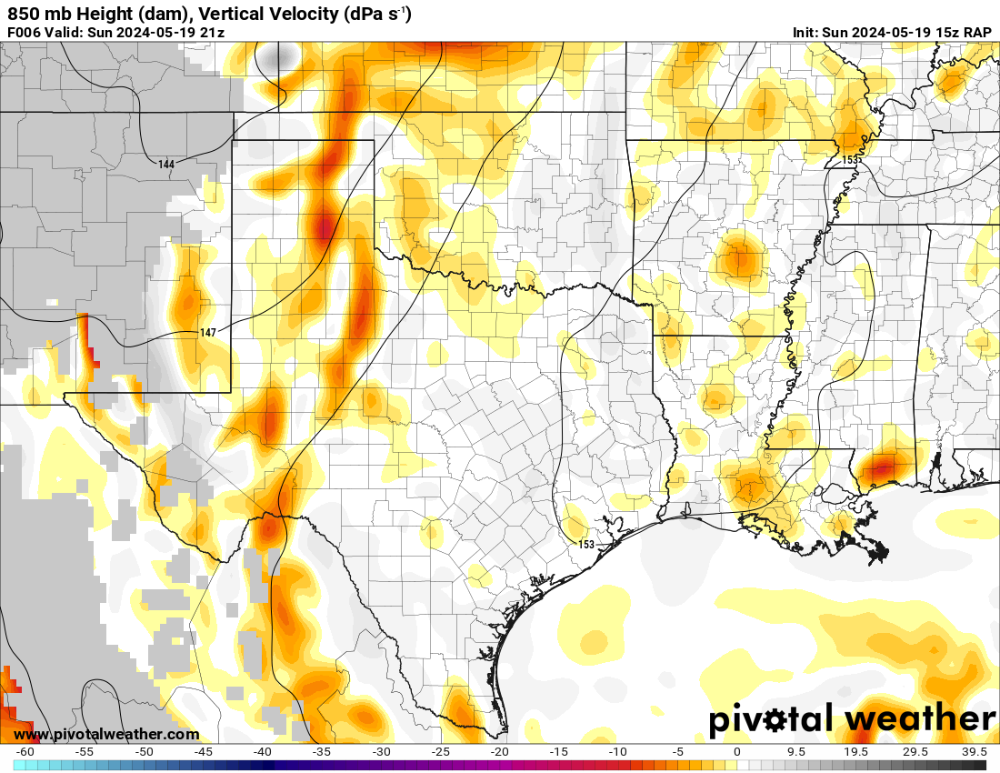
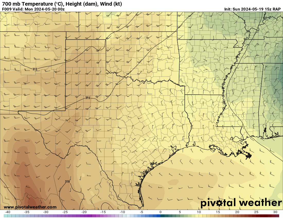
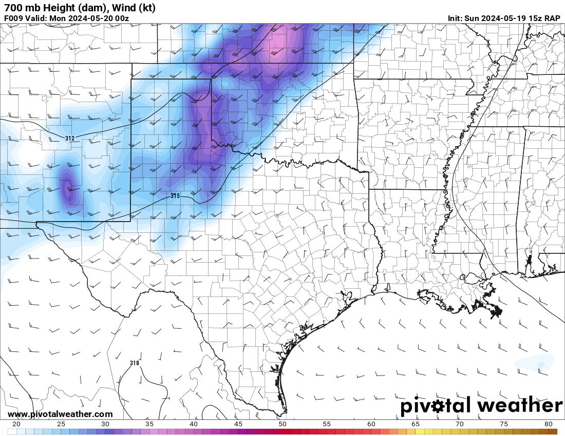
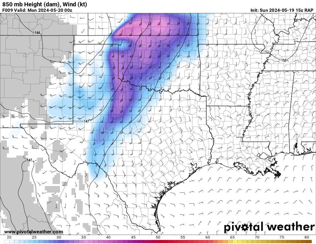
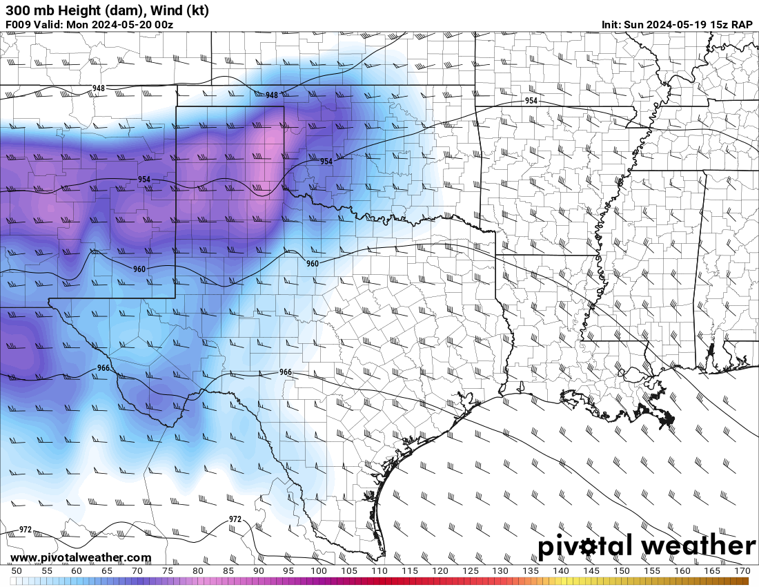
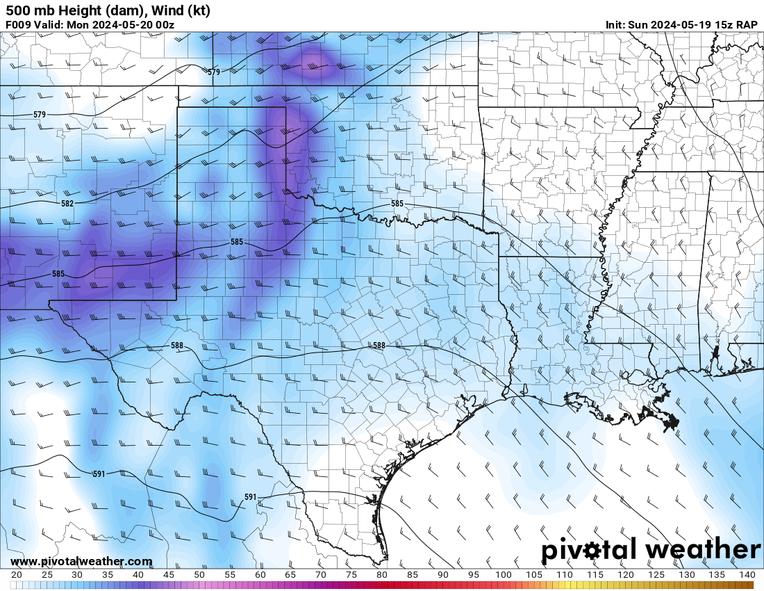
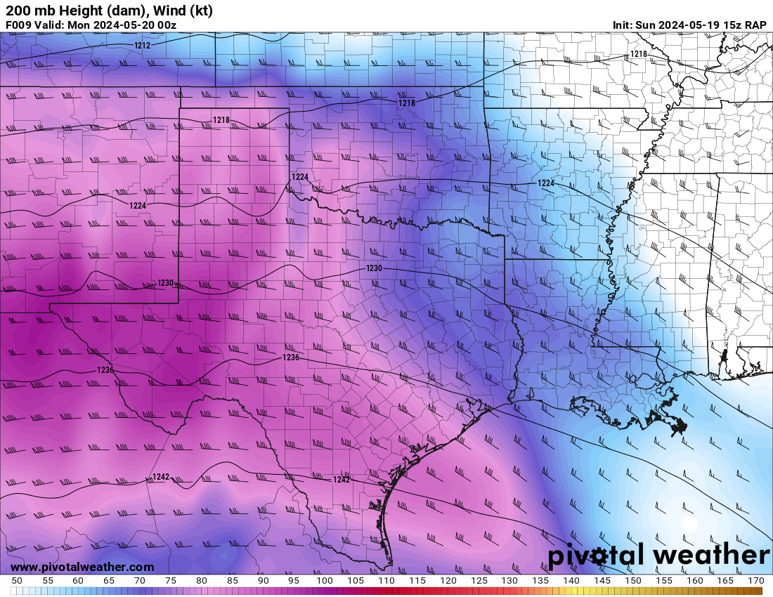
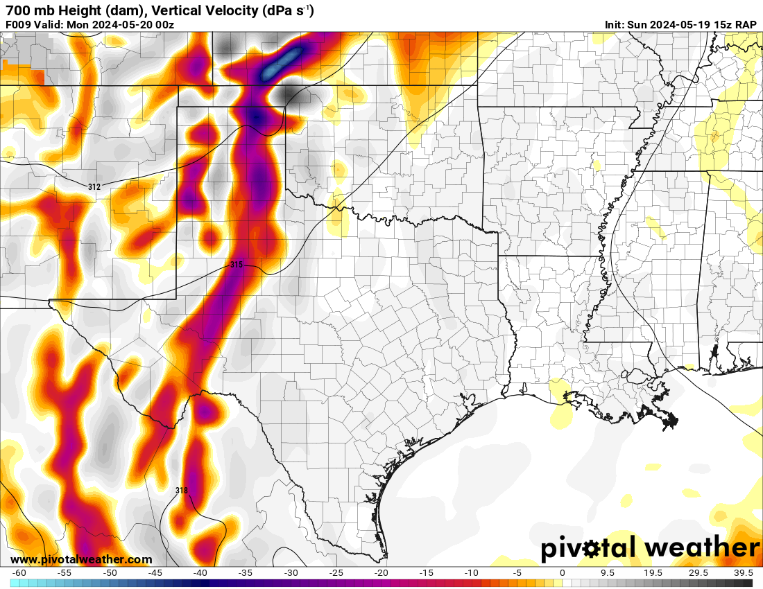
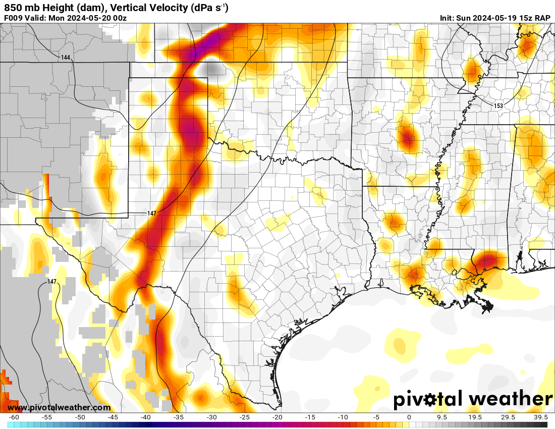
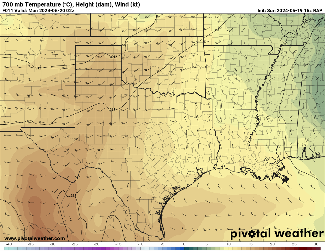
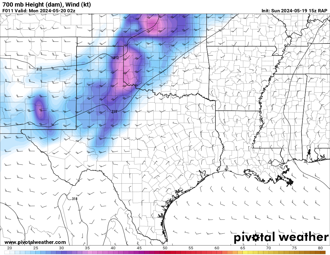
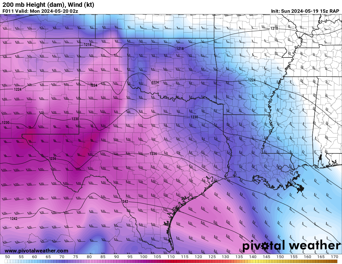
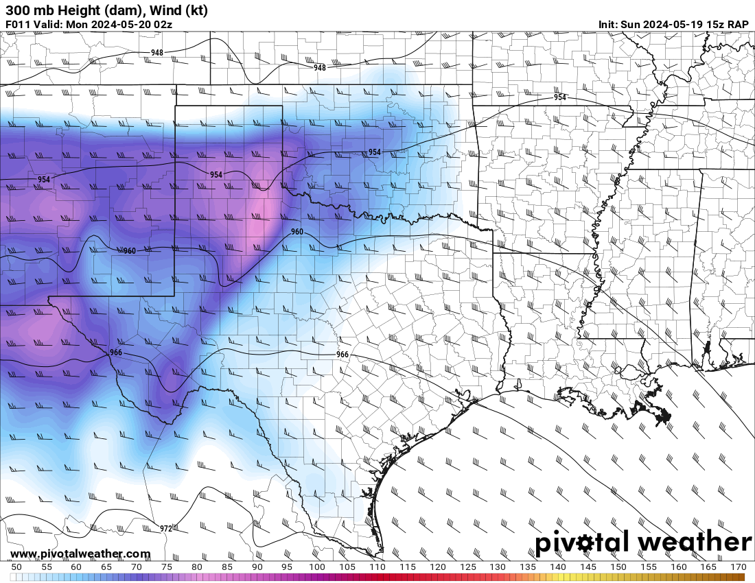
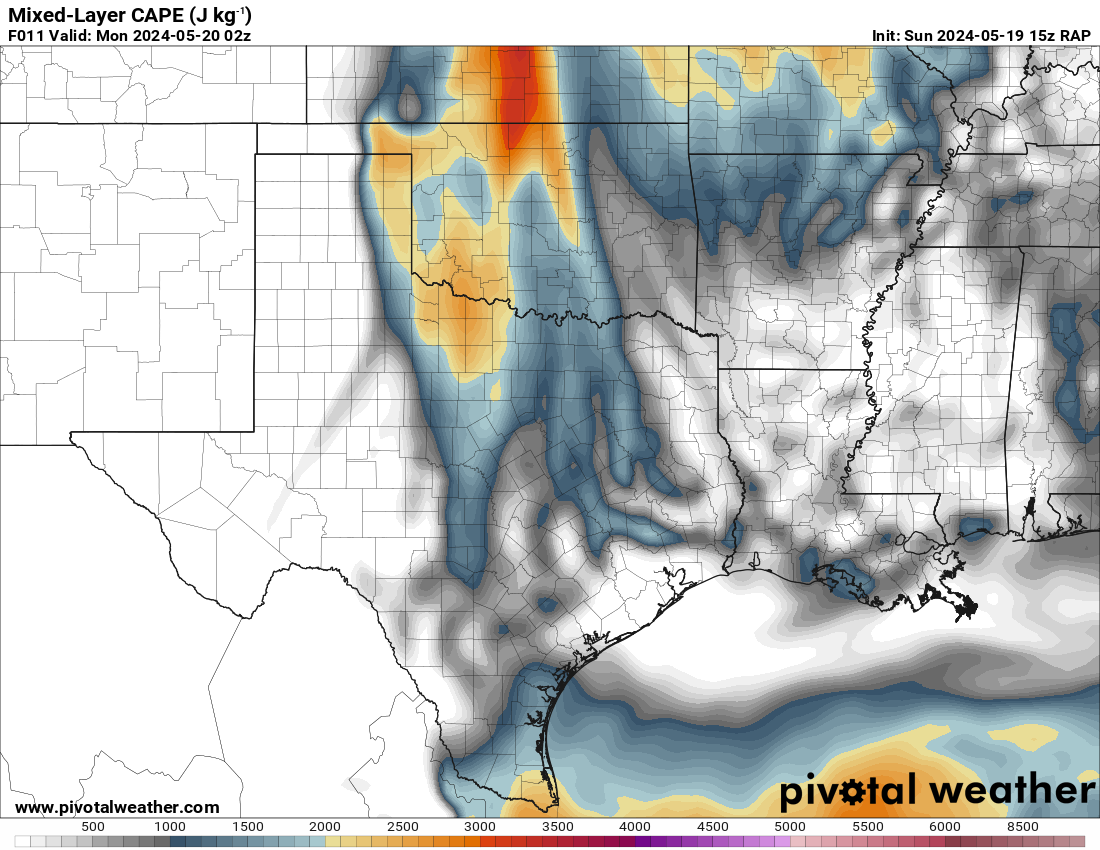
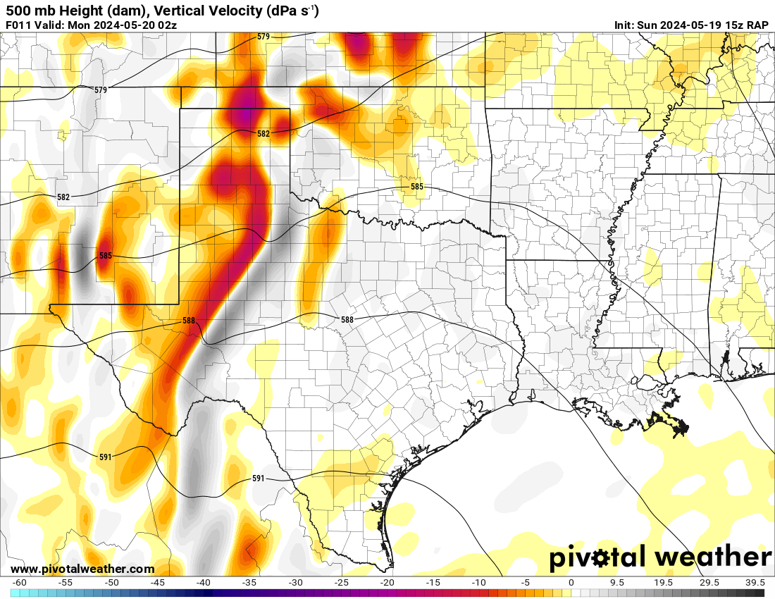
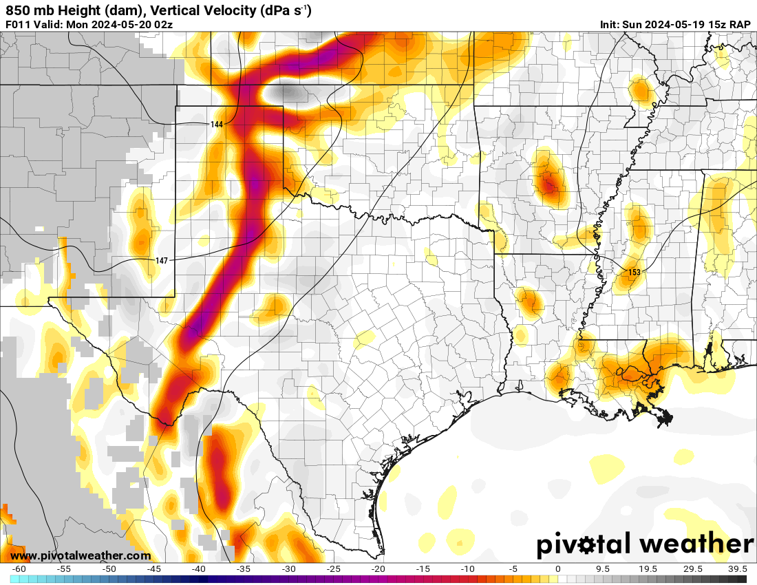
15Z RAP
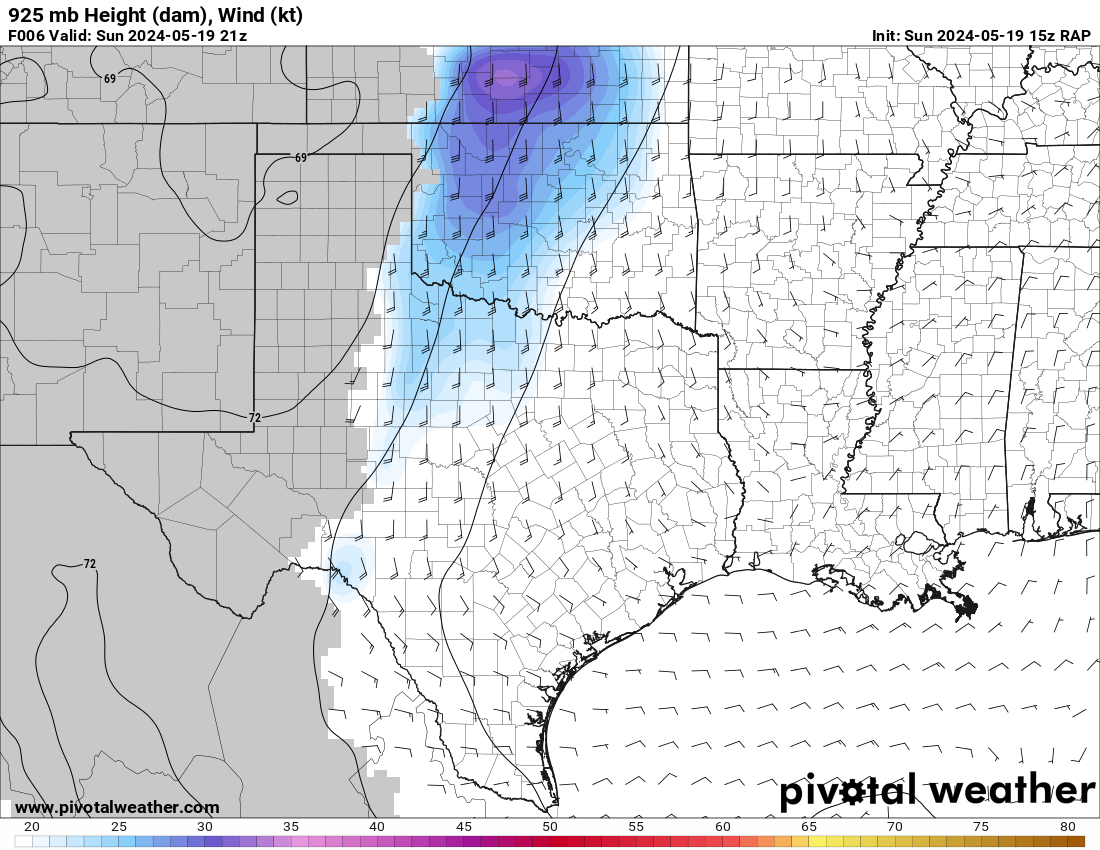
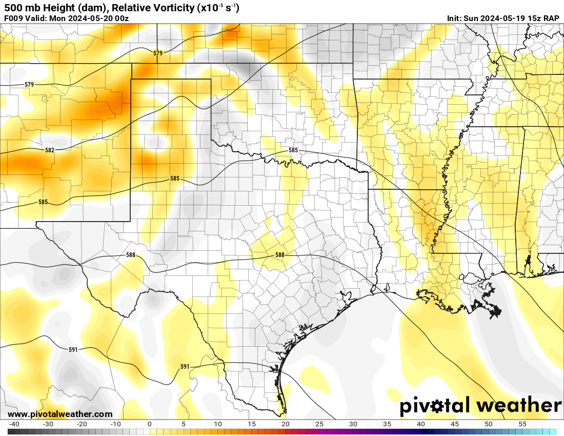
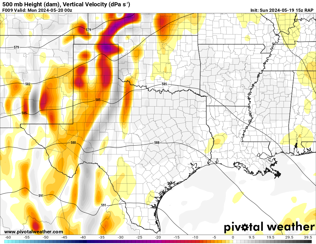
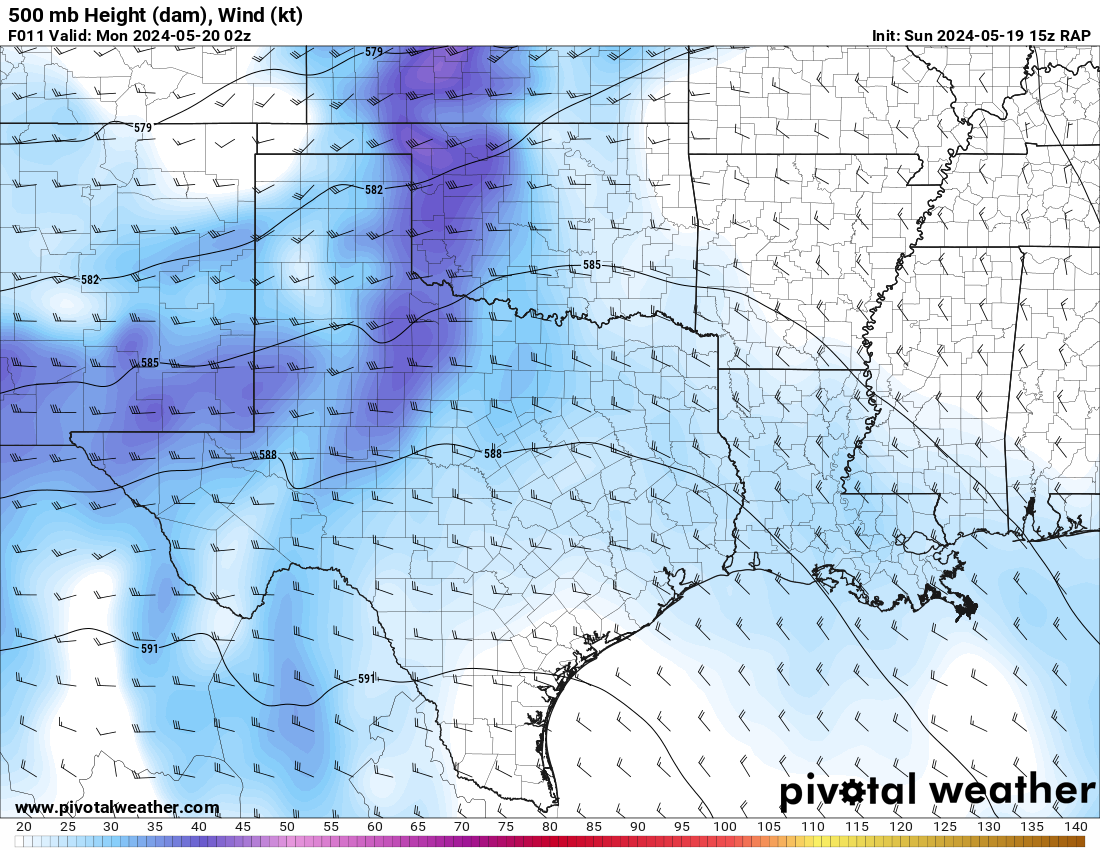
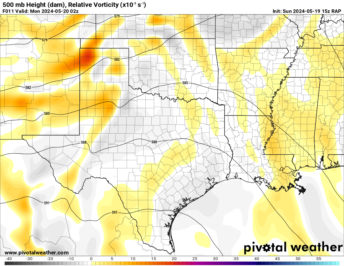
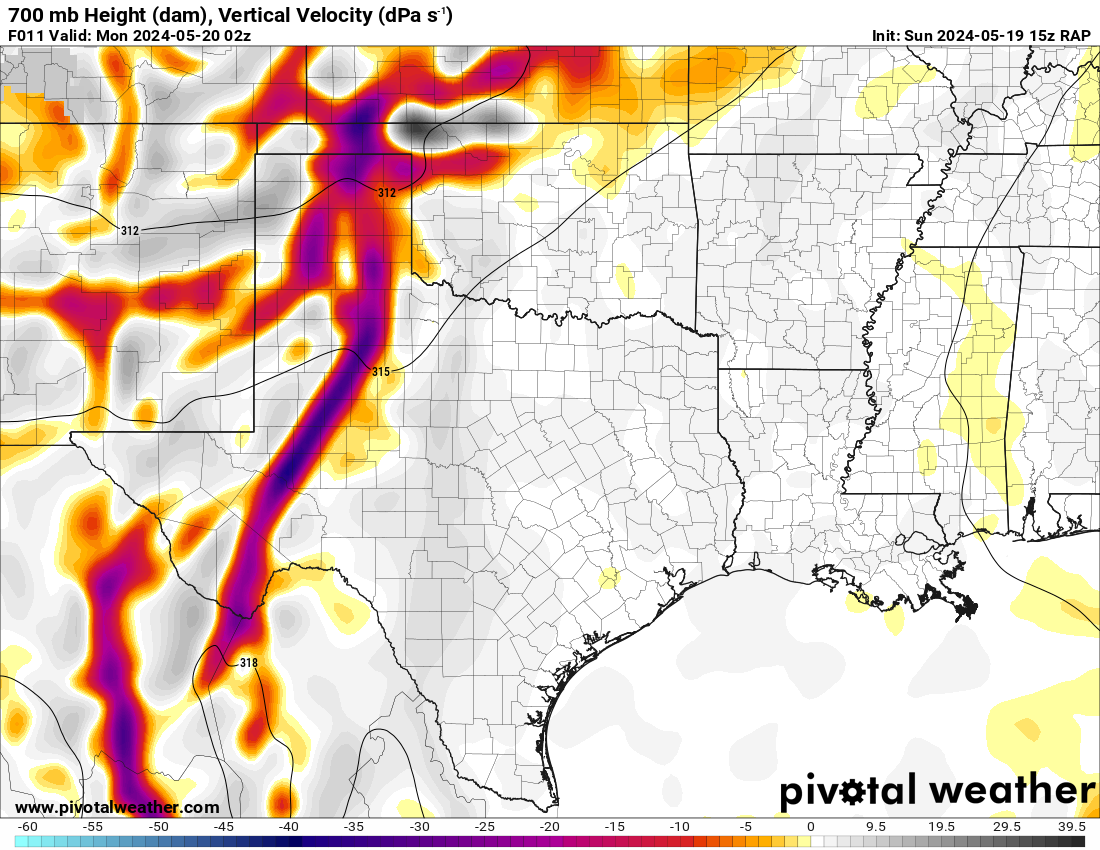
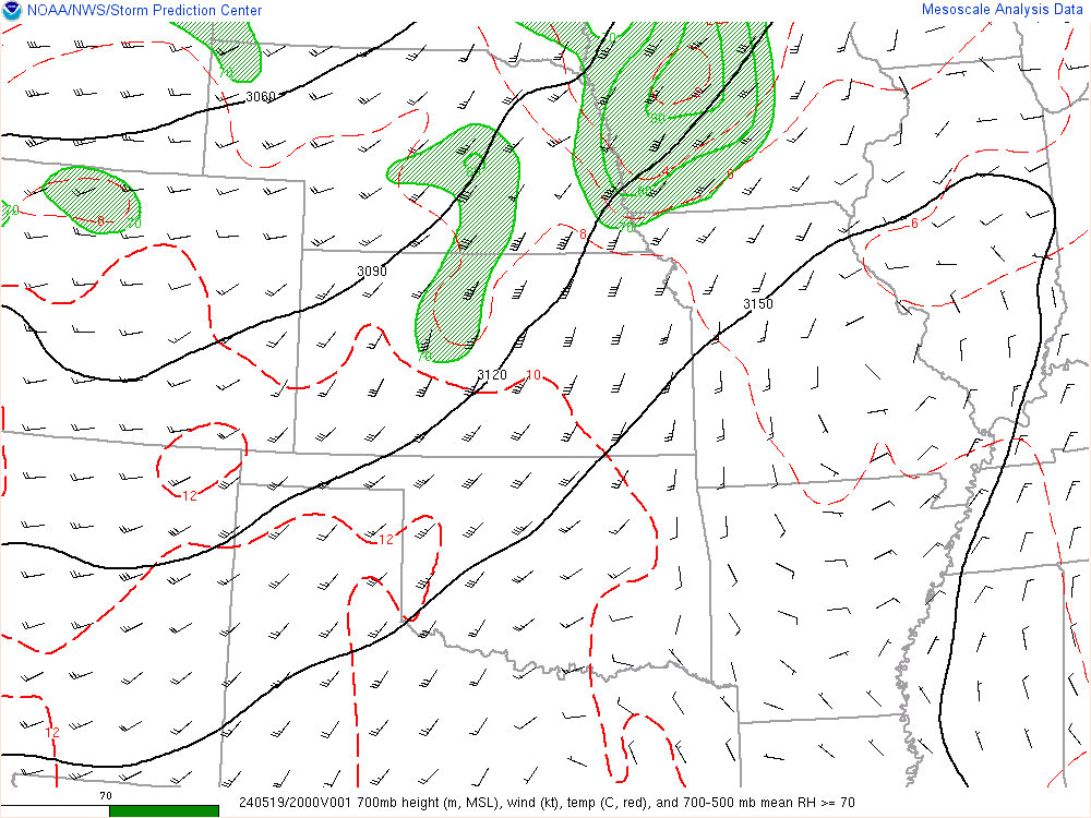
The RAP model was pretty consistent at hitting western Oklahoma with a strong 300mb jet and the low level jet (850mb) cranking up from 21 to 00Z and then really going wild after 00Z. After looking over the morning models, it seemed like somewhere in Western Oklahoma would be a good place to start.


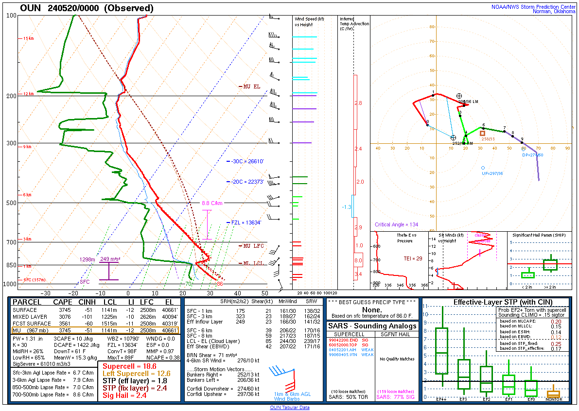
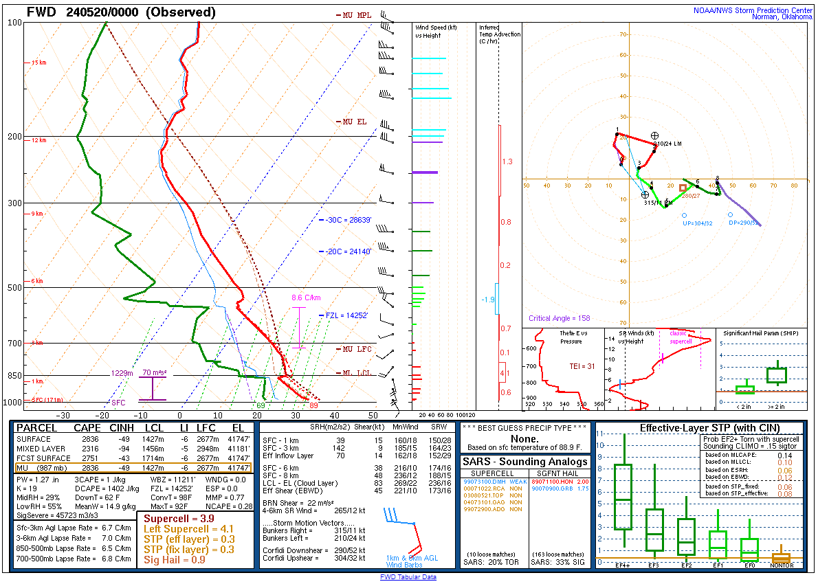
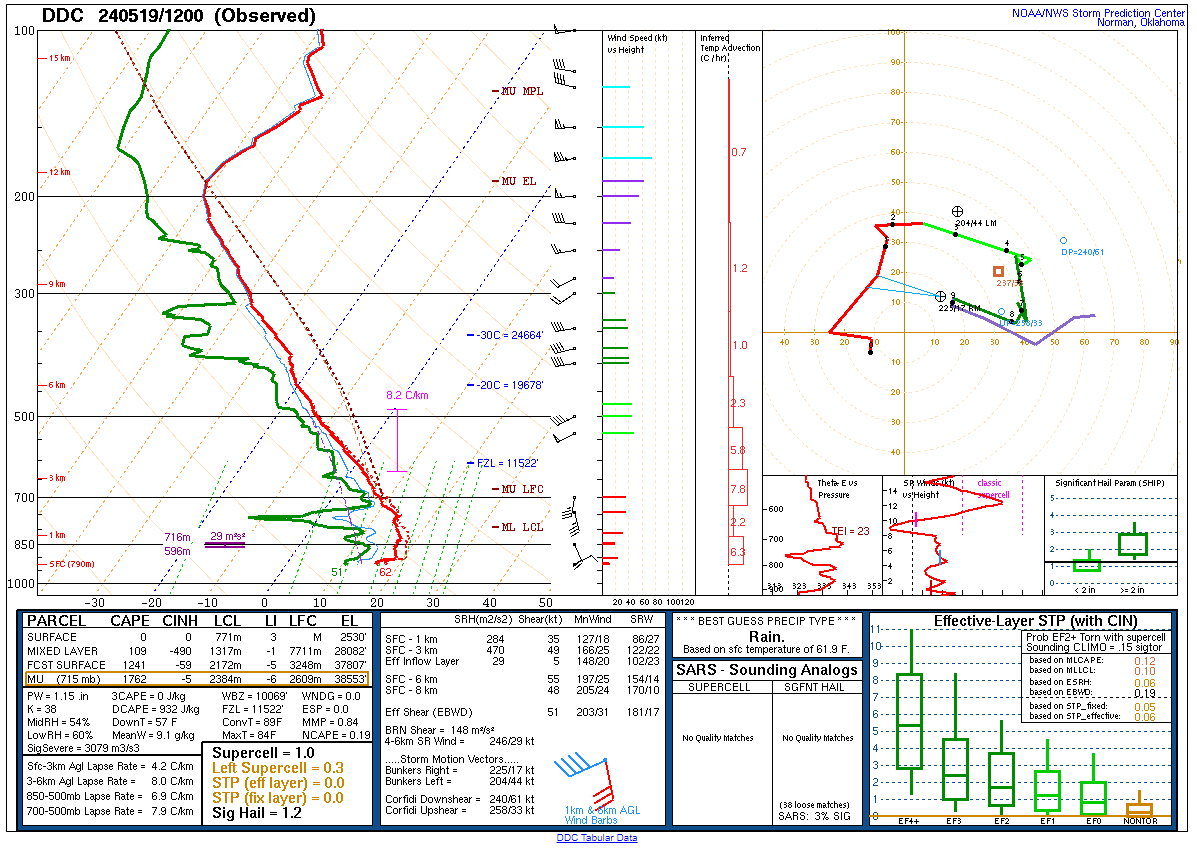
18Z Dodge City Special Sounding
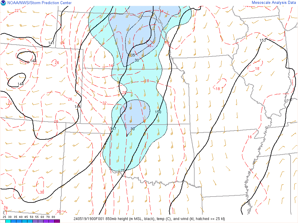
Dodge City launched a special 18Z sounding to sample the atmosphere. I assumed it was for the expected derecho over Kansas. One thing that I noticed, however, was that DCAPE values were different than I had seen on the models. While I was seeing values of 1200-1600, the 18Z DDC was showing only 637 DCAPE on the sounding. While capped, it made me wonder if the models had overdone mixing. I found this to be significant enough to message Bill to point it out.

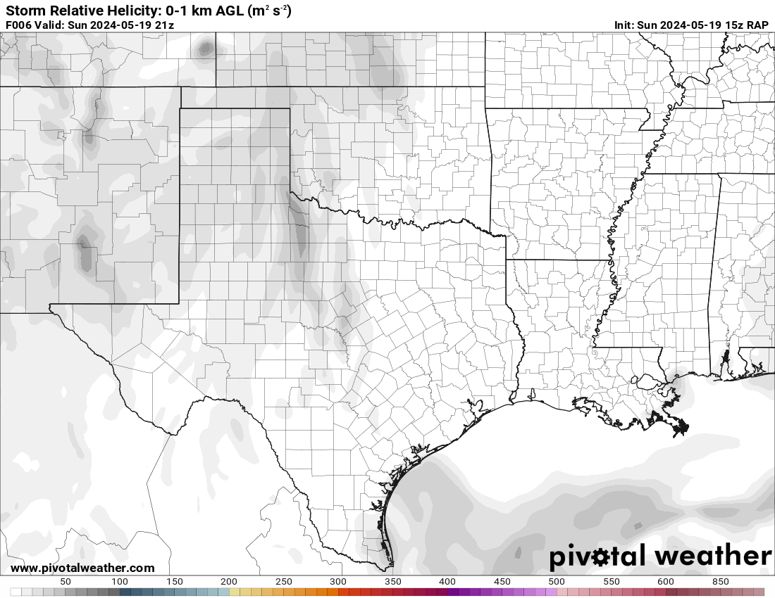
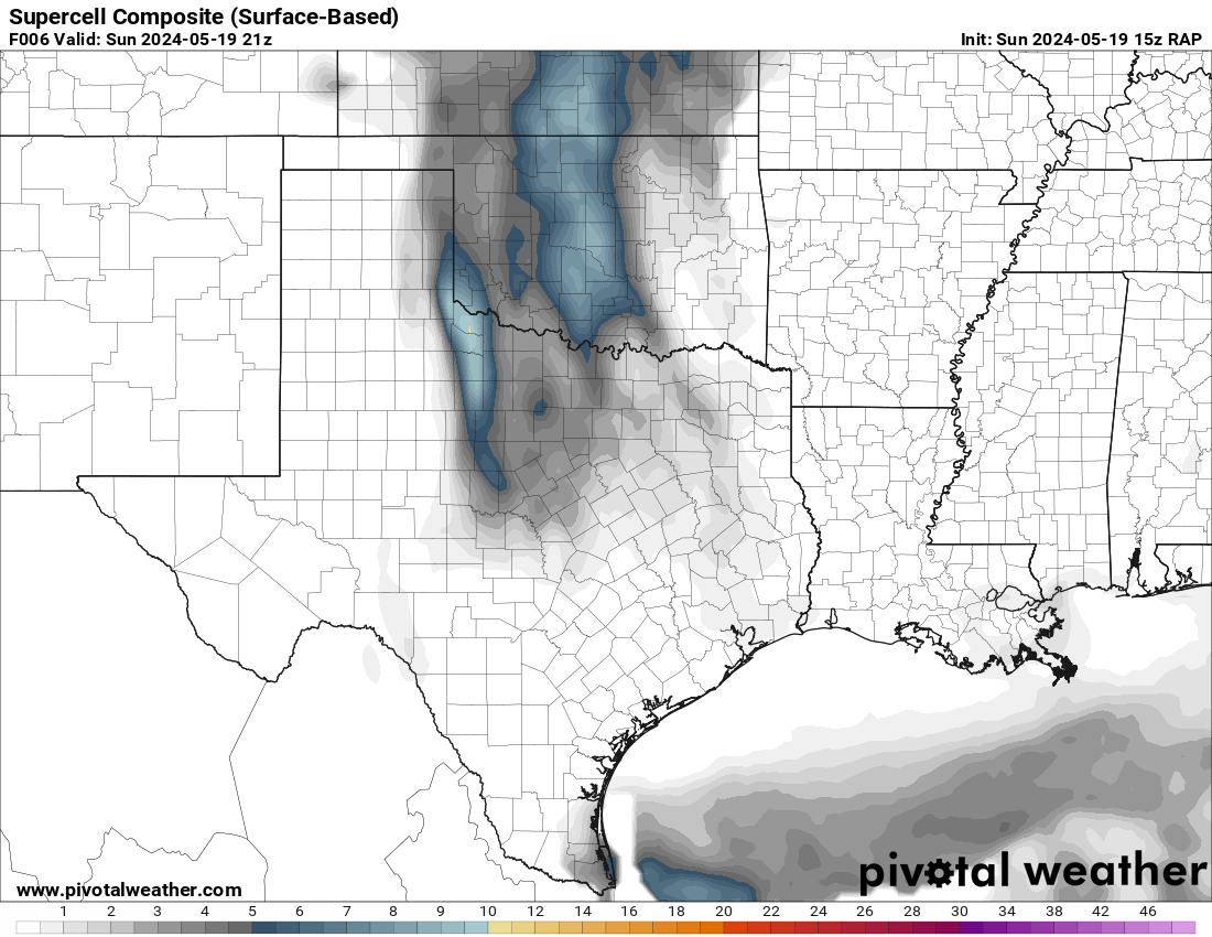
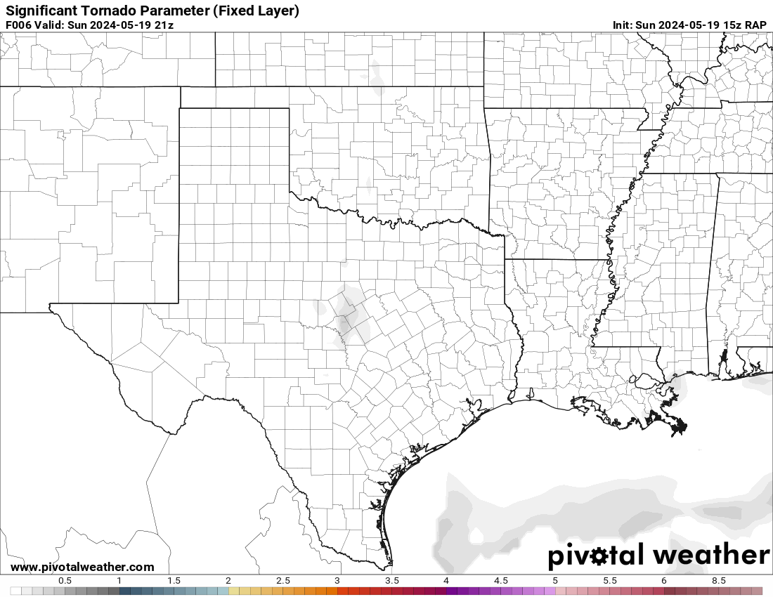
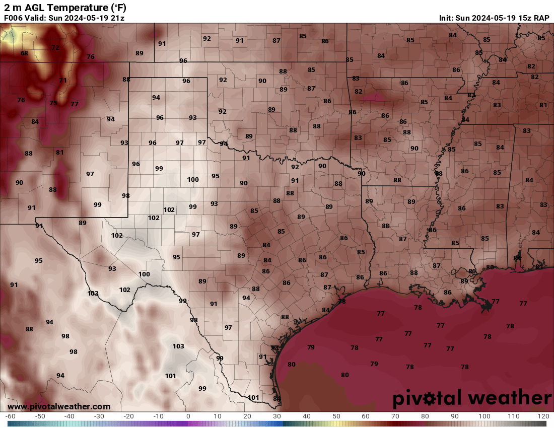
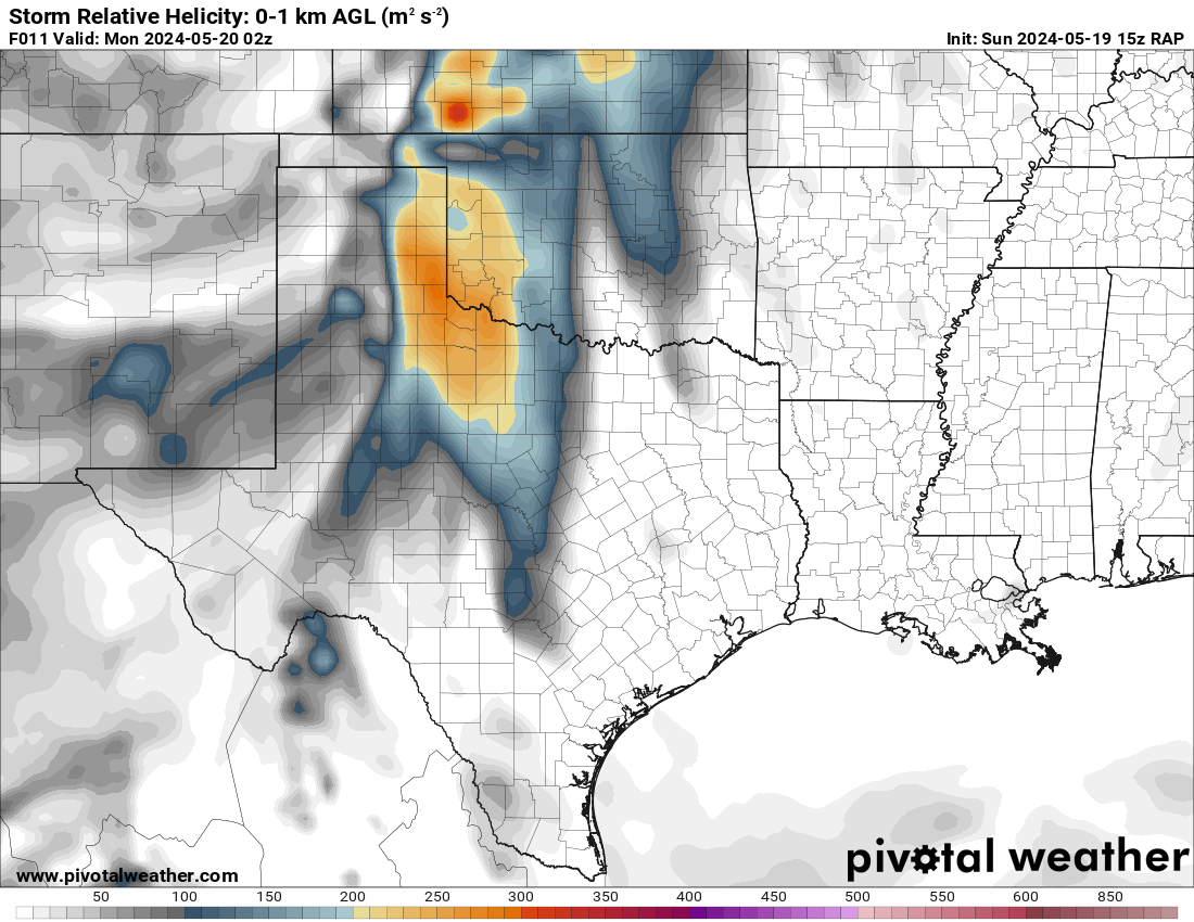
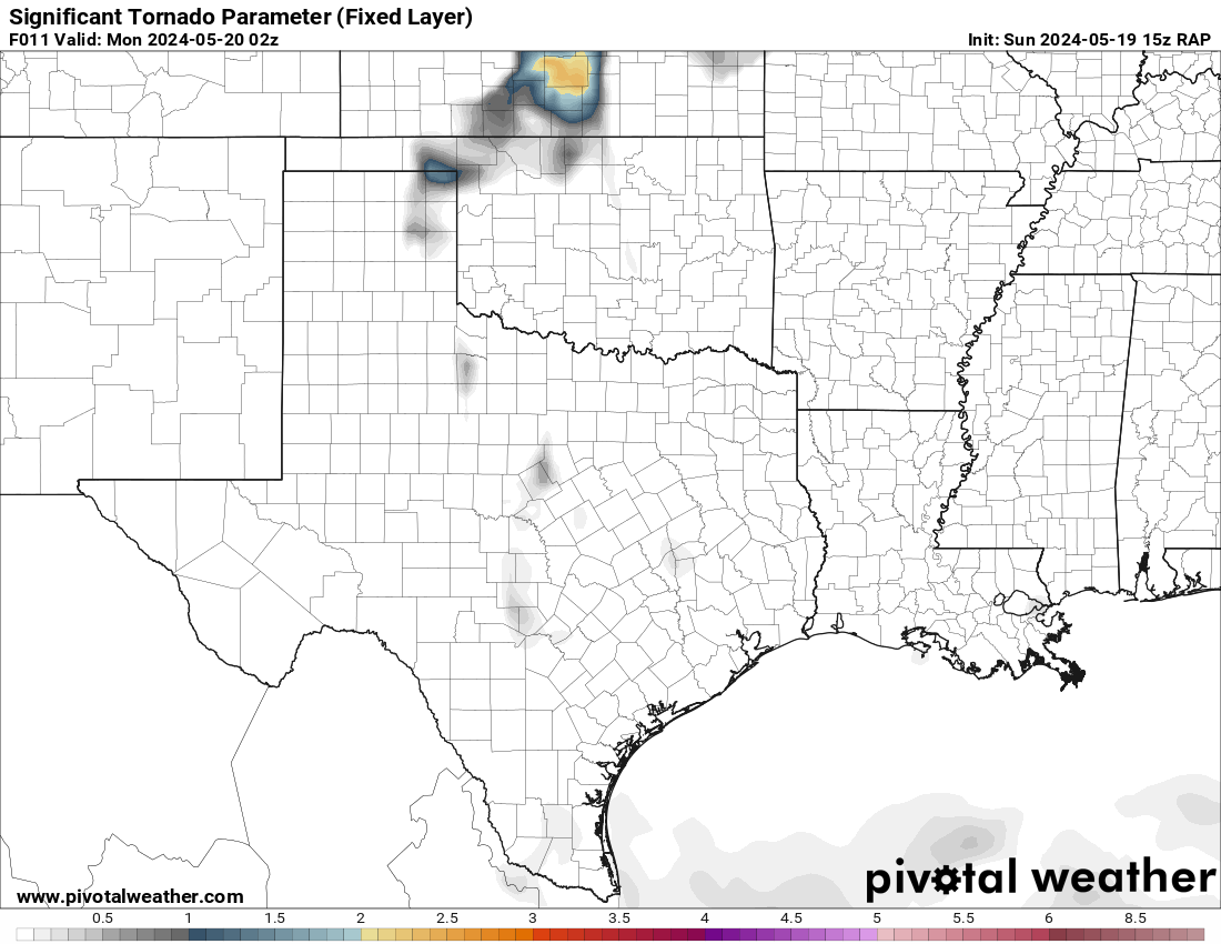
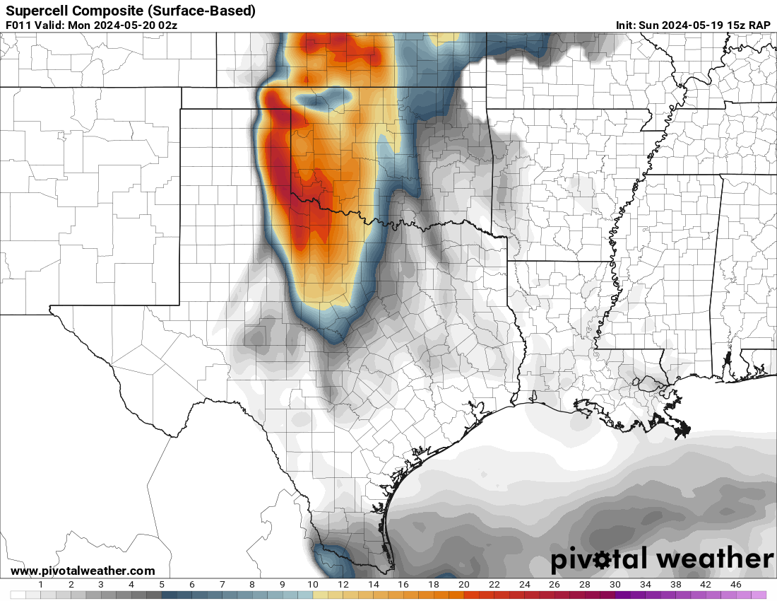
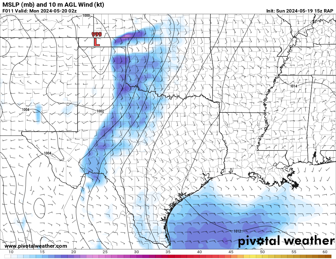
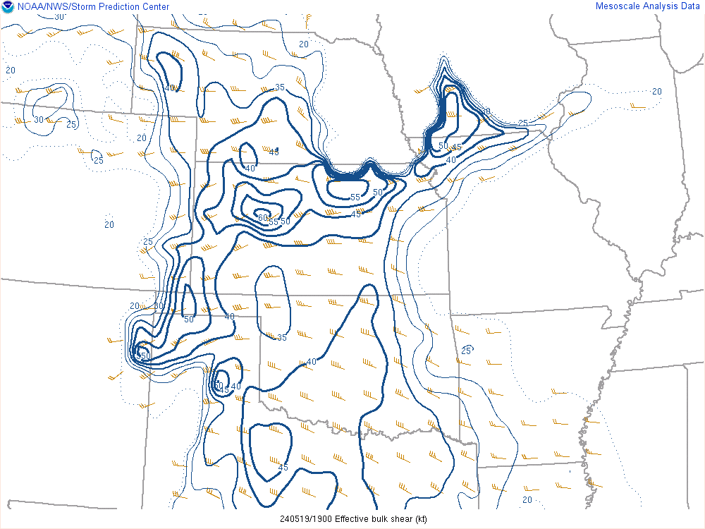
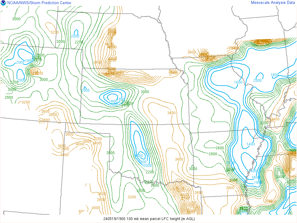
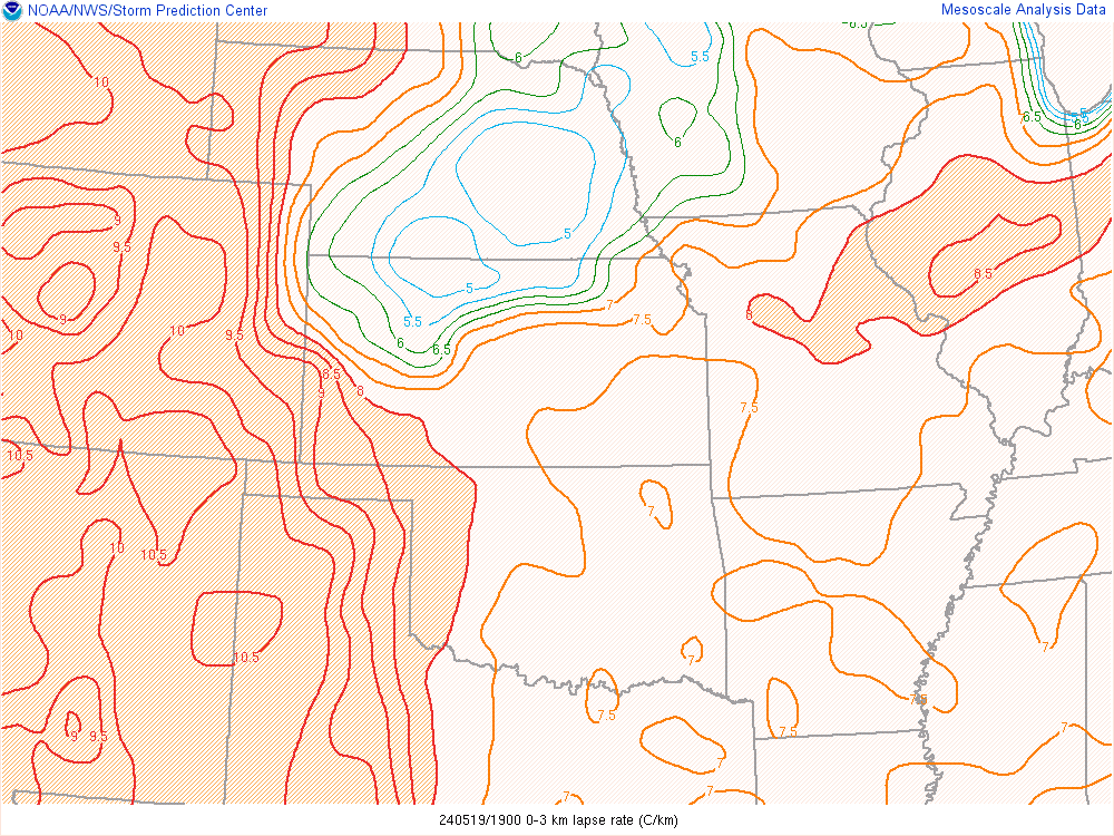
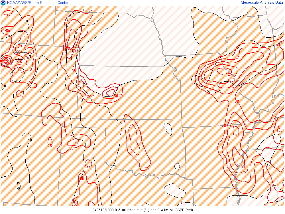
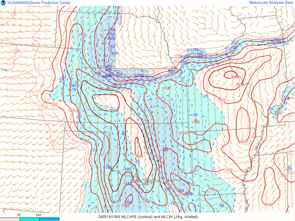
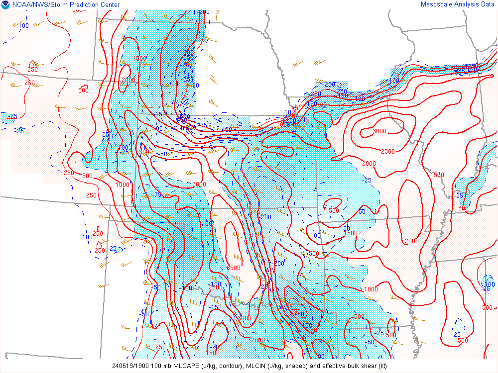
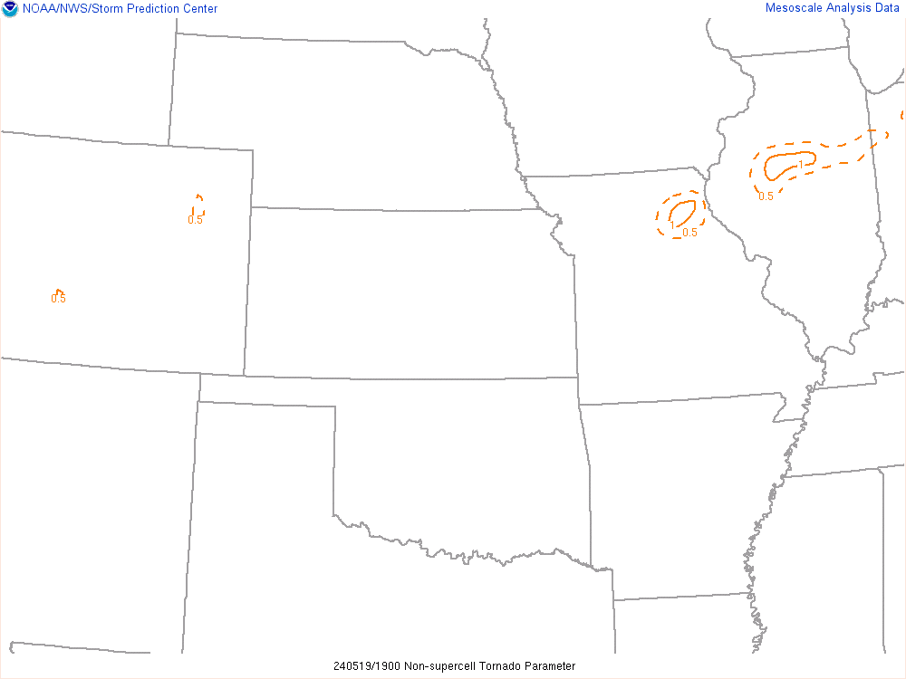
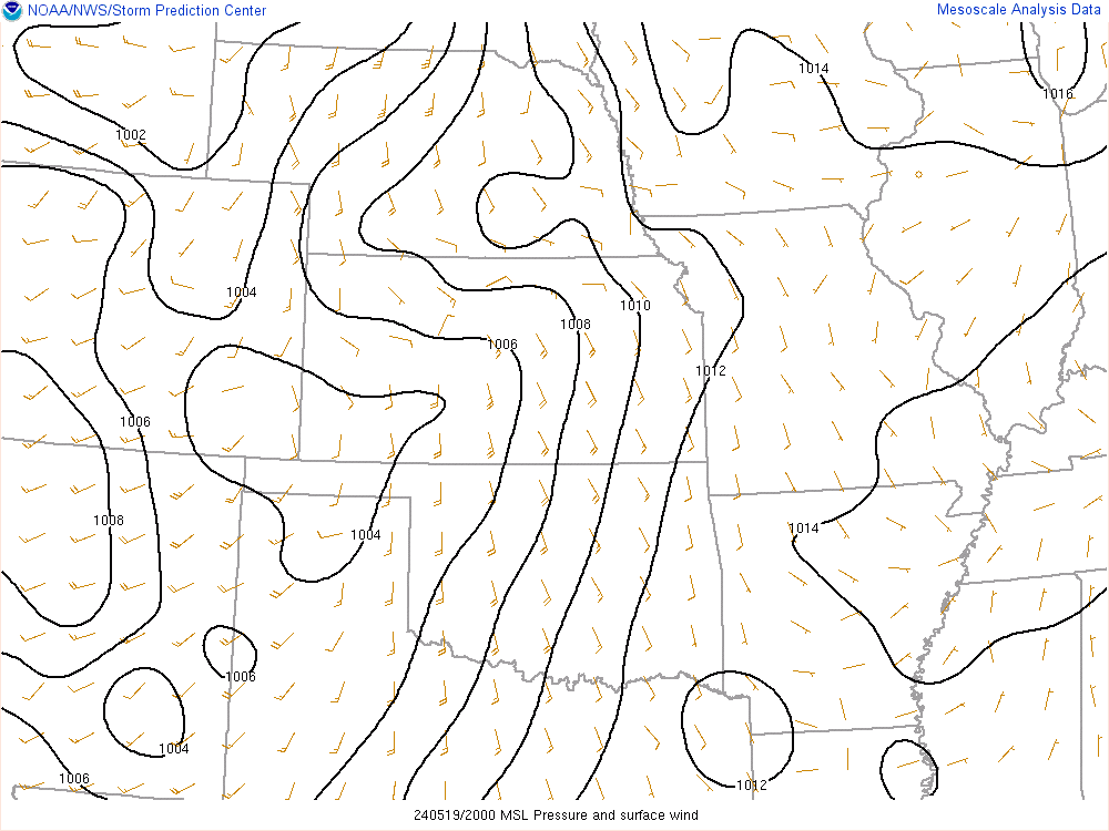
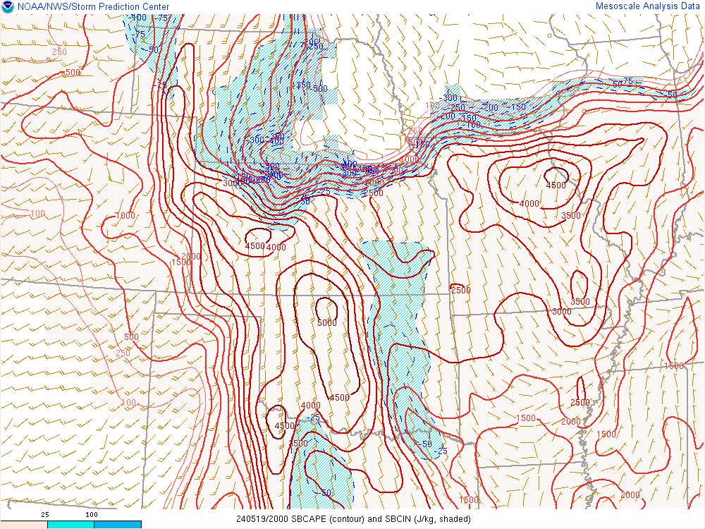
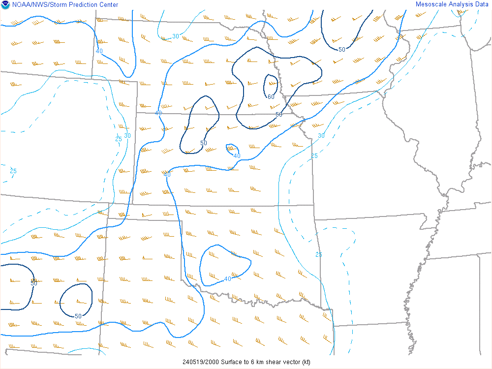
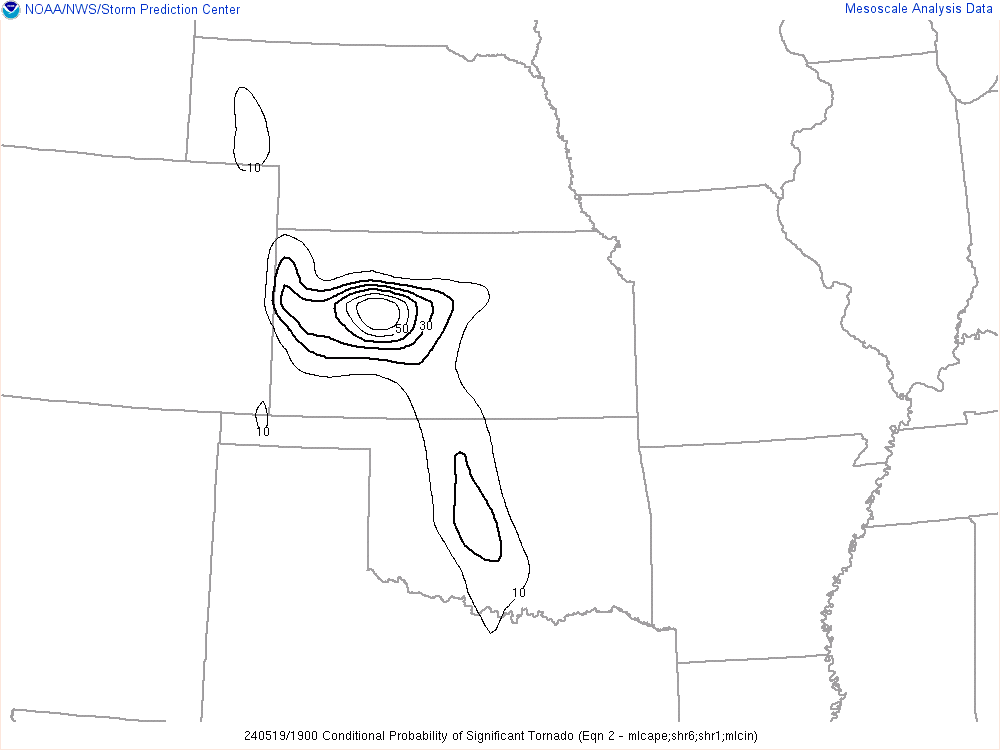
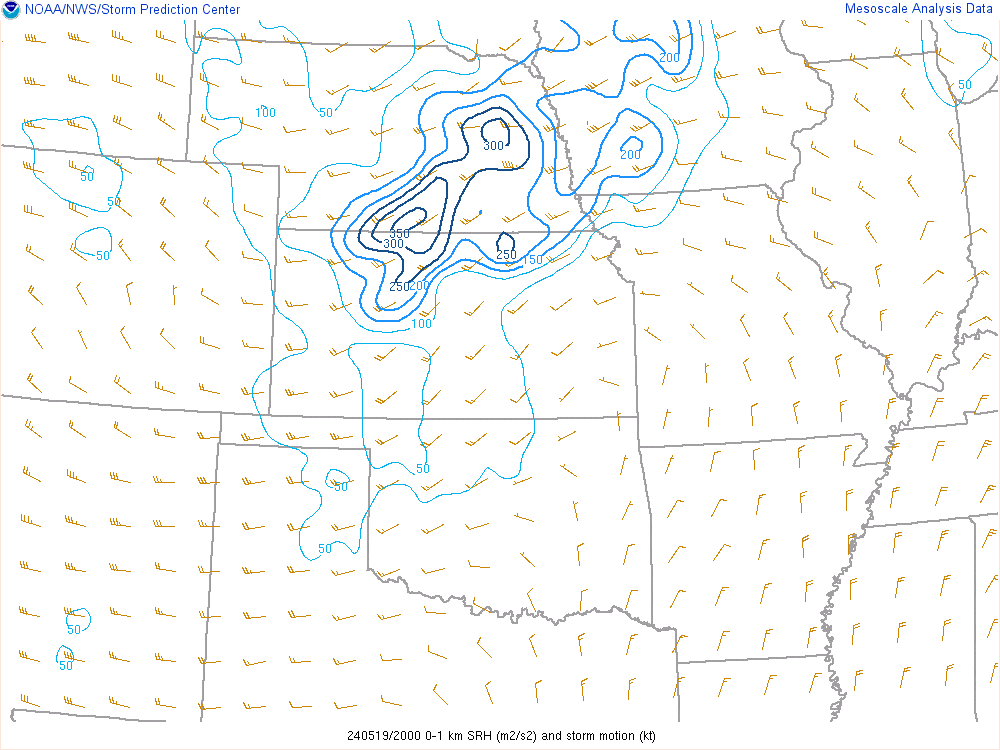
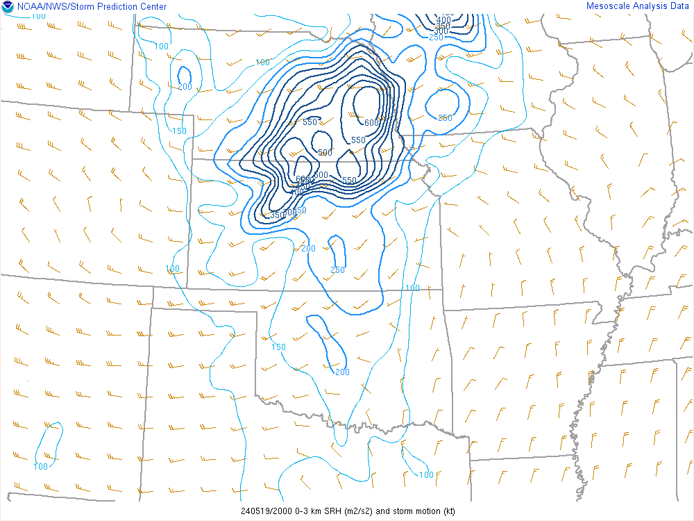
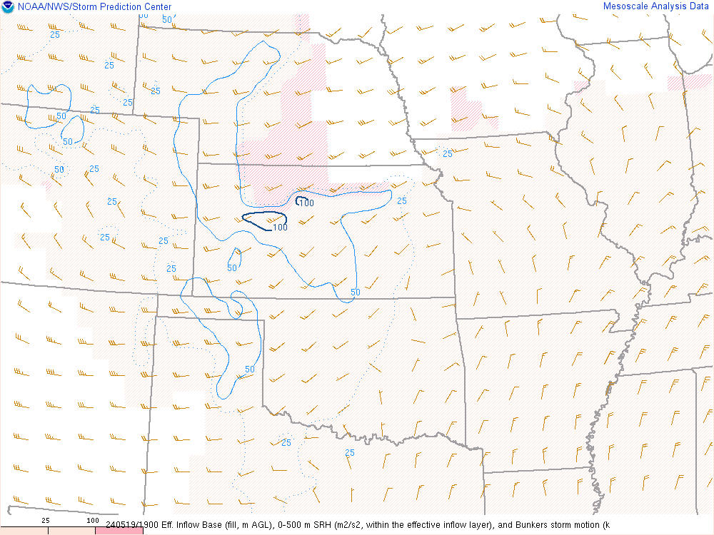
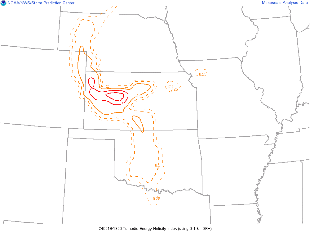
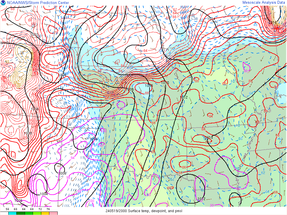
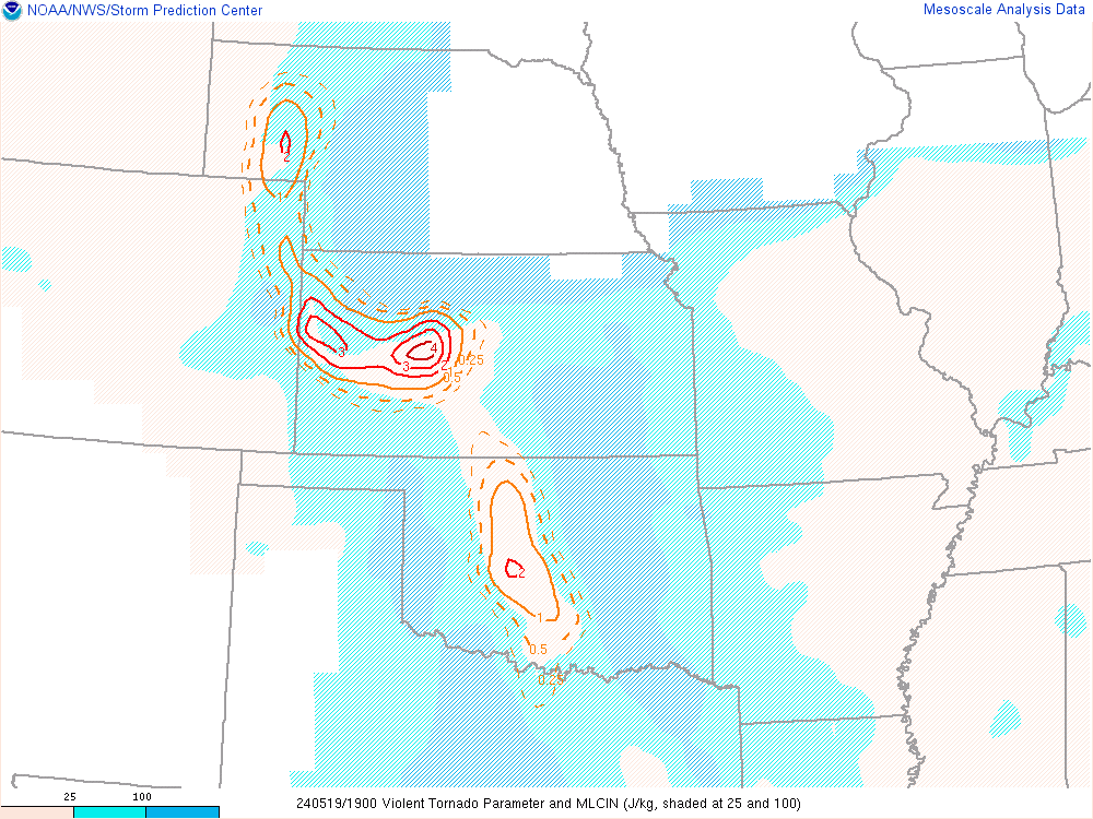
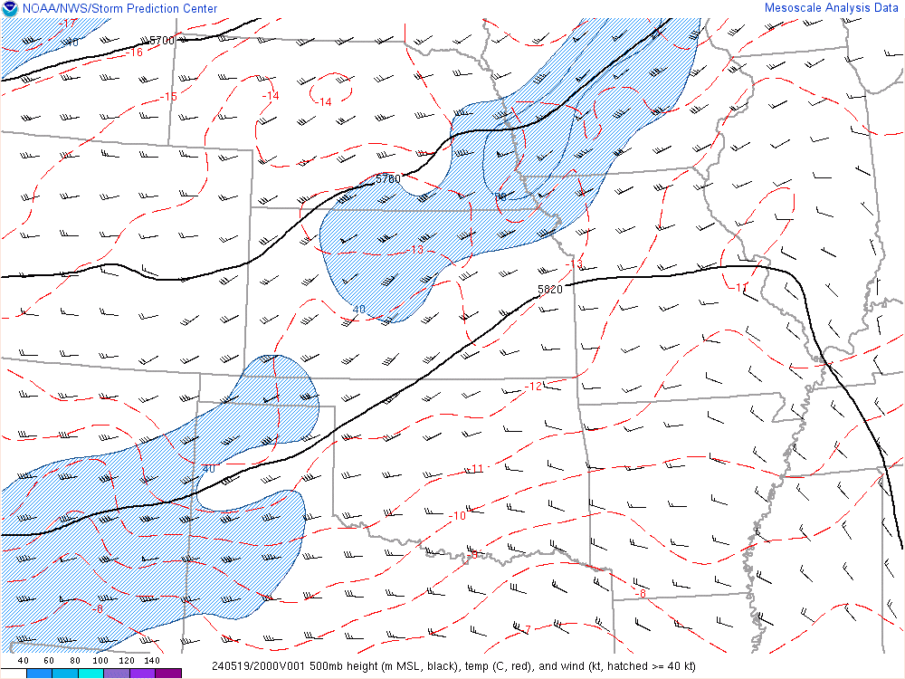
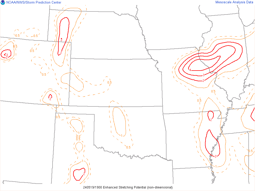
19Z SPC Mesoanalysis
Departure
I left OKC and headed west on I-40 to the Cherokee Trading post where I headed northwest. I drove to Seiling, then headed west on US60. I took that west to Arnett where I stopped to top off my tank and assess the situation. Multiple storms/updrafts had formed near Canadian and were moving east towards the state line.
Navigation Problems
As I left Arnett, I went west on US60. My plan was to drop in front of the storms on the road that went by the Antelope Hills in Roger mills county. I’d take that down to OK-33 west of Roll near Durham.
I started my Journey from US60 heading south on CR175, getting all the way as far south as the Canadian River crossing before having to turn back due to impassable road. The storm on the south end had also blown up significantly and was likely dropping some larger sized hail. I ended up back tracking most of the way to US60. I diverted east on one of the county roads that went to US283.
Major Hail Risk
A quick glance at the radar told me I’d be slow to getting in front of the storm on 283 and would likely end up in hail. Not looking to break up my brand new windshield, I opted to head back to US60 and 25 miles east to Highway 34. I was cursing at myself the whole way for screwing up the navigation that bad on what was a gimme.
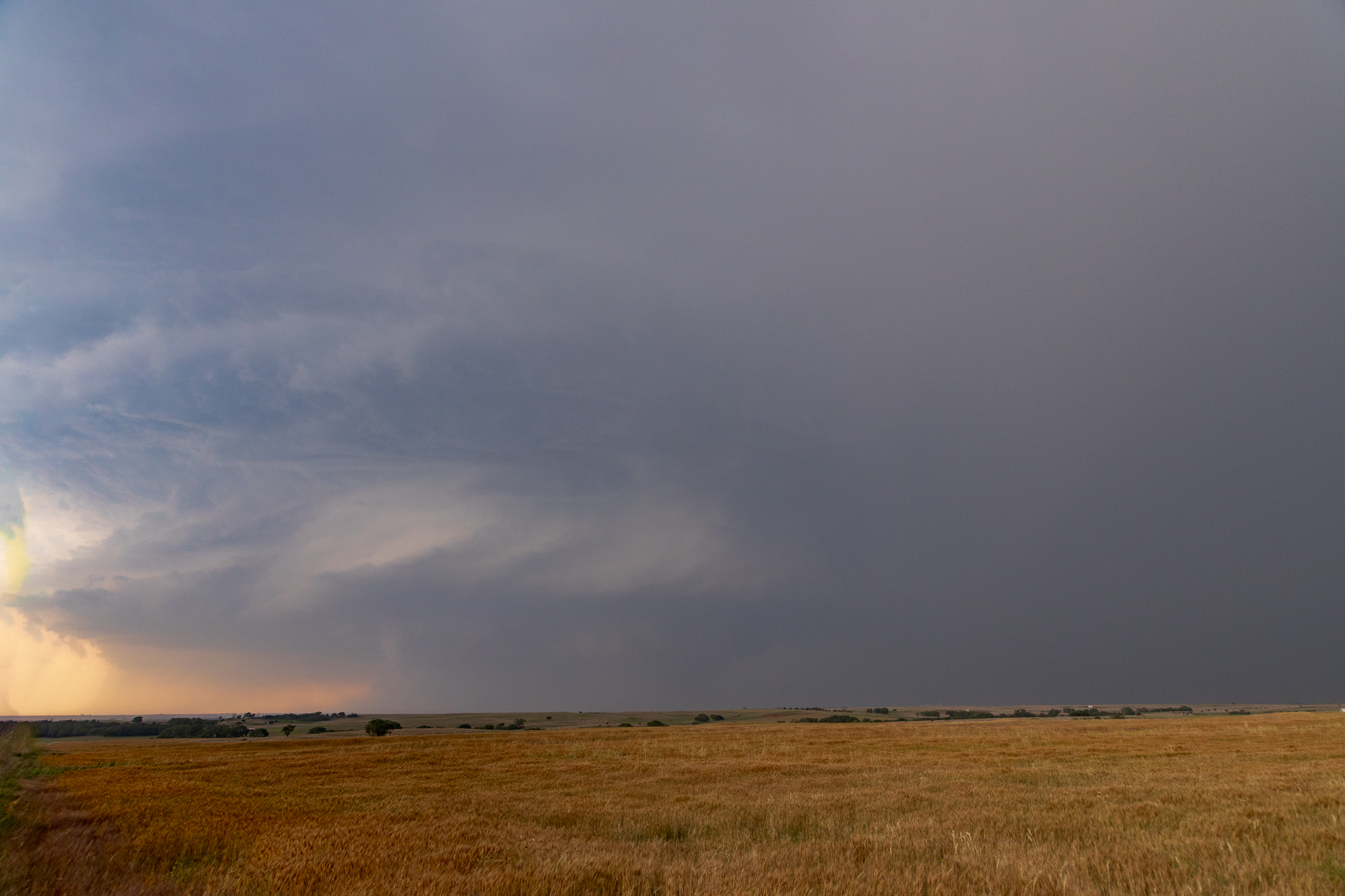
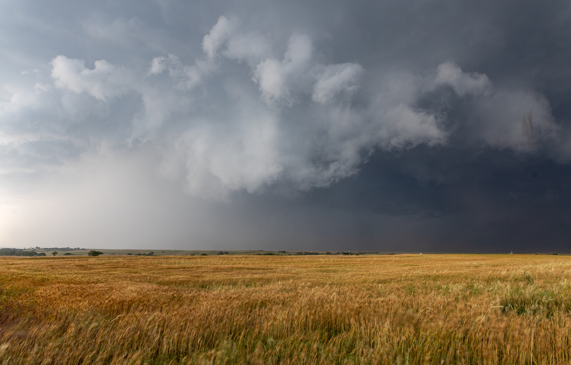
Butler Supercell near Foss Lake
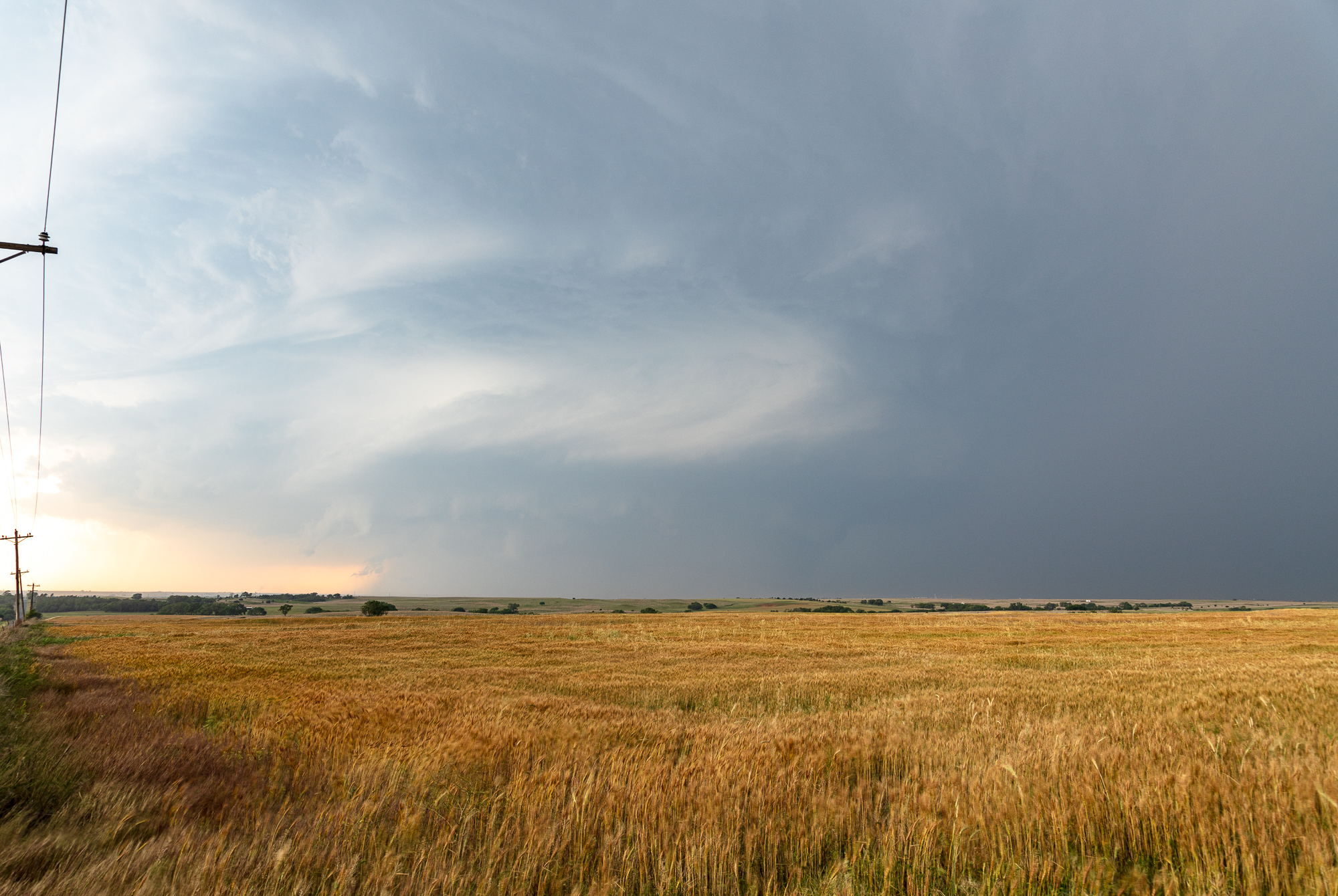
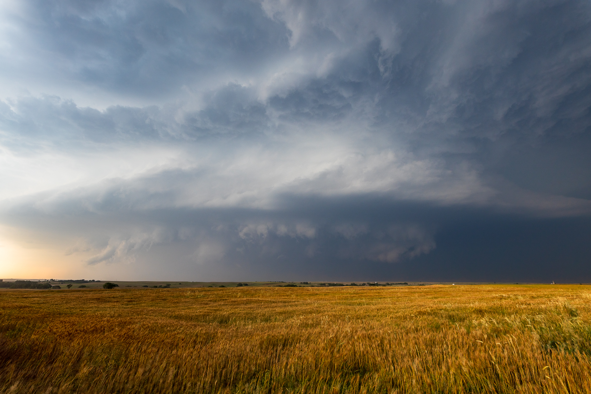
As I dropped south on highway 34, I was getting a good look at the structure of the storm. It was currently to my west, slowly drifting east. The bottom updraft had absolutely taken over and congealed into the main lone supercell in Western Oklahoma. The NWS slapped a tornado warning on it for awhile as I approached and setup ahead of the storm southwest of Butler next to Foss Lake.
The storm structure was quite amazing, and I was able to take some time lapses as the storm slowly moved by. Inflow winds I would estimate to be in the 30-60 MPH range. I could tell this was an intense supercell. I still was not prepared for what happened next.
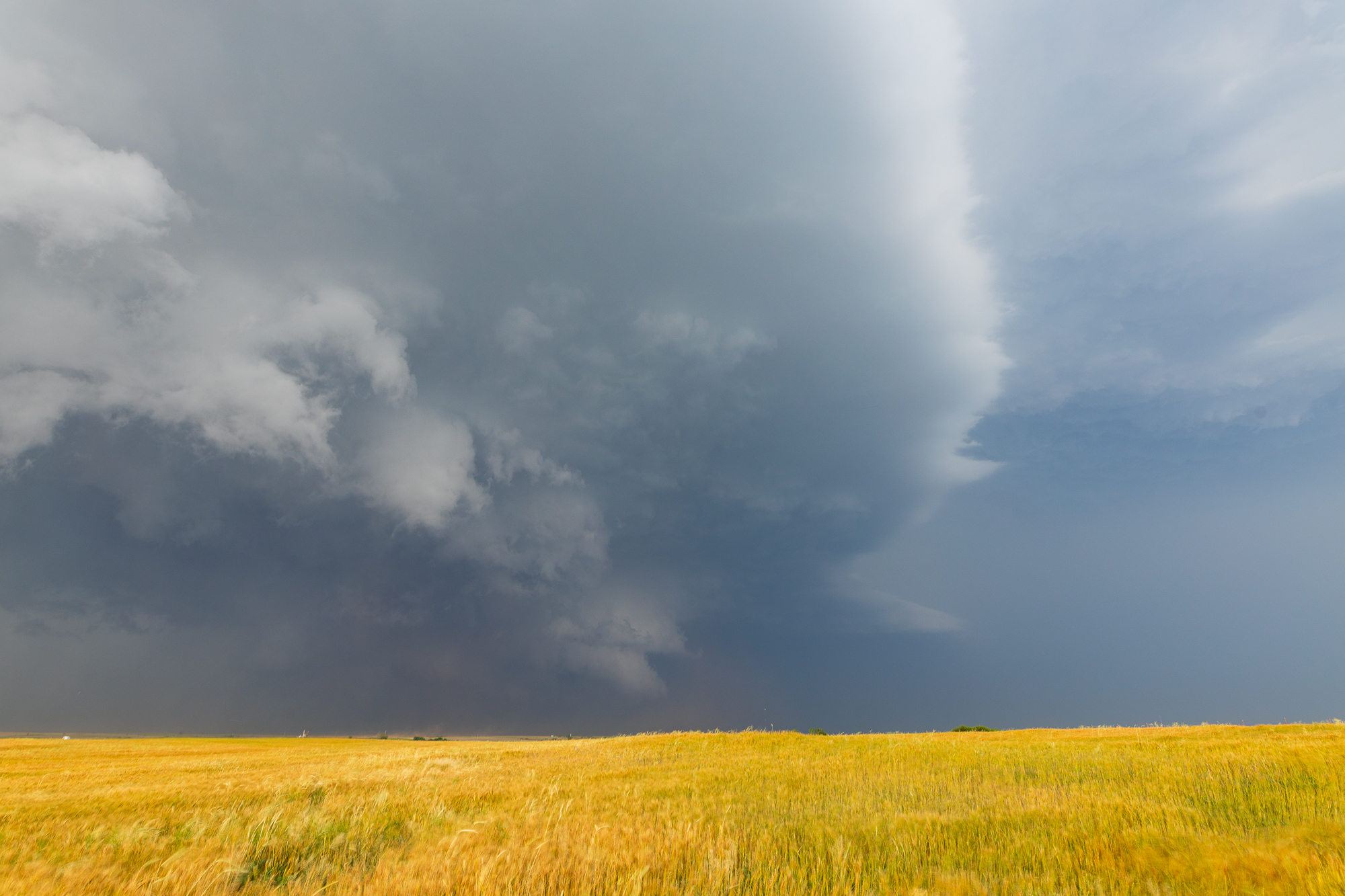
Custer City Tornado
I continued heading east on back roads south of highway 33, eventually coming to US183 in Arapaho. The storm was beginning to wrap up very strongly, and suddenly a wedge appeared from the south side as I headed north on 183.
I headed north of highway 33 (west) and stopped at the highway 33 (east) intersection waiting to see if it was turning more east or north. The tornado seemed to parallel 183 for a mile or so. I proceeded 2 miles north on 183 where it crossed. That is where I headed back south to highway 33 (east) to Custer City.

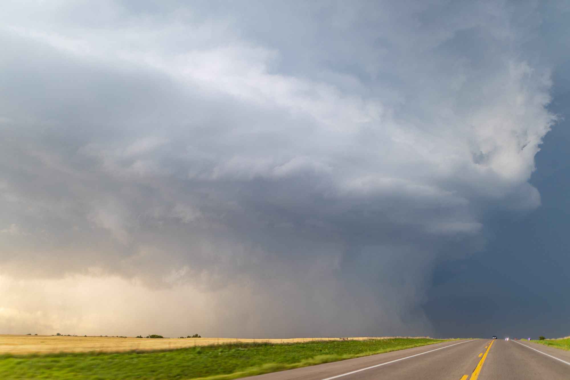
Hydro Oklahoma Tornado
After the Custer City tornado, the storm seemed to turn a bit more to the southeast. I remained somewhat ahead of it as I navigated back roads in Custer County. Unfortunately I found myself behind a couple people going 15-20 under the posted speed limits of 45 and 55. I found myself in the forward flank and then RFD as I passed north of Weatherford on OK-58. Luckily I was able to eventually pass and avoid the large stones the storm was belching. I dropped south on 58 into Hydro and then took Route 66 east.
Off to my left (north) I witnessed an anticylonic tornado on this storm. I was approximately 2-3 miles west of Bridgeport and would estimate the tornado was up in the Canadian River valley. As the twilight changed over to darkness, I found myself on Spur US281 and the old route 66 intersection. I believe there may have been a tornado in the rain, but I was unable to decipher from my vantage point.
I headed down the spur to the Cherokee Trading post, heading east on Route 66 again.
El Reno Nocturnal Tornado
As I headed east along 66 I decided I needed to bail a mile or two south of 40. I dropped south on Maple Road with plans to go to Reno to 81. Unfortunately I ran into a tree blocking the road, so I had to back track and ended up on SW 27th at Country Club road at the I-40 interchange. I should have jumped on 40 to get to 81, but opted to drop south on Country Club road.
I dropped south on 81 to Union City and east on 152. I noticed a lowering which coincided to a new circulation on radar. I kept watching as I was dropping south as witnessed the El Reno Tornado drop down. I raced east and north, getting pretty close to the tornado by the time it roped out or disappeared in the rain.
Mustang
I dropped back to 152 and headed east through Mustang. Multiple stop lights slowed me way up. As I approached 74th, I exited 152 and zig zagged around the airport, eventually getting on 104th.
As I neared I-44 I decided to call the chase. The storm was showing signs of dying and I was only 15 minutes from home.