Storm Chase Details
Miles Logged: 282
States Chased: OK
Largest Hail Encountered: 1.00 in.
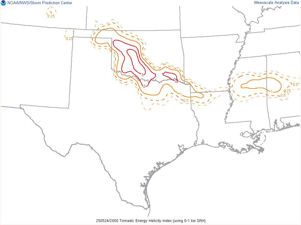
Severe Risks: SPC Outlooks
Severe Reports: Storm Reports
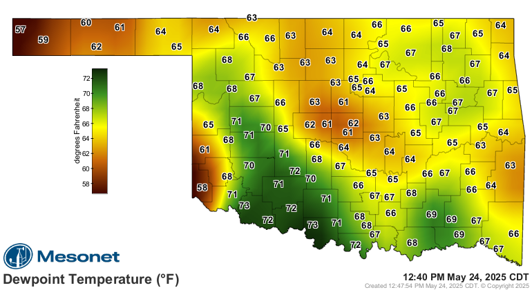
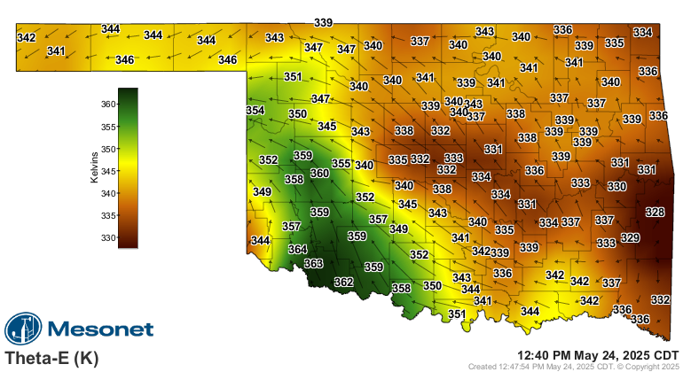
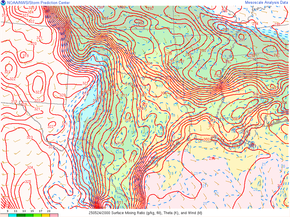
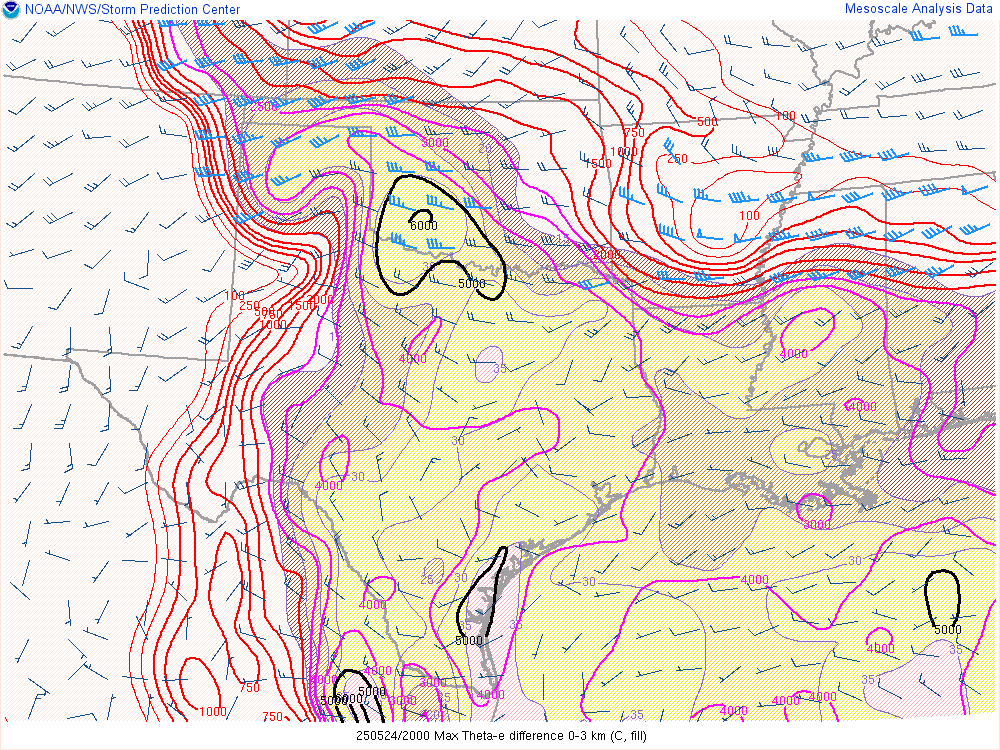
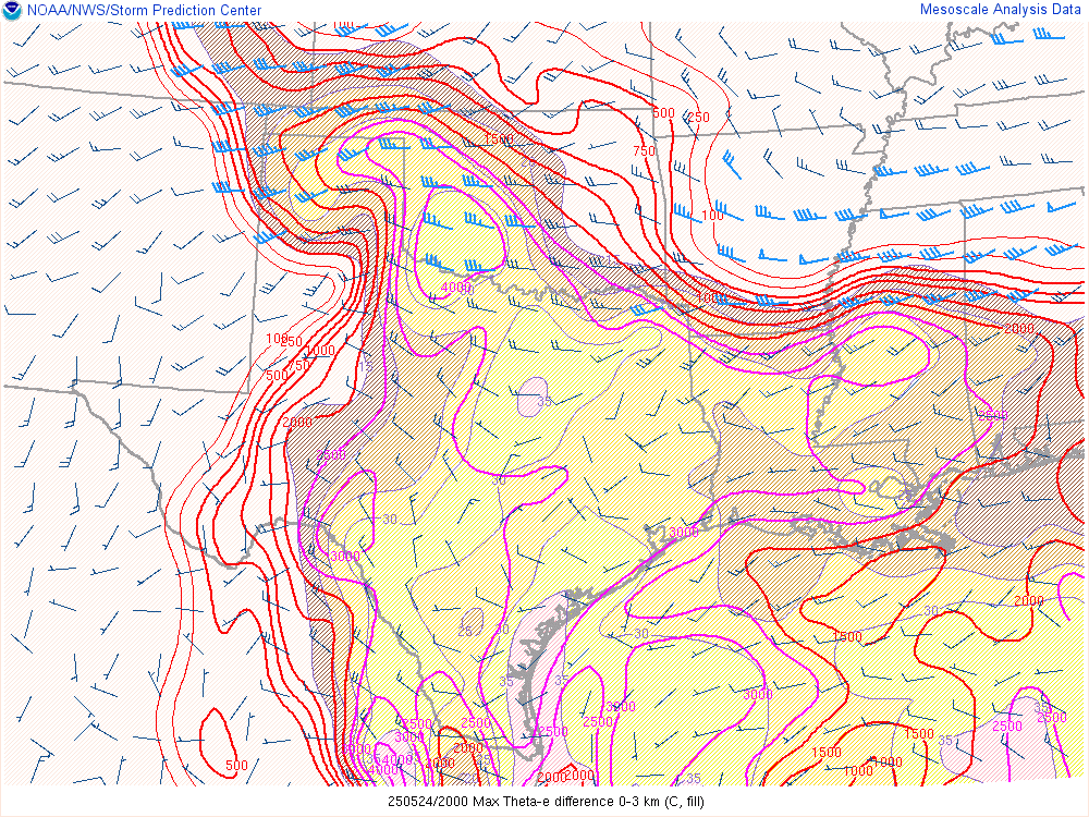
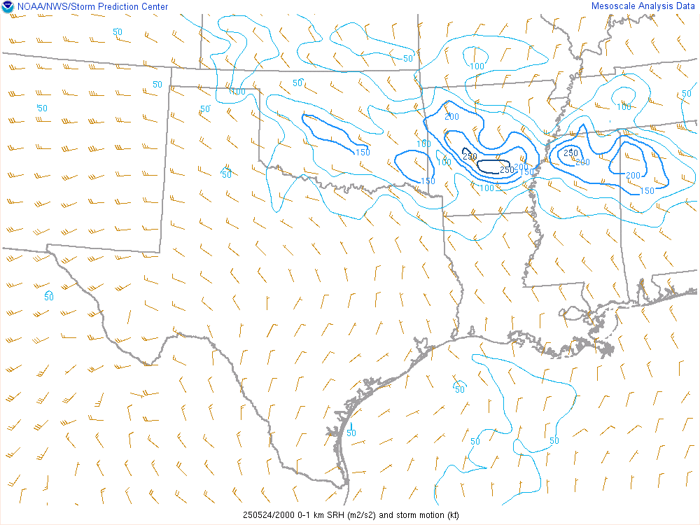
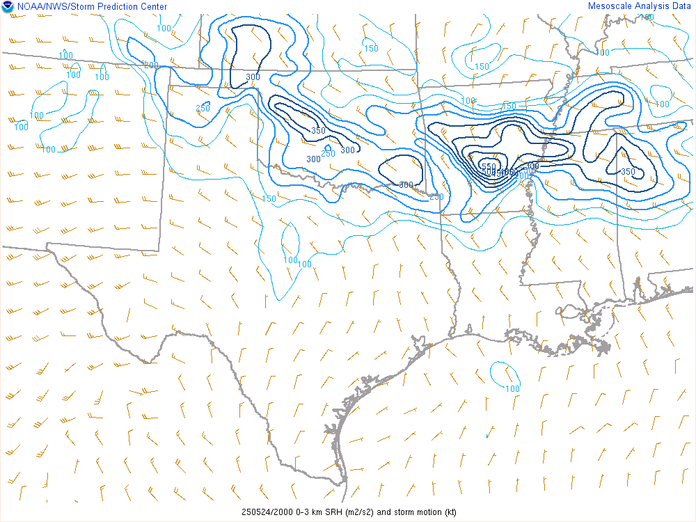
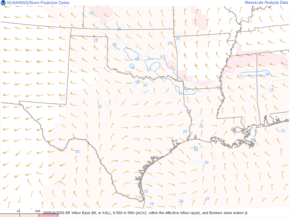
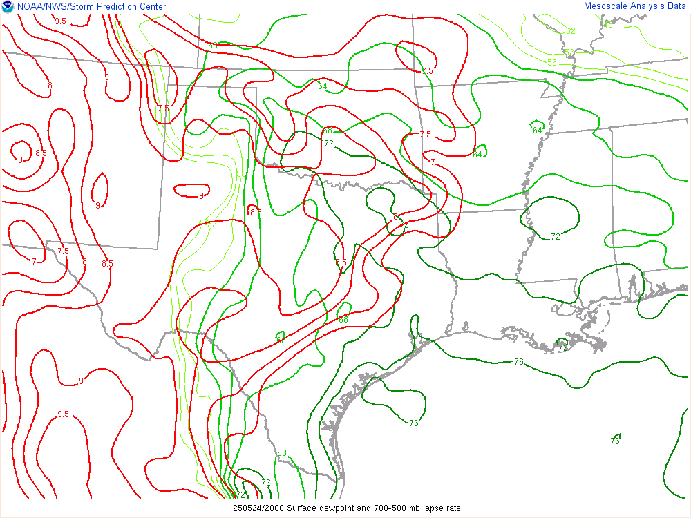
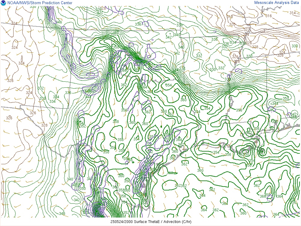
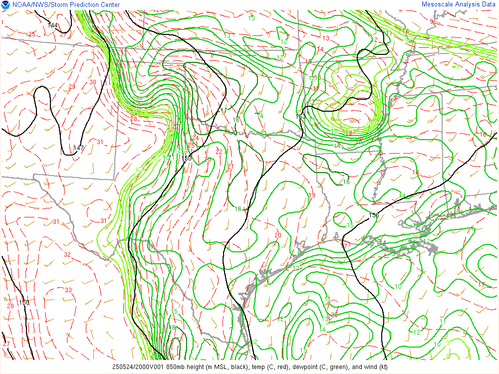
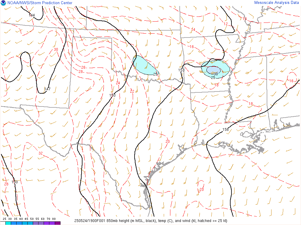
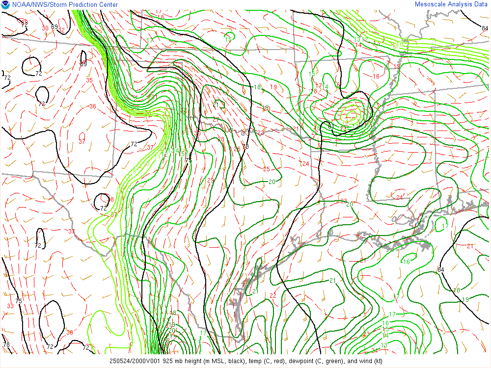
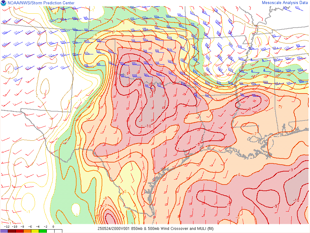
Dewpoint and Theta E
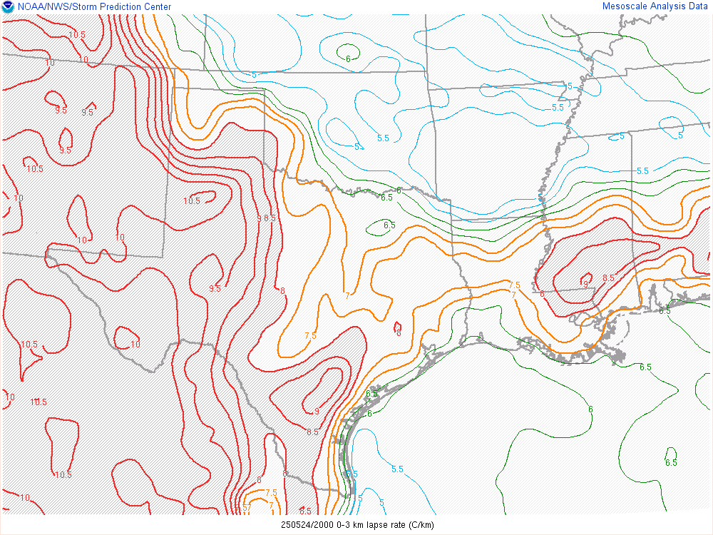
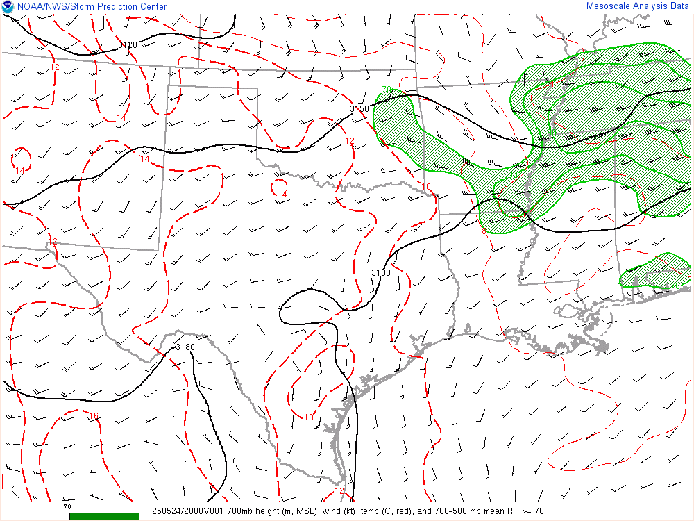
As afternoon fell, there was still a very pronounced area of moisture in Southwest and Western Oklahoma with a sharp gradient between the more stable/less moist air in Central Oklahoma/OKC Metro.
Chance and I decided to take a short trip west just in case. It was a Saturday evening and the Thunder were on, which we could watch on the laptop in the vehicle.
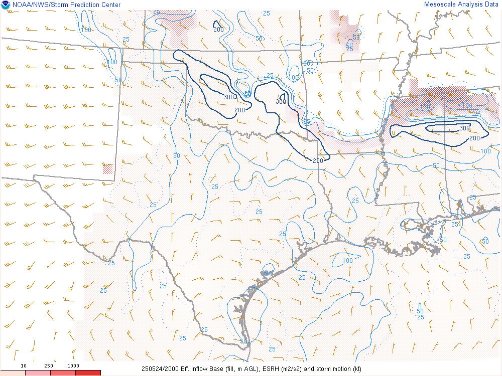
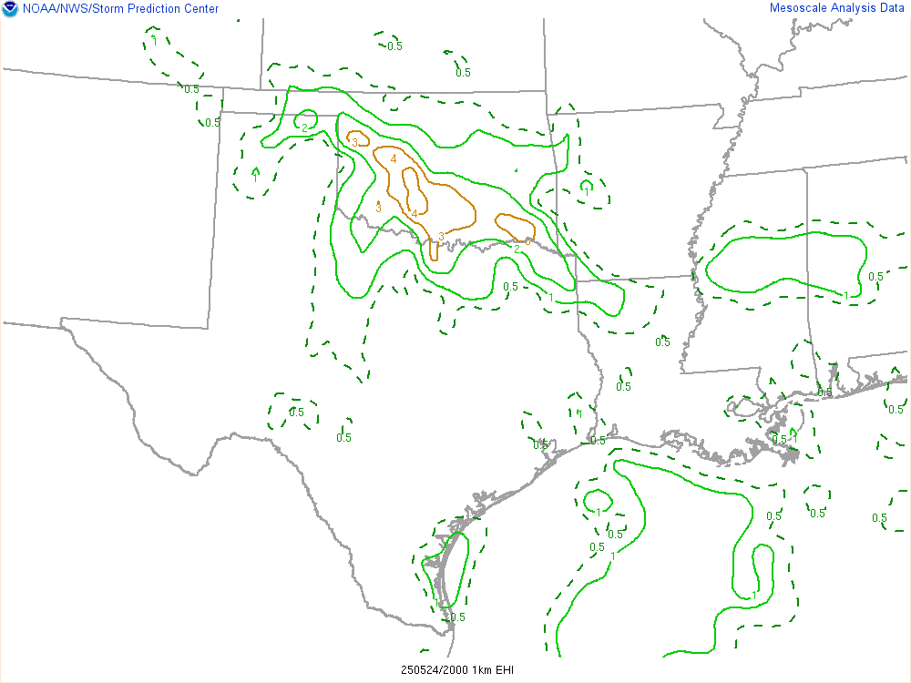
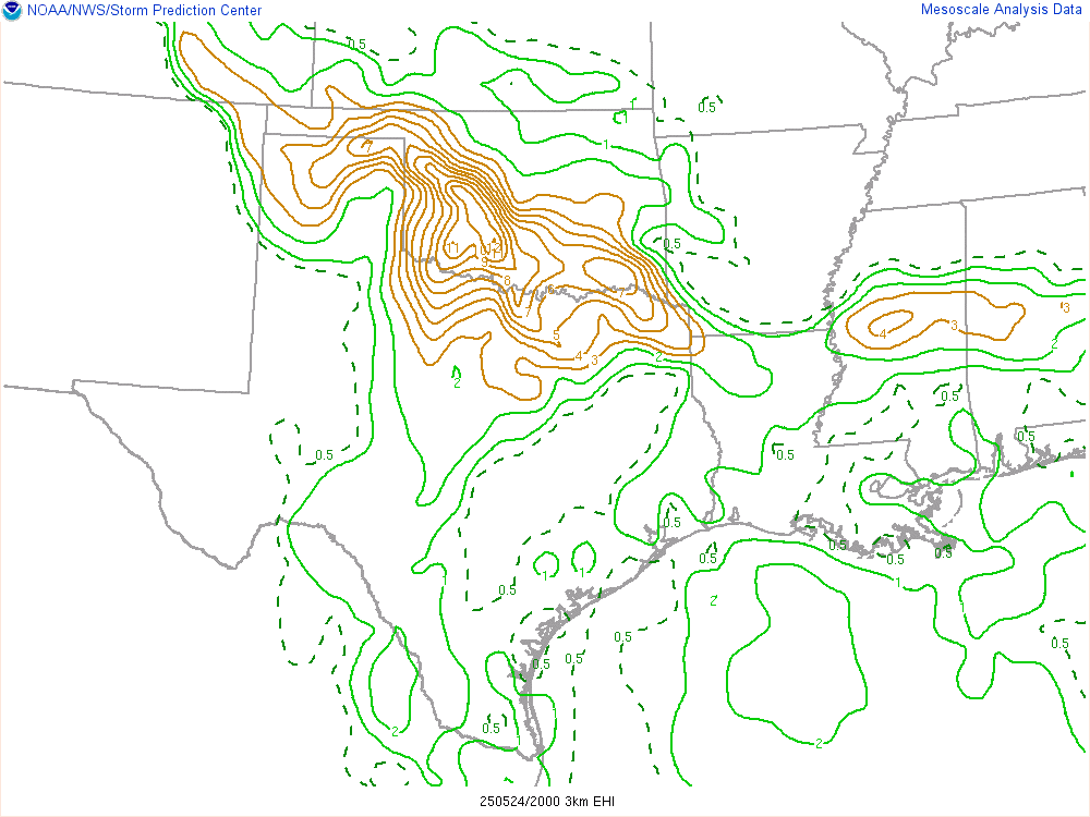
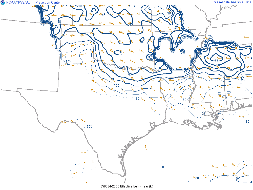
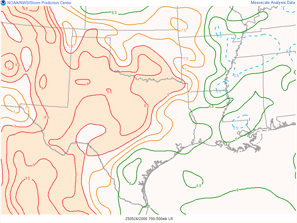
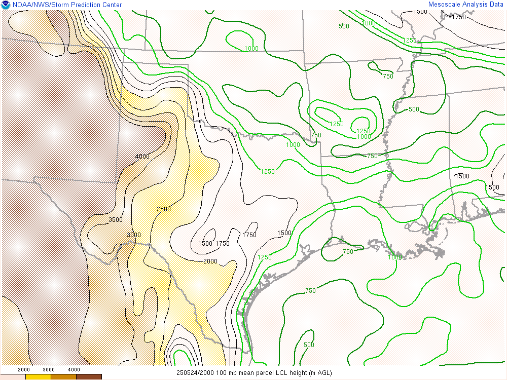
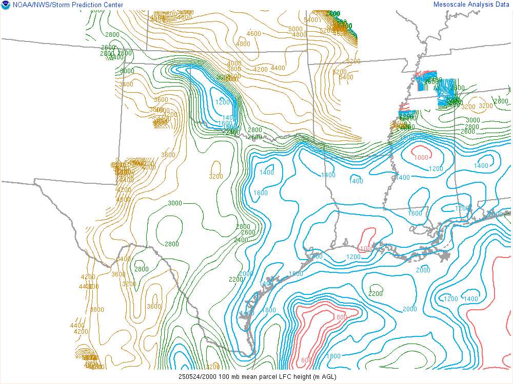
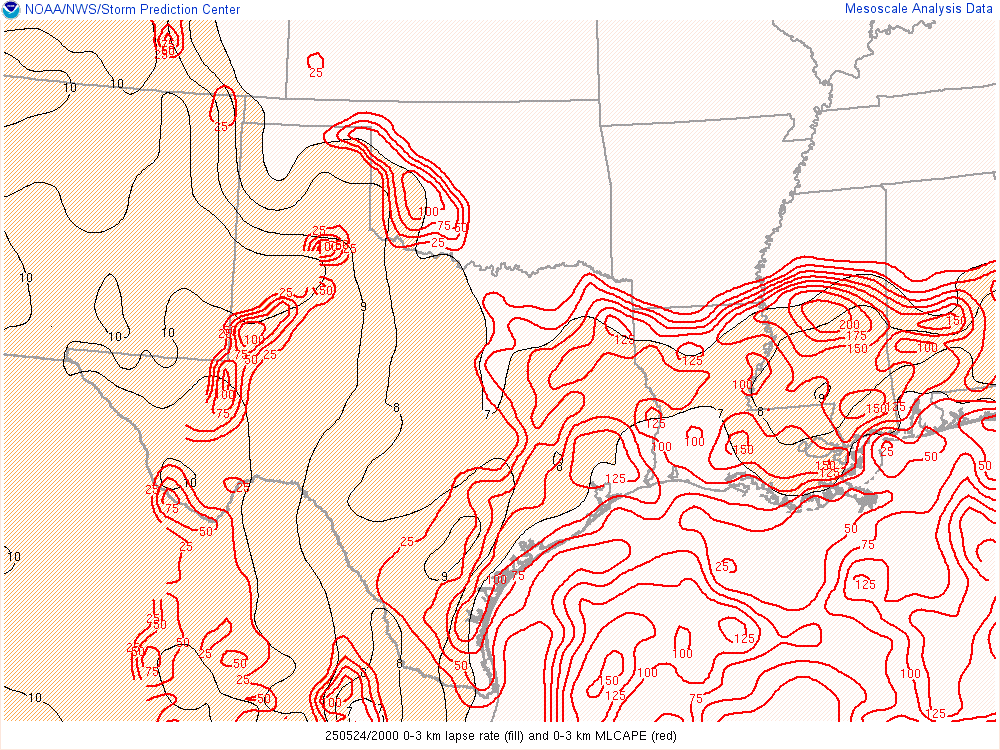
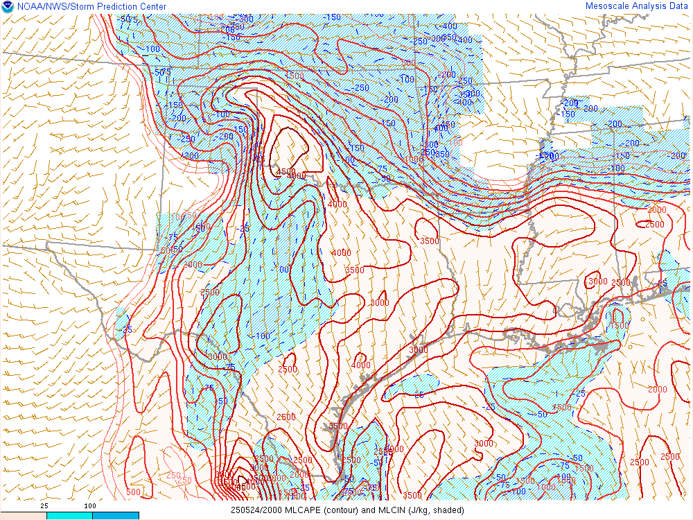
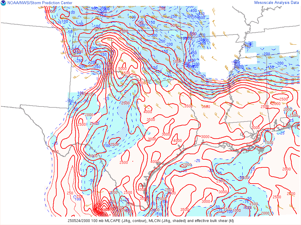
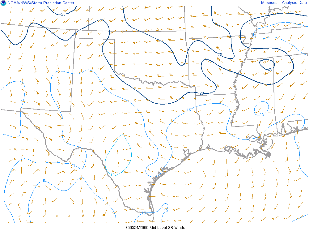
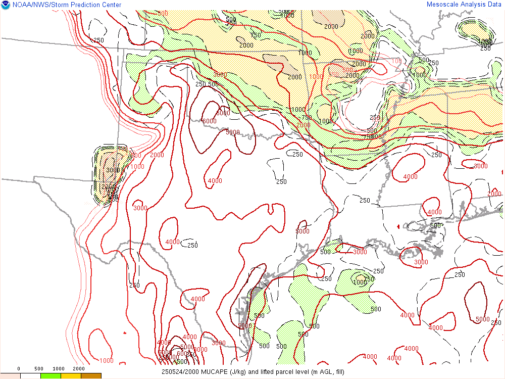
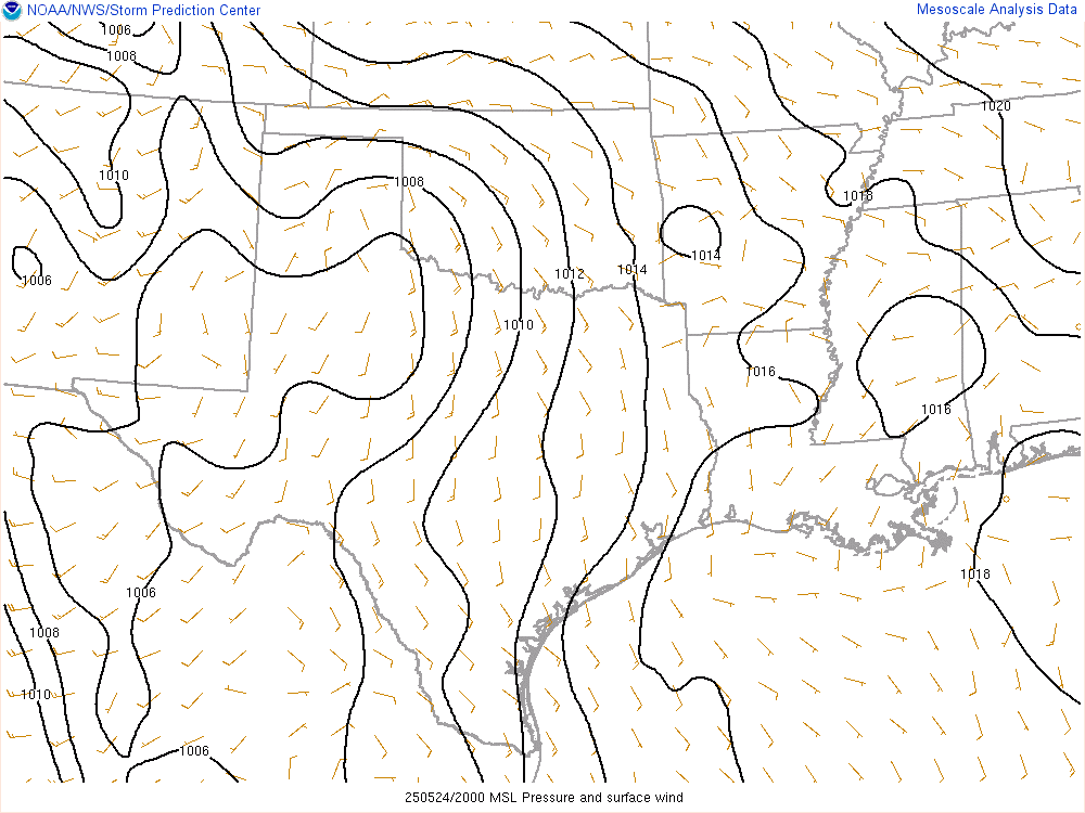
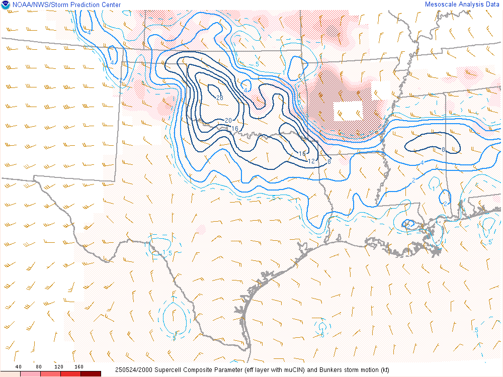
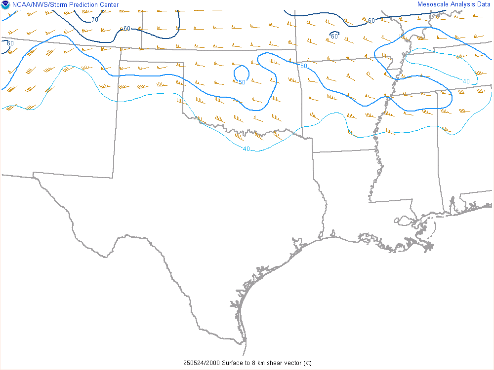
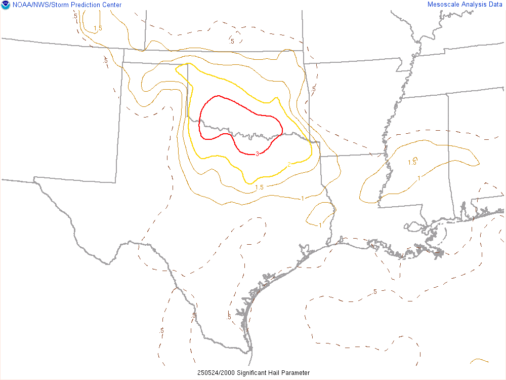
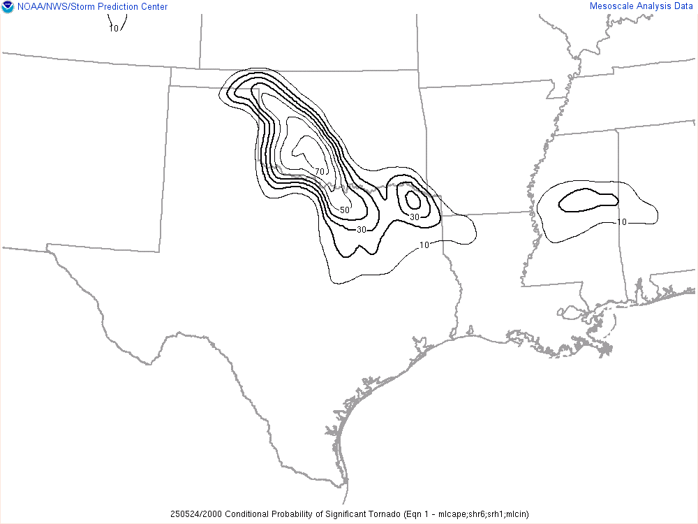
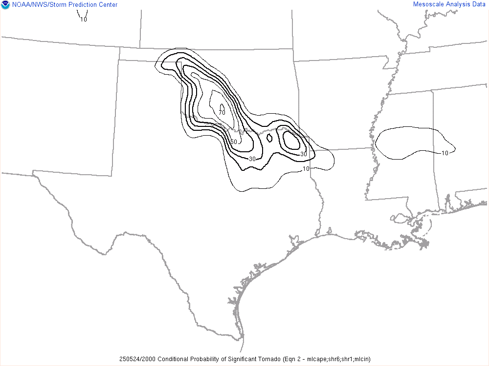
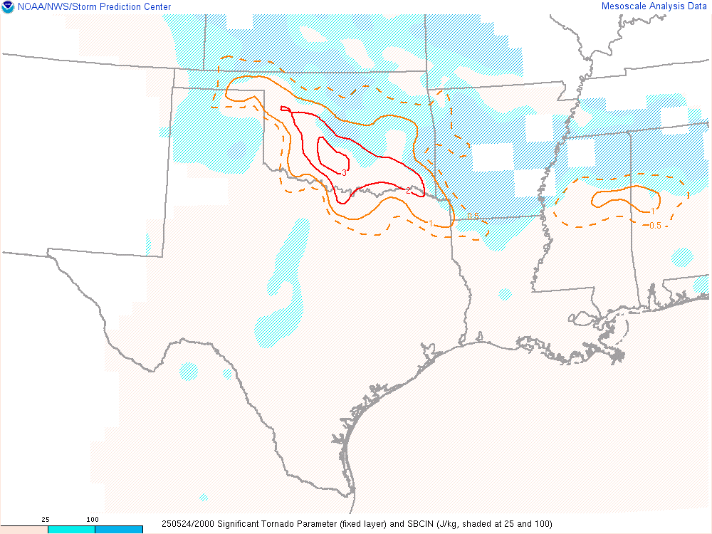
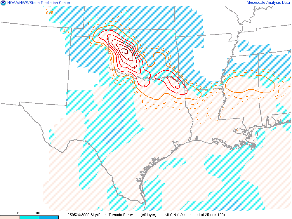
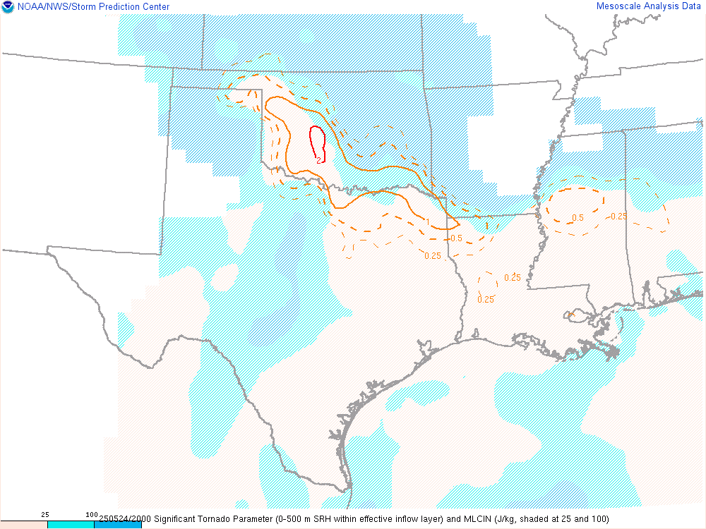
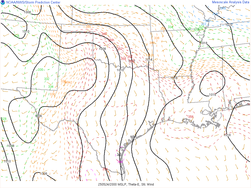
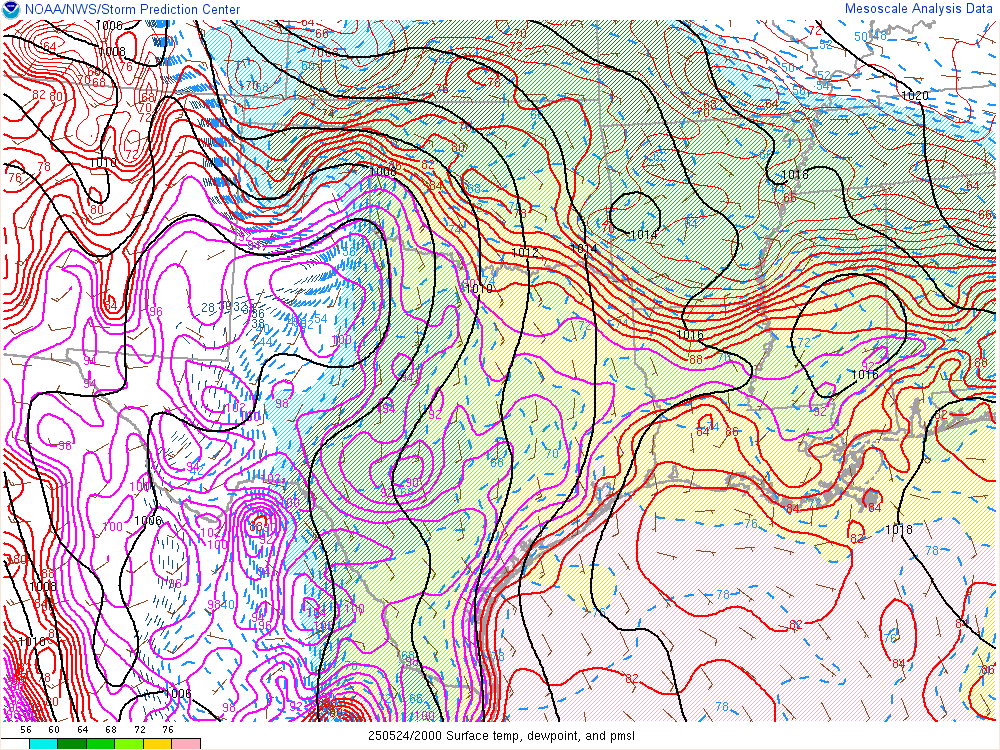
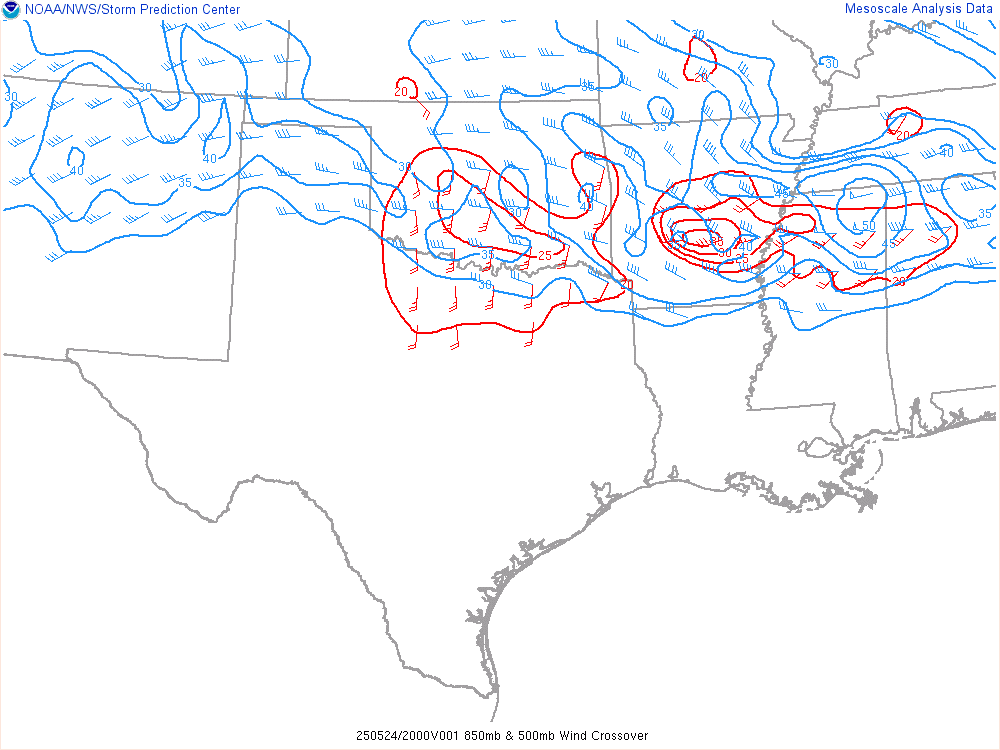
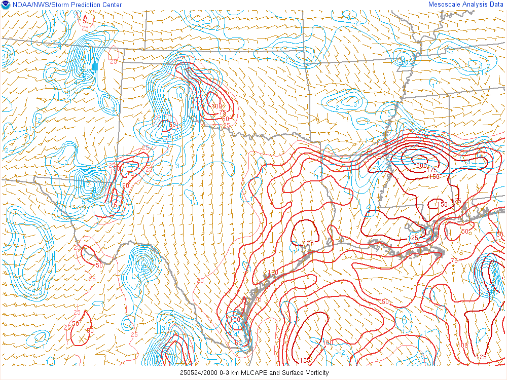
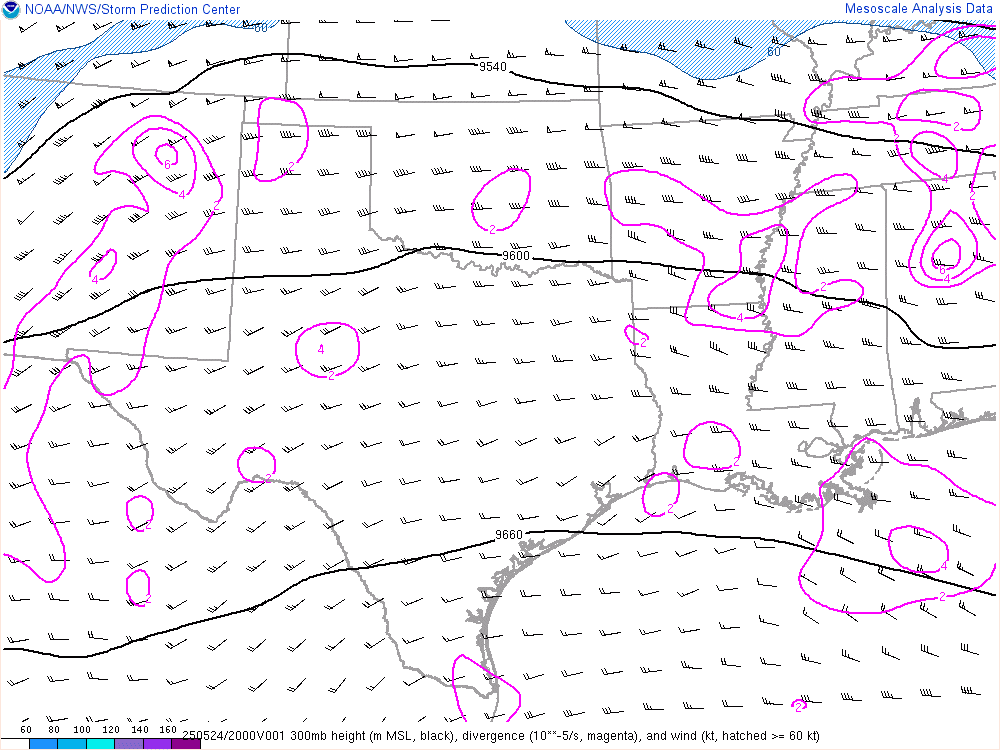
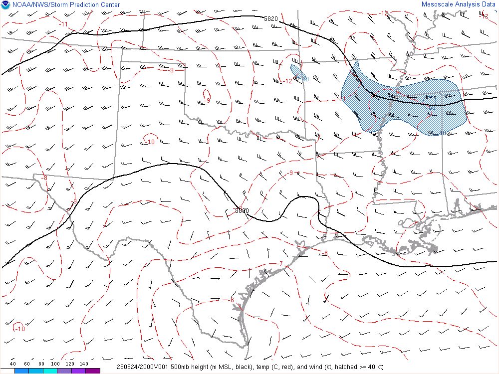
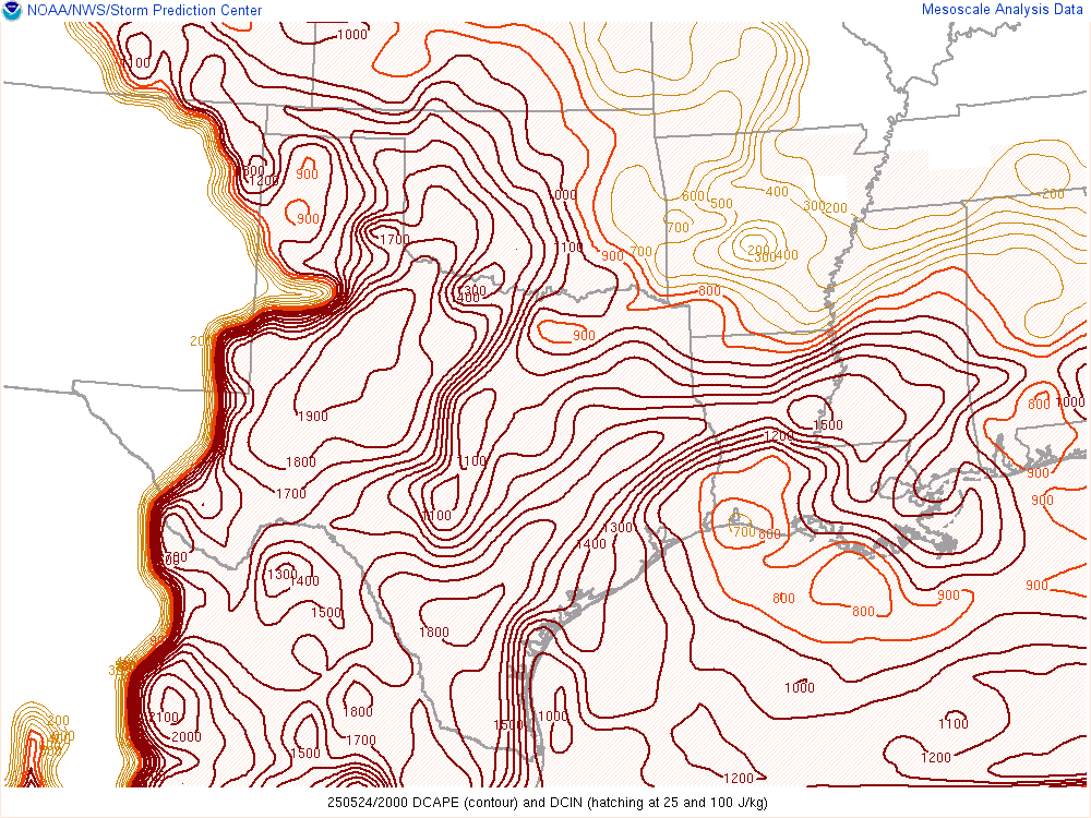
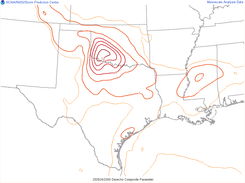
19Z SPC Mesoanalysis
We headed west from Norman along highway 37 for many miles, continuing onto 152 near Binger. We ended up taking it all the way to Cordell before heading up to the Domino Stop in Clinton. After spending 15-20 minutes there, we drove up and found a place to hang out just west of Custer City on highway 33.
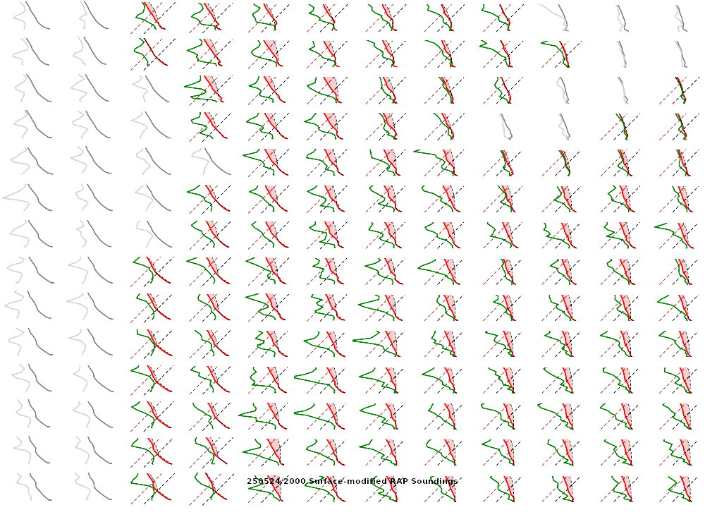
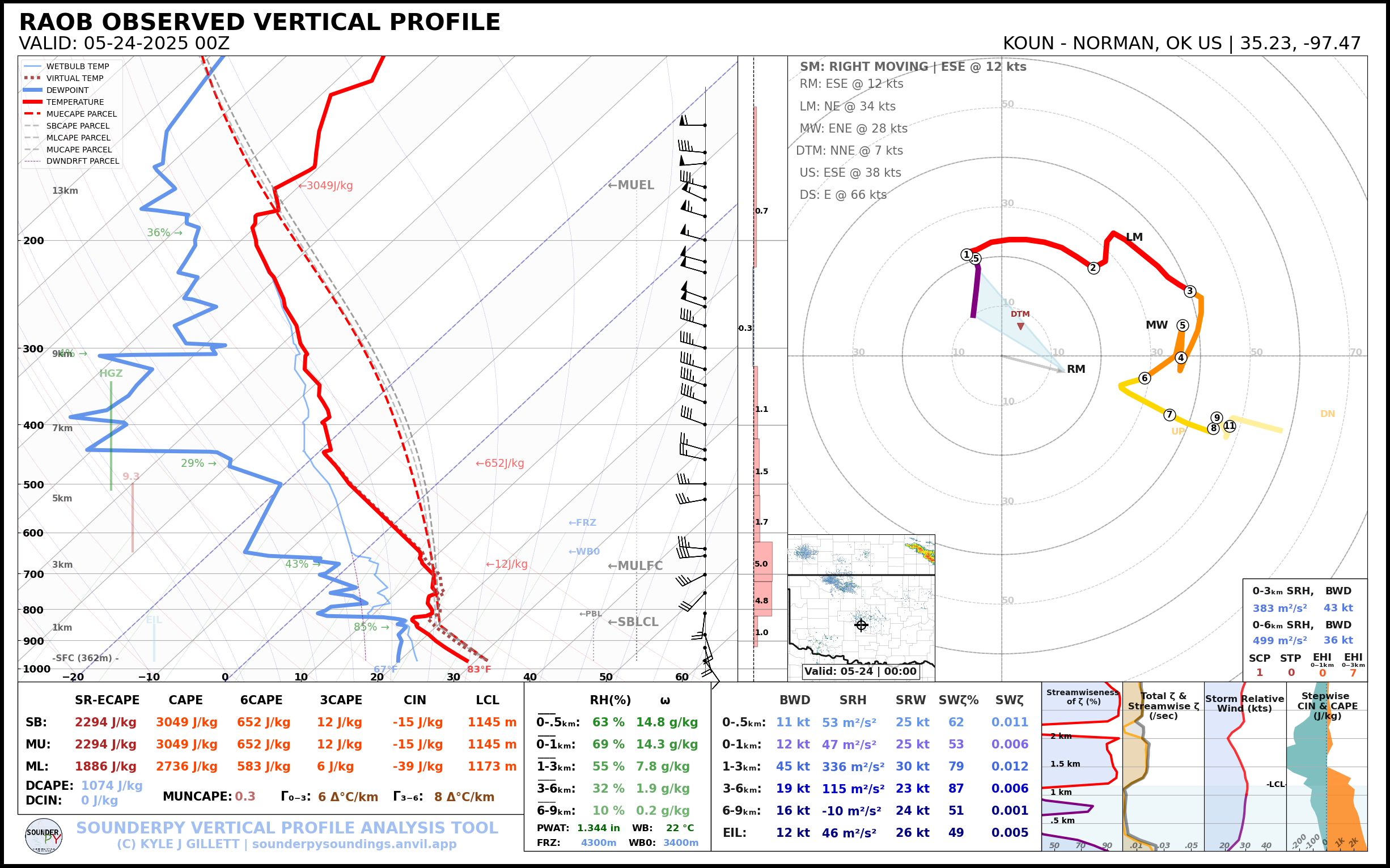
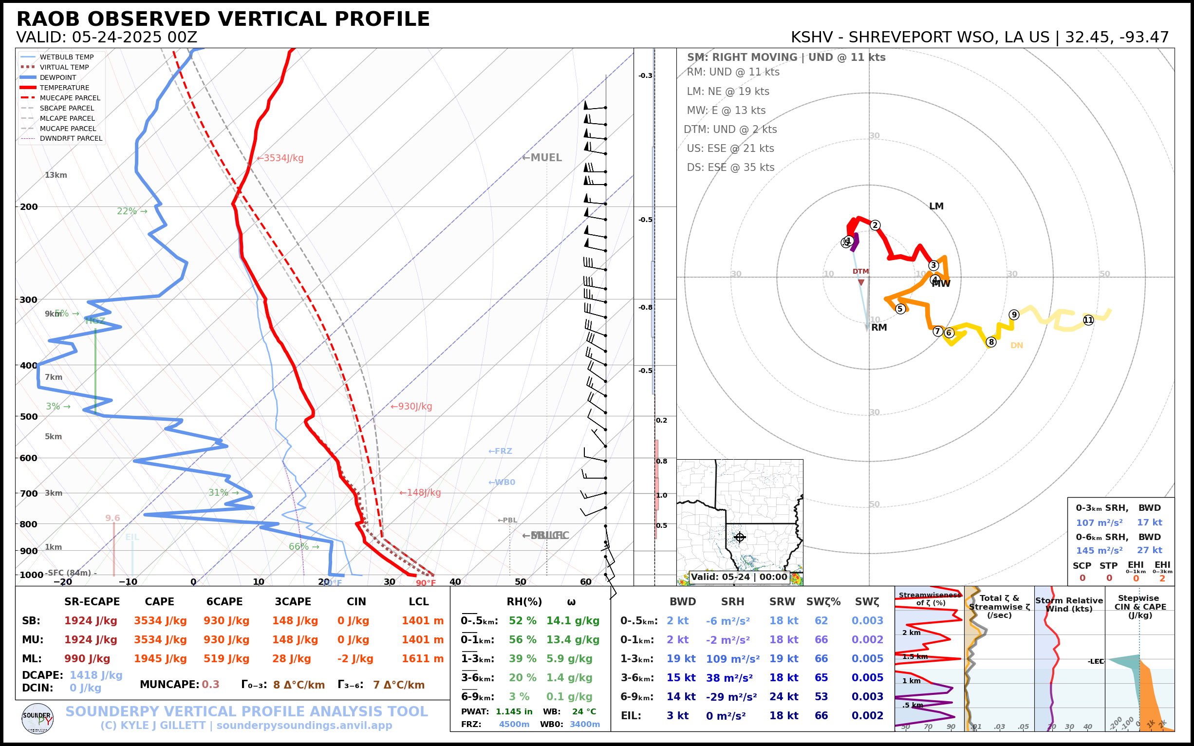
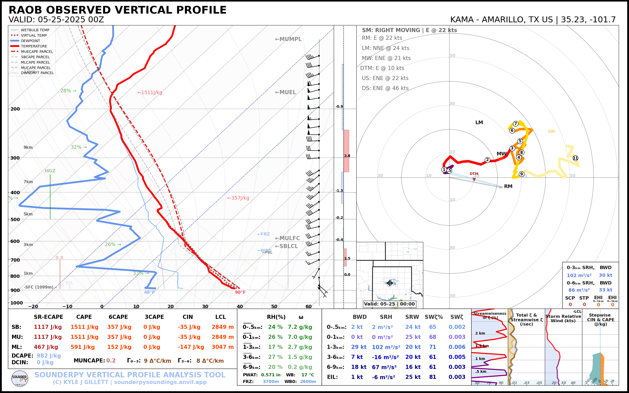
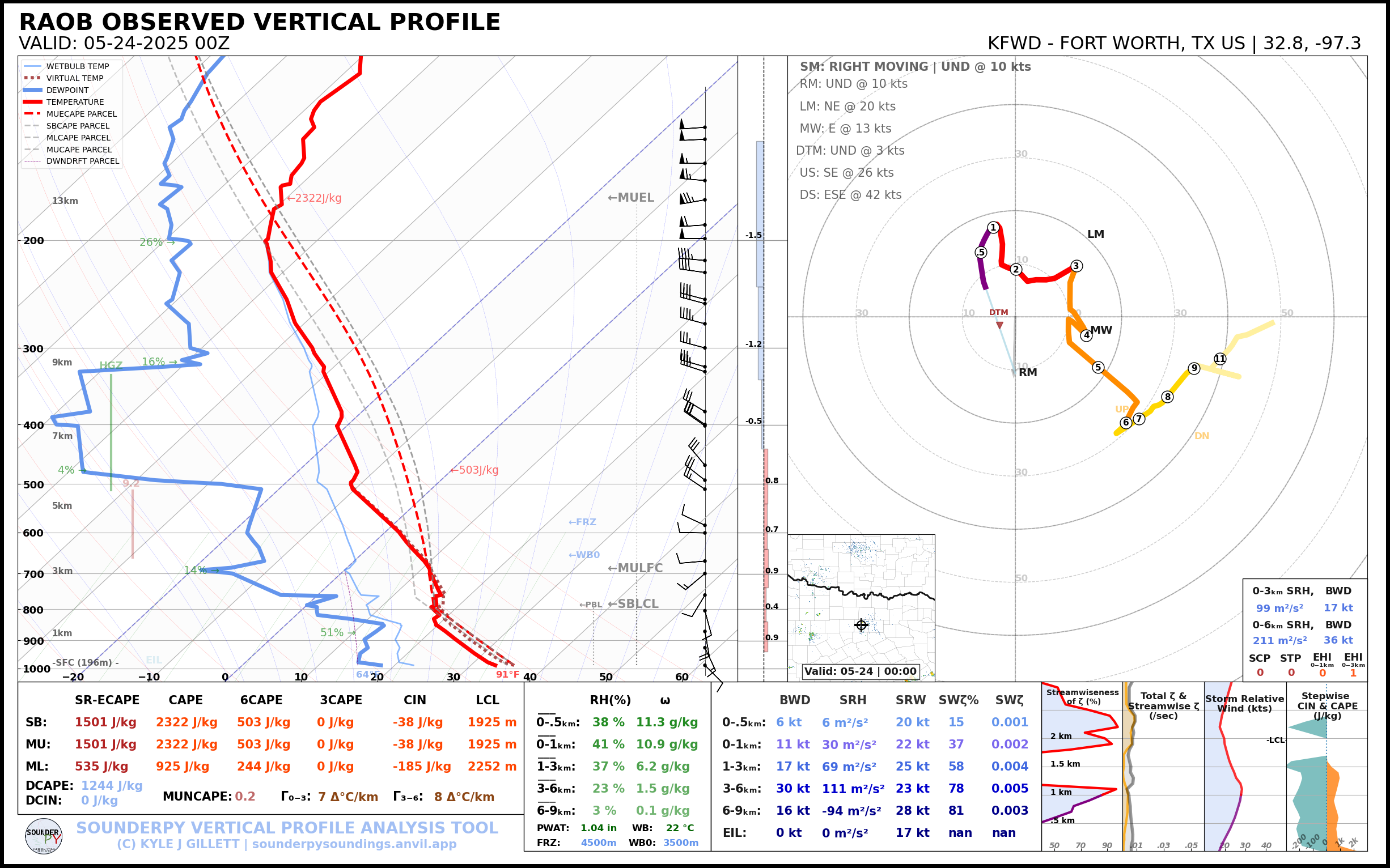
00Z Observed Soundings
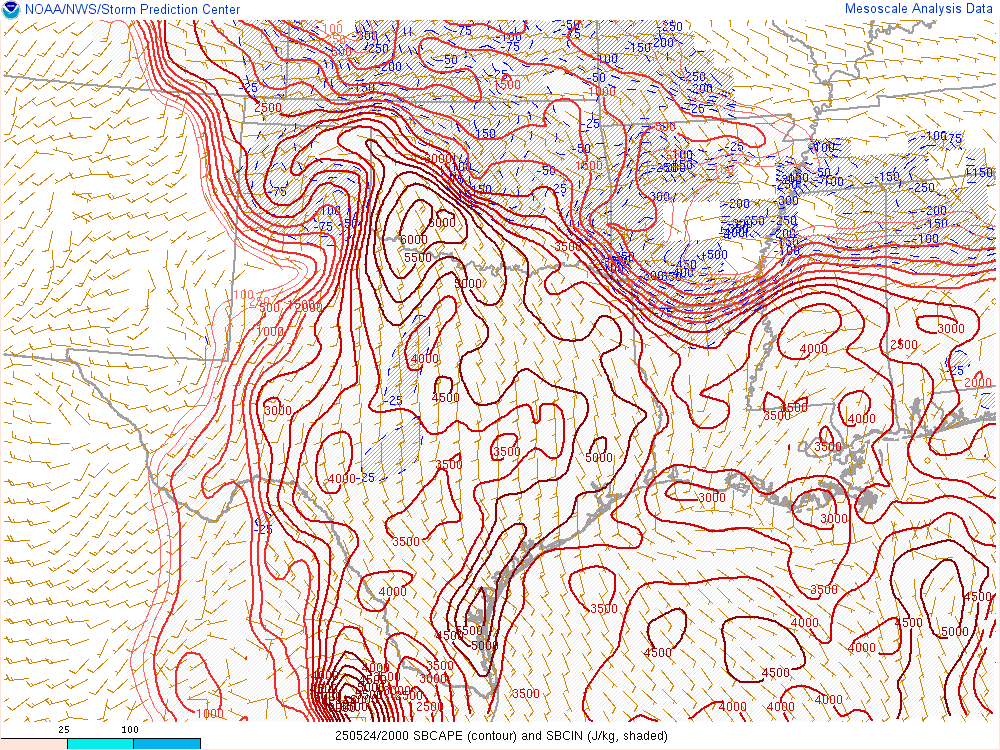
Still a strong warm nose between 700 and 800mb on the 00Z Norman sounding. Convective Initiation was still questionable, however, right after sundown we started seeing radar reflections.
We’d end up north of Watonga on this supercell as it passed to the north. Some long exposure photography revealed great supercell structure.

The Watonga supercell had a nice look in person and on radar. Meanwhile, the supercell to the west went tornado warned. I never ended up seeing any tornado photos come from that storm, but it also looked nice on radar.
We hung around the Watonga airport as the storm drifted across the Oklahoma landscape.

At some point the storm started evaporating from the bottom up and by midnight the storm had pretty much dissipated completely. We headed back to Norman.


