Storm Chase Details
Miles Logged: 607
States Chased: TX
Tornadoes Witnessed: 3
Largest Hail Encountered: 1.75 in.


Spotter Network Reports: 1
Severe Risks: SPC Outlooks
Severe Reports: Storm Reports
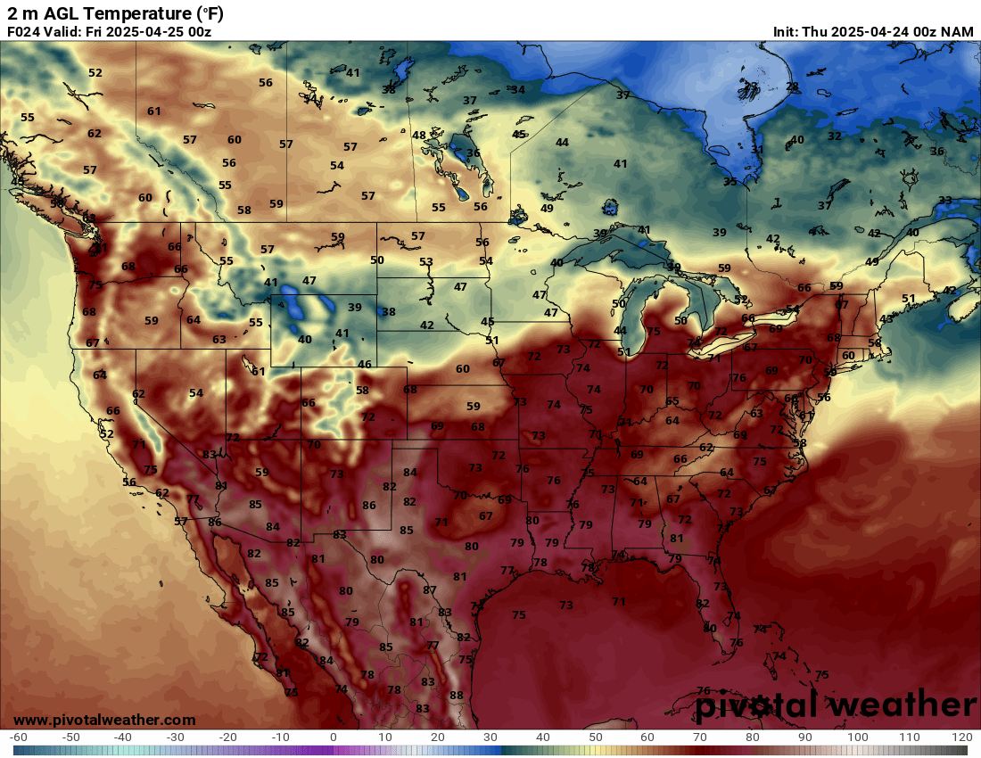
I was on the fence about chasing on Thursday the 24th. I awoke to our normal springtime morning MCS rolling through the OKC metro. The previous day, the 23rd, was a prolific hail and structure producer. However, dewpoints were higher on the 24th as well as boundaries to play with. Either way, it appeared to be a later show, so I’d have some time to mull it over as I got some work done during the day.
Forecast
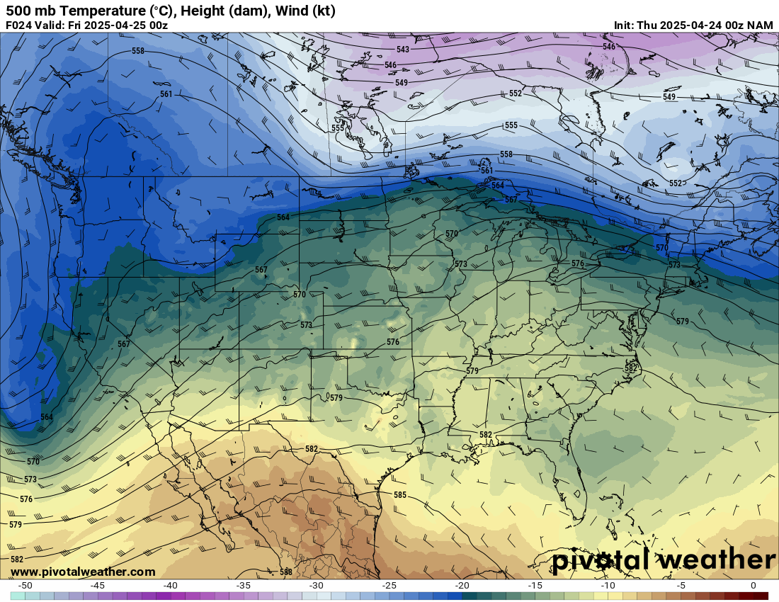
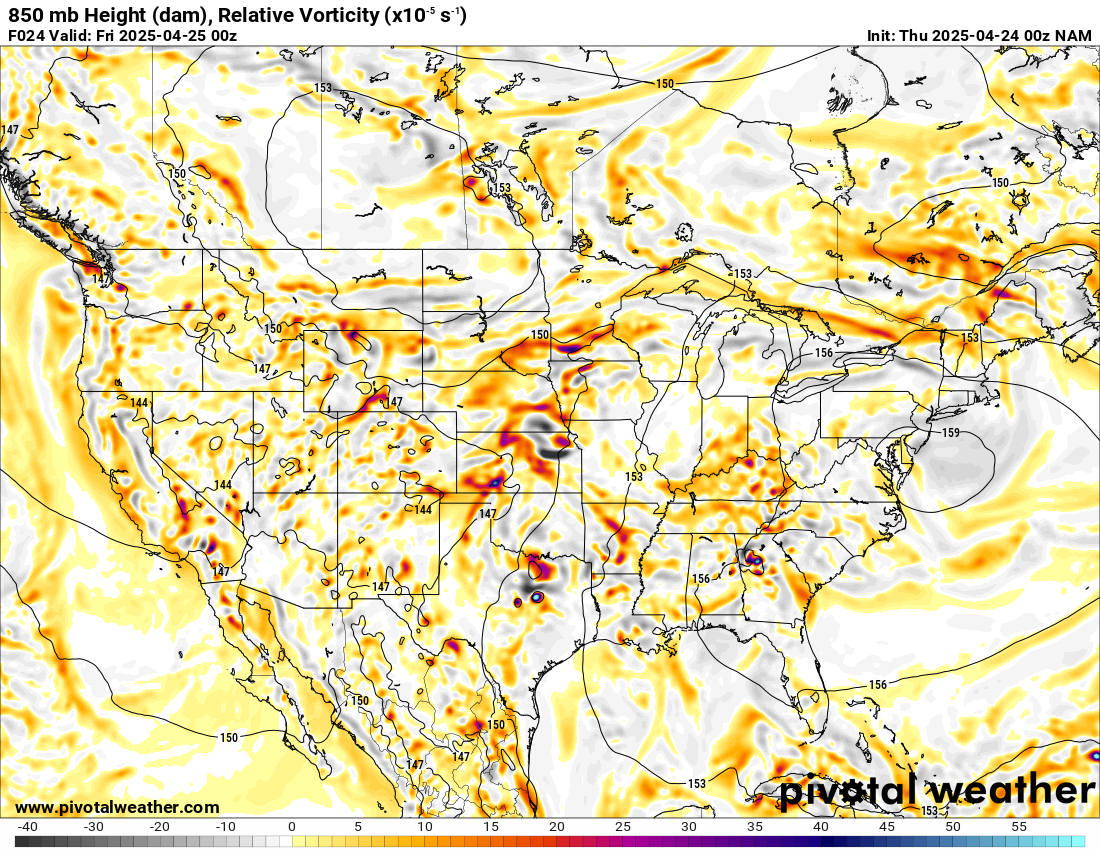
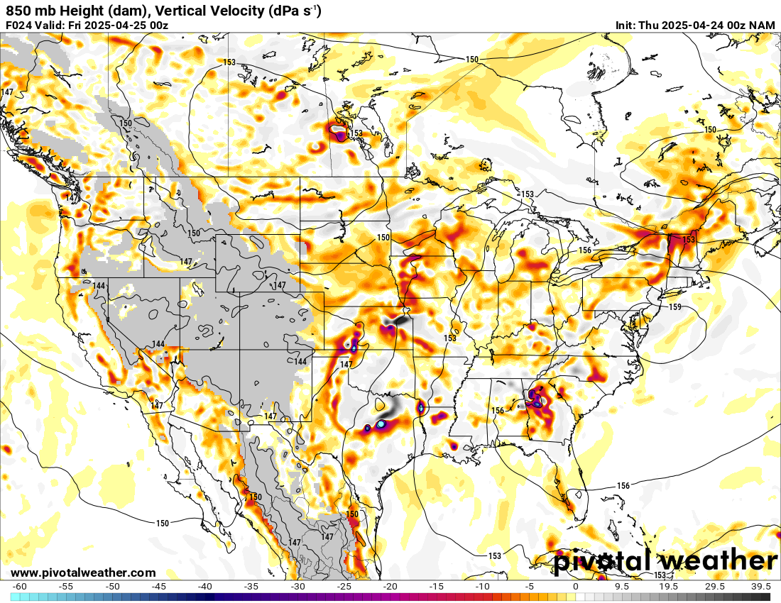
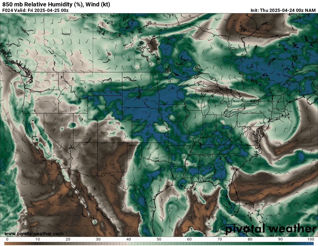
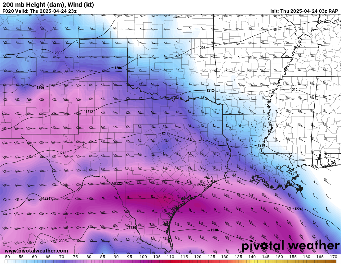
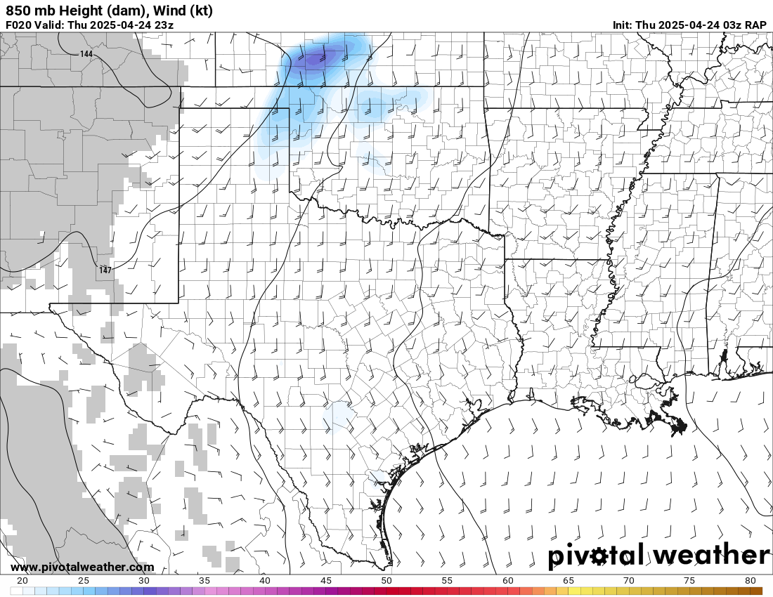
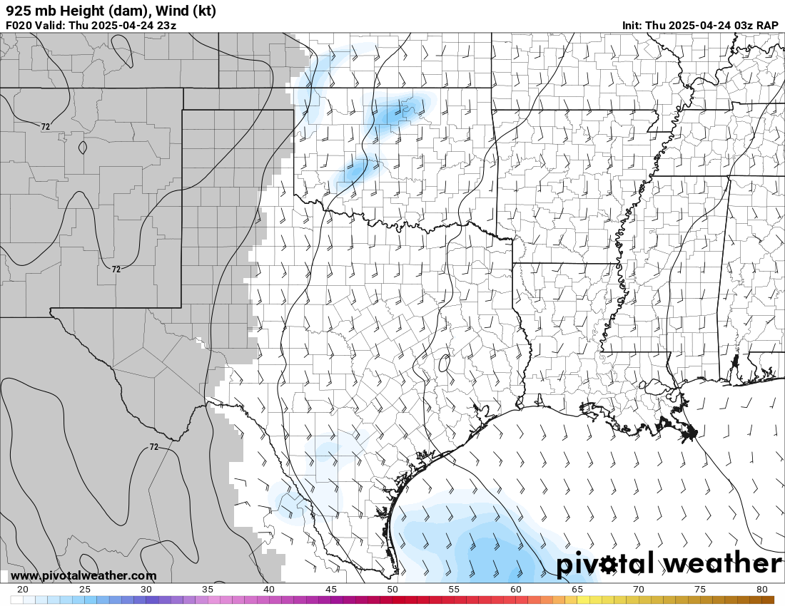
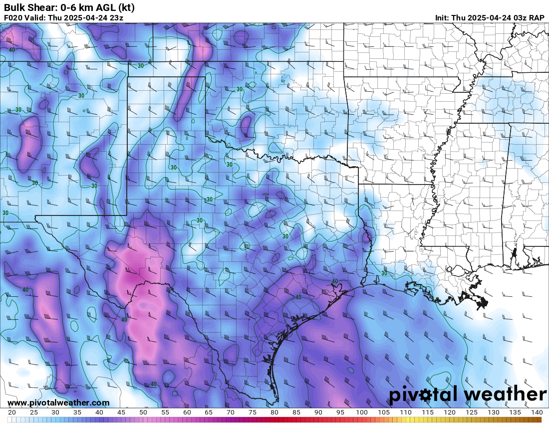
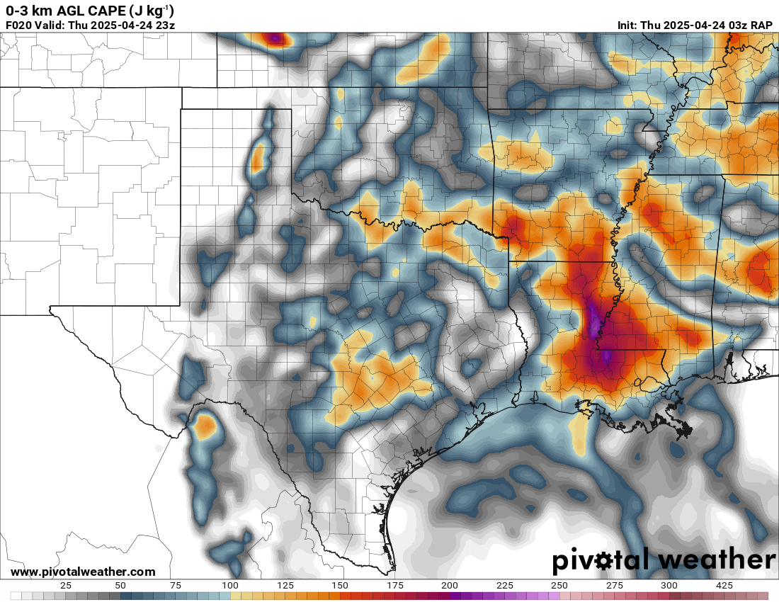
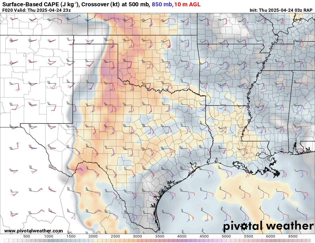
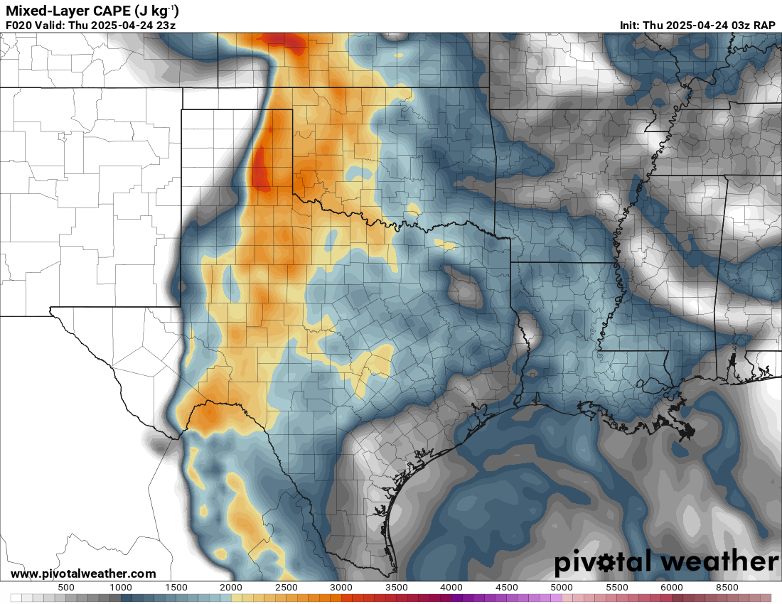
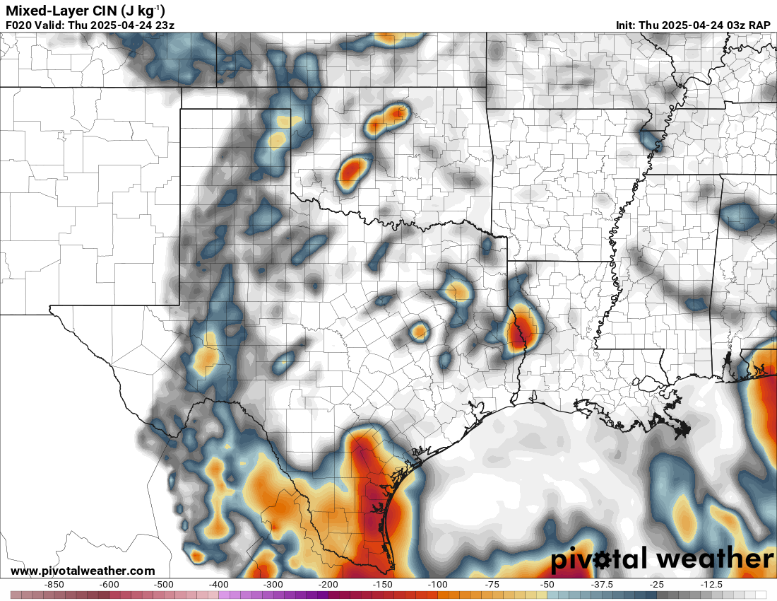
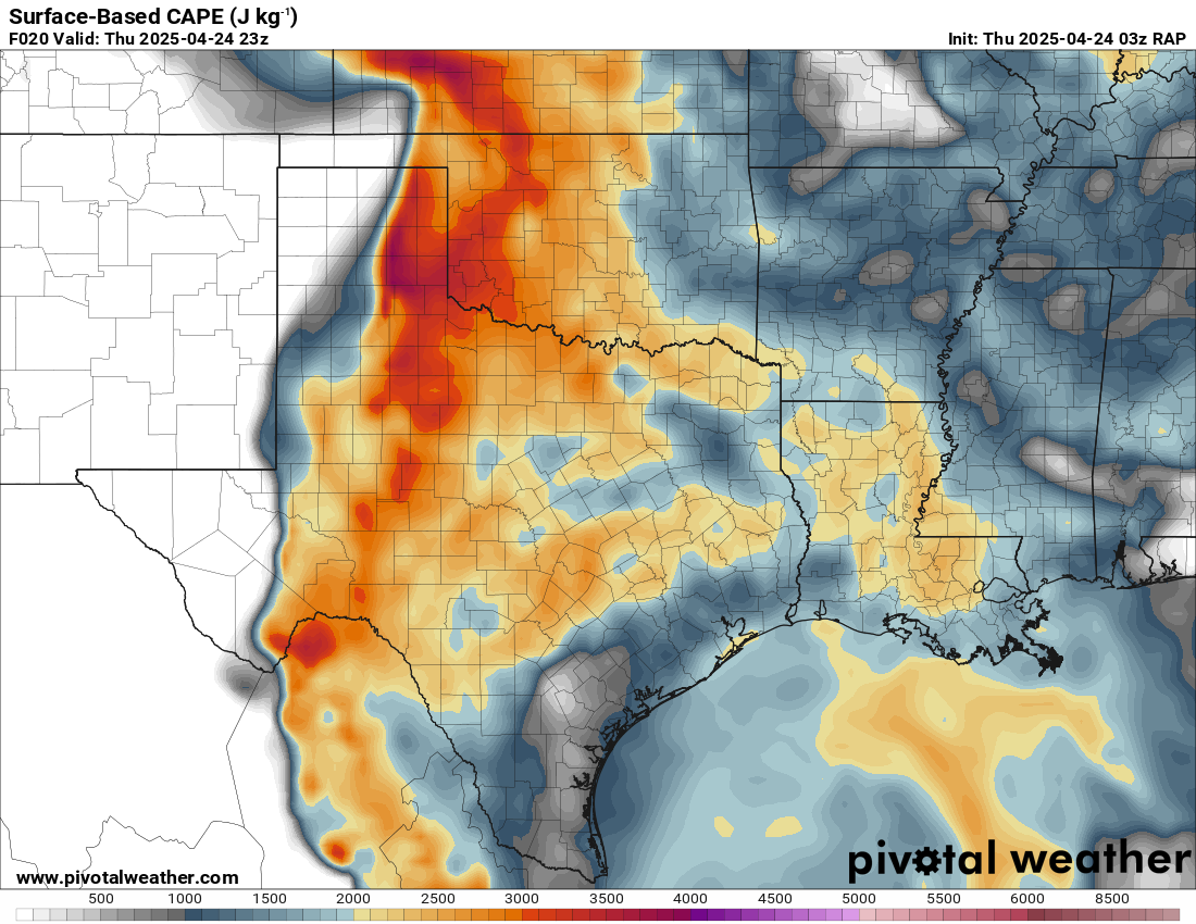
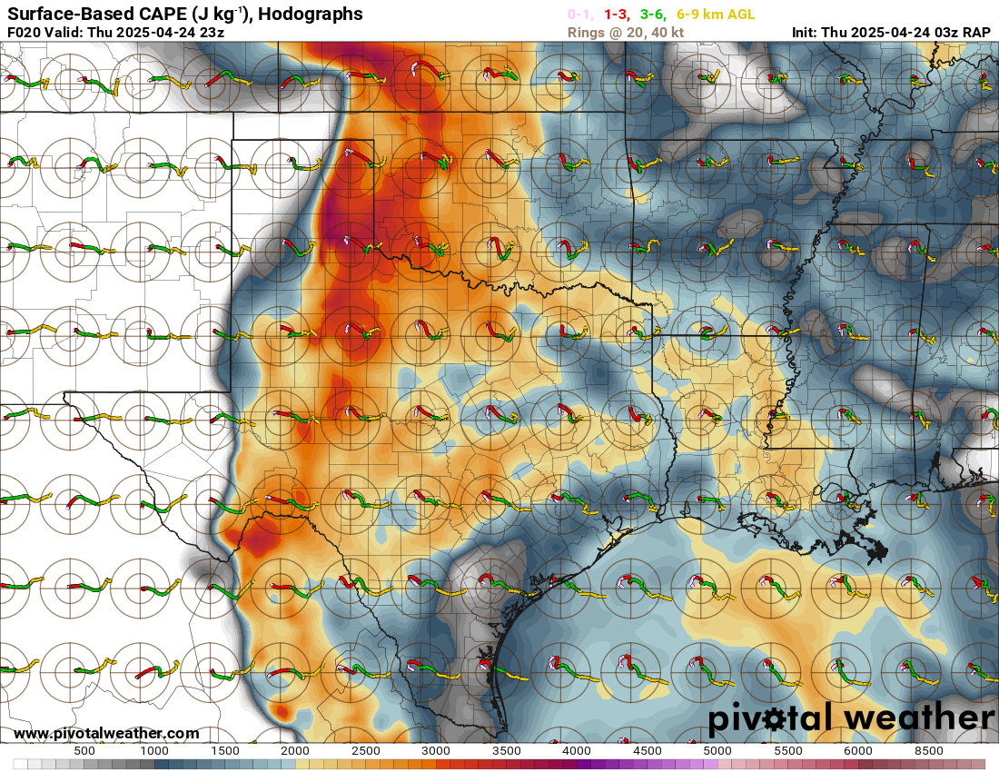
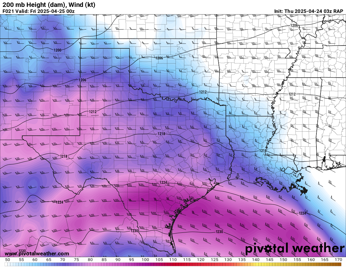
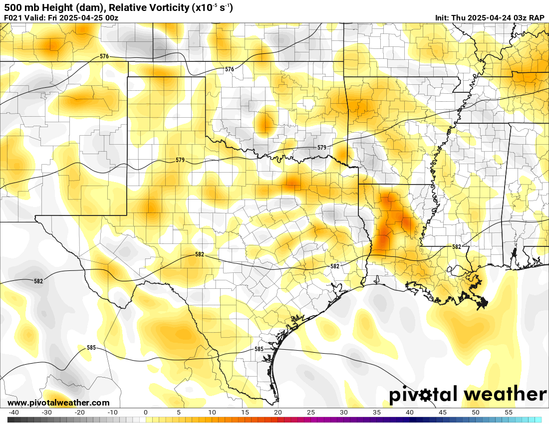
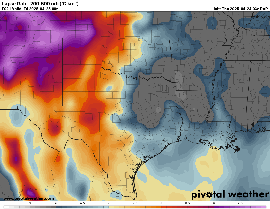
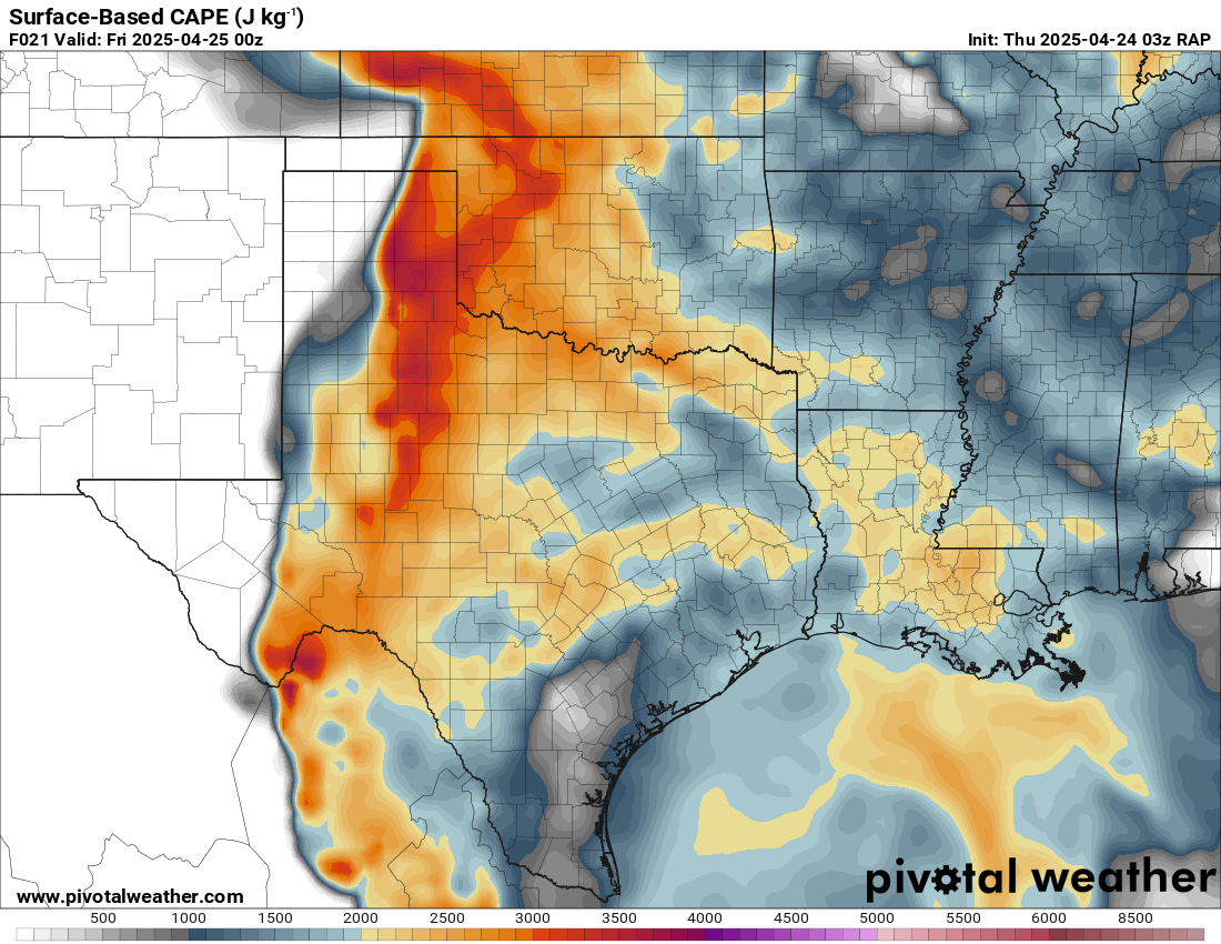
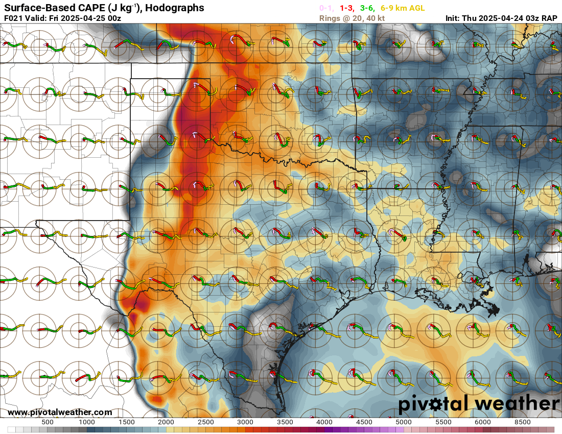
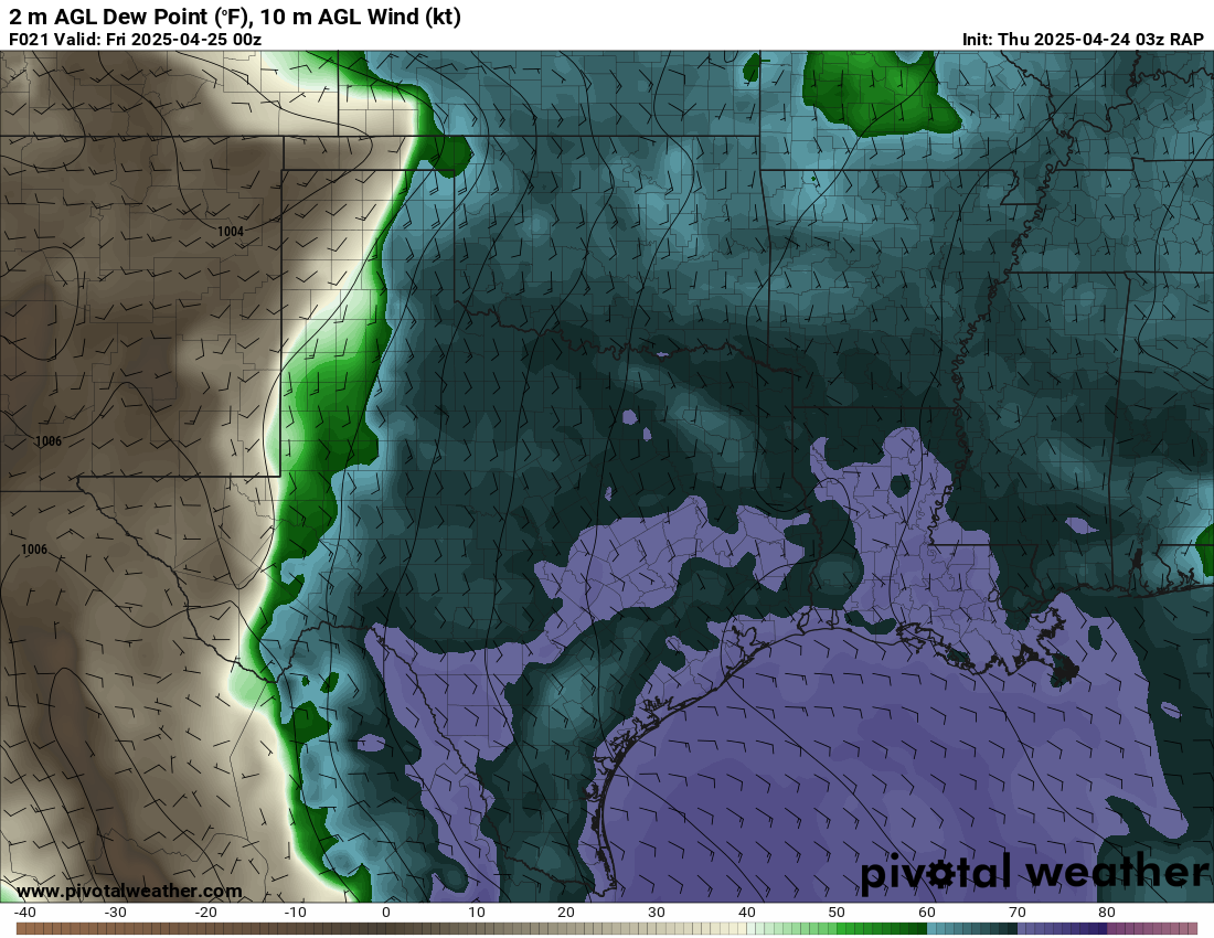
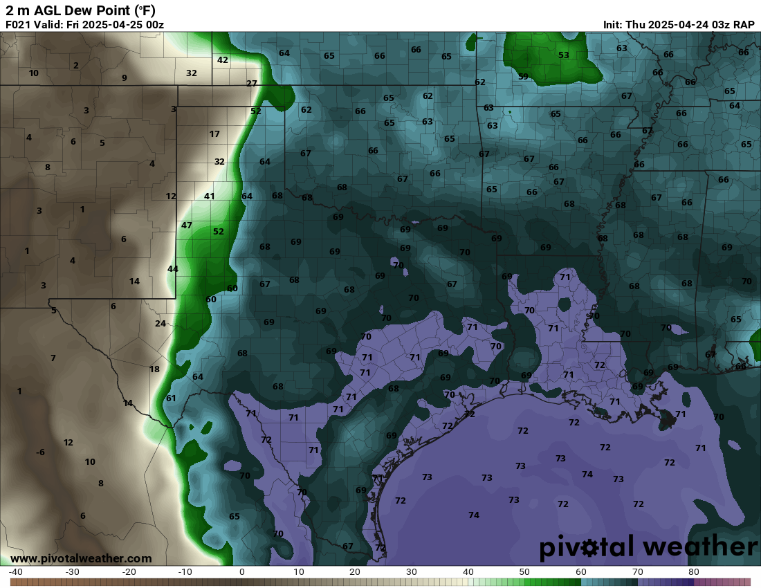
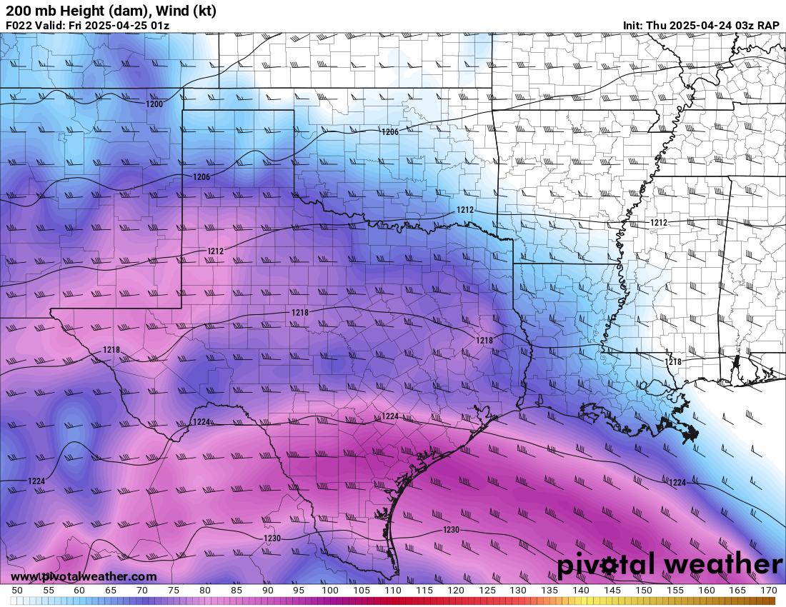
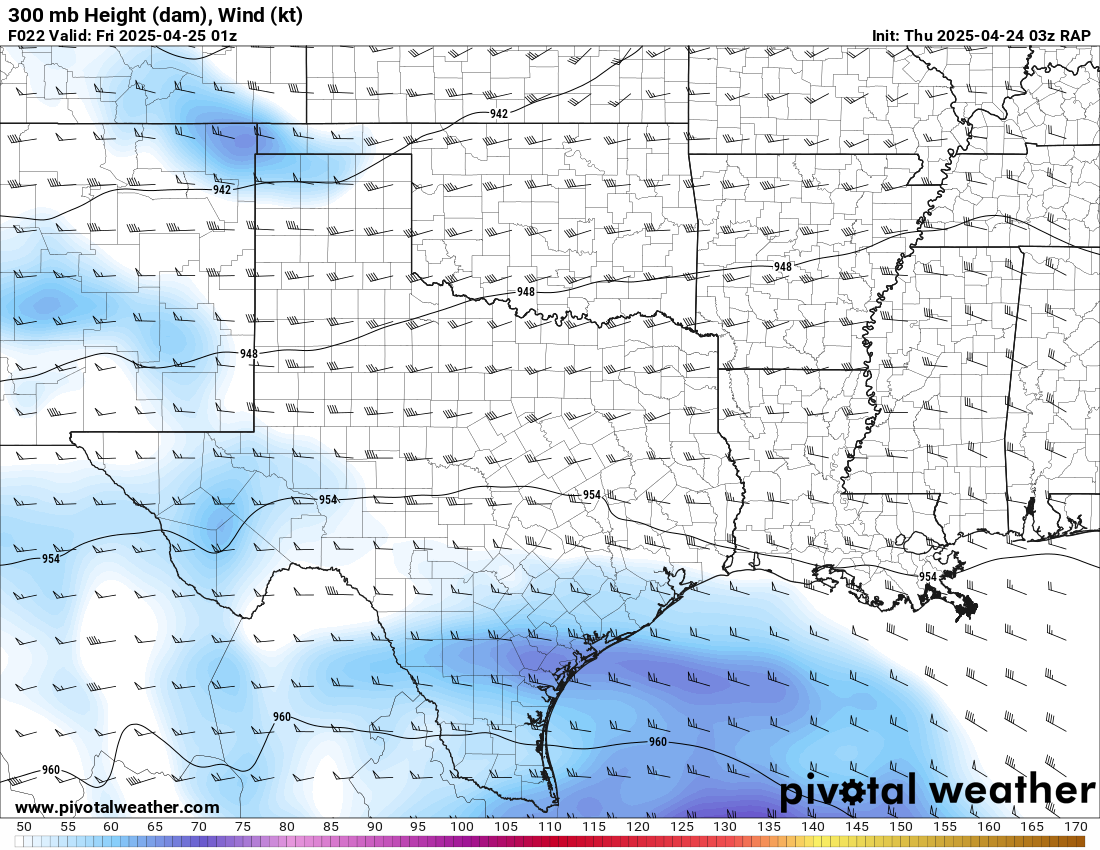
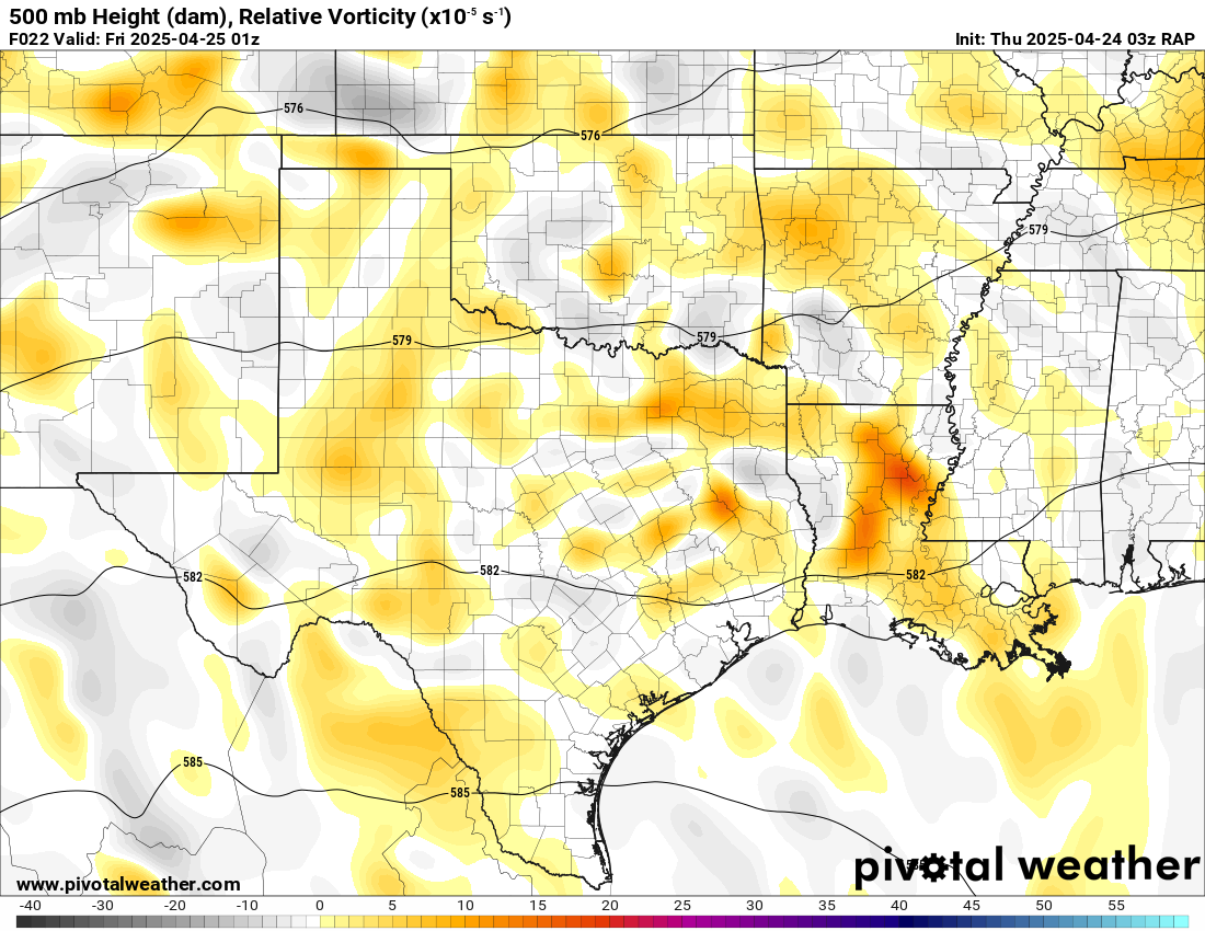
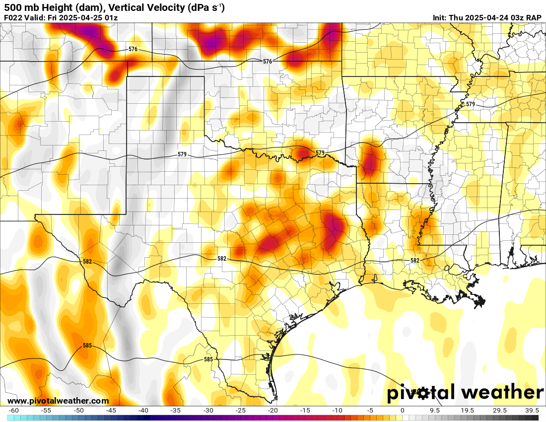
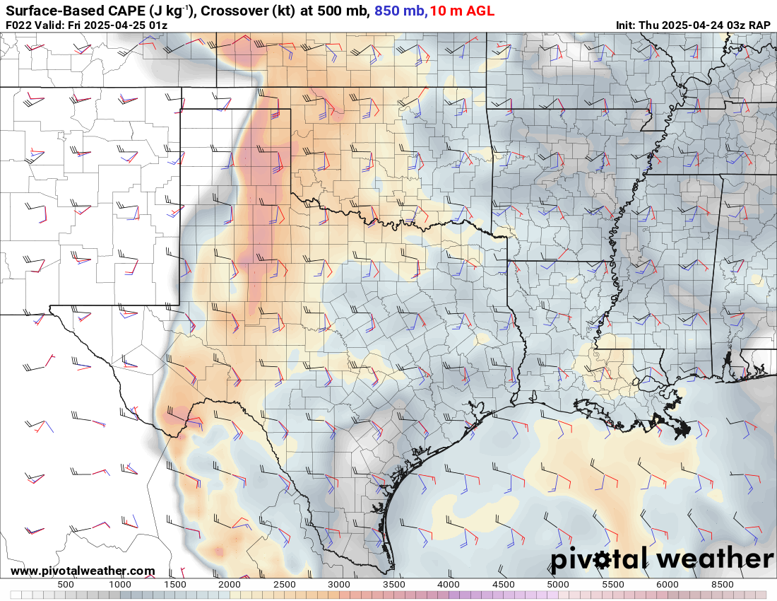
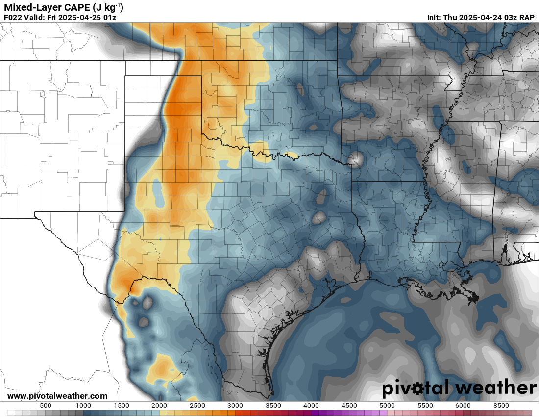
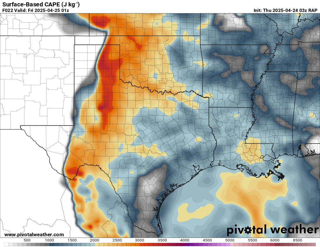
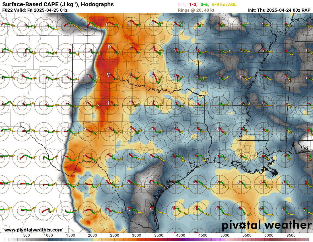
Forecast models showed a strong upper level jet moving across the Texas panhandle into Southwest Kansas region on Thursday. Moisture quality and depth was higher than the previous day. Mid 60’s dews were forecast right up to the caprock, with a nice tongue of theta-e coming up the dryline. The RAP and NAM were in decently good agreement the night before.
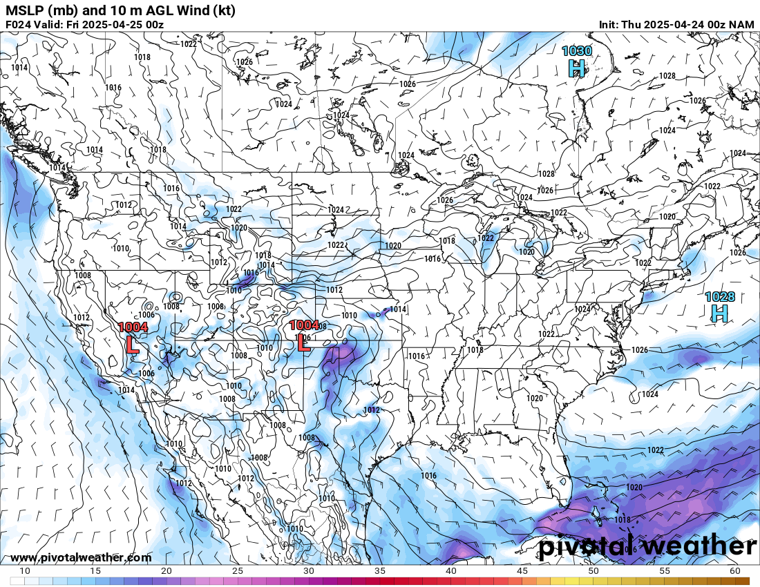
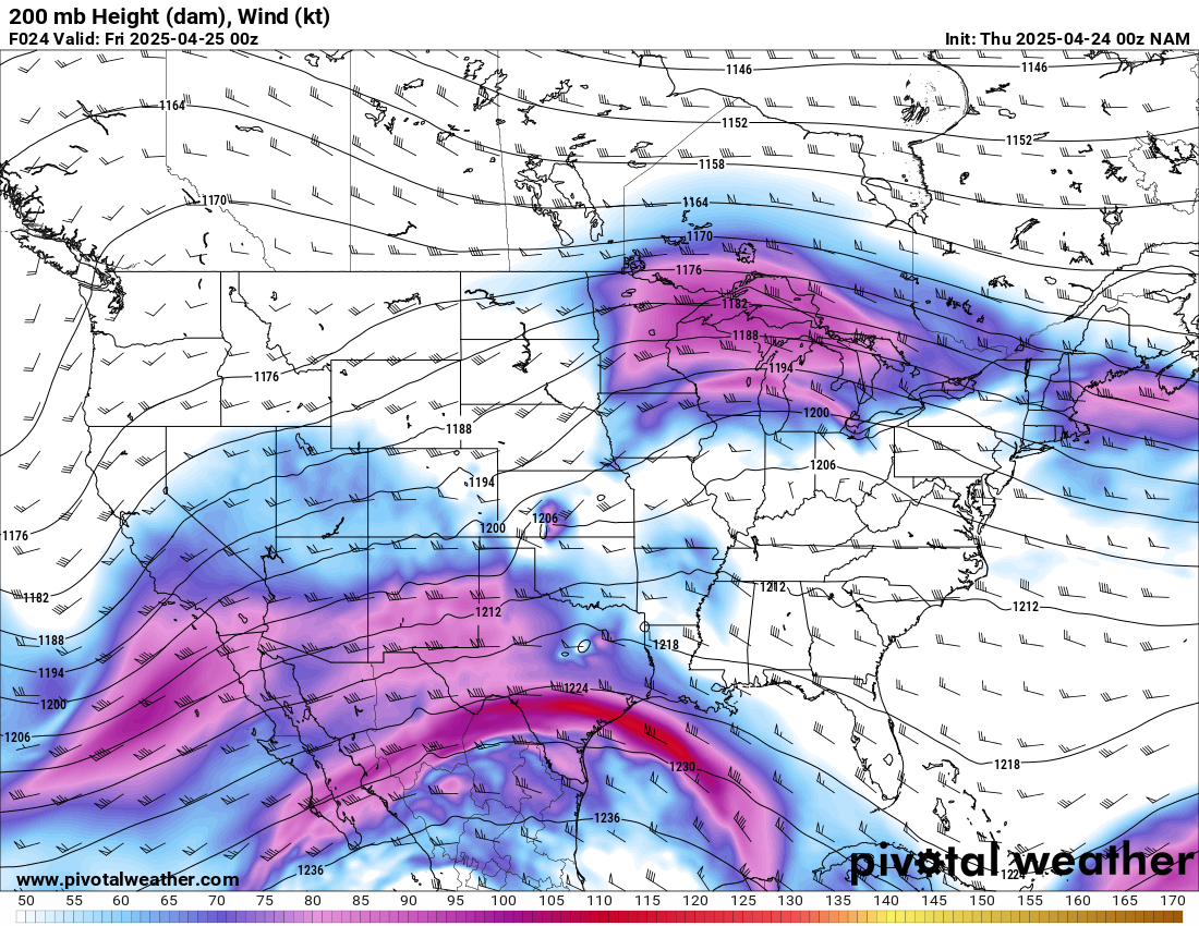
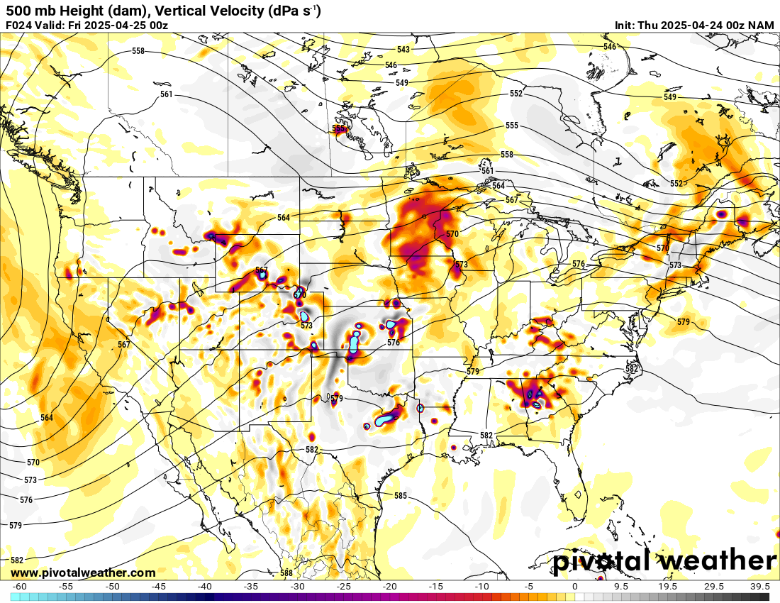
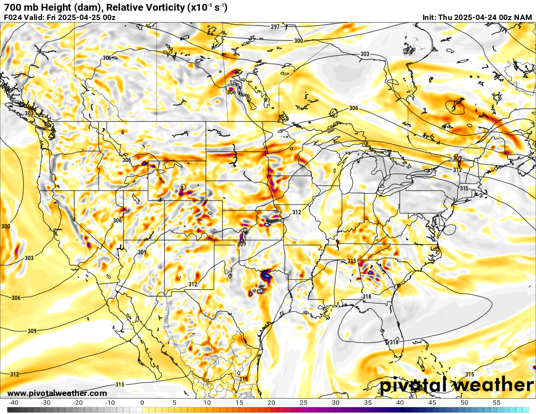
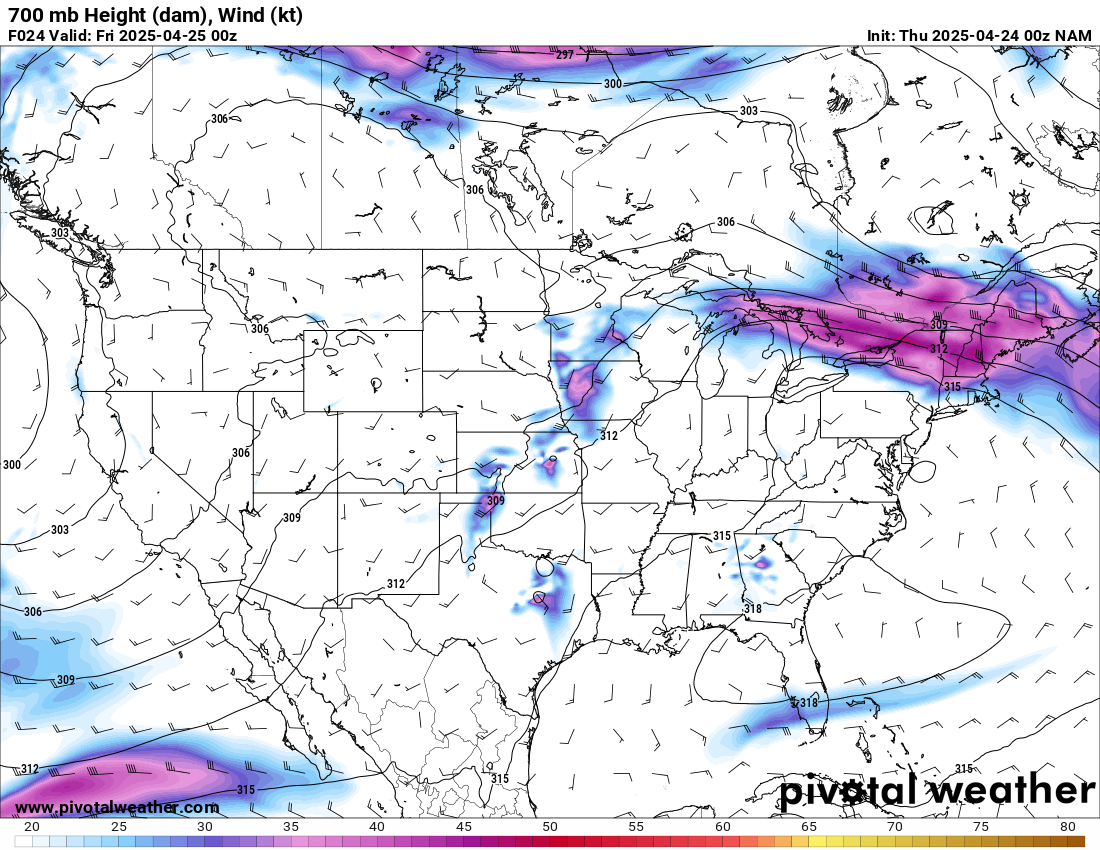
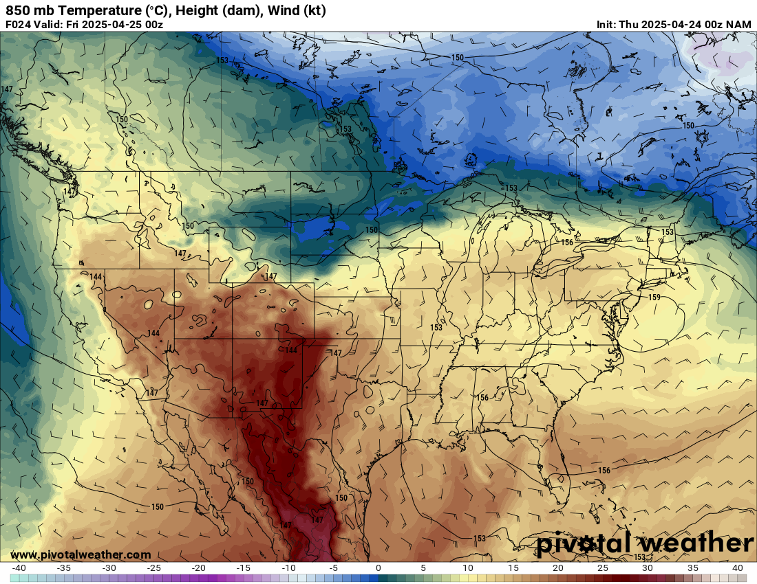
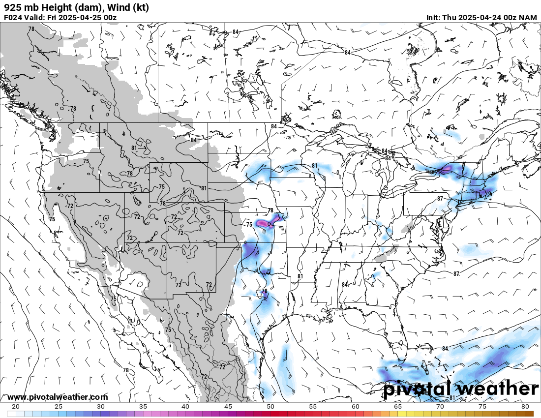
00Z NAM – 24 hour forecast for 7pm CDT April 24, 2025
The 00Z NAM on the 24th reveals a low centered near Kenton OK and a strong impulse at 200mb across the texas panhandle. A dryline runs from the low in the panhandle south into Mexico.
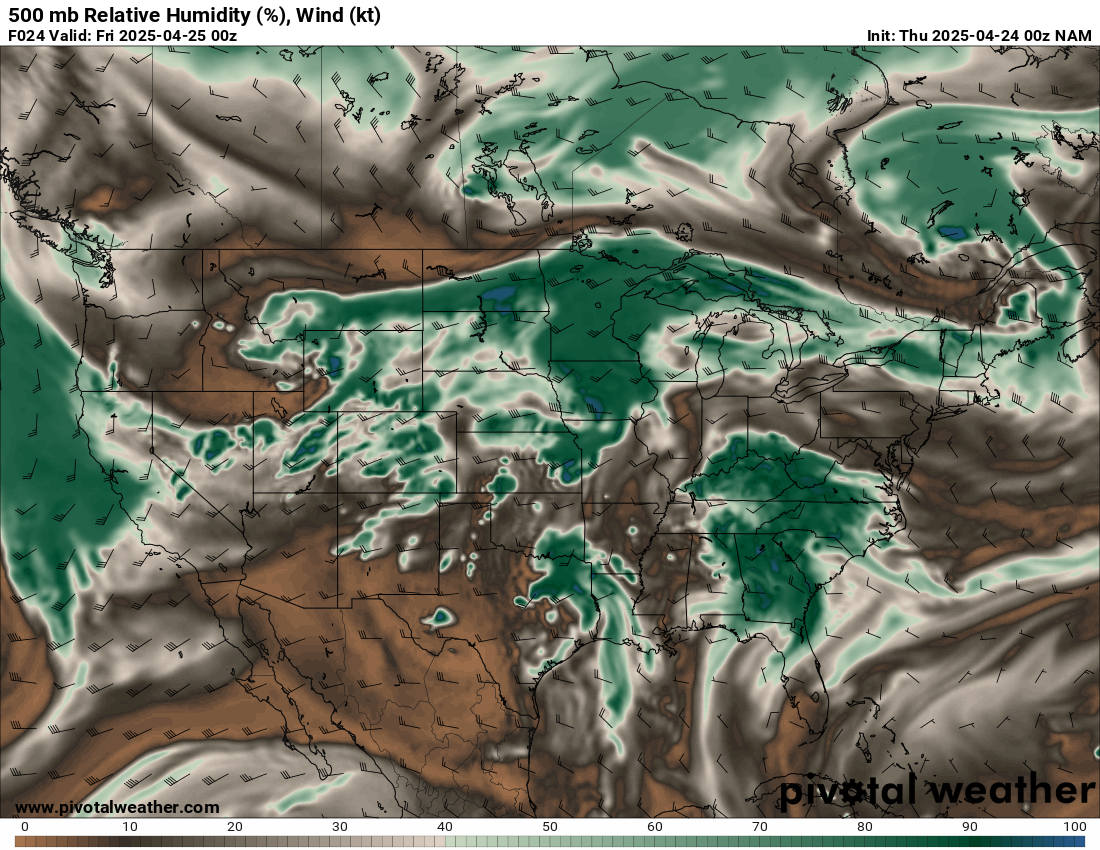
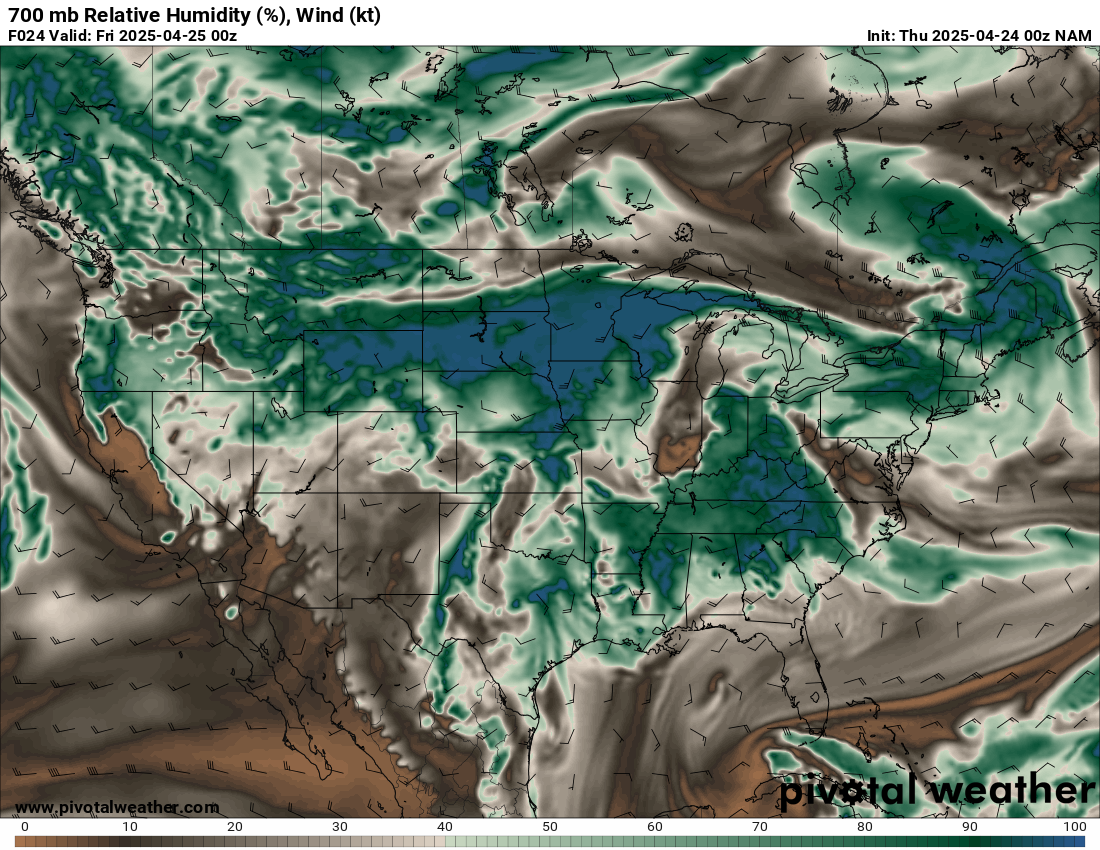
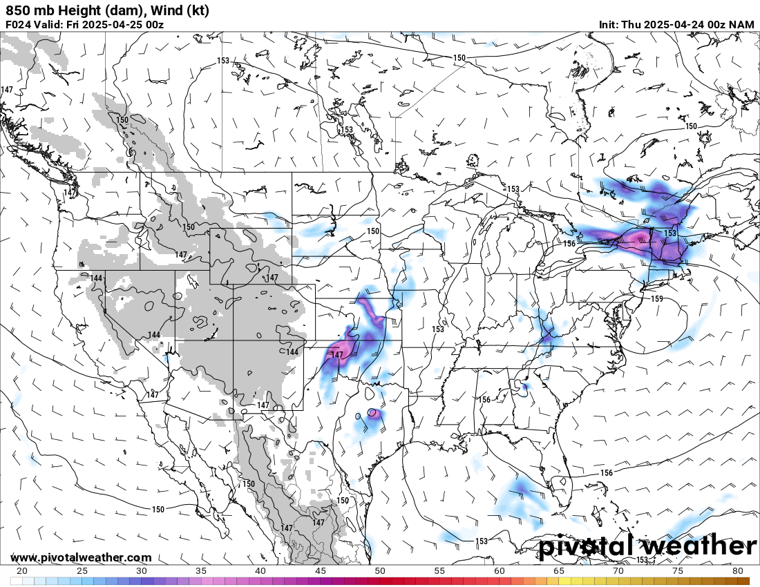

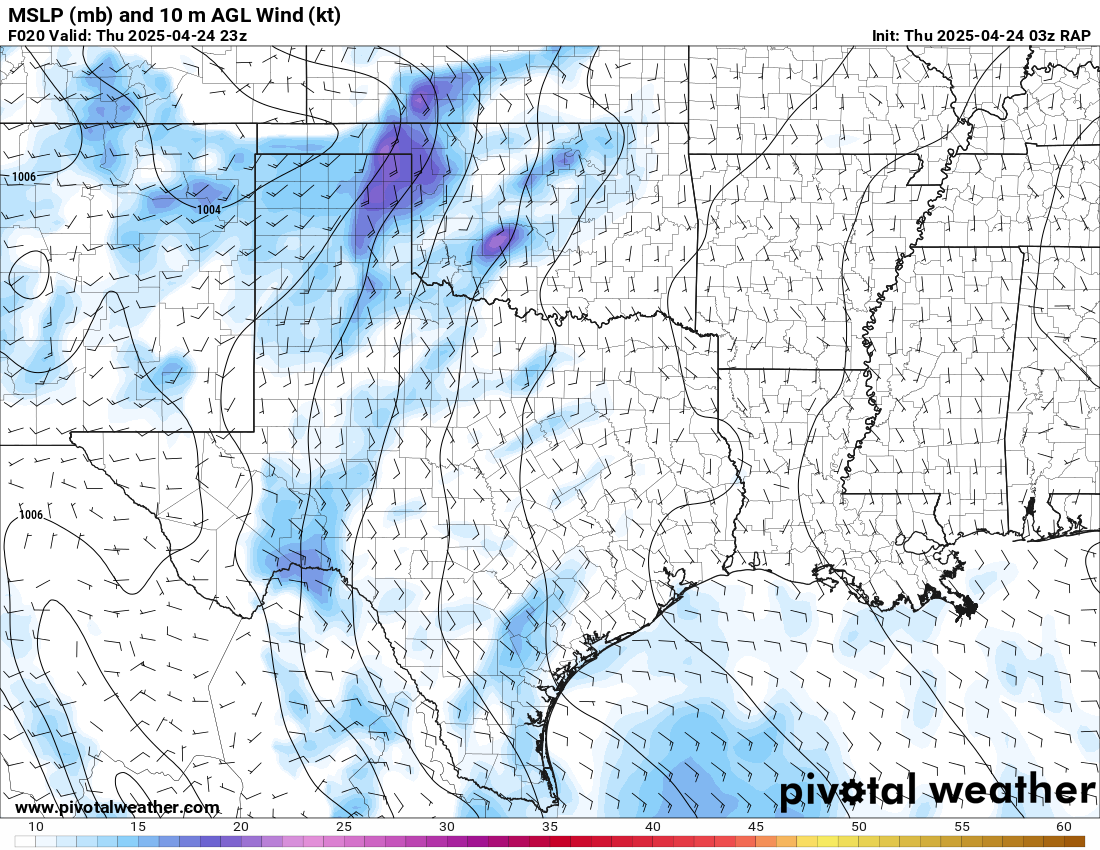
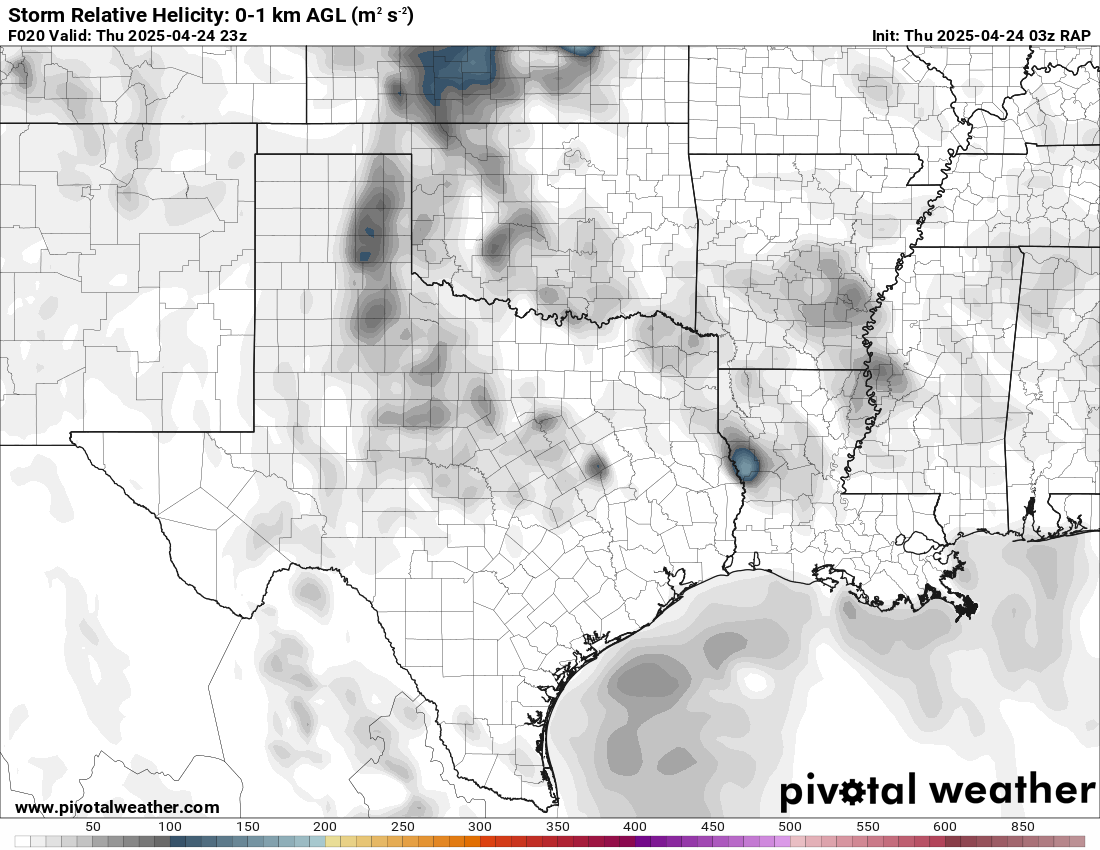
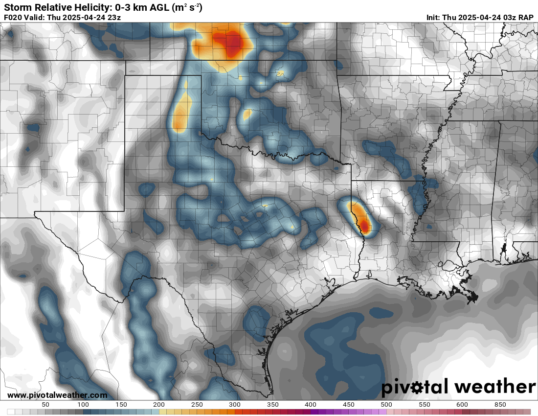
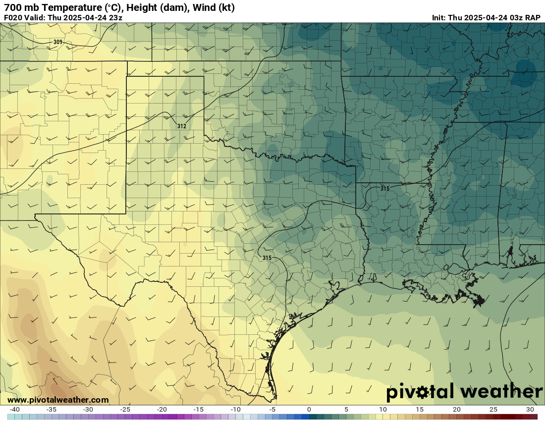
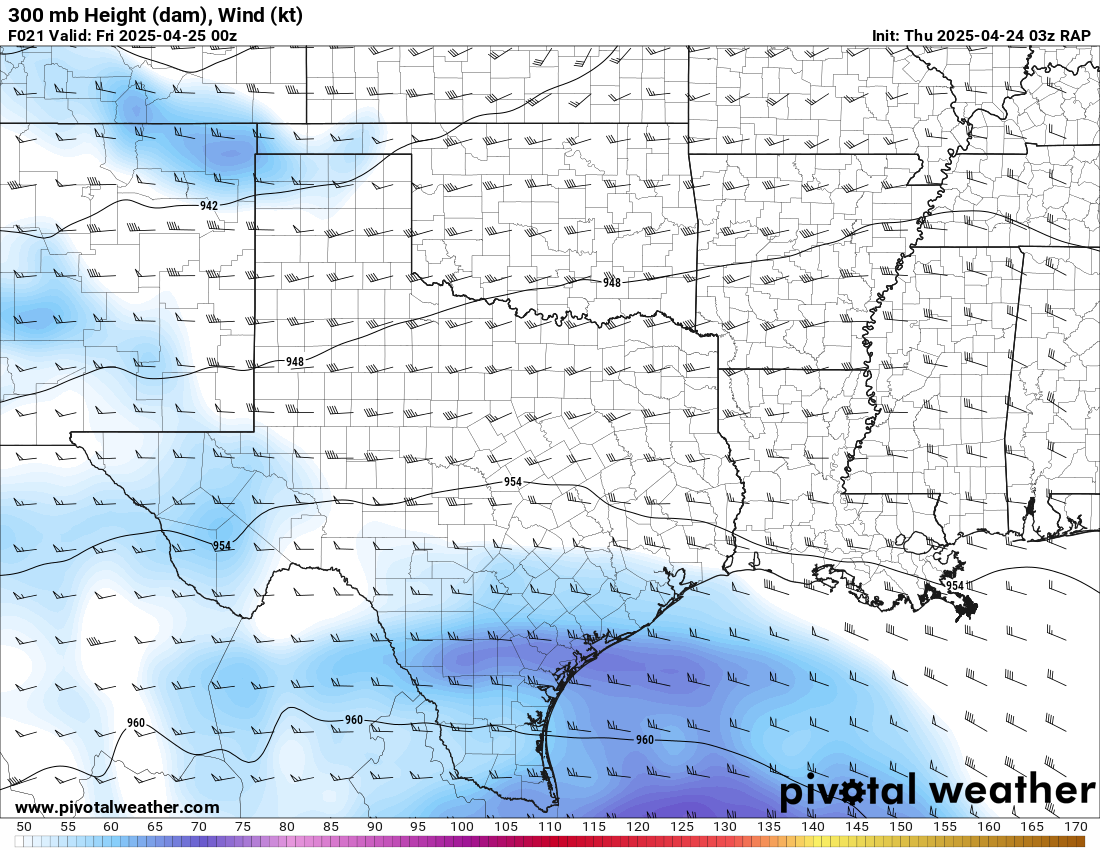
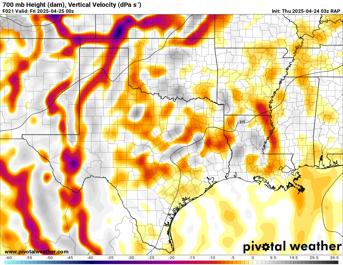
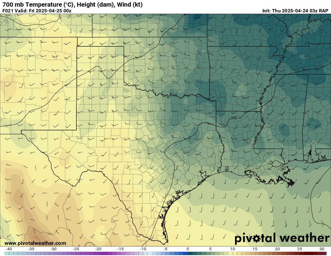
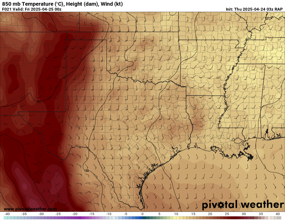
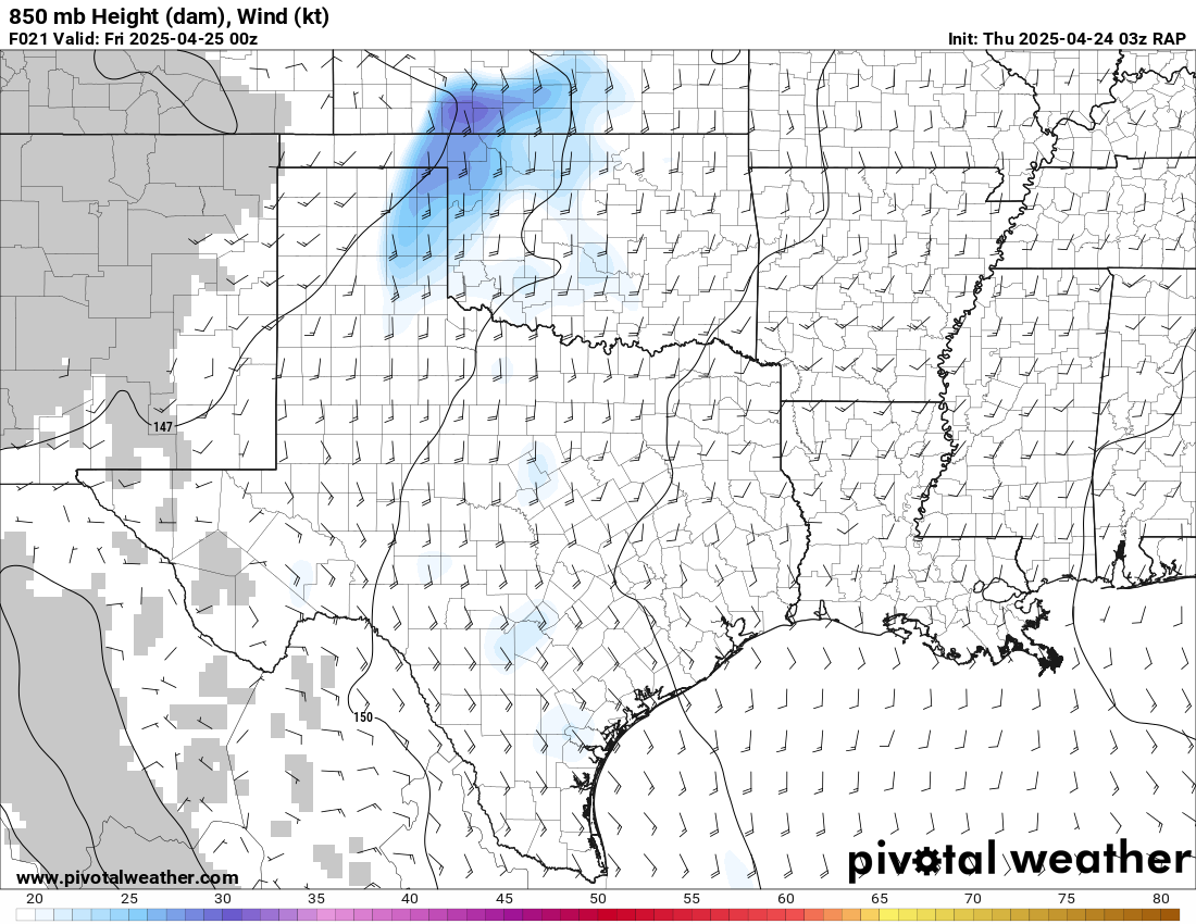
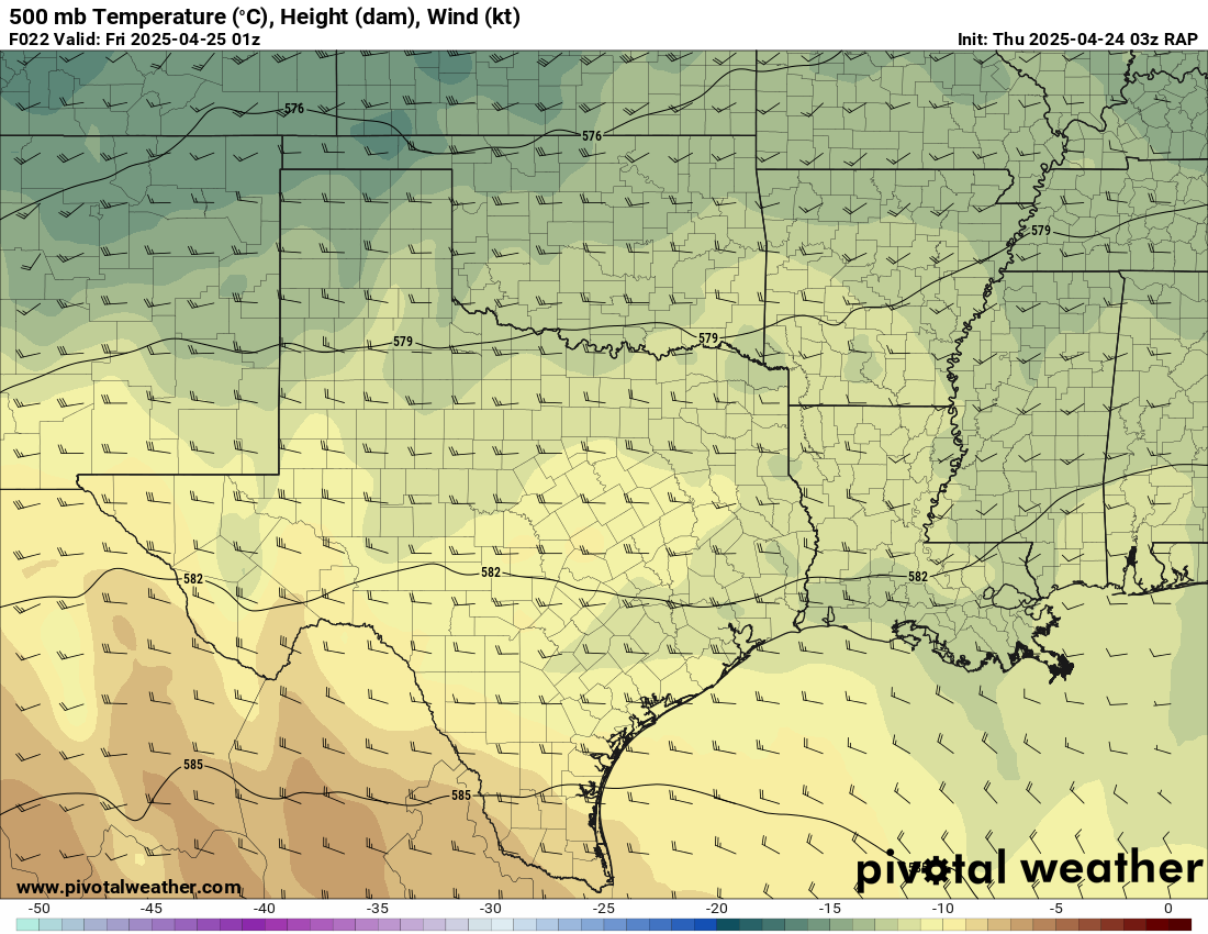
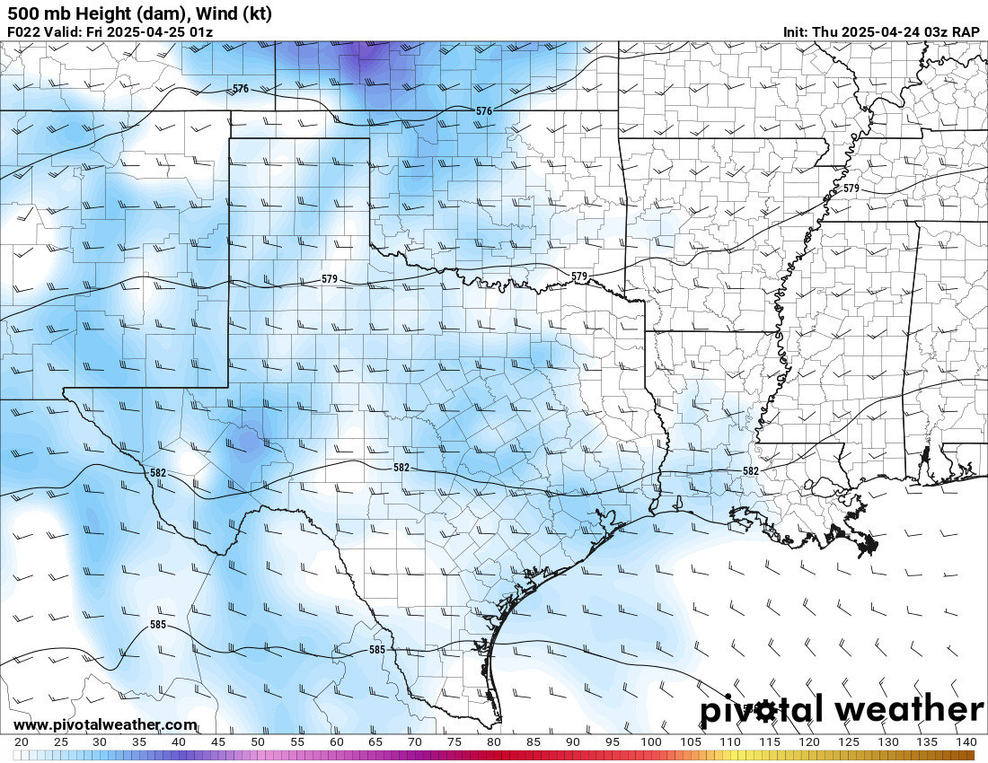
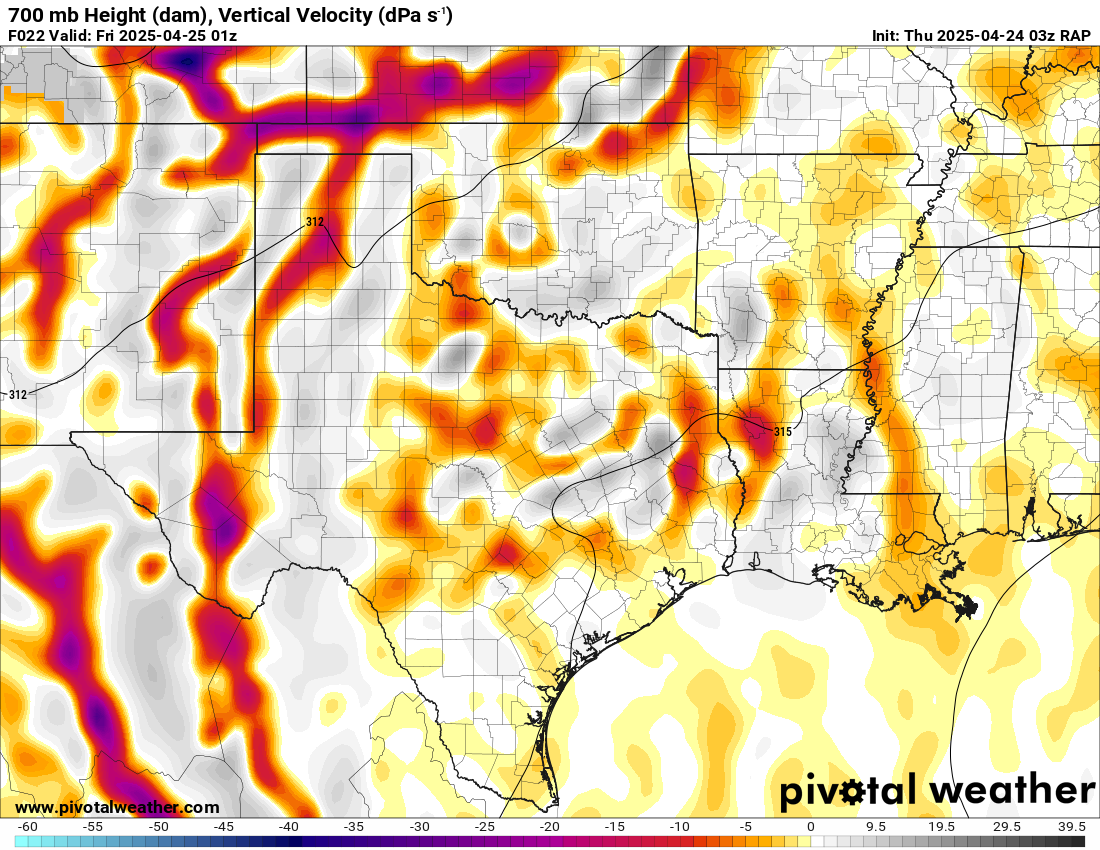
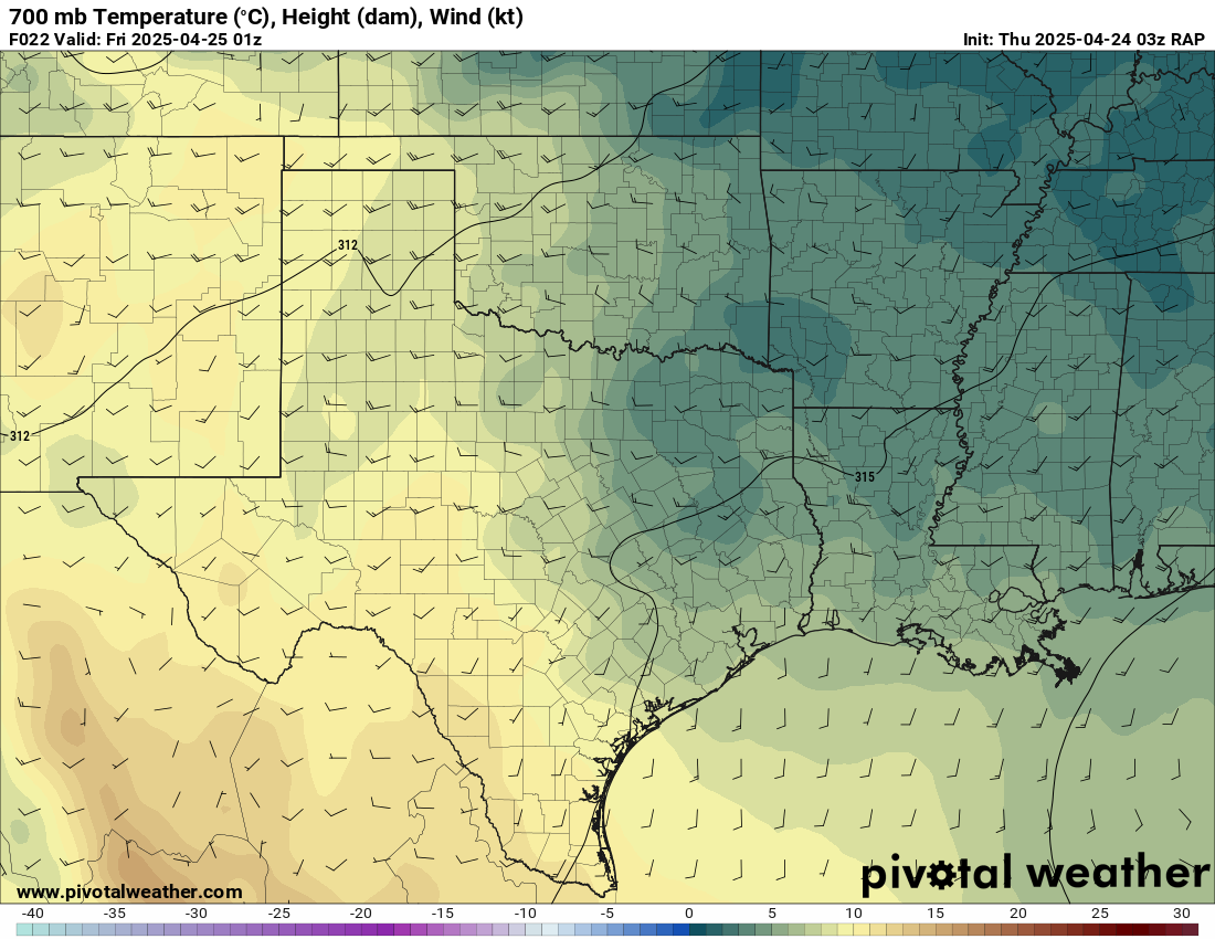
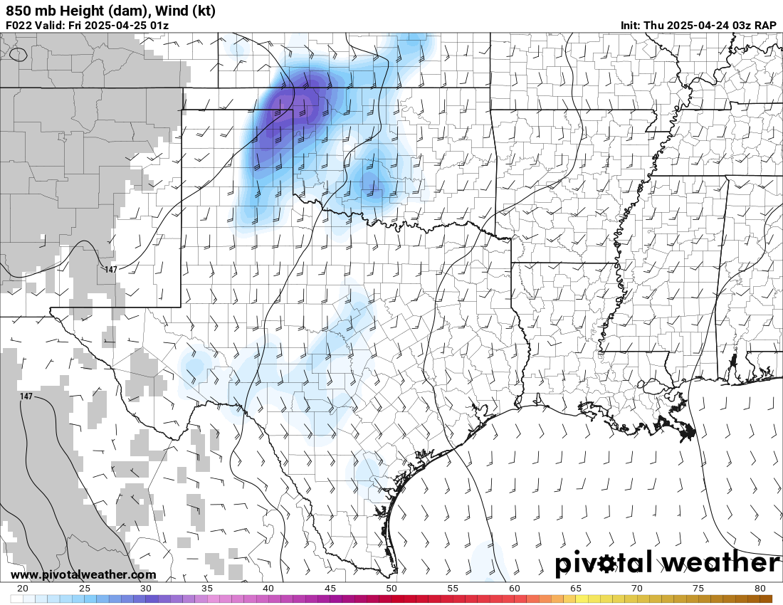
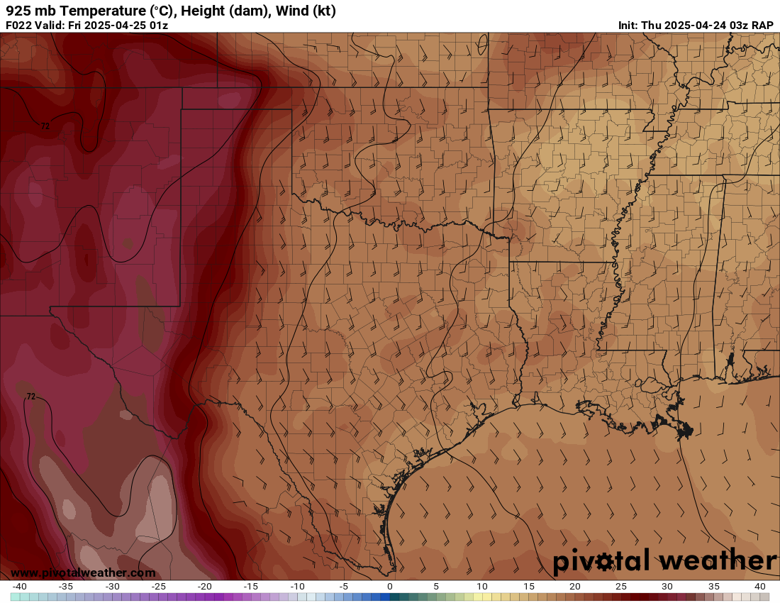
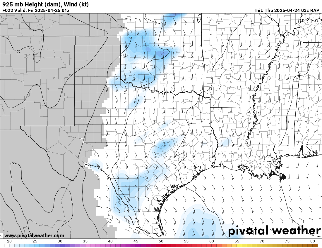
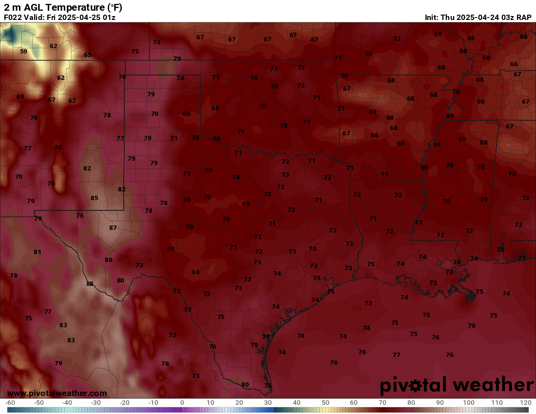
03Z RAP
The 03Z RAP showing a similar situation with deep moisture making it to the caprock, with a real stout dryline in the northern Texas panhandle.


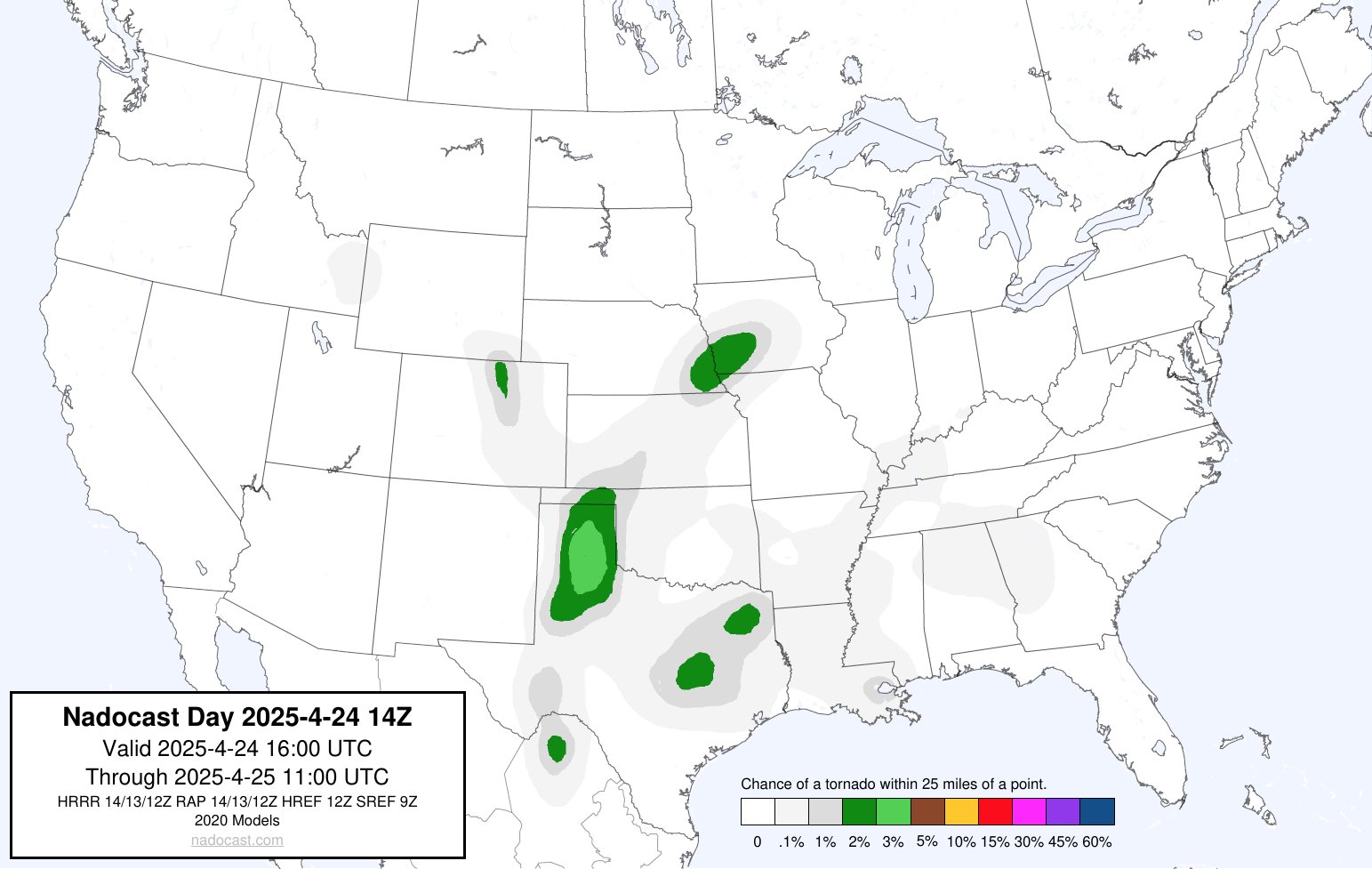
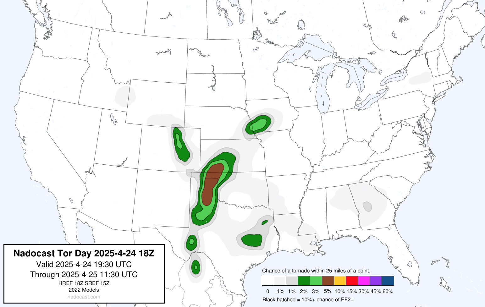
Nadocast
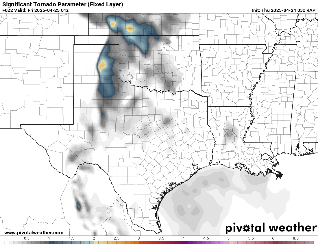
The nadocast was generally on the 24th, showing tornado potential throughout the Texas panhandle and even into Northwest Oklahoma. The later run also depicted potential all the way into Southwest Kansas.
Morning Observations
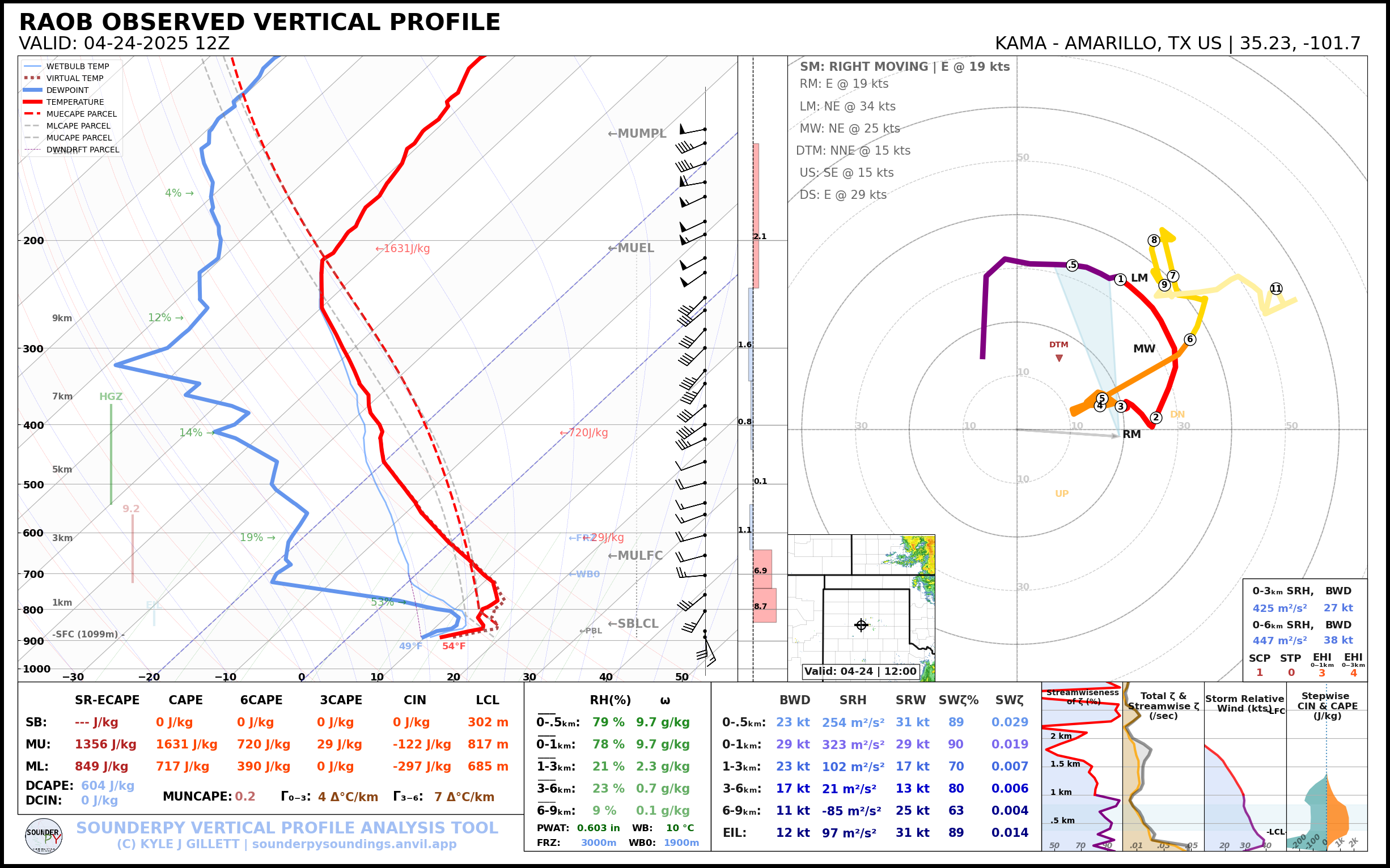
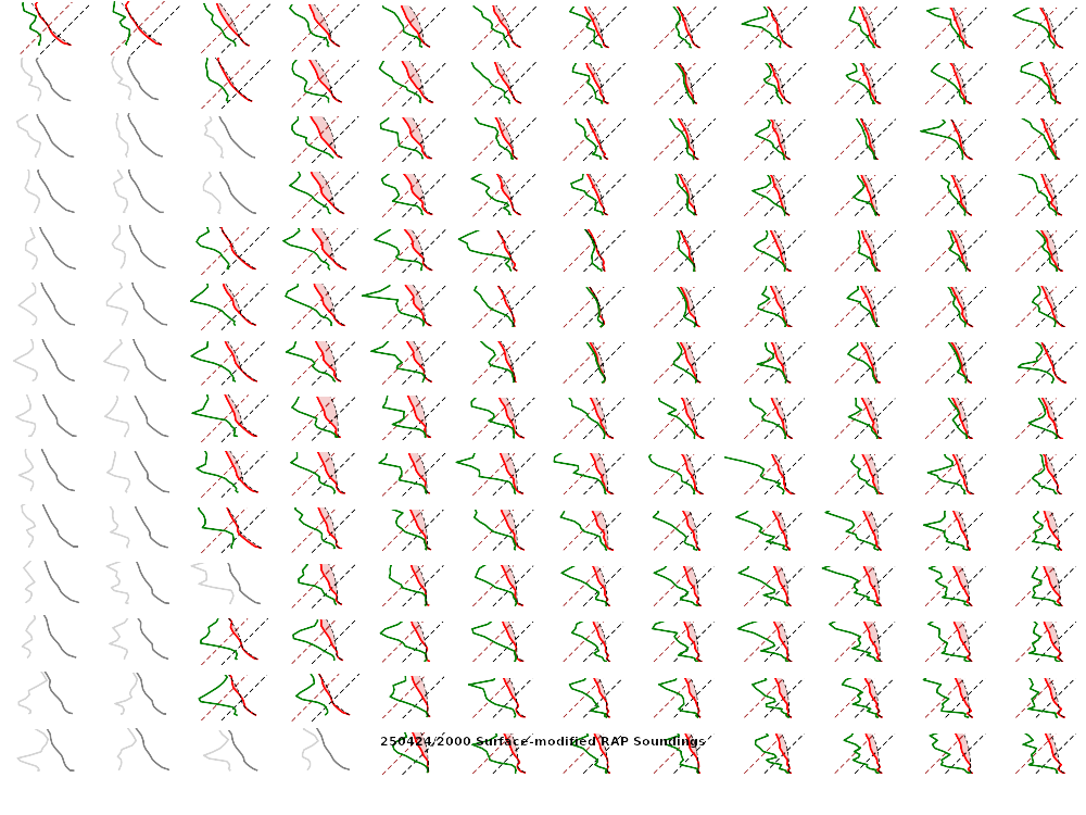
Observed Soundings (12z/7am CDT)
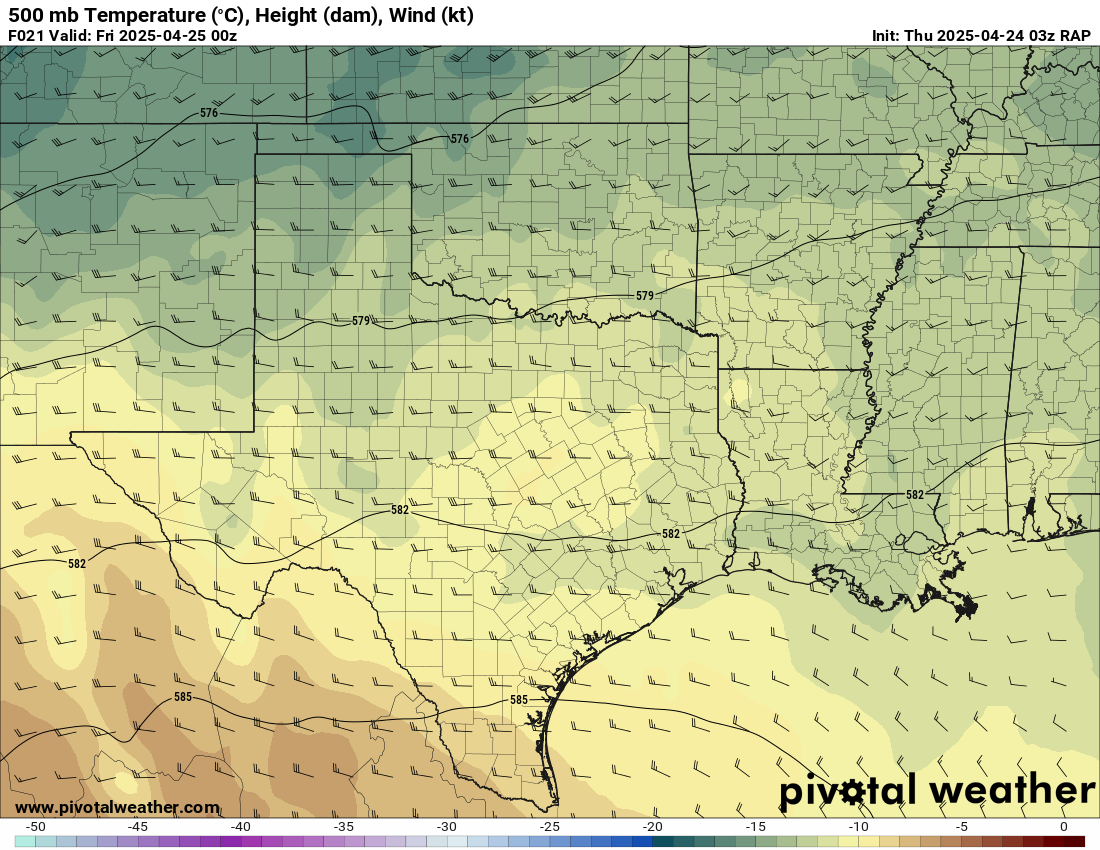
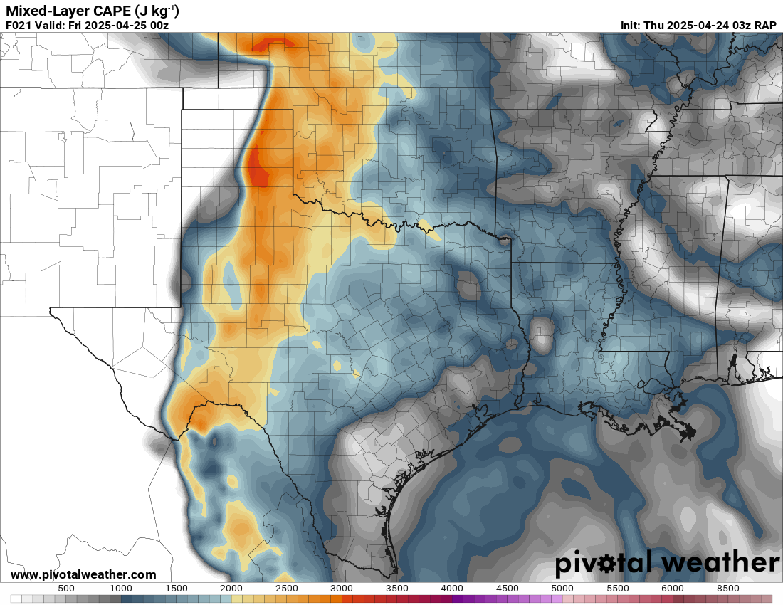
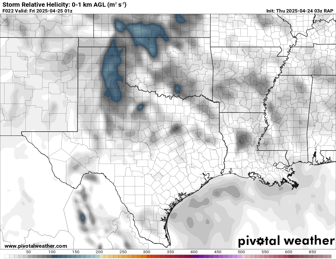
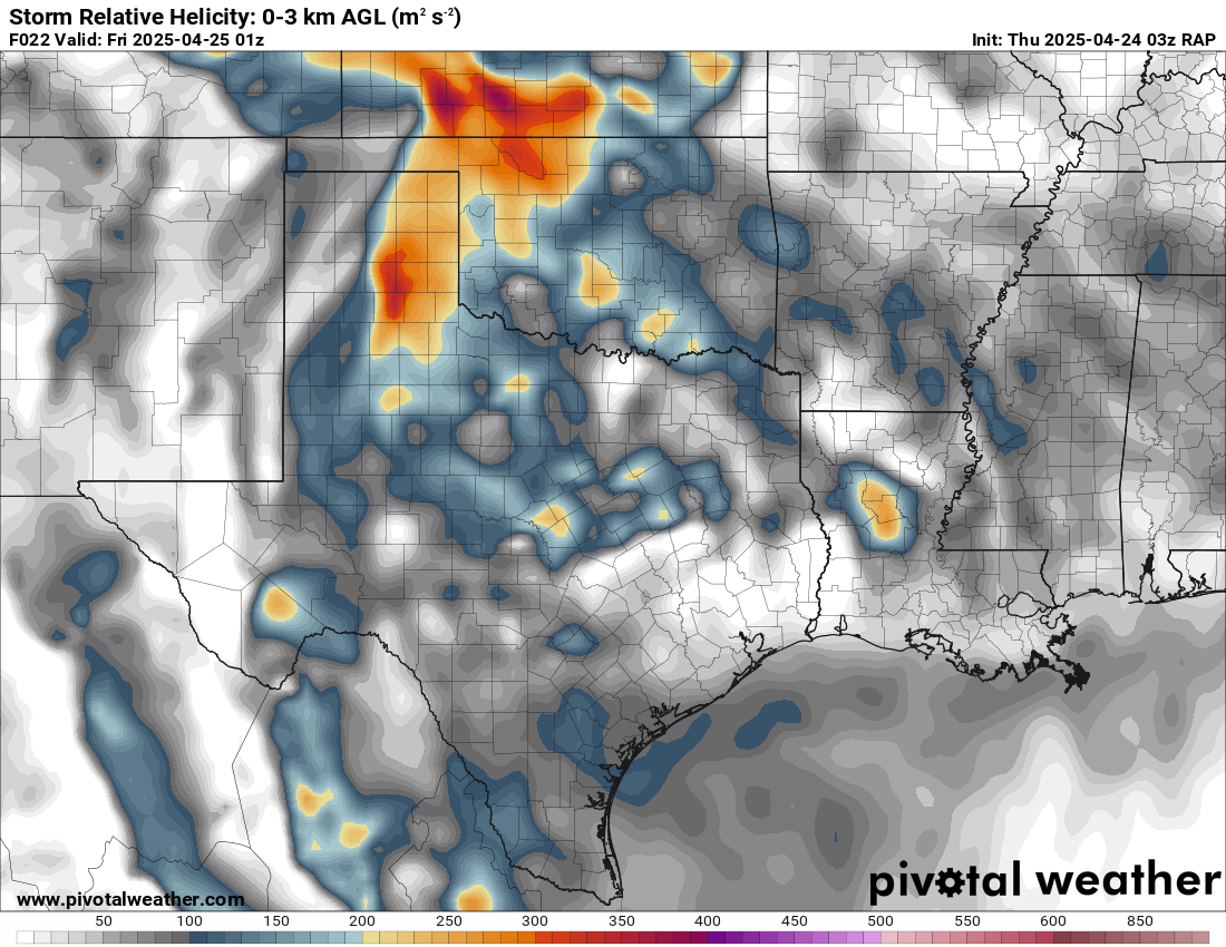
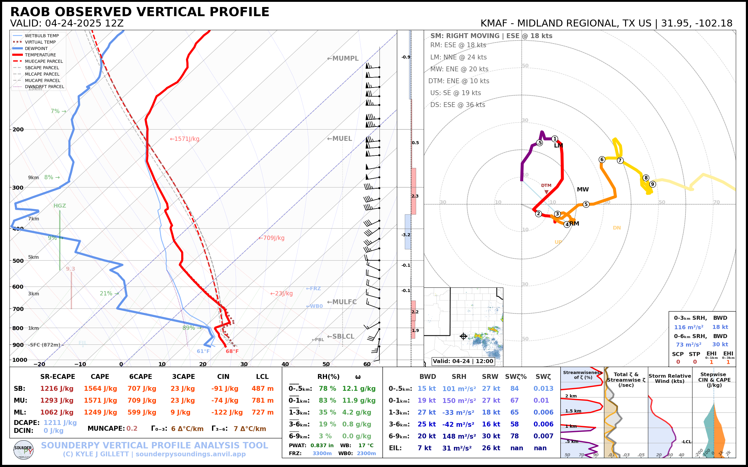
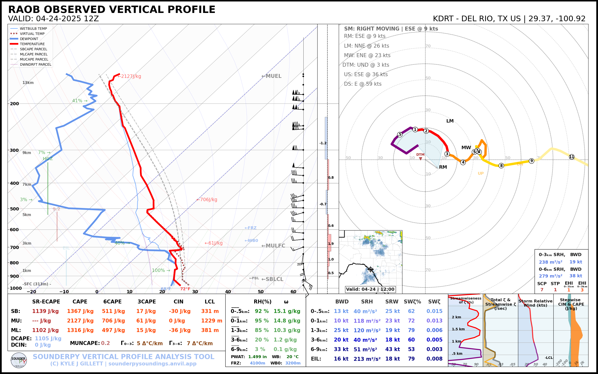
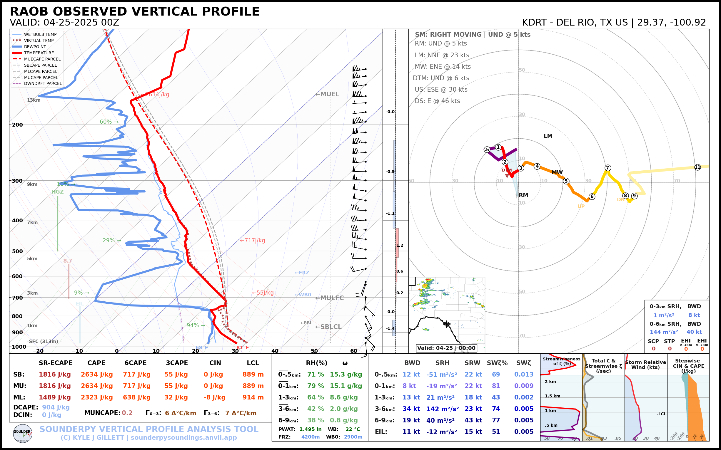
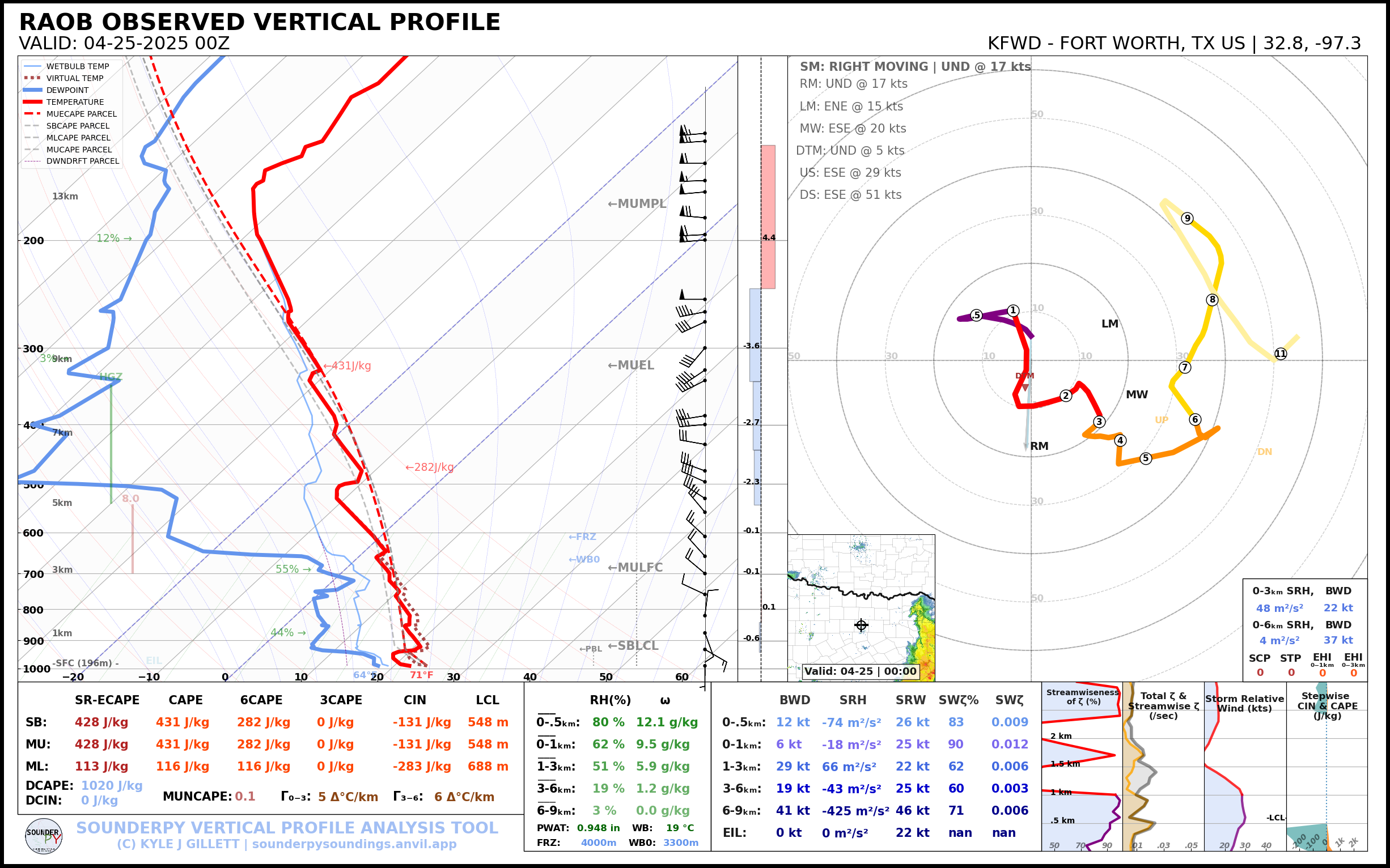
You can see the stable layer on the 12z Amarillo sounding. Above 750mb or so, lapse rates steepen up and flow turns generally westerly. Significant turning in the lower levels as the low deepens to the north. Fort Worth, Midland and Del Rio soundings all showing very good low level mixing ratios and deep moisture to work with.

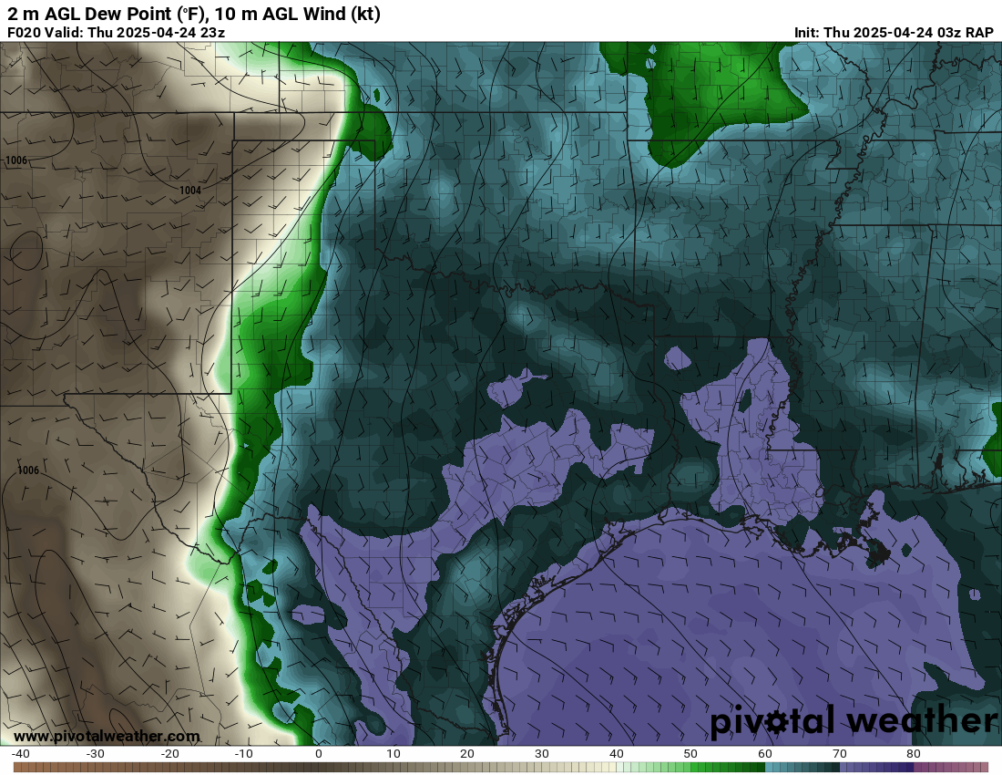
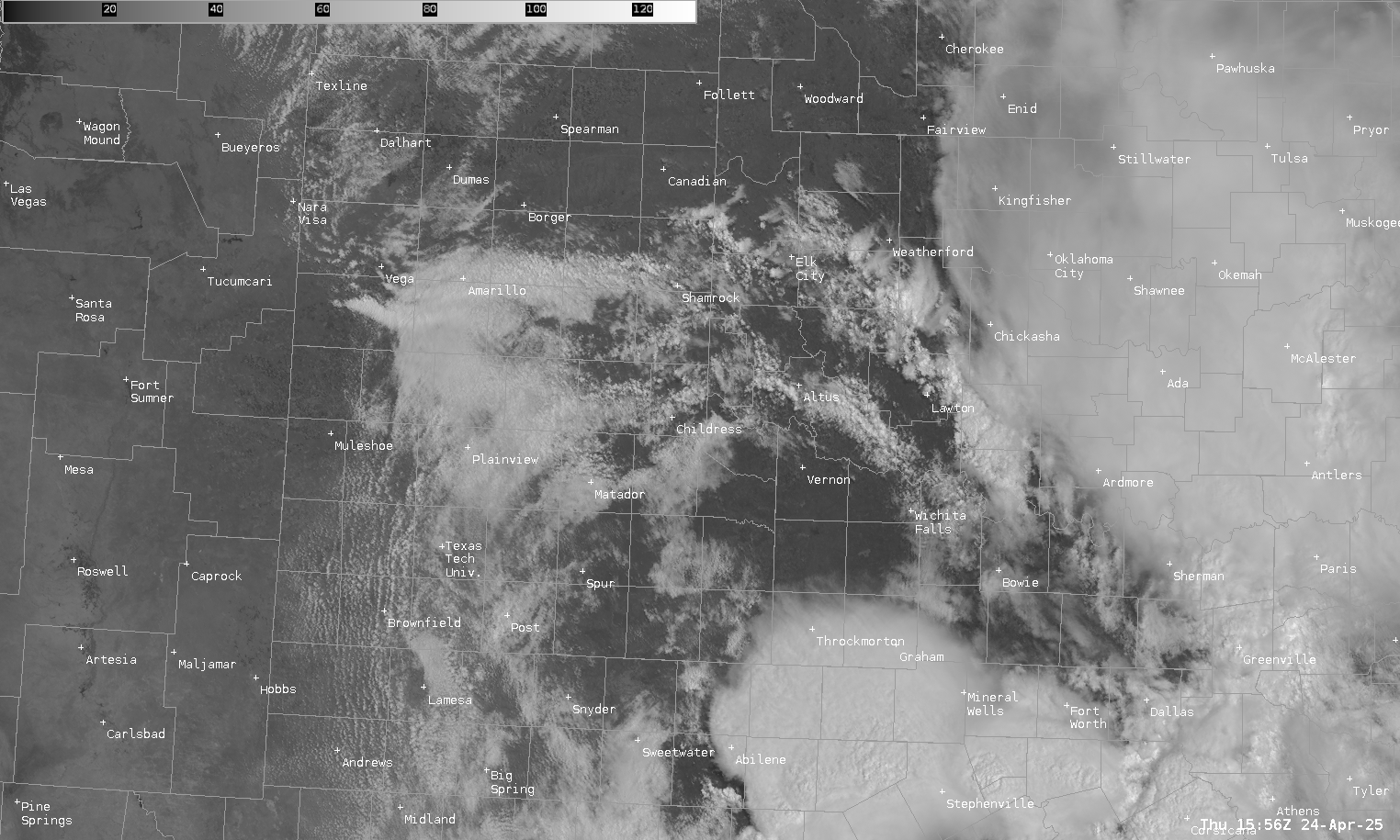
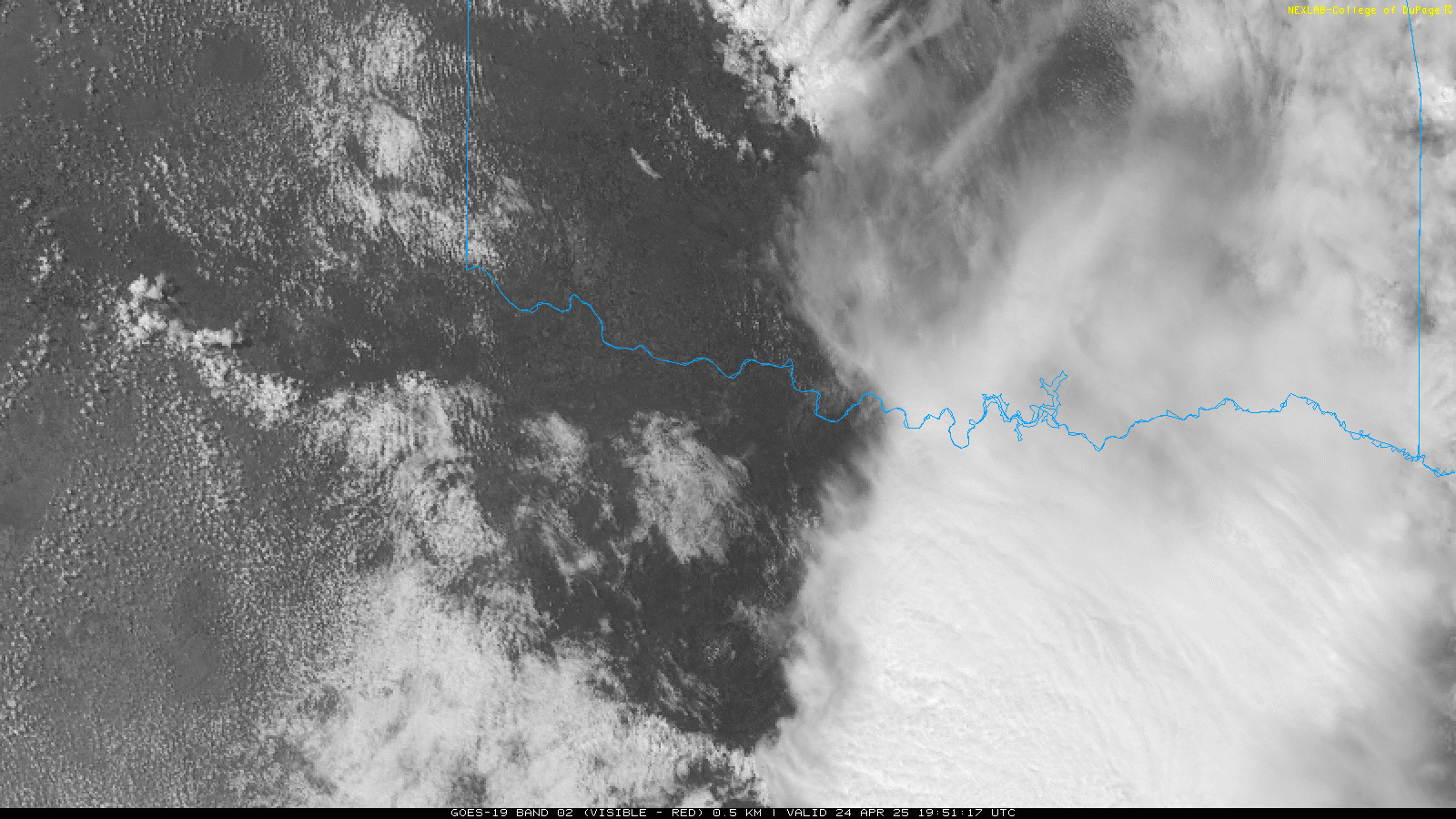
Visible Satellite Loop 18z/1pm CDT
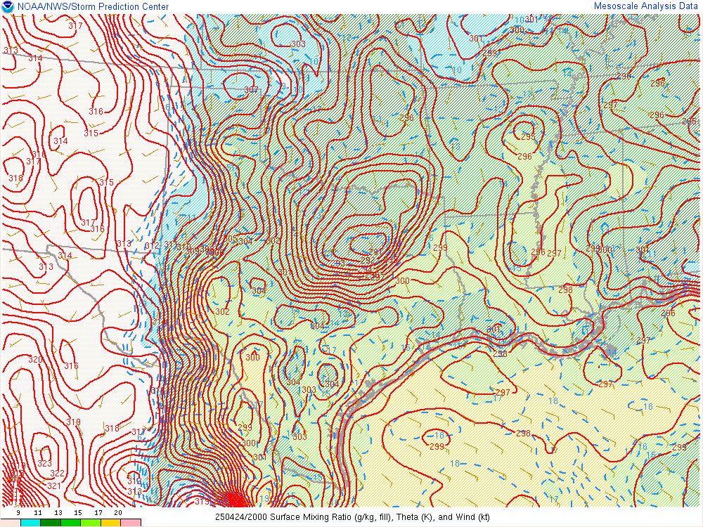
The early afternoon visible satellite loop showed a southerly sliding outflow boundary extending from near Childress over to Happy and Hereford. North of it, stable air from the storms in the morning. South of it remained the unstable/moist air from the Gulf of America.
Departing Norman
I made plans to jump in with Ashton and we’d depart after he was done working. It would end up being around 2:30 when he showed up at my house. After hooking up directly to the battery and loading my gear, we were on I-35 southbound by 2:45. A quick stop to fuel up in Chickasha and we continued down I-44 to US62 in Lawton.
We continued west on US-62 through Altus and Hollis to US83 and then headed south towards Childress
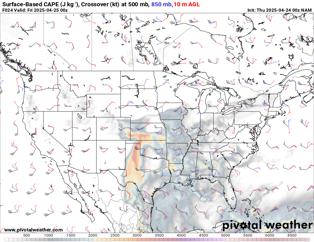
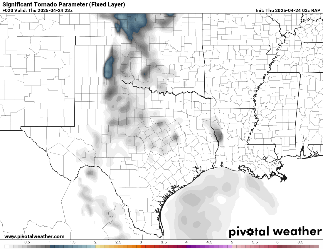
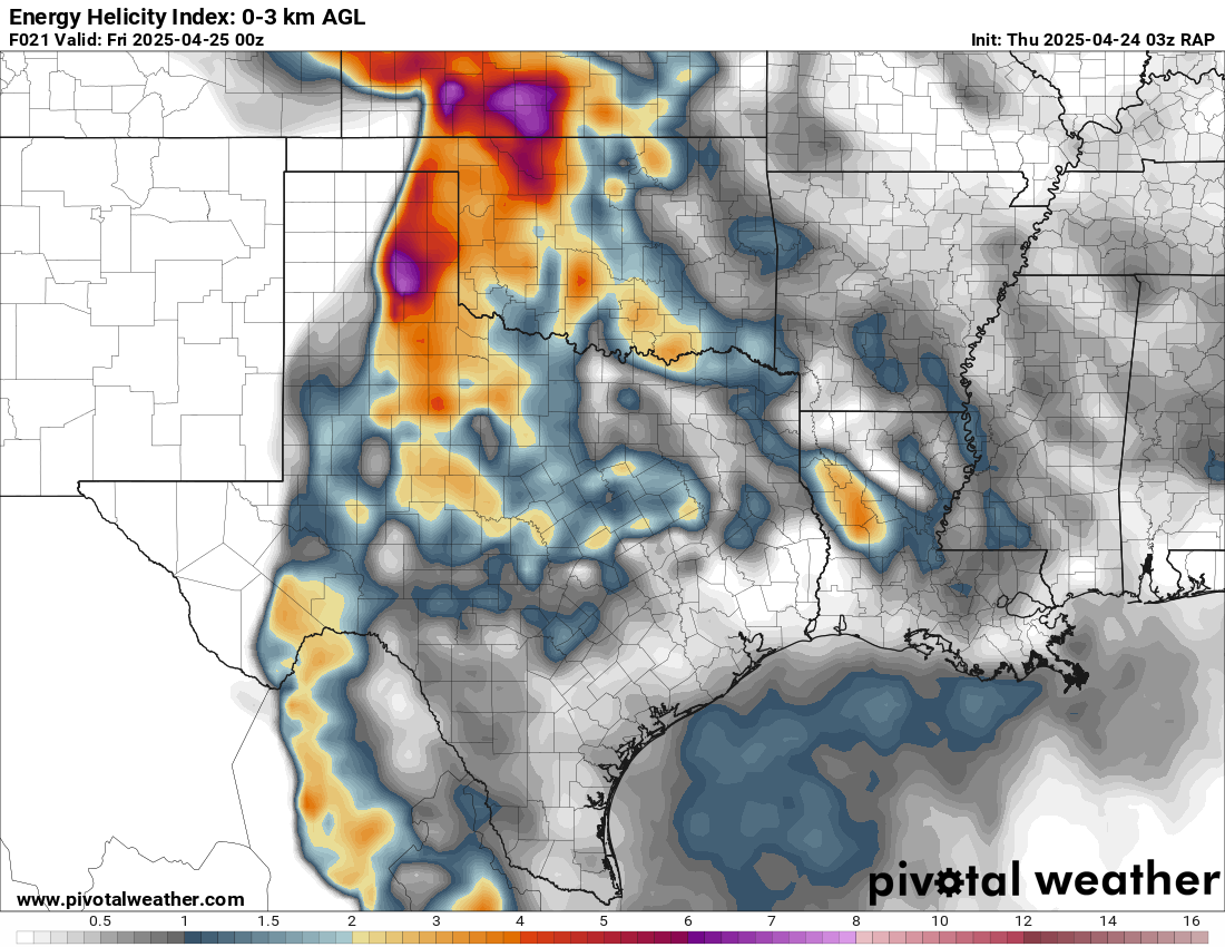
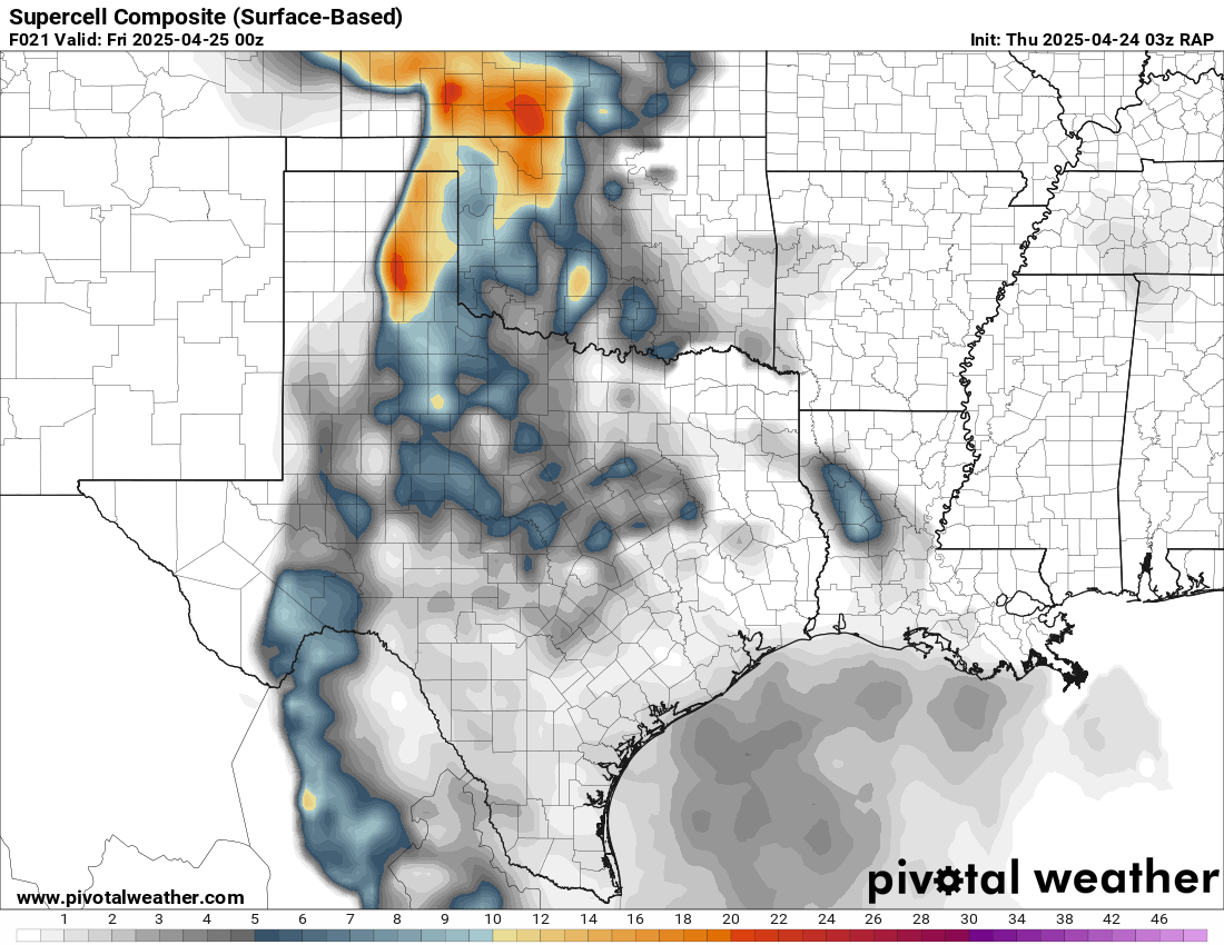
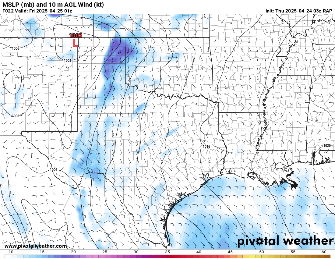
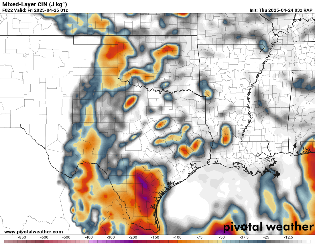
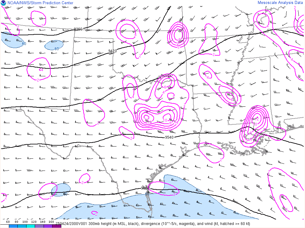
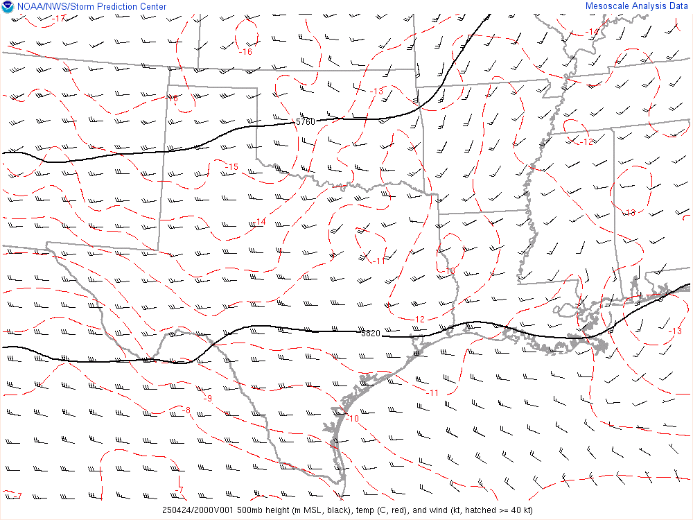
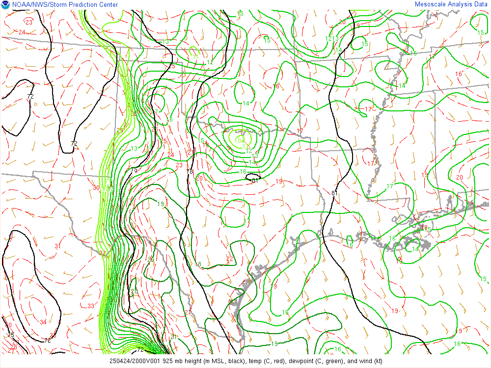
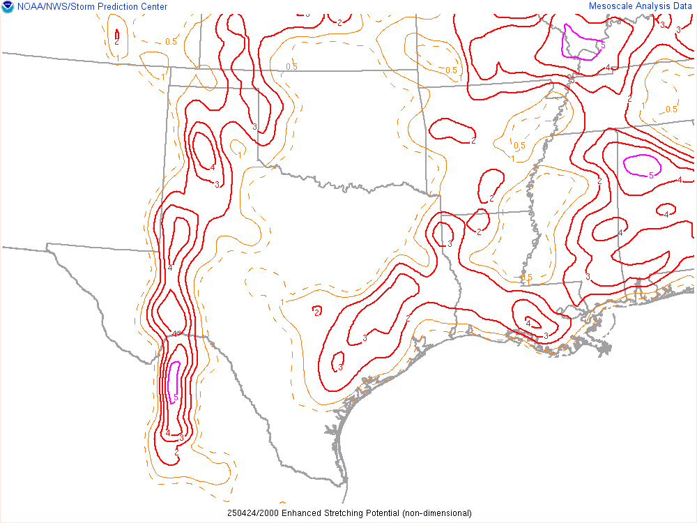
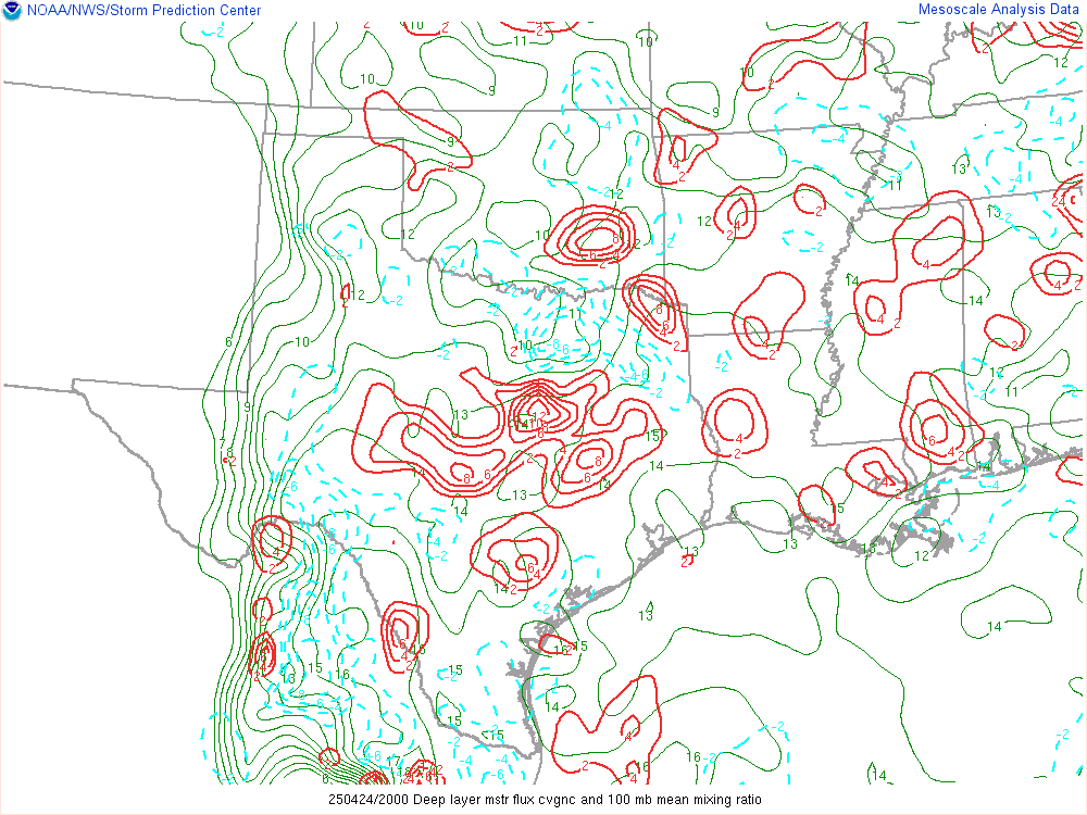
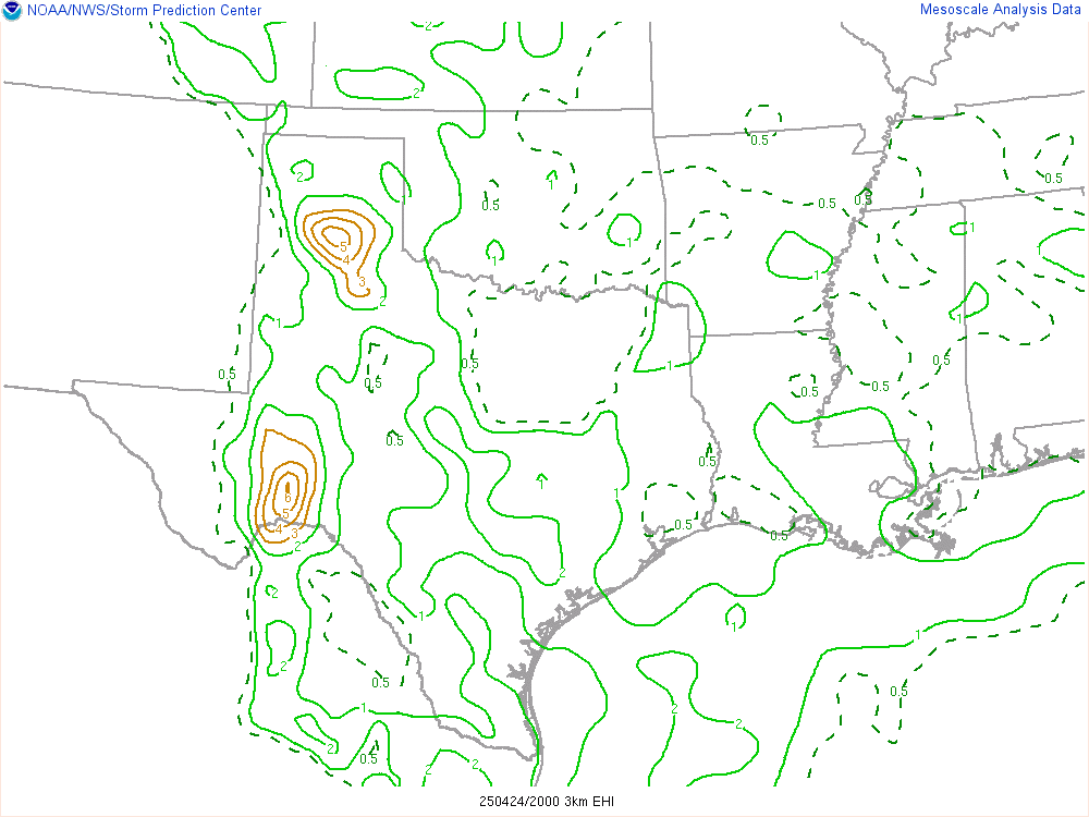
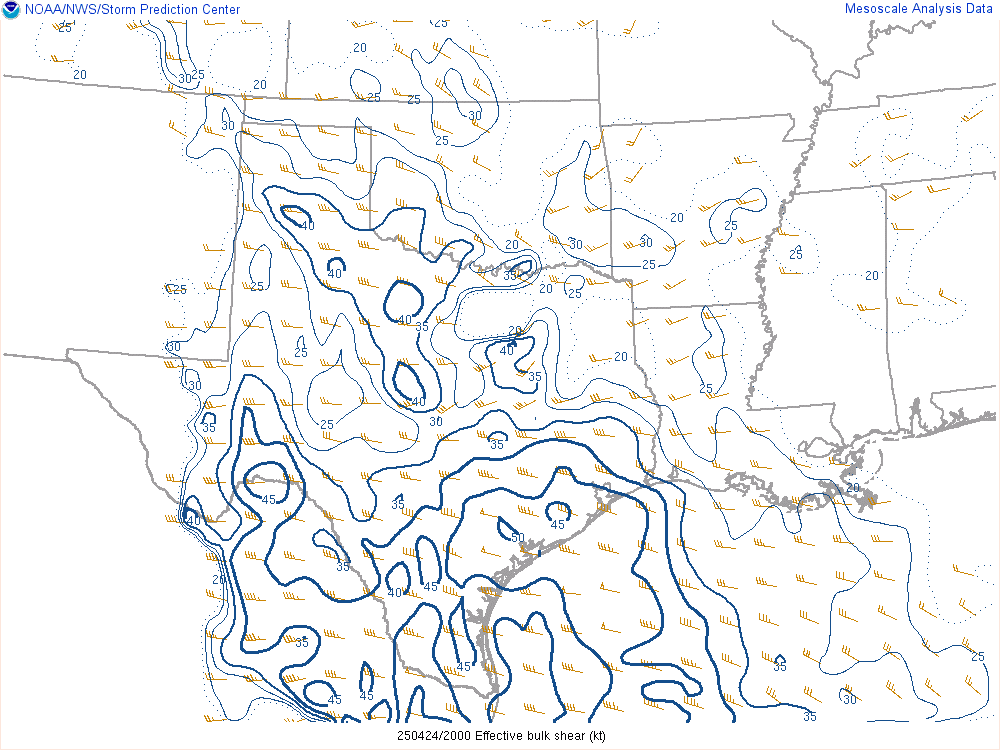
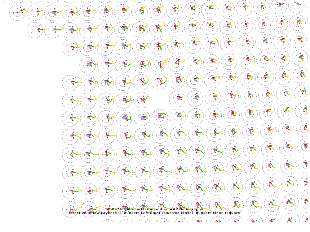
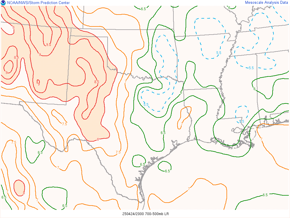
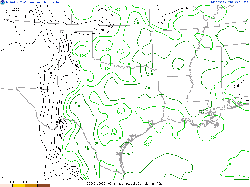
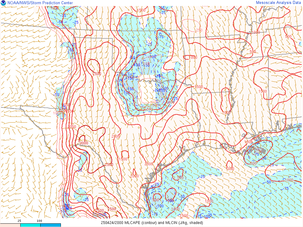
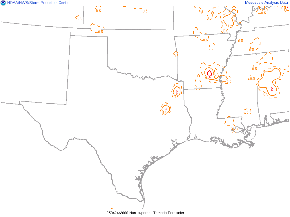
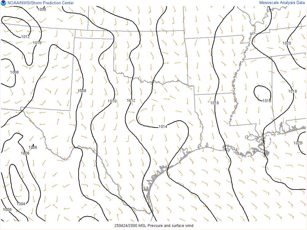
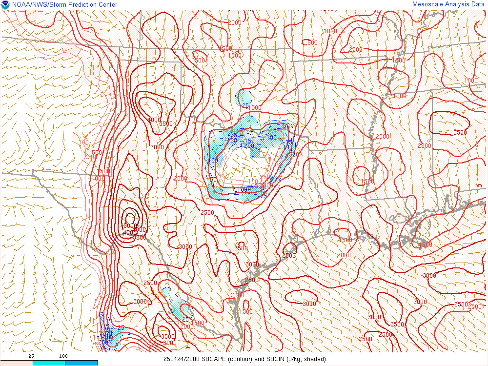
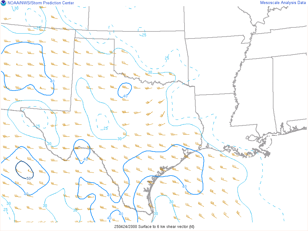
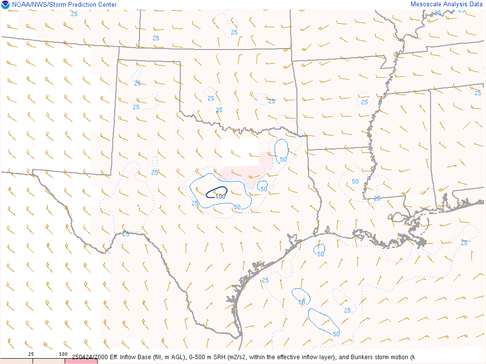
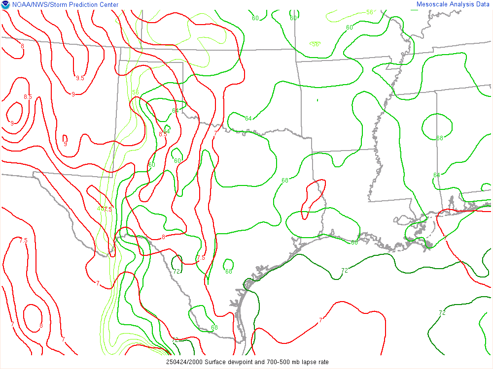
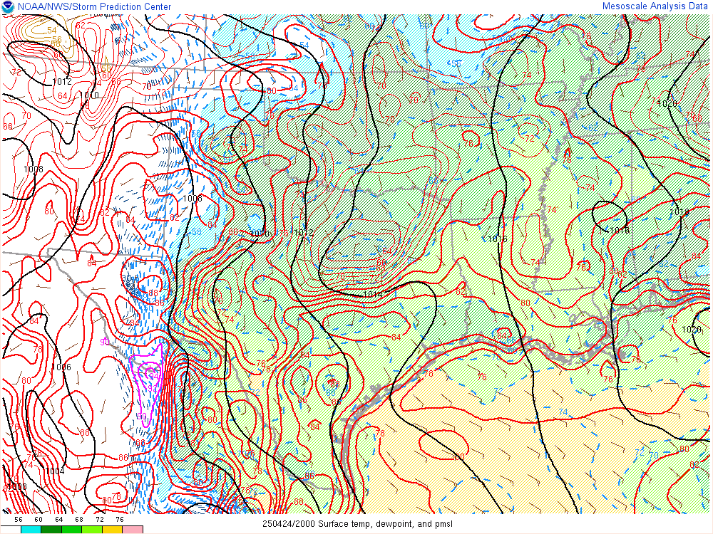
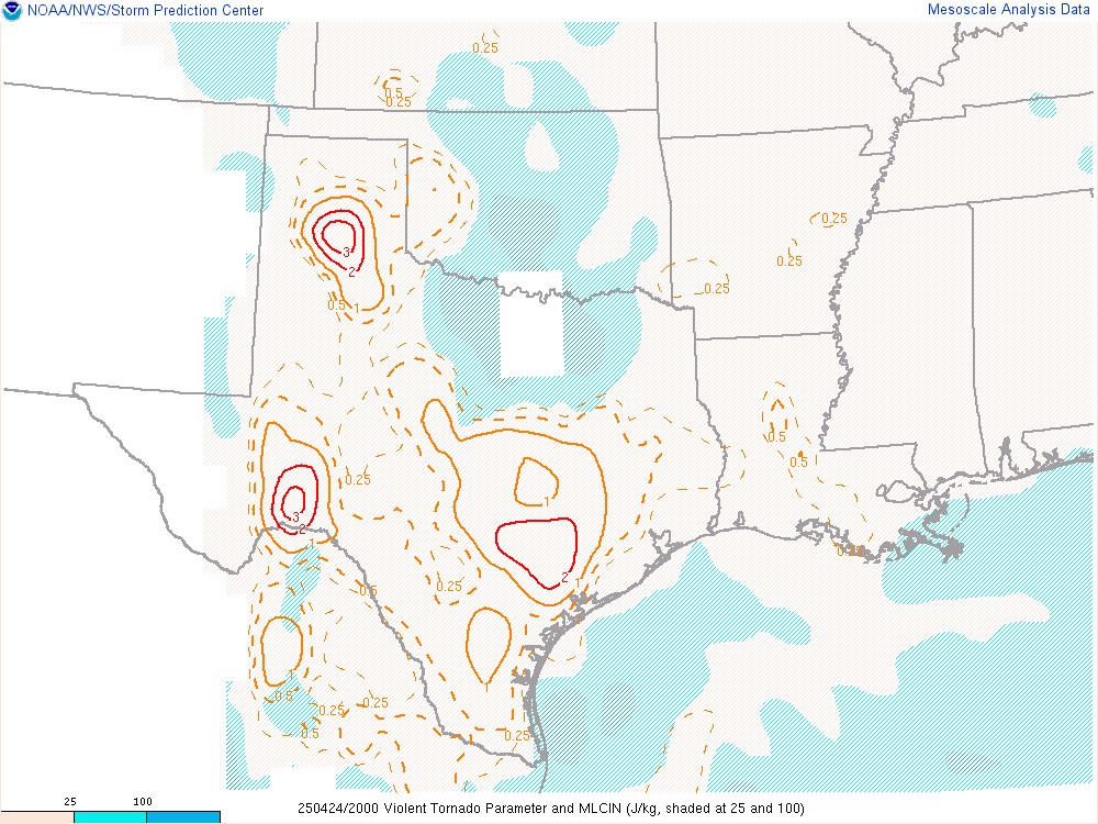
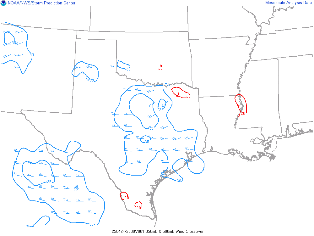
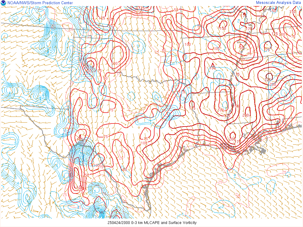
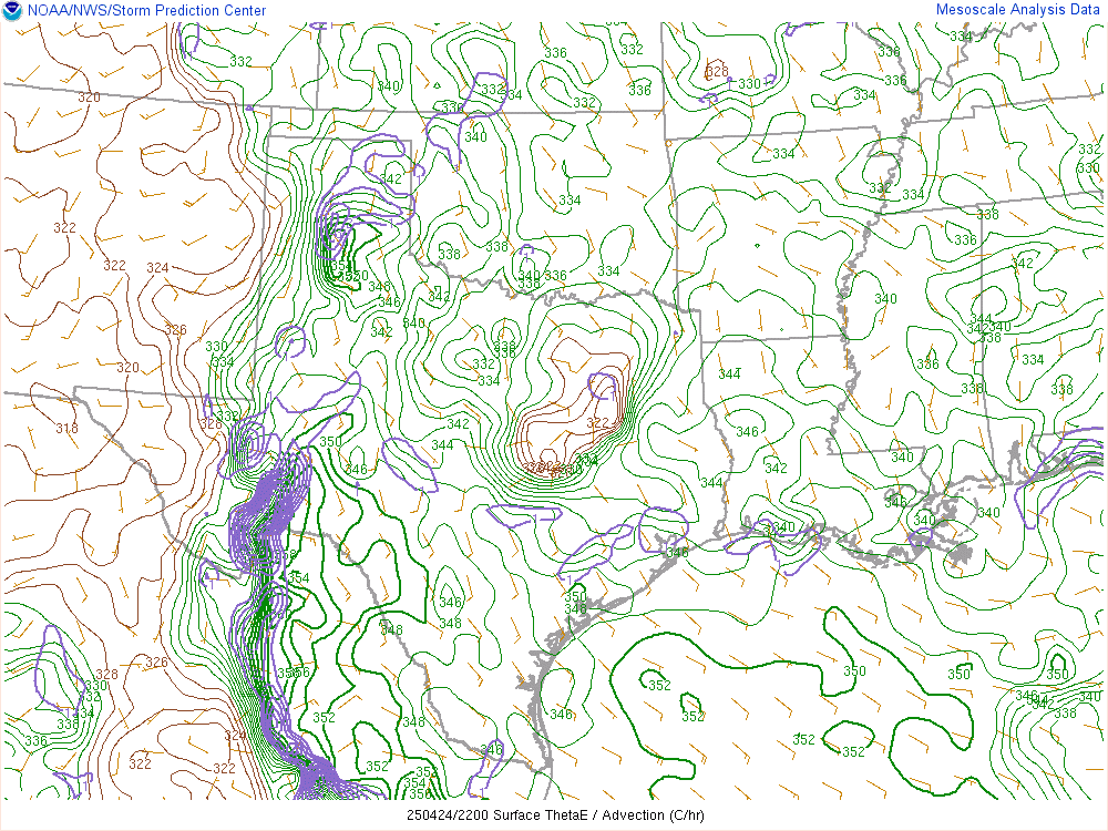
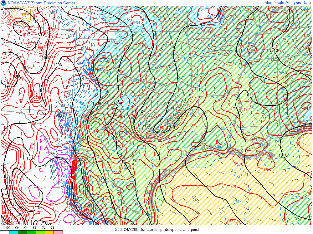
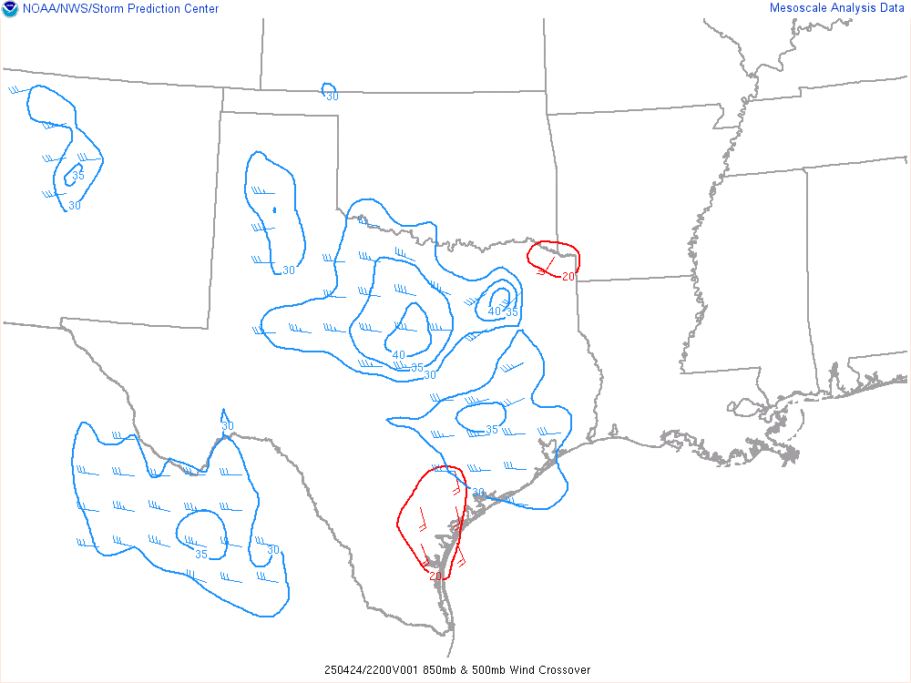
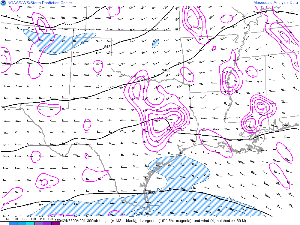
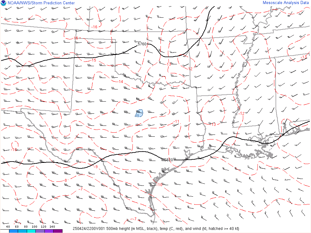
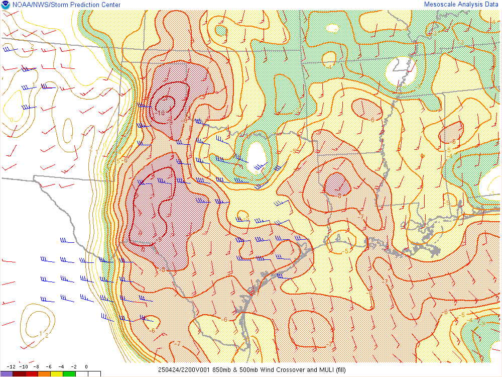
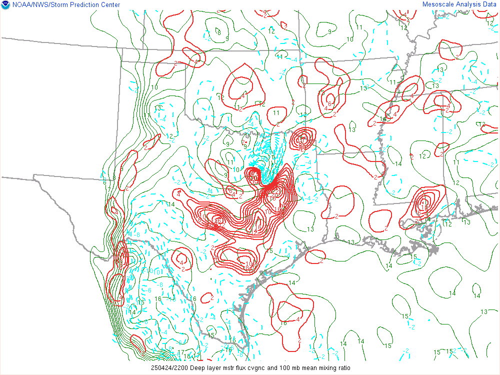
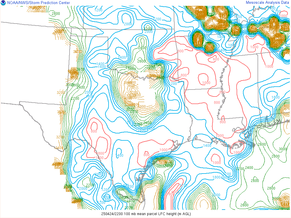
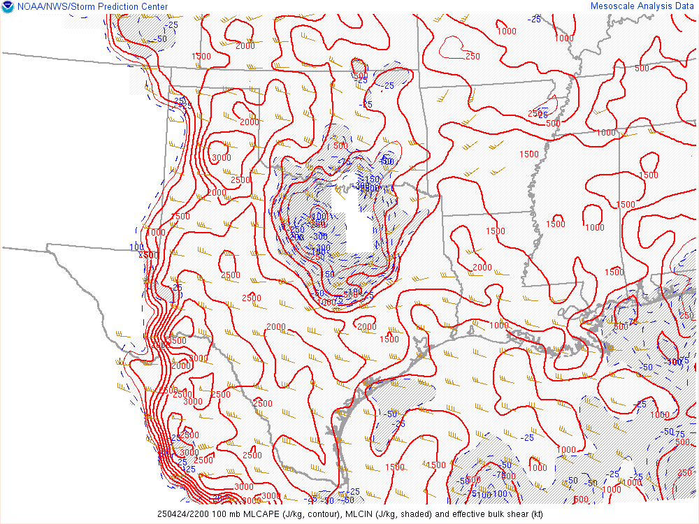
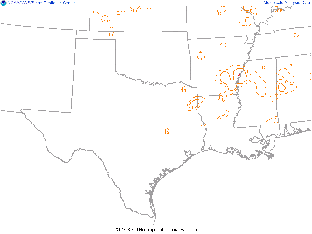
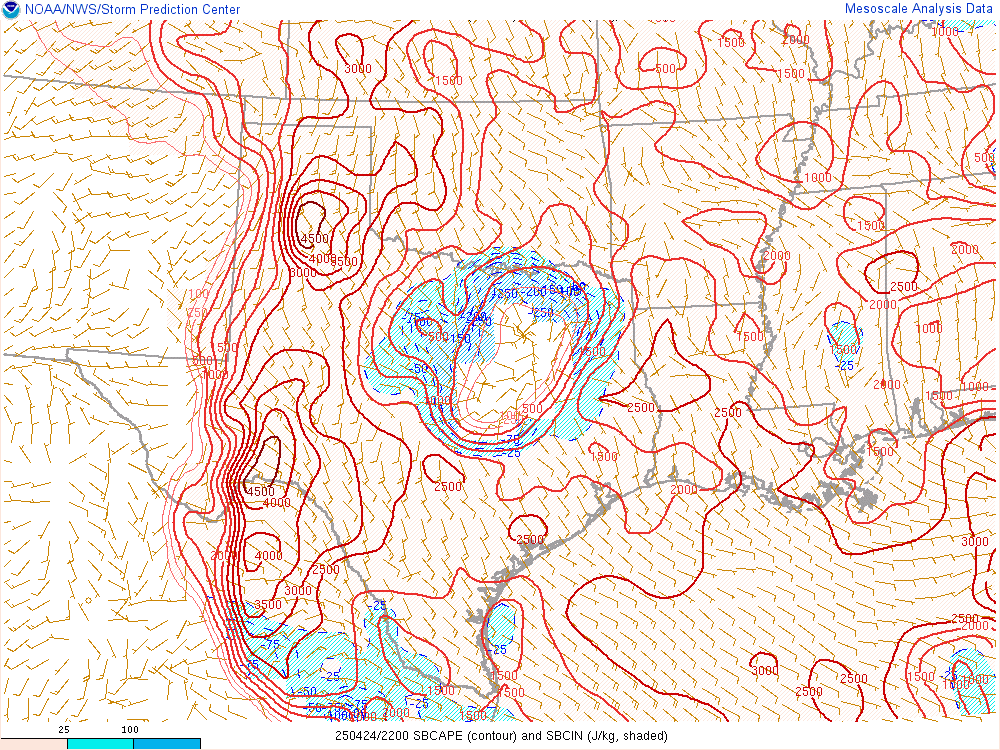
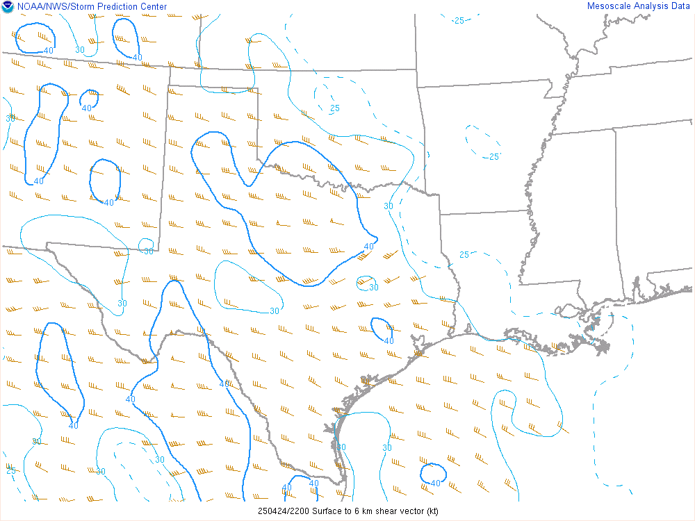
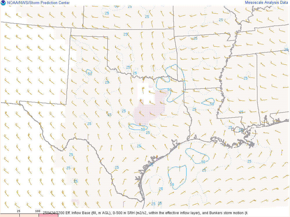
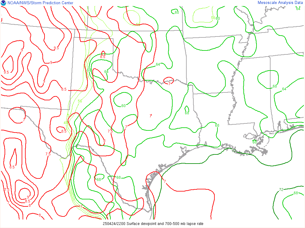
SPC Mesoanalysis 20Z/3pm CDT

Water Vapor Loop and Visible Satellite Loop – 2145Z/4:45 pm CDT
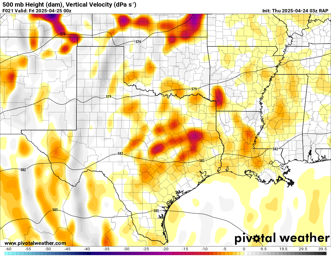
By late afternoon you can see storms starting to fire along the dryline in the mid level water vapor loop. As the jet slowly eases into the Texas panhandle, it pops storms in the cumulus field along the dryline.
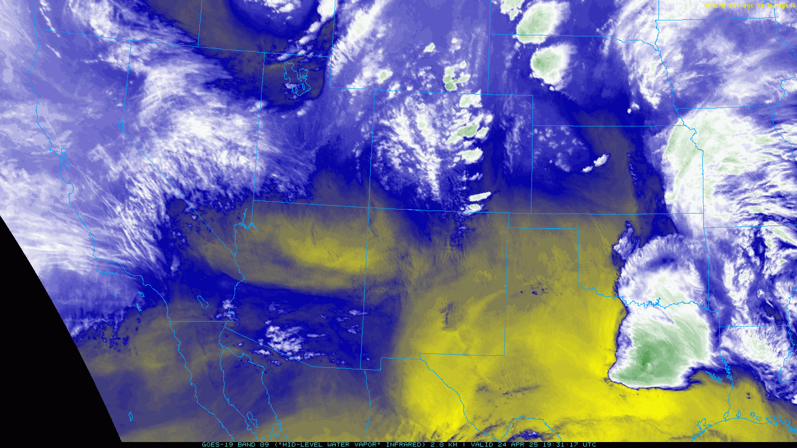

As you can tell, the cluster of storms blowing up north of Plainview was starting around 4:30 pm. The outflow boundary continued moving south and west, however, moisture was feeding up to the west of the modified air.
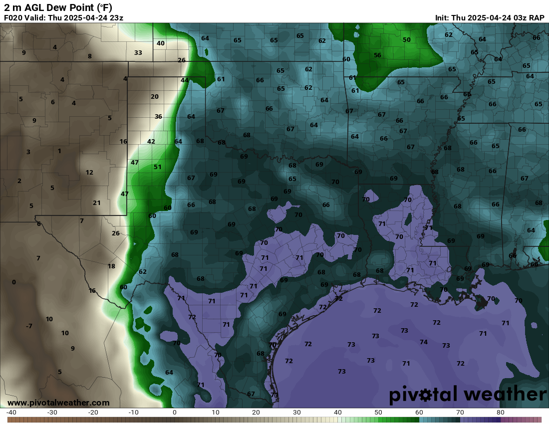
21Z Amarillo Observed Sounding
The 21z Amarillo sounding showed some stability in the lower levels still, but a generally moist and unstable airmass. As can be seen on the visible satellite loop above, Amarillo was still in the more stable area north of the outflow boundary. It was at this point I became a lot more confident in our chances of witnessing a tornado.

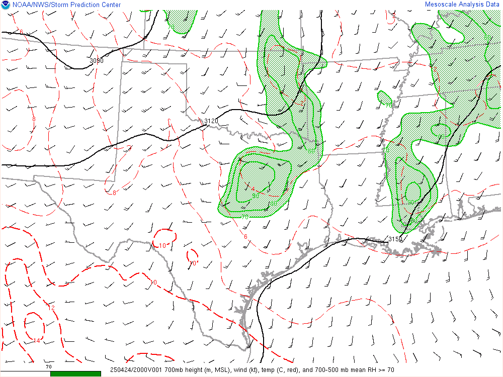
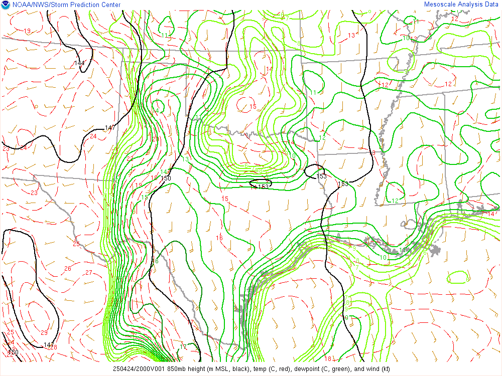
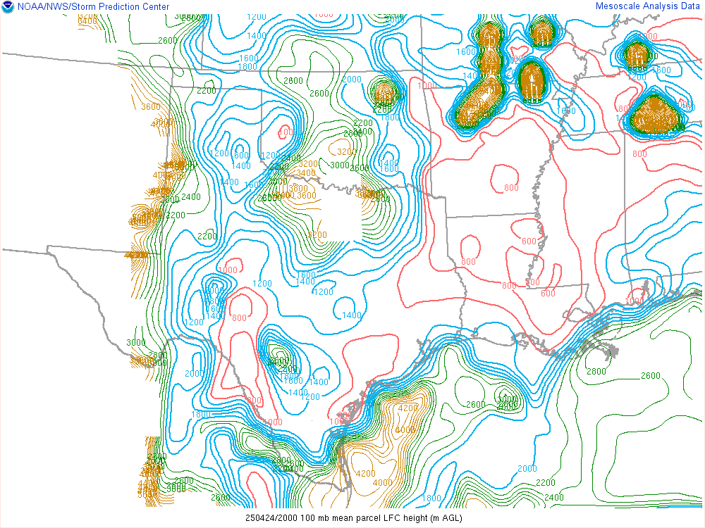
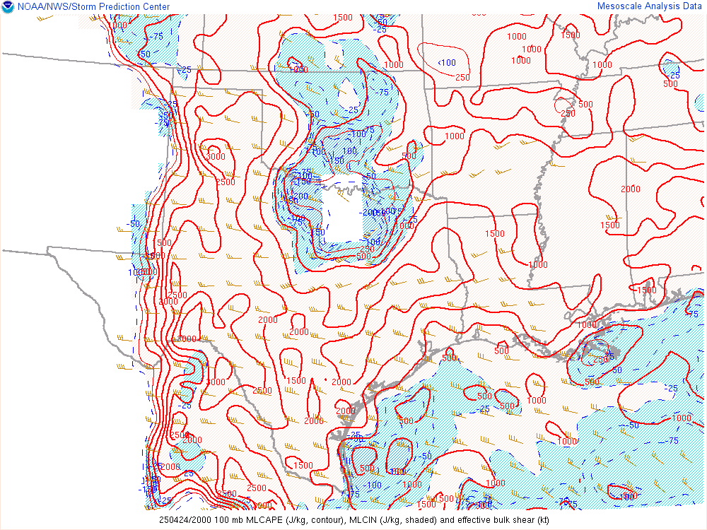
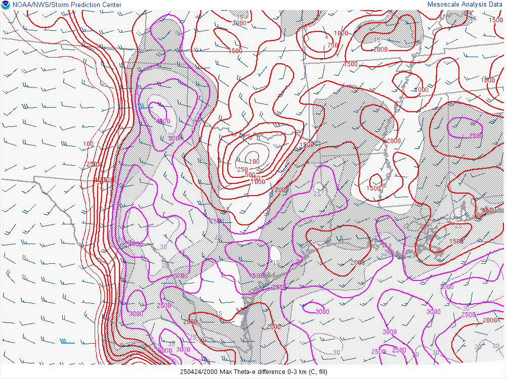
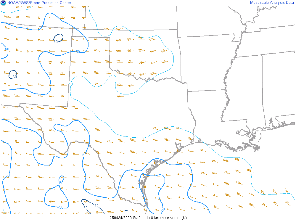
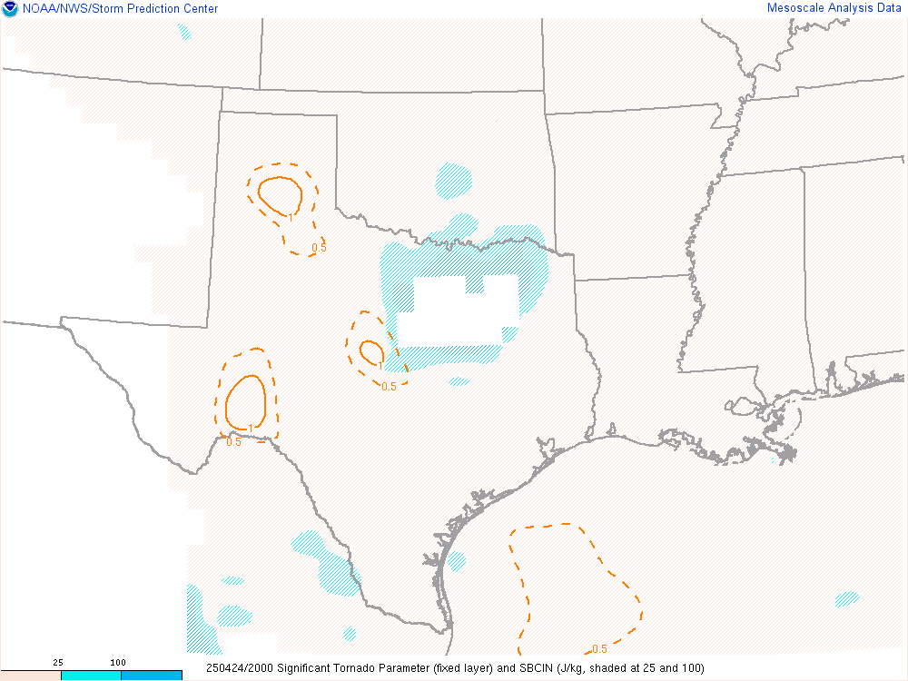
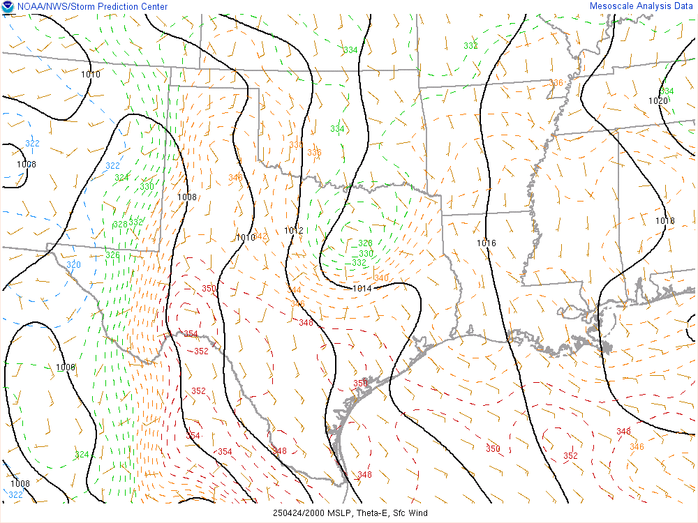
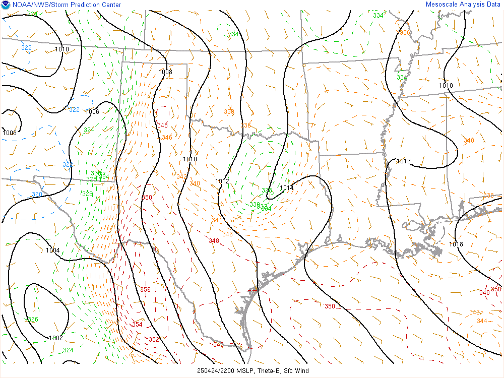
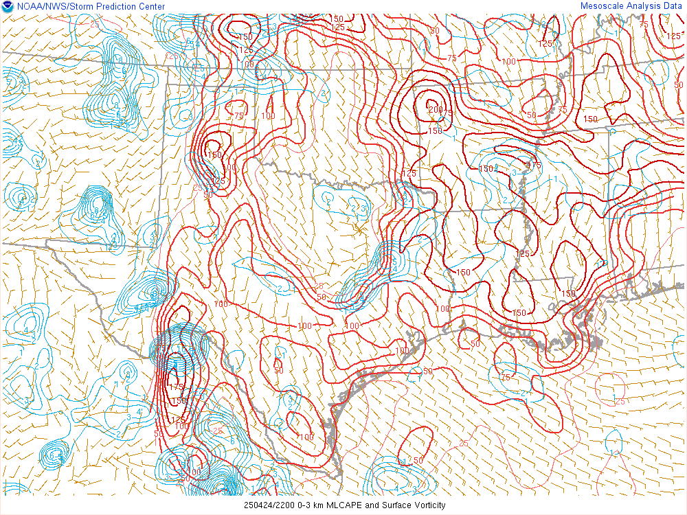
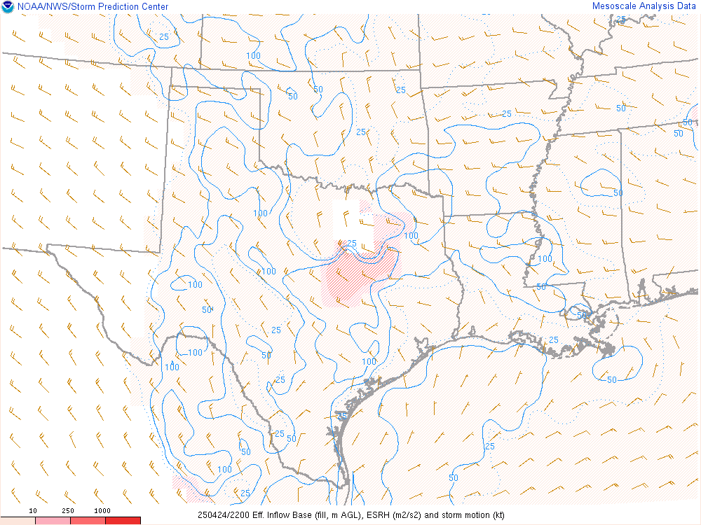
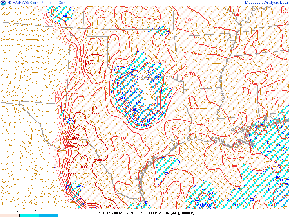
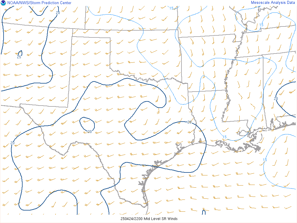
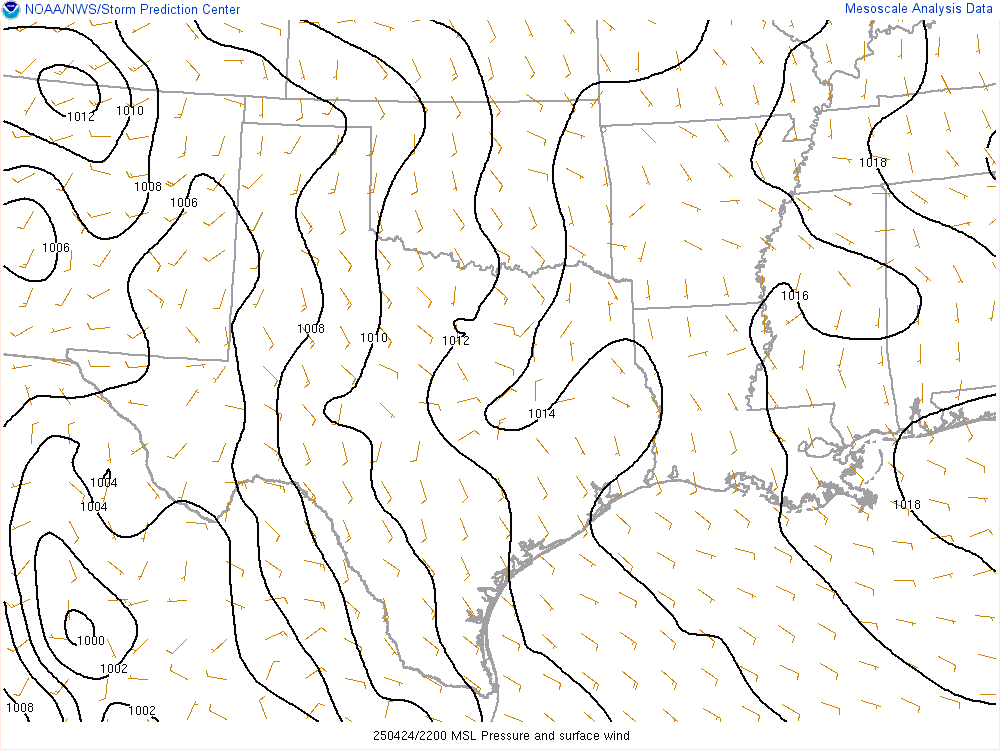
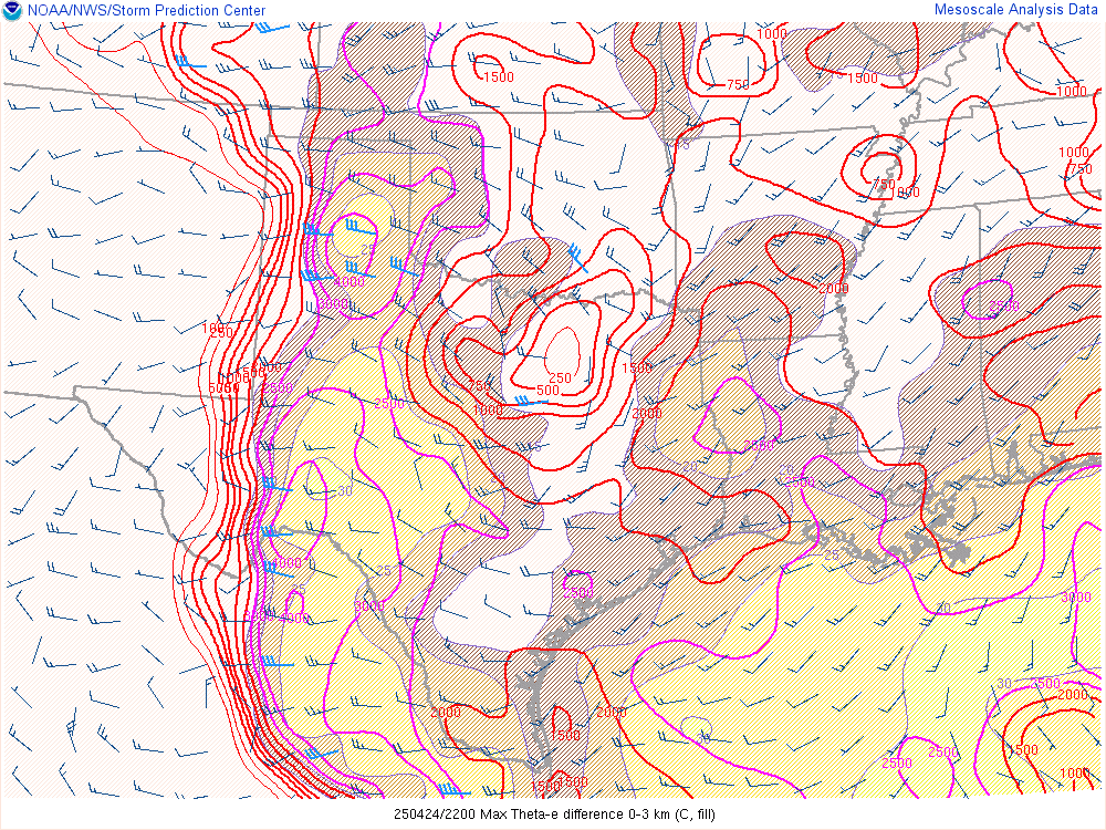
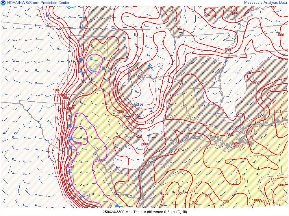
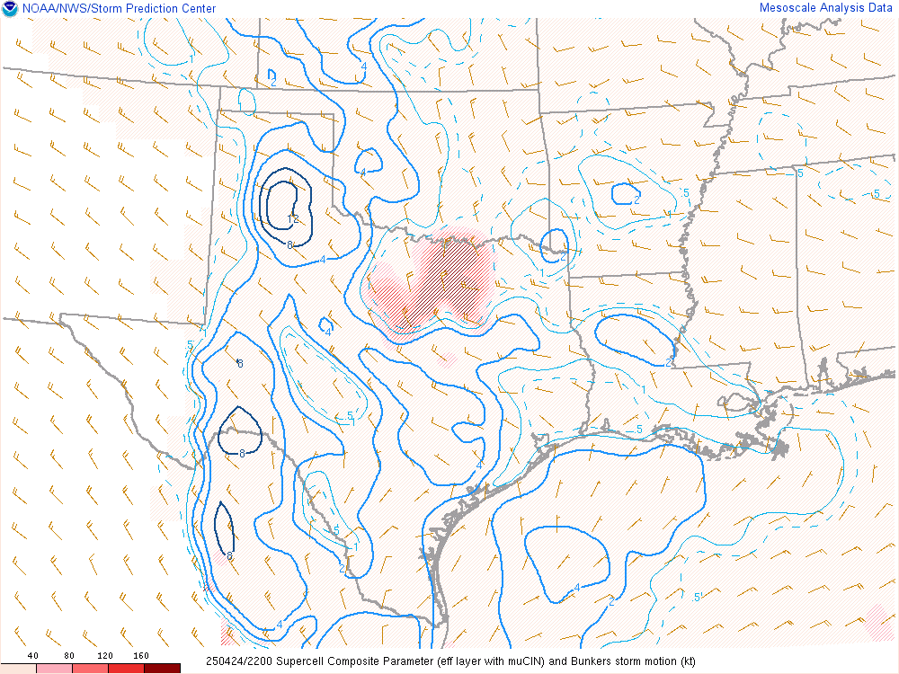
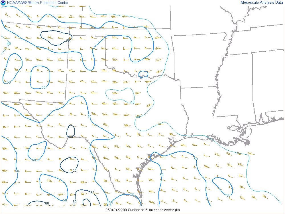
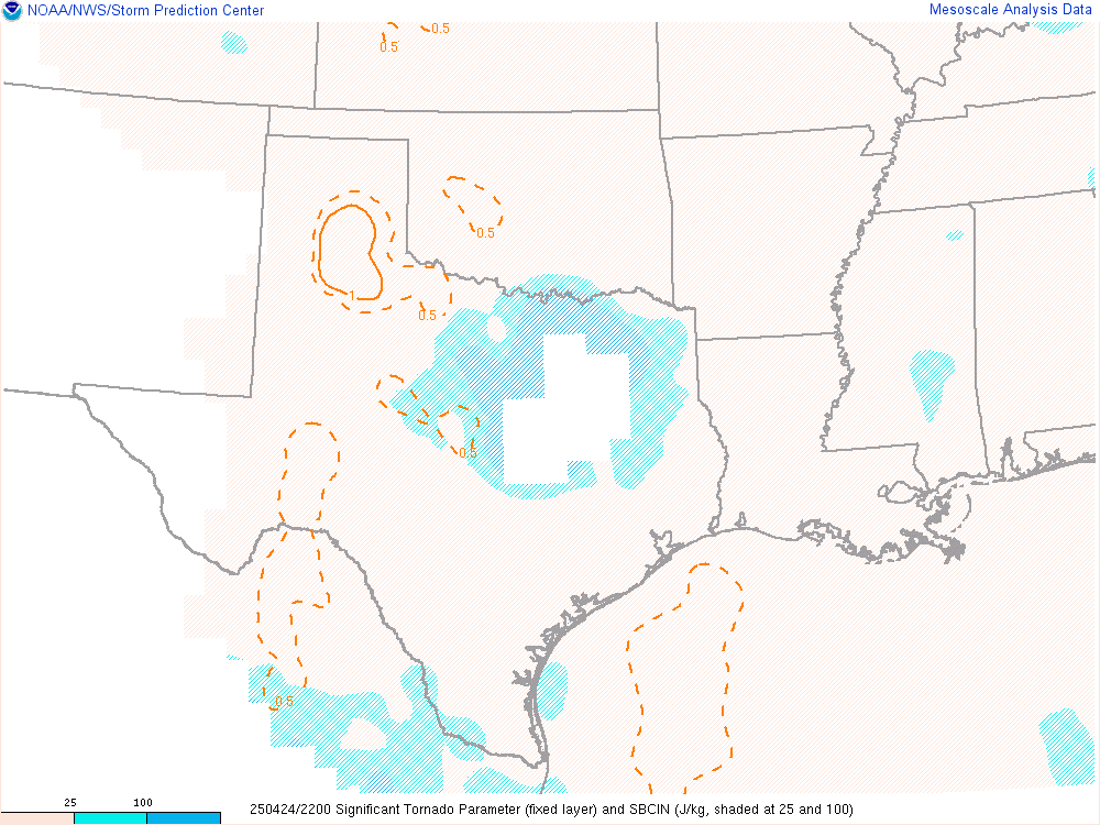
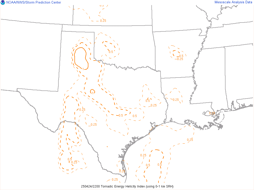
22Z SPC Mesoanalysis
Pit stop in Childress to empty and fill
We had not stopped since the gas fill up in Chickasha and needed to empty bladders and top off the gas tank. The Pilot in Childress would make a good quick stop for all of that before we continued on. Storms were already up as it was around 6pm at this point, with a Severe Thunderstorm Warning on the supercell near Silverton.

We headed south on 83 and then west on FM94 through Northfield towards Turkey. We witnessed the first tornado near South Plains from far away near Northfield. I spent a lot of the next 20 minutes telling Ashton to step on it. We made it to Turkey and dropped south on 70. The storm cycled after the South Plains tornado and took on more of a structured hailer look. We dipped west near Flomot to get a view, then continued south on 70 again.

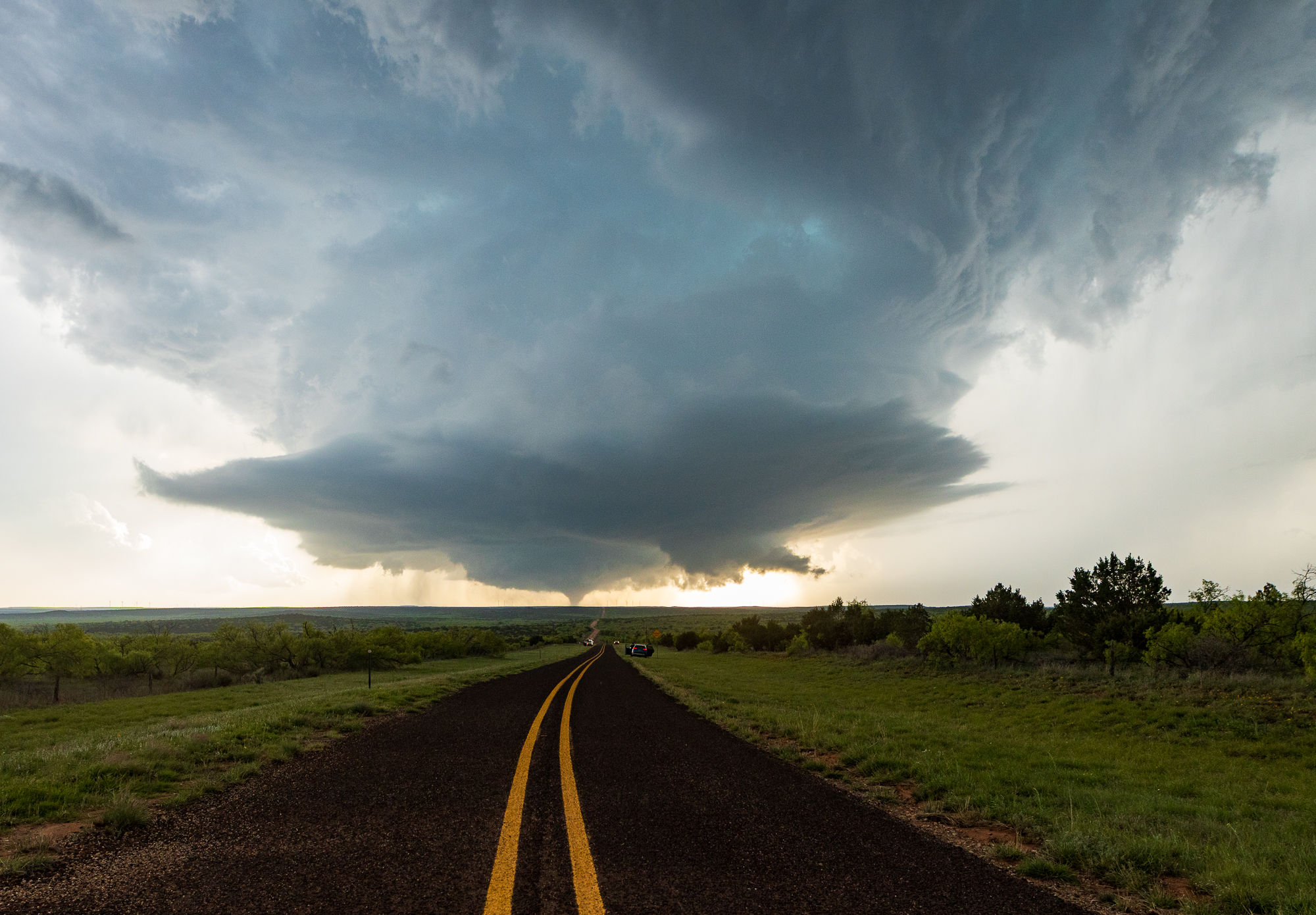
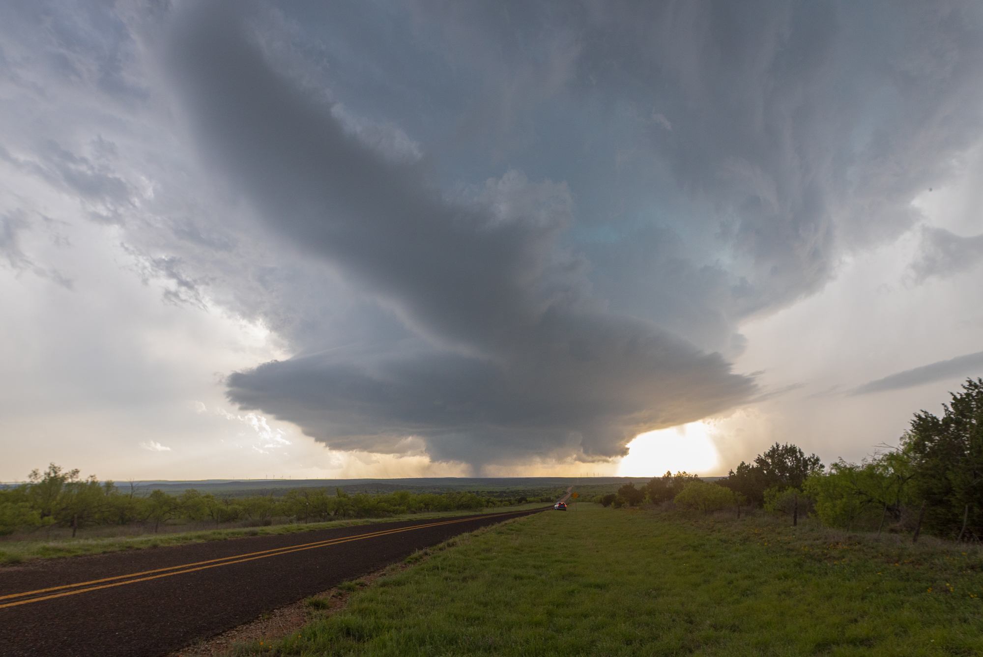
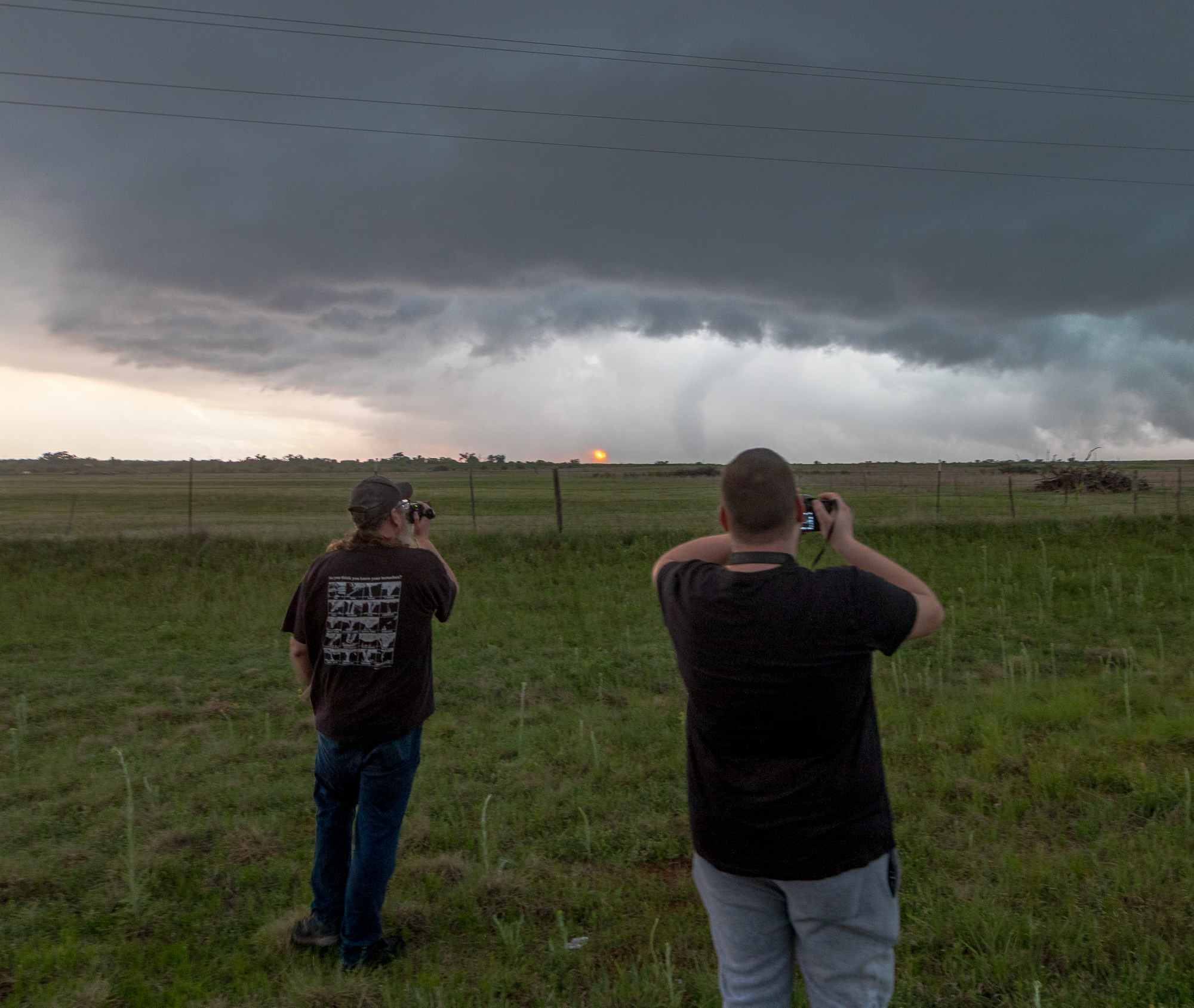
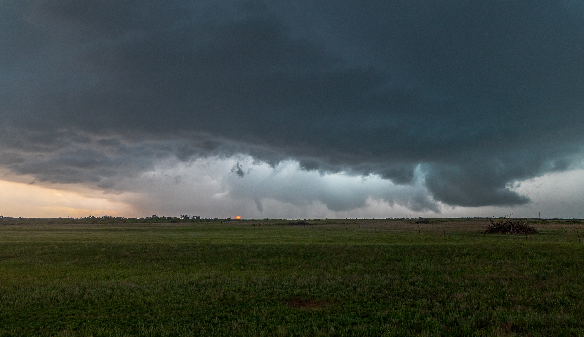
Matador Texas Tornado
As we continued south on highway 70, we decided to take a westward jaunt near Whiteflat north of Matador on Ranch Road 2999. We got about 6 1/2 miles west of 70 and were greeted with a beautifully structured supercell and a sign reading Pavement ends.

We pulled off there and by the time I could empty my bladder we were getting strong rotation underneath. Shortly after, the Matador Texas Tornado appeared underneath with some crazy motion.
As we were watching the tornado, it would become apparent we needed to move if we did not want to get hailed on. It was not my car, so we retreated back to 70 and south to Matador. From there we headed west on US62, trying to get to Farm Road 28 before the hail came over the road. Unfortunately we would not get that far before it was obvious we would need to turn back around. There was a severe warned storm near Floydada that was being ingested into the storm West of Matador. The tornado had lifted/become enshrouded in rain by this point, so we retreated to Matador and then continued south again on highway 70.
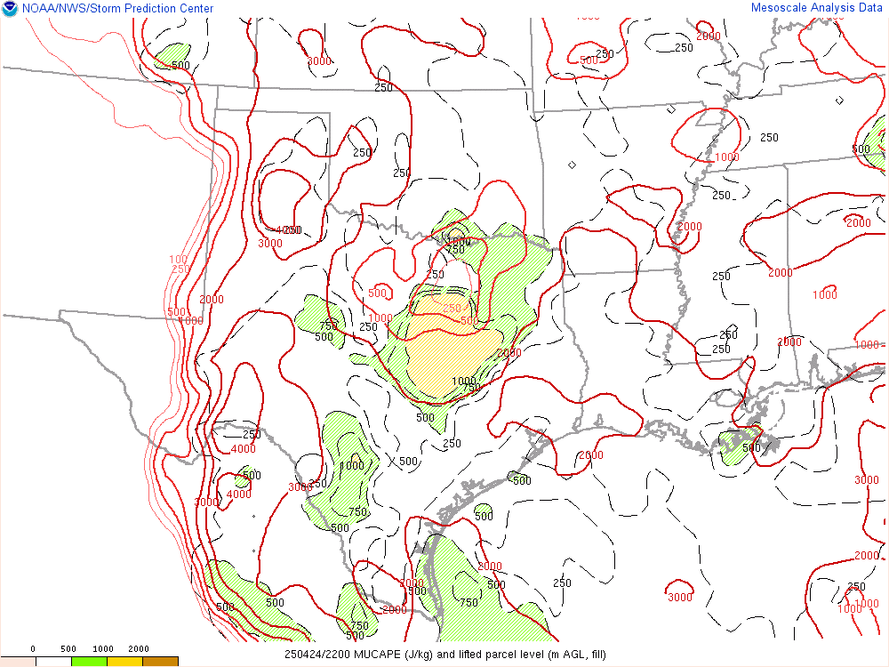
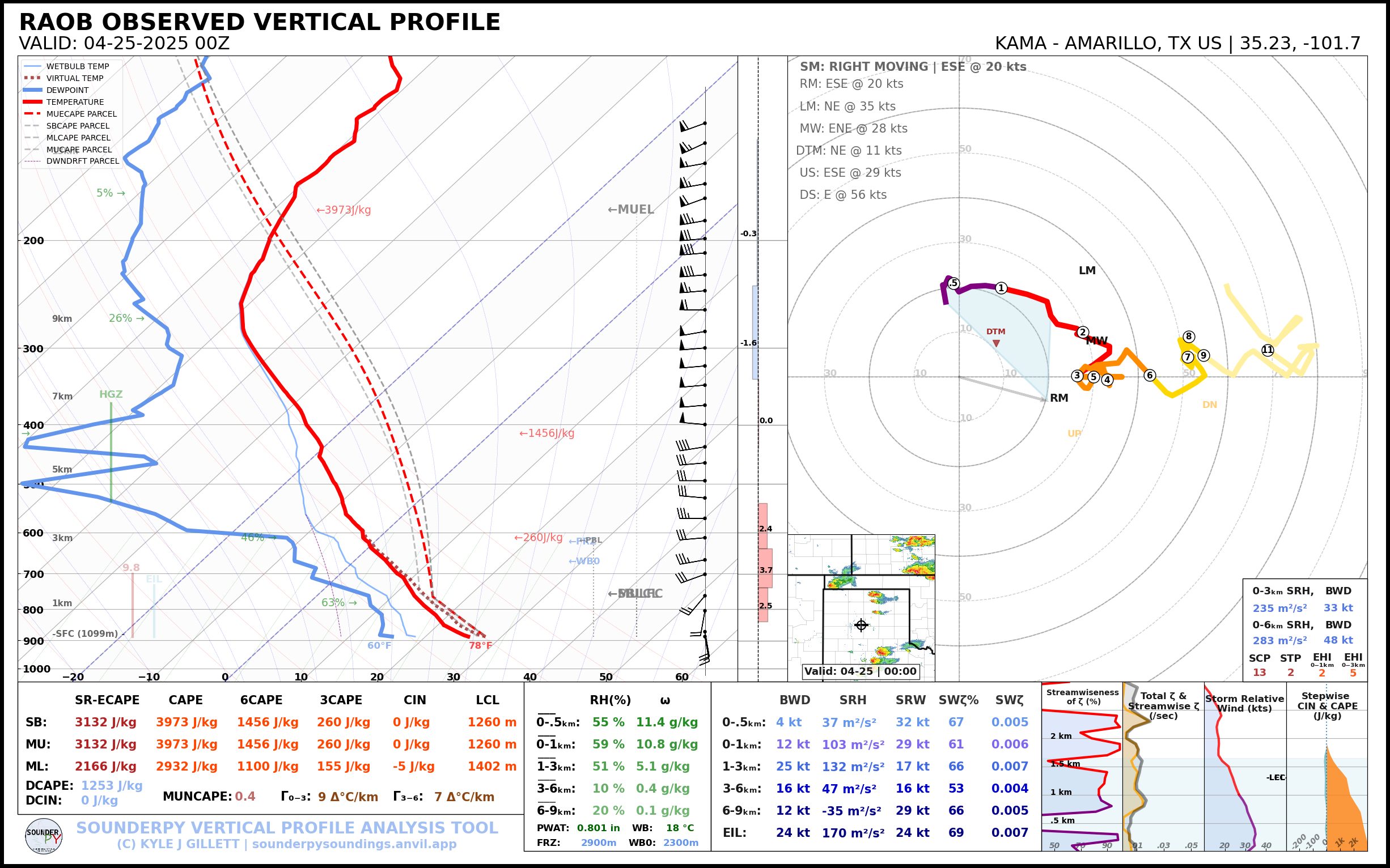
00Z Observed Soundings
The most important 00Z RAOB was from Amarillo, showing a very good thermal profile and reasonably most environment.
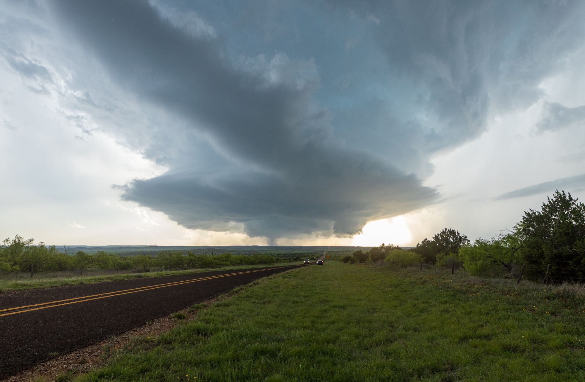
Roaring Springs Texas Tornado
We took highway 70 south through Roaring Springs as precip dipped south. We’d witness a very large tornado back in there for approximately 15-20 minutes before it roped out.
Nightfall and return to Norman
As we waited west of Afton, it was obvious the storm was outflow dominant at this point. The storm to our south and west near Post had taken over as the dominant storm. The sun had set and visibility was gone with the last light. It was time to head home, and dropping to Dickens and US82 was the best route to avoid going through the core of the storm we were chasing.
Dinner was at the Allsups in Seymour on the way home. We’d get back to Norman very late after a fantastic chase.
Links
- Stormtrack Reports Thread for April 24, 2025
- National Weather Service Lubbock write-up
- Brett Roberts write up of the April 24, 2025 Tornadoes


