Storm Chase Details
Miles Logged: 936
States Chased: NE
Severe Risks: SPC Outlooks
Severe Reports: Storm Reports
This ended up being a long out and back day trip which was supposed to be the first of 3 days of chasing.
Forecast
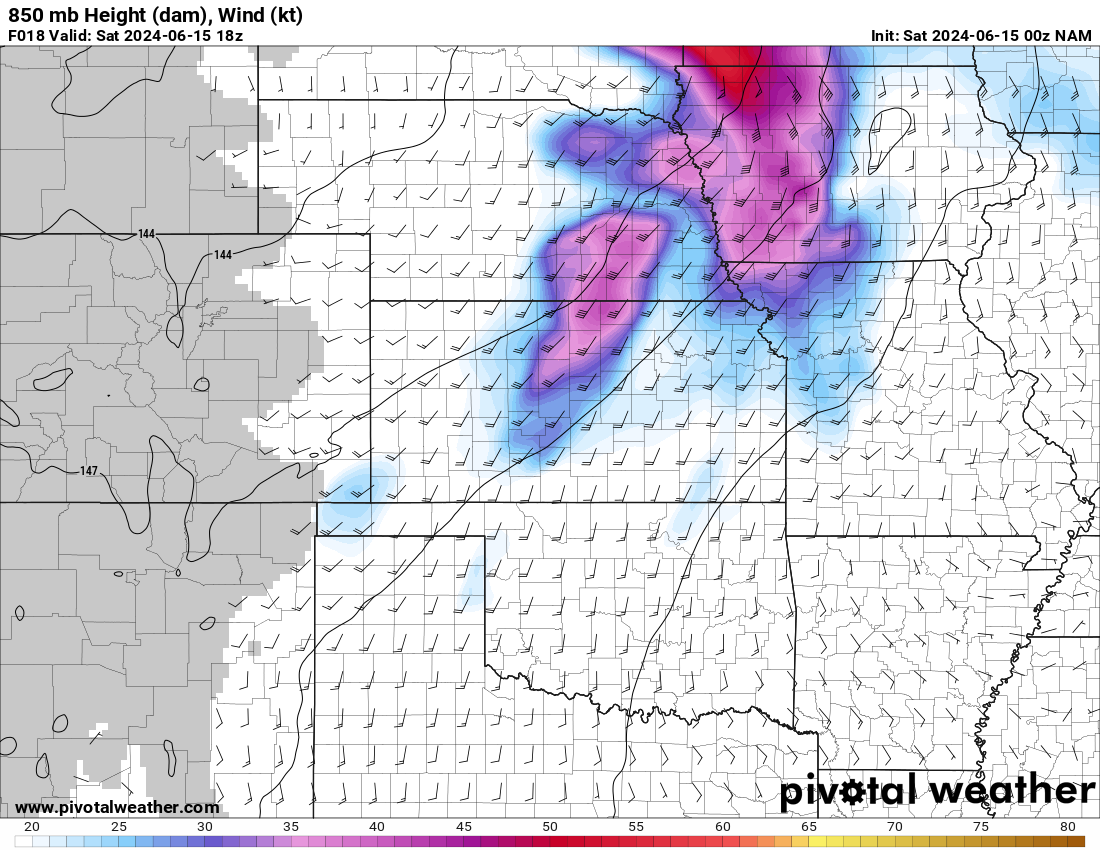
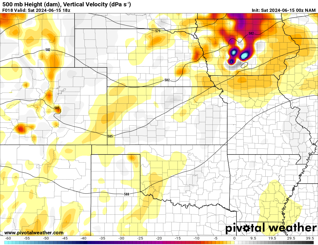
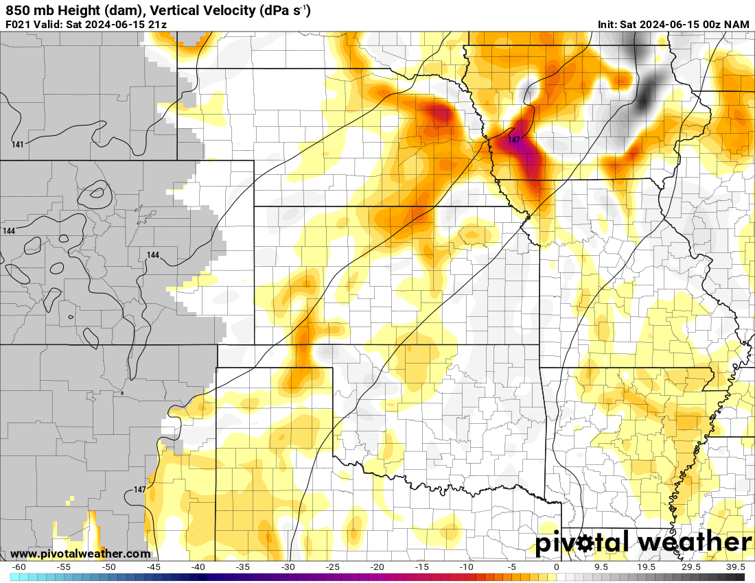
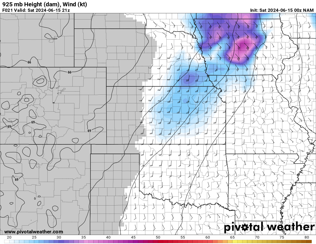
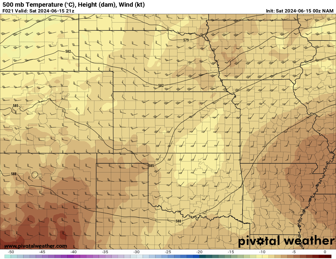
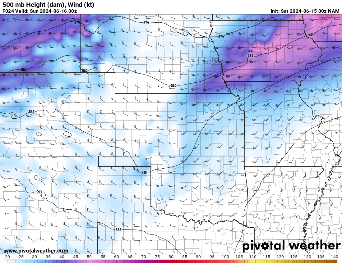
I had the 15th on my radar for a week and a half. After a slower pattern, it appeared we’d have a pick up of the season again. As the day approached, I was ho-hum on it. It wasn’t until I checked out the 00Z Model suite on the night of the 14th that I really decided to chase. I decided around 1am to depart for Nebraska the next day.
I packed a bag for a few days on the road and got the car ready to go, finally getting to bed about 2:30 am.
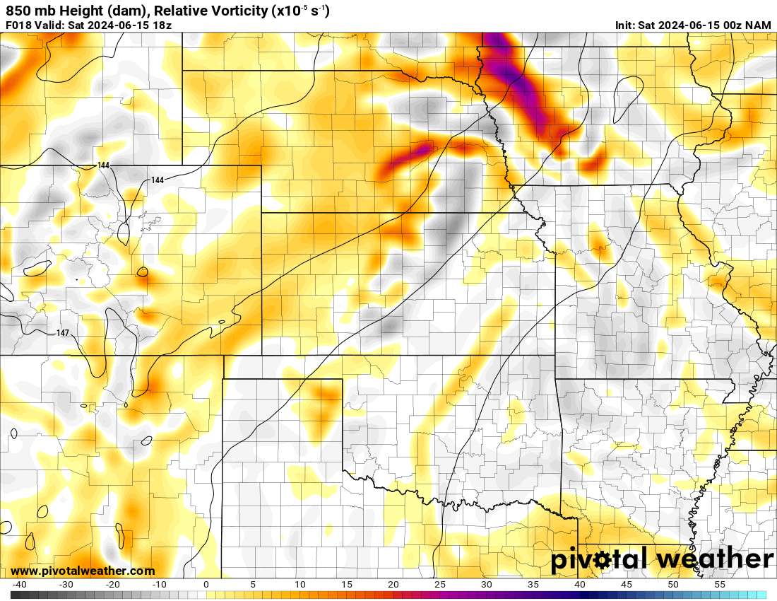
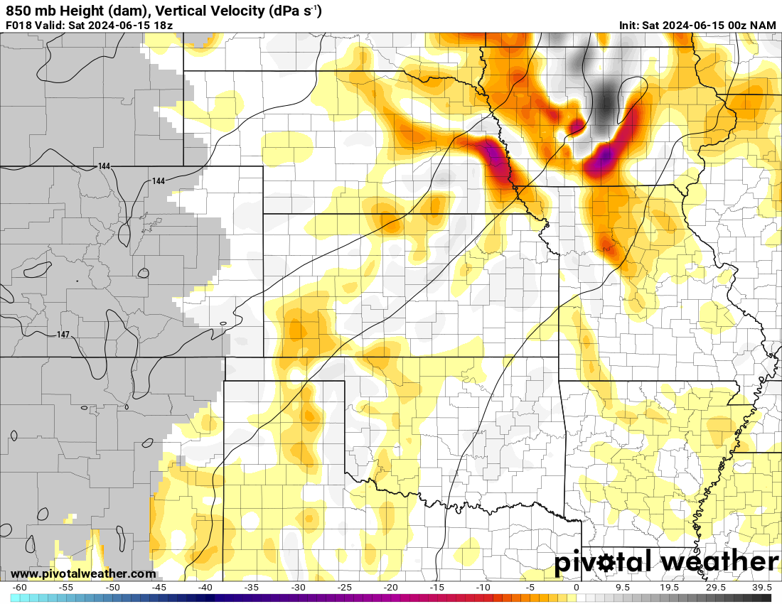
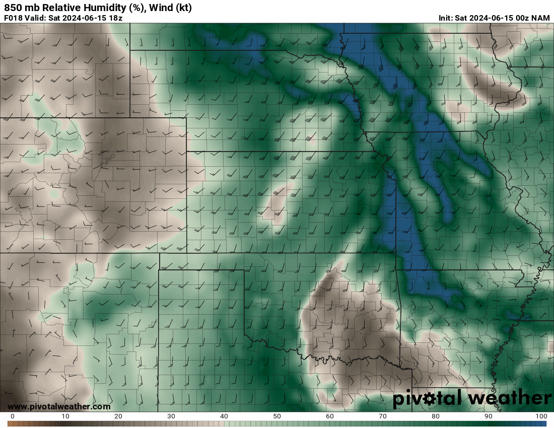
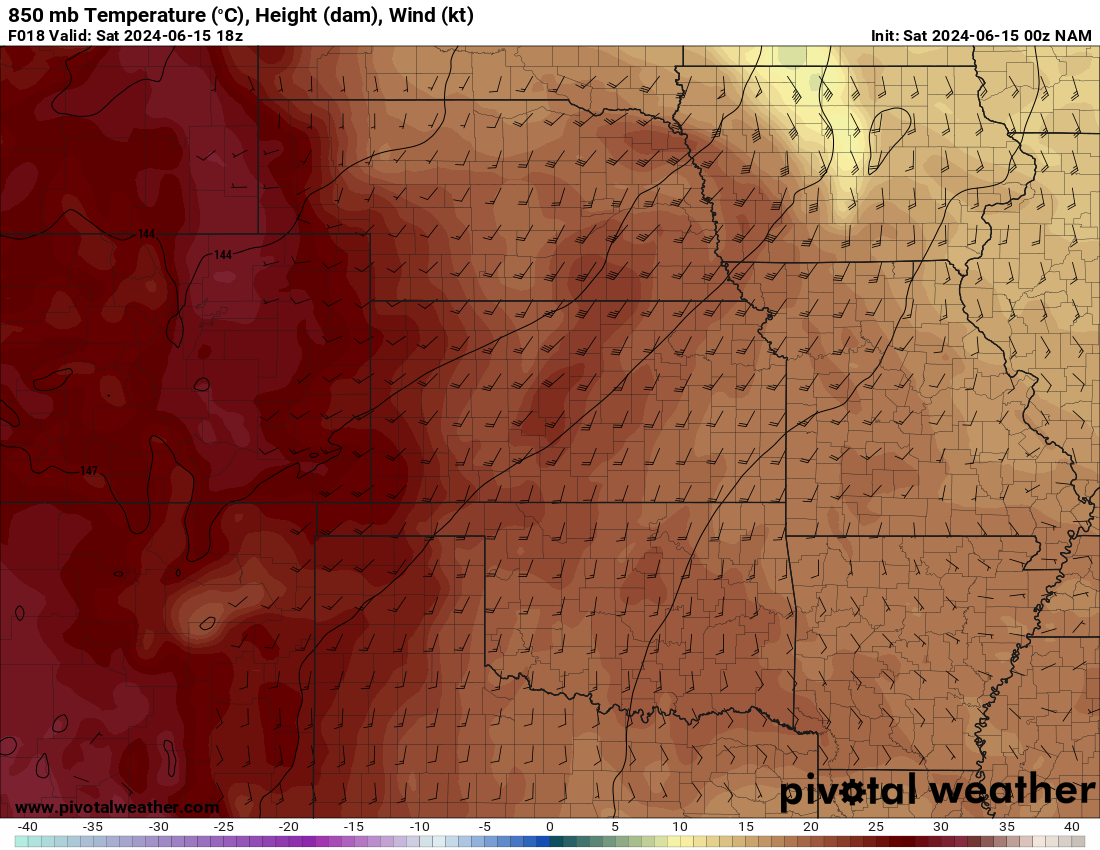
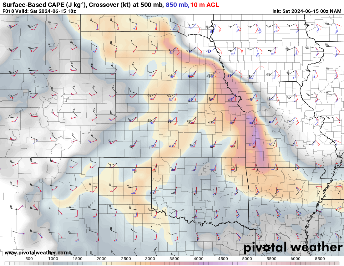
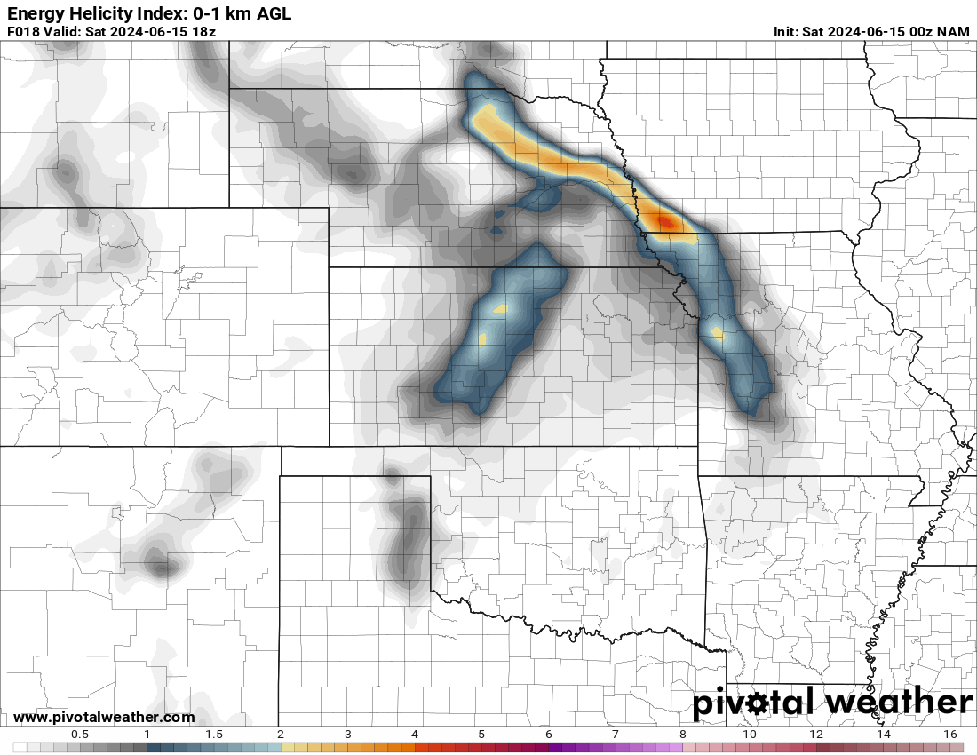
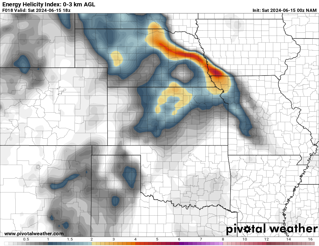
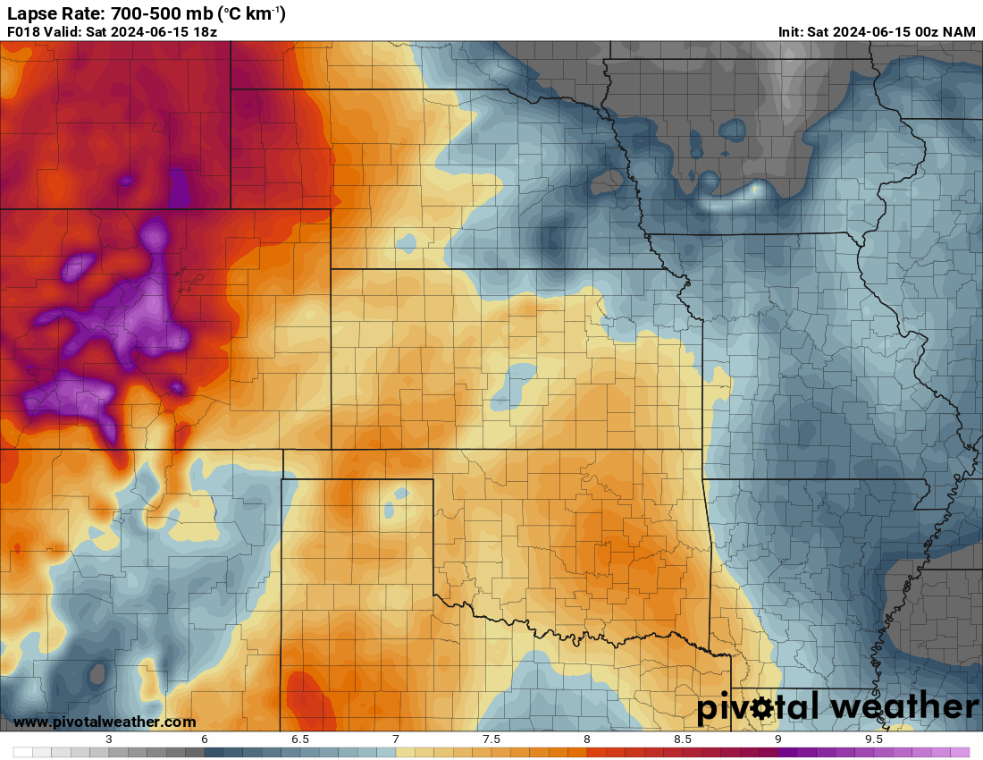
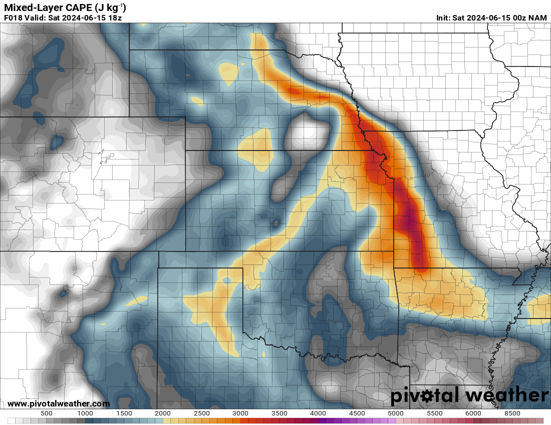
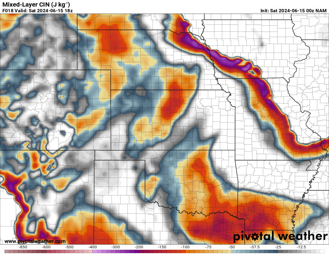
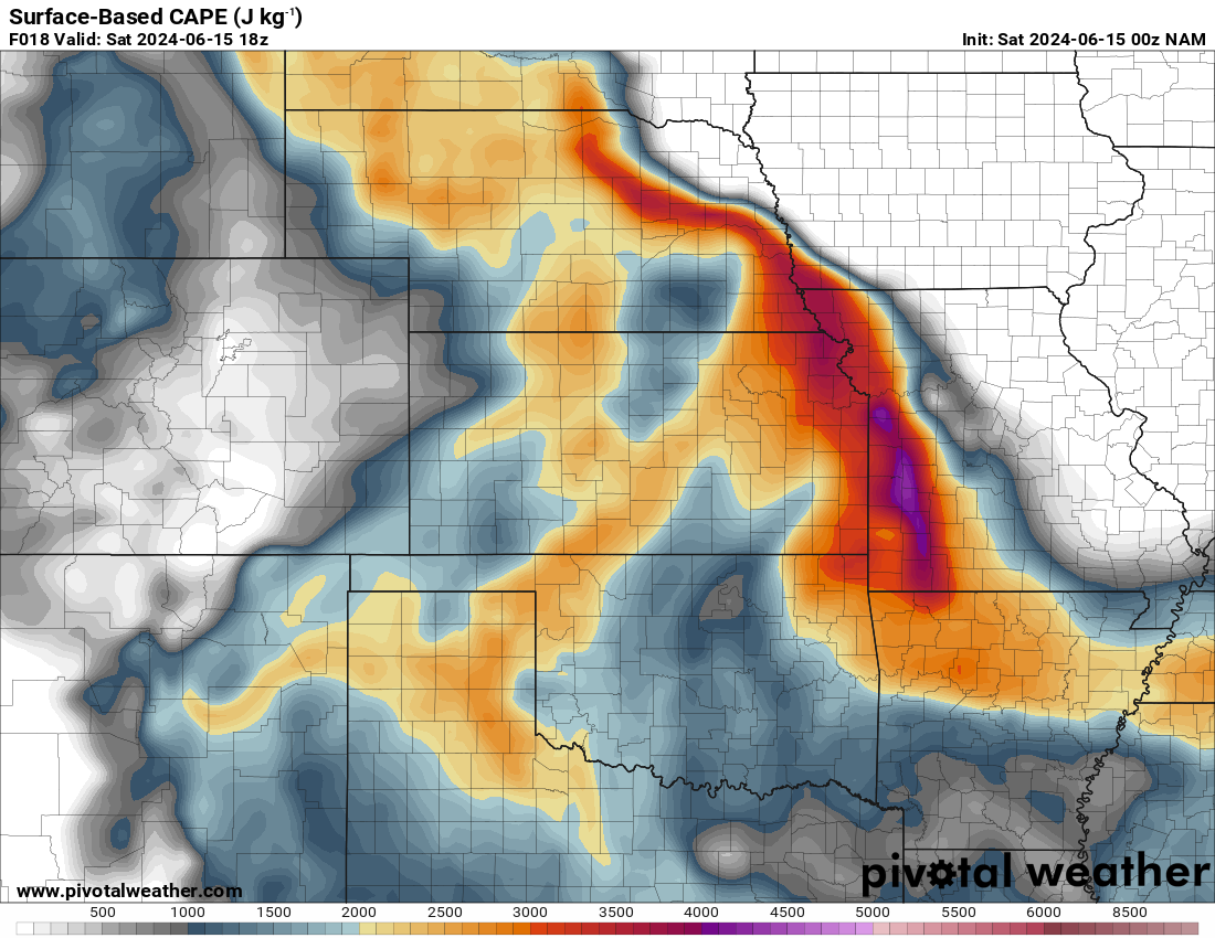
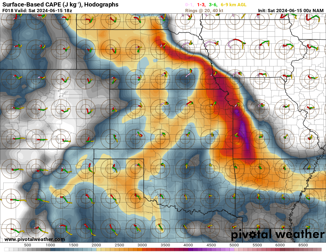
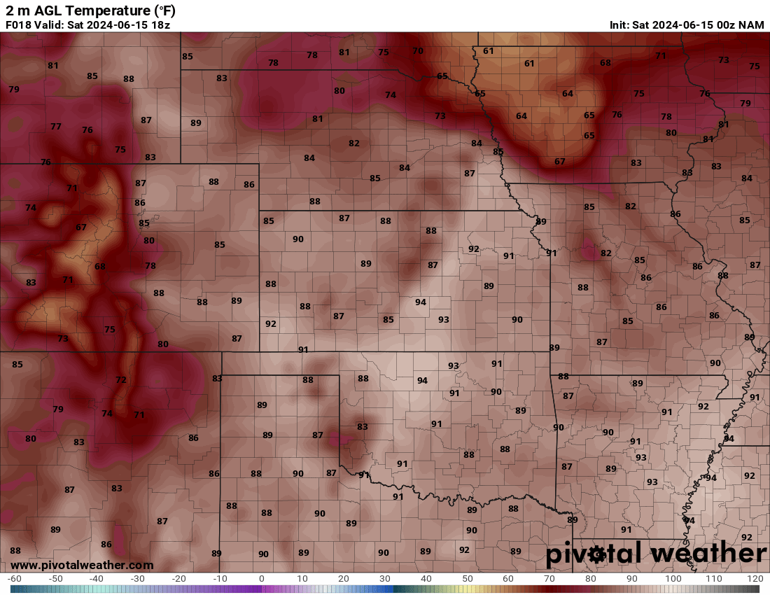
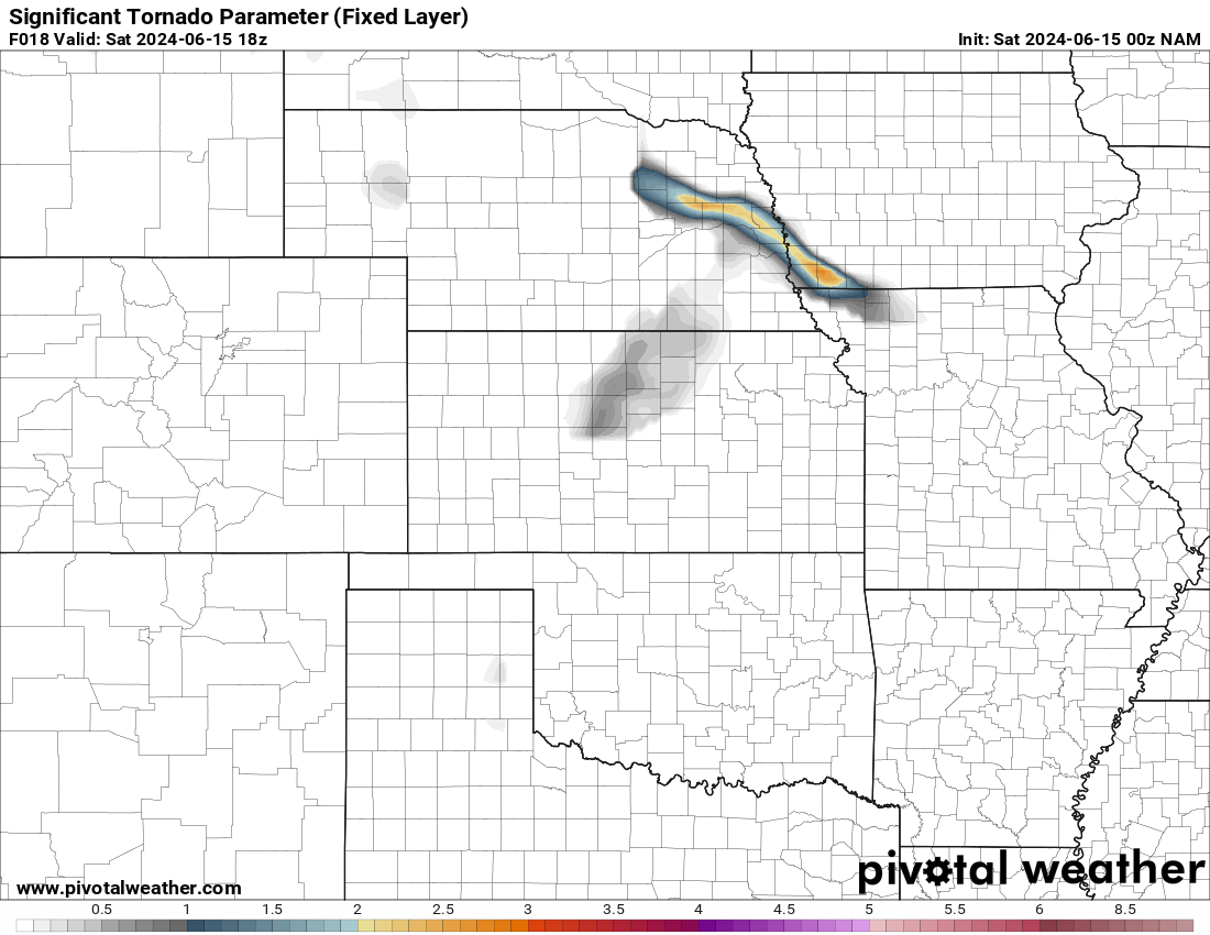
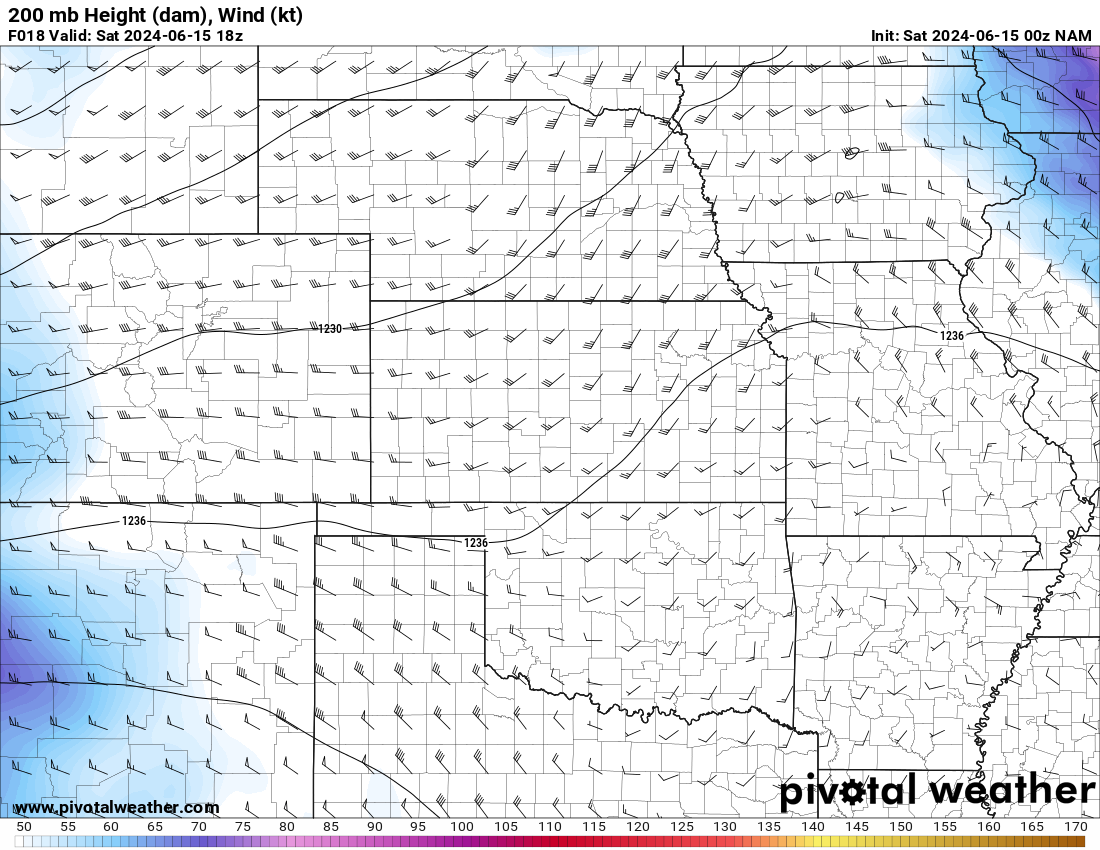
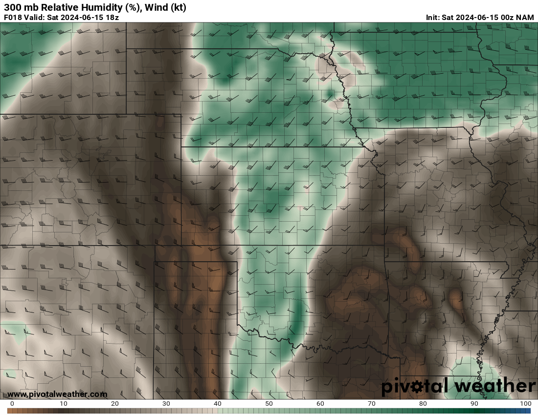
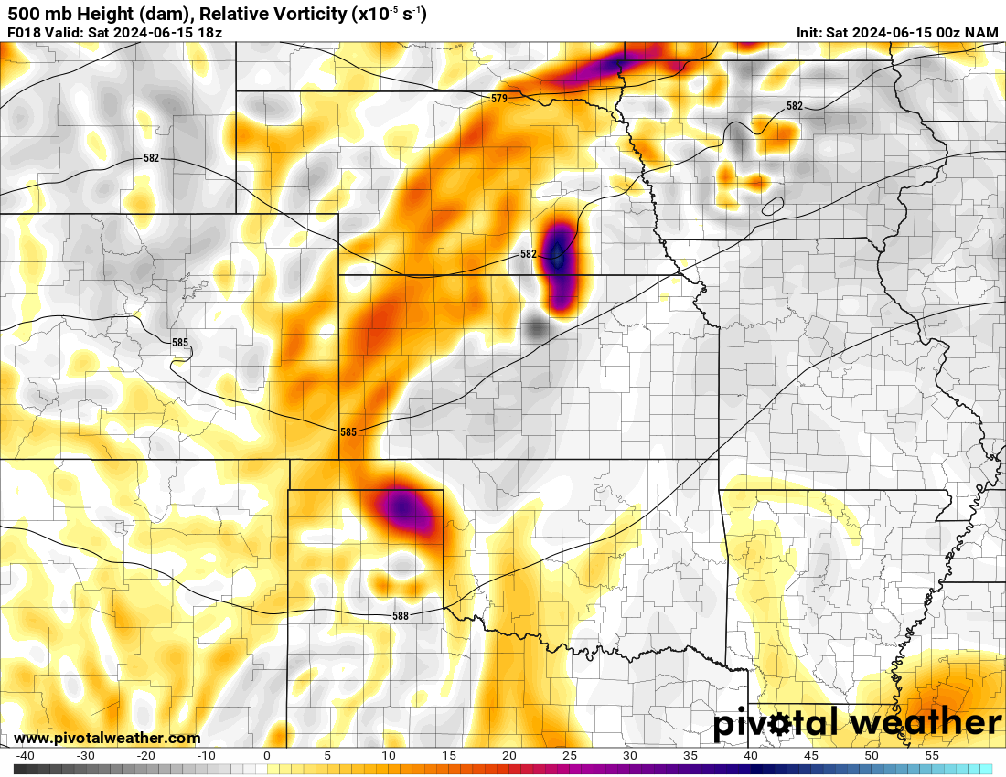
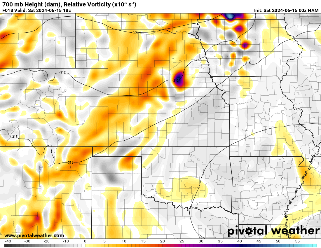
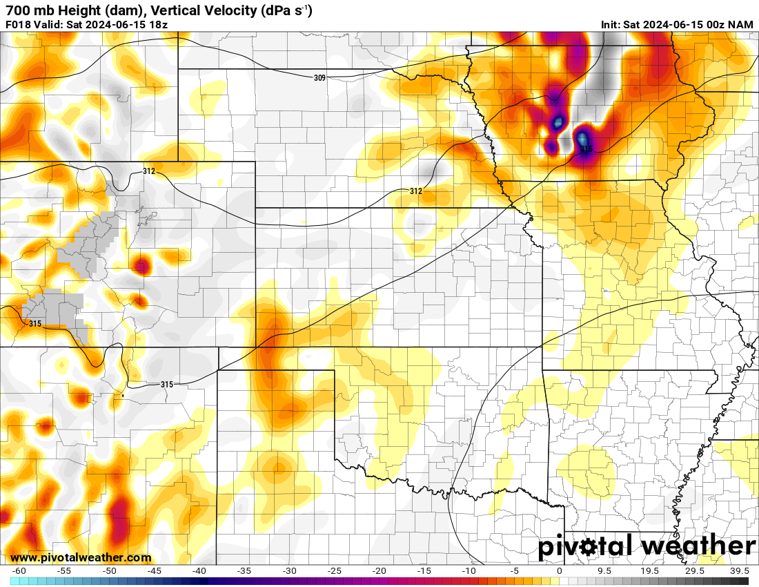
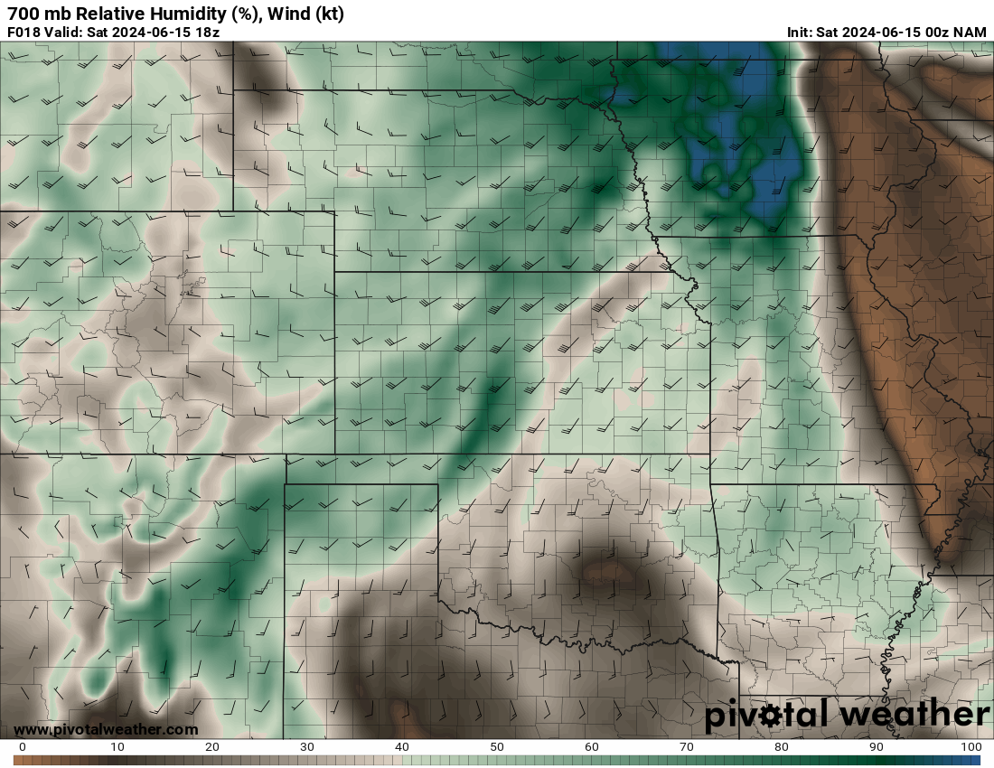
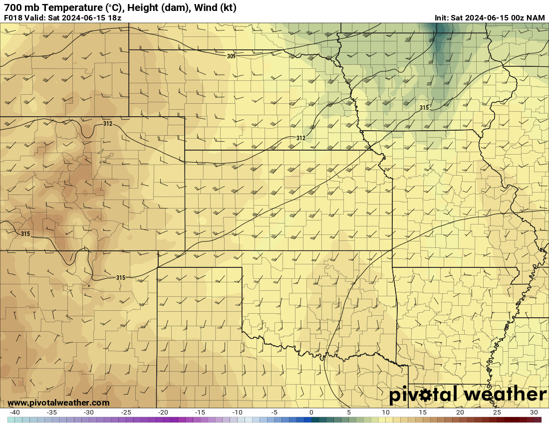
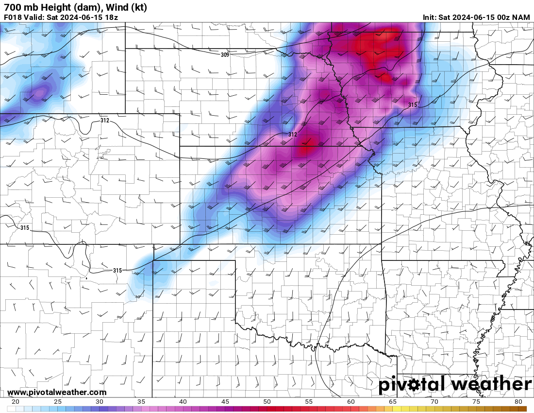
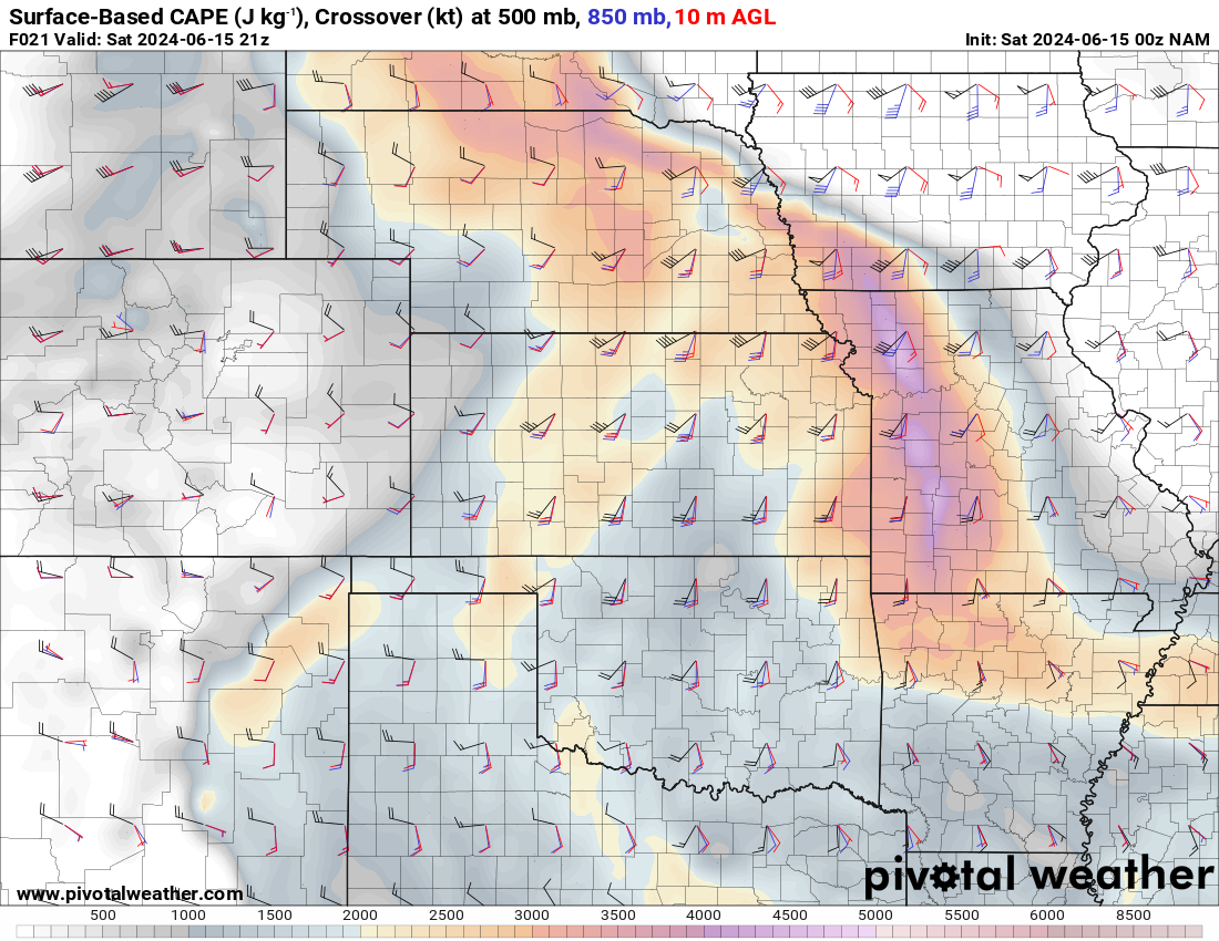
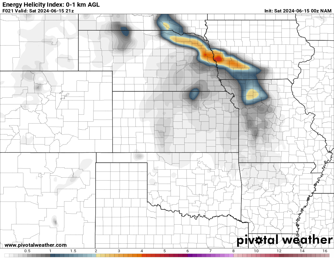
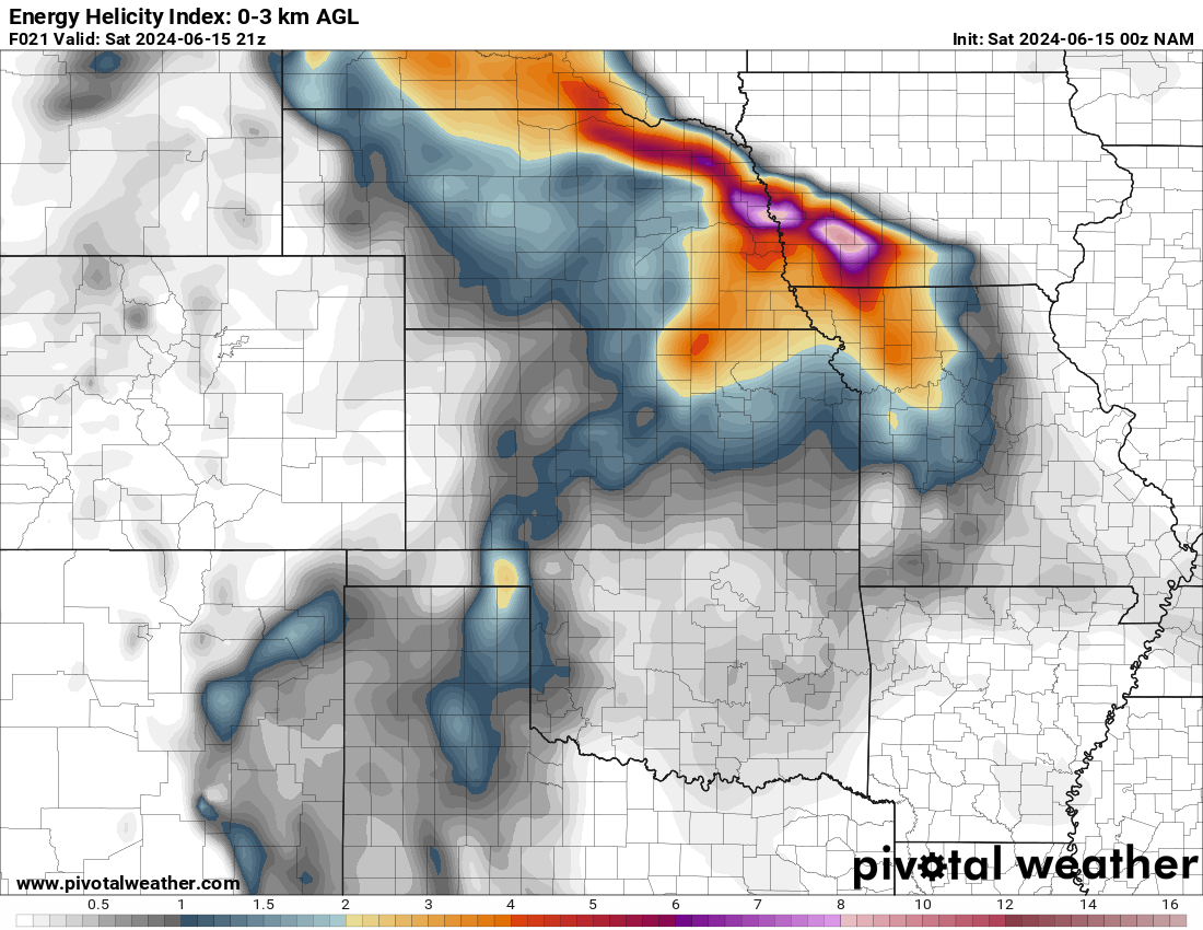
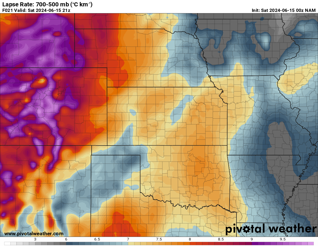
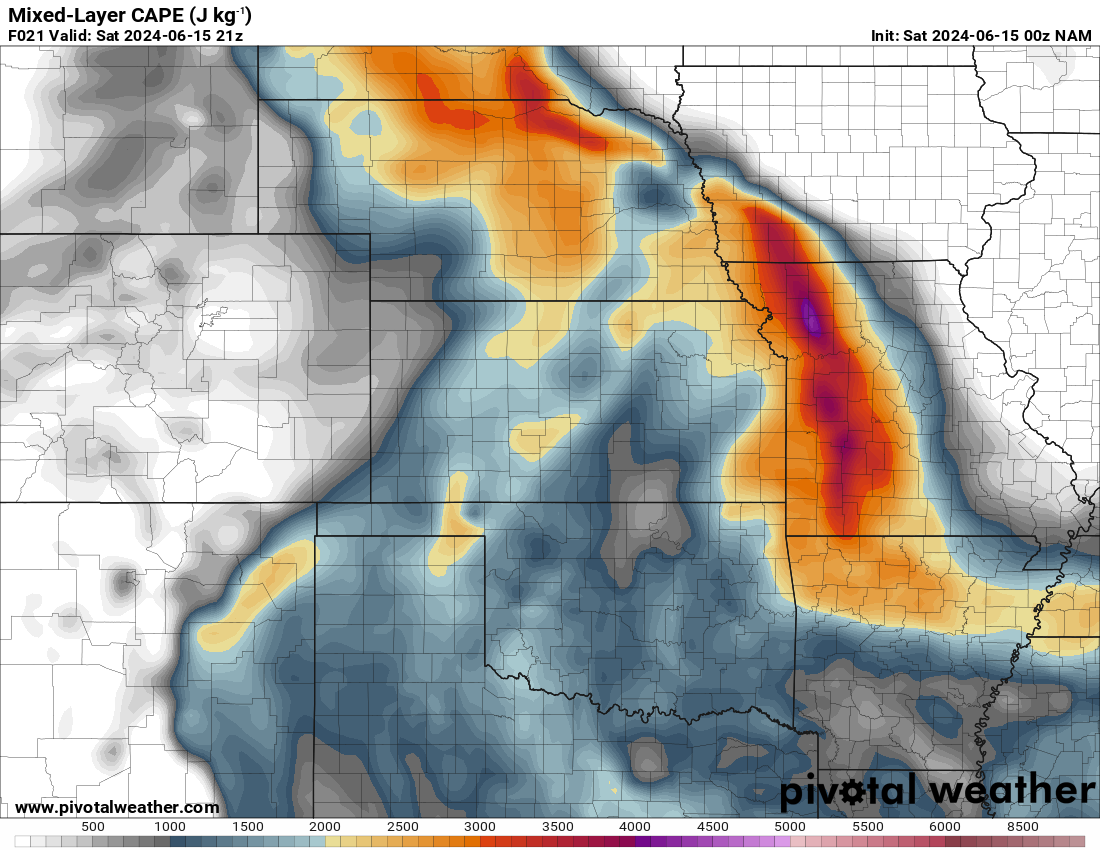
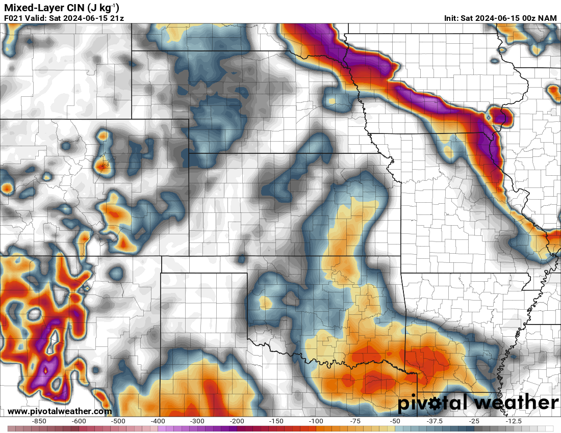
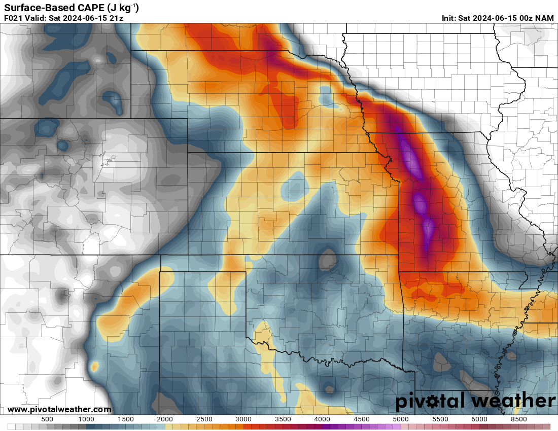
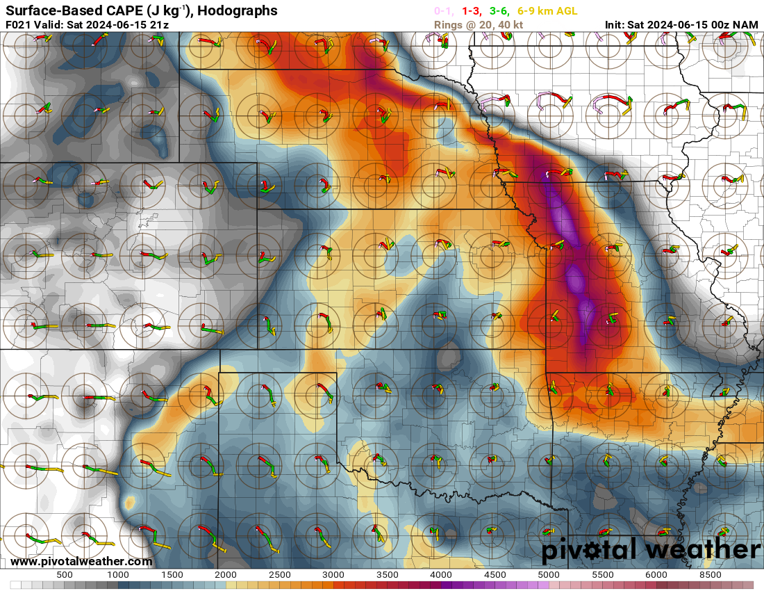
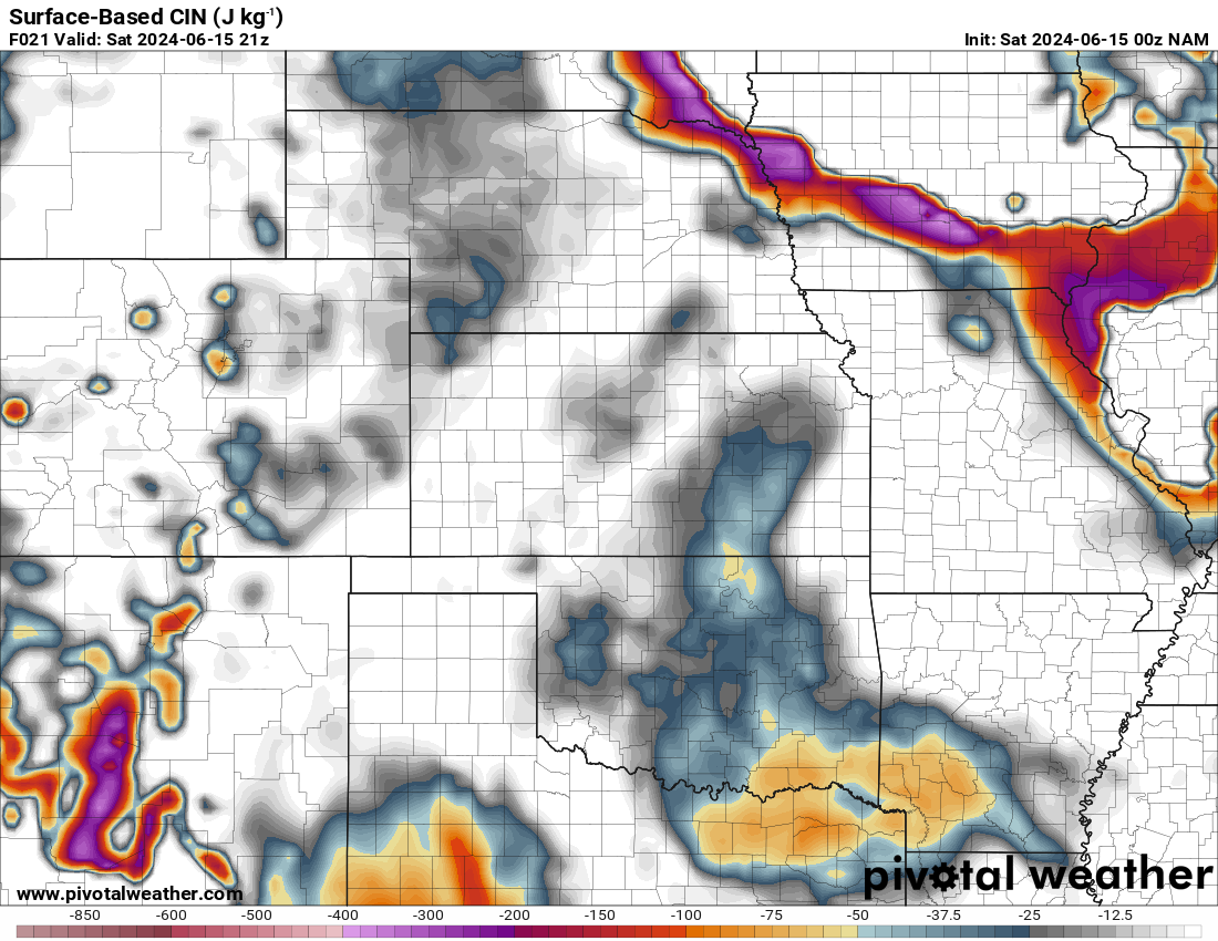
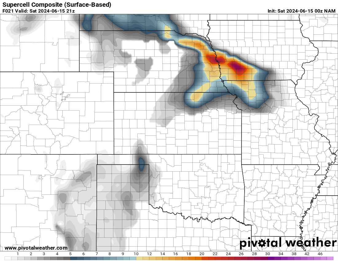
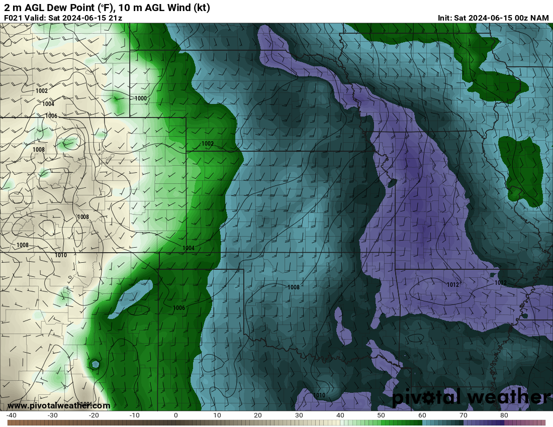
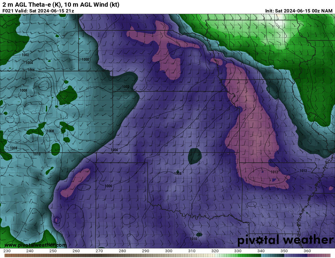
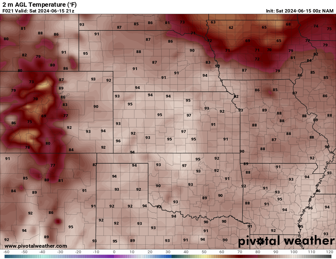
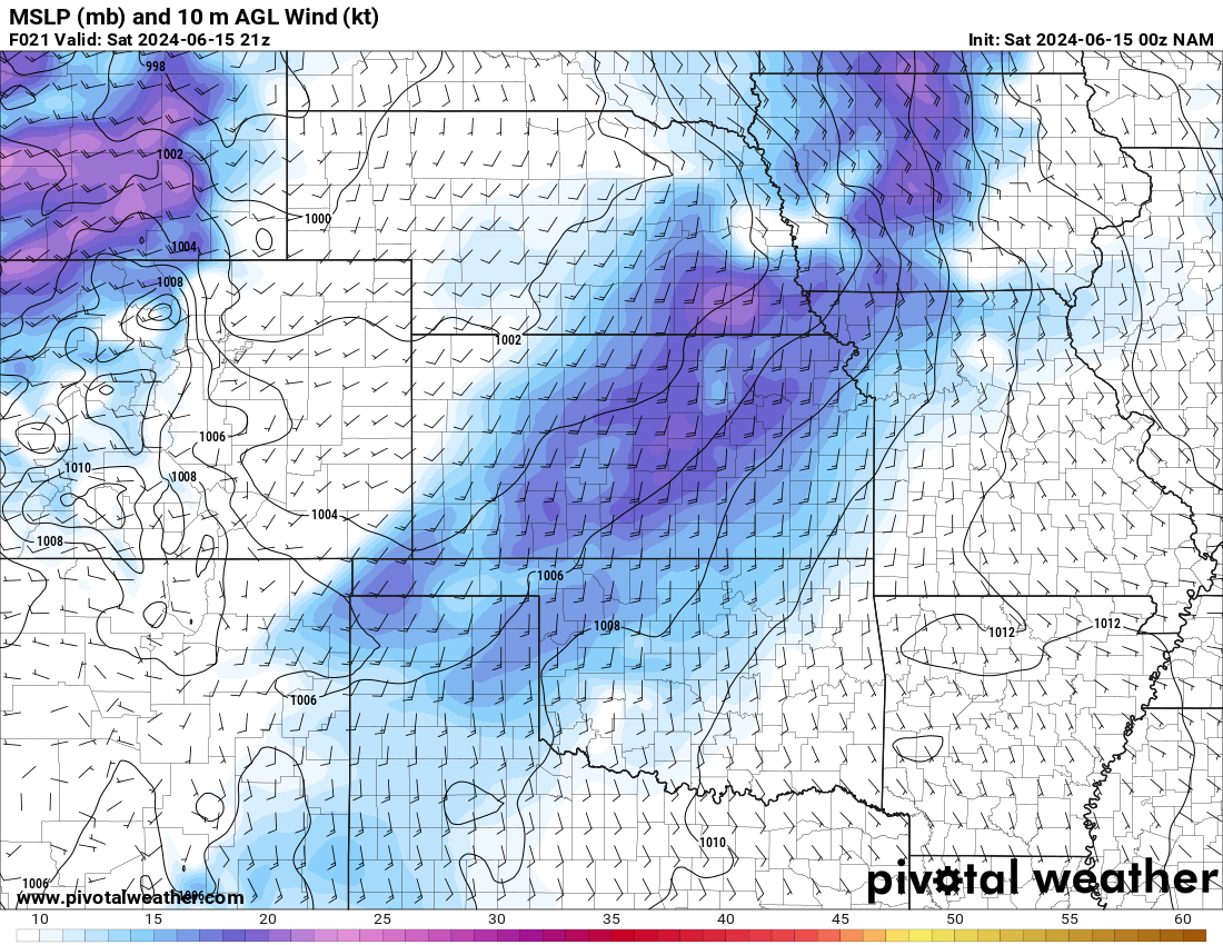
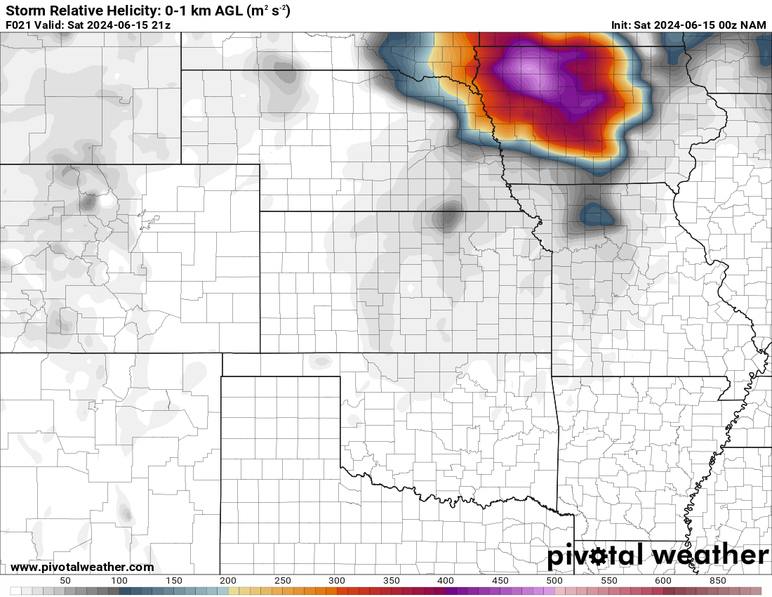
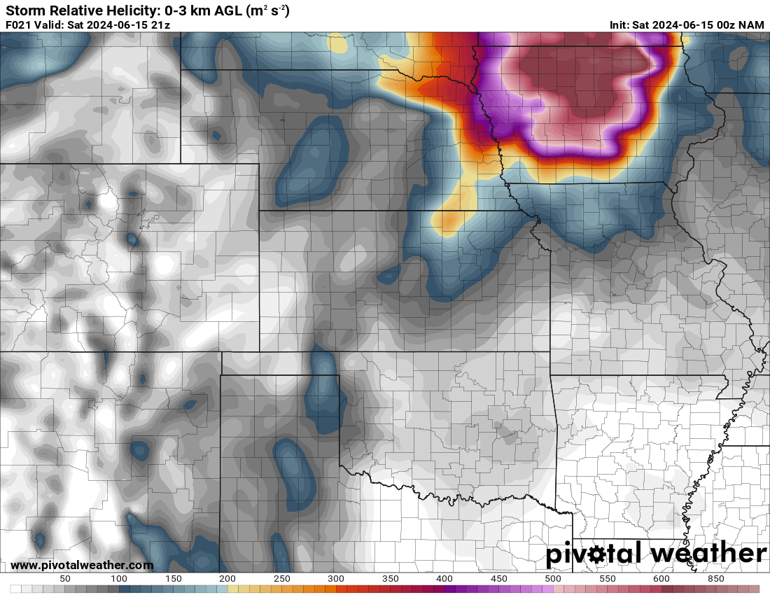
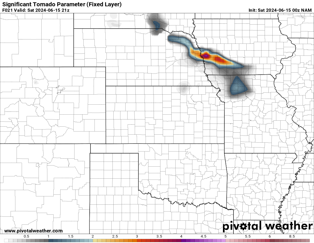
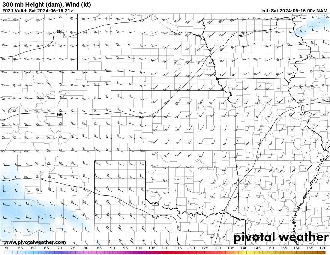
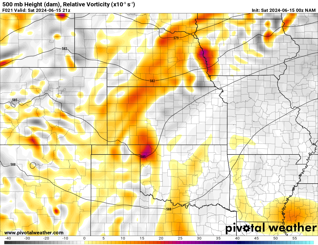
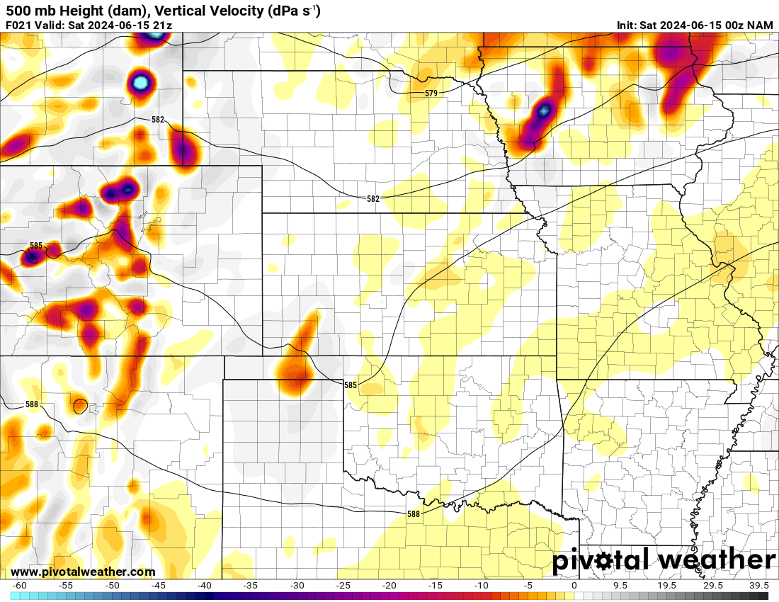
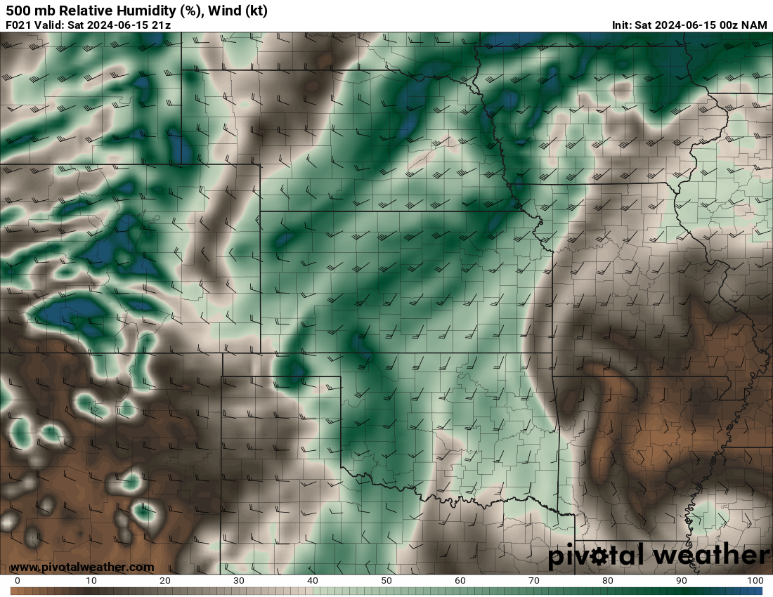
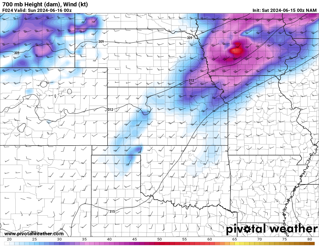
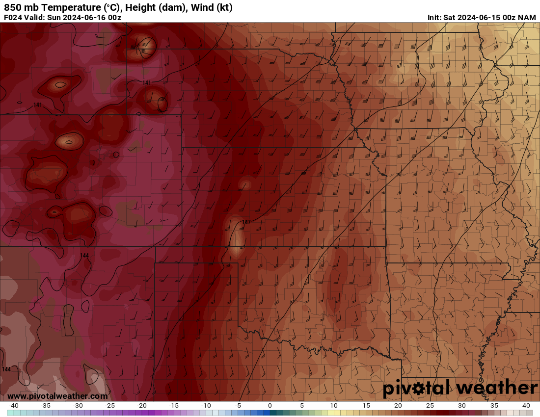
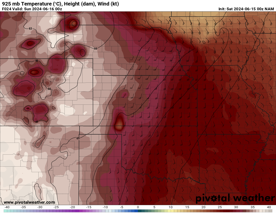
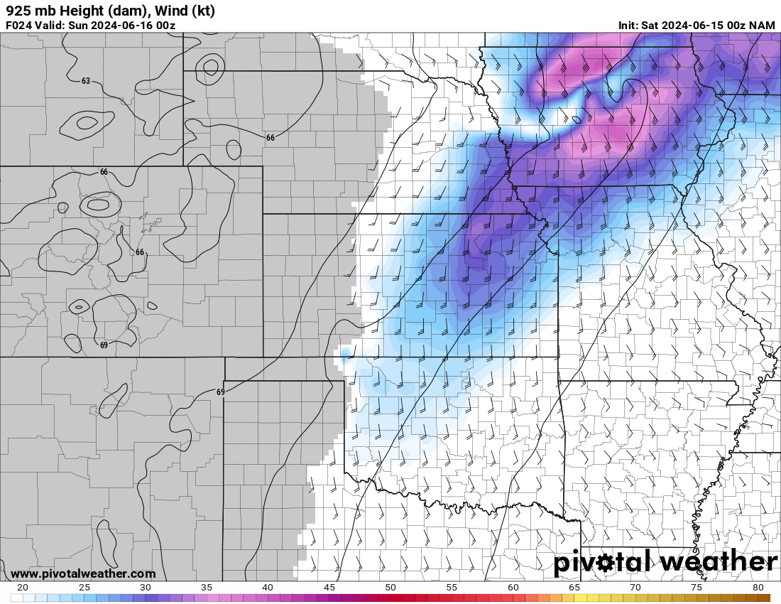
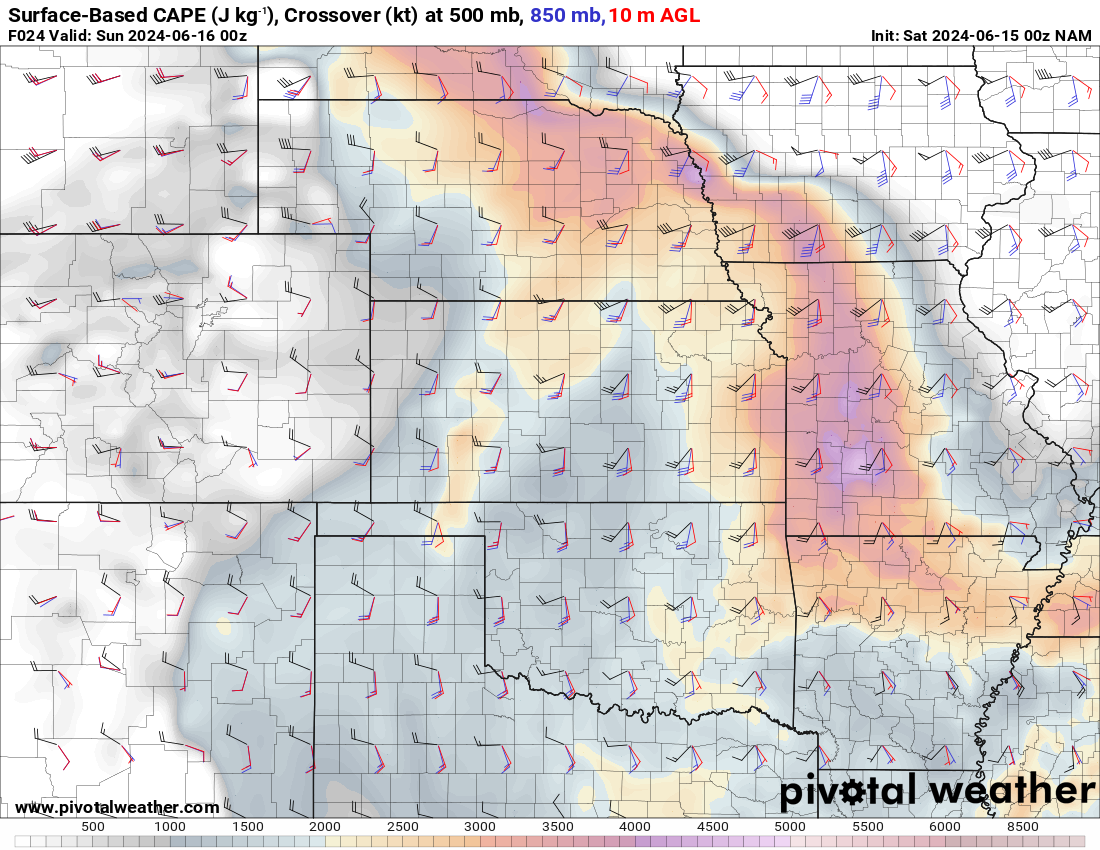
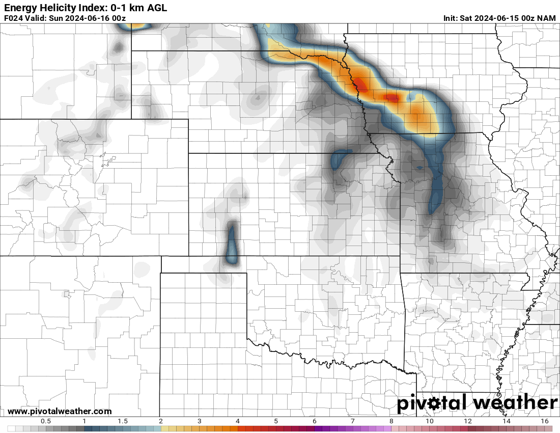
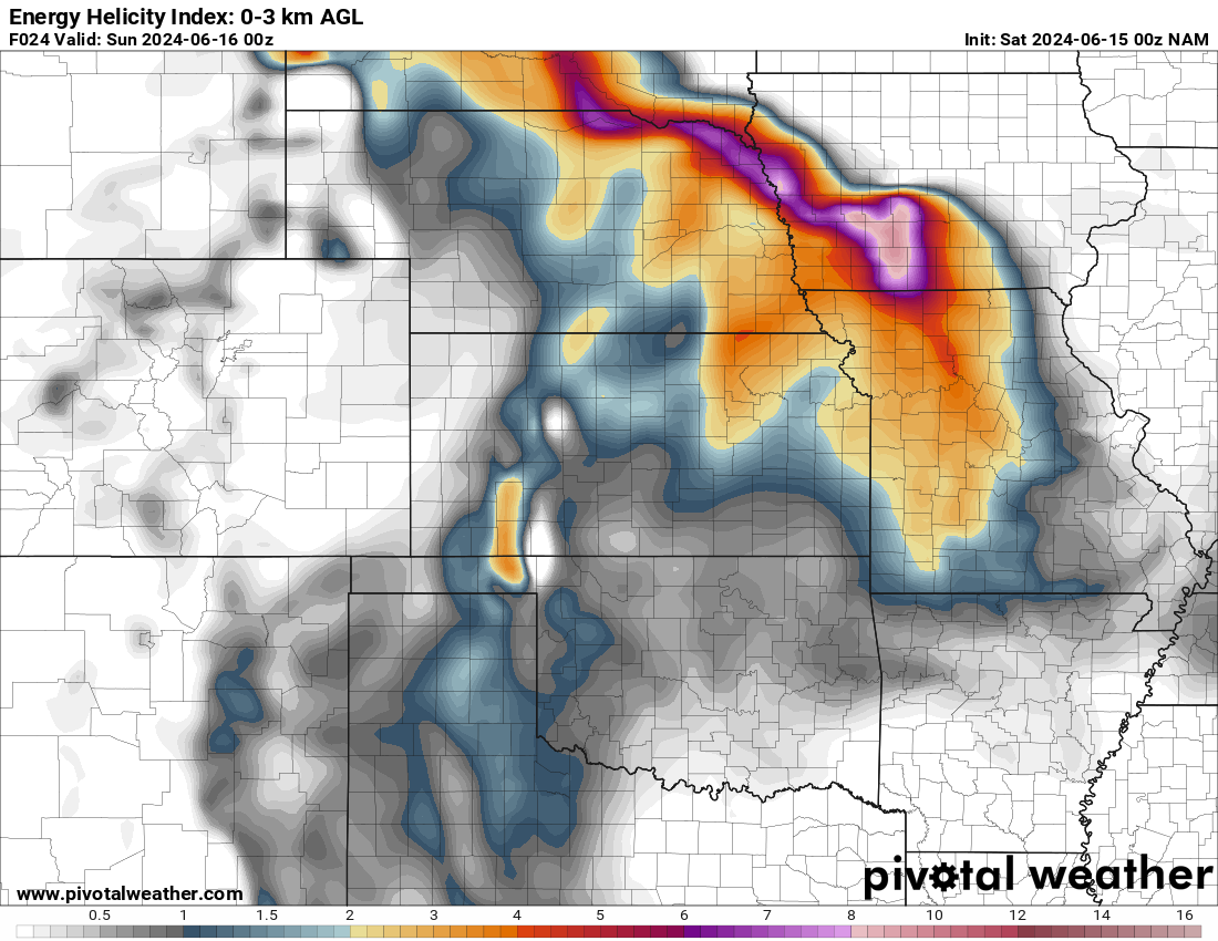
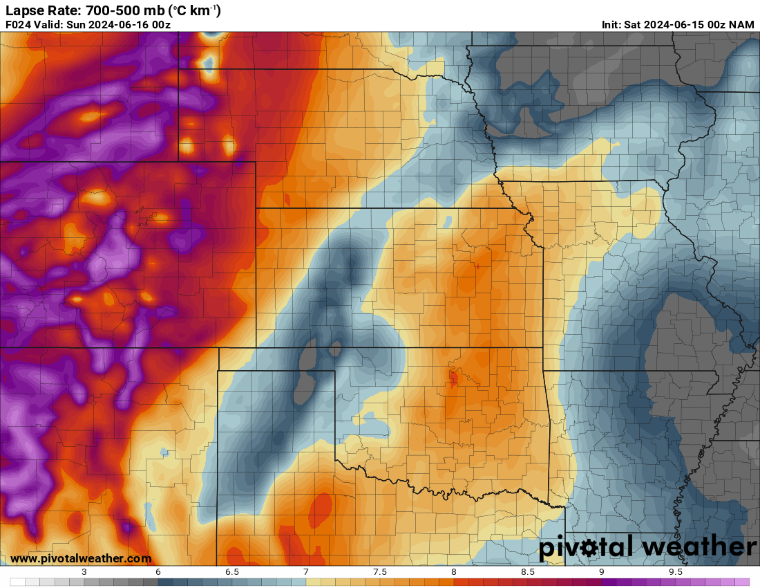
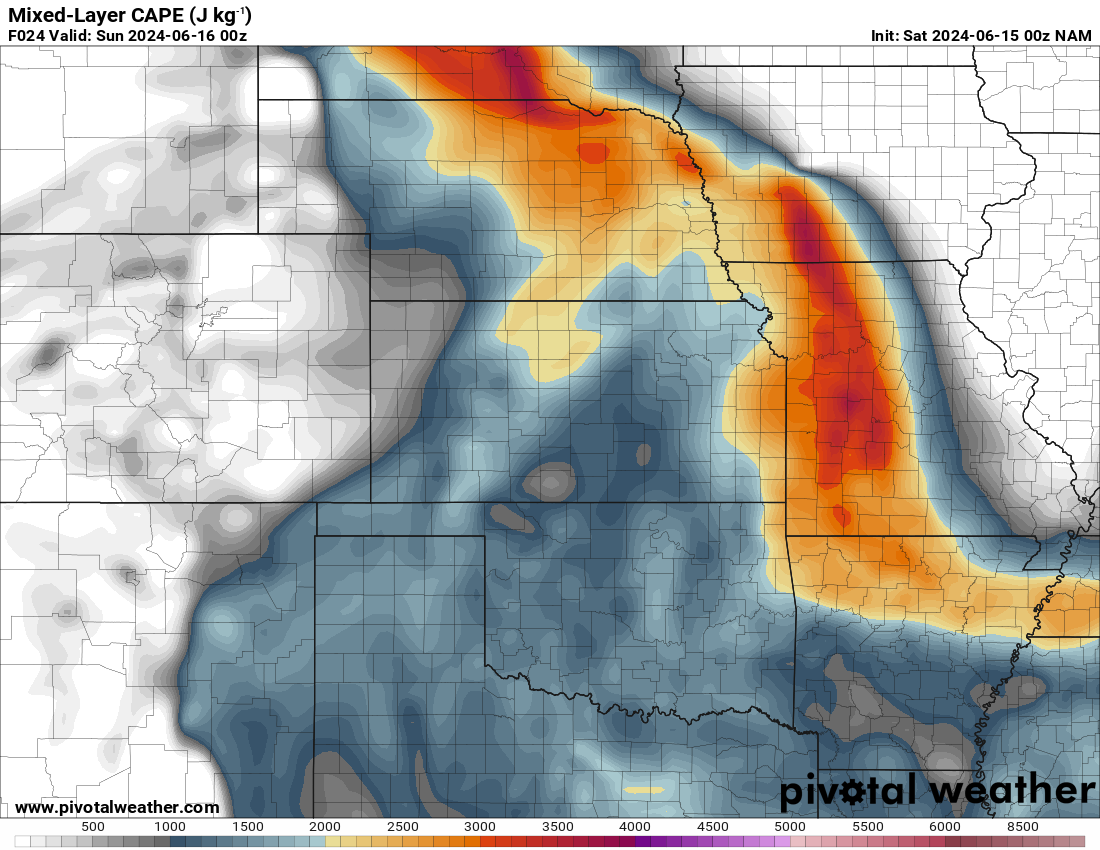
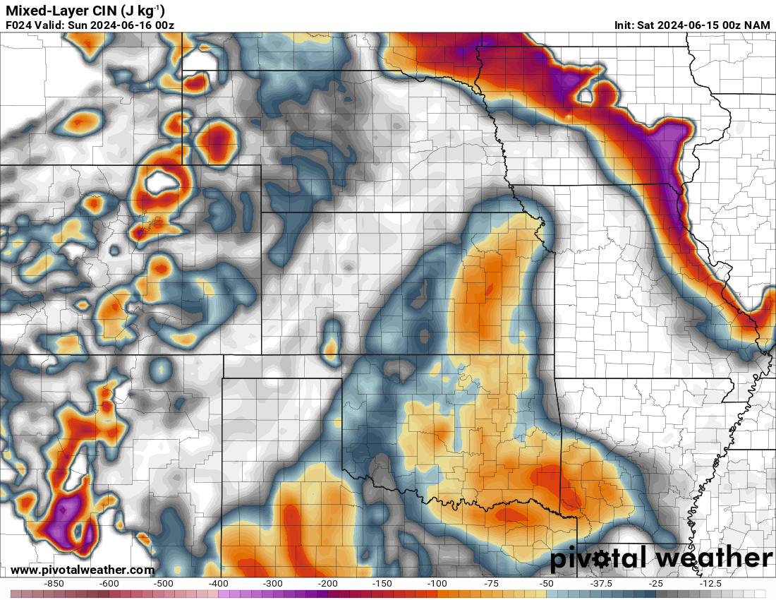
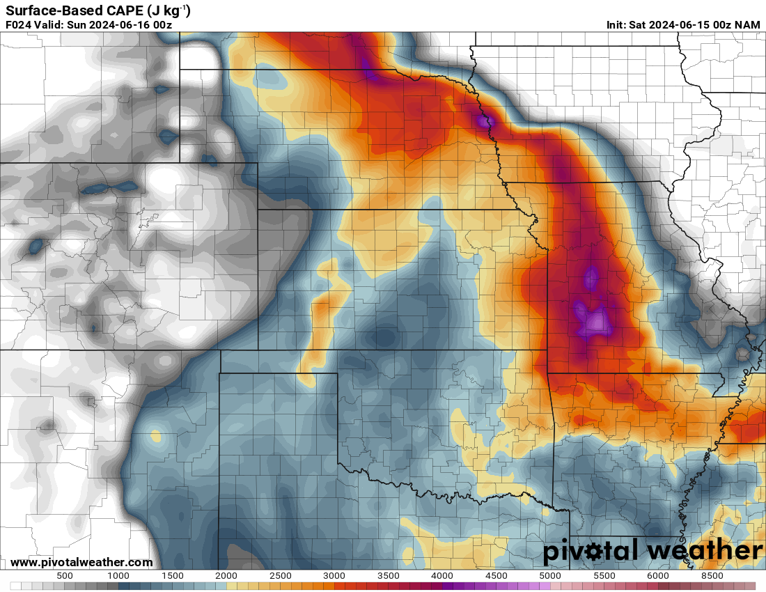
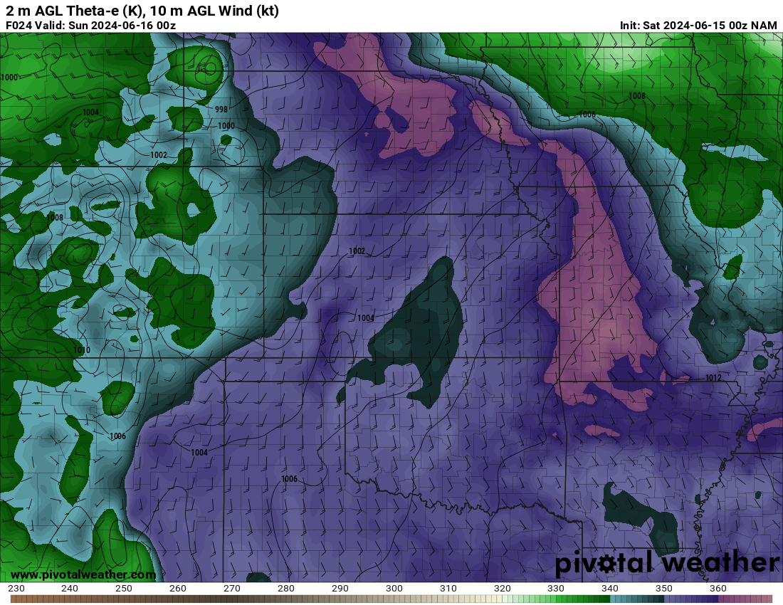
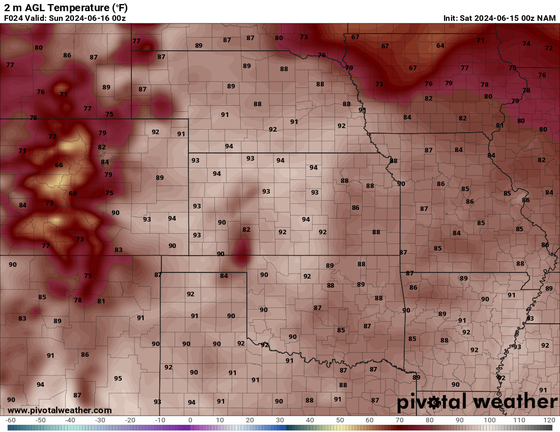
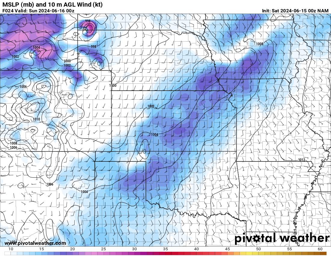
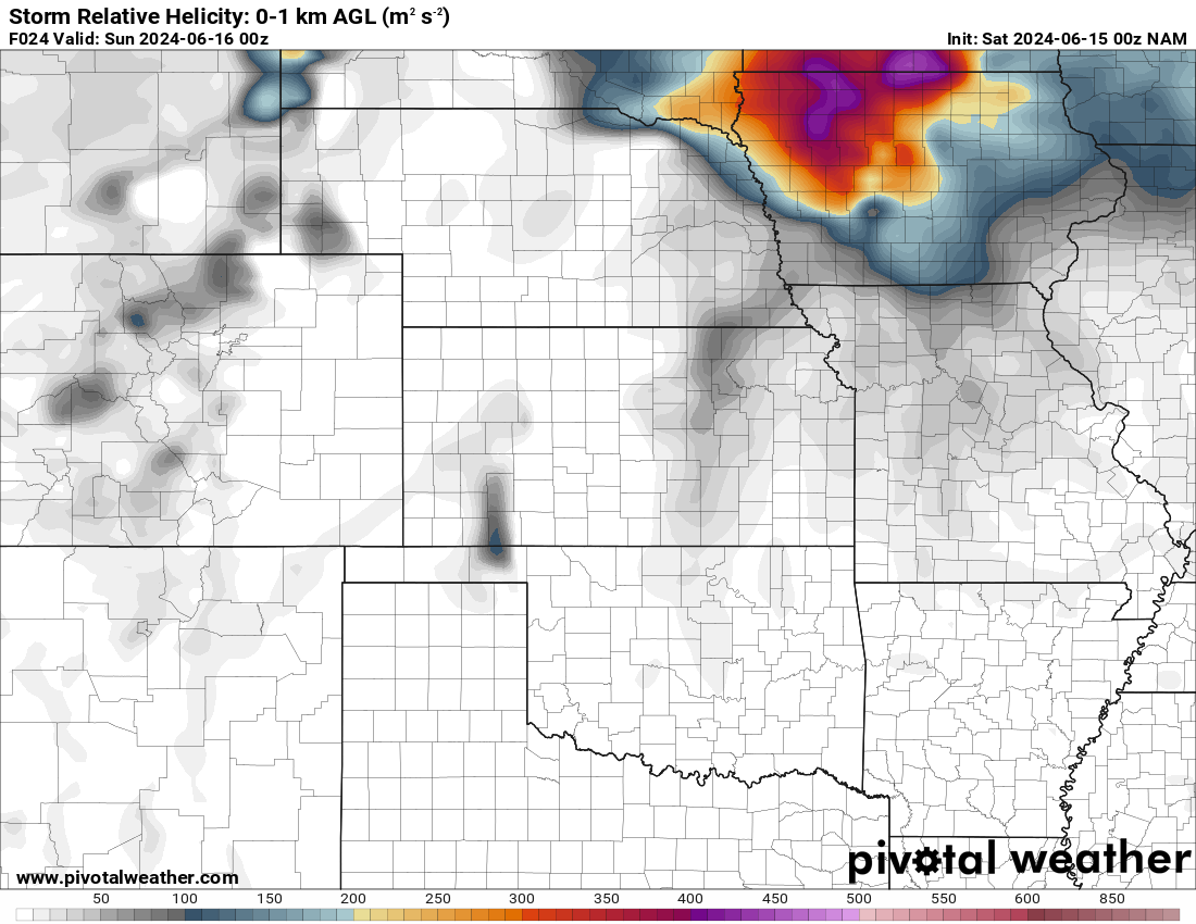
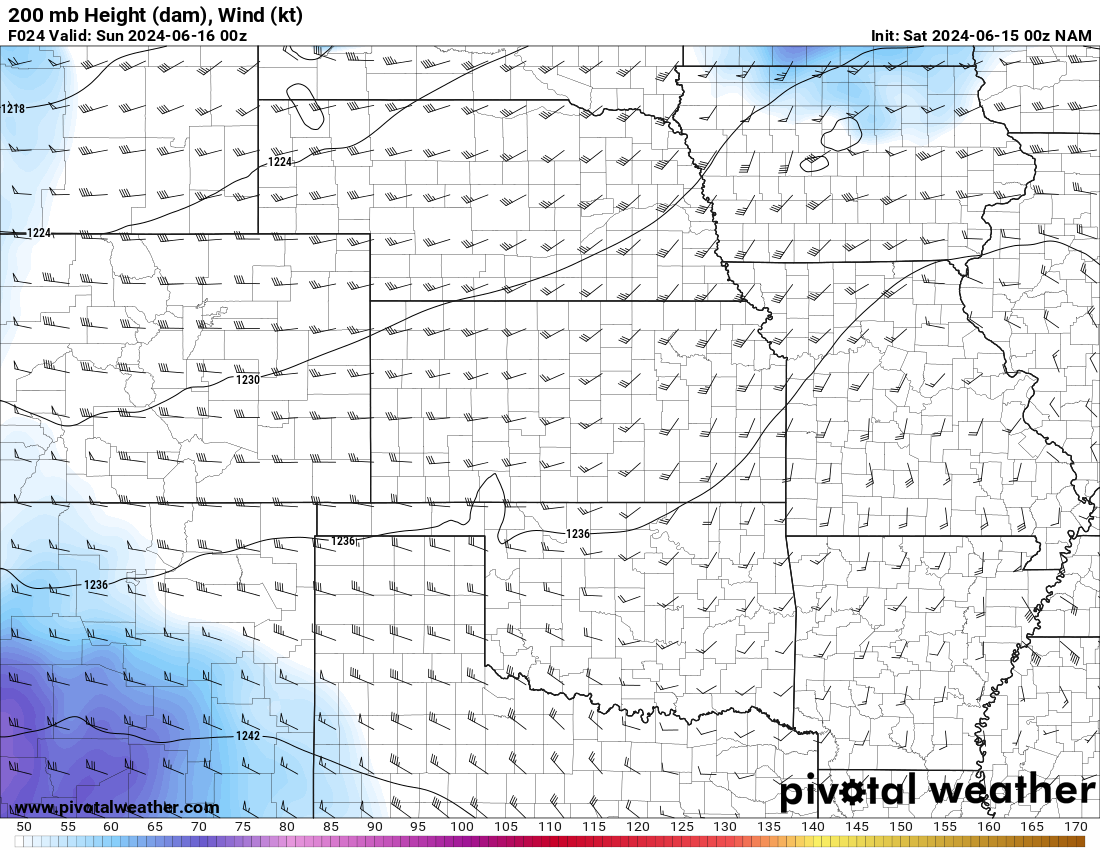
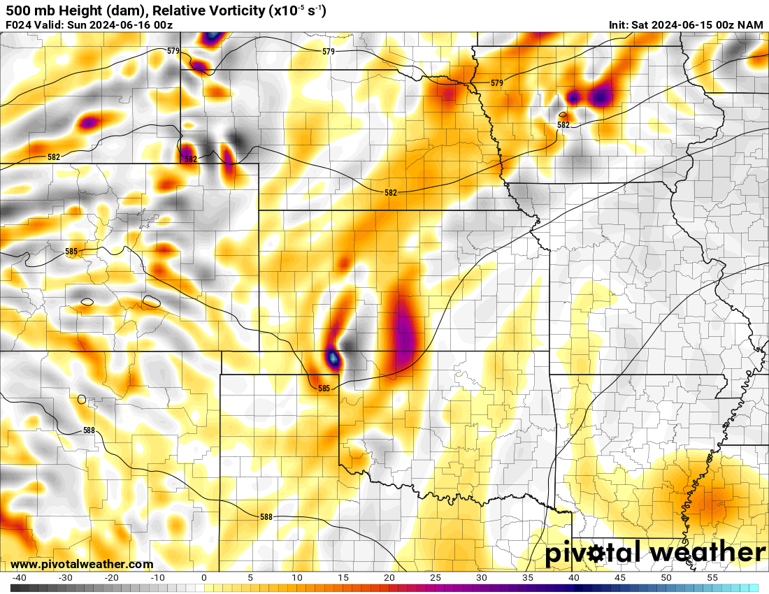
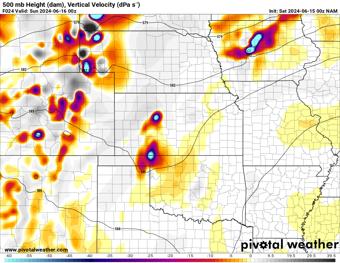
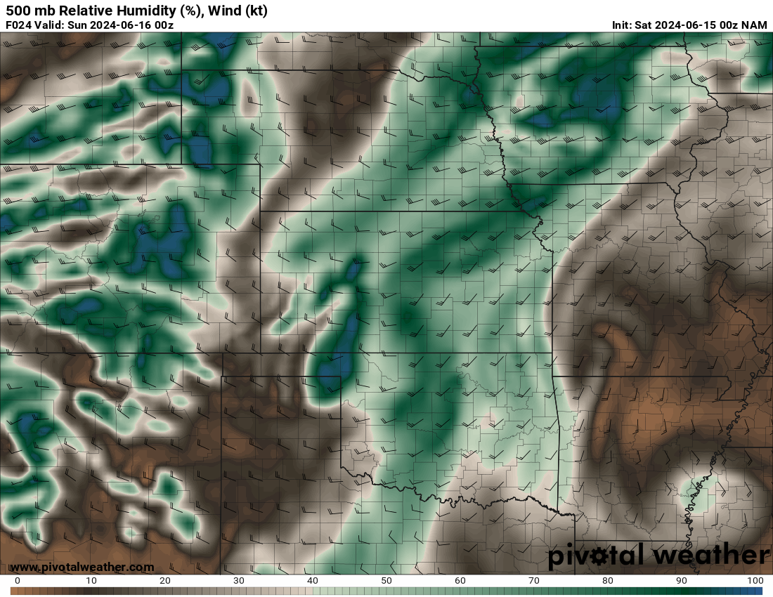
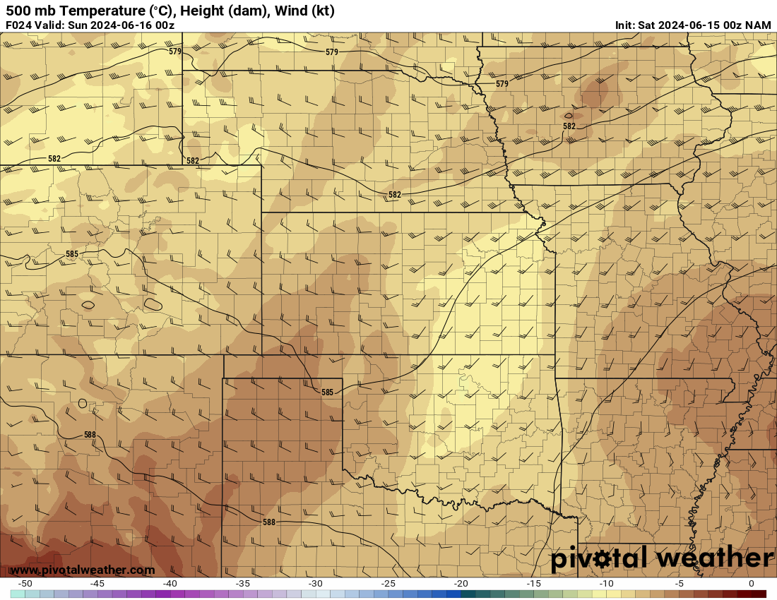
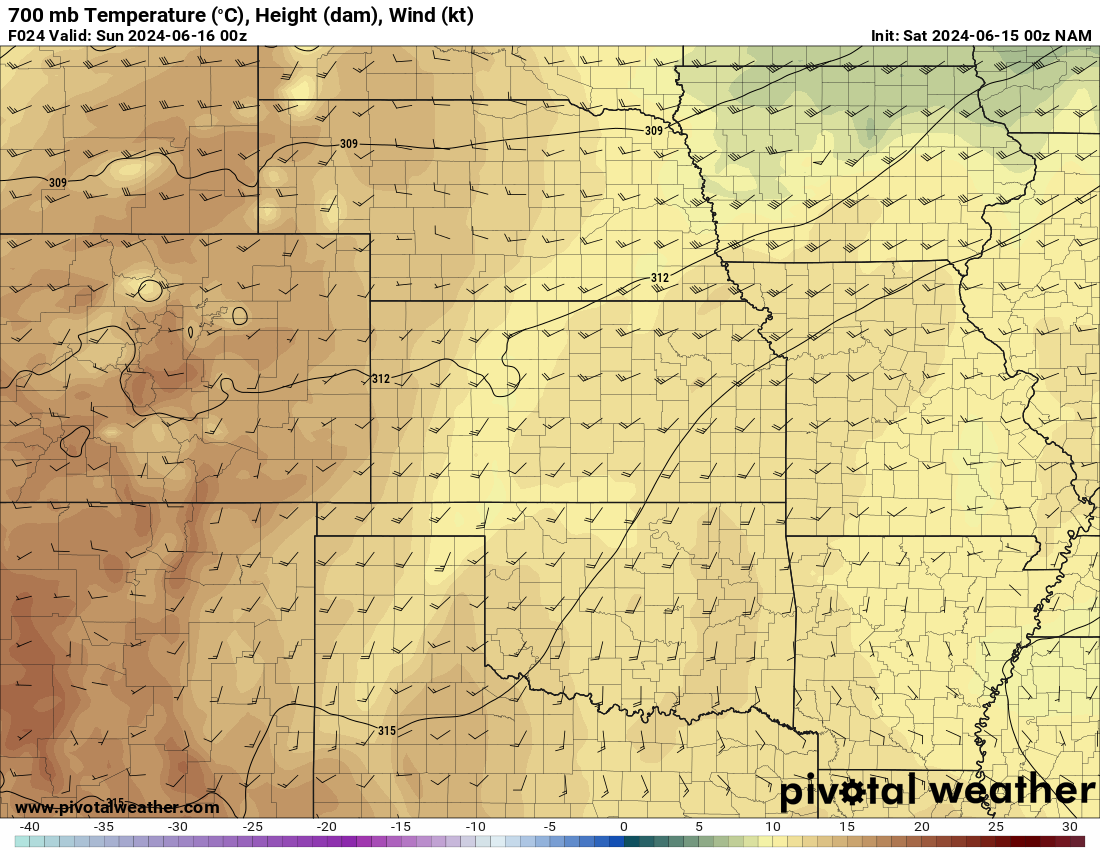
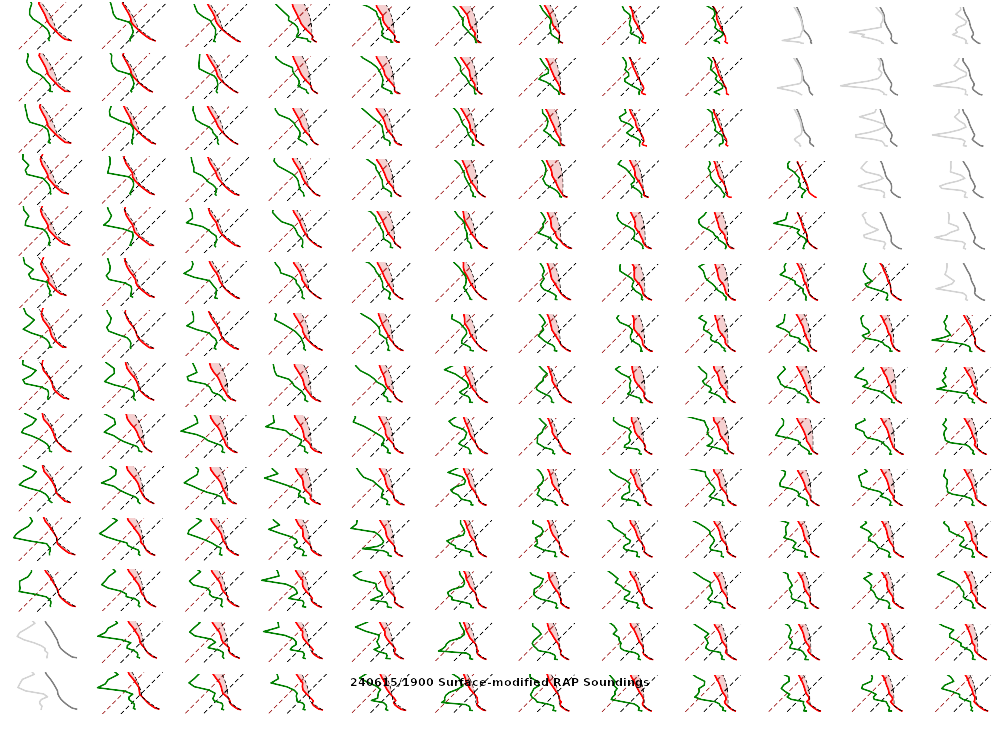
00Z NAM June 15, 2024


Departure
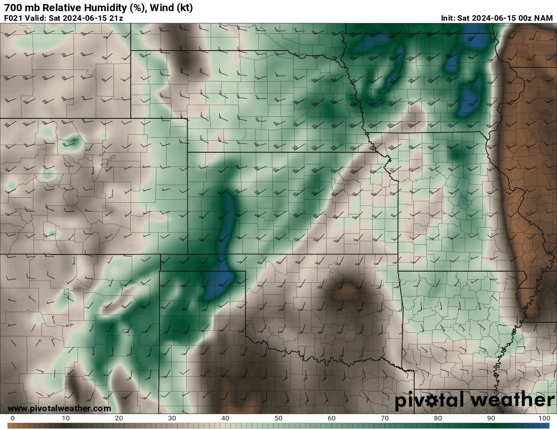
8am came early and I spent the next hour getting ready and departing by 9. I was north of Wichita by 11:30 and continued uneventfully up to southern Nebraska. I had to stop in Hebron for fuel, and continued northward. There was some cumulus just to my southwest that was very agitated and growing. The plan was to get to York and make a call.
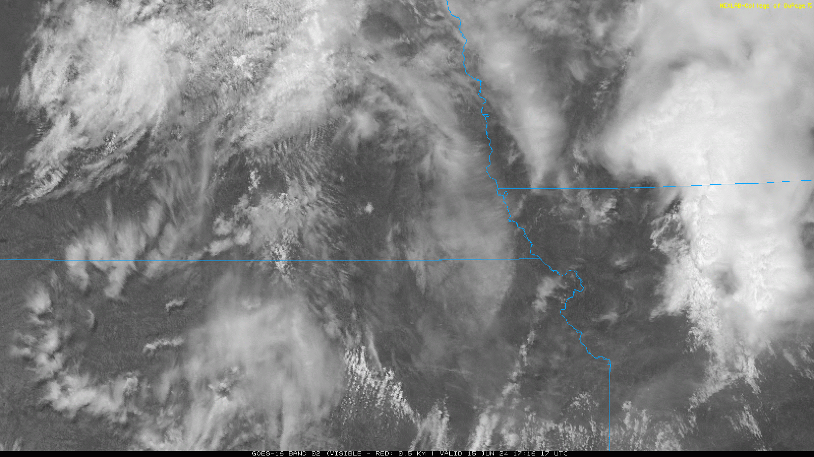
As I continued north, I kept watching the bubbling cumulus to my south. I stopped near Strang, Nebraska about 20 miles north of Hebron. Visible Satellite was showing a very concentrated area blowing up just south of me in Kansas

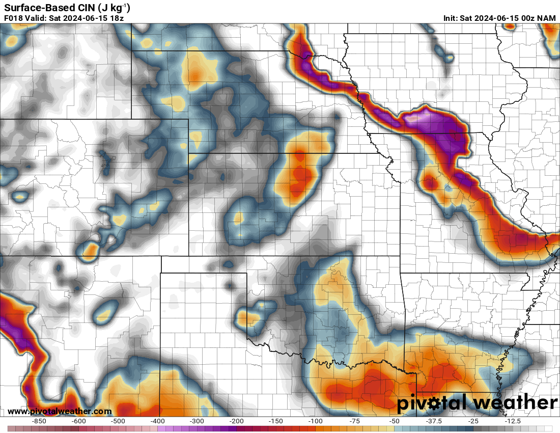
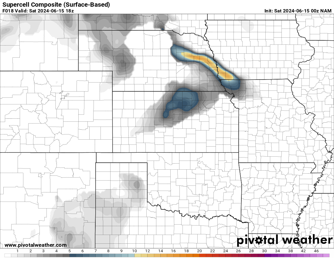
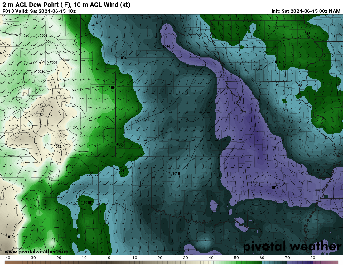
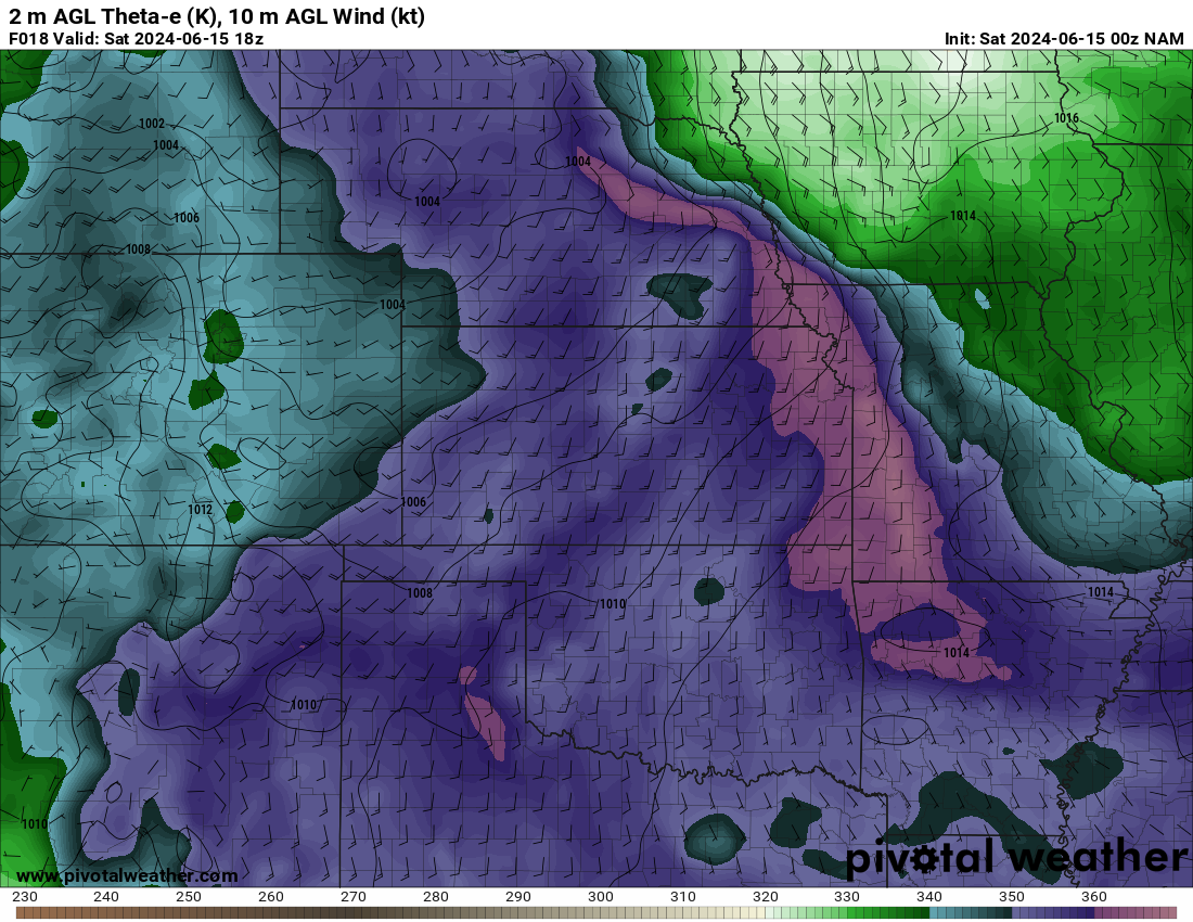
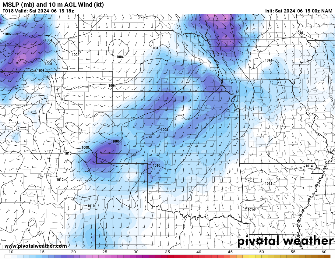
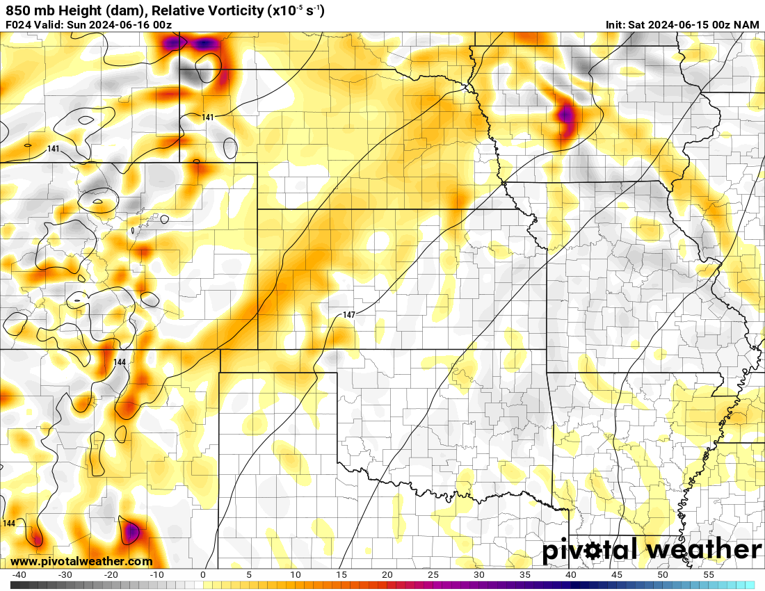
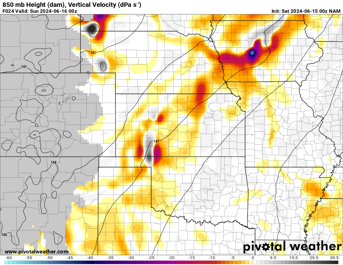
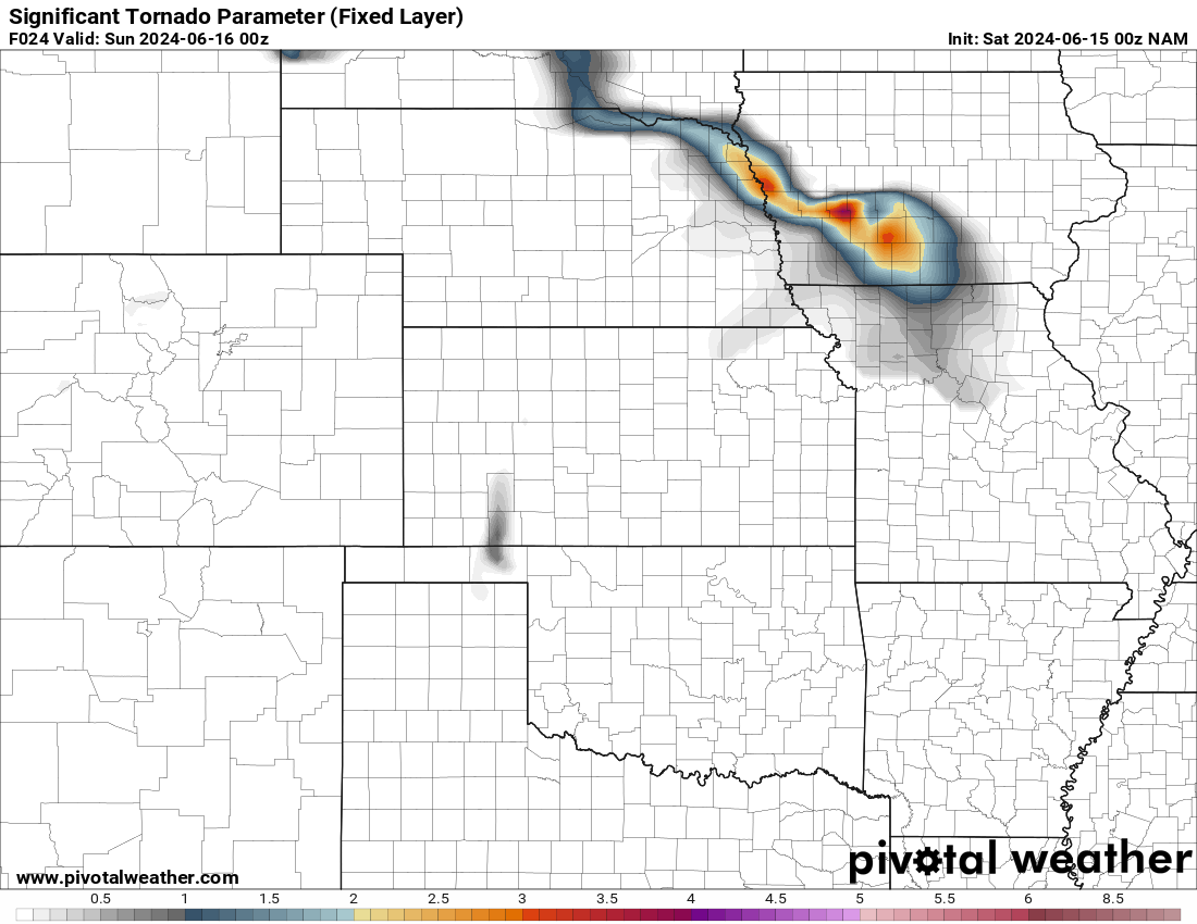
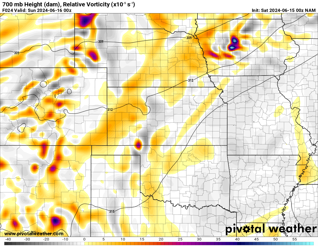
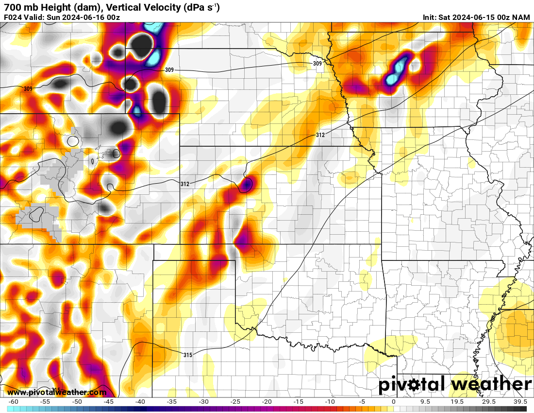
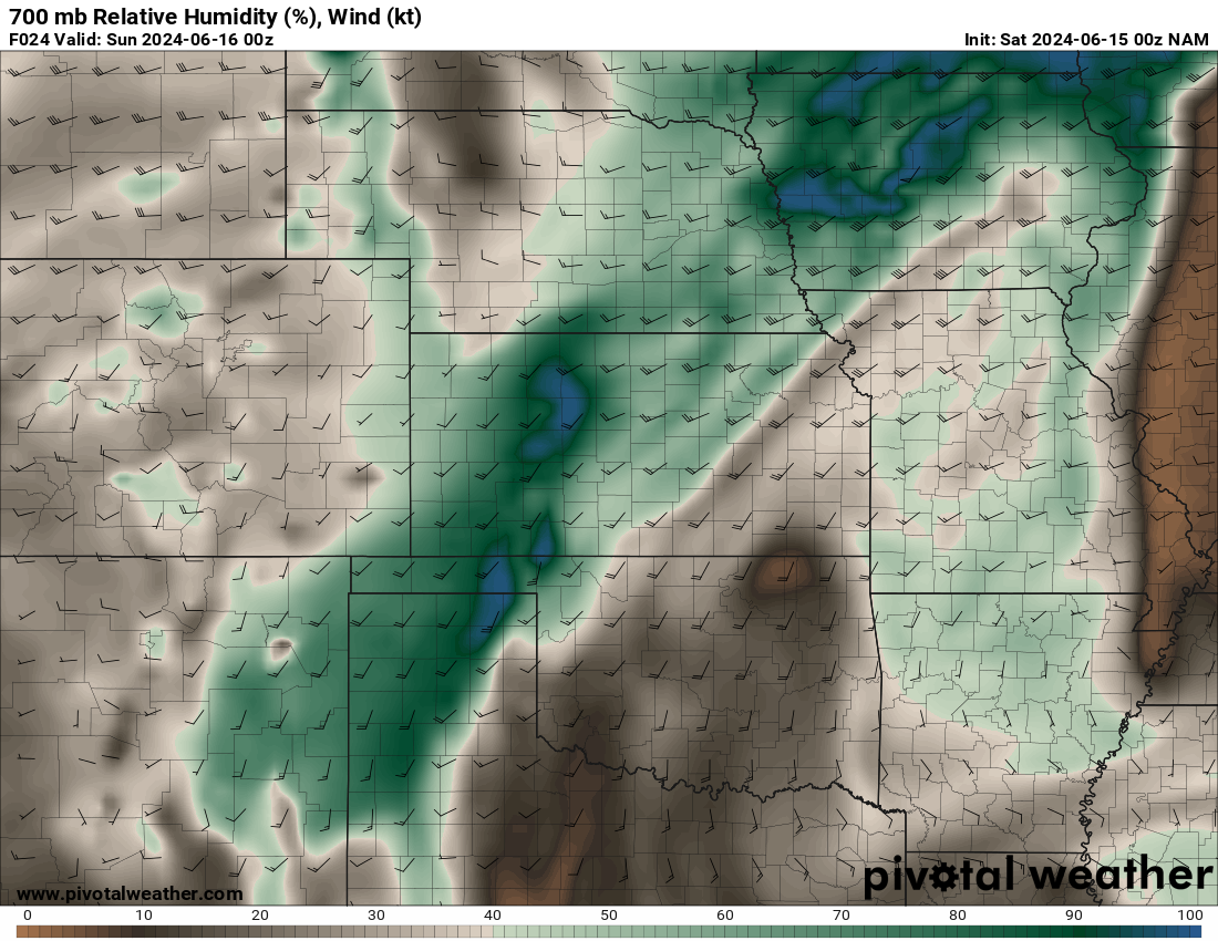
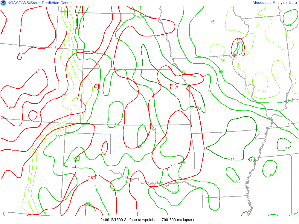
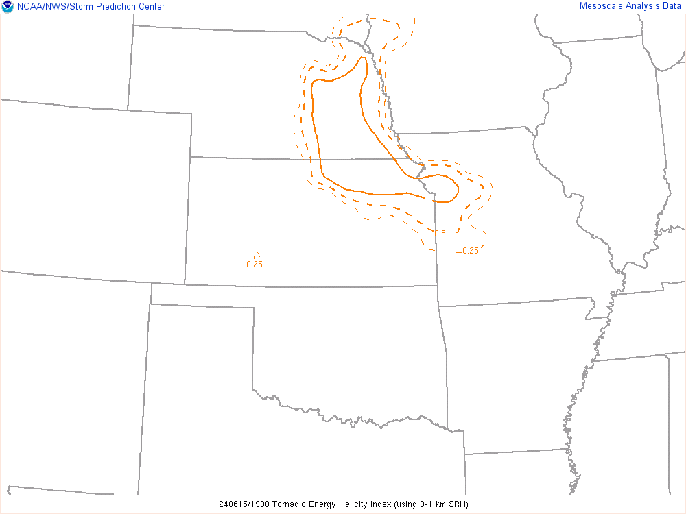
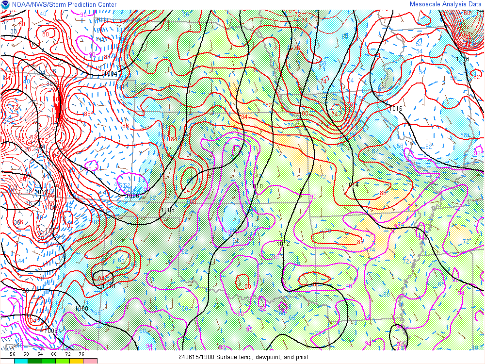
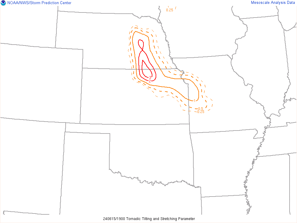
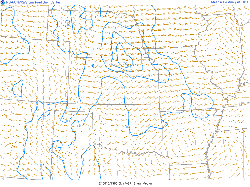
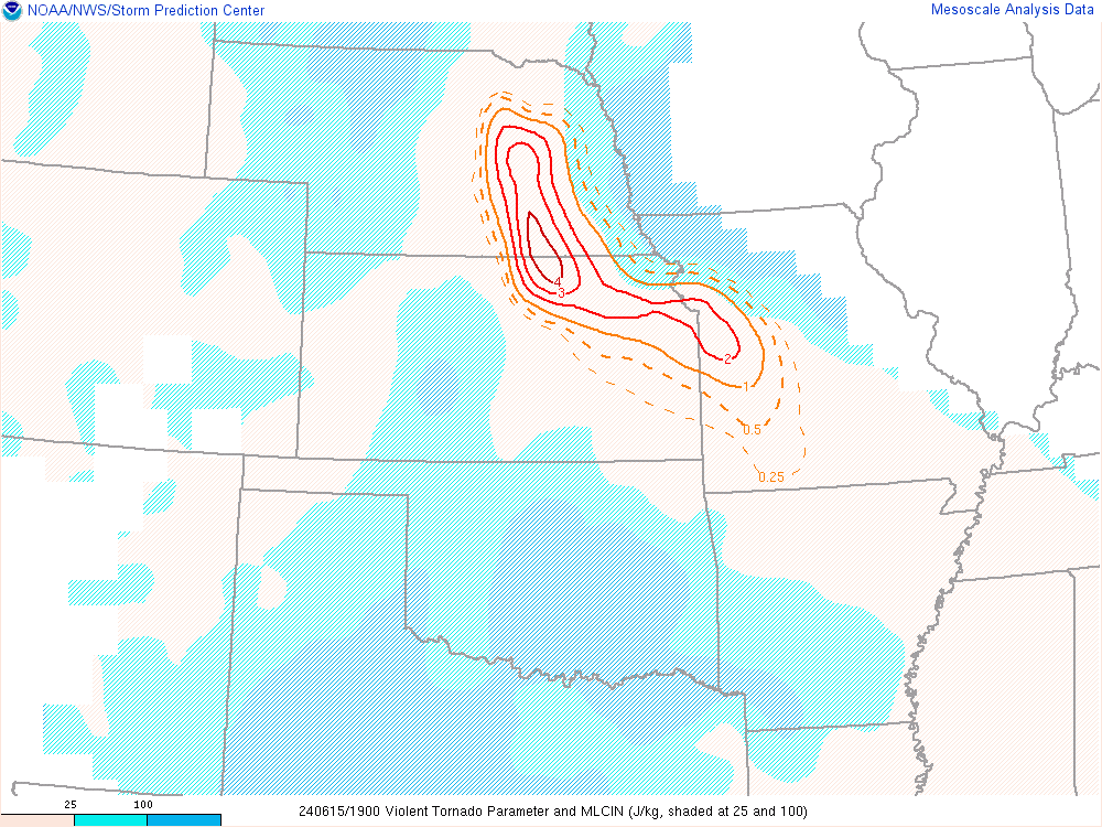
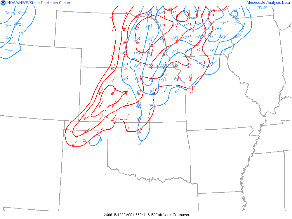
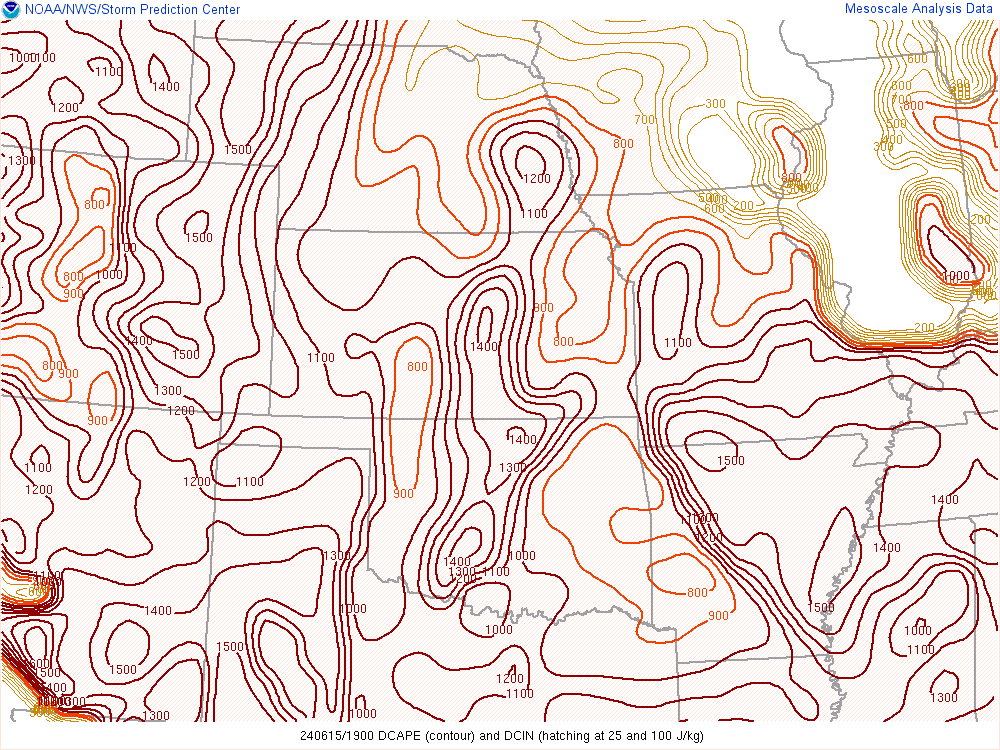
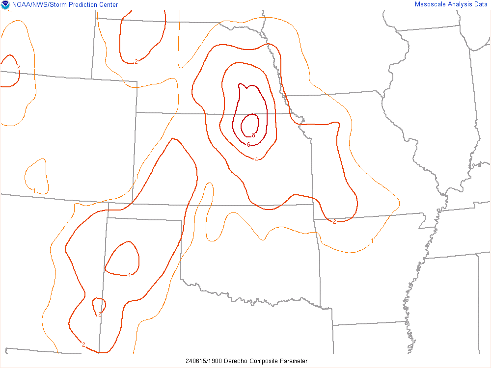
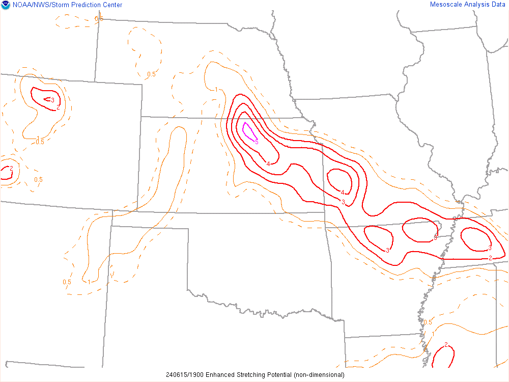
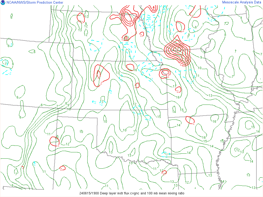
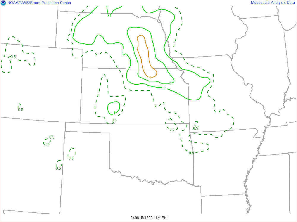
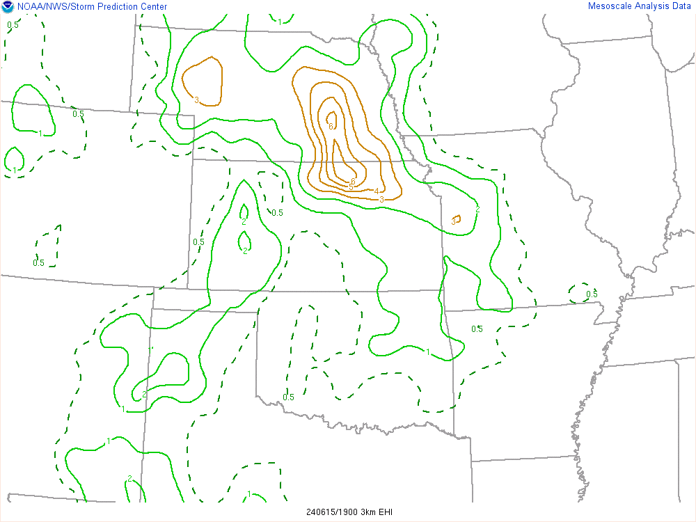
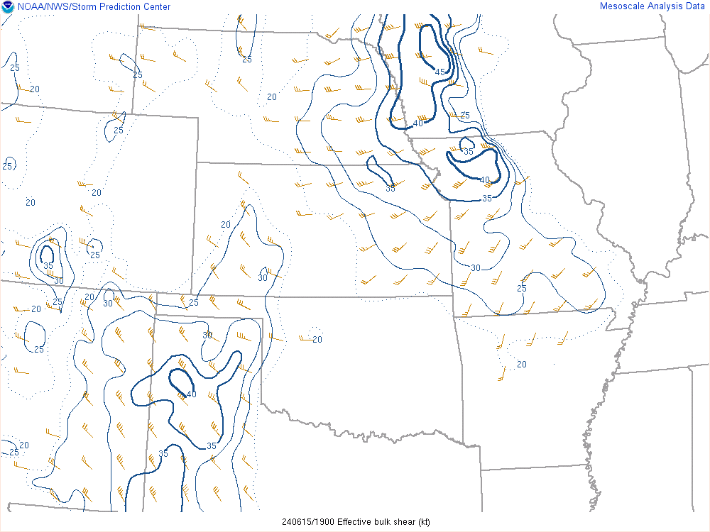
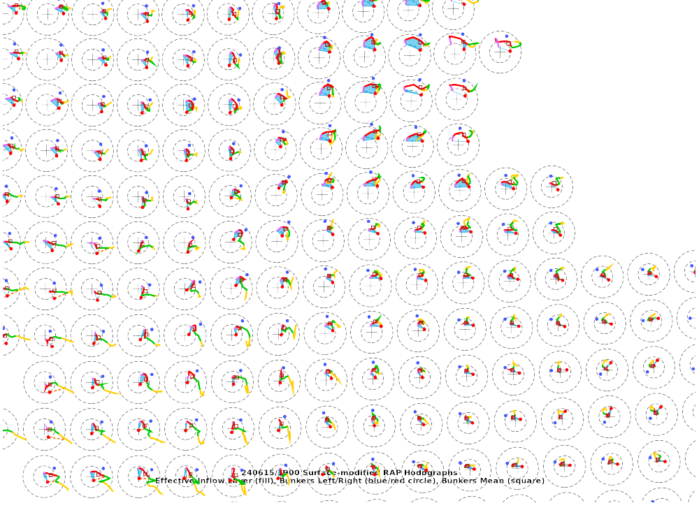
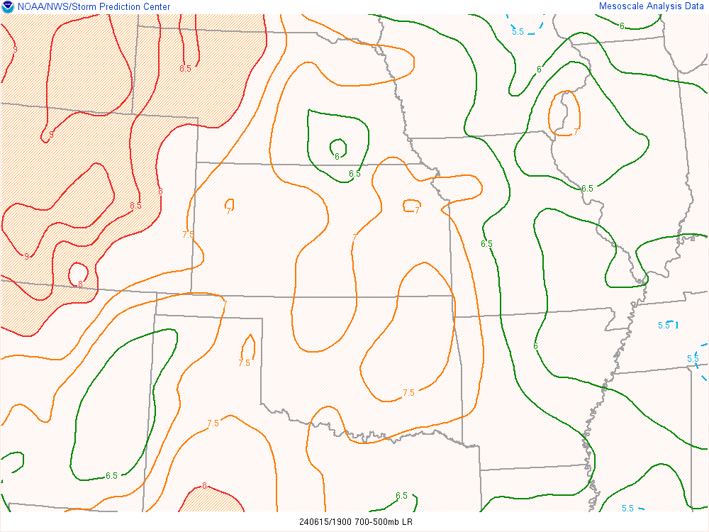
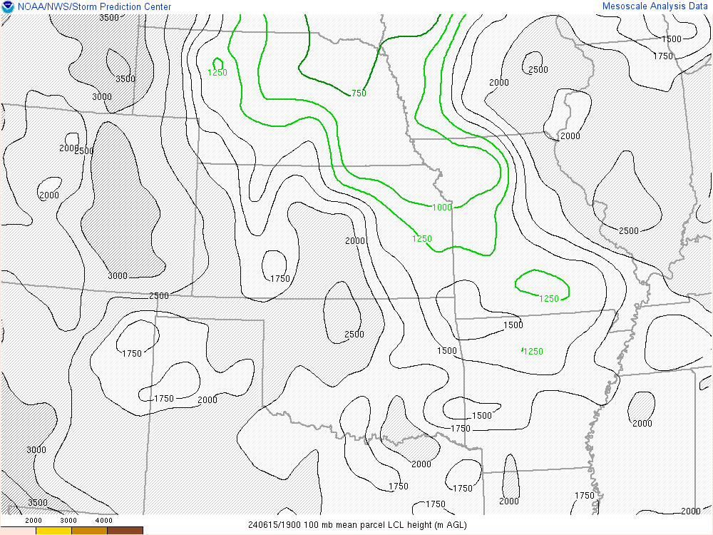
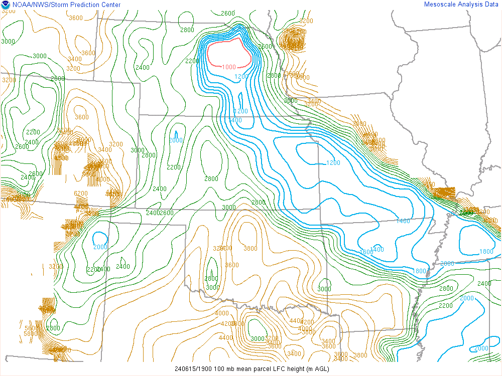
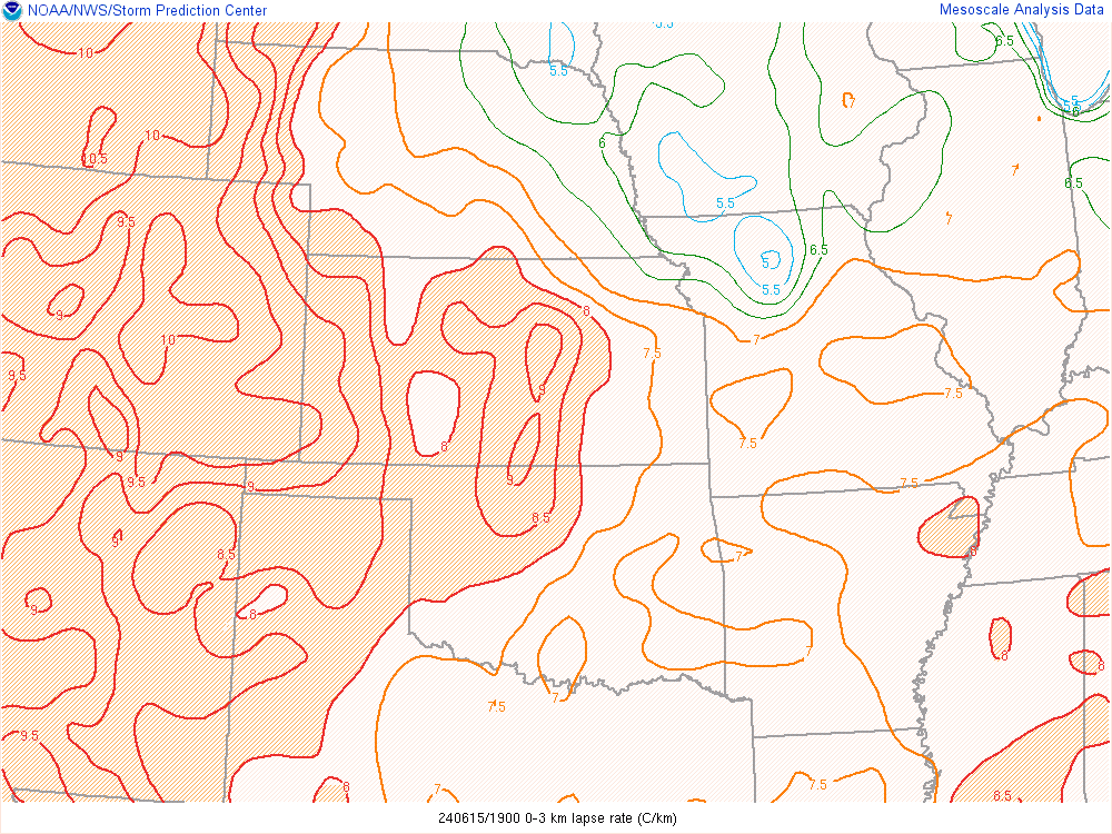
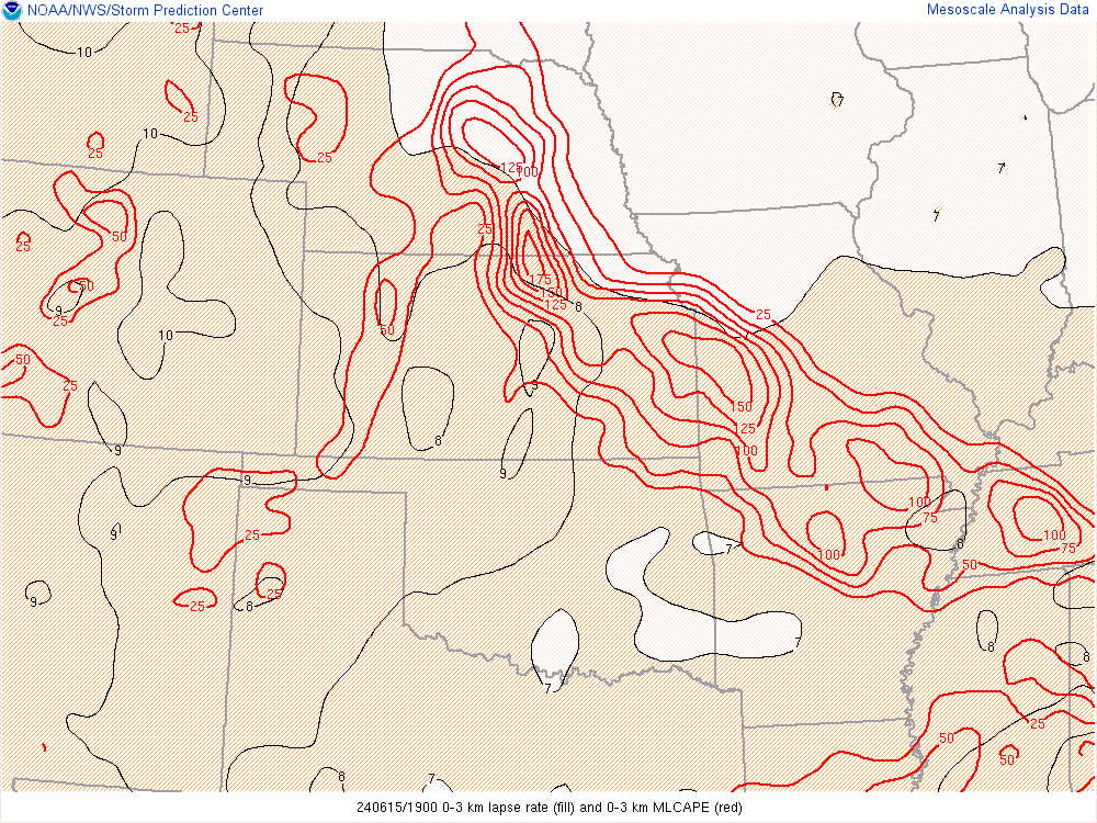
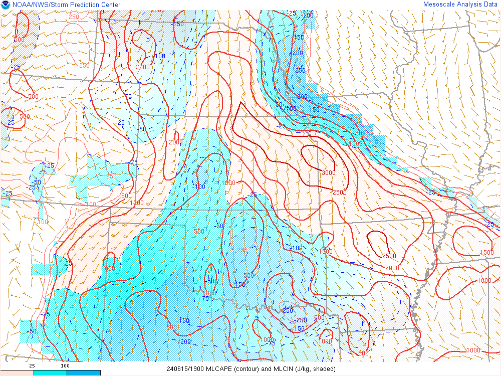
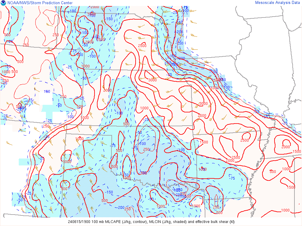
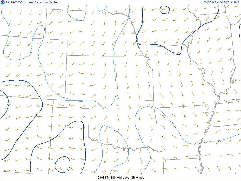
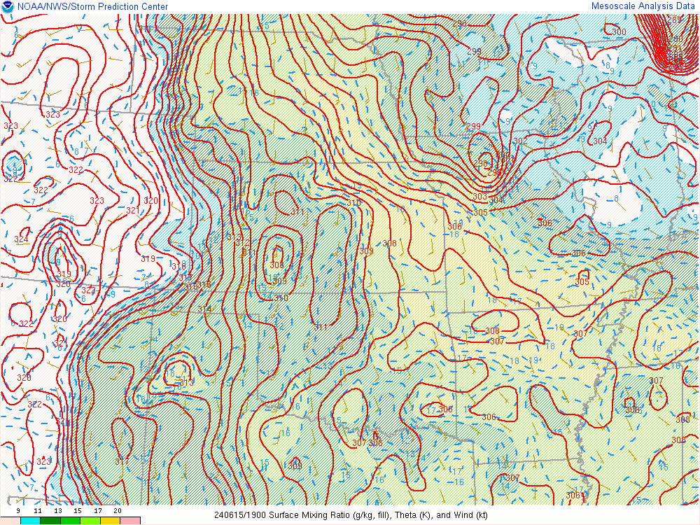
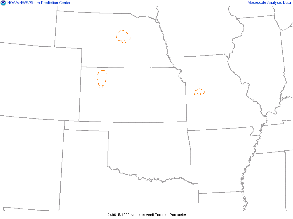
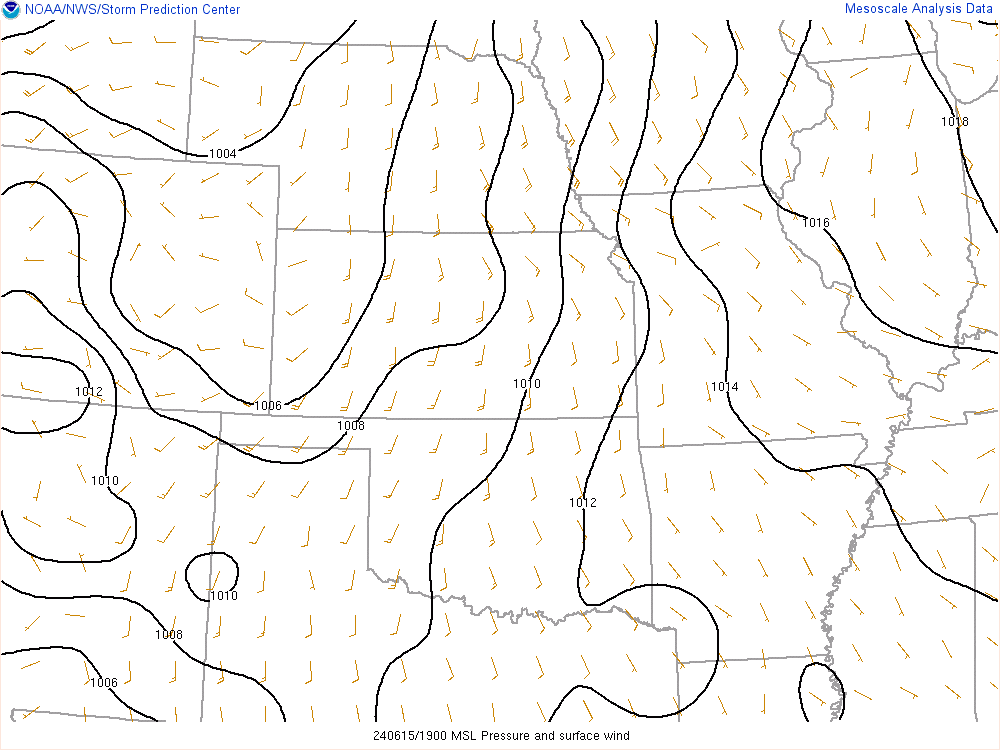
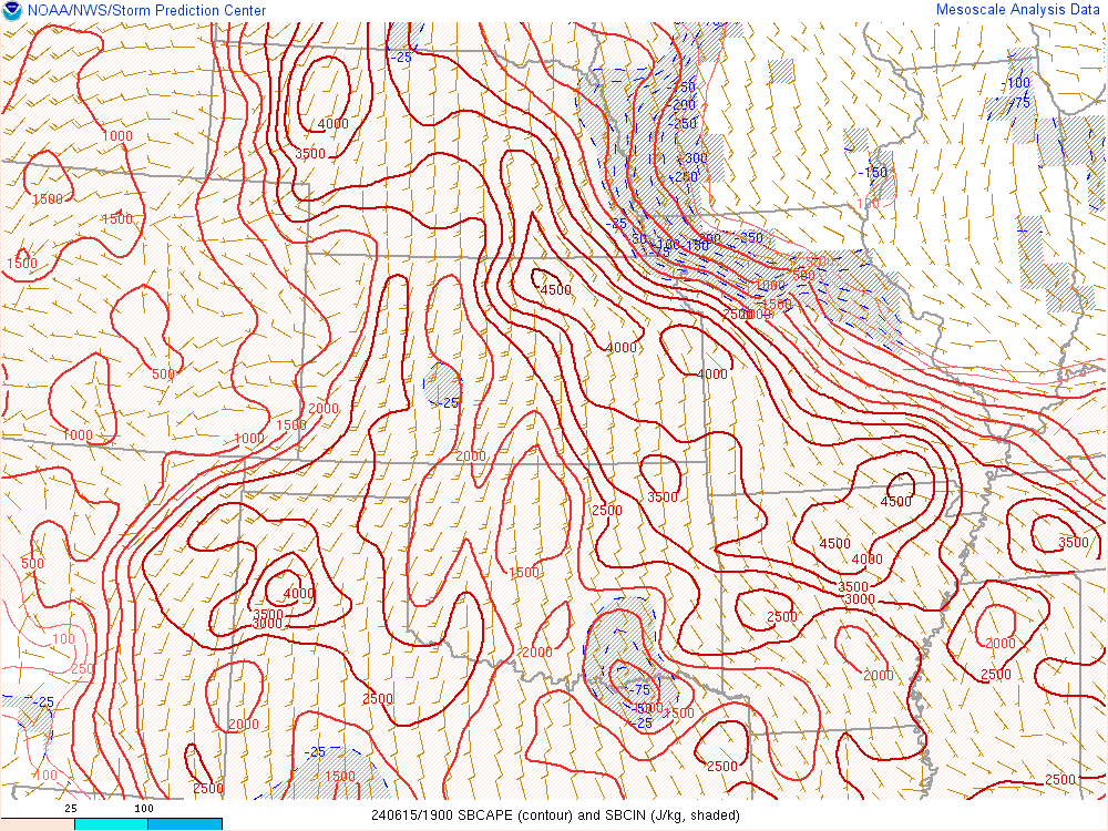
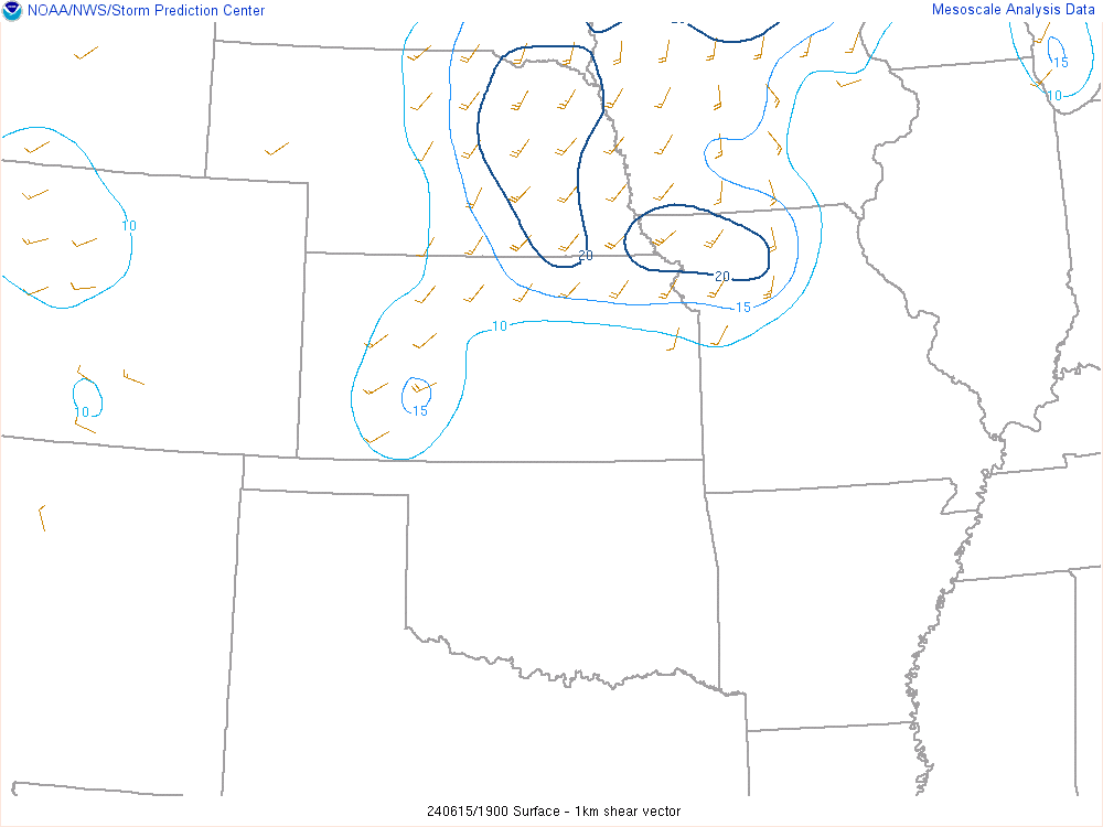
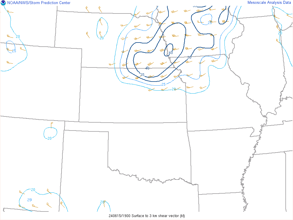
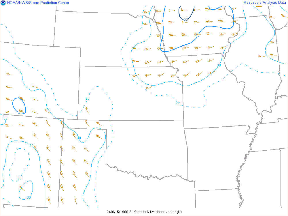
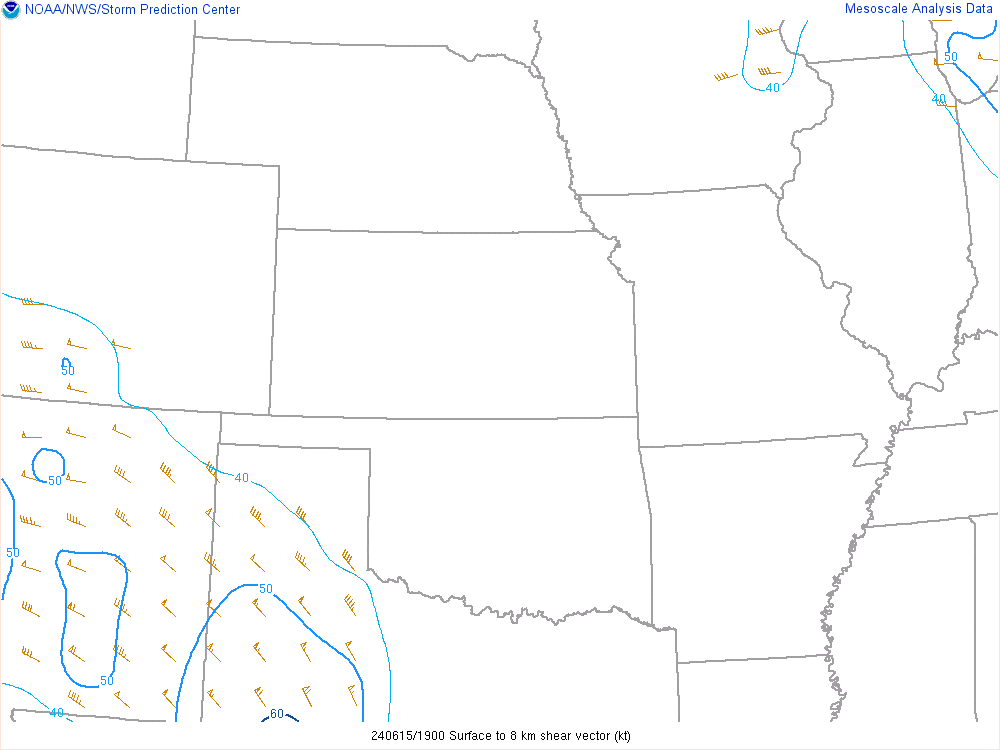
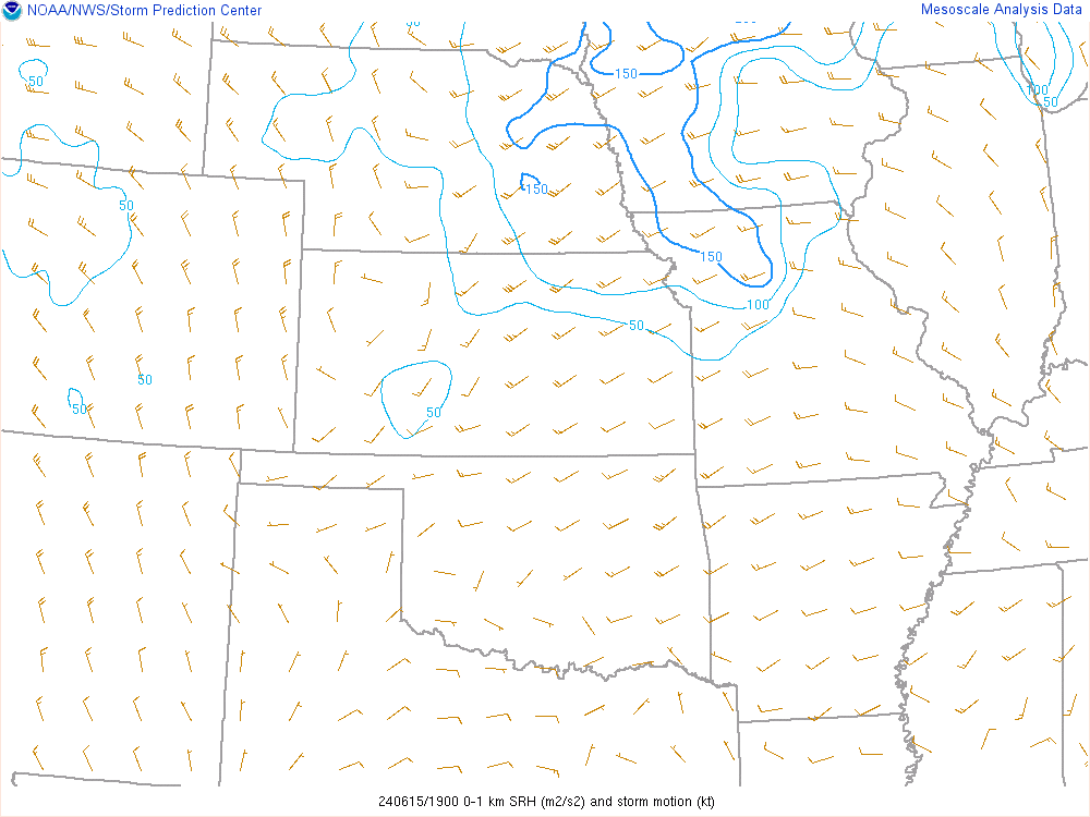
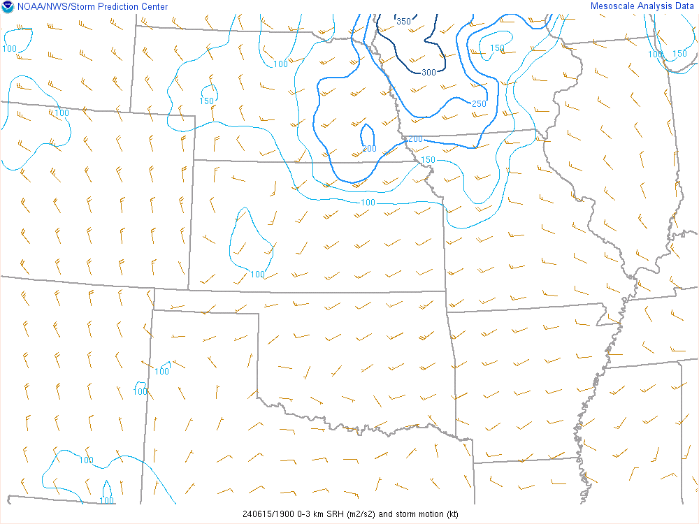
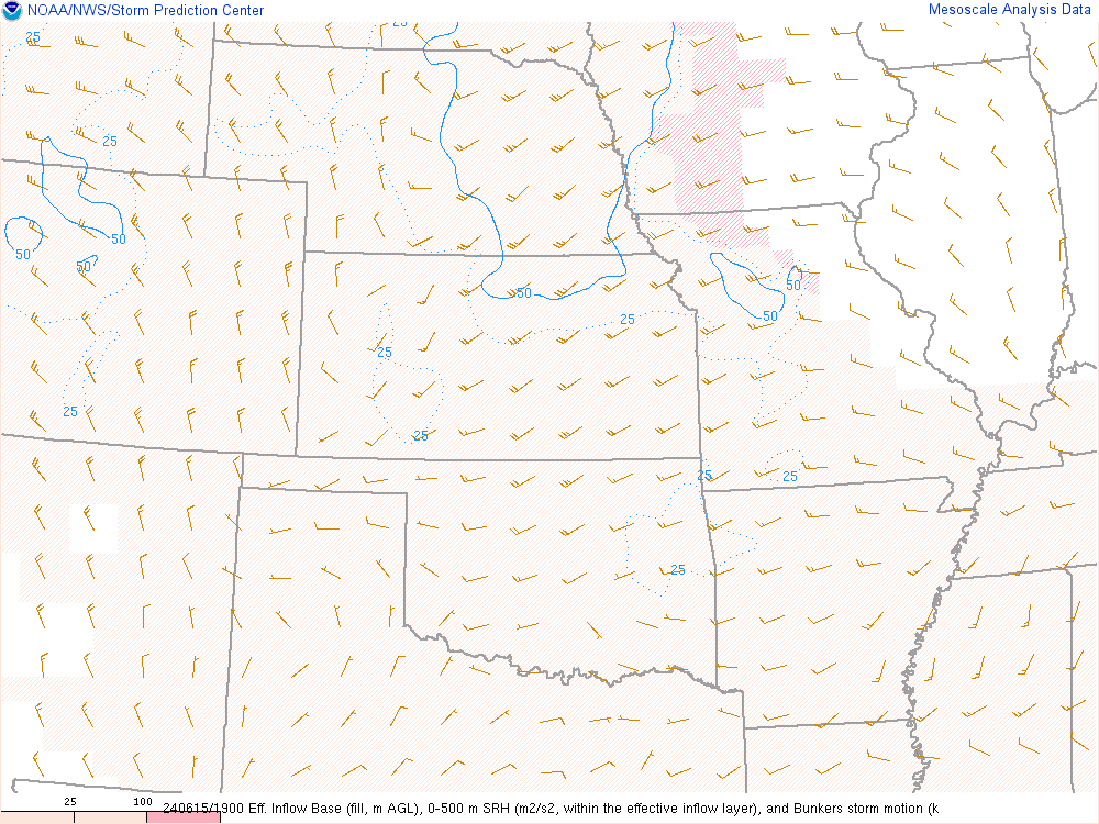
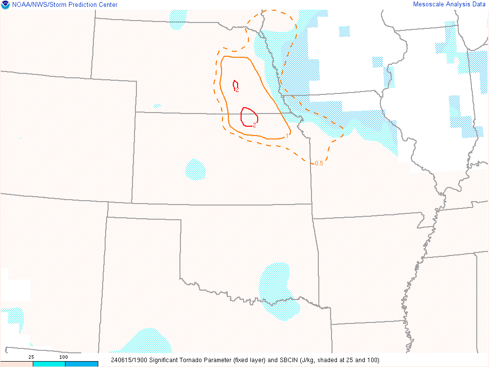
19Z SPC Mesoanalysis and data update
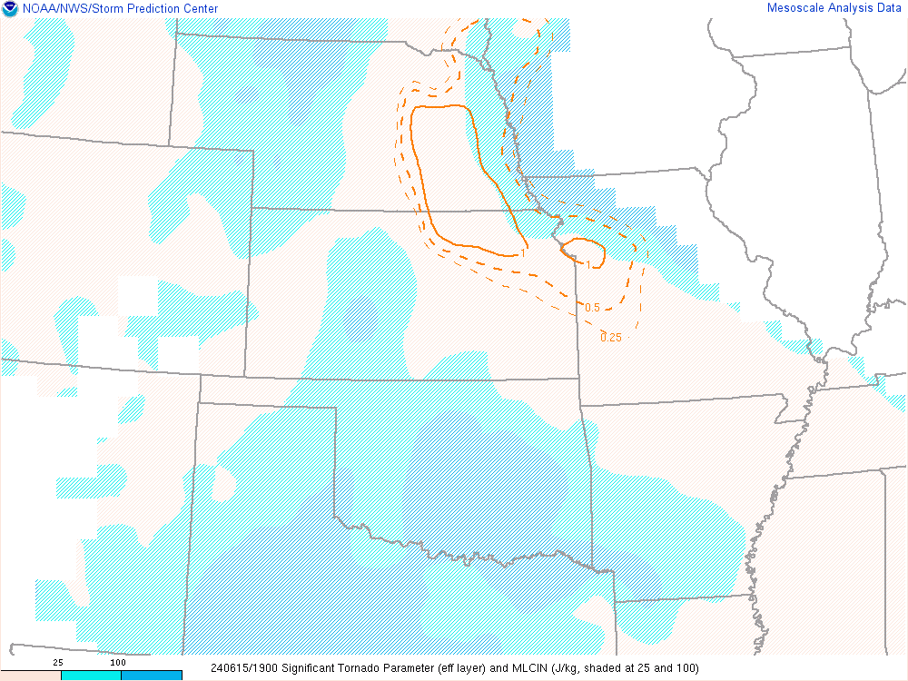
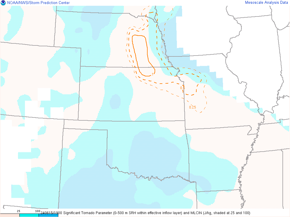
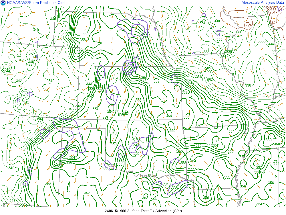
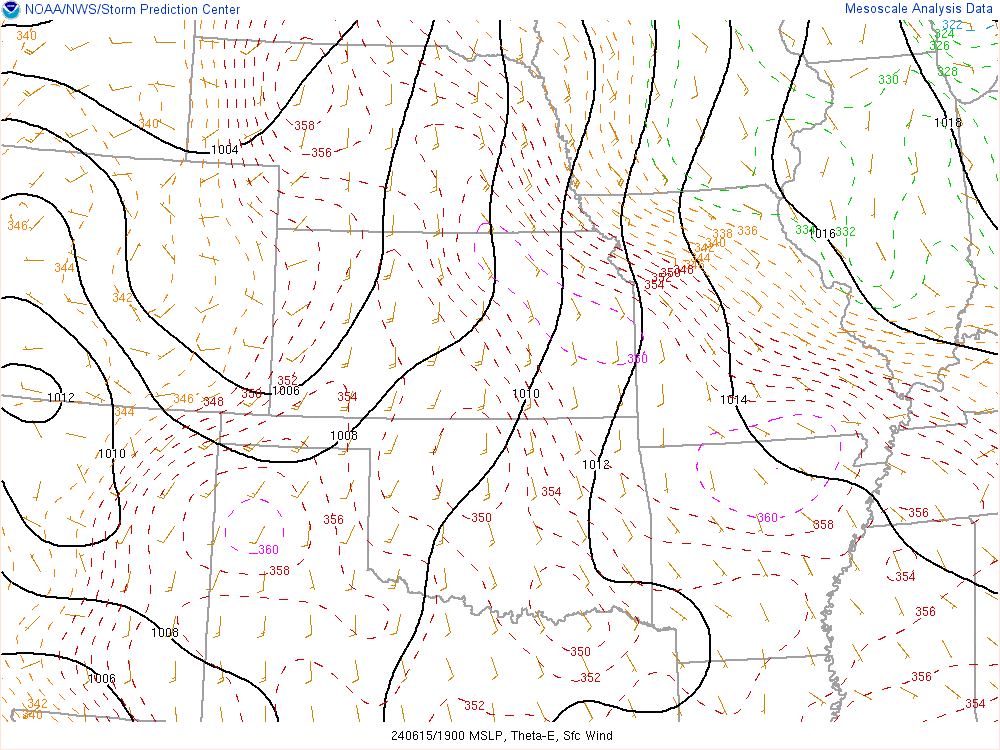
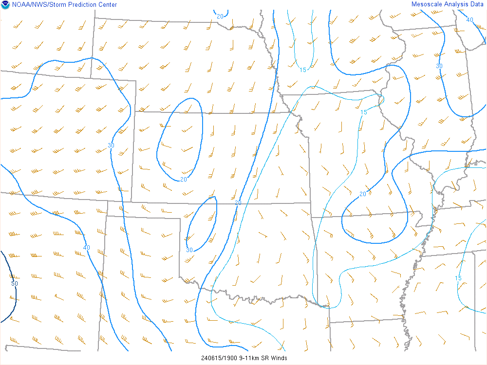
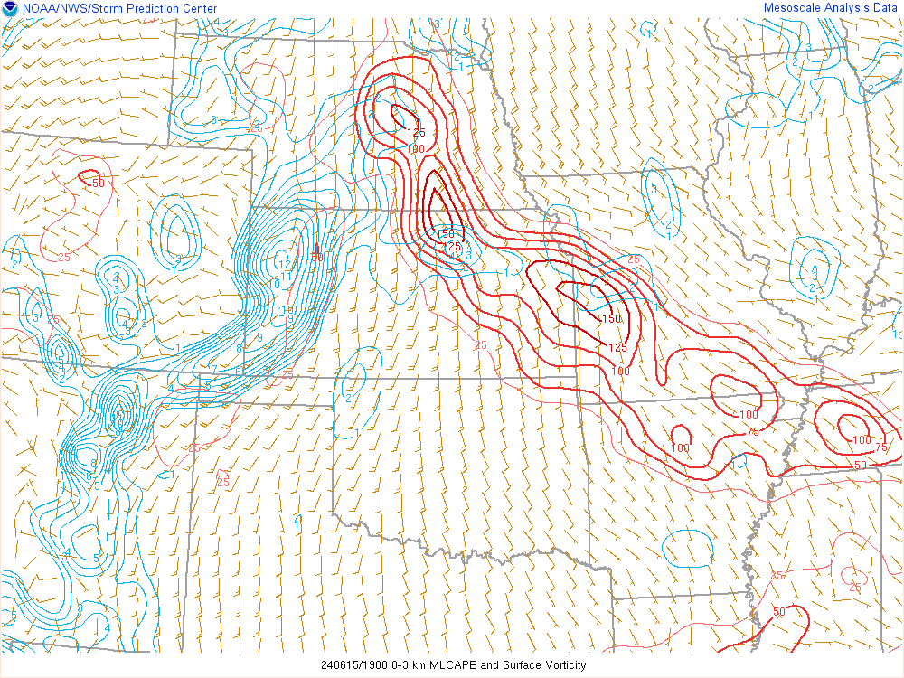
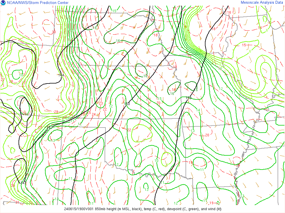
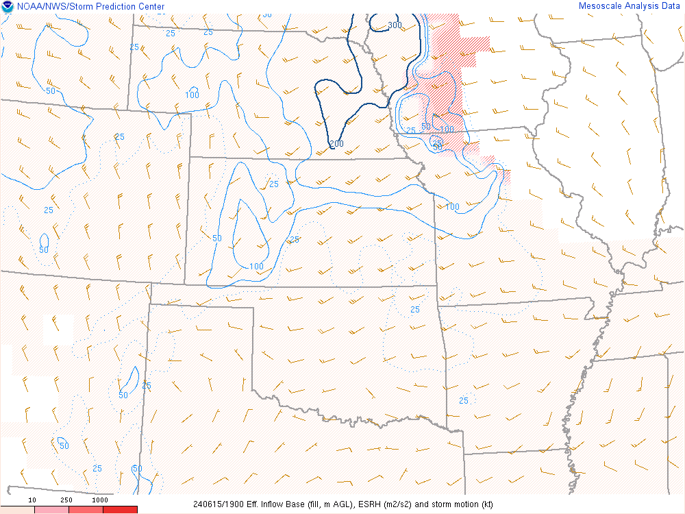
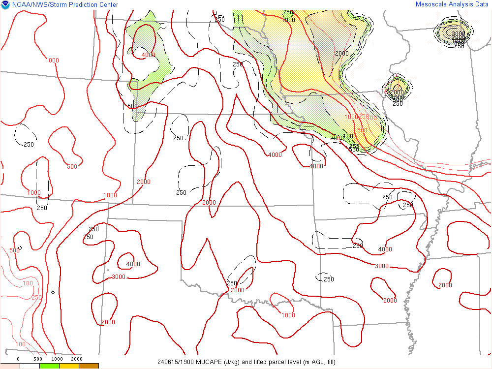
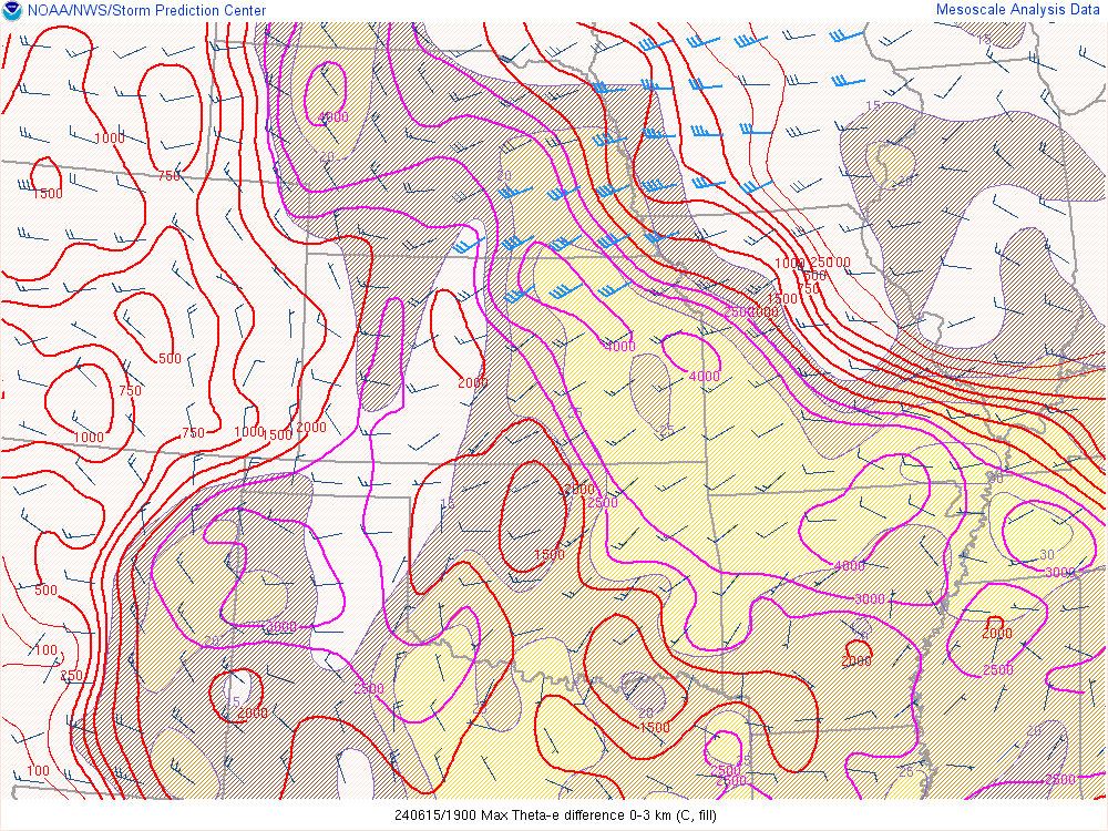
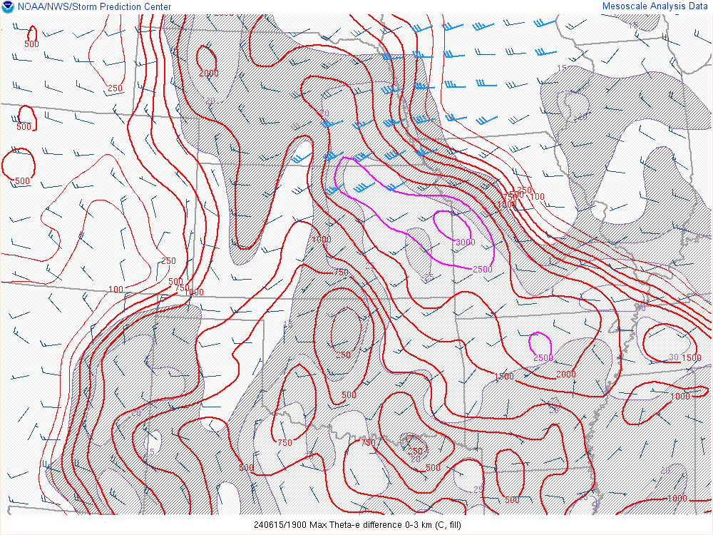
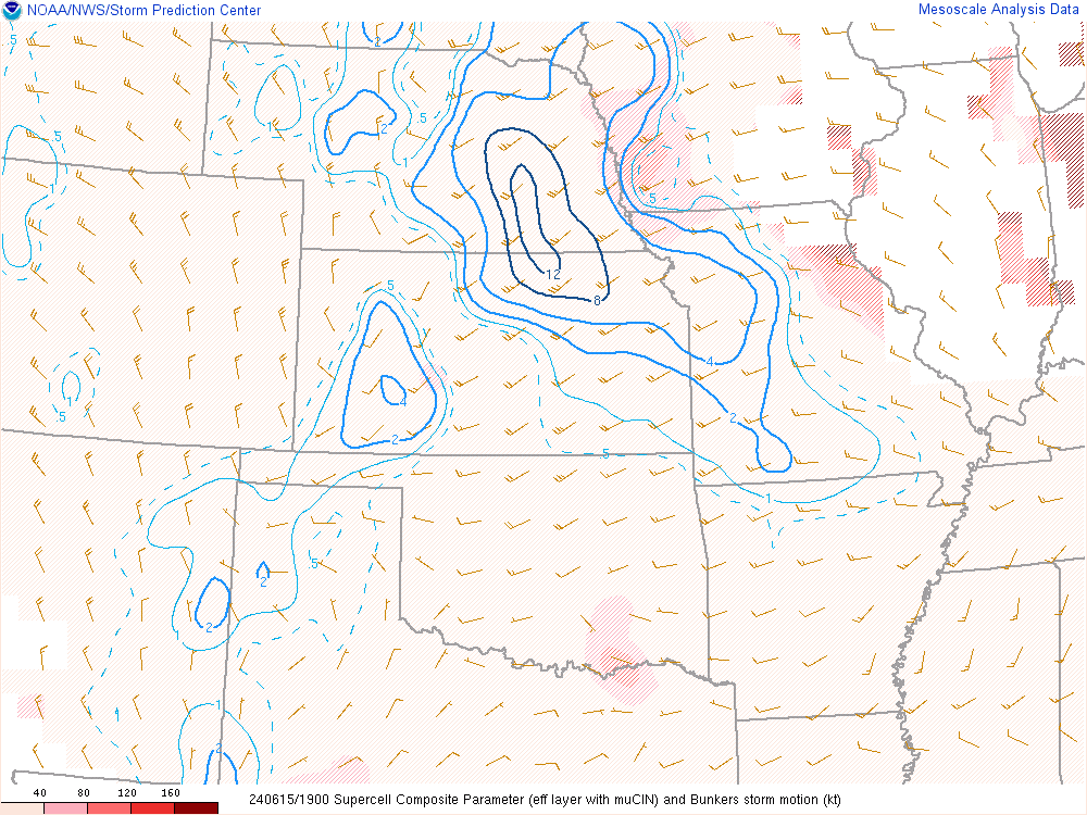
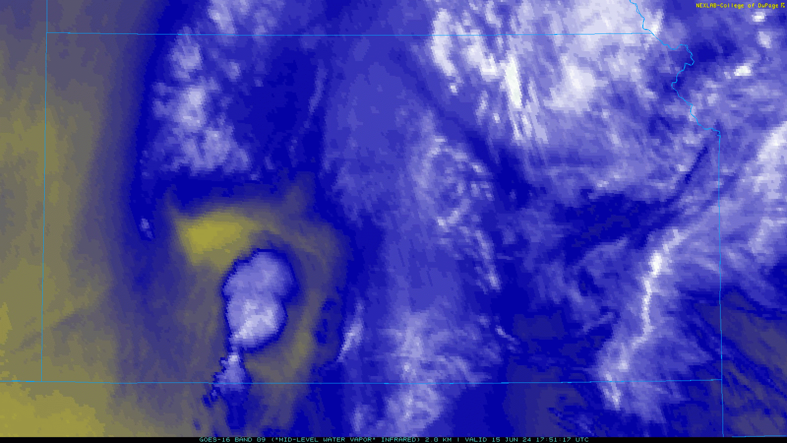
I was also very intrigued by the “bullet” I could see coming out of Kansas on the Mid Level Water Vapor Loop. It looks like some sort of a MCV or something underneath. This was obviously the cause of the updrafts along the outflow boundary in Kansas.
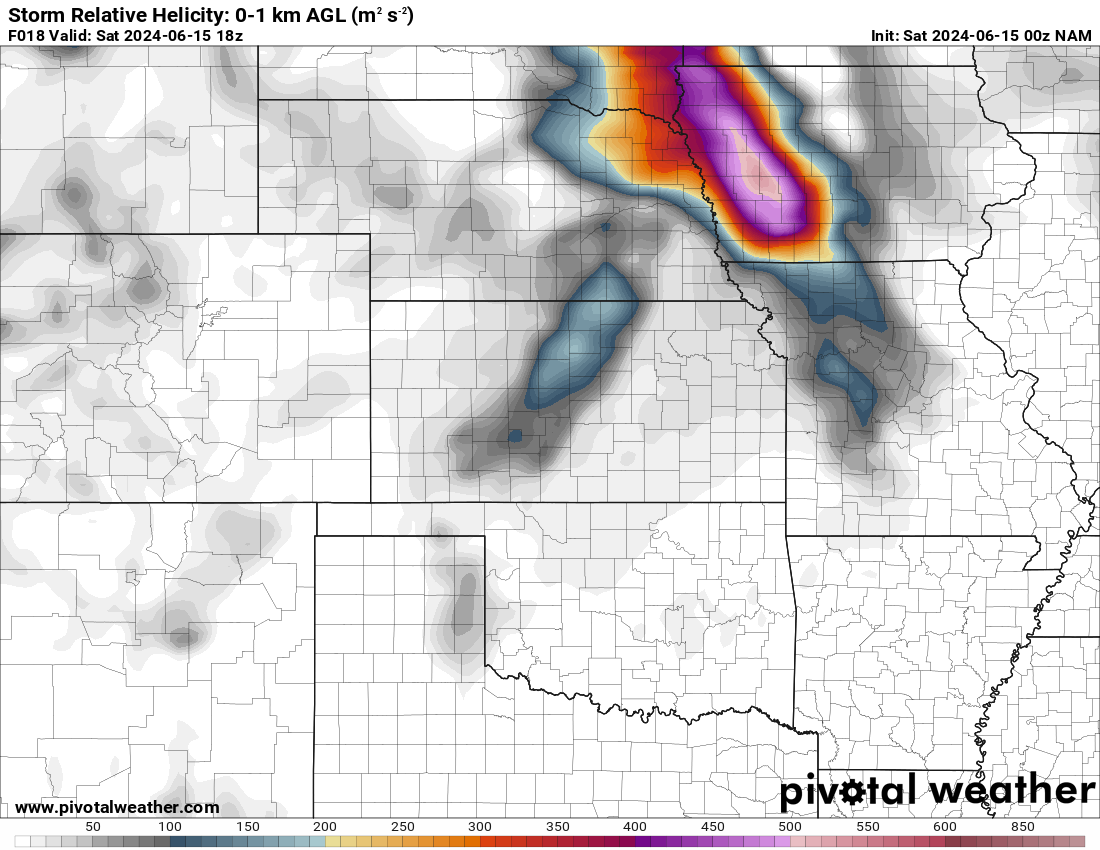
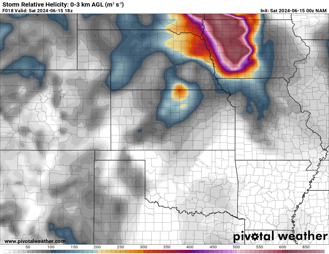
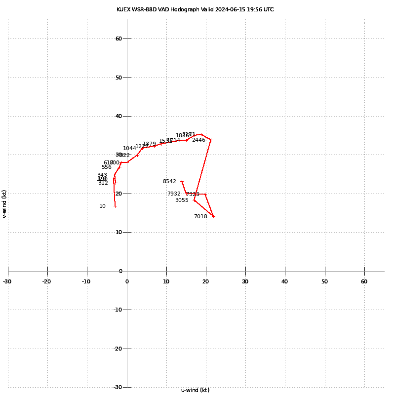
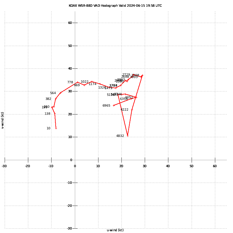
Both Hastings and Omaha radar VAD Hodograph looked pretty good, with turning in the low levels.
I was excited. This day seemed to be coming together. Beatrice was 83/72 with an east/southeast wind.
Getting on the storm near Hebron
The storm was intensifying south of Hebron so fast that I decided to drop south to US136 to observe. Motion was more northerly than easterly, so after a short observation I started back north. I was stuck behind someone going 50 through the construction zone, so I bailed at Belvidere and started eastbound towards Alexandria. I headed north out of Alexandria and sat at the junction with Highway 4 for awhile.
The storm was maturing and seemed to be consolidating the updrafts. I continued east towards Plymouth and then to De Witt.
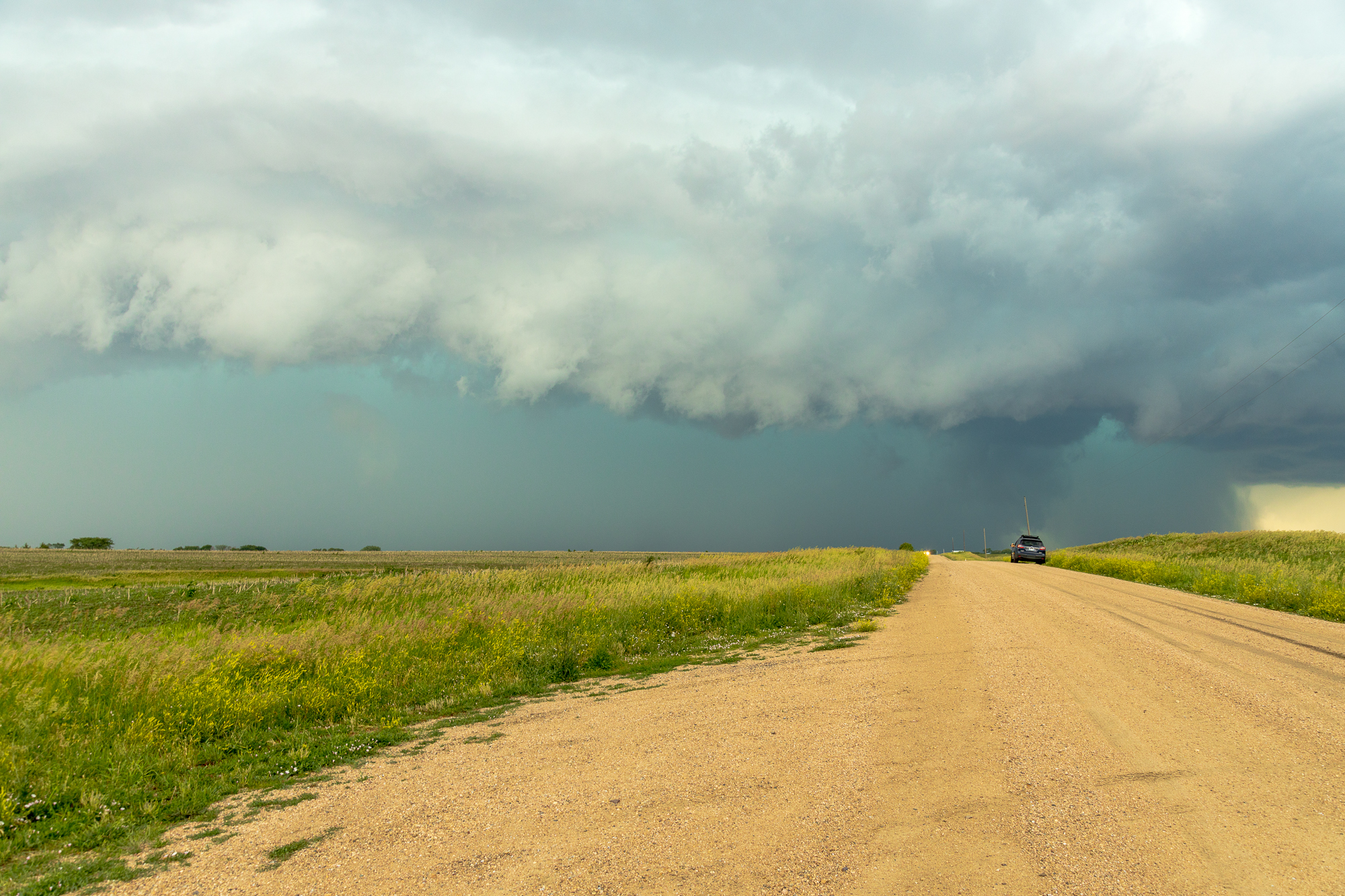
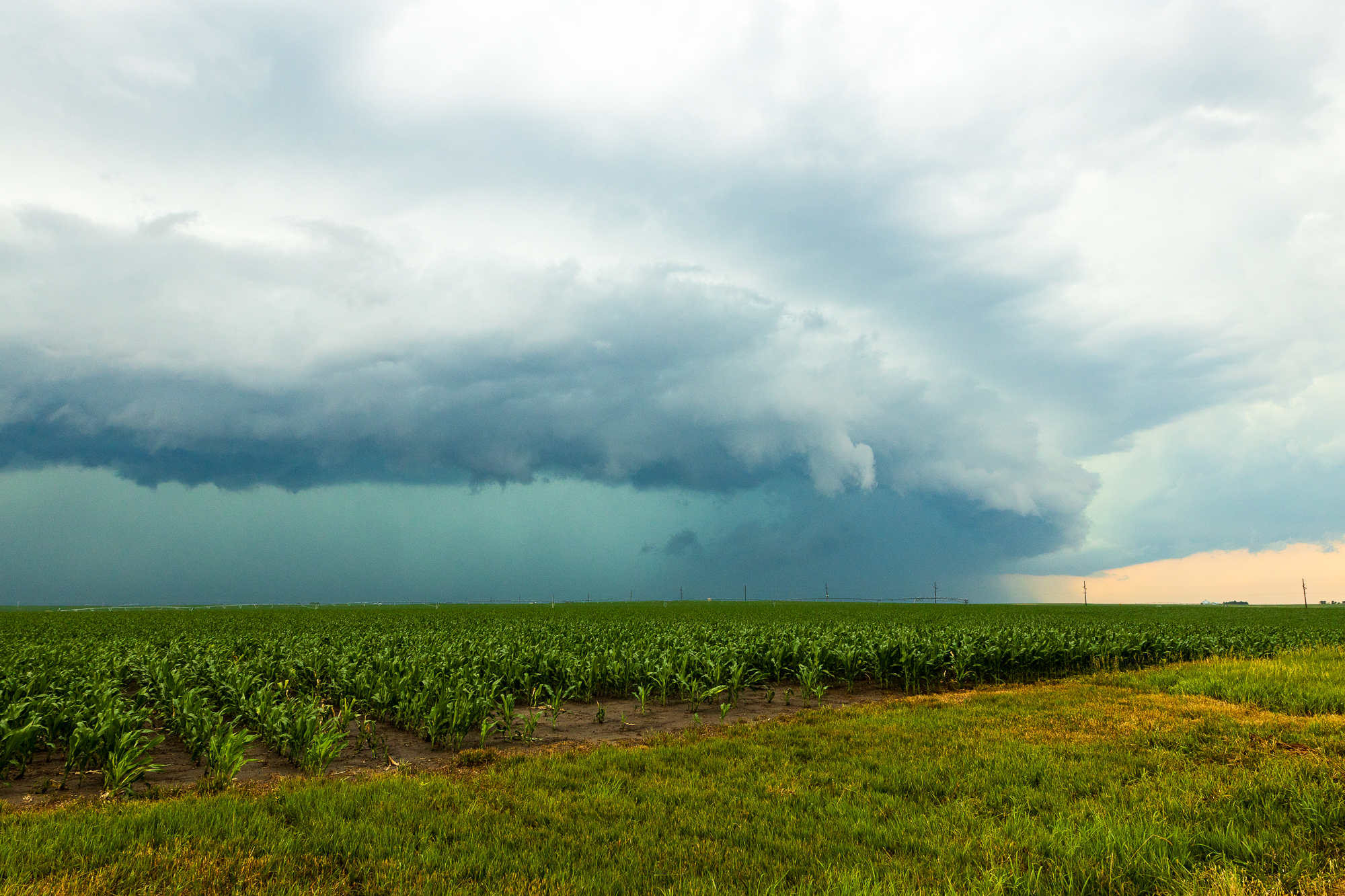
Shelfing Out
As I sat near Plymouth, I watched the storm becoming outflow dominant. It was looking pretty cold and had produced a nice shelf cloud.

I continued east to the junction with US77 before heading north to Lincoln. I flirted with the idea of heading north to the isolated storms which were now tornado warned, but they were 3 counties away and looked like the updrafts were pissing all over each other. I needed to find a restroom, so I stopped in Lincoln.
I then started to search out hotel rooms. Apparently it was College World Series weekend in Omaha, as there was not a single reasonably priced hotel room to be found in Nebraska. So I started doing a forecast for the 16th and realized it probably made more sense to leave and head back to Norman now as Google Maps had me home at 1am.
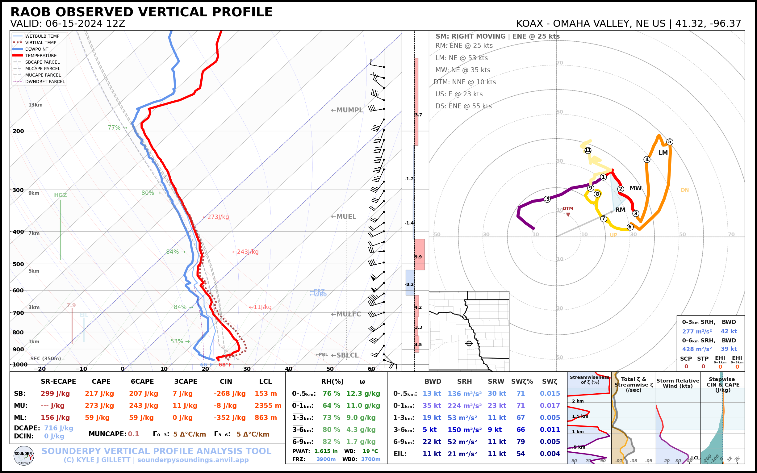
00Z Omaha (OAX) Upper Air Sounding
Looks a little capped around 800-825 with a huge weakness around 650 in the winds.

I’m not sure what the failure mode for the 15th was. It seems like perhaps the little ‘bullet’ depicted above in the water vapor loop may have provided too much forcing. The outflow boundary (Initiating boundary) seemed perpendicular to the flow. At any rate, some chasers were able to bail north to the tornadic storms and score. In retrospect, I likely could have as well but decided to take my bust. I arrived home shortly after 1am.


